Blackland TX · ← All the original surveys
Jeremiah Day Survey, Abstract 202
- Granted to
- Jeremiah Day
- Kind of grant
- Headright, first classLand for settlers who were in Texas before independence, 2 March 1836.
- Land Office file
- Robertson 1st class, file 1022
- Certificate
- No. 6001/6002
- Acres
- 3268
- Patented to
- Robert E. Niblett
- Patent
- 30 Aug 1861 · No. 464, Vol. 16
Tap a survey to open its page.
What the file shows
Jeremiah Day's 1838 Jasper County headright certificate No. 275 for a league and labor was reduced to a General Land Office balance certificate for 18,449,584 square varas in September 1854. Deputy surveyor J. M. Eliot located it in Navarro County on 25-26 November 1857, a large irregular tract four or five miles west of Corsicana on Briar and Richland Creeks. Patent No. 464 went to assignee Robert C. Neblett on 30 August 1861 and was delivered to Miller & Dowell of Austin in May 1872 on the order of his executor.
The certificate
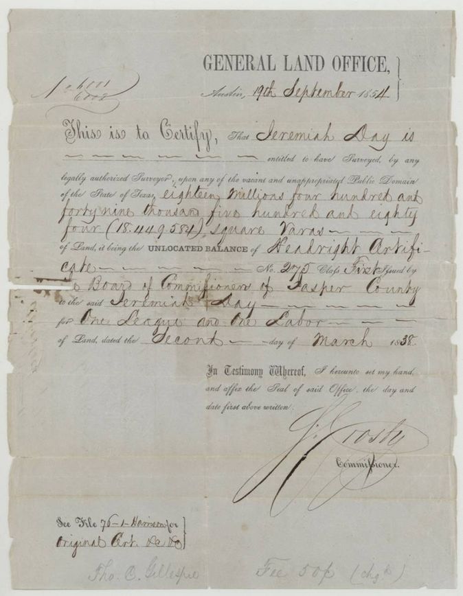
headright 1st class, unlocated balance (GLO balance certificate), No. 275 (original Jasper County certificate); balance certificate Nos. 6001/6002, 18,449,584 square varas (about 3,268 acres) balance of one league and one labor, General Land Office, Commissioner (signature reads S. Crosby(?)); original certificate by the Board of Land Commissioners of Jasper County, Austin, 1854-09-19 (original Jasper County certificate dated 1838-03-02).
Jeremiah Day entitled to have surveyed 18,449,584 square varas, the unlocated balance of headright certificate No. 275 class first issued 2 March 1838 by the Board of Land Commissioners of Jasper County for one league and one labor. Note: 'See file 76-1 Harrison for original cert. Do. Do.'; jacket also cites file 904 Navarro 1st, 76 Harrison, 97 Montgomery.
Changes of hand
- undatedJeremiah Day → Robert C. Neblett (jacket and index spell it Niblett). No deed in this file; Neblett is called 'assignee' on the jacket, the wrapper and in his executor's affidavit. Old wrapper (p13): 'For certificate see file 904 Navarro 1st & transfer to R. C. Neblett(?)', so the assignment is in file 904.
The survey
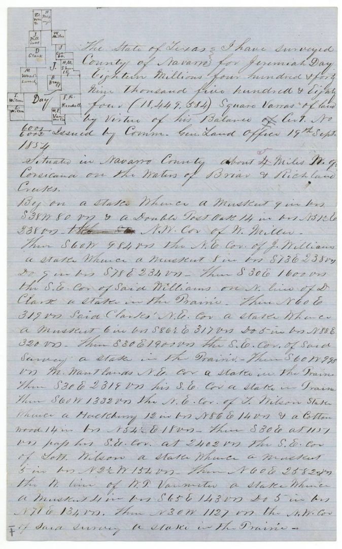
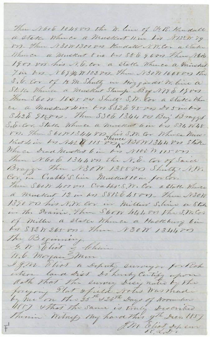
1857-11-25 and 26 (certified 1857-12-09), J. M. Eliot, Deputy Surveyor, Robertson Land District.
Navarro County, about 4(?) (altered to 5 in red ink) miles W of Corsicana on the waters of Briar and Richland Creeks
Chain carriers: G. W. Eliot, W. C. Morgan.
Book U(?), page 229
The patent
30 Aug 1861, No. 464, Vol. 16, to Robert C. Neblett, assignee (jacket/index: Robert E. Niblett), delivered to Messrs. Miller & Dowell, 1872-05-14.
Also in the file
- Index lists the patentee as Niblett, Robert E; the papers write the name Neblett and give his first name as Robert C. (jacket also reads Niblett).
- Index lists acres as 3268; the file gives 18,449,584 square varas, which is about 3,268 acres.
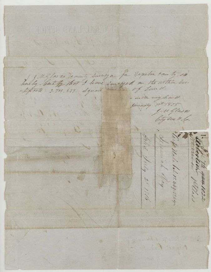
- The certificate for 18,449,584 sq varas is the balance after 3,709,259 sq varas were surveyed in Upshur County in January 1855, so the Day league and labor was split among counties.
- The Navarro survey was filed 19 Sept 1859, five years to the day after the balance certificate issued.
- Distance from Corsicana in the field notes reads 4 with a red-ink 5 written over it.
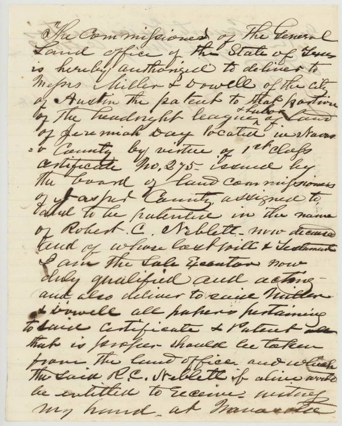
- The patent sat undelivered for more than ten years until Neblett's executor ordered in 1872 that it be handed to Miller & Dowell of Austin (a delivery order, not a sale).
- Index and jacket agree on patent date 30 Aug 1861, No. 464 Vol. 16.
Timeline
- 2 Mar 1838Jasper County Board of Land Commissioners issues headright certificate No. 275 to Jeremiah Day for a league and labor
- 19 Sep 1854General Land Office issues balance certificate for 18,449,584 sq varas
- 1 Jan 1855J. M. Glasco surveys 3,709,259 sq varas of it in Upshur County
- 25 Nov 1857J. M. Eliot surveys the Navarro County tract (26 Nov second day)
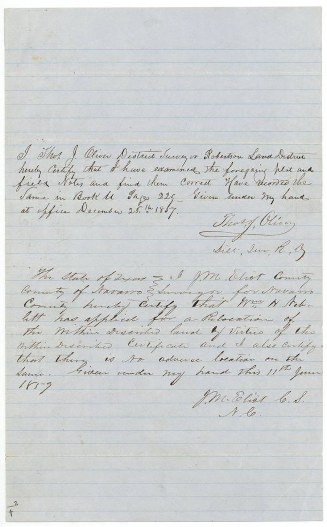
- 28 Dec 1857Thos. J. Oliver examines and records the field notes
- 11 Jun 1859County surveyor certifies Wm. H. Neblett's relocation application, no adverse location
- 19 Sep 1859Field notes filed in the General Land Office
- 20 Aug 1861Survey checked correct on map of Navarro County
- 30 Aug 1861Patent No. 464 Vol. 16 to Robert C. Neblett, assignee
- Dec 1871Robert C. Neblett dies in Grimes County
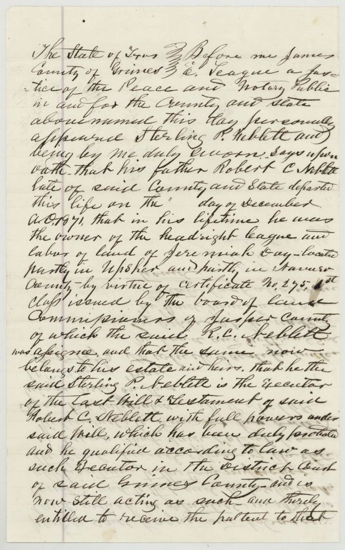
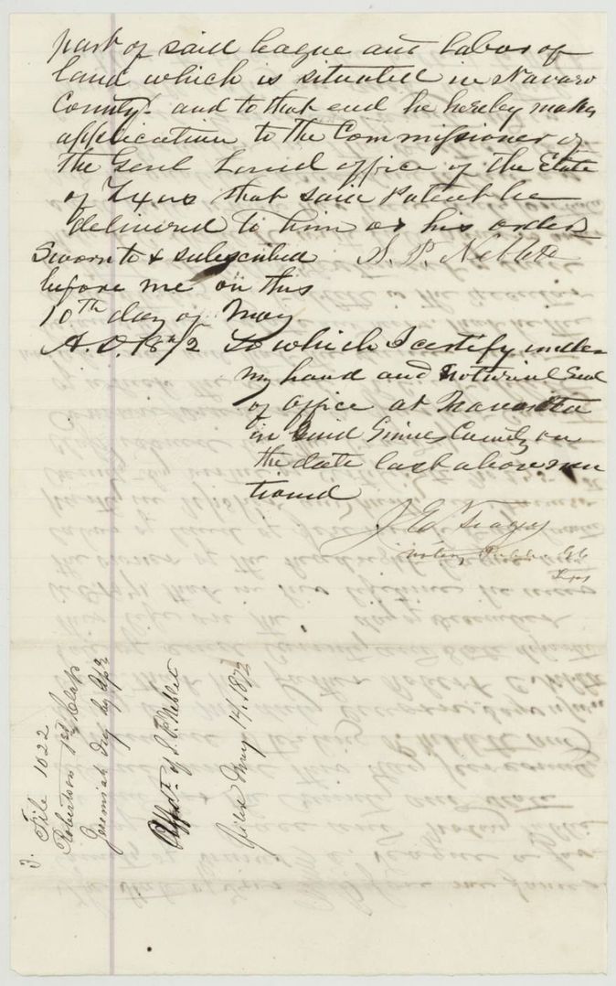
- 10 May 1872Executor Sterling P. Neblett applies for delivery of the patent to Miller & Dowell
- 14 May 1872Patent delivered to Miller & Dowell
The papers in the file
Every page of the Land Office file, in the order the Land Office keeps them (13 pages). Tap a page to see it larger.
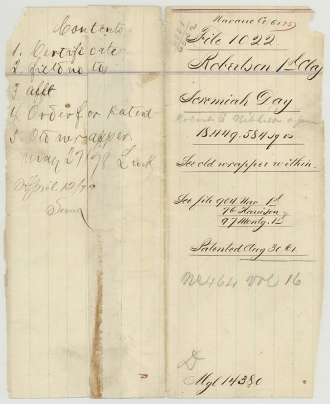
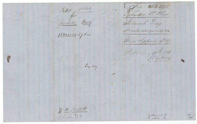
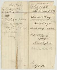 File jacketOld jacket for file 1022, Robertson 1st class, Jeremiah Day, 18,449,584 square varas, patented 30 Aug 1861 to Robert E. Niblett(?) as assignee.General Land Office, file 1022, page 1 · in the scan
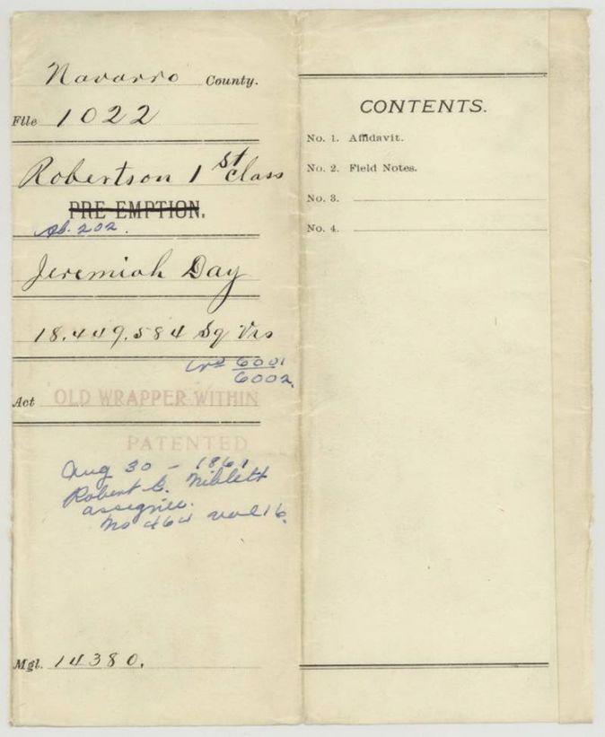
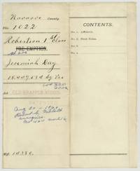 WrapperPrinted Navarro County wrapper for file 1022 listing affidavit and field notes, with the patent entry No. 464 Vol. 16 to Robert C. Niblett, assignee.General Land Office, file 1022, page 2 · in the scan
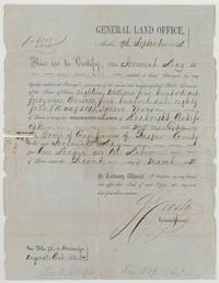 CertificateGeneral Land Office balance certificate to Jeremiah Day for 18,449,584 square varas, unlocated balance of Jasper County certificate No. 275.General Land Office, file 1022, page 3 · in the scan
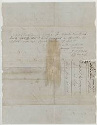 Back of the certificateBack of the certificate: Upshur County surveyor J. M. Glasco certifies surveying 3,709,259 square varas on it, 1 Jan 1855.General Land Office, file 1022, page 4 · in the scan
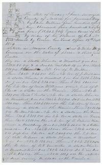 Field notesFirst page of J. M. Eliot's field notes and plat of 18,449,584 square varas for Jeremiah Day west of Corsicana.General Land Office, file 1022, page 5 · in the scan
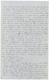 Field notesClose of the field notes with chain carriers G. W. Eliot and W. C. Morgan, surveyed 25-26 Nov 1857, certified 9 Dec 1857.General Land Office, file 1022, page 6 · in the scan
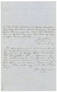 Surveyor's certificateDistrict Surveyor Thos. J. Oliver examines the notes and records them, and county surveyor Eliot certifies Wm. H. Neblett's relocation, 11 June 1859.General Land Office, file 1022, page 7 · in the scan
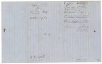 WrapperWrapper for the field notes, filed 19 September 1859, patented 30 August 1861, with 'W. H. Neblett' and Book page 229.General Land Office, file 1022, page 8 · in the scan
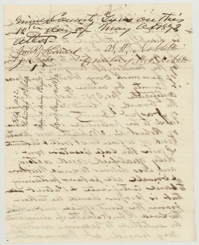
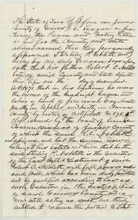 AffidavitSterling P. Neblett swears before a Grimes County notary that his father Robert C. Neblett, who died December 1871, owned Day's headright.General Land Office, file 1022, page 9 · in the scan
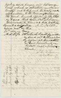 AffidavitEnd of the Neblett affidavit asking the Commissioner to deliver the patent to him or his order, sworn 10 May 1872, filed 14 May 1872.General Land Office, file 1022, page 10 · in the scan
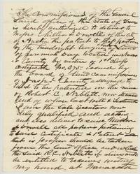 LetterExecutor's order authorizing the Commissioner to deliver the patent and papers to Messrs. Miller & Dowell of Austin.General Land Office, file 1022, page 11 · in the scan
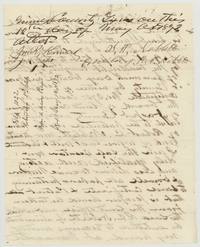 LetterSignature page of the order, signed S. P. Neblett, executor, and attested, filed 14 May 1872 as an order to deliver the patent.General Land Office, file 1022, page 12 · in the scan
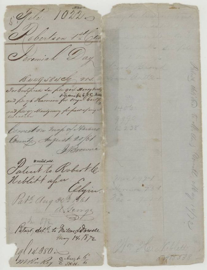
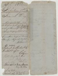 WrapperOld wrapper for file 1022 recording the patent to Robert C. Neblett 30 Aug 1861 and its delivery to Miller & Dowell 14 May 1872.General Land Office, file 1022, page 13 · in the scan
Scans courtesy of the Texas General Land Office, Austin, from its Land Grant Database.
On this ground today
- CemeteryBlack Hills Cemetery
Places that stand inside this survey’s lines as the state’s survey map draws them.
Neighbouring surveys
Sources
- Texas General Land Office, Land Grant Database: Navarro County, Abstract 202
- The Land Office file, scanned (PDF, at the General Land Office)
- 1924 map: courtesy of the Texas General Land Office, Austin, Map 73249, used under licence. Topo: U.S. Geological Survey, The National Map. Aerial photographs: U.S. Department of Agriculture, National Agriculture Imagery Program, 2012, 2018 and 2022. Survey outlines: Railroad Commission of Texas, Original Texas Land Survey. Grant records and files: Texas General Land Office.