Blackland TX · ← All the original surveys
Hugh McKenzie Survey, Abstract 594
- Granted to
- Hugh McKenzie
- Kind of grant
- Bounty warrantLand paid for service in the army of the Republic.
- Land Office file
- Robertson Bounty, file 433
- Certificate
- No. 17
- Acres
- 320
- Patented to
- Hugh McKenzie
- Patent
- 12 Apr 1851 · No. 632, Vol. 5
Tap a survey to open its page.
What the file shows
Hugh McKenzie received a duplicate Republic of Texas bounty warrant for 320 acres for three months' army service in 1836. David R. Mitchell surveyed it on Briar Creek, a branch of Pecan Creek, in June 1846, and after the warrant was approved in April 1851 the patent issued to McKenzie on 12 April 1851.
The certificate
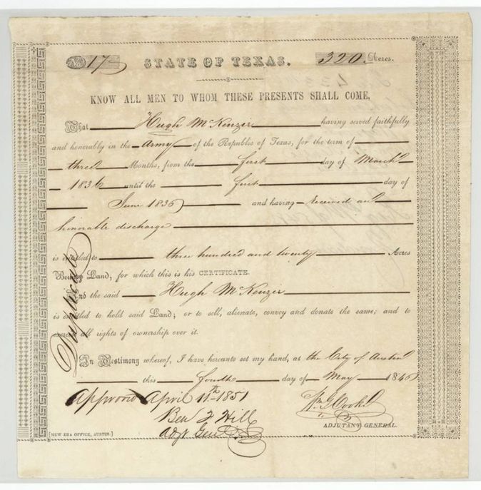
bounty warrant (duplicate), Army of the Republic of Texas, No. 17, 320 acres, Wm. G. Cooke, Adjutant General, State of Texas; approved by Ben F. Hill, Adjutant General, 11 April 1851, Austin, 4 May 1846.
Hugh McKenzie served faithfully and honorably in the Army of the Republic of Texas for three months, from 1 March 1836 until 1 June 1836, and received an honorable discharge; entitled to 320 acres of bounty land. 'Duplicate' is written along the margin.
The survey
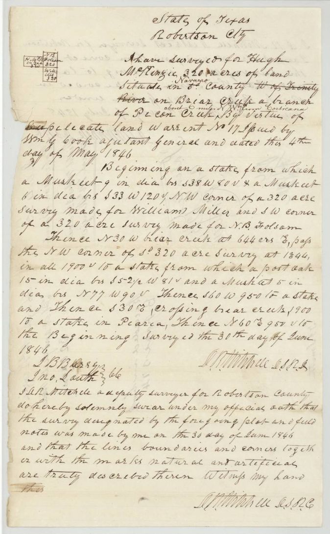
30 Jun 1846, David R. Mitchell, Deputy Surveyor, Robertson County.
Navarro County (written over 'Robertson'), on Briar Creek, a branch of Pecan Creek, about 6(?) miles NW from Corsicana
Chain carriers: J. B. Barry(?), Jno. Lauth(?).
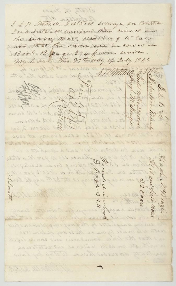
Book B, page 374
The patent
12 Apr 1851, No. 632, Vol. 5, to Hugh McKenzie (original grantee), delivered to not stated.
Also in the file
- The surveyor made the survey on 30 June 1846 but the field notes were not examined and recorded until 27 July 1848, and the warrant was approved by the Adjutant General only on 11 April 1851, the day before the patent.
- The warrant is marked 'Duplicate'; the original warrant is not in the file.
- Hugh McKenzie's service was only three months in 1836, but he received a full 320 acres.
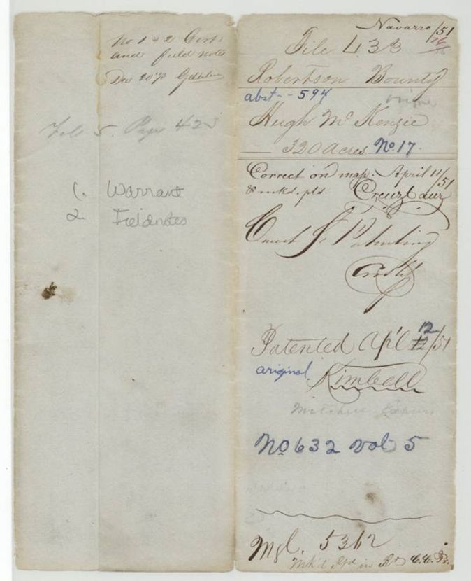
- Index says patent 12 Apr 1851 No. 632 Vol 5; agrees with the jacket.
Timeline
- 1 Mar 1836Hugh McKenzie begins three months' army service
- 4 May 1846Duplicate bounty warrant No. 17 for 320 acres issued at Austin by Adjutant General Cooke
- 30 Jun 1846David R. Mitchell surveys 320 acres on Briar Creek
- 27 Jul 1848Mitchell as District Surveyor examines the notes; recorded Book B p374
- 11 Apr 1851Warrant approved by Adjutant General Ben F. Hill; survey checked correct on the map
- 12 Apr 1851Patent No. 632 Vol. 5 to Hugh McKenzie
The papers in the file
Every page of the Land Office file, in the order the Land Office keeps them (5 pages). Tap a page to see it larger.
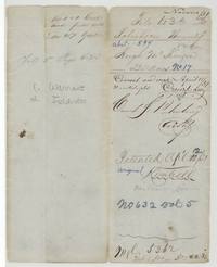 File jacketFile jacket 433, Robertson Bounty, Hugh McKenzie 320 acres, abst 594, patented to the original grantee 12 April 1851, No. 632 Vol 5.General Land Office, file 433, page 1 · in the scan
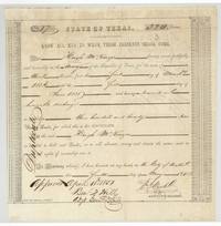 CertificateDuplicate bounty warrant No. 17 for 320 acres to Hugh McKenzie for three months' army service in 1836, signed Wm. G. Cooke and approved 11 April 1851.General Land Office, file 433, page 2 · in the scan
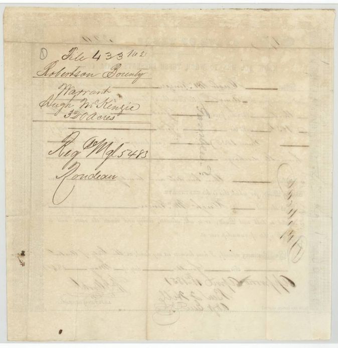
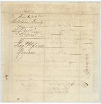 Back of the certificateBack of the warrant endorsed Robertson Bounty Warrant Hugh McKenzie 320 acres, Reg Mgl 5483, showing through the 1851 approval.General Land Office, file 433, page 3 · in the scan
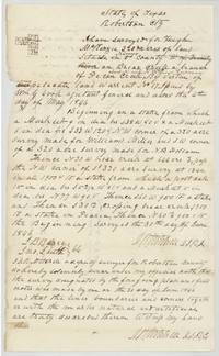 Field notesPlat and field notes for 320 acres for Hugh McKenzie on Briar Creek, surveyed 30 June 1846 by David R. Mitchell.General Land Office, file 433, page 4 · in the scan
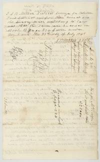 Surveyor's certificateMitchell's certificate of 27 July 1848 that the McKenzie notes were examined and recorded in Book B page 374, with the wrapper marked patented Apl 12/51.General Land Office, file 433, page 5 · in the scan
Scans courtesy of the Texas General Land Office, Austin, from its Land Grant Database.
Neighbouring surveys
Sources
- Texas General Land Office, Land Grant Database: Navarro County, Abstract 594
- The Land Office file, scanned (PDF, at the General Land Office)
- 1924 map: courtesy of the Texas General Land Office, Austin, Map 73249, used under licence. Topo: U.S. Geological Survey, The National Map. Aerial photographs: U.S. Department of Agriculture, National Agriculture Imagery Program, 2012, 2018 and 2022. Survey outlines: Railroad Commission of Texas, Original Texas Land Survey. Grant records and files: Texas General Land Office.