Blackland TX · ← All the original surveys
William Miller Survey, Abstract 562
- Granted to
- William Miller
- Kind of grant
- Headright, third classLand for later settlers, including the colonists of Mercer’s Colony.
- Land Office file
- Robertson 3rd class, file 768
- Certificate
- No. 66
- Acres
- 320
- Patented to
- William Miller
- Patent
- 14 Jul 1871 · No. 624, Vol. 38
Tap a survey to open its page.
What the file shows
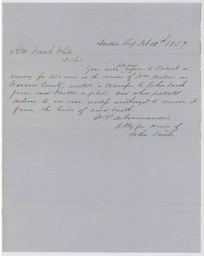
William Miller's headright certificate No. 66 was first granted conditionally by the Montgomery County land board in April 1839 and made unconditional on 10 January 1853. David R. Mitchell had surveyed 320 acres for him on Briar Creek on 5 March 1846, and the attorney W. P. deNormandie protested in 1859 for the heirs of John Faith, who he said held a transfer from Miller. The patent issued to Miller on 14 July 1871.
The certificate
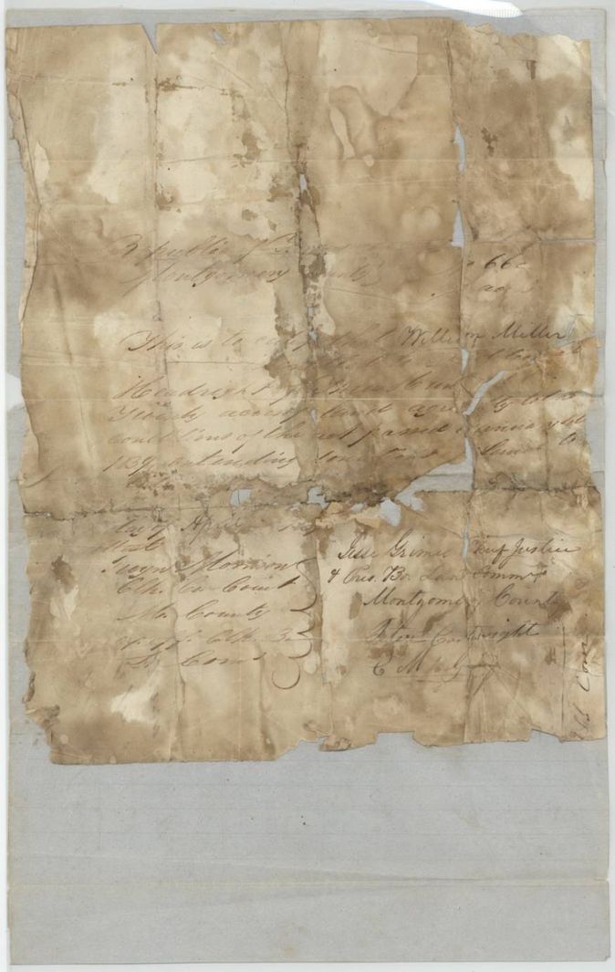
headright 3rd class (conditional certificate of 1839, replaced by unconditional certificate of 1853), No. 66, 320 acres, Conditional (1839): Jesse Grimes, Chief Justice and ex officio President of the Board of Land Commissioners, Montgomery County; Robert Cartwright(?); attested by Jno. Morrison(?), Clerk of the County Court. Unconditional (1853): W. Simonton(?), Chief Justice; Geo. Dean; L. A. Griffith; Jesse Womack, attested by Appleton Gay, Clerk and ex officio clerk of the Board, Montgomery County, 1853-01-10 (conditional dated April 1839).
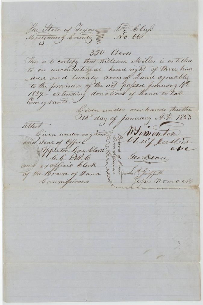
Entitled to an unconditional headright of 320 acres under the act of 4 January 1839 extending donations of land to late emigrants
The survey
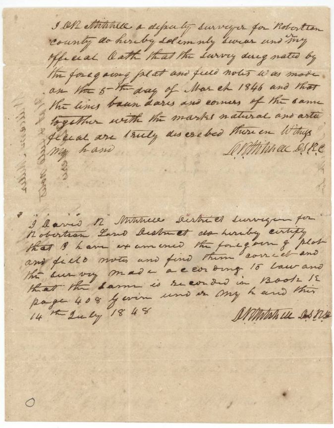
1846-03-05 (examined 1848-07-14), David R. Mitchell, Deputy Surveyor (later District Surveyor), Robertson Land District.
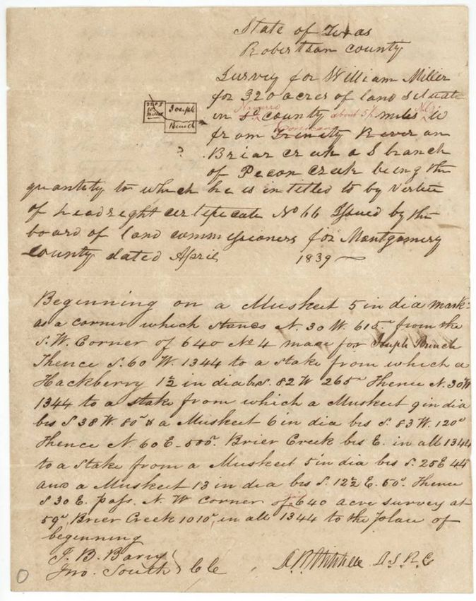
Robertson County at the time, later Navarro County: on Briar Creek, a S. branch of Pecan Creek; the original call 'about 5 1/2(?) miles W(?) from Trinity River' has 'Trinity River' struck and red-ink 'Navarro', 'N.E.(?)' and 'Corsicana' written in
Chain carriers: J. B. Barry, Jno. South.
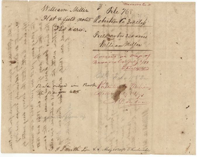
Book E (?), page 408
The patent
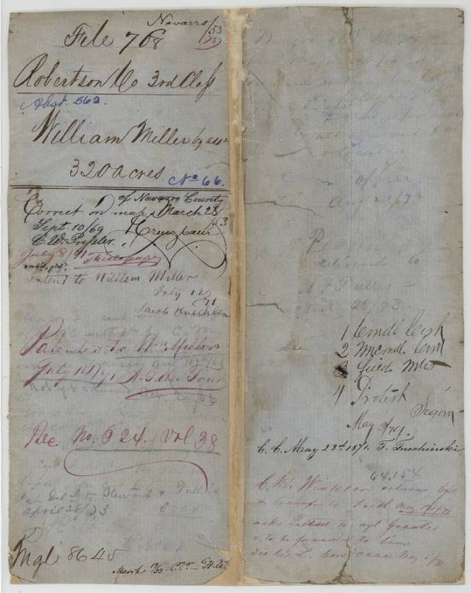
14 Jul 1871, No. 624, Vol. 38, to William Miller (by assignee, per jacket), delivered to 'delivered to A. J. Fuller(?) April 28/73'.
Also in the file
- The survey (1846) was made on the conditional certificate seven years before the unconditional certificate was issued (1853), and the patent only followed in 1871.
- Whether William Miller conveyed to John Faith is never shown; W. P. deNormandie's 1859 protest for Faith's heirs asked the Land Office to withhold the patent until a transfer from Miller to Faith was filed, and the jacket notes C. M. Winkler returned the 'cert. & transfer to Faith' in May 1871 asking that the patent go to the assignee's agent. The same deNormandie/Faith claim appears in the Folsom file (abstract 280).
- The jacket calls the grantee 'William Miller by assee' while the patent was issued in his own name (index: Miller, William).
- The unconditional certificate heads itself '2nd Class' in the text but the file is filed as Robertson 3rd class.
- Survey calls the county Robertson; later red-ink additions place it in Navarro County near Corsicana.
- Index says certificate 66, patent 14 Jul 1871, No. 624 Vol. 38: matches.
Timeline
- Apr 1839Montgomery County Board of Land Commissioners issues conditional certificate No. 66 to William Miller (reading uncertain)
- 5 Mar 1846David R. Mitchell surveys 320 acres for William Miller on Briar Creek
- 14 Jul 1848Mitchell, as District Surveyor, certifies the field notes, recorded Book E(?) p. 408
- 10 Jan 1853Unconditional certificate No. 66 issued at Montgomery
- 10 Feb 1859W. P. deNormandie asks the Land Office to withhold the patent for the heirs of John Faith
- 1 May 1871C. M. Winkler returns certificate and transfer to Faith, asks that the patent go to the assignee's agent
- 8 Jul 1871Marked correct on the map of Navarro County
- 14 Jul 1871Patent No. 624 Vol. 38 to William Miller
- 28 Apr 1873Patent delivered (jacket note, name uncertain)
The papers in the file
Every page of the Land Office file, in the order the Land Office keeps them (10 pages). Tap a page to see it larger.
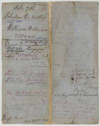 File jacketFile jacket for William Miller's 320 acres, Robertson 3rd class, patented 14 July 1871, No. 624 Vol. 38, with Winkler's May 1871 note about the Faith transfer.General Land Office, file 768, page 1 · in the scan
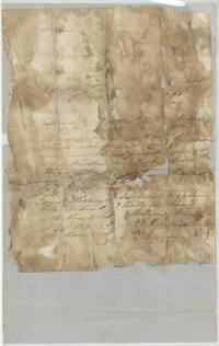 CertificateBadly stained Montgomery County conditional certificate No. 66 for William Miller, signed by Jesse Grimes as Chief Justice, April 1839.General Land Office, file 768, page 2 · in the scan
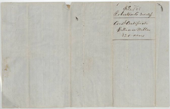
 WrapperWrapper of the conditional certificate, 'Cond. Certificate William Miller 320 acres', file 768.General Land Office, file 768, page 3 · in the scan
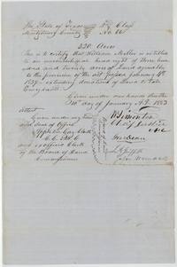 CertificateMontgomery County unconditional headright certificate No. 66 for 320 acres to William Miller, 10 January 1853.General Land Office, file 768, page 4 · in the scan
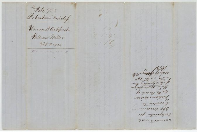
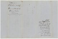 WrapperWrapper for the unconditional certificate, marked returned 12 May 1871, with the 1853 grant note upside down.General Land Office, file 768, page 5 · in the scan
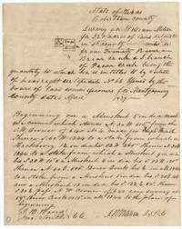 Field notesDavid R. Mitchell's field notes and plat for William Miller's 320 acres on Briar Creek, next to Joseph Bunch's 640.General Land Office, file 768, page 6 · in the scan
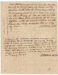 Surveyor's certificateMitchell swears the survey was made 5 March 1846 and as District Surveyor examines it correct on 14 July 1848.General Land Office, file 768, page 7 · in the scan
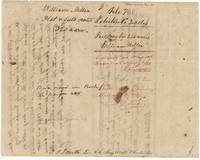 WrapperWrapper for the field notes, correct on the Navarro County map 8 July 1871 and patented to William Miller 14 July 1871.General Land Office, file 768, page 8 · in the scan
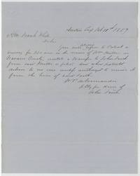 LetterW. P. deNormandie, attorney for the heirs of John Faith, asks Commissioner Frank White to withhold the Miller patent until a transfer to Faith is filed, 10 Feb 1859.General Land Office, file 768, page 9 · in the scan
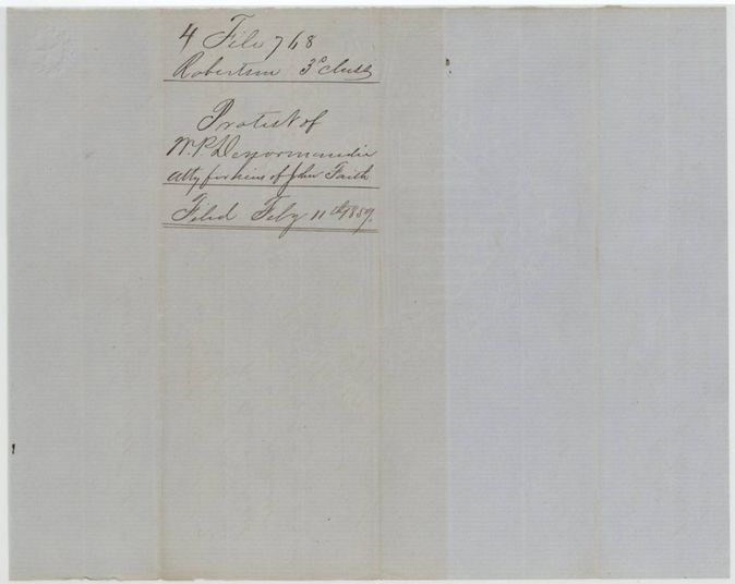
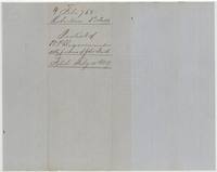 WrapperWrapper for deNormandie's protest for the heirs of John Faith, filed 11 February 1859.General Land Office, file 768, page 10 · in the scan
Scans courtesy of the Texas General Land Office, Austin, from its Land Grant Database.
Neighbouring surveys
Sources
- Texas General Land Office, Land Grant Database: Navarro County, Abstract 562
- The Land Office file, scanned (PDF, at the General Land Office)
- 1924 map: courtesy of the Texas General Land Office, Austin, Map 73249, used under licence. Topo: U.S. Geological Survey, The National Map. Aerial photographs: U.S. Department of Agriculture, National Agriculture Imagery Program, 2012, 2018 and 2022. Survey outlines: Railroad Commission of Texas, Original Texas Land Survey. Grant records and files: Texas General Land Office.