Blackland TX · ← All the original surveys
Jeremiah Crabb Survey, Abstract 166
- Granted to
- Jeremiah Crabb
- Kind of grant
- Headright, third classLand for later settlers, including the colonists of Mercer’s Colony.
- Land Office file
- Robertson 3rd class, file 1075
- Certificate
- No. 197
- Acres
- 320
- Patented to
- R. N. White
- Patent
- 16 Sep 1854 · No. 529, Vol. 10
Tap a survey to open its page.
What the file shows
Jeremiah Crabb received Mercer's Colony certificate No. 197 for 640 acres at Corsicana in April 1850, then sold half of it to R. N. White, the county clerk, for $35 in December 1851. Deputy surveyor Wm. L. Browning located 320 acres on Briar Creek, northwest of Corsicana, in April 1853, and the patent issued to White in September 1854. A second 320 acres, surveyed on Chambers Creek in 1852 and moved to Hill County, was patented separately in April 1859 (jacket blue ink: to R. N. White, though the black-ink instruction said the original grantee).
The certificate
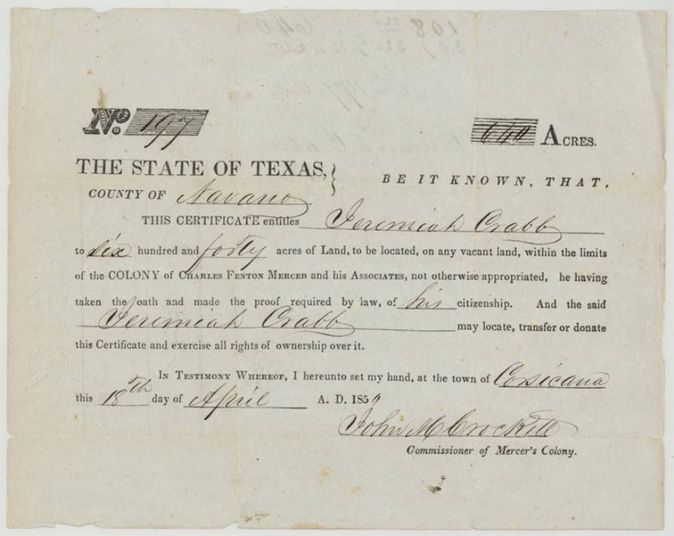
colony certificate, Mercer's Colony (3rd class), No. 197, 640 (320 sold to R. N. White and located in Navarro County here; the other 320 surveyed in Hill County), John M. Crockett, Commissioner of Mercer's Colony, Corsicana, Navarro County, 18 Apr 1850.
Entitles Jeremiah Crabb to 640 acres within the Colony of Charles Fenton Mercer and his Associates, he having taken the oath and made the proof of citizenship required by law
Changes of hand
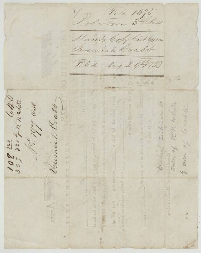
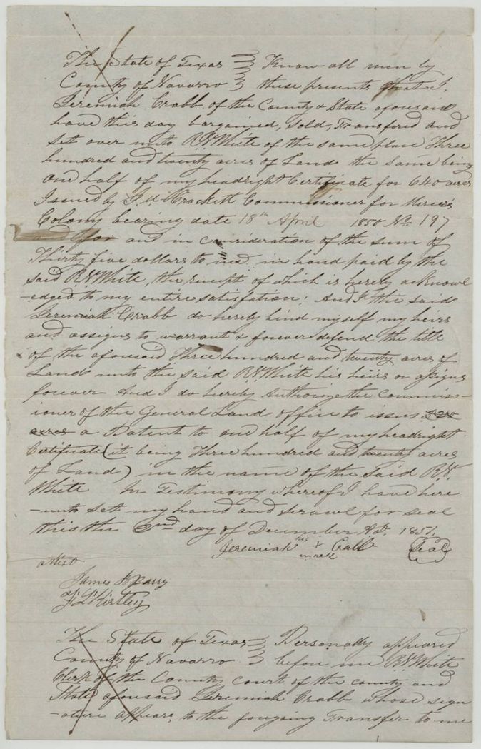
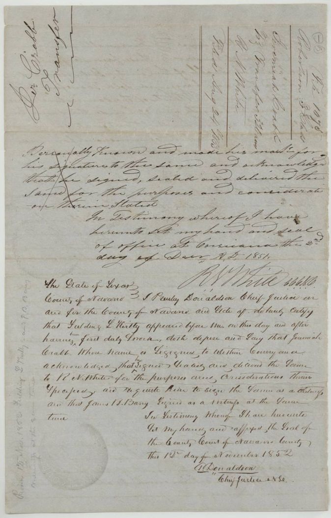
- 2 Dec 1851Jeremiah Crabb (his mark), of Navarro County → R. N. White, of Navarro County, $35, Navarro County, Texas. Sells 320 acres, one half of Crabb's 640-acre certificate No. 197, and authorises the Land Office to patent that half in White's name; filed GLO 24 Aug 1853
The survey
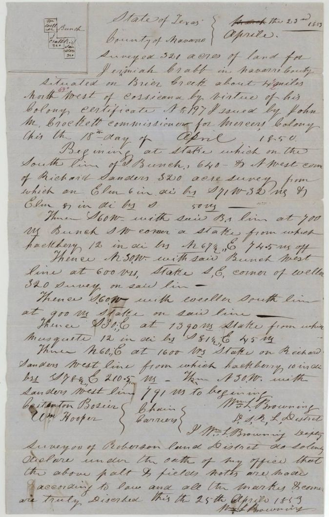
1853-04-23 (declared 1853-04-25), Wm. L. Browning, Deputy Surveyor, Robertson Land District.
Navarro County on Brier Creek, about 4 1/2(?) miles North West of Corsicana (red ink adds 69° over 'North' and a figure 2 at the miles)
Chain carriers: Constanton(?) Bosier, Wm. Hooper.
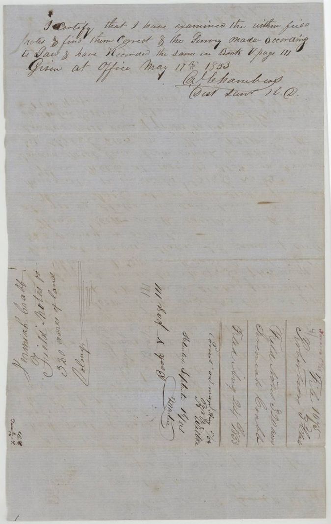
Book V, page 111
The survey
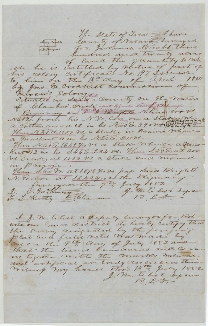
1852-07-09 (certified 1852-07-14), J. M. Eliot, Deputy Surveyor, Robertson Land District (second survey, Hill County; separate abstract 1067).
Originally written Navarro, altered in red ink to Hill County, on the waters of Chambers Creek, about 16 1/2 miles N 40 W of Hillsborough
Chain carriers: J. O. McKinney(?), F. L. Kirtley.
Book V, page 66
The patent
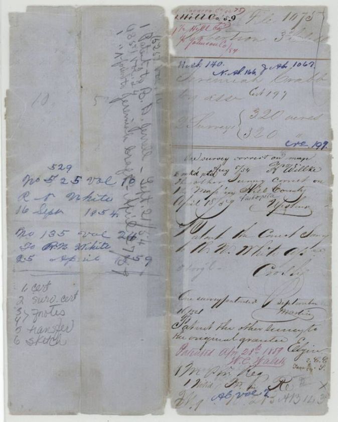
1854-09-16 (this survey); other survey patented 1859-04-25, No. 529, Vol. 10 (jacket first wrote 525); other survey No. 135, Vol. 24, to R. N. White, assignee (abstract 166). For the other (Hill County) survey the jacket's black ink says 'Patent the other survey to the original grantee', but the blue-ink patent entry reads 'No 135 Vol 24 To R. N. White 25 April 1859', delivered to not stated.
Also in the file
- One certificate covers two surveys in two counties: the Navarro County Briar Creek tract (abstract 166) and a Chambers Creek tract that the red-ink edits moved from Navarro to Hill County (abstract 1067).
- Only half of the certificate was assigned to R. N. White (the certificate back says one half subject to White's order, one half to Crabb's). The jacket's black ink says to patent the other survey to the original grantee, yet the blue-ink entry records patent No. 135 Vol. 24 of 25 April 1859 'To R. N. White'.
- R. N. White certified Crabb's signature as County Clerk and also bought the certificate; Crabb signed by mark.
- The transfer is dated 2 Dec 1851 but the witness oath before the Chief Justice is dated 12 Nov 1852(?).
- The patent number on the jacket first reads 525 and is then written over as 529; the index gives 529, Vol. 10, 16 Sep 1854.
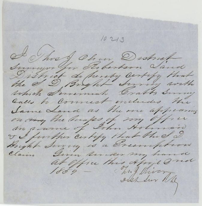
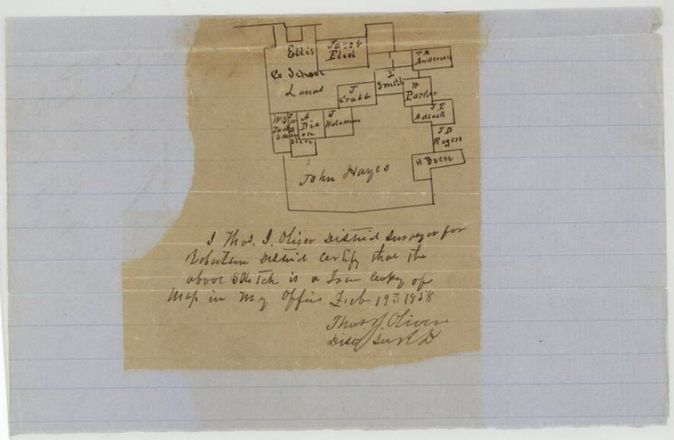
- On 2 Apr 1859 Thos. J. Oliver certified that the S. D. Bright survey, which Crabb's second survey calls to connect with, is a preemption claim covering the same land as one shown in John Holman's(?) name.
Timeline
- 18 Apr 1850Mercer's Colony certificate No. 197 for 640 acres issued to Jeremiah Crabb at Corsicana
- 2 Dec 1851Crabb sells half of the certificate (320 acres) to R. N. White for $35
- 9 Jul 1852J. M. Eliot surveys Crabb's 320 acres on Chambers Creek (later Hill County)
- 23 Apr 1853Wm. L. Browning surveys 320 acres on Briar Creek for Crabb
- 17 May 1853Browning survey examined and recorded, Book V p. 111
- 24 Aug 1853Certificate, transfer and field notes filed in the General Land Office
- 16 Sep 1854Patent No. 529, Vol. 10 to R. N. White, assignee
- 19 Feb 1858Thos. J. Oliver certifies a neighbourhood sketch map
- 2 Apr 1859Oliver certifies the Bright survey is a preemption claim
- 25 Apr 1859Patent No. 135, Vol. 24 on the other (Hill County) survey; blue-ink jacket entry says to R. N. White
The papers in the file
Every page of the Land Office file, in the order the Land Office keeps them (14 pages). Tap a page to see it larger.
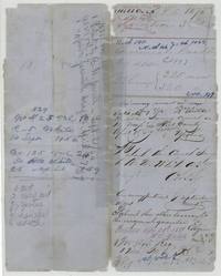 File jacketFile jacket 1075 for Jeremiah Crabb's two 320-acre surveys, with patent notes of September 1854 and April 1859.General Land Office, file 1075, page 1 · in the scan
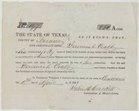 CertificateMercer's Colony certificate No. 197 for 640 acres to Jeremiah Crabb, signed by John M. Crockett at Corsicana.General Land Office, file 1075, page 2 · in the scan
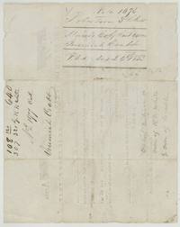 Back of the certificateBack of certificate 197 noting 320 acres to R. N. White and the Land Office filing, 24 August 1853.General Land Office, file 1075, page 3 · in the scan
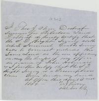 Surveyor's certificateThos. J. Oliver certifies that the S. D. Bright survey Crabb's survey connects with is a preemption claim.General Land Office, file 1075, page 4 · in the scan
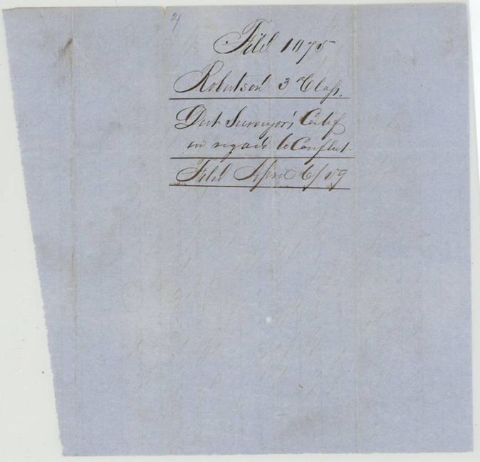
 WrapperWrapper for the deputy surveyor's certificate on the conflict, filed 6 April 1859.General Land Office, file 1075, page 5 · in the scan
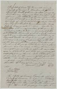 TransferJeremiah Crabb sells 320 acres, half of certificate 197, to R. N. White for $35, 2 December 1851.General Land Office, file 1075, page 6 · in the scan
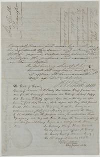 AffidavitCounty clerk's acknowledgement of Crabb's mark and Chief Justice Donaldson's(?) certificate on the witnesses, filed 24 Aug 1853.General Land Office, file 1075, page 7 · in the scan
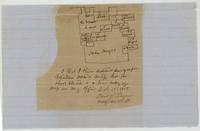 PlatSketch map of neighbouring surveys including Crabb, Smith, Parker and John Hayes, certified a true copy by Thos. J. Oliver.General Land Office, file 1075, page 8 · in the scan
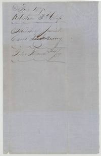 WrapperWrapper labelled sketch of Jeremiah Crabb's survey, filed 24 March 1858.General Land Office, file 1075, page 9 · in the scan
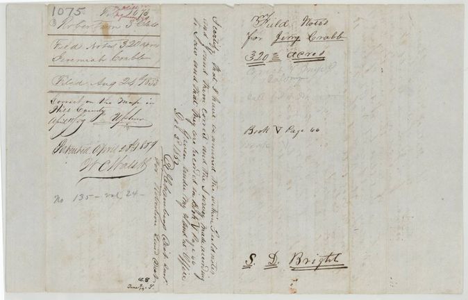
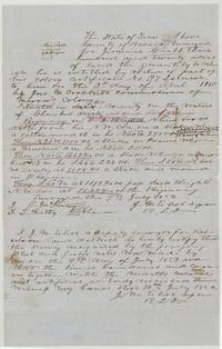 Field notesField notes of 320 acres for Jeremiah Crabb on Chambers Creek by J. M. Eliot, 9 July 1852, later placed in Hill County.General Land Office, file 1075, page 10 · in the scan
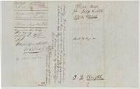 Surveyor's certificateBack of the Eliot field notes: Chambers records them in Book V page 66; correct on Hill County map April 1859; patented 25 April 1859, No. 135 Vol. 24.General Land Office, file 1075, page 11 · in the scan
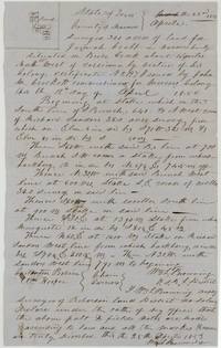 Field notesWm. L. Browning's field notes and plat of 320 acres on Brier Creek northwest of Corsicana for Jeremiah Crabb, 23 April 1853.General Land Office, file 1075, page 12 · in the scan
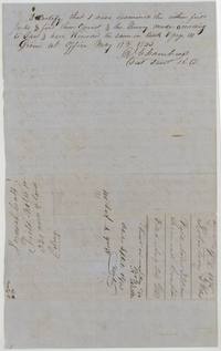 Surveyor's certificateBack of the Browning notes: C. B. Chambers records them in Book V page 111; correct on map Aug 1854; patented September 16, 1854.General Land Office, file 1075, page 13 · in the scan
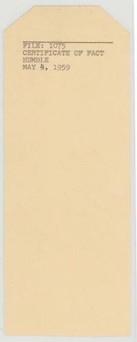 Other papersLand Office index card for file 1075, a certificate of fact dated May 1959.General Land Office, file 1075, page 14 · in the scan
Scans courtesy of the Texas General Land Office, Austin, from its Land Grant Database.
Neighbouring surveys
Sources
- Texas General Land Office, Land Grant Database: Navarro County, Abstract 166
- The Land Office file, scanned (PDF, at the General Land Office)
- 1924 map: courtesy of the Texas General Land Office, Austin, Map 73249, used under licence. Topo: U.S. Geological Survey, The National Map. Aerial photographs: U.S. Department of Agriculture, National Agriculture Imagery Program, 2012, 2018 and 2022. Survey outlines: Railroad Commission of Texas, Original Texas Land Survey. Grant records and files: Texas General Land Office.