Blackland TX · ← All the original surveys
Hickman M. Shults Survey, Abstract 756
- Granted to
- Hickman M. Shults
- Kind of grant
- Headright, third classLand for later settlers, including the colonists of Mercer’s Colony.
- Land Office file
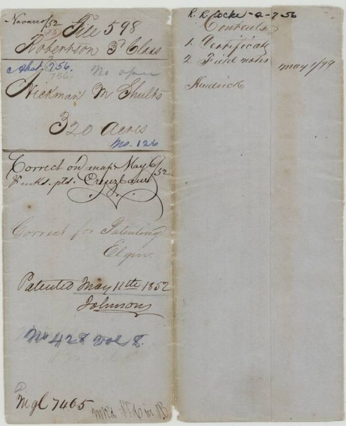
- Robertson 3rd class, file 598
- Certificate
- No. 126
- Acres
- 320
- Patented to
- Hickman M. Shults
- Patent
- 11 May 1852 · No. 428, Vol. 8
Tap a survey to open its page.
What the file shows
Hickman M. Shults held Mercer's Colony certificate No. 126 for 640 acres, issued at Corsicana on 17 April 1850. D. R. Mitchell surveyed 320 acres of it on Grape Creek in May 1850, and the patent issued to Shults on 11 May 1852.
The certificate
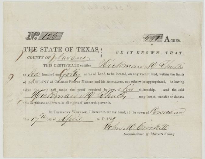
Mercer's Colony certificate (3rd class), No. 126, 640 (320 located in this file), John M. Crockett, Commissioner of Mercer's Colony, Corsicana, 17 Apr 1850.
Entitles Hickman M. Shults to six hundred and forty acres to be located on vacant land within the limits of the colony of Charles Fenton Mercer and his Associates, he having taken the oath and made the proof required by law of his citizenship
The survey
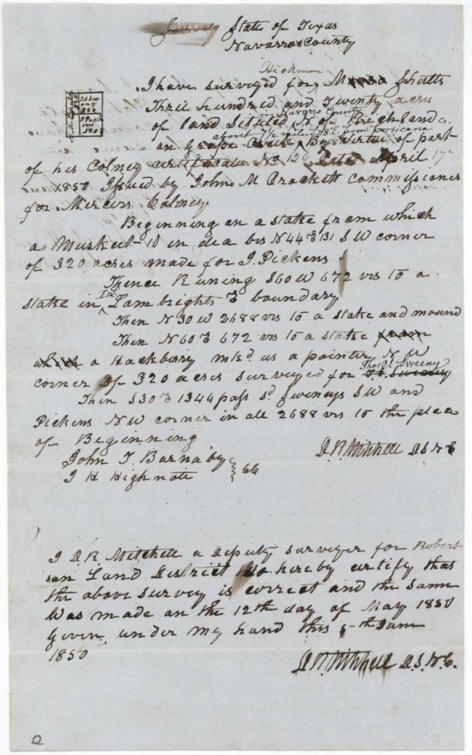
1850-05-12 (Mitchell's certificate given 5 June 1850), D. R. Mitchell, Deputy Surveyor, Robertson Land District.
Navarro County (inserted), north of Richland [Creek] and on Grape Creek; inserted above the line: about 7 1/2 miles S 28° E from Corsicana
Chain carriers: John T. Barnaby, J. H. Highnote(?).
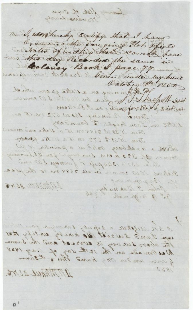
Colony Book I, page 77
The patent
11 May 1852, No. 428, Vol. 8, to Hickman M. Shults, delivered to not stated.
Also in the file
- Certificate is for 640 acres but only 320 are located in this file; the other half would be in another file.
- Surveyor's name on the wrapper is written 'H. Monro Shults' and the field notes first began 'Monro'(?) before being changed to Hickman, so first-name spelling varies.
- Certificate printed form is dated 17 April 1850 and field notes call it 'No. 126, dated April 17th 1850'.
- The field-notes certificate is dated 5 June 1850 for a survey of 12 May 1850, and the district surveyor did not examine and record it until 8 October 1850.
Timeline
- 17 Apr 1850John M. Crockett issues Mercer's Colony certificate No. 126 for 640 acres at Corsicana
- 12 May 1850D. R. Mitchell surveys 320 acres on Grape Creek
- 5 Jun 1850Mitchell certifies the survey
- 8 Oct 1850District surveyor examines and records the survey, Colony Book I p. 77
- 6 May 1852Checked correct on map
- 11 May 1852Patent No. 428 Vol. 8 to Hickman M. Shults
The papers in the file
Every page of the Land Office file, in the order the Land Office keeps them (6 pages). Tap a page to see it larger.
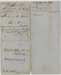 File jacketFile jacket 598, Robertson 3rd Class, abstract 756, Hickman M. Shults 320 acres, patented 11 May 1852 as No. 428 Vol. 8.General Land Office, file 598, page 1 · in the scan
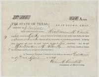 CertificateMercer's Colony certificate No. 126 entitling Hickman M. Shults to 640 acres, signed by John M. Crockett at Corsicana, 17 April 1850.General Land Office, file 598, page 2 · in the scan
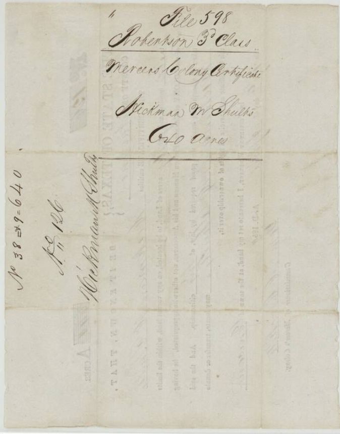
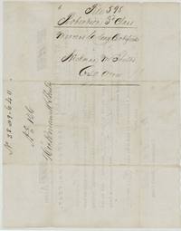 Back of the certificateBack of the certificate with docket for Hickman M. Shults, Mercer's Colony certificate, 640 acres, file 598.General Land Office, file 598, page 3 · in the scan
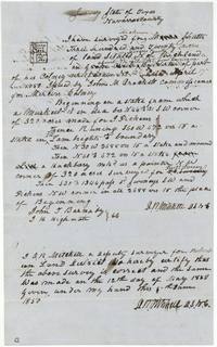 Field notesField notes for 320 acres on Grape Creek about 7 1/2 miles S 28 E of Corsicana, surveyed 12 May 1850 by D. R. Mitchell, chain carriers Barnaby and Highnote(?).General Land Office, file 598, page 4 · in the scan
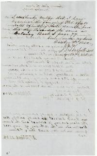 Surveyor's certificateDistrict surveyor J. P. Philpott certifies the plat and field notes correct and recorded in Colony Book I page 77, 8 October 1850.General Land Office, file 598, page 5 · in the scan
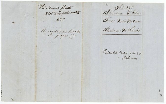
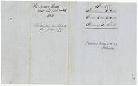 WrapperWrapper for the plat and field notes of 320 acres, recorded in Book I page 77, marked patented May 11, 1852.General Land Office, file 598, page 6 · in the scan
Scans courtesy of the Texas General Land Office, Austin, from its Land Grant Database.
Neighbouring surveys
Sources
- Texas General Land Office, Land Grant Database: Navarro County, Abstract 756
- The Land Office file, scanned (PDF, at the General Land Office)
- 1924 map: courtesy of the Texas General Land Office, Austin, Map 73249, used under licence. Topo: U.S. Geological Survey, The National Map. Aerial photographs: U.S. Department of Agriculture, National Agriculture Imagery Program, 2012, 2018 and 2022. Survey outlines: Railroad Commission of Texas, Original Texas Land Survey. Grant records and files: Texas General Land Office.