Blackland TX · ← All the original surveys
William Haggard Survey, Abstract 370
- Granted to
- William Haggard
- Kind of grant
- Headright, third classLand for later settlers, including the colonists of Mercer’s Colony.
- Land Office file
- Robertson 3rd class, file 535
- Certificate
- No. 134
- Acres
- 640
- Patented to
- Peter C. Ragsdale
- Patent
- 09 Mar 1852 · No. 298, Vol. 8
Tap a survey to open its page.
What the file shows
William Haggard (written Hoggard on the papers) received Mercer's Colony certificate No. 134 for 640 acres at Corsicana in April 1850 and sold it a month later to Jacob J. Gholson for $100. Deputy surveyor David R. Mitchell located it in June 1850 about 2 1/2 miles north-west of Corsicana, south of Brier Creek. Gholson sold the certificate on to Peter C. Ragsdale of Cherokee County for $60 in October 1851, and the patent issued to Ragsdale on 9 March 1852.
The certificate
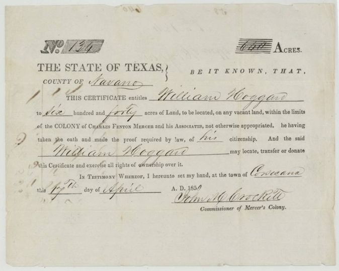
Mercer's Colony certificate (3rd class, Robertson), No. 134, 640 acres, John M. Crockett, Commissioner of Mercer's Colony, Corsicana, 17 Apr 1850.
Having taken the oath and made the proof required by law of his citizenship, William Hoggard(?) [Haggard] is entitled to 640 acres to be located on any vacant land within the limits of Charles Fenton Mercer's colony
Changes of hand
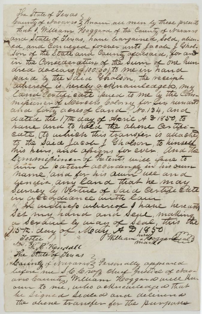
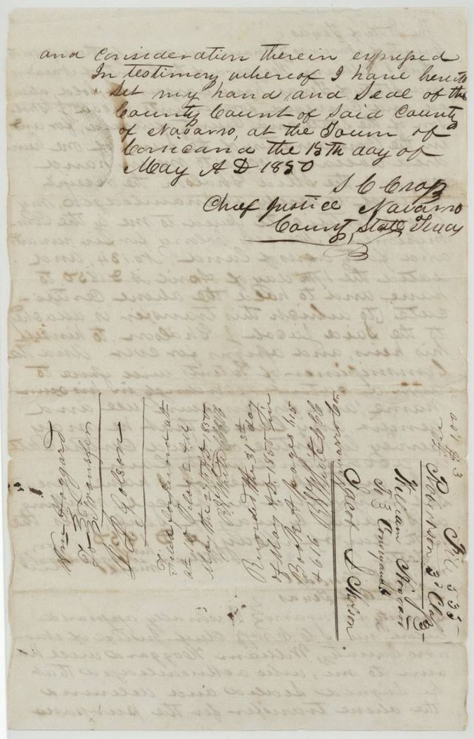
- 15 May 1850William Hoggard (Haggard), by his mark, of Navarro County → Jacob J. Gholson, of Navarro County, $100, Navarro County, Texas. Sells Certificate No. 134 and the right to a patent in Gholson's own name; filed for record 25(?) May 1850, recorded 31 May(?) 1850, Book A, pages 615 and 616 (backs of the pages are hard to read)
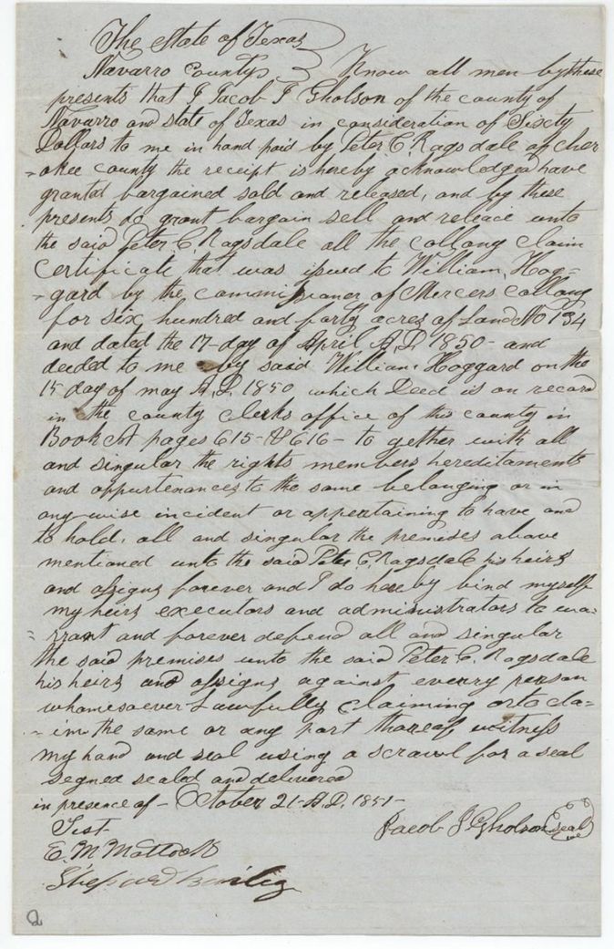
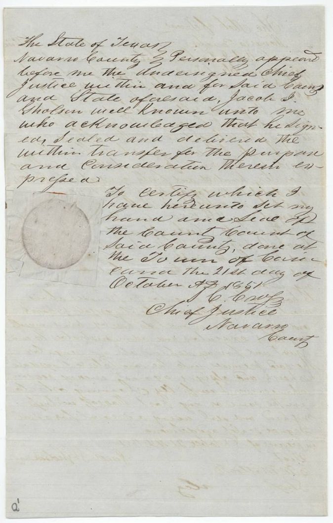
- 21 Oct 1851Jacob J. Gholson, of Navarro County → Peter C. Ragsdale, of Cherokee County, $60, Navarro County, Texas. Sells all the colony claim certificate issued to William Hoggard, No. 134, 640 acres, dated 17 April 1850 and deeded to Gholson 15 May 1850, recorded Book A(?) pages 615-616
The survey
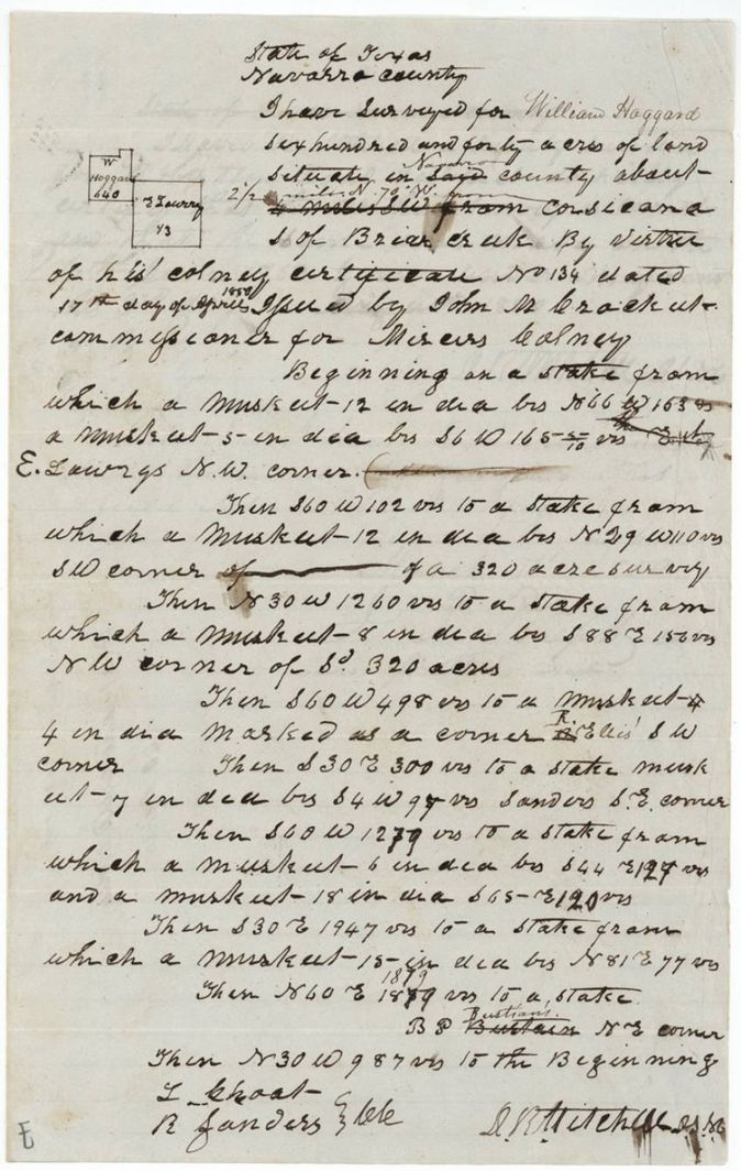
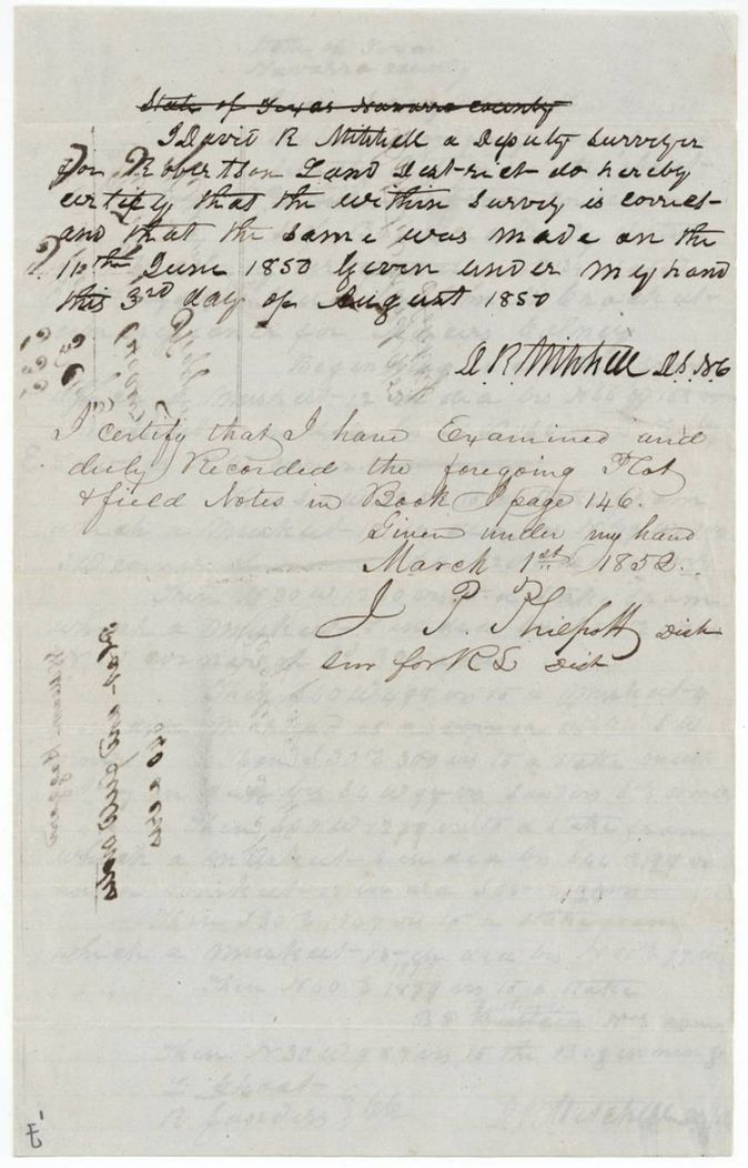
1850-06-10 (certified 1850-08-03), David R. Mitchell, Deputy Surveyor, Robertson Land District.
Navarro County, about 2 1/2 miles N 70 W from Corsicana (written over a struck-out earlier distance and bearing), south of Brier Creek
Chain carriers: I. Choat, R. Sanders.
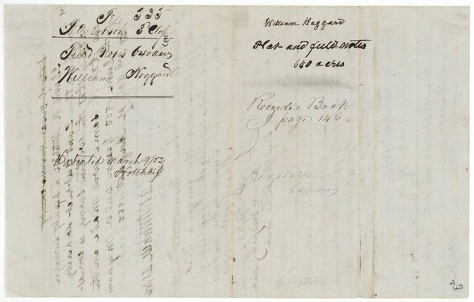
Book I, page 146
The patent
9 Mar 1852, No. 298, Vol. 8, to Peter C. Ragsdale, assignee, delivered to Ragsdale, by express(?) (field-notes wrapper: 'Ragsdale Express').
Also in the file
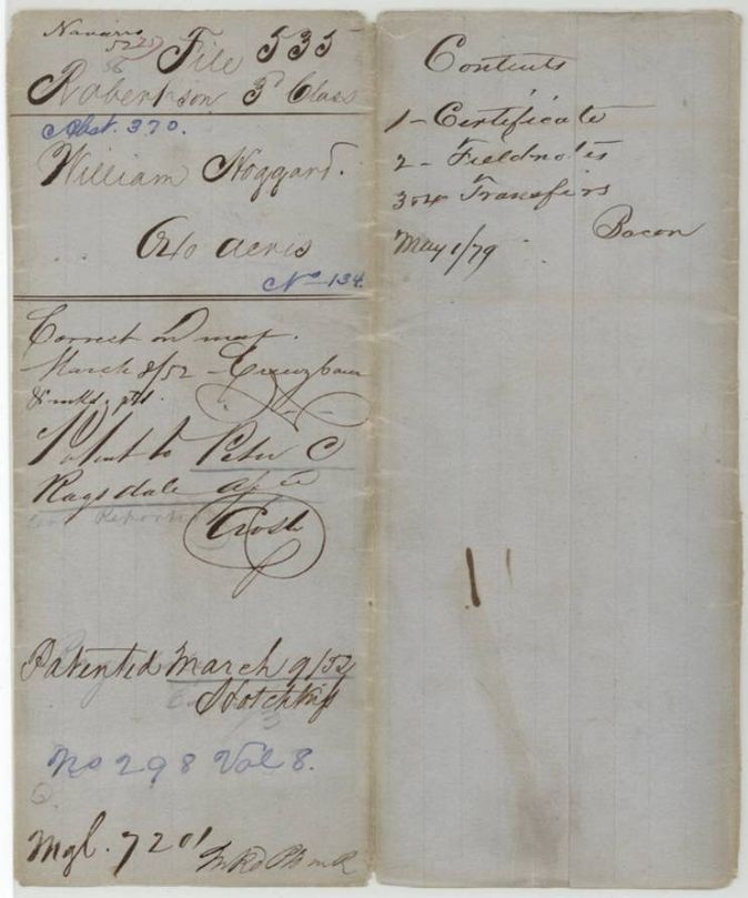
- Index says patent 09 Mar 1852, No. 298, Vol. 8, 640 acres, to Peter C. Ragsdale; the jacket agrees.
- The grantee's surname is spelled Hoggard on the certificate, transfers and jacket and Haggard on the field notes (the Land Office index uses Haggard).
- Hoggard signed the sale to Gholson by his mark.
- The certificate was bought twice in 17 months: Hoggard to Gholson for $100 on 15 May 1850 (one month after issue), then Gholson to Ragsdale for $60 in October 1851.
- The deed citing 'Book A pages 615 and 616' records the first transfer; the field notes were not recorded until 1 March 1852, long after the 3 August 1850 certificate.
- In the field notes the distance was altered: an earlier phrase (about 4(?) miles S W(?) from Corsicana) is struck through and '2 1/2 miles N 70 W from' written above; 'Navarro' is written over 'said' county.
Timeline
- 17 Apr 1850Mercer's Colony certificate No. 134 for 640 acres issued to William Hoggard at Corsicana
- 15 May 1850Hoggard sells the certificate to Jacob J. Gholson for $100
- 10 Jun 1850David R. Mitchell surveys 640 acres south of Brier Creek
- 3 Aug 1850Mitchell certifies the survey
- 21 Oct 1851Gholson sells the certificate to Peter C. Ragsdale of Cherokee County for $60
- 1 Mar 1852District surveyor examines and records the field notes, Book I page 146
- 8 Mar 1852Checked correct on the map
- 9 Mar 1852Patent No. 298 Vol. 8 to Peter C. Ragsdale
The papers in the file
Every page of the Land Office file, in the order the Land Office keeps them (11 pages). Tap a page to see it larger.
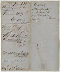 File jacketJacket and contents sheet for file 535, William Hoggard, 640 acres, patent to Peter C. Ragsdale, 9 March 1852, No. 298 Vol. 8.General Land Office, file 535, page 1 · in the scan
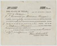 CertificateMercer's Colony certificate No. 134 for 640 acres to William Hoggard, signed by Commissioner John M. Crockett at Corsicana.General Land Office, file 535, page 2 · in the scan
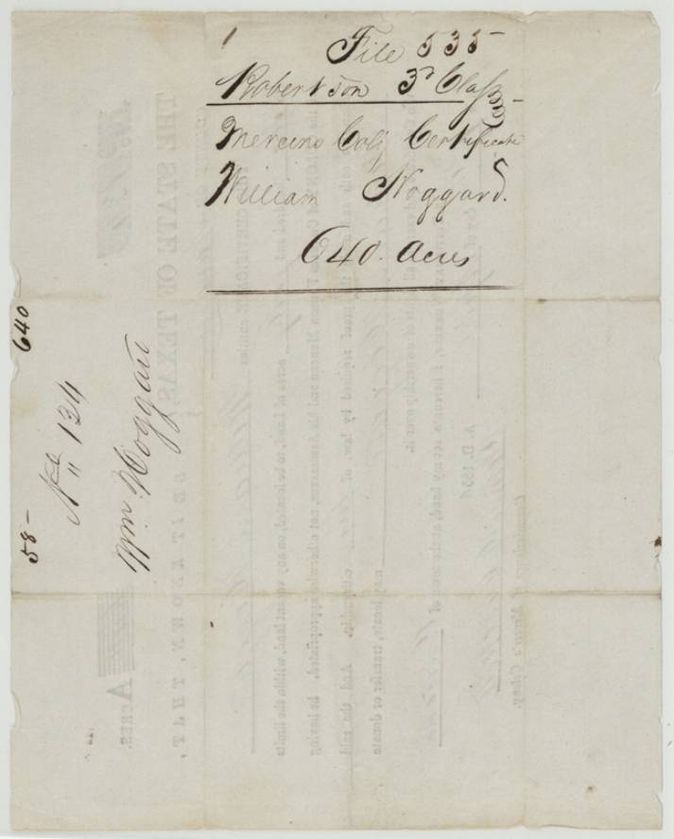
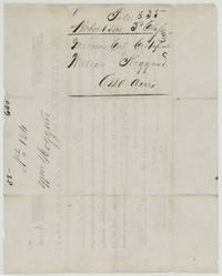 Back of the certificateBack of the certificate, endorsed file 535 Mercer's Colony certificate, William Hoggard, 640 acres.General Land Office, file 535, page 3 · in the scan
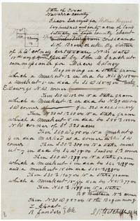 Field notesDavid R. Mitchell's field notes and plat for 640 acres 2 1/2 miles northwest of Corsicana, south of Brier Creek.General Land Office, file 535, page 4 · in the scan
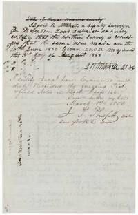 Surveyor's certificateMitchell's certificate of the survey and the district surveyor's examination recorded in Book I page 146, 1 March 1852.General Land Office, file 535, page 5 · in the scan
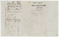 WrapperBack of the field notes: 'Plat and field notes, 640 acres', recorded Book I page 146, patented 9 March 1852.General Land Office, file 535, page 6 · in the scan
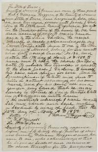 TransferWilliam Hoggard sells Certificate No. 134 to Jacob J. Gholson for $100, 15 May 1850.General Land Office, file 535, page 7 · in the scan
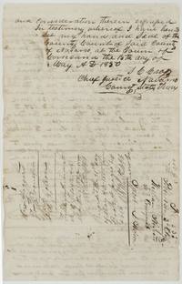 TransferAcknowledgment before Chief Justice S. C. Cross and the recording stamps, with the wrapper naming Gholson.General Land Office, file 535, page 8 · in the scan
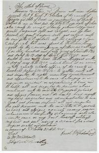 TransferJacob J. Gholson sells the Hoggard certificate to Peter C. Ragsdale of Cherokee County for $60, 21 October 1851.General Land Office, file 535, page 9 · in the scan
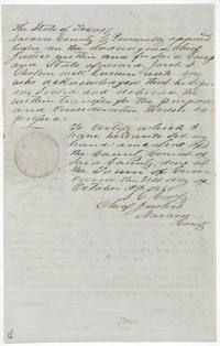 TransferAcknowledgment of the Gholson to Ragsdale transfer before Chief Justice S. C. Cross with a seal, 21 October 1851.General Land Office, file 535, page 10 · in the scan
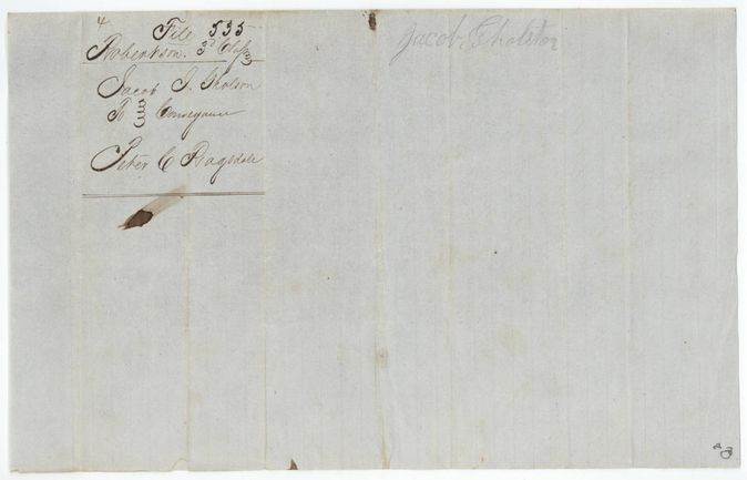
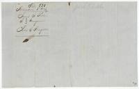 WrapperBack of the transfer, endorsed 'Jacob J. Gholson to Conveyance Peter C. Ragsdale'.General Land Office, file 535, page 11 · in the scan
Scans courtesy of the Texas General Land Office, Austin, from its Land Grant Database.
Neighbouring surveys
Sources
- Texas General Land Office, Land Grant Database: Navarro County, Abstract 370
- The Land Office file, scanned (PDF, at the General Land Office)
- 1924 map: courtesy of the Texas General Land Office, Austin, Map 73249, used under licence. Topo: U.S. Geological Survey, The National Map. Aerial photographs: U.S. Department of Agriculture, National Agriculture Imagery Program, 2012, 2018 and 2022. Survey outlines: Railroad Commission of Texas, Original Texas Land Survey. Grant records and files: Texas General Land Office.