Blackland TX · ← All the original surveys
Jonas Dearman Survey, Abstract 212
- Granted to
- Jonas Dearman
- Kind of grant
- Headright, third classLand for later settlers, including the colonists of Mercer’s Colony.
- Land Office file
- Robertson 3rd class, file 1175
- Certificate
- No. 376
- Acres
- 319.60
- Patented to
- Jonas Dearman
- Patent
- 15 Jul 1874 · No. 157, Vol. 42
Tap a survey to open its page.
What the file shows
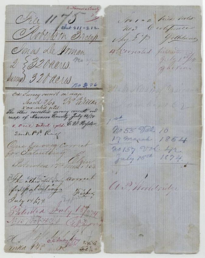
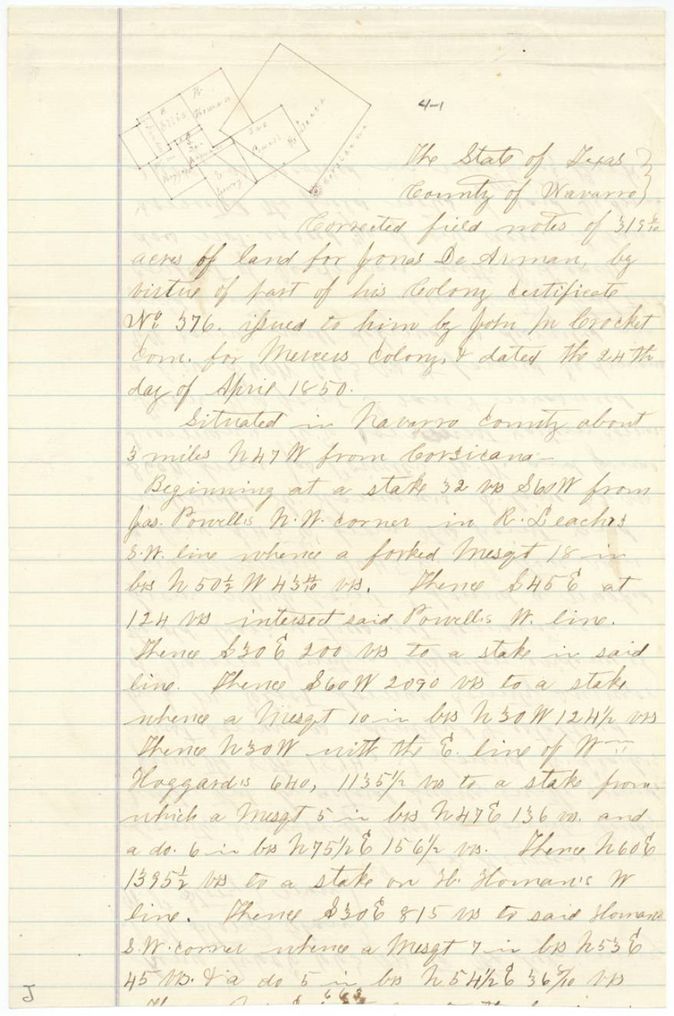
Jonas DeArman held a 640-acre Mercer's Colony certificate issued at Buffalo in April 1850. Deputy surveyor Wm. L. Browning laid off two 320-acre tracts for him near Corsicana, in November 1850 and January 1851. The first was patented in March 1854; the second conflicted with other surveys and was cancelled, then re-run on the ground by county surveyor A. S. Howren in June 1874 as 319.6 acres and patented in July 1874.
The certificate
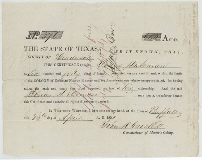
headright, Mercer's Colony certificate (jacket calls it 3rd class), No. 376, 640 (split into two 320-acre surveys in this file), John M. Crockett, Commissioner of Mercer's Colony, Buffalo, Henderson County, 24 Apr 1850.
Printed certificate entitling Jonas DeArman, having taken the oath and made proof of his citizenship, to 640 acres within the colony of Charles Fenton Mercer and his Associates; may locate, transfer or donate it. The 640 is stamped and has a pen figure beside it.
The survey
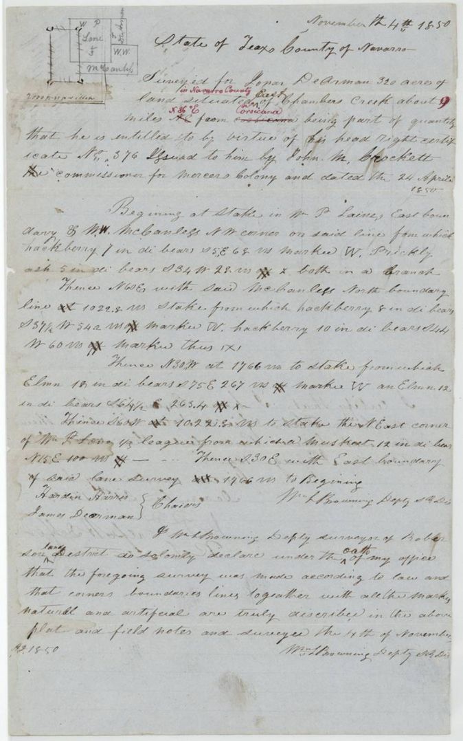
4 Nov 1850, Wm. L. Browning, Deputy Surveyor, Robertson Land District.
Navarro County, east of Chambers Creek about 9 miles N 86 E(?) from Corsicana (red-ink corrections)
Chain carriers: Hardin Harris, James Dearman.
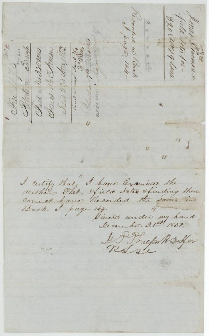
Book I, page 164
The survey
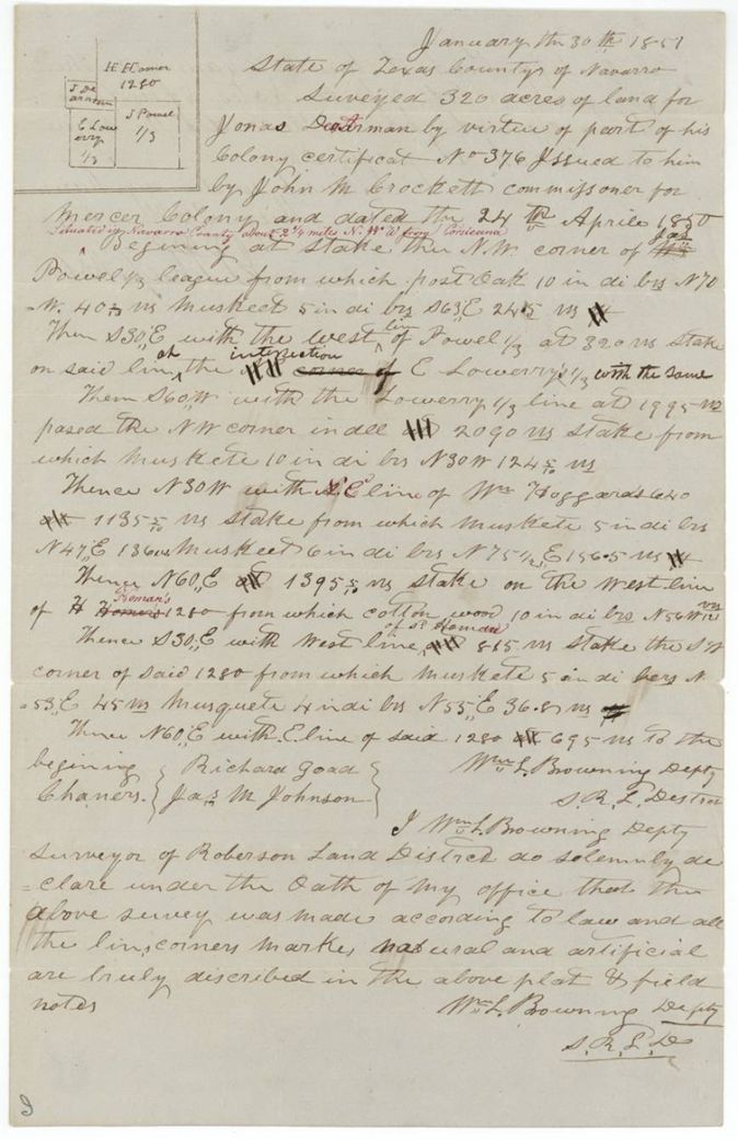
30 Jan 1851, Wm. L. Browning, Deputy Surveyor, Robertson Land District.
Navarro County, about 2 1/4 miles N W from Corsicana (red-ink insertion)
Chain carriers: Richard Goad, Jas. M. Johnson.
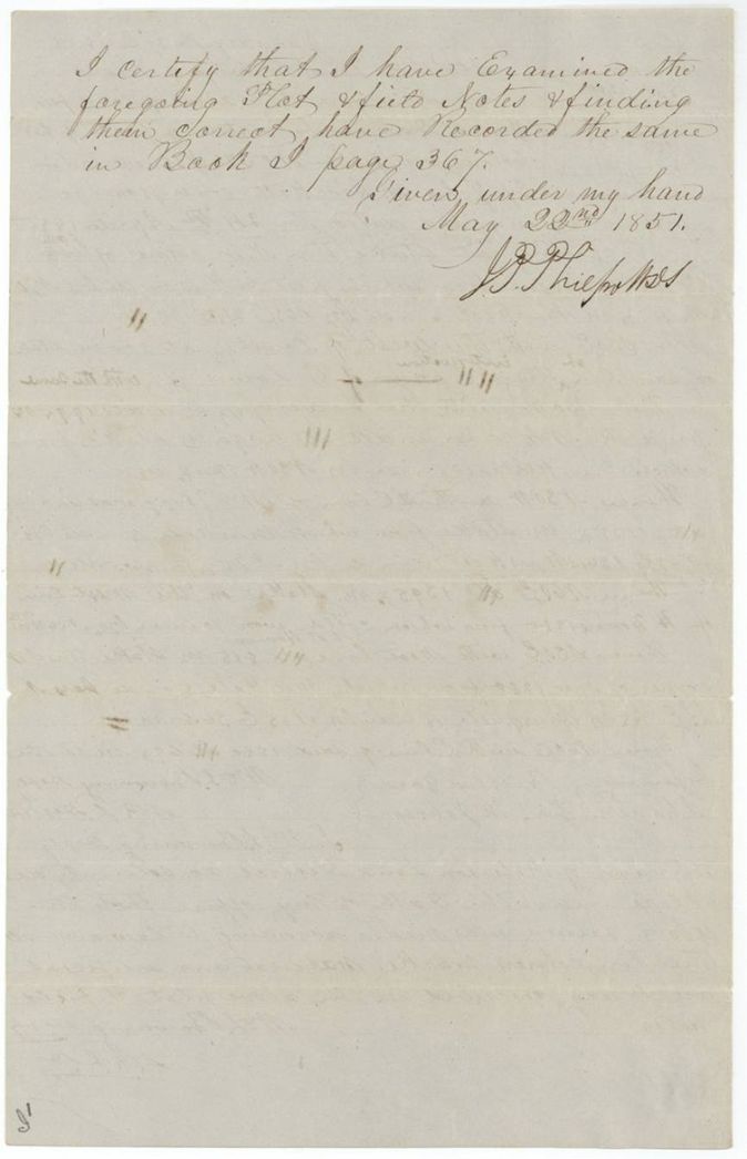
Book I, page 367
The survey
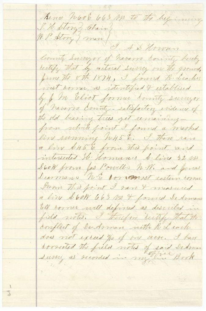
1874-06-12 (actual survey on the ground 1874-06-08), A. S. Howren, County Surveyor of Navarro County.
Navarro County, about 3 miles N 47 W from Corsicana
Chain carriers: T. H. Story, W. P. Story.
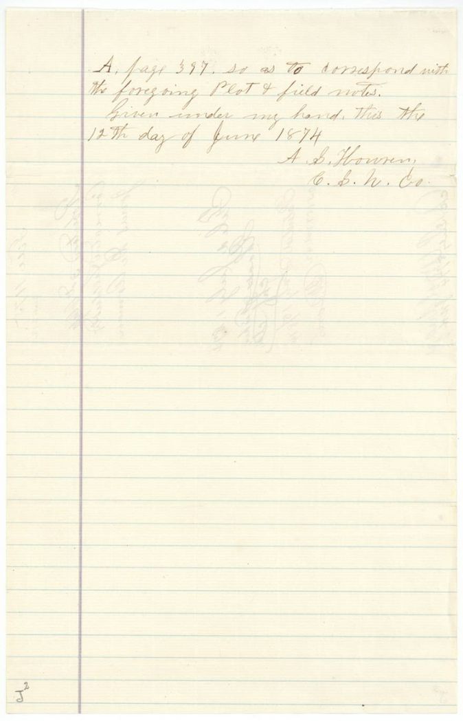
Book A, page 397 (county surveyor's records)
The patent
1854-03-17 (Abst. 211) and 1874-07-15 (Abst. 212), No. 55, Vol. 10 (1854) and No. 157, Vol. 42 (1874), to Jonas DeArman (both), delivered to not stated.
Also in the file
- One 640-acre colony certificate was used for two 320-acre surveys, patented 20 years apart.
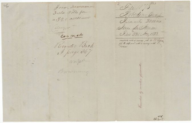
- The second survey (Jan 1851) conflicted with a survey patented to S. B. Roman(?) and one marked E. Dickson, and was cancelled by amended field notes; the corrected 319.6-acre field notes of 1874 were patented as Abst. 212.
- The certificate is issued in Henderson County but the wrapper and survey were made in Navarro.
- Jacket lists the certificate as 3rd class Robertson, but the document itself is a Mercer's Colony certificate.
- Index matches: 1854 patent No. 55 Vol. 10 (320 acres); 1874 patent No. 157 Vol. 42 (319.60 acres).
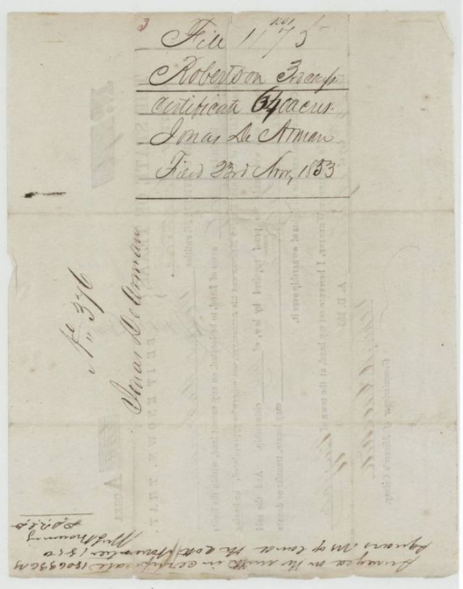
- Browning's note on the certificate back puts the first 320-acre survey on '20th(?) November 1850', against 4 November in the field notes.
Timeline
- 24 Apr 1850Mercer's Colony certificate No. 376 for 640 acres issued at Buffalo to Jonas DeArman
- 4 Nov 1850Wm. L. Browning surveys first 320 acres near Chambers Creek
- 21 Dec 1850First survey examined and recorded, Book I p. 164
- 30 Jan 1851Browning surveys second 320 acres, about 2 1/4 miles NW of Corsicana
- 22 May 1851Second survey examined and recorded, Book I p. 367
- 23 Nov 1853Certificate and both field notes filed in the General Land Office
- 3 Mar 1854First survey checked correct on map
- 17 Mar 1854Patent No. 55, Vol. 10 to Jonas DeArman (Abst. 211)
- 8 Jun 1874A. S. Howren re-runs the lines on the ground
- 12 Jun 1874Howren certifies corrected field notes of 319 6/10 acres
- 1 Jul 1874Corrected field notes filed in the General Land Office
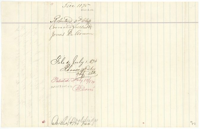
- 15 Jul 1874Patent No. 157, Vol. 42 to Jonas DeArman (Abst. 212)
The papers in the file
Every page of the Land Office file, in the order the Land Office keeps them (12 pages). Tap a page to see it larger.
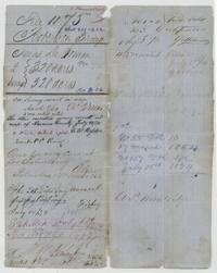 File jacketFile jacket for Jonas DeArman's two 320-acre surveys, noting patents of 17 March 1854 (No. 55, Vol. 10) and 15 July 1874 (No. 157, Vol. 42).General Land Office, file 1175, page 1 · in the scan
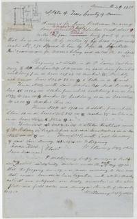 Field notesField notes and plat of 320 acres for Jonas DeArman near Chambers Creek by Wm. L. Browning, 4 November 1850, chain carriers Hardin Harris and James Dearman.General Land Office, file 1175, page 2 · in the scan
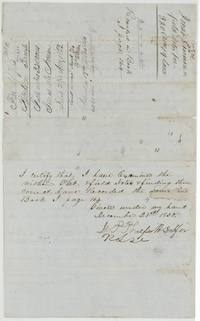 Field notesBack of the first field notes with wrapper and the district surveyor's certificate of 21 December 1850 recording them in Book I page 164.General Land Office, file 1175, page 3 · in the scan
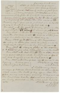 Field notesField notes and plat of a second 320 acres for Jonas DeArman, surveyed by Browning on 30 January 1851 about 2 1/4 miles NW of Corsicana.General Land Office, file 1175, page 4 · in the scan
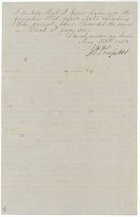 Surveyor's certificateDistrict surveyor's certificate of 22 May 1851 recording the second field notes in Book I page 367.General Land Office, file 1175, page 5 · in the scan
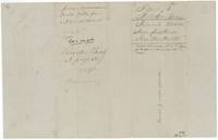 WrapperWrapper no. 2 for the second field notes, marked conflict with other surveys and cancelled by amended field notes.General Land Office, file 1175, page 6 · in the scan
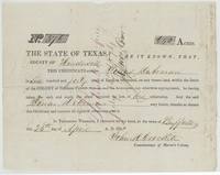 CertificatePrinted Mercer's Colony certificate No. 376 issued at Buffalo to Jonas DeArman for 640 acres by John M. Crockett, 24 April 1850.General Land Office, file 1175, page 7 · in the scan
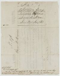 WrapperBack of Certificate No. 376 with wrapper 'Certificate 640 acres, filed 23 Nov 1853' and Browning's note of 1,806,336 square varas surveyed on it.General Land Office, file 1175, page 8 · in the scan
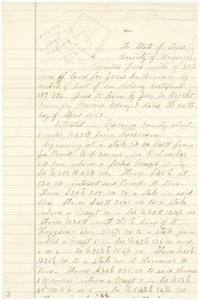 Field notesFirst page of the corrected field notes of 319 6/10 acres for Jonas DeArman, about 3 miles N 47 W from Corsicana, with a sketch plat.General Land Office, file 1175, page 9 · in the scan
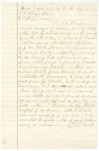 Field notesCounty Surveyor A. S. Howren certifies his survey on the ground of 8 June 1874 found the conflict with R. Leach to be under 4/10 of an acre.General Land Office, file 1175, page 10 · in the scan
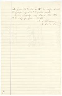 Surveyor's certificateClose of Howren's certificate: corrected the field notes recorded in Book A page 397, signed 12 June 1874 as County Surveyor, Navarro County.General Land Office, file 1175, page 11 · in the scan
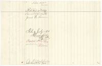 WrapperWrapper no. 4 for the corrected field notes, filed 1 July 1874 by Rhoads Fisher and patented 15 July 1874, No. 157 Vol. 42.General Land Office, file 1175, page 12 · in the scan
Scans courtesy of the Texas General Land Office, Austin, from its Land Grant Database.
Neighbouring surveys
Sources
- Texas General Land Office, Land Grant Database: Navarro County, Abstract 212
- The Land Office file, scanned (PDF, at the General Land Office)
- 1924 map: courtesy of the Texas General Land Office, Austin, Map 73249, used under licence. Topo: U.S. Geological Survey, The National Map. Aerial photographs: U.S. Department of Agriculture, National Agriculture Imagery Program, 2012, 2018 and 2022. Survey outlines: Railroad Commission of Texas, Original Texas Land Survey. Grant records and files: Texas General Land Office.