Blackland TX · ← All the original surveys
Benjamin P. Bustian Survey, Abstract 79
- Granted to
- Benjamin P. Bustian
- Kind of grant
- Headright, second classLand for settlers who came between independence and 1 October 1837.
- Land Office file
- Robertson 2nd class, file 301
- Acres
- 640
- Patented to
- Benjamin P. Bustian
- Patent
- 16 Sep 1851 · No. 544, Vol. 3
Tap a survey to open its page.
What the file shows
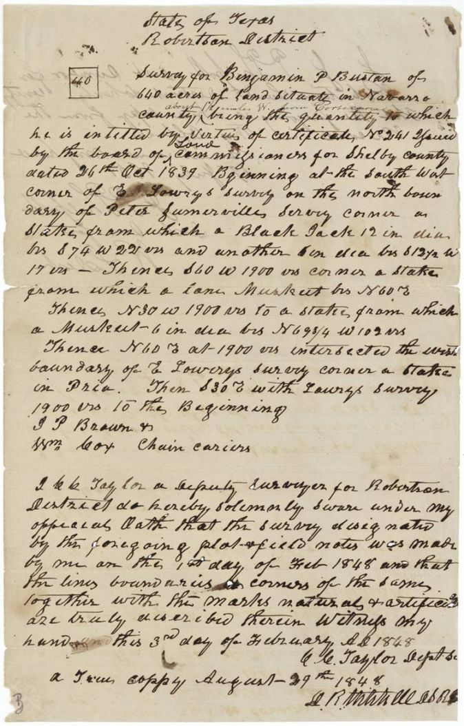
Benjamin P. Bustian proved in Shelby County in October 1839 that he was a single man entitled to 640 acres under the 1837 act, receiving conditional certificate No. 241. Deputy surveyor C. C. Taylor located the land west of Corsicana in February 1848, next to E. Lowry's and Peter Somerville's surveys, and Navarro County made the certificate unconditional in February 1850. The patent issued on 16 September 1851 and was handed to D. R. Mitchell.
The certificate
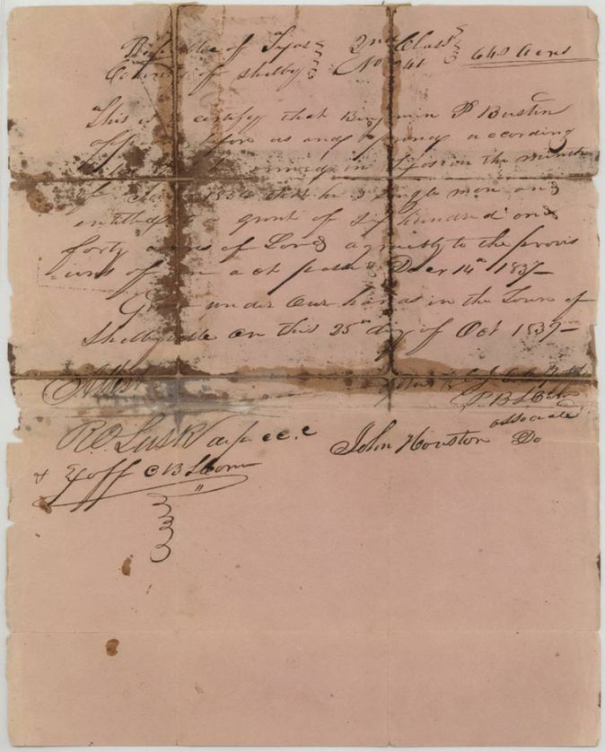
headright 2nd class, conditional certificate converted to unconditional, No. 241 (Shelby County board of land commissioners), 640 acres, Original: Board of Land Commissioners of Shelby County at Shelbyville, signed R. O. Lusk(?) and John Houston, Associates, with J. Goff(?) and a clerk's attestation. Unconditional certificate: S. C. Cross, Chief Justice of Navarro County, with F. B. Kendall(?) and A. M. Sloan, Associates; R. W. White, Clerk of the Board of Land Court, Shelbyville (original); Corsicana (unconditional), 1839-10-25 (original); 1850-02-17 (unconditional).
Benjamin P. Bustian appeared before the Shelby County board and proved, according to law, that he emigrated to Texas in (the winter of?) 1836(?), a single man, and was entitled to a grant of 640 acres under the act of 14 December 1837
The survey
1848-02-01 (sworn 1848-02-03), C. C. Taylor, Deputy Surveyor, Robertson District.
Navarro County; red-ink insertion: about 11 miles W from Corsicana
Chain carriers: J. P. Brown, Wm. Cox.
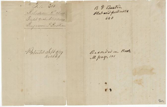
Book M, page 101
The patent
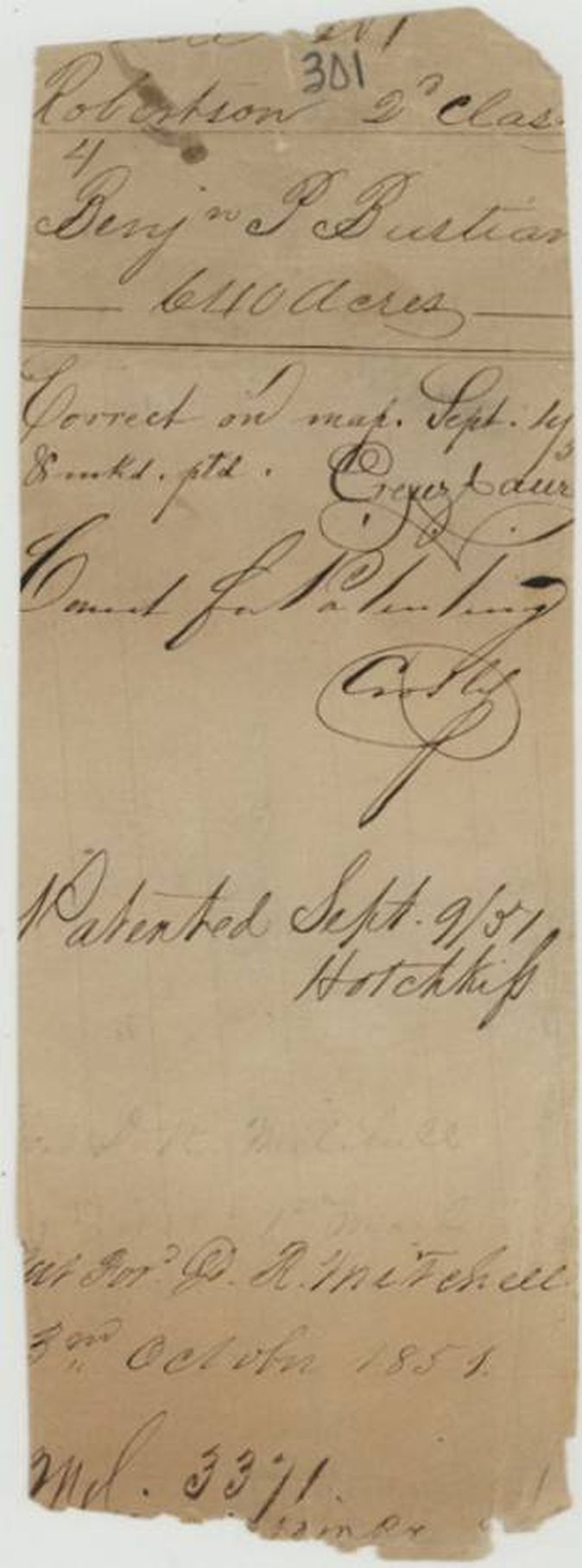
1851-09-16 (outer jacket 'Patented Sept 9/51' with 16 written over the 9; field-notes wrapper and patent jacket 'Patented Sept 9/51, Hotchkiss'), No. 544, Vol. 3, to Benjamin P. Bustian, delivered to D. R. Mitchell, 3 October 1851 ('Pat. for D. R. Mitchell 3rd October 1851').
Also in the file
- Index says patent 16 Sep 1851, No. 544, Vol. 3; the clerk's notes on the field-notes wrapper and patent jacket say 'Patented Sept 9/51', and the outer jacket has 16 written over the 9.
- The survey dated February 1848 cites the Shelby County conditional certificate; the unconditional Navarro certificate was only issued in February 1850, so the survey preceded the certificate's confirmation.
- The certificate date is given as 25 October 1839 on the certificates but 26 Oct 1839 in the field notes.
- The patent was delivered to D. R. Mitchell (a deputy surveyor), not to Bustian, on 3 October 1851.
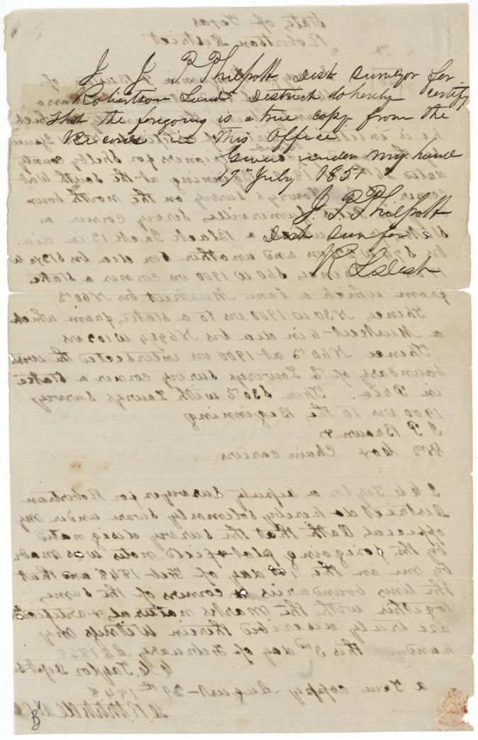
- The field notes carry two true copies: one by D. R. Mitchell dated 29 August 1848 and one by J. P. Philpott dated 19 July 1851.
Timeline
- 25 Oct 1839Shelby County board of land commissioners issues conditional certificate No. 241 for 640 acres to Benjamin P. Bustian
- 1 Feb 1848C. C. Taylor surveys 640 acres for Bustian in Navarro County
- 29 Aug 1848D. R. Mitchell certifies a true copy of the field notes
- 17 Feb 1850Navarro County board of land court certifies Bustian's unconditional right to 640 acres at Corsicana
- 19 Jul 1851J. P. Philpott certifies a true copy of the field notes
- 16 Sep 1851Patent No. 544 Vol. 3 to Benjamin P. Bustian
- 3 Oct 1851Patent delivered to D. R. Mitchell
The papers in the file
Every page of the Land Office file, in the order the Land Office keeps them (9 pages). Tap a page to see it larger.
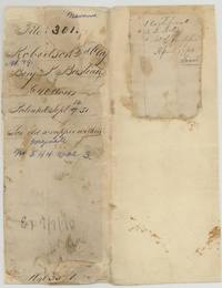 File jacketJacket and contents sheet for file 301, Benjamin P. Bustian, 640 acres, patented September 1851, No. 544 Vol. 3.General Land Office, file 301, page 1 · in the scan
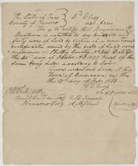 CertificateNavarro County certificate that Bustian is entitled to 640 acres on Shelby County conditional certificate No. 241, signed by Chief Justice S. C. Cross.General Land Office, file 301, page 2 · in the scan
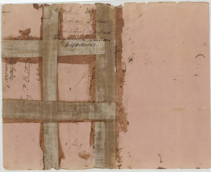
 Back of the certificateBack of the certificate marked file 301 Robertson 2nd class unconditional certificate, Benjamin P. Bustian, 640 acres.General Land Office, file 301, page 3 · in the scan
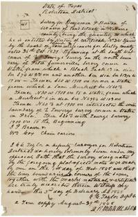 Field notesC. C. Taylor's field notes for 640 acres west of Corsicana next to E. Lowry and Peter Somerville, surveyed 1 February 1848.General Land Office, file 301, page 4 · in the scan
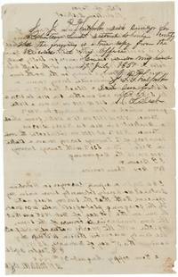 Surveyor's certificateJ. P. Philpott's certified true copy of the Bustian field notes, 19 July 1851; show-through of the page's text.General Land Office, file 301, page 5 · in the scan
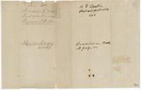 WrapperBack of the field notes: plat and field notes 640 acres, recorded Book M page 101, patented September 1851.General Land Office, file 301, page 6 · in the scan
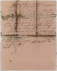 CertificateShelby County second-class conditional certificate No. 241 for 640 acres to Benjamin P. Bustian, stained and taped, 25 October 1839.General Land Office, file 301, page 7 · in the scan
 Back of the certificateBack of the Shelby certificate, endorsed file 301 Robertson 2nd class conditional certificate, Benjamin P. Bustian, 640 acres, held by tape.General Land Office, file 301, page 8 · in the scan
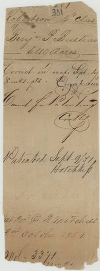 File jacketPatent jacket: correct on map 1 Sept 1851, patented 9 Sept 1851 by clerk Hotchkiss, patent for D. R. Mitchell 3 October 1851.General Land Office, file 301, page 9 · in the scan
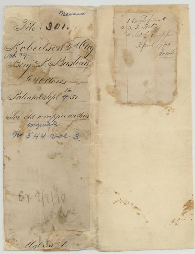
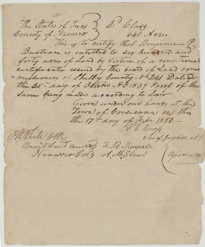
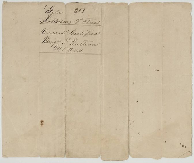
Scans courtesy of the Texas General Land Office, Austin, from its Land Grant Database.
Neighbouring surveys
Sources
- Texas General Land Office, Land Grant Database: Navarro County, Abstract 79
- The Land Office file, scanned (PDF, at the General Land Office)
- 1924 map: courtesy of the Texas General Land Office, Austin, Map 73249, used under licence. Topo: U.S. Geological Survey, The National Map. Aerial photographs: U.S. Department of Agriculture, National Agriculture Imagery Program, 2012, 2018 and 2022. Survey outlines: Railroad Commission of Texas, Original Texas Land Survey. Grant records and files: Texas General Land Office.