Blackland TX · ← All the original surveys
James Pratt Survey, Abstract 643
- Granted to
- James Pratt
- Kind of grant
- Headright, second classLand for settlers who came between independence and 1 October 1837.
- Land Office file
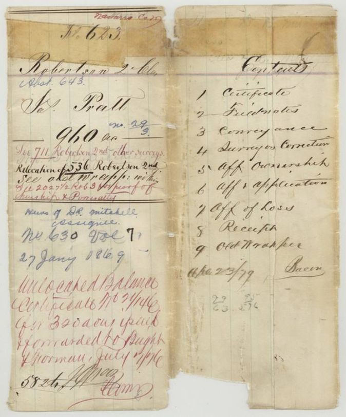
- Robertson 2nd class, file 623
- Certificate
- No. 29/3
- Acres
- 960
- Patented to
- Heirs of D. R. Mitchell
- Patent
- 27 Jan 1869 · No. 630, Vol. 7
Tap a survey to open its page.
What the file shows
James Pratt held a second-class head-right for 1280 acres: a conditional certificate from the Jasper County board dated 1840, made unconditional by the Navarro County board of land commissioners in 1850. He sold it in 1850 to David R. Mitchell. After the certificate and transfer were lost, the Land Office issued a duplicate in August 1867, and county surveyor J. M. Eliot surveyed 960 acres on Brier Creek in June 1867. The patent went to the heirs of D. R. Mitchell on 27 January 1869, and the 320-acre balance was reissued as an unlocated certificate in 1876.
The certificate
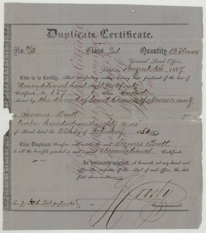
duplicate unconditional head-right certificate, 2nd class (replacing a lost certificate that had been conditional, then proved unconditional), No. 29/3 (duplicate); original No. 187, 1280 (960 located in this file; 320 left as unlocated balance), General Land Office, Commissioner S. Crosby (Stephen Crosby), Austin (duplicate); the lost original unconditional certificate No. 187 was issued 28 Feb 1850 at Corsicana by the Board of Land Commissioners of Navarro County (S. G. Cross, Chief Justice; associates A. M. Moan(?), F. R. Kendall, Jacob Hartzel(?); R. N. White, clerk of the Board), on the strength of Jasper County board conditional certificate No. 187 of 9 Jan 1840, Austin, 6 Aug 1867.
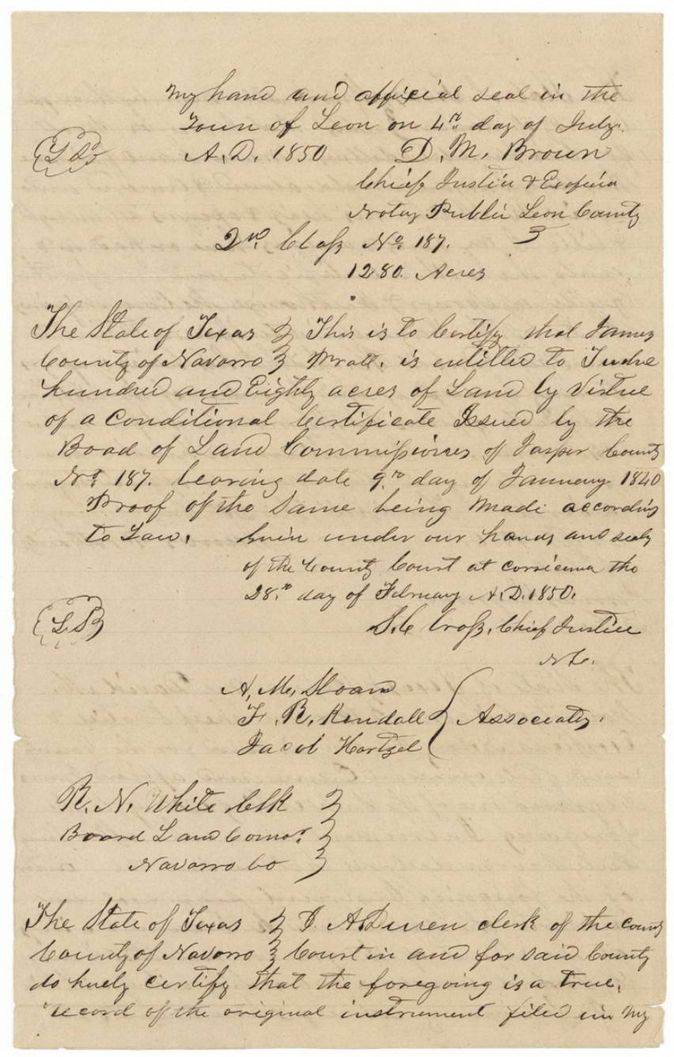
Satisfactory evidence having been produced of the loss of the unconditional head-right certificate No. 187, Class Second, issued to James Pratt for 1280 acres on 28 February 1850. The original conditional certificate No. 187 of the Jasper County board is dated 9 January 1840; the Board of Land Commissioners of Navarro County, sitting at Corsicana, certified on 28 Feb 1850 that proof was made according to law, signed S. G. Cross, Chief Justice, with associates A. M. Moan(?), F. R. Kendall and Jacob Hartzel(?), attested R. N. White, clerk of the Board of Land Commissioners
Changes of hand
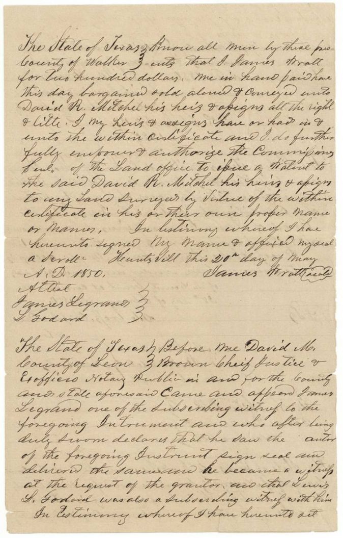
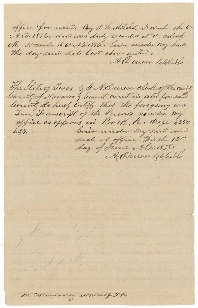
- 20 May 1850James Pratt, of Walker County → David R. Mitchell, $200, Huntsville, Walker County, Texas. Sells all right and title in the certificate and empowers the Land Commissioner to issue a patent to Mitchell or his assigns. File holds only a copy; the original was lost (see affidavit of 16 Jan 1869). Copy filed 16 Aug 1858.
The survey
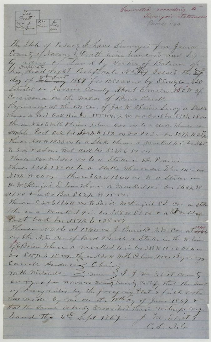
1867-06-18 (certified 1867-09-06), J. M. Eliot, County Surveyor for Navarro County.
Navarro County, about 6 miles N 80(?) W of Corsicana (first digit retouched in red ink; could be N 8° W), on the waters of Brier Creek
Chain carriers: Carroll Anderson, W. H. Mitchell.
Book B, page 46
The patent
27 Jan 1869, No. 630, Vol. 7, to the heirs of D. R. Mitchell, deceased, assignee, delivered to not stated.
Also in the file
- The certificate carries two numbers: the original conditional 187 (Jasper County board, 1840) and the duplicate 29/3 (GLO, 1867); the duplicate was needed because the original was lost.
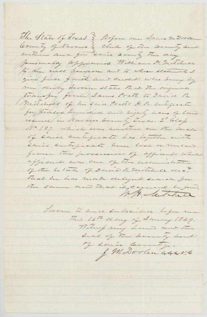
- The original transfer from Pratt to D. R. Mitchell (20 May 1850) was lost while William H. Mitchell was administrator of his father's estate; only a copy survives and the heirs, not Mitchell himself, received the patent.
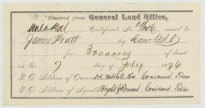
- Index shows 960 acres but the duplicate certificate was for 1280, leaving 320 acres as an unlocated balance (new certificate 21/146 forwarded to Bright & Forman on 7 July 1876).
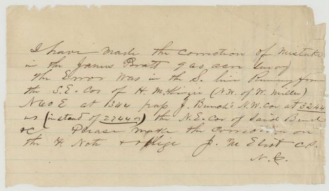
- Survey call for Bunch's corner was corrected from 2744 to 3244 varas by the surveyor.
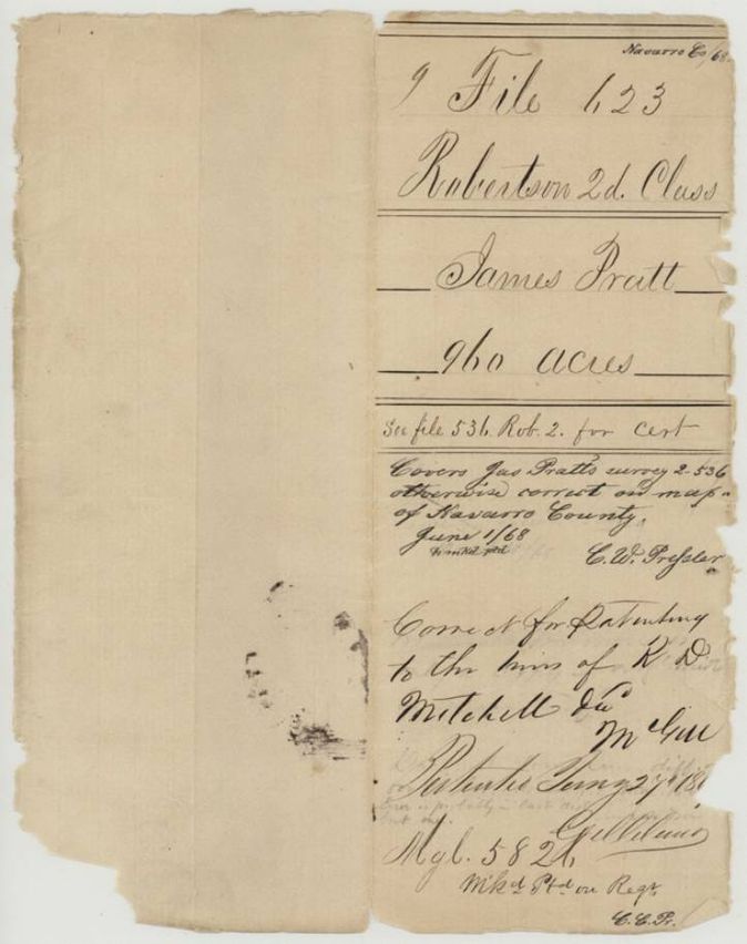
- The jacket says this file 'covers Jas. Pratt's survey 2-536' and is a relocation of file 536, so part of the land was earlier surveyed or in conflict.
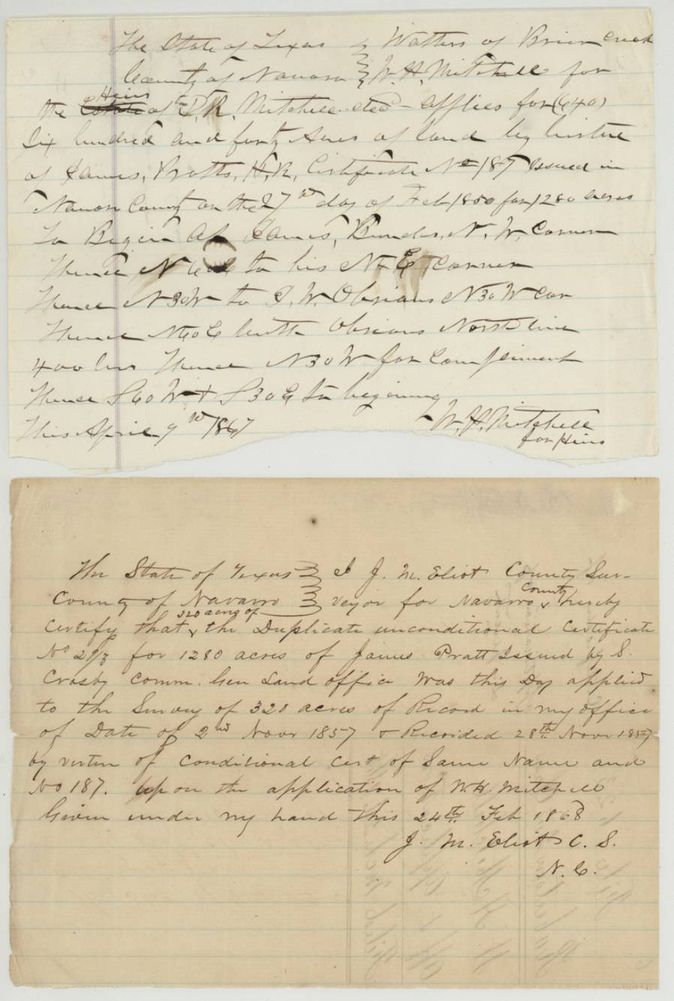
- J. M. Eliot's 1868 note says the duplicate was applied to a survey of 320 acres of record dated 2 Nov 1857 and recorded 28 Nov 1857 under the conditional certificate of the same number.
- The 1867 field notes write the duplicate's issue date as 'Feb' struck over and 'August' substituted ('6th' written over '27th').
- File was refiled under 623 after being numbered 536.
Timeline
- 9 Jan 1840Board of Land Commissioners of Jasper County issues conditional certificate No. 187 to James Pratt for 1280 acres
- 28 Feb 1850Board of Land Commissioners of Navarro County, at Corsicana, issues unconditional certificate No. 187 (2nd class, 1280 acres) on proof of the Jasper County conditional certificate
- 20 May 1850James Pratt sells the certificate to David R. Mitchell for $200 at Huntsville
- 4 Jul 1850Transfer proved before the Leon County chief justice
- 2 Nov 1857A survey of 320 acres for Pratt entered in the county surveyor's records (recorded 28 Nov 1857)
- 18 Jun 1867J. M. Eliot surveys 960 acres on Brier Creek
- 6 Aug 1867General Land Office issues duplicate certificate 29/3 for 1280 acres
- 6 Sep 1867Eliot certifies the survey; recorded Book B p. 46
- 2 Mar 1868File filed in the General Land Office
- 1 Jun 1868Checked on map of Navarro County
- 16 Jan 1869William H. Mitchell swears the original transfer was lost
- 27 Jan 1869Patent No. 630 Vol. 7 to the heirs of D. R. Mitchell, assignee
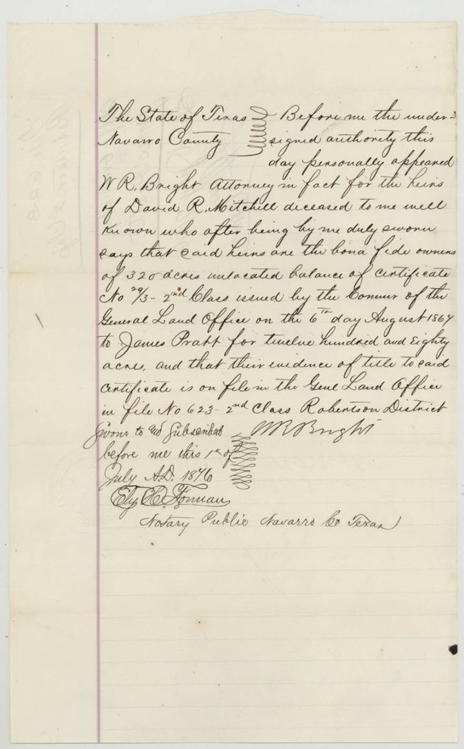
- 1 Jul 1876W. R. Bright, attorney in fact for the heirs, swears to ownership of the 320-acre balance
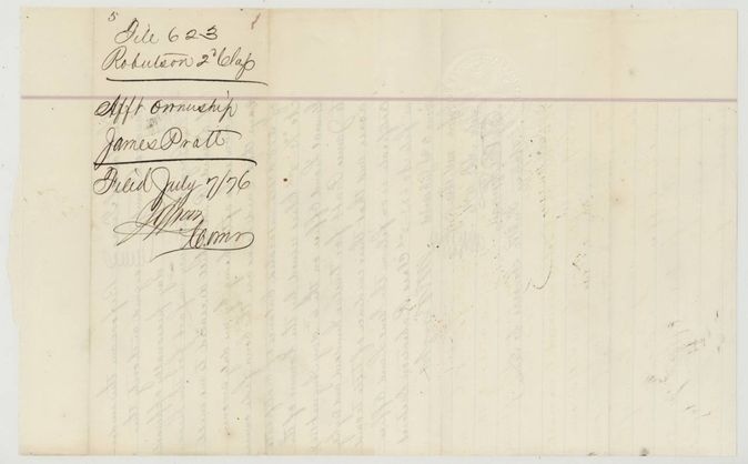
- 7 Jul 1876Unlocated balance certificate 21/146 for 320 acres forwarded to Bright & Forman
The papers in the file
Every page of the Land Office file, in the order the Land Office keeps them (20 pages). Tap a page to see it larger.
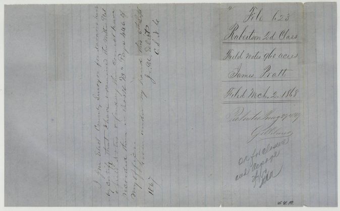
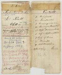 File jacketFile jacket 623, Robertson 2nd Class, abstract 643, James Pratt 960 acres, patented to the heirs of D. R. Mitchell 27 January 1869 as No. 630 Vol. 7, with contents list.General Land Office, file 623, page 1 · in the scan
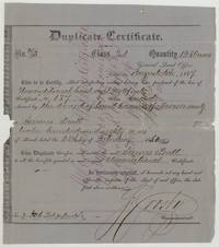 CertificateDuplicate certificate 29/3 for 1280 acres issued to James Pratt by the General Land Office on 6 August 1867 after the original certificate No. 187 was lost.General Land Office, file 623, page 2 · in the scan
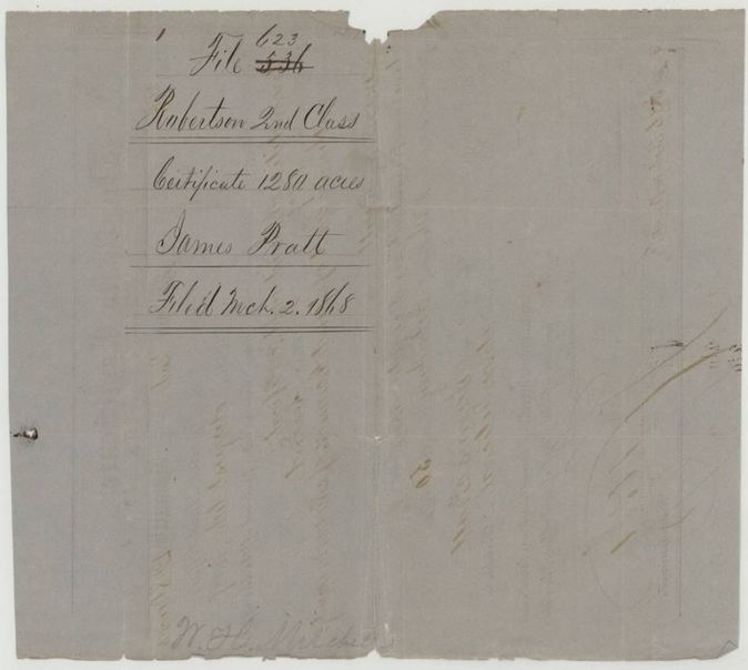
 Back of the certificateBack of the duplicate certificate docketed Robertson 2nd Class, certificate 1280 acres, James Pratt, filed March 2, 1868.General Land Office, file 623, page 3 · in the scan
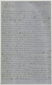 Field notesField notes and sketch of 960 acres for James Pratt on Brier Creek surveyed by J. M. Eliot on 18 June 1867, with carriers Carroll Anderson and W. H. Mitchell.General Land Office, file 623, page 4 · in the scan
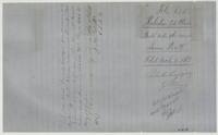 Surveyor's certificateEliot's certificate of 6 September 1867 that the field notes are correct and recorded in Book B page 46, with wrapper marked patented January 27, 1869.General Land Office, file 623, page 5 · in the scan
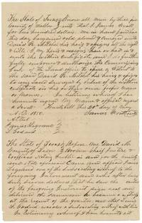 TransferCopy of James Pratt's transfer to David R. Mitchell of his certificate for $200, Huntsville, 20 May 1850, with Leon County proof.General Land Office, file 623, page 6 · in the scan
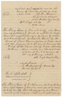 CertificateNavarro County Board of Land Commissioners certificate that Pratt is entitled to 1280 acres on Jasper County conditional certificate No. 187 (9 Jan 1840), Corsicana, 28 February 1850.General Land Office, file 623, page 7 · in the scan
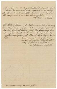 CertificateClerk A. Duren's certificates that the copy was recorded 6 November 1856 and is a true transcript of Book K pages 428-429, 12 June 1858.General Land Office, file 623, page 8 · in the scan
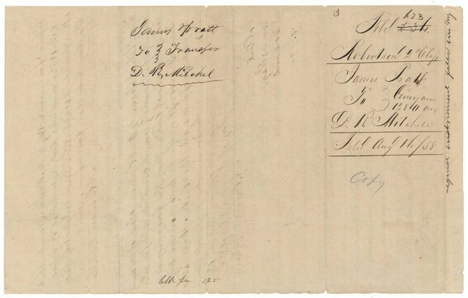
 WrapperWrapper for the copy of the Pratt to D. R. Mitchell transfer of 1280 acres, filed Aug 16 1858.General Land Office, file 623, page 9 · in the scan
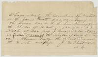 LetterNote from J. M. Eliot correcting the 960-acre survey: the call for J. Bunch's N.W. corner should be 3244 varas instead of 2744.General Land Office, file 623, page 10 · in the scan
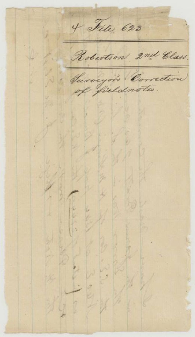
 WrapperWrapper docketed Robertson 2nd Class, surveyor's correction of fieldnotes.General Land Office, file 623, page 11 · in the scan
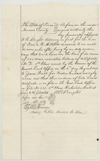 AffidavitW. R. Bright swears as attorney in fact for D. R. Mitchell's heirs that they own the 320-acre unlocated balance of certificate 29/3, 1 July 1876.General Land Office, file 623, page 12 · in the scan
 WrapperWrapper for the affidavit of ownership of James Pratt's certificate, filed July 7, 1876.General Land Office, file 623, page 13 · in the scan
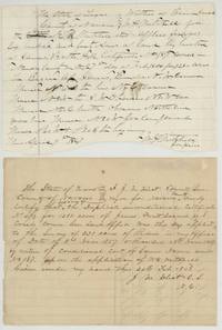 AffidavitW. H. Mitchell's application for 640 acres for D. R. Mitchell's heirs (9 April 1867) and J. M. Eliot's certificate of 24 Feb 1868 on the duplicate certificate.General Land Office, file 623, page 14 · in the scan
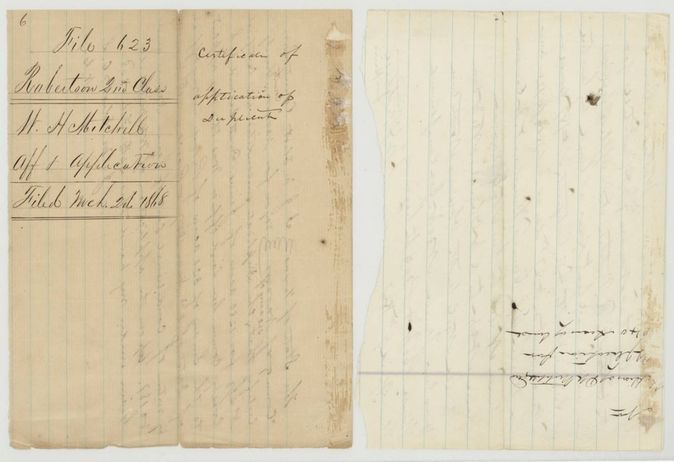
 WrapperWrapper docketed W. H. Mitchell, affidavit and application, filed March 2, 1868, with a second fragment of the application.General Land Office, file 623, page 15 · in the scan
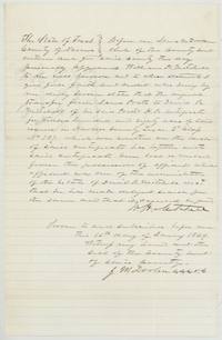 AffidavitWilliam H. Mitchell swears on 16 January 1869 that Pratt's original transfer to D. R. Mitchell was lost while he administered the estate.General Land Office, file 623, page 16 · in the scan
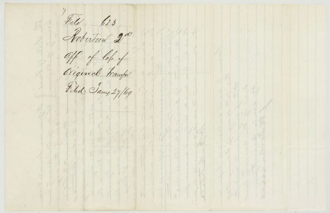
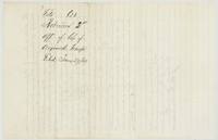 WrapperWrapper docketed affidavit of loss of original transfer, filed January 27, 1869.General Land Office, file 623, page 17 · in the scan
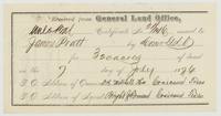 Other papersGeneral Land Office receipt for unlocated balance certificate 21/146 for 320 acres issued to James Pratt, sent to Bright & Forman, 7 July 1876.General Land Office, file 623, page 18 · in the scan
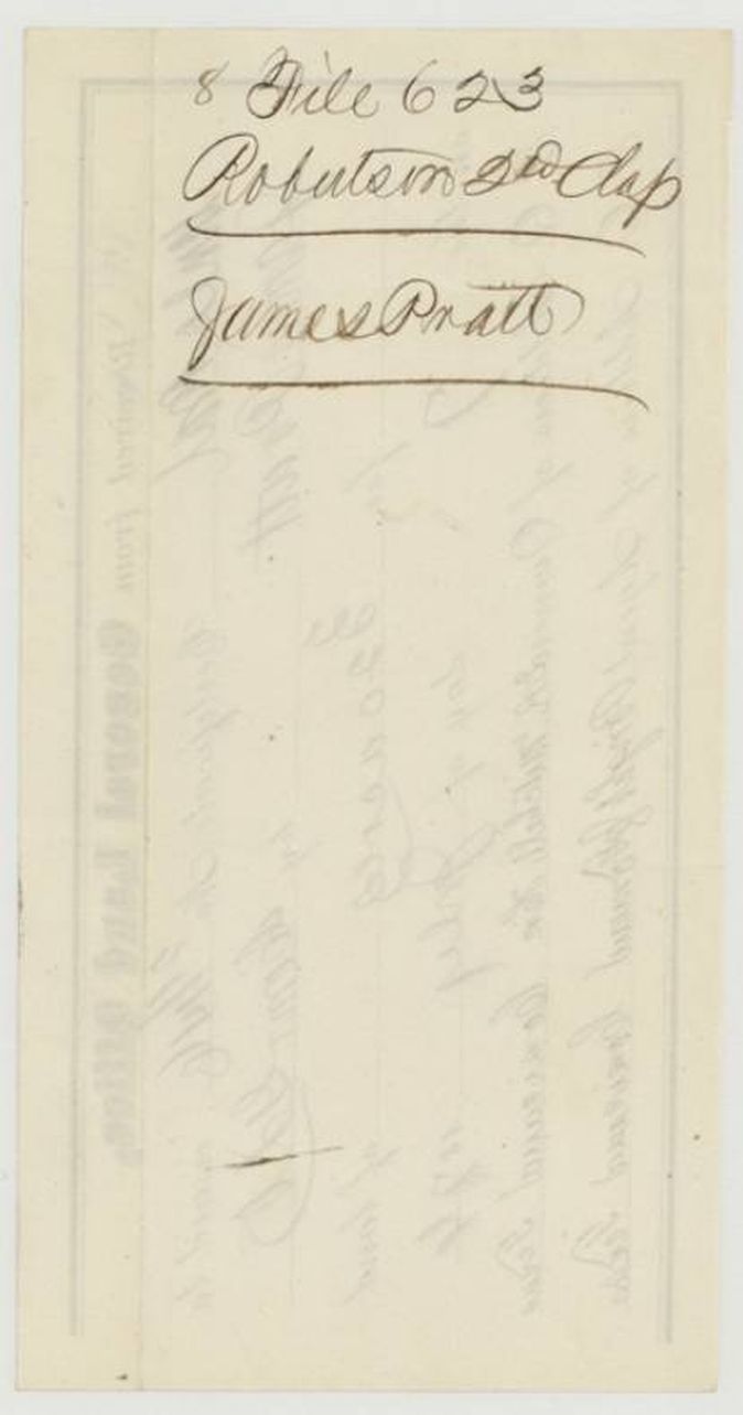
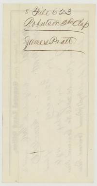 WrapperBack of the receipt, docketed File 623 Robertson 2nd Class, James Pratt.General Land Office, file 623, page 19 · in the scan
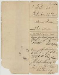 WrapperOld wrapper for File 623, James Pratt 960 acres, noting it covers Pratt's survey 2-536 and was patented 27 January 1869.General Land Office, file 623, page 20 · in the scan
Scans courtesy of the Texas General Land Office, Austin, from its Land Grant Database.
Neighbouring surveys
Sources
- Texas General Land Office, Land Grant Database: Navarro County, Abstract 643
- The Land Office file, scanned (PDF, at the General Land Office)
- 1924 map: courtesy of the Texas General Land Office, Austin, Map 73249, used under licence. Topo: U.S. Geological Survey, The National Map. Aerial photographs: U.S. Department of Agriculture, National Agriculture Imagery Program, 2012, 2018 and 2022. Survey outlines: Railroad Commission of Texas, Original Texas Land Survey. Grant records and files: Texas General Land Office.