Blackland TX · ← All the original surveys
Martha Brennan Survey, Abstract 74
- Granted to
- Martha Brennan
- Kind of grant
- Headright, first classLand for settlers who were in Texas before independence, 2 March 1836.
- Land Office file
- Robertson 1st class, file 1319
- Certificate
- No. 20/113
- Acres
- 445.54
- Patented to
- A. Groesbeck
- Patent
- 24 Mar 1875 · No. 588, Vol. 20
Tap a survey to open its page.
What the file shows
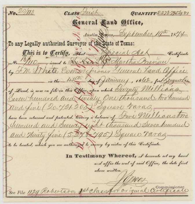
In 1874 the General Land Office issued a balance certificate on the 1862 Special Act certificate to the heirs of Martha Brennan, leaving 5,278,795 square varas to be located. District surveyor A. S. Hovren(?) laid it off in three pasture-land surveys in October 1874 on Chambers, Post Oak and Little Post Oak creeks south and west of Corsicana, and all three were patented to A. Groesbeck, assignee, on 24 March 1875.
The certificate
headright 1st class, balance certificate issued under a Special Act, No. 20/113 (balance certificate; Special Act certificate no. 13/110(?) issued on 14 Jan 1862), balance of 5,278,795 square varas (to be located); three surveys here total 5,278,795 vrs: 2,515,272 + 1,863,570 + 899,953, J. J. Groos, Commissioner, General Land Office, Austin; original certificate issued by F. M. White, Commissioner, 14 Jan 1862 to the heirs of Martha Brennan for one league and labor, Austin, Texas, 1874-09-10 (field notes call it 19 Sept 1874).
Special Act certificate to the heirs of Martha Brennan; 20,721,205 square varas already returned and patented, leaving a balance of 5,278,795 square varas, which this certificate authorizes to be surveyed
The survey
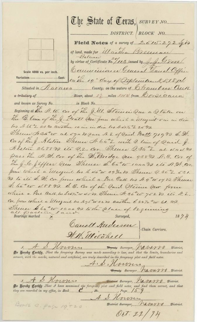
1874-10-22 (examined and recorded), A. S. Hovren(?) (reads 'A. S. Howen'), District Surveyor, Navarro District.
Navarro County, on the waters of Chambers Creek, about 5 1/2 miles N 52 W from Corsicana
Chain carriers: Carroll Anderson, W. H. Mitchell.
Book C, page 159
The survey
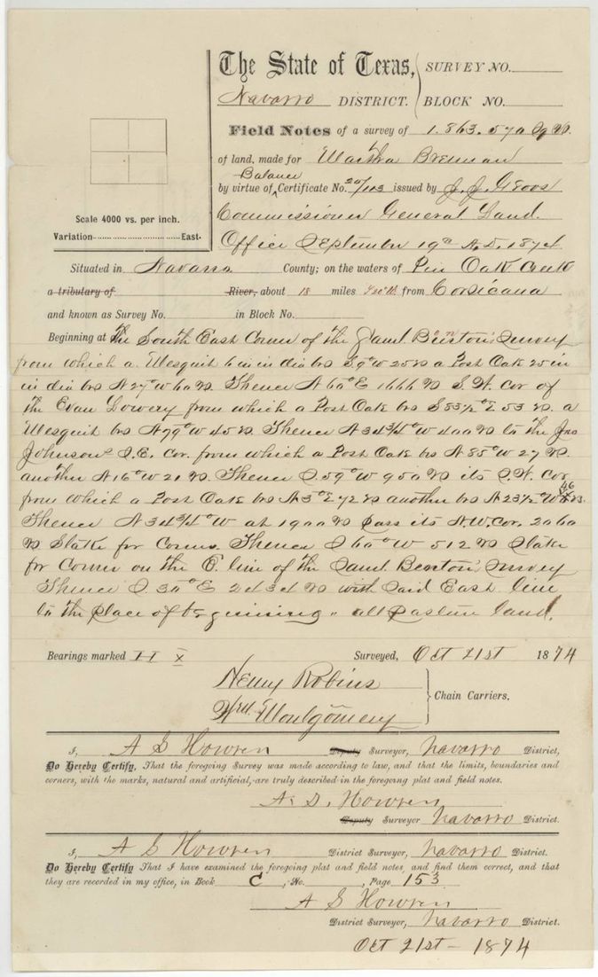
21 Oct 1874, A. S. Hovren(?), District Surveyor, Navarro District.
Navarro County, on the waters of Post Oak Creek, about 18 miles south from Corsicana
Chain carriers: Henry Robins, Wm. Montgomery.
Book C, page 153
The survey
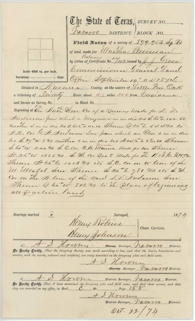
1874-10-22 (examined and recorded), A. S. Hovren(?), District Surveyor, Navarro District.
Navarro County, on the waters of Little Post Oak Creek, a tributary of the Trinity River, about 15 1/2 miles S 4 E(?) from Corsicana
Chain carriers: Henry Robins, Henry Johnson.
Book C, page 158
The patent
1875-03-24 (jacket also 'Mar 18/75' in pencil), Nos. 588 (abst. 74, 2,515,272 vrs), 589 (abst. 76, 899,953 vrs) and 590 (abst. 75, 1,863,570 vrs), Vol. 20, to A. Groesbeck, assignee, delivered to not stated.
Also in the file
- Certificate is dated 10 September 1874 on its face but field notes say it was issued 19 September 1874.
- The original Special Act certificate was issued in 1862 to the heirs of Martha Brennan; most of it had already been patented elsewhere, and this file locates the balance.
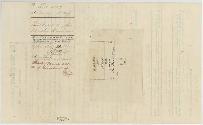
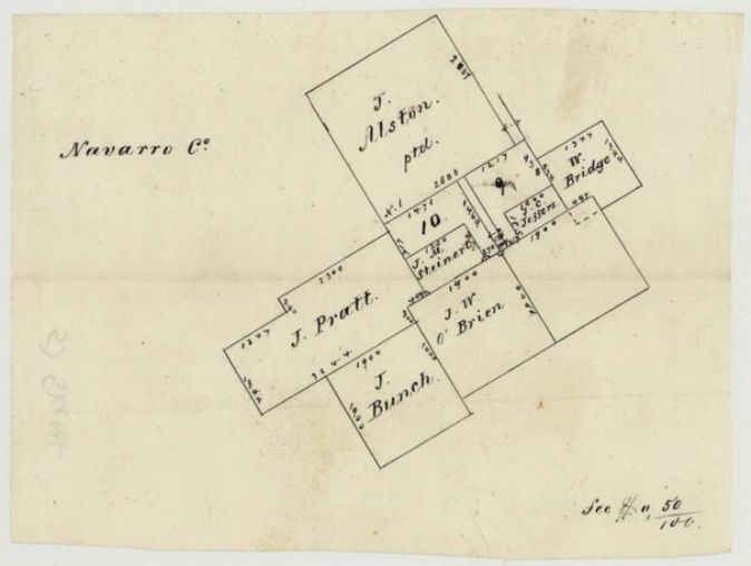
- Wrapper notes the 2,515,272-vara survey covers Nos. 9 and 10 of an H. & T. C. R. R. Co. survey, so it conflicts with railroad land; it is marked '(Surrounded)', with a faint pencil note 'conflicting survey abandoned(?)' (p5).
- Patent numbers: jacket gives 588 for 2,515,272 vrs, 589 for 899,953 and 590 for 1,863,570; index says abstract 75 is no. 590 and abstract 76 is no. 589 - matches the jacket. Patent date 24 Mar 1875 matches the index.
- Patent issued to A. Groesbeck as assignee but no transfer deed is in the file.
Timeline
- 14 Jan 1862Original Special Act certificate issued to the heirs of Martha Brennan
- 10 Sep 1874Balance certificate No. 20/113 issued, 5,278,795 sq. varas
- 21 Oct 1874Survey of 1,863,570 varas on Post Oak Creek
- 22 Oct 1874Surveys of 2,515,272 varas (Chambers Creek) and 899,953 varas (Little Post Oak) examined and recorded
- 24 Oct 1874Field notes filed in the General Land Office
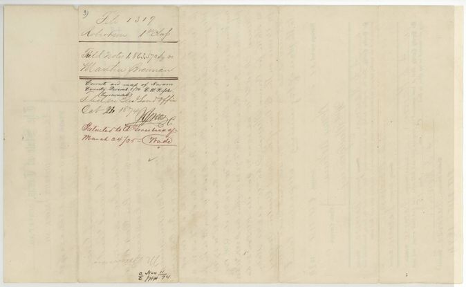
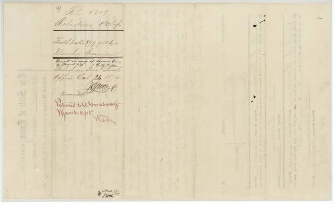
- 8 Dec 1874Checked correct on the map of Navarro County by C. W. Pressler
- 24 Mar 1875Patents 588-590 Vol. 20 to A. Groesbeck, assignee
The papers in the file
Every page of the Land Office file, in the order the Land Office keeps them (11 pages). Tap a page to see it larger.
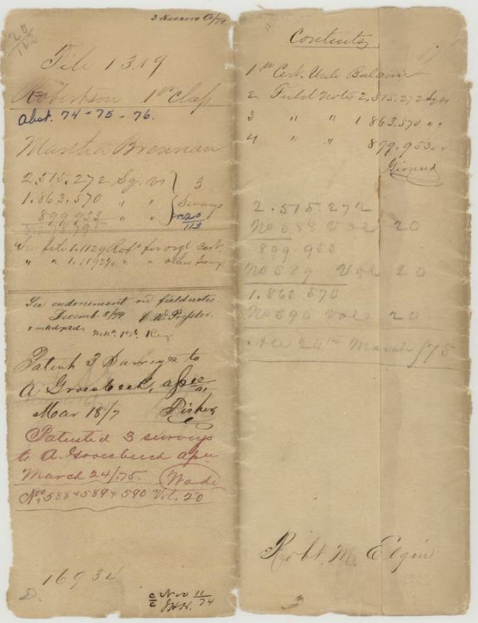
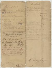 File jacketJacket for Martha Brennan's three surveys, abstracts 74-75-76, patented to A. Groesbeck 24 March 1875, Nos. 588-590 Vol. 20.General Land Office, file 1319, page 1 · in the scan
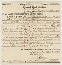 CertificateGeneral Land Office balance certificate 20/113 for Martha Brennan's heirs, leaving 5,278,795 square varas to be surveyed.General Land Office, file 1319, page 2 · in the scan
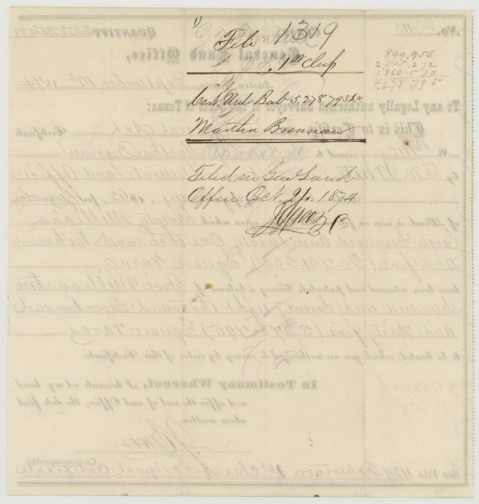
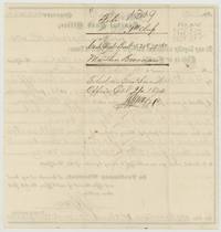 Back of the certificateBack of the balance certificate docketed file 1319 and filed in the General Land Office 21 Oct 1874.General Land Office, file 1319, page 3 · in the scan
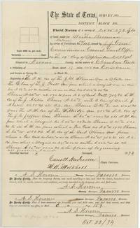 Field notesField notes of 2,515,272 varas on Chambers Creek, 5 1/2 miles NW of Corsicana, chain carriers Carroll Anderson and W. H. Mitchell.General Land Office, file 1319, page 4 · in the scan
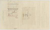 WrapperWrapper for the 2,515,272-vara notes with a sketch plat; covers Nos. 9 and 10 of an H. & T. C. R. R. survey, marked surrounded; patented 24 March 1875.General Land Office, file 1319, page 5 · in the scan
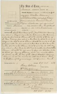 Field notesField notes of 1,863,570 varas on Post Oak Creek, 18 miles south of Corsicana, chain carriers Henry Robins and Wm. Montgomery.General Land Office, file 1319, page 6 · in the scan
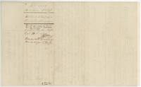 WrapperWrapper for the 1,863,570-vara notes, correct on the Navarro map 8 Dec 1874, patented to A. Groesbeck 24 March 1875.General Land Office, file 1319, page 7 · in the scan
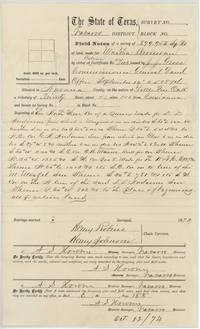 Field notesField notes of 899,953 varas on Little Post Oak Creek, about 15 1/2 miles from Corsicana, chain carriers Henry Robins and Henry Johnson.General Land Office, file 1319, page 8 · in the scan
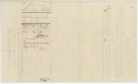 WrapperWrapper for the 899,953-vara notes, correct on the Navarro map 8 Dec 1874, patented to A. Groesbeck.General Land Office, file 1319, page 9 · in the scan
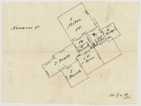 PlatSketch map of Navarro County surveys: J. Alston, J. Pratt, J. Bunch, J. W. O'Brien, J. M. Steiner, W. Bridge and J. C. Jeffers around survey 10.General Land Office, file 1319, page 10 · in the scan
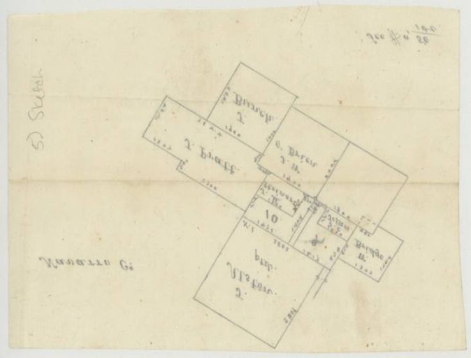
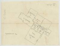 PlatReverse of the Navarro County sketch map, showing the same surveys and a pencil note 'Sketch'.General Land Office, file 1319, page 11 · in the scan
Scans courtesy of the Texas General Land Office, Austin, from its Land Grant Database.
Neighbouring surveys
Sources
- Texas General Land Office, Land Grant Database: Navarro County, Abstract 74
- The Land Office file, scanned (PDF, at the General Land Office)
- 1924 map: courtesy of the Texas General Land Office, Austin, Map 73249, used under licence. Topo: U.S. Geological Survey, The National Map. Aerial photographs: U.S. Department of Agriculture, National Agriculture Imagery Program, 2012, 2018 and 2022. Survey outlines: Railroad Commission of Texas, Original Texas Land Survey. Grant records and files: Texas General Land Office.