Blackland TX · ← All the original surveys
James Alston Survey, Abstract 34
- Granted to
- James Alston
- Kind of grant
- Bounty warrantLand paid for service in the army of the Republic.
- Land Office file
- Robertson Bounty, file 392
- Certificate
- No. 8099
- Acres
- 1280
- Patented to
- Arthur Conrey
- Patent
- 08 Jan 1850 · No. 512, Vol. 4
Tap a survey to open its page.
What the file shows
James Alston, a soldier from June 1836 to October 1837, was granted a 1280-acre bounty certificate in March 1839, which went through Aaron Burns to Arthur Conrey within a day. B. J. Chambers surveyed it on Chambers' Creek north-north-west of Corsicana in October 1840, and the patent issued to Conrey on 8 January 1850.
The certificate
bounty, No. 8099, 1280 acres, A. Sidney Johnston, Secretary of War; approved to the assignee 7 January 1850 by Wm. D. Pitts(?), Adjutant General(?), Houston, 20 Mar 1839.
Served faithfully and honorably for fifteen months from 4 June 1836 until 3 October 1837 and was honourably discharged
Changes of hand
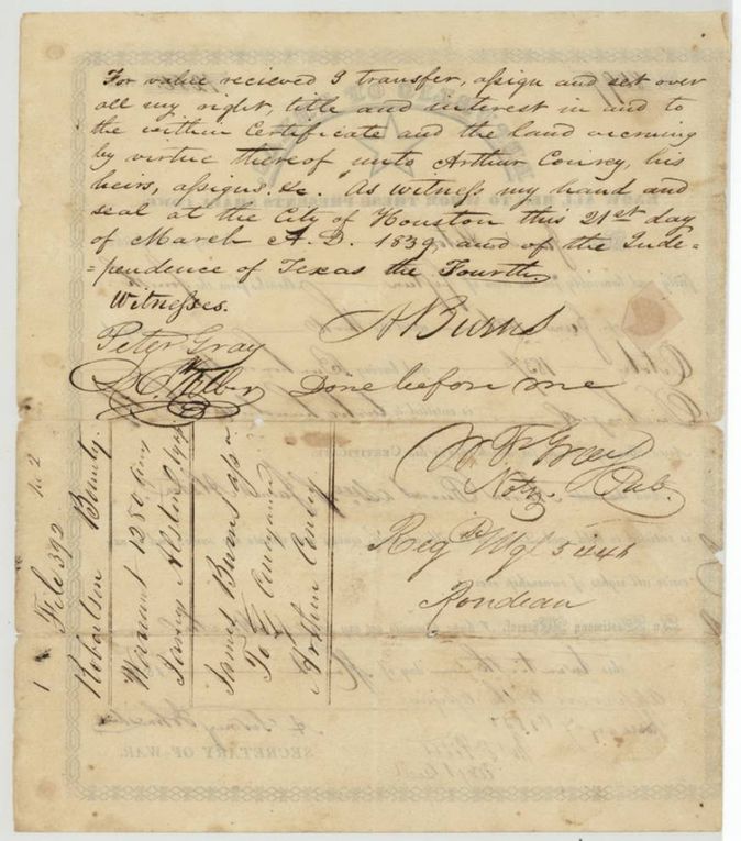
- 21 Mar 1839Aaron Burns (A. Burns), assignee of James Alston → Arthur Conrey, 'for value received', Houston, Texas. Transfers all right, title and interest in the certificate and the land accruing
The survey
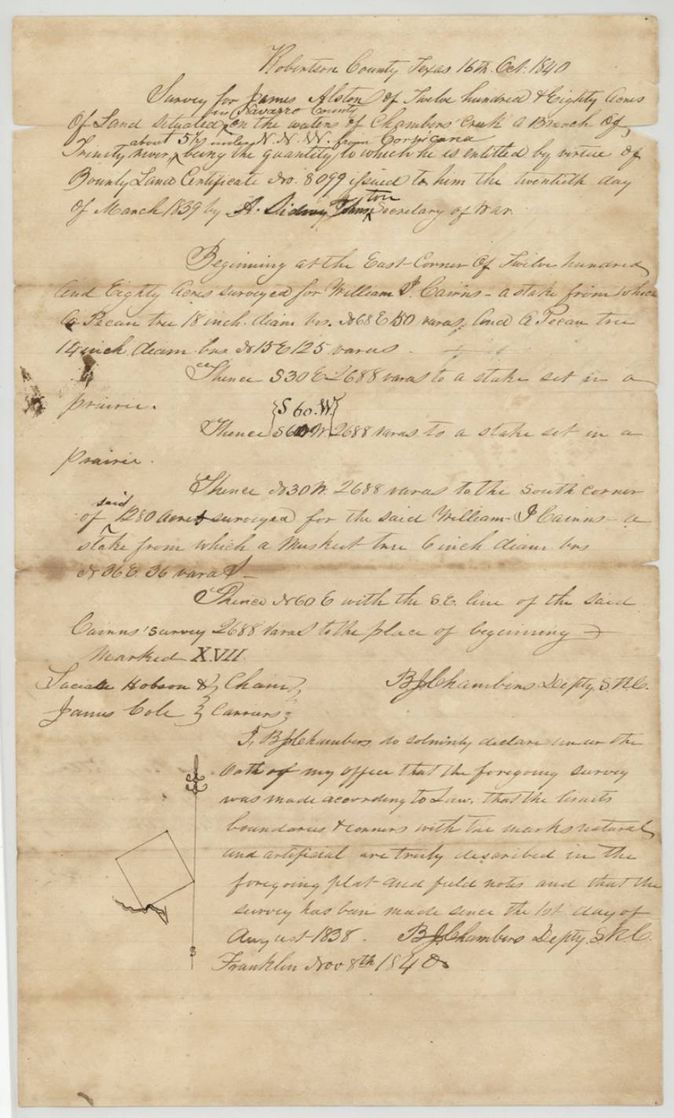
1840-10-16 (declaration 1840-11-08), B. J. Chambers, Deputy Surveyor (Robertson County).
Robertson County (Navarro) on the waters of Chambers' Creek, about 5 1/2 miles NNW of Corsicana
Chain carriers: Lucian Hobson, James Cole.
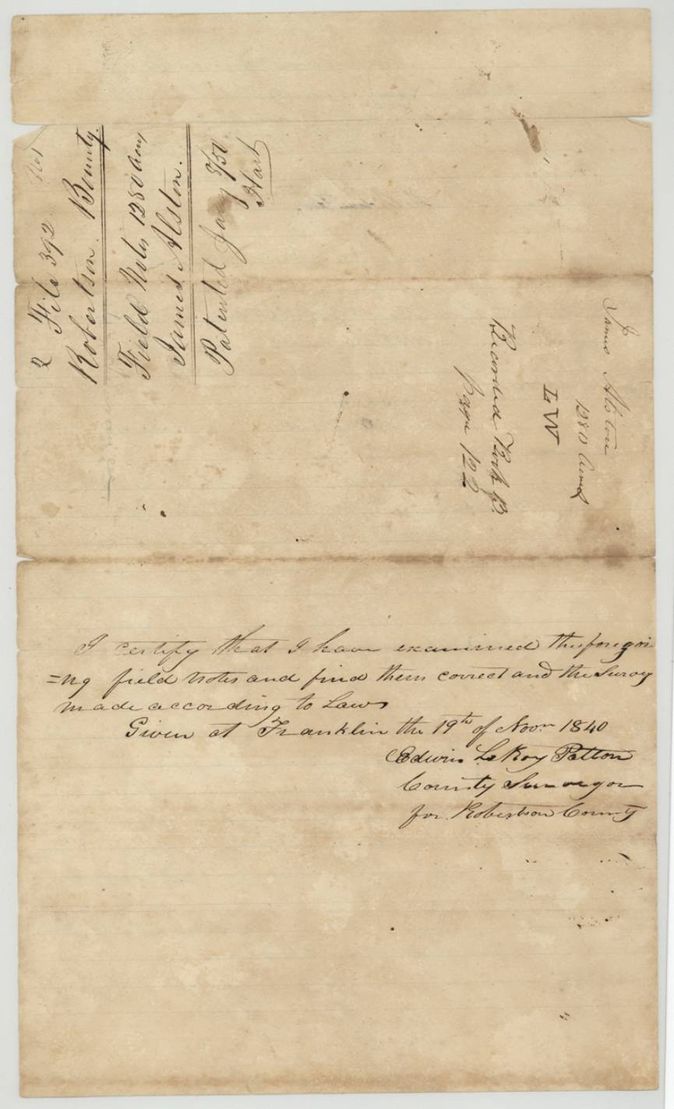
Book B p. 122
The patent
8 Jan 1850, No. 512, Vol. 4, to Arthur Conrey, assignee, delivered to J. W. Lawrence, 27 Feb 1850(?).
Also in the file
- The certificate text names Aaron Burns as assignee of James Alston, so Alston himself had sold before the certificate was issued; the endorsement then passes it to Arthur Conrey the next day (21 March 1839).
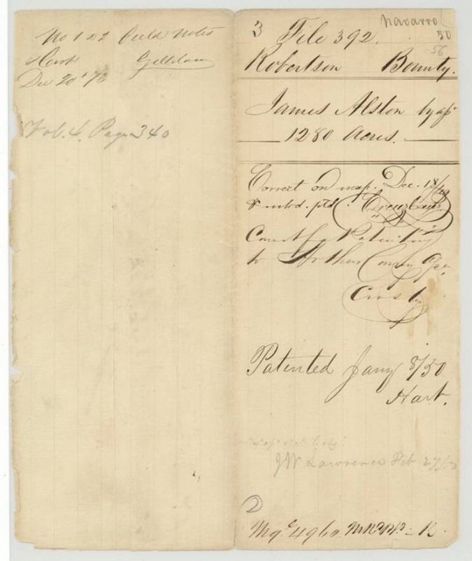
- The jacket lists 'Navarro 50' and '56' (Navarro numbers) beside a 'Robertson Bounty' file.
- In the field notes the Secretary of War's name was first written 'A. Sidney John' and 'ston' was interlined; a red-ink 'S 60 W' rewrites the second course.
- 'Arthur Conrey' appears as Conrey, Conroy and Conry.
Timeline
- 4 Jun 1836James Alston's army service begins
- 3 Oct 1837Alston discharged
- 20 Mar 1839Bounty certificate 8099 issued at Houston
- 21 Mar 1839Aaron Burns transfers it to Arthur Conrey
- 16 Oct 1840B. J. Chambers surveys 1280 acres on Chambers' Creek
- 19 Nov 1840Survey examined, Book B p. 122
- 18 Dec 1849Checked correct on map
- 7 Jan 1850Certificate approved to the assignee
- 8 Jan 1850Patent No. 512 Vol. 4 to Arthur Conrey
The papers in the file
Every page of the Land Office file, in the order the Land Office keeps them (6 pages). Tap a page to see it larger.
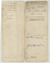 File jacketFile jacket, file 392 Robertson Bounty, abst. 34, James Alston by assignee, 1280 acres, certificate 8099, patented 8 January 1850 to Arthur Conrey, No. 512 Vol. 4.General Land Office, file 392, page 1 · in the scan
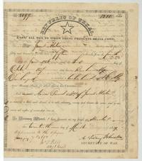 CertificateBounty certificate No. 8099 for 1280 acres to James Alston, served 4 June 1836 to 3 October 1837, issued at Houston 20 March 1839 by A. Sidney Johnston; approved to the assignee 7 January 1850.General Land Office, file 392, page 2 · in the scan
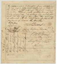 Back of the certificateAaron Burns, assignee, transfers the certificate to Arthur Conrey at Houston, 21 March 1839, before Notary W. F. Gray, with Peter Gray witness.General Land Office, file 392, page 3 · in the scan
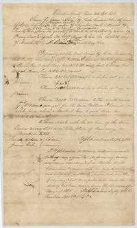 Field notesField notes for 1280 acres for James Alston on Chambers' Creek, about 5 1/2 miles NNW of Corsicana, surveyed 16 October 1840 by B. J. Chambers, declaration 8 November 1840.General Land Office, file 392, page 4 · in the scan
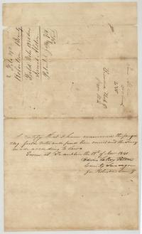 Surveyor's certificateEdwin LeRoy Patton examines the survey at Franklin on 19 November 1840; endorsement recorded Book B p. 122, patented January 1850.General Land Office, file 392, page 5 · in the scan
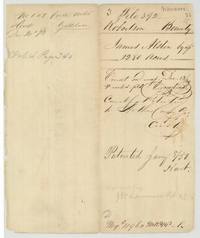 WrapperWrapper: James Alston by assignee, 1280 acres, correct on map 18 December 1849, correct for patenting to Arthur Conrey, patented 8 January 1850.General Land Office, file 392, page 6 · in the scan
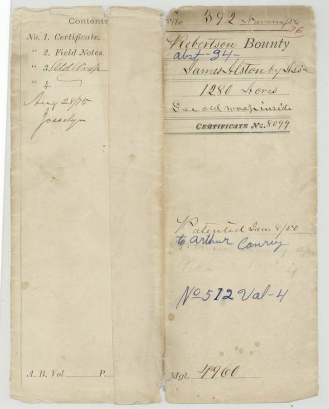
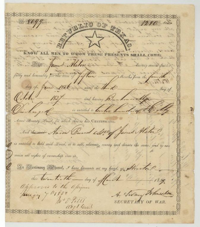
Scans courtesy of the Texas General Land Office, Austin, from its Land Grant Database.
Neighbouring surveys
Sources
- Texas General Land Office, Land Grant Database: Navarro County, Abstract 34
- The Land Office file, scanned (PDF, at the General Land Office)
- 1924 map: courtesy of the Texas General Land Office, Austin, Map 73249, used under licence. Topo: U.S. Geological Survey, The National Map. Aerial photographs: U.S. Department of Agriculture, National Agriculture Imagery Program, 2012, 2018 and 2022. Survey outlines: Railroad Commission of Texas, Original Texas Land Survey. Grant records and files: Texas General Land Office.