Blackland TX · ← All the original surveys
Ebenezer L. Folsome Survey, Abstract 280
- Granted to
- Ebenezer L. Folsome
- Kind of grant
- Headright, third classLand for later settlers, including the colonists of Mercer’s Colony.
- Land Office file
- Robertson 3rd class, file 3222
- Certificate
- No. 86
- Acres
- 320
- Patented to
- Ebenezer L. Folsome
- Patent
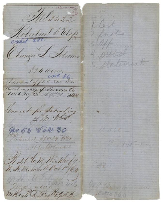
- 09 Apr 1860 · No. 53, Vol. 30
Tap a survey to open its page.
What the file shows
Ebenezer L. Folsom held a third-class headright certificate for 320 acres issued at Montgomery in 1842, located by Wm. H. Mitchell on Chambers Creek in Navarro County by J. M. Eliot in April 1857. The heirs of John Faith, through W. P. deNormandie, protested that Folsom had sold the certificate to Faith, but the patent issued on 9 April 1860 and was handed to Mitchell's agent on 1 October 1860.
The certificate
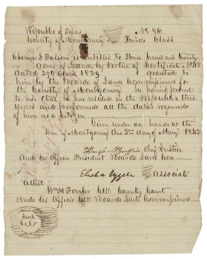
headright 3rd class (conditional certificate No. 48 converted to unconditional), No. 86 (on conditional certificate No. 48, 29 Apr 1839), 320 acres, Board of Land Commissioners for Montgomery County: Hugh M. Griffin(?) (or McGuffin(?)), Chief Justice and ex officio President; Elisha Uzzell(?), Associate; attested by Wm. S. Fowler(?), clerk of the county court and ex officio clerk of the Board, Montgomery, Republic of Texas, 2 May 1842.
Folsom proved he had resided in the Republic three years and performed all the duties required of him as a citizen
The survey
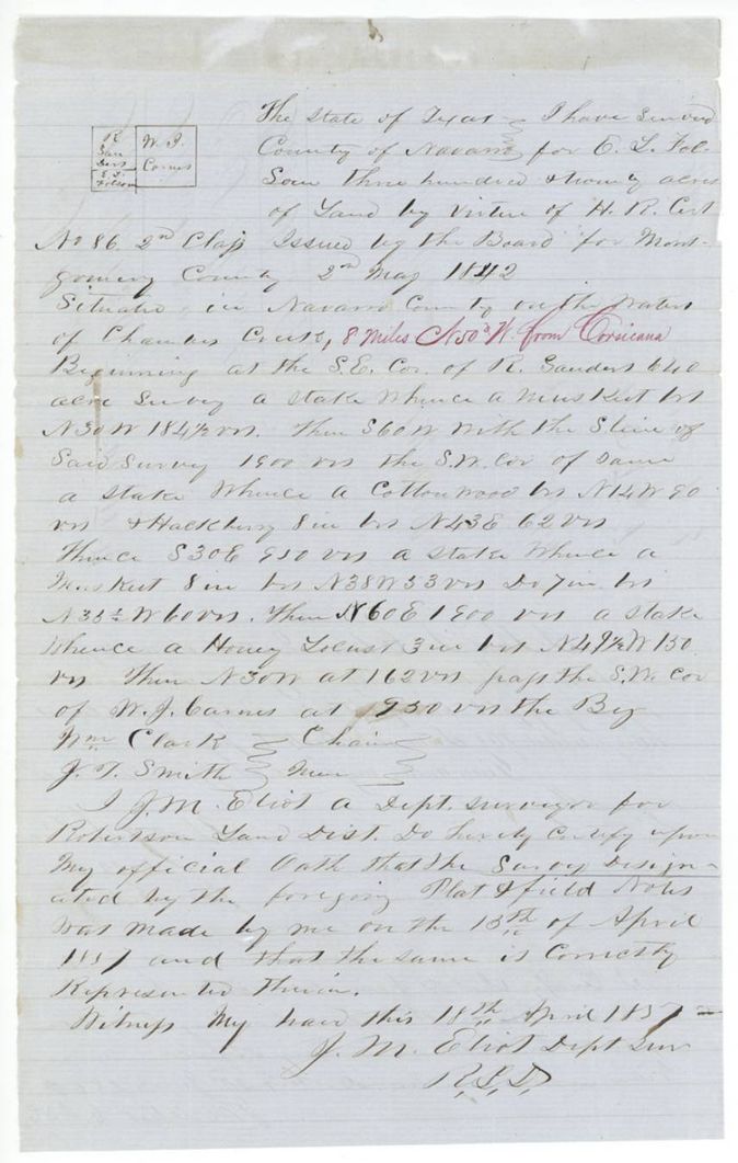
18 Apr 1857, J. M. Eliot, Deputy Surveyor, Robertson Land District.
Navarro County on the waters of Chambers Creek; red-ink addition: 8 miles N 50 W from Corsicana
Chain carriers: Wm. Clark, J. T. Smith.
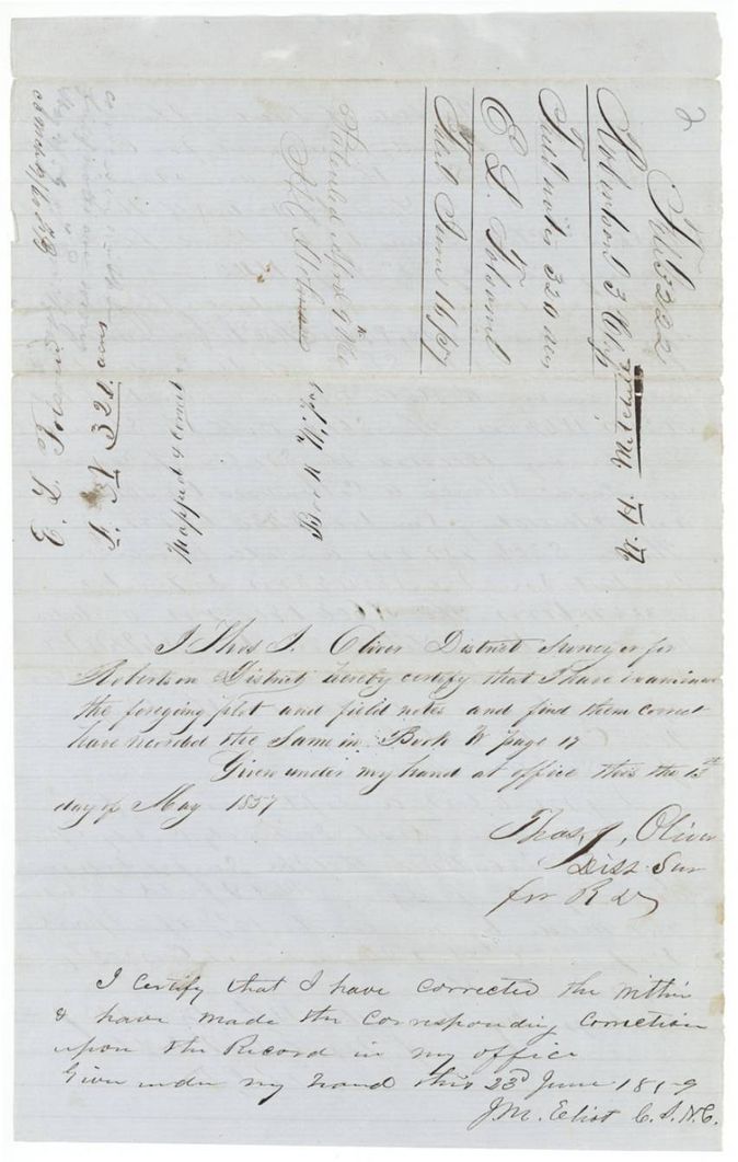
Book B, page 17
The patent
9 Apr 1860, No. 53, Vol. 30, to E. L. Folsom (index: Folsome, Ebenezer L), delivered to C. M. Winkler for W. H. Mitchell, 1 Oct 1860.
Also in the file
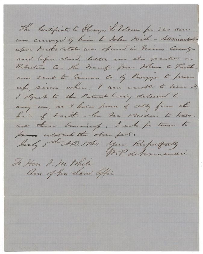
- Ownership dispute: W. P. deNormandie, claiming a power of attorney from the heirs of John Faith (widow and son), says Folsom conveyed the certificate to Faith and objects to the patent going to anyone else; the patent nevertheless issued in April 1860 and was delivered to W. H. Mitchell's agent in October 1860.
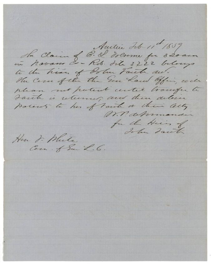
- The transfer Folsom to Faith is not in the file; deNormandie says it was sent to Grimes County to be proved and never returned, and the General Land Office was asked on 11 Feb 1859 to hold the patent until it was.
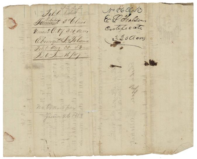
- No deed of transfer is in the file. W. P. deNormandie says Folsom conveyed the certificate to John Faith and that the deed went to Grimes County by Bazzya(?) to be proved; Wm. H. Mitchell, who applied for and received the patent, swore only that conditional certificate 48 was lost and that he himself never sold it. The wrapper of the certificate is endorsed 'No transfer June 26 1857'.
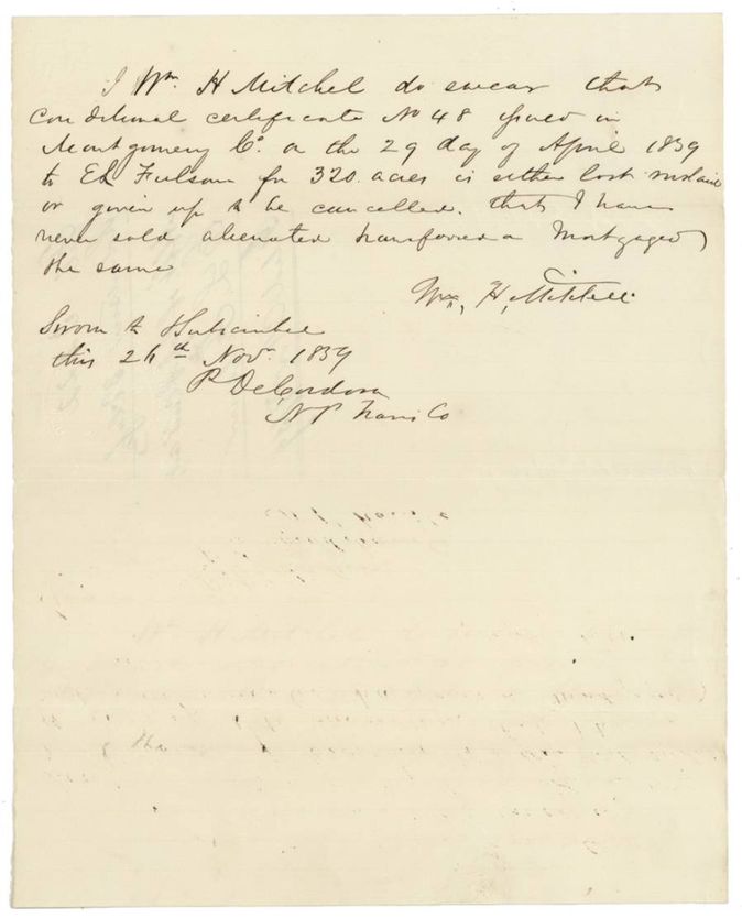
- Mitchell's 1859 affidavit swears conditional certificate No. 48 is lost or given up and that he never alienated it, but the file does not show how Mitchell came to hold Folsom's certificate.
- Name spelled Folsom, Falsom, Fulsom and Folsome throughout; the index uses Folsome.
- Wrapper figure of 321 acres on page 7 against 320 on the certificate and index.
- Field notes call the certificate 2nd (?) class in the text while the certificate itself is third class.
Timeline
- 29 Apr 1839Conditional certificate No. 48 granted to E. L. Folsom by Montgomery County Board of Land Commissioners
- 2 May 1842Third-class certificate No. 86 for 320 acres issued at Montgomery
- 30 Aug 1853Certificate first filed in the General Land Office as unlocated
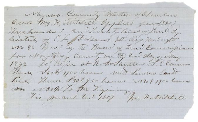
- 2 Mar 1857Wm. H. Mitchell applies to locate it on Chambers Creek
- 18 Apr 1857J. M. Eliot surveys the 320 acres
- 13 May 1857Thos. J. Oliver examines and records survey, Book B p. 17
- 11 Jun 1857Field notes filed in the General Land Office
- 11 Feb 1859W. P. deNormandie writes that the claim belongs to the heirs of John Faith
- 23 Jun 1859Eliot corrects the field notes
- 26 Nov 1859Mitchell swears the conditional certificate is lost or given up
- 20 Mar 1860Marked correct on the map of Navarro County
- 9 Apr 1860Patent No. 53 Vol. 30 issued
- 5 Jul 1860DeNormandie files formal protest against delivery
- 1 Oct 1860Patent received by C. M. Winkler for W. H. Mitchell
The papers in the file
Every page of the Land Office file, in the order the Land Office keeps them (13 pages). Tap a page to see it larger.
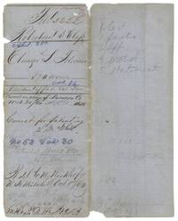 File jacketFile jacket for E. L. Folsome's 320 acres, Robertson 3rd class, patent No. 53 Vol. 30 dated 9 April 1860, received by Winkler for Mitchell 1 October 1860.General Land Office, file 3222, page 1 · in the scan
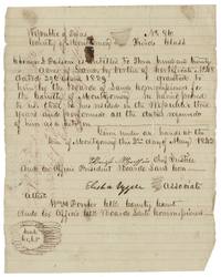 CertificateMontgomery County third-class certificate No. 86 for 320 acres to Ebenezer L. Folsom, 2 May 1842, based on conditional certificate 48 of 1839.General Land Office, file 3222, page 2 · in the scan
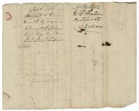 Back of the certificateWrapper of the certificate, filed 1853 and 1857, marked 'No transfer June 26 1857'.General Land Office, file 3222, page 3 · in the scan
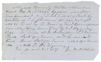 Other papersWm. H. Mitchell applies for 320 acres on Folsom's headright No. 86, beginning at R. Sanders' SE corner.General Land Office, file 3222, page 4 · in the scan
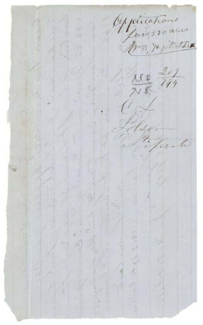
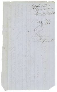 WrapperBack of the application, labelled 'Applications for 320 acres, Wm. H. Mitchell', Folsom certificate.General Land Office, file 3222, page 5 · in the scan
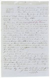 Field notesField notes of J. M. Eliot for 320 acres on Chambers Creek, 8 miles N 50 W of Corsicana, with small plat.General Land Office, file 3222, page 6 · in the scan
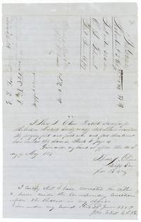 Surveyor's certificateThos. J. Oliver's examination of the field notes, Book B p. 17, 13 May 1857, with County Surveyor Eliot's correction of 23 June 1859.General Land Office, file 3222, page 7 · in the scan
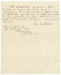 AffidavitWm. H. Mitchell swears conditional certificate No. 48 of 1839 to E. L. Folsom is lost or given up and was never sold.General Land Office, file 3222, page 8 · in the scan
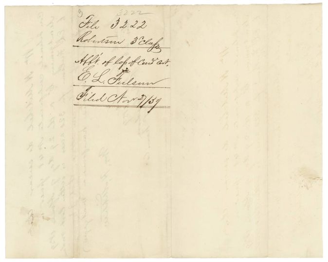
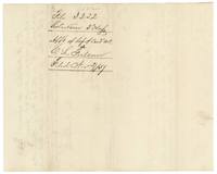 WrapperWrapper for Mitchell's affidavit of loss of the conditional certificate, filed 27 November 1859.General Land Office, file 3222, page 9 · in the scan
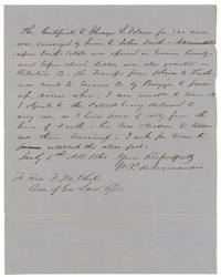 LetterW. P. deNormandie protests delivery of the patent, saying Folsom conveyed the certificate to John Faith and he holds the heirs' power of attorney.General Land Office, file 3222, page 10 · in the scan
 WrapperWrapper for deNormandie's protest against the patent being delivered, filed 6 July 1860.General Land Office, file 3222, page 11 · in the scan
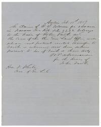 LetterDeNormandie tells Land Commissioner White that Folsom's claim belongs to the heirs of John Faith and asks that the patent be held.General Land Office, file 3222, page 12 · in the scan
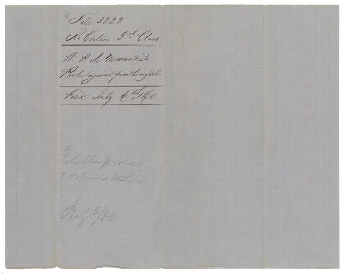
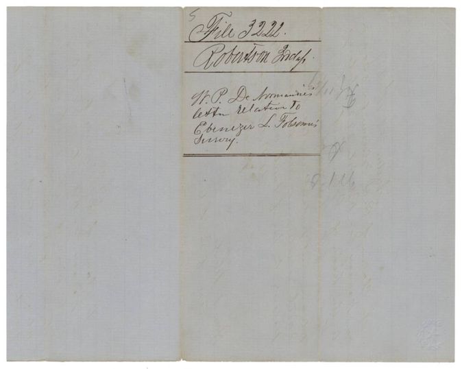
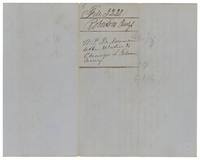 WrapperWrapper for deNormandie's letter relative to Ebenezer L. Folsom's survey.General Land Office, file 3222, page 13 · in the scan
Scans courtesy of the Texas General Land Office, Austin, from its Land Grant Database.
Neighbouring surveys
Sources
- Texas General Land Office, Land Grant Database: Navarro County, Abstract 280
- The Land Office file, scanned (PDF, at the General Land Office)
- 1924 map: courtesy of the Texas General Land Office, Austin, Map 73249, used under licence. Topo: U.S. Geological Survey, The National Map. Aerial photographs: U.S. Department of Agriculture, National Agriculture Imagery Program, 2012, 2018 and 2022. Survey outlines: Railroad Commission of Texas, Original Texas Land Survey. Grant records and files: Texas General Land Office.