Blackland TX · ← All the original surveys
William J. Carnes Survey, Abstract 189
- Granted to
- William J. Carnes
- Kind of grant
- Bounty warrantLand paid for service in the army of the Republic.
- Land Office file
- Robertson Bounty, file 70
- Certificate
- No. 6082
- Acres
- 1280
- Patented to
- John Lockhart
- Patent
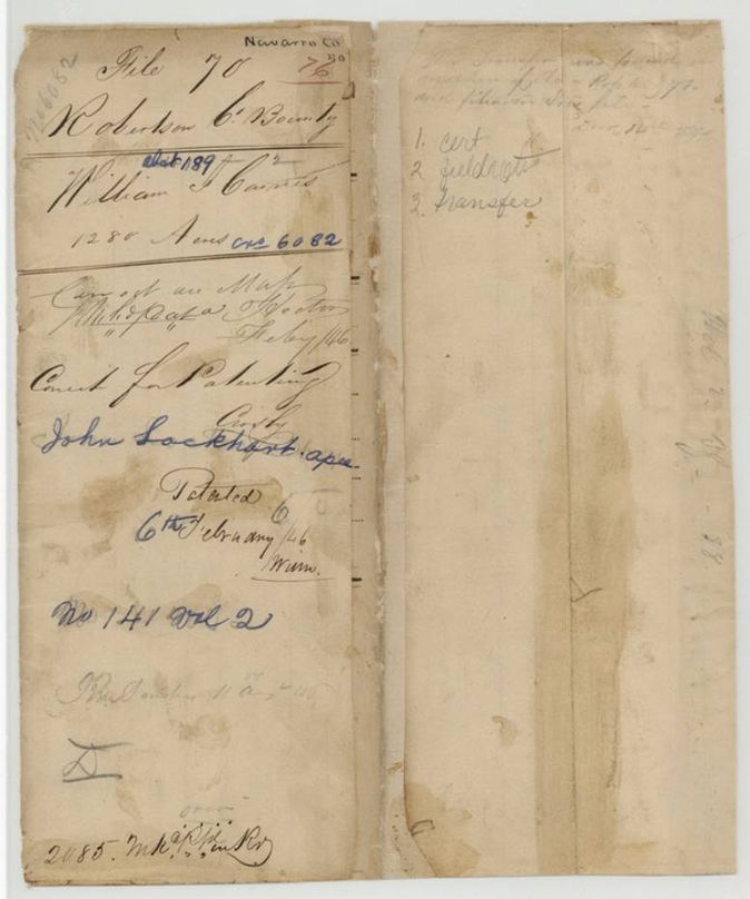
- 06 Feb 1846 · No. 141, Vol. 2
Tap a survey to open its page.
What the file shows
William J. Cairns was honorably discharged from Texas army service in January 1839 and received bounty certificate No. 6082 for 1280 acres. He sold it to John Lockhart in Harrisburg County that year. Deputy Surveyor B. J. Chambers located the land on Chambers Creek in October 1840, and the patent issued to Lockhart as assignee in February 1846.
The certificate
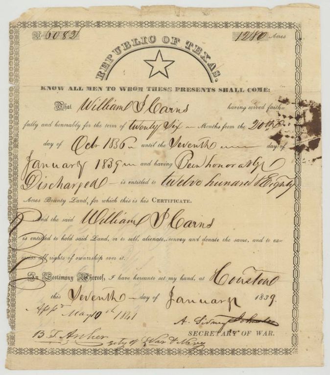
bounty land certificate (Republic of Texas army service), No. 6082, 1280 acres, A. Sidney Johnston, Secretary of War; approved by B. T. Archer, Secretary of War and Navy, 10 May 1841, Houston, 7 Jan 1839.
William J. Cairns (Carns) served faithfully and honorably for twenty-six months from 20(?) Oct 1836 until 7 Jan 1839 and was honorably discharged; entitled to 1280 acres bounty land, to hold, sell, alienate, convey and donate.
Changes of hand
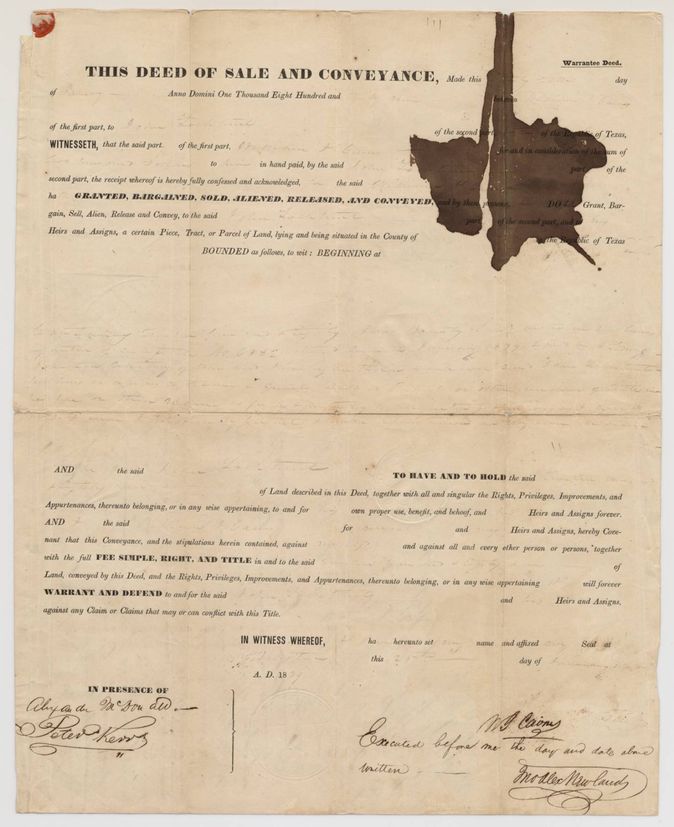
- 1839-01-25(?) (printed deed, filled in faintly)William J. Cairns (Carnes) → John Lockhart, of the Republic of Texas, $200(?) ('two hundred dollars'), Houston, Harrisburg County, Republic of Texas. Printed warrantee deed conveying the 1280 acres granted by certificate No. 6082 dated 7 Jan 1839; recorded in Harrisburg County Record of Deeds, page 387, 24 Jun 1839 at 10 o'clock, and certified by B. Christopher(?), Deputy Clerk, 29 Jun 1839
The survey
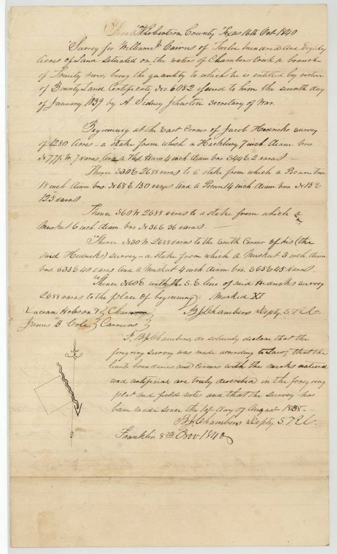
1840-10-16 (certified at Franklin 1840-11-08), B. J. Chambers, Deputy Surveyor, Robertson Land District (Deputy S.R.C.).
Robertson County, on the waters of Chambers Creek, a branch of the Trinity River
Chain carriers: Lucian Hobson, James B. Cole.
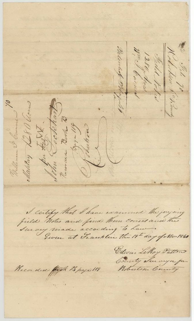
Book B, page 119
The patent
6 Feb 1846, No. 141, Vol. 2, to John Lockhart, assignee, delivered to not stated.
Also in the file
- Grantee spelled Cairns, Carns, Carnes, Cairnes in different papers.
- The deed is dated January 1839 (day uncertain), apparently the same month the certificate issued on 7 Jan 1839, but was acknowledged only on 24 June 1839 and recorded in Harrisburg County.
- The survey was run in Robertson County in October 1840 on a certificate sold to John Lockhart, and the patent issued in 1846 to Lockhart as assignee.
- The transfer was loose and was found among other papers and filed later, per the slip on the contents list.
- Index matches: patent 6 Feb 1846, No. 141, Vol. 2, 1280 acres, certificate 6082.
Timeline
- 20 Oct 1836William J. Cairns's twenty-six-month service begins (day uncertain)
- 7 Jan 1839Bounty certificate No. 6082 for 1280 acres issued at Houston; Cairns discharged
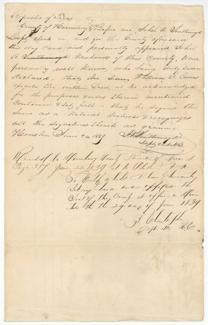
- 24 Jun 1839John A. Newlands proves Cairns's deed to John Lockhart before the Harrisburg County deputy clerk; filed and recorded p. 387
- 16 Oct 1840B. J. Chambers surveys 1280 acres on Chambers Creek
- 8 Nov 1840Chambers certifies the field notes at Franklin
- 19 Nov 1840County Surveyor examines and records the field notes, Book B p. 119
- 10 May 1841Certificate approved by B. T. Archer, Secretary of War and Navy
- 6 Feb 1846Patent No. 141, Vol. 2 to John Lockhart, assignee
The papers in the file
Every page of the Land Office file, in the order the Land Office keeps them (8 pages). Tap a page to see it larger.
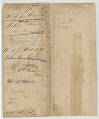 File jacketFile jacket for William J. Carnes's 1280-acre bounty certificate 6082, patented to John Lockhart, assignee, 6 February 1846, No. 141 Vol. 2.General Land Office, file 70, page 1 · in the scan
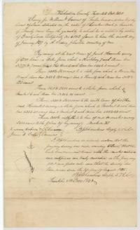 Field notesField notes and plat of 1280 acres for William J. Cairns on Chambers Creek by B. J. Chambers, 16 October 1840, chain carriers Lucian Hobson and James B. Cole.General Land Office, file 70, page 2 · in the scan
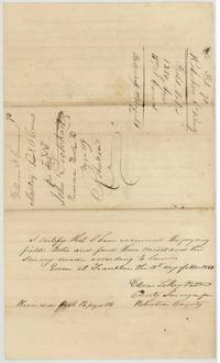 Surveyor's certificateCounty Surveyor of Robertson County examines the Cairns field notes at Franklin, 19 November 1840, recorded Book B page 119.General Land Office, file 70, page 3 · in the scan
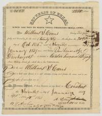 CertificateRepublic of Texas bounty certificate No. 6082 for 1280 acres to William J. Cairns, signed by A. Sidney Johnston at Houston, 7 January 1839.General Land Office, file 70, page 4 · in the scan
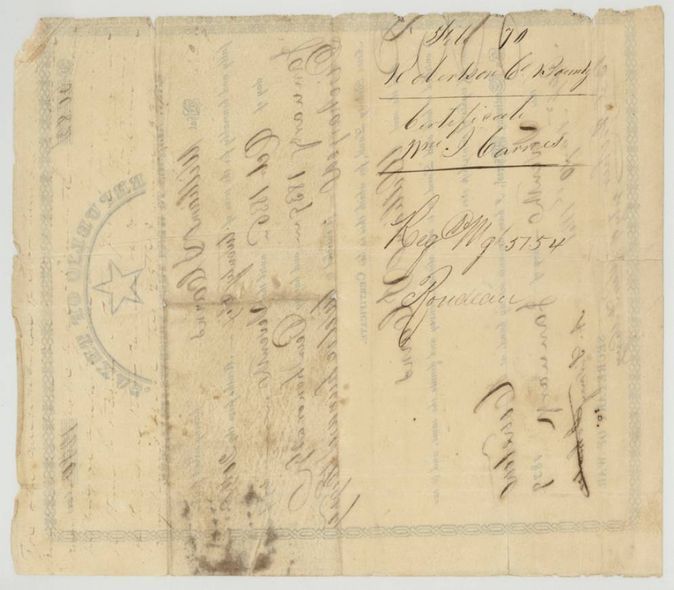
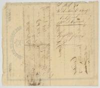 Back of the certificateBack of the certificate endorsed File 70 Robertson Co. Bounty, certificate Wm. J. Carnes, with register notes and a transfer note of 1839.General Land Office, file 70, page 5 · in the scan
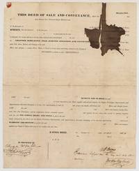 TransferPrinted warrantee deed in which William J. Cairns sells his 1280-acre certificate to John Lockhart for about $200, witnessed by Alexander McDowell(?) and Peter Kerr.General Land Office, file 70, page 6 · in the scan
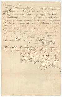 TransferJohn A. Newlands swears before Harrisburg County deputy clerk John A. Southmayd at Houston, 24 June 1839, that he saw Cairns execute the deed; recorded page 387.General Land Office, file 70, page 7 · in the scan
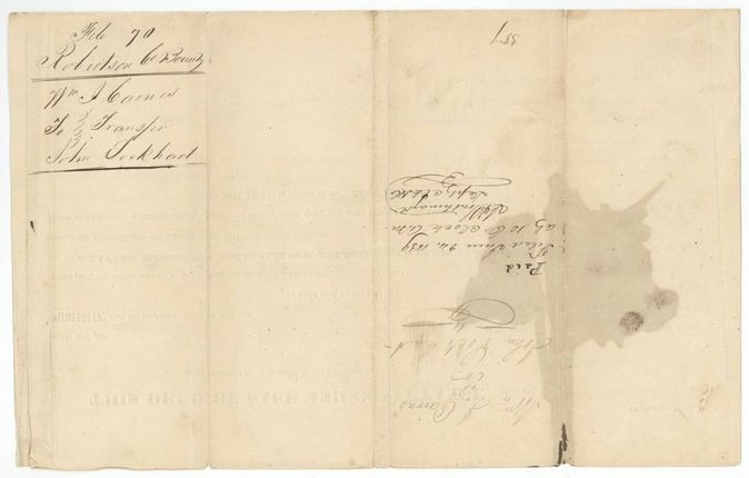
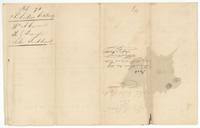 WrapperWrapper for the transfer Wm. J. Carnes to John Lockhart, with filing note 24 June 1839 at 10 o'clock and recording page 387.General Land Office, file 70, page 8 · in the scan
Scans courtesy of the Texas General Land Office, Austin, from its Land Grant Database.
Neighbouring surveys
Sources
- Texas General Land Office, Land Grant Database: Navarro County, Abstract 189
- The Land Office file, scanned (PDF, at the General Land Office)
- 1924 map: courtesy of the Texas General Land Office, Austin, Map 73249, used under licence. Topo: U.S. Geological Survey, The National Map. Aerial photographs: U.S. Department of Agriculture, National Agriculture Imagery Program, 2012, 2018 and 2022. Survey outlines: Railroad Commission of Texas, Original Texas Land Survey. Grant records and files: Texas General Land Office.