Blackland TX · ← All the original surveys
Charles Covington Survey, Abstract 145
- Granted to
- Charles Covington
- Kind of grant
- Headright, first classLand for settlers who were in Texas before independence, 2 March 1836.
- Land Office file
- Robertson 1st class, file 130
- Certificate
- No. 247
- Acres
- 4605.50
- Patented to
- Charles Covington
- Patent
- 27 Jul 1844 · No. 149, Vol. 2
Tap a survey to open its page.
What the file shows
Charles Covington proved before the Washington County Land Board in February 1838 that he was a 1832 settler and head of a family, entitling him to a league and labor (4605.5 acres). Deputy surveyor B. J. Chambers surveyed it in October 1840 on Chambers' and Cummins' Creeks, in what was then Robertson County, and the patent issued to Covington on 27 July 1844 once the government dues were paid.
The certificate
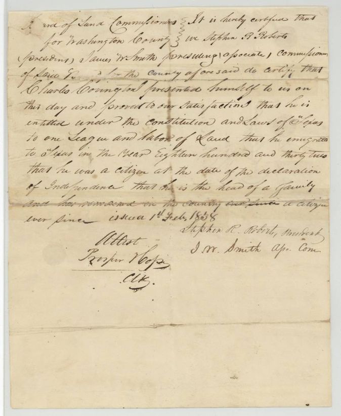
headright 1st class, one league and labor, No. 247, 4605.50 (one league and labor, 26 labors), Board of Land Commissioners for Washington County; Stephen R. Roberts, President, and J. W. Smith, Associate Commissioner; attested by Prosper Hope(?), Clerk, Washington County (Washington-on-the-Brazos), 1 Feb 1838.
Charles Covington proved to the Board's satisfaction that he is entitled under the Constitution and laws of Texas to one league and labor of land: he emigrated to Texas in 1832, was a citizen at the date of the declaration of independence, is the head of a family, and has resided in the country as a citizen ever since
The survey
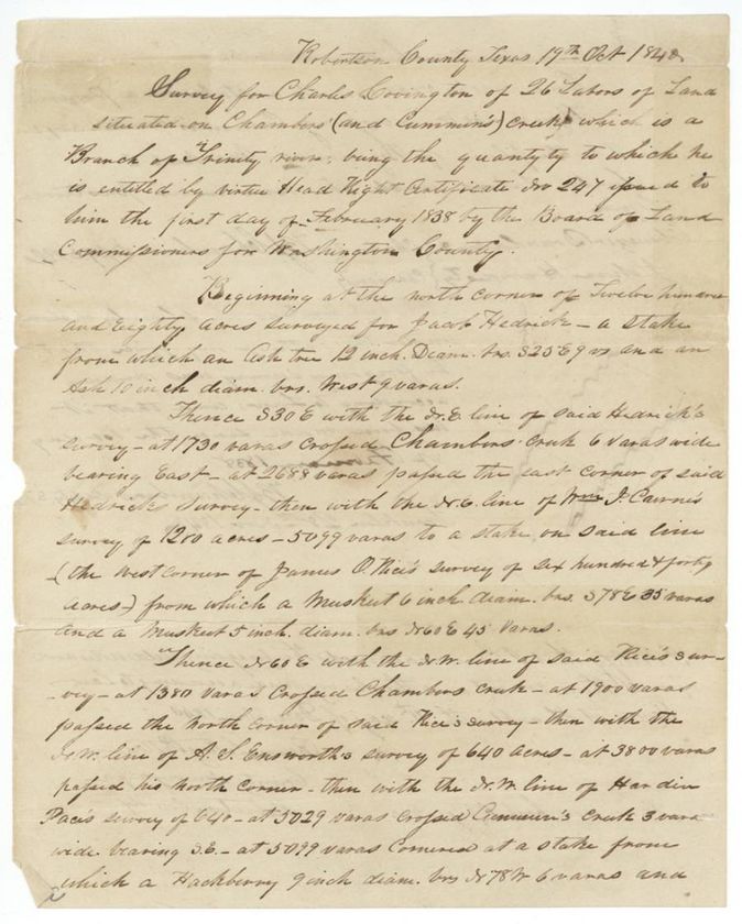
1840-10-17 (declared 1840-11-28; examined 1840-12-11), B. J. Chambers, Deputy Surveyor, Robertson (Franklin).
Robertson County (now Navarro County), on Chambers' (and Cummins') Creek, a branch of the Trinity River
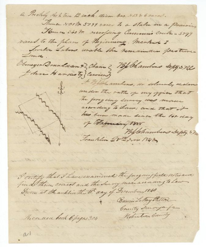
Chain carriers: Ebenezer Donnaldson(?), John Hardesty.
Book C, page 304
The patent
27 Jul 1844, No. 149, Vol. 2, to Charles Covington, delivered to Charles Covington (note: 'Pat. del'd July 27/44 to Charles Covington').
Also in the file
- Index and field notes agree on one league and labor (26 labors = 4605.5 acres), the largest grant in this reading batch.
- Land was surveyed under Robertson County and the county of the survey is 'Robertson'; the land is in what became Navarro County.
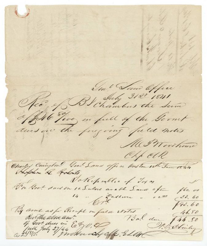
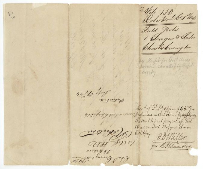
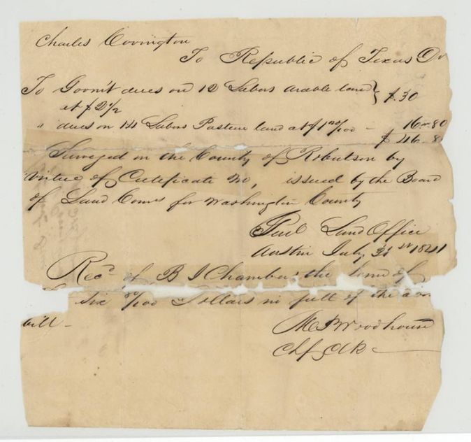
- The government dues receipt of 31 July 1841 ($46.80 paid by surveyor B. J. Chambers) was later refunded and re-applied to the dues on Joel Beggus' claim (6 Oct 1849), and the whole receipt marked 'cancelled by Capt. Crosby' - an unusual note on a patented file.
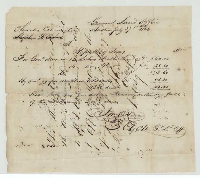
- The dues were computed at $2.50 and $1.20 per labor in the 1841 bill but at $5.00 and $2.40 in the 1844 bill, a doubling.
- The patent issued in July 1844 although the survey was done in October 1840, nearly four years earlier; the balance of the dues was paid in Treasury notes on 27 July 1844, the day of the patent.
Timeline
- 1832Covington says he emigrated to Texas
- 1 Feb 1838Washington County Board of Land Commissioners issues head-right certificate No. 247 for a league and labor
- 17 Oct 1840B. J. Chambers surveys 26 labors on Chambers' and Cummins' Creeks
- 28 Nov 1840Chambers declares survey correct at Franklin
- 11 Dec 1840County surveyor Patton examines the notes; recorded Book C p. 304
- 31 Jul 1841General Land Office receipts $46.80 from Chambers in part of the dues
- 12 Jun 1844Account of government dues drawn up, $93.60
- 27 Jul 1844Balance of $46.80 paid in Treasury notes; patent No. 149 Vol. 2 to Charles Covington delivered
- 6 Oct 1849The $46.80 paid in 1841 is refunded and applied to Joel Beggus' dues
The papers in the file
Every page of the Land Office file, in the order the Land Office keeps them (11 pages). Tap a page to see it larger.
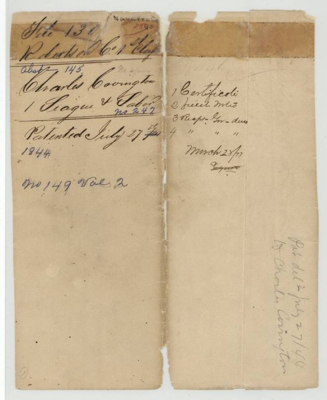
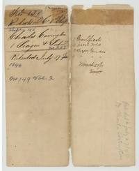 File jacketFile jacket 130, Robertson County 1st class, abstract 145, Charles Covington, one league and labor, patented 27 July 1844 as No. 149 Vol. 2.General Land Office, file 130, page 1 · in the scan
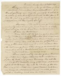 Field notesFirst page of the field notes for 26 labors for Charles Covington on Chambers' and Cummins' Creeks, surveyed by B. J. Chambers, Robertson County, 17 October 1840.General Land Office, file 130, page 2 · in the scan
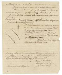 Field notesClose of the field notes with sketch, Chambers' oath of 28 November 1840 and county surveyor Patton's certificate of 11 December 1840, recorded Book C page 304.General Land Office, file 130, page 3 · in the scan
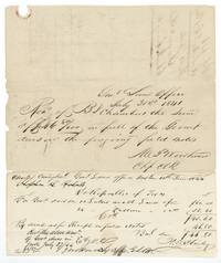 Other papersLand Office receipt of 31 July 1841 for $46.80 from B. J. Chambers, and a 12 June 1844 dues account of $93.60 receipted in full 27 July 1844.General Land Office, file 130, page 4 · in the scan
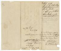 WrapperBack of the field notes: wrapper with note that the $46.80 receipt was cancelled and refunded 6 October 1849, and 'Patented July 27/44'.General Land Office, file 130, page 5 · in the scan
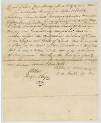 CertificateWashington County Board of Land Commissioners certificate that Charles Covington, a 1832 settler and head of a family, is entitled to a league and labor, issued 1 February 1838.General Land Office, file 130, page 6 · in the scan
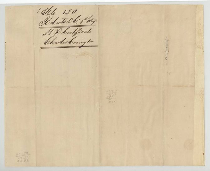
 Back of the certificateBack of the certificate, docketed File 130 Robertson Co. 1st class, H. R. Certificate, Charles Covington, with pencil sums.General Land Office, file 130, page 7 · in the scan
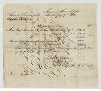 Other papersGeneral Land Office account of 27 July 1844: dues of $93.60 on 12 labors arable and 14 labors pasture, balance of $46.80 received in Treasury notes.General Land Office, file 130, page 8 · in the scan
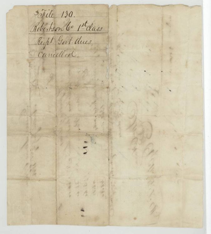
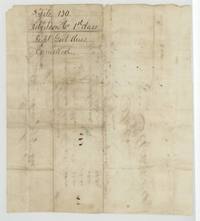 WrapperBack of the 1844 account, docketed File 130, Robertson Co. 1st class, 'Recpt. Govt. dues cancelled'.General Land Office, file 130, page 9 · in the scan
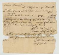 Other papersAccount of Charles Covington's government dues of $46.80 on 26 labors, receipted by the General Land Office from B. J. Chambers on 31 July 1841.General Land Office, file 130, page 10 · in the scan
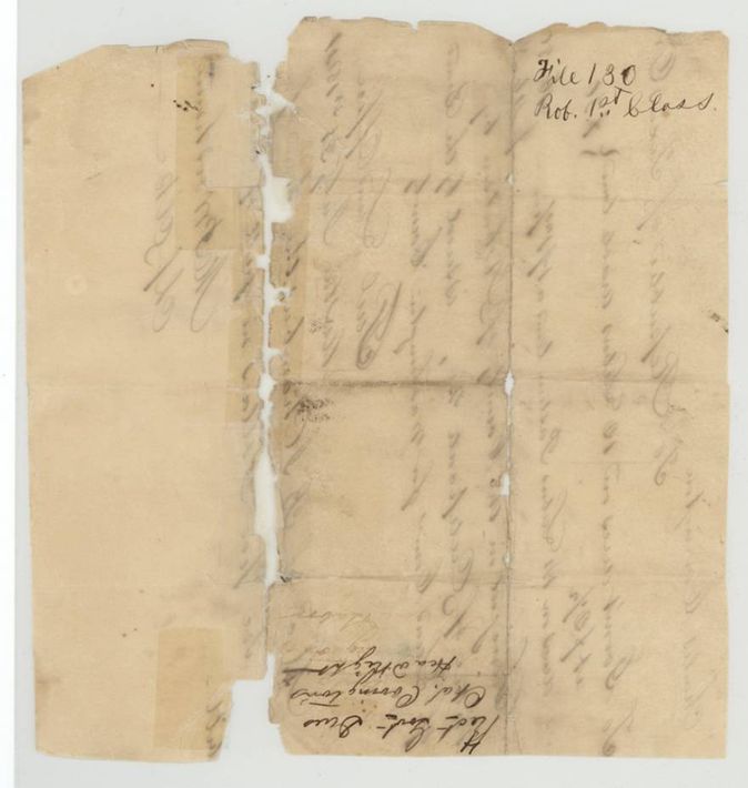
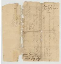 WrapperBack of the 1841 receipt, docketed File 130 Rob. 1st class, 'Rect. Govt. dues, Chas. Covington'.General Land Office, file 130, page 11 · in the scan
Scans courtesy of the Texas General Land Office, Austin, from its Land Grant Database.
Neighbouring surveys
Sources
- Texas General Land Office, Land Grant Database: Navarro County, Abstract 145
- The Land Office file, scanned (PDF, at the General Land Office)
- 1924 map: courtesy of the Texas General Land Office, Austin, Map 73249, used under licence. Topo: U.S. Geological Survey, The National Map. Aerial photographs: U.S. Department of Agriculture, National Agriculture Imagery Program, 2012, 2018 and 2022. Survey outlines: Railroad Commission of Texas, Original Texas Land Survey. Grant records and files: Texas General Land Office.