Blackland TX · ← All the original surveys
George W. Meazel Survey, Abstract 554
- Granted to
- George W. Meazel
- Kind of grant
- Headright, third classLand for later settlers, including the colonists of Mercer’s Colony.
- Land Office file
- Robertson 3rd class, file 2685
- Acres
- 320
- Patented to
- Thomas R. Kellum
- Patent
- 19 Dec 1856 · No. 798, Vol. 13
Tap a survey to open its page.
What the file shows
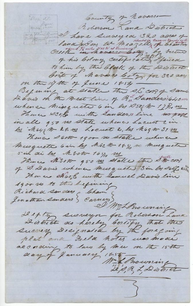
George W. Meazell received a 320-acre Mercer's Colony certificate from the Navarro County district court in June 1854, and within days sold it through William Parmer to Thomas R. Kellum. Deputy surveyor Wm. L. Browning located it on Chambers Creek about 7 1/2 miles northwest of Corsicana in January 1855, and it was patented to Kellum as assignee on 19 December 1856.
The certificate
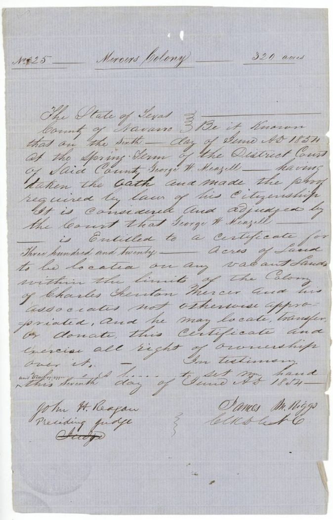
Mercer's Colony certificate (3rd class), No. 25, 320 acres, District Court of Navarro County, Spring Term; John H. Reagan, Presiding Judge; attested James M. Riggs, Clerk of the District Court, Navarro County, Texas, 1854-06-06 (signed 1854-06-07).
Having taken the oath and made the proof required by law of his citizenship, George W. Meazell is adjudged entitled to a certificate for 320 acres to be located on any vacant land within the limits of the colony of Charles Fenton Mercer and his associates, and he may locate, transfer or donate the certificate
Changes of hand
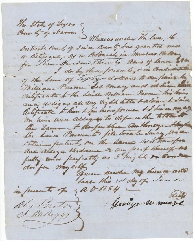
- 1 Jun 1854George W. Meazell → William Parmer, $50, Navarro County, Texas. Meazell assigns all right, title and claim in his Mercer's Colony certificate for 320 acres and authorizes Parmer to file, survey, patent or transfer it
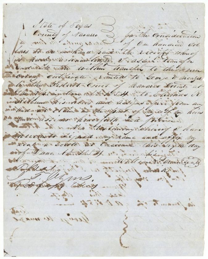
- 1854-06-06(?) (deed reads 'this Sixth(?) day of June 1854'; the notary's acknowledgment calls it dated 8 June 1854)William Parmer, by his mark → Thomas R. Kellum, $100, Corsicana, Navarro County. Parmer transfers the Mercer's Colony certificate granted to Meazell at the Spring Term 1854 to Thomas R. Kellum, his heirs and assigns
The survey
15 Jan 1855, Wm. L. Browning, Deputy Surveyor, Robertson Land District.
Navarro County, on the waters of Chambers Creek, about 7 1/2 miles N 48 W of Corsicana (added in red ink)
Chain carriers: Richard Sanders, Jonathan Sanders.
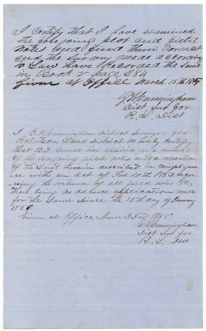
Book V, page 284
The patent
19 Dec 1856, No. 798, Vol. 13, to Thomas R. Kellum, assignee, delivered to forwarded to Wm. Craft (Croft?), Dec 30/56.
Also in the file
- The Meazell-to-Parmer transfer is dated 1 June 1854, five days before the district court adjudged him entitled to the certificate on 6 June 1854.
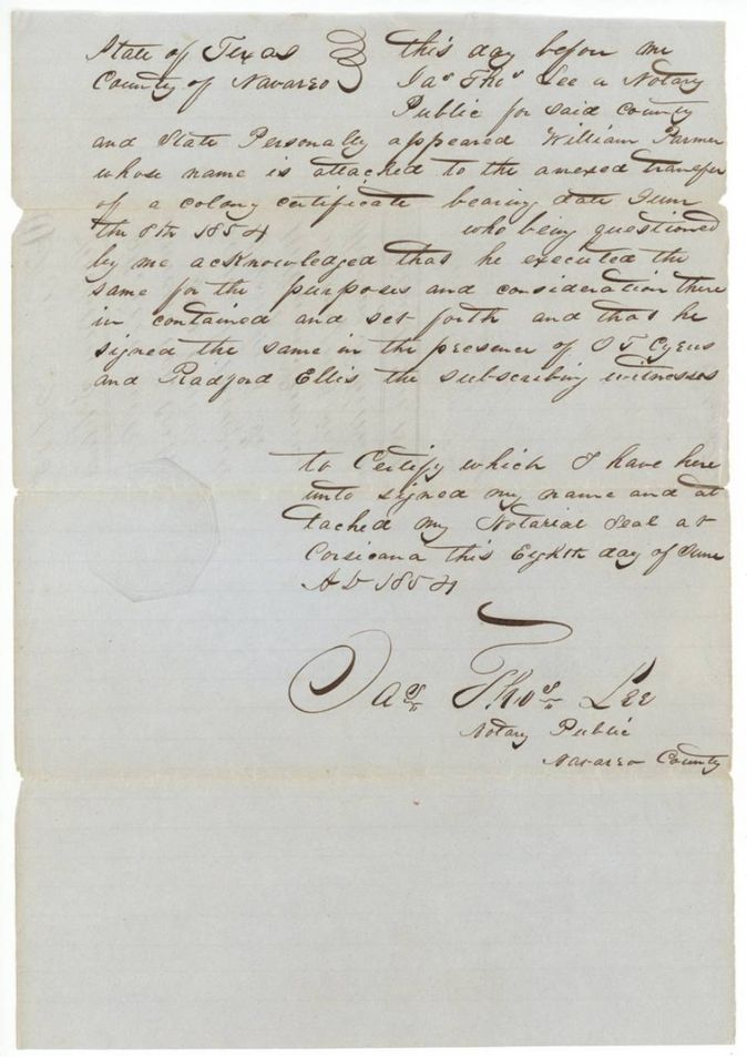
- The Parmer-to-Kellum transfer is written at Corsicana 'this Sixth(?) day of June 1854', but the notary's acknowledgment of 8 June describes it as bearing date 8 June 1854.
- Surname spelled Meazell, Meazel, Meazle; Kellum/Kellam.
- The field notes were renewed on 23 June 1856 for B. D. Gerrell(?) under the act of 10 Feb 1852, but the patent went to Kellum.
- Index says patent date 19 Dec 1856, number 798 Vol. 13, 320 acres - agrees with the file.
- The Meazell deed recites that the district court 'has granted me a certificate', though it is dated 1 June, before the 6 June judgment.
Timeline
- 1 Jun 1854Meazell sells his colony certificate to William Parmer for $50
- 6 Jun 1854Navarro County District Court adjudges Meazell entitled to a 320-acre Mercer's Colony certificate
- 7 Jun 1854Certificate No. 25 signed by Judge John H. Reagan and clerk James M. Riggs
- 6 Jun 1854Parmer sells certificate to Thomas R. Kellum for $100 (deed date 'Sixth'(?); notary says 8 June)
- 8 Jun 1854Notary Jas. Thos. Lee takes proof of both transfers at Corsicana
- 15 Jan 1855Wm. L. Browning surveys 320 acres on Chambers Creek
- 15 Mar 1855G. H. Cunningham examines notes, recorded Book V p. 284
- 23 Jun 1856Field notes renewed for relocation
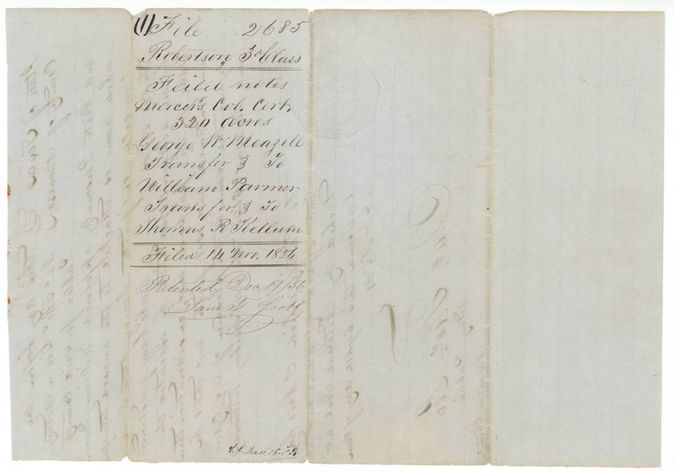
- 14 Nov 1856Papers filed in the General Land Office
- 12 Dec 1856Checked correct on map by C. W. Pressler
- 19 Dec 1856Patent No. 798 Vol. 13 to Thomas R. Kellum, assignee
The papers in the file
Every page of the Land Office file, in the order the Land Office keeps them (11 pages). Tap a page to see it larger.
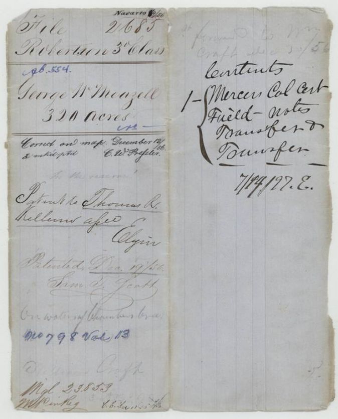
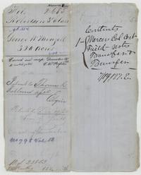 File jacketFile jacket for George W. Meazell's 320 acres, patented to Thomas R. Kellum, assignee, 19 Dec 1856, No. 798 Vol. 13.General Land Office, file 2685, page 1 · in the scan
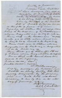 Field notesField notes of 320 acres for Geo. W. Meazell on Chambers Creek, surveyed by Wm. L. Browning, chain carriers Richard and Jonathan Sanders.General Land Office, file 2685, page 2 · in the scan
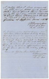 Surveyor's certificateG. H. Cunningham records the field notes in Book V page 284 on 15 March 1855 and certifies a renewal and relocation on 23 June 1856.General Land Office, file 2685, page 3 · in the scan
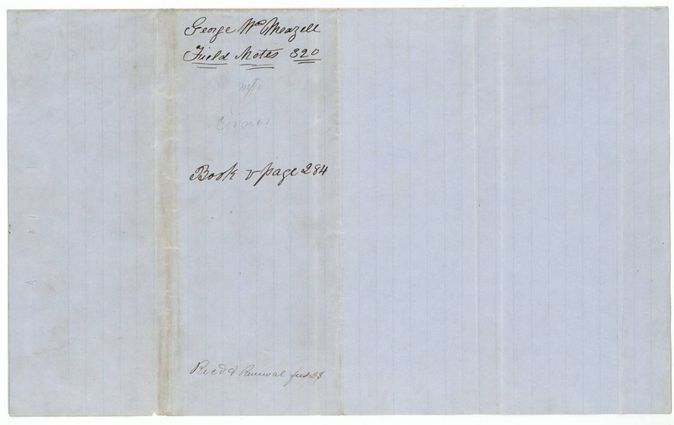
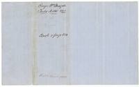 WrapperWrapper for Meazell's 320-acre field notes marked Book V page 284, received for renewal.General Land Office, file 2685, page 4 · in the scan
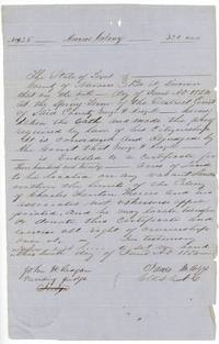 CertificateMercer's Colony certificate No. 25 for 320 acres to George W. Meazell from the Navarro County District Court, 6-7 June 1854.General Land Office, file 2685, page 5 · in the scan
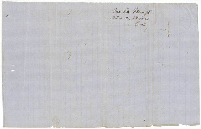
 Back of the certificateBack of the certificate docketed 'Geo. W. Meazell 320 a. Mercer's Colony'.General Land Office, file 2685, page 6 · in the scan
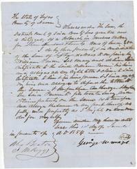 TransferMeazell sells his colony certificate to William Parmer for $50, witnessed by Alex Beaton and J. M. Riggs.General Land Office, file 2685, page 7 · in the scan
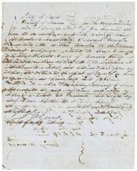 TransferWilliam Parmer, by his mark, sells the Meazell certificate to Thomas R. Kellum for $100 at Corsicana.General Land Office, file 2685, page 8 · in the scan
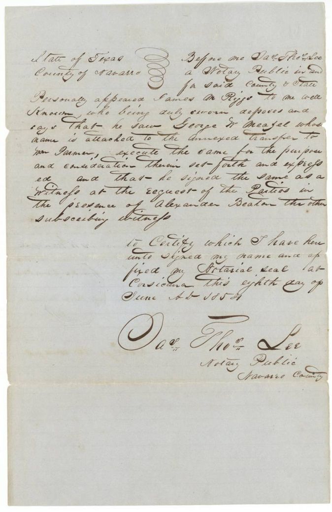
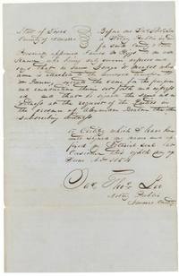 AffidavitNotary Jas. Thos. Lee records James M. Riggs's oath that he saw Meazell sign the transfer to Parmer.General Land Office, file 2685, page 9 · in the scan
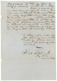 AffidavitNotary Jas. Thos. Lee records William Parmer's acknowledgment of the transfer, witnessed by O. F. Cyrus(?) and Radford Ellis.General Land Office, file 2685, page 10 · in the scan
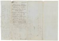 WrapperWrapper for the transfers: filed 14 Nov 1856 and patented Dec 19/56 for Meazell's Mercer's Colony certificate.General Land Office, file 2685, page 11 · in the scan
Scans courtesy of the Texas General Land Office, Austin, from its Land Grant Database.
Neighbouring surveys
Sources
- Texas General Land Office, Land Grant Database: Navarro County, Abstract 554
- The Land Office file, scanned (PDF, at the General Land Office)
- 1924 map: courtesy of the Texas General Land Office, Austin, Map 73249, used under licence. Topo: U.S. Geological Survey, The National Map. Aerial photographs: U.S. Department of Agriculture, National Agriculture Imagery Program, 2012, 2018 and 2022. Survey outlines: Railroad Commission of Texas, Original Texas Land Survey. Grant records and files: Texas General Land Office.