Blackland TX · ← All the original surveys
Samuel Davis Survey, Abstract 225
- Granted to
- Samuel Davis
- Kind of grant
- Headright, third classLand for later settlers, including the colonists of Mercer’s Colony.
- Land Office file
- Robertson 3rd class, file 780
- Certificate
- No. 93
- Acres
- 320
- Patented to
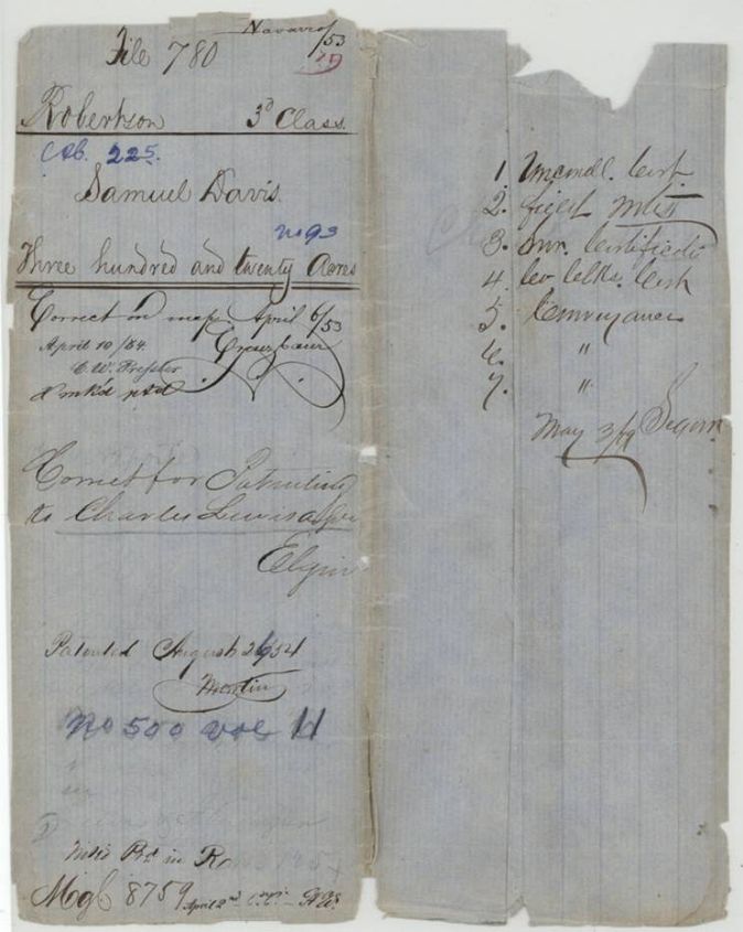
- Charles Lewis
- Patent
- 26 Aug 1854 · No. 500, Vol. 11
Tap a survey to open its page.
What the file shows
Samuel Davis, aged 17 before 1842, drew a 320-acre unconditional headright certificate from the Sabine County land board in March 1844. He sold it to Spencer Ashmore in 1848 ($25), who sold it to Emanuel Lagroane in 1850 ($50), who in December 1853 sold it to Charles Lewis of Rusk County, stating the certificate was lost. Deputy Surveyor Wm. L. Browning located it on Chambers Creek in Navarro County in February 1853 and the patent issued to Lewis in August 1854.
The certificate
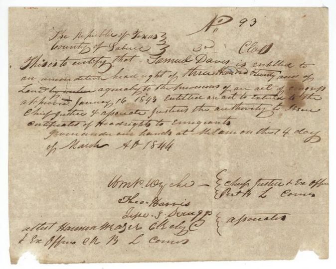
headright 3rd class, unconditional, No. 93 (No. 93, 3rd Class), 320 acres, Board of Land Commissioners of Sabine County: Wm. R.(?) Wyche(?), Chief Justice and ex officio President B.L.Comrs; Theo. Harris and Jesse(?) S. Scruggs(?), associates; attested by Harmon Mazer(?), clerk and ex officio clerk B.L.Comrs, Milam, Sabine County, 4 Mar 1844.
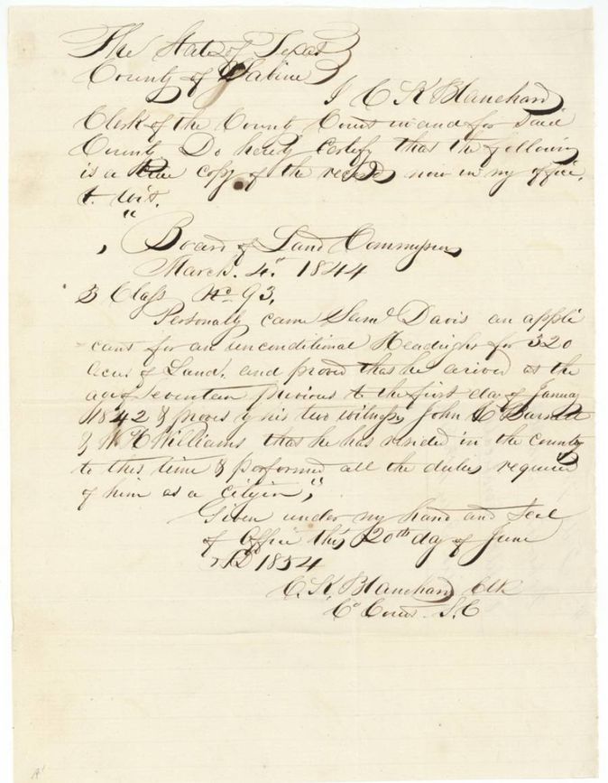
Under the act of 16 Jan 1843 (Republic of Texas). The certified board minute says Sam'l Davis proved that he arrived at the age of seventeen previous to 1 Jan 1842 and, by his two witnesses John C. Bassett(?) and W. H. Williams, that he had resided in the county and performed all duties required of a citizen.
Changes of hand
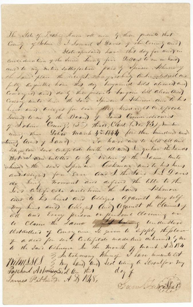
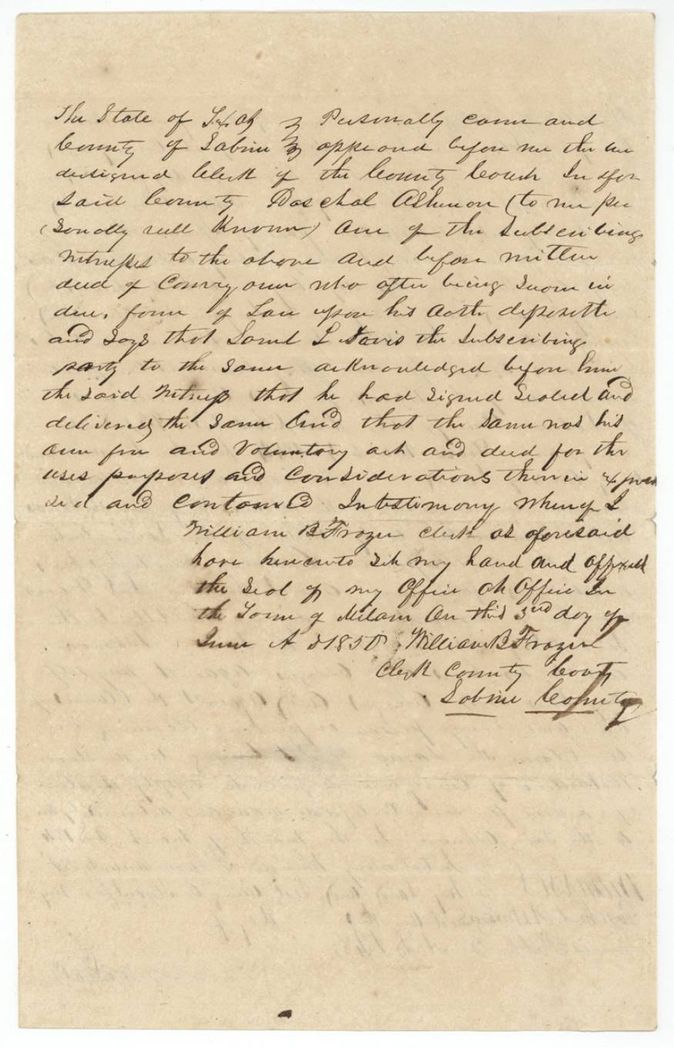
- 1848 (day and month left blank; deed says it replaces an earlier deed made in March 184_)Samuel L. Davis, of Sabine County → Spencer Ashmore, of Sabine County, $25, Sabine County, Texas. Sells the headright certificate No. 93, 3rd class, dated 4 Mar 1844, for 320 acres; recites that it is given to replace a deed made and delivered in March 184_(?) which was lost
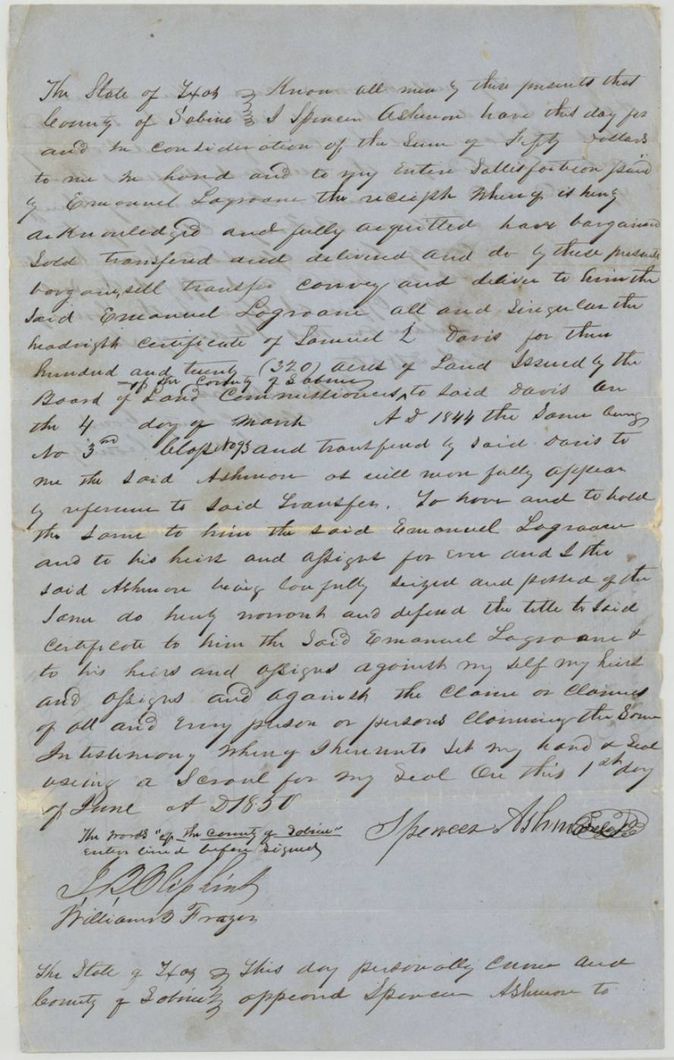
- 1 Jun 1850Spencer Ashmore, of Sabine County → Emanuel Lagroane (Lagrone), later of Harrison County, $50, Sabine County, Texas. Sells the headright certificate of Samuel L. Davis, 320 acres, No. 3rd class 93; the words 'of the County of Sabine' were interlined before signing
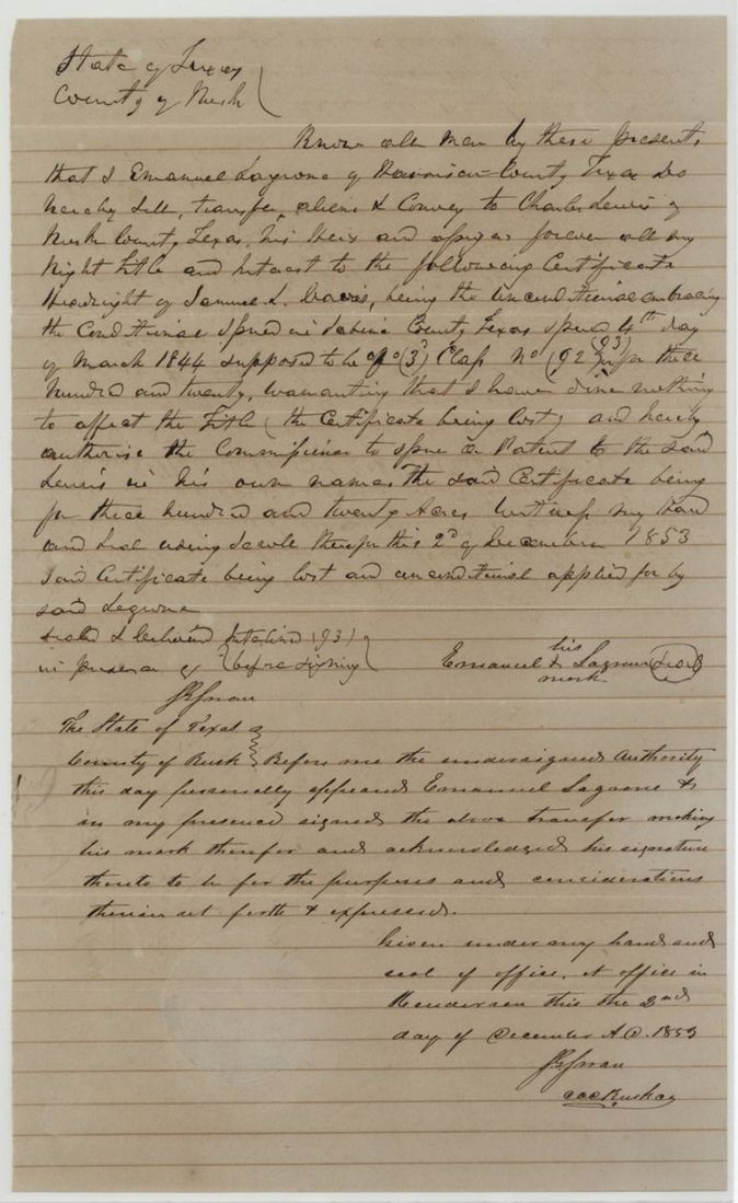
- 2 Dec 1853Emanuel Lagrone (his mark), of Harrison County → Charles Lewis, of Rusk County, Rusk County, Texas (acknowledged at Henderson). Conveys all right to the headright certificate of Samuel L. Davis, 'being the unconditional embracing the conditional' issued in Sabine County 4 Mar 1844, 'supposed to be of (3) Class No (92)' with (93) interlined; states the certificate is LOST and the unconditional was applied for by Lagrone; authorises the Commissioner to issue the patent to Lewis in his own name
The survey
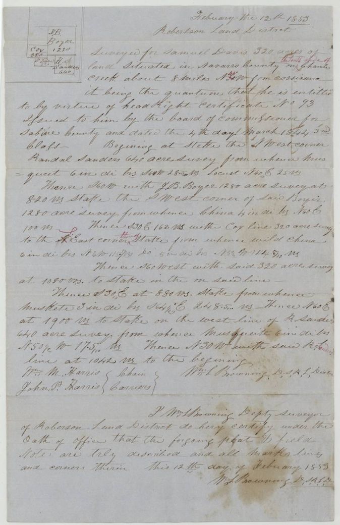
12 Feb 1853, Wm. L. Browning, Deputy Surveyor, Robertson Land District.
Navarro County, on the south side of Chambers Creek (red-ink insertion), about 8 miles N 45(?) W from Corsicana (the 45 written in red ink over the original bearing)
Chain carriers: Wm. M. Harris, John P. Harris.
Book N, page 207
The patent
26 Aug 1854, No. 500, Vol. 11, to Charles Lewis, assignee, delivered to not stated.
Also in the file
- Grantee is called Samuel Davis, Sam'l Davis and Samuel L. Davis in different papers.
- The first transfer says it replaces a deed already made and delivered in March 184_, so there was an earlier lost deed to Ashmore; the surviving deed is dated only '1848' with day and month blank.
- Lagrone's 1853 transfer calls the certificate 'the unconditional embracing the conditional', says it was lost and the unconditional was applied for by Lagrone; the certificate number is written (92) with (93) interlined, noted as erased and interlined before signing.
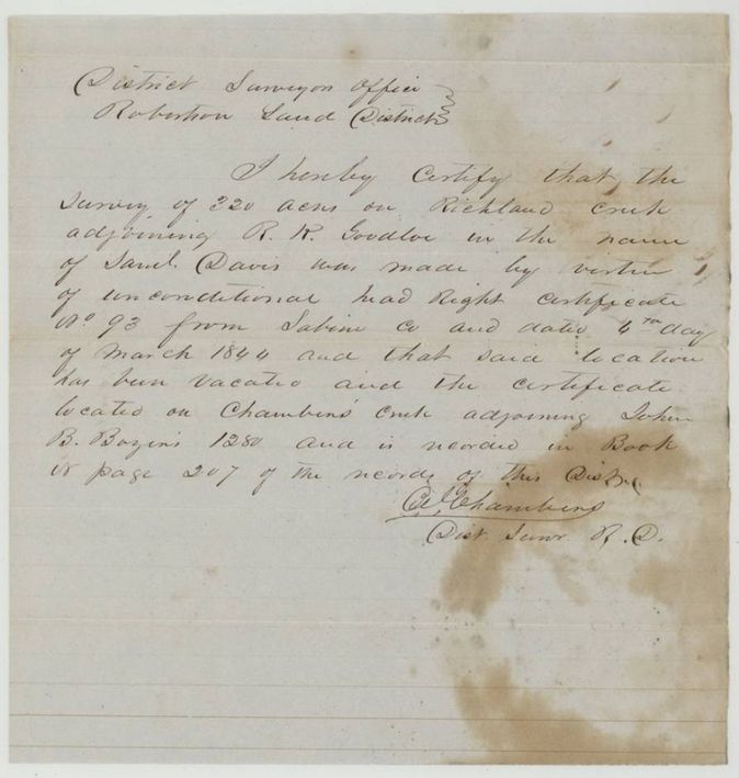
- A first survey of 320 acres on Richland Creek adjoining R. R. Goodloe had been made for Davis under this certificate; District Surveyor's certificate says it was vacated and the certificate relocated on Chambers Creek next to John B. Boyer's 1280 acres.
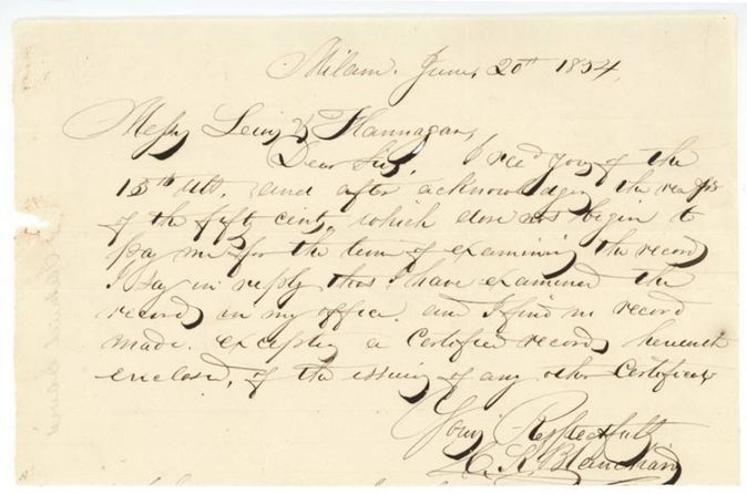
- Blanchard's 1854 letter says he found no record of the certificate in the Sabine County office except a certified record, which he enclosed.
- Index matches the jacket (patent 26 Aug 1854, No. 500, Vol. 11, 320 acres, certificate 93).
Timeline
- 16 Jan 1843Act of Congress authorises Chief Justices and Associates to issue headright certificates to emigrants
- 4 Mar 1844Sabine County Board of Land Commissioners issues unconditional headright certificate No. 93, 320 acres, to Samuel Davis
- 1848Davis sells certificate to Spencer Ashmore for $25 (day and month blank)
- 1 Jun 1850Ashmore sells certificate to Emanuel Lagroane for $50
- 12 Feb 1853Wm. L. Browning surveys 320 acres on Chambers Creek, Navarro County
- 16 Feb 1853District Surveyor examines the field notes; recorded Book N p. 207
- 15 Mar 1853Certificate, field notes and surveyor's certificate filed in the General Land Office
- 6 Apr 1853Survey checked correct on map
- 2 Dec 1853Lagrone conveys certificate to Charles Lewis of Rusk County and asks that the patent issue to Lewis
- 20 Jun 1854C. R. Blanchard, clerk at Milam, certifies copy of the 1844 board record
- 11 Jul 1854Clerk's certificate and transfers filed in the General Land Office
- 26 Aug 1854Patent No. 500, Vol. 11 to Charles Lewis, assignee
The papers in the file
Every page of the Land Office file, in the order the Land Office keeps them (19 pages). Tap a page to see it larger.
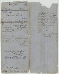 File jacketFile jacket for Samuel Davis, Robertson 3rd class, 320 acres, noting the patent to Charles Lewis, assignee, 26 August 1854, No. 500 Vol. 11.General Land Office, file 780, page 1 · in the scan
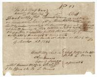 CertificateSabine County unconditional headright certificate No. 93, third class, for 320 acres to Samuel Davis, issued at Milam on 4 March 1844.General Land Office, file 780, page 2 · in the scan
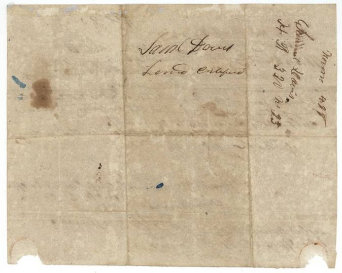
 Back of the certificateBack of the certificate, endorsed with Samuel Davis's name and 'Land Certificate', H.R. 320 acres, No. 93.General Land Office, file 780, page 3 · in the scan
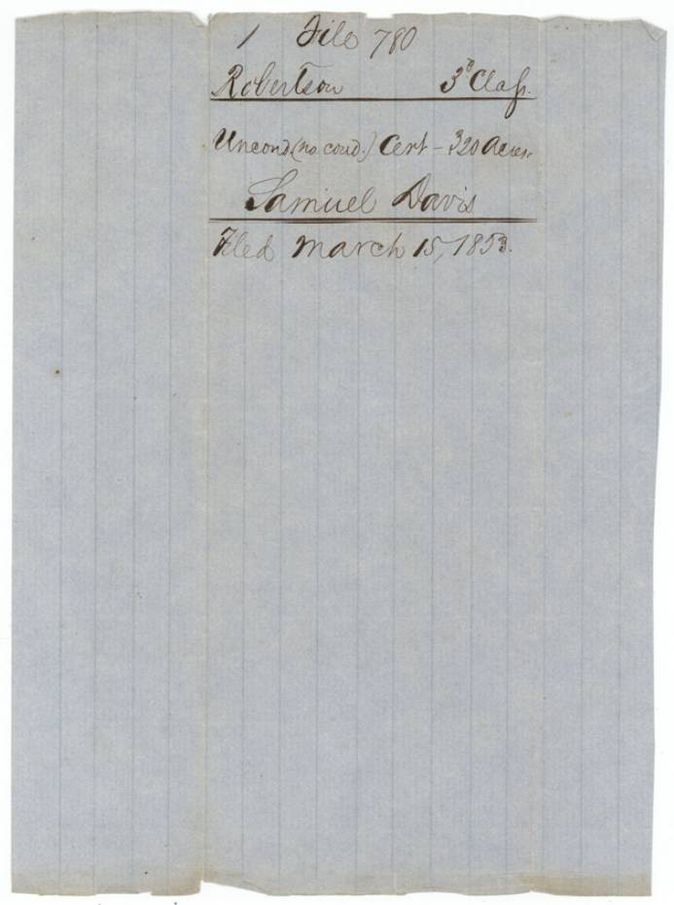
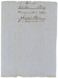 WrapperWrapper no. 1 for the unconditional certificate for 320 acres of Samuel Davis, filed 15 March 1853.General Land Office, file 780, page 4 · in the scan
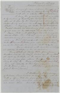 Field notesField notes and plat of 320 acres surveyed for Samuel Davis on Chambers Creek by Wm. L. Browning, with chain carriers Wm. M. and John P. Harris.General Land Office, file 780, page 5 · in the scan
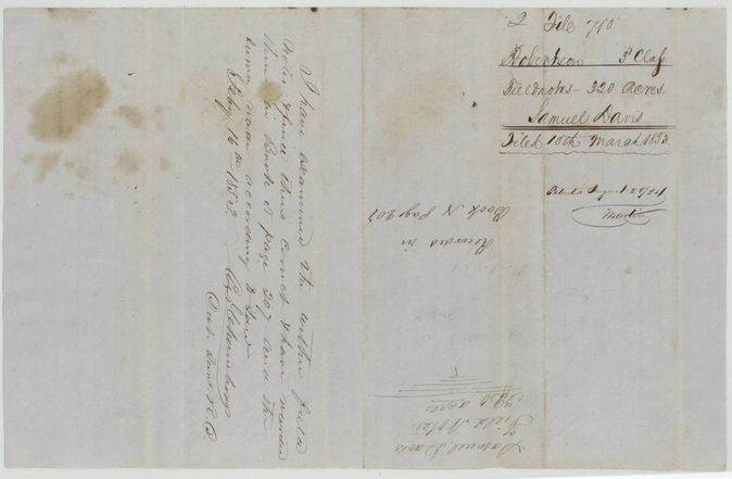
 WrapperBack of the field notes with wrapper no. 2, recorded Book N page 207, and the district surveyor's note that he examined the notes on 16 February 1853.General Land Office, file 780, page 6 · in the scan
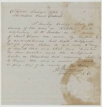 Surveyor's certificateDistrict Surveyor's certificate that Davis's survey on Richland Creek was vacated and the certificate relocated on Chambers Creek next to John B. Boyer, Book N page 207.General Land Office, file 780, page 7 · in the scan
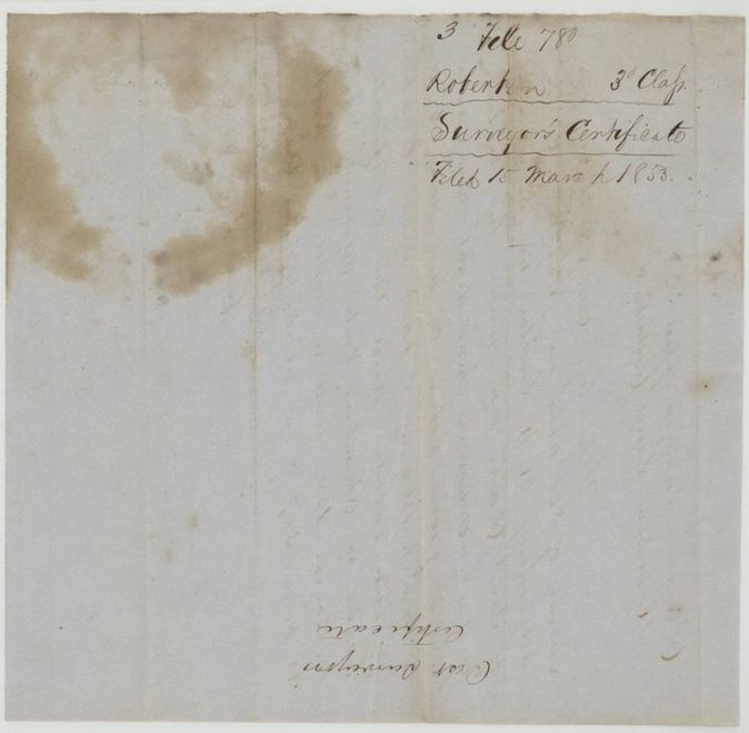
 WrapperWrapper no. 3 labelled Surveyor's Certificate, filed 15 March 1853.General Land Office, file 780, page 8 · in the scan
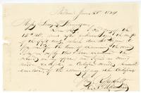 LetterLetter from C. R. Blanchard at Milam to Messrs. Lewis & Flannagan saying he found no record except a certified copy, which he encloses.General Land Office, file 780, page 9 · in the scan
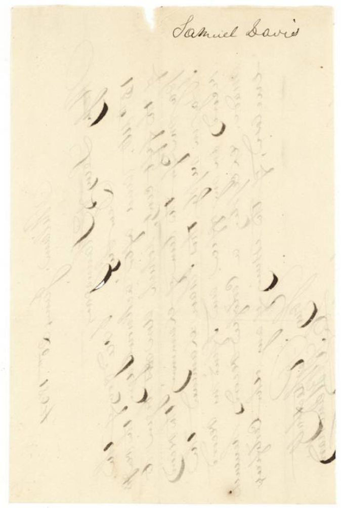
 LetterBack of the Blanchard letter, endorsed Samuel Davis, with ghosted writing from the other side.General Land Office, file 780, page 10 · in the scan
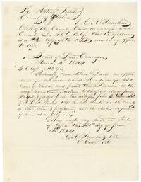 CertificateCounty clerk's certified copy of the 4 March 1844 Sabine County land board record granting Sam'l Davis 320 acres.General Land Office, file 780, page 11 · in the scan
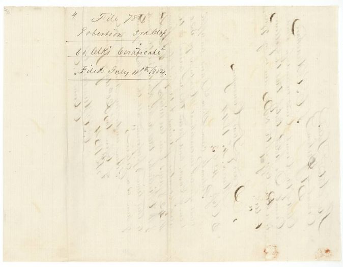
 WrapperWrapper no. 4 for the county clerk's certificate, filed 11 July 1854.General Land Office, file 780, page 12 · in the scan
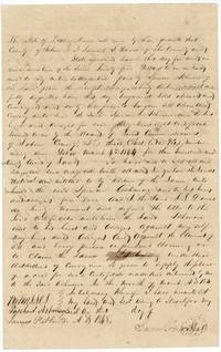 TransferDeed of Samuel L. Davis selling headright certificate No. 93 to Spencer Ashmore for $25, dated 1848.General Land Office, file 780, page 13 · in the scan
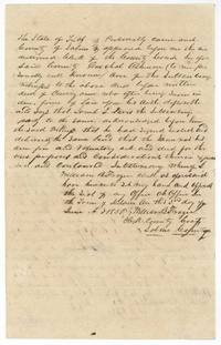 TransferProof of the Davis deed before William B. Frazer, clerk of Sabine County court, at Milam, 3 June 1850.General Land Office, file 780, page 14 · in the scan
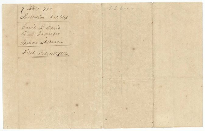
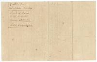 WrapperWrapper no. 7 for the transfer Samuel L. Davis to Spencer Ashmore, filed 11 July 1854.General Land Office, file 780, page 15 · in the scan
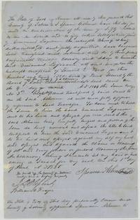 TransferDeed of Spencer Ashmore selling Davis's 320-acre certificate to Emanuel Lagroane for $50, 1 June 1850.General Land Office, file 780, page 16 · in the scan
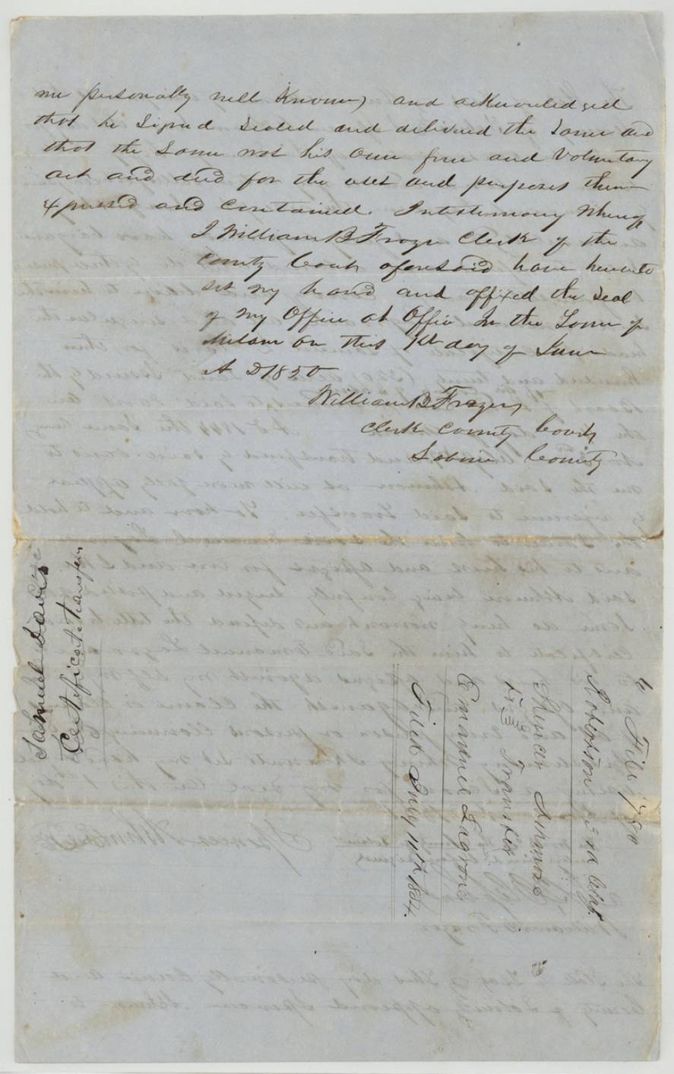
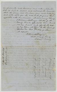 TransferAcknowledgment of the Ashmore deed before William B. Frazer, with wrapper no. 6 endorsed Spencer Ashmore to Emanuel Lagrone, filed 11 July 1854.General Land Office, file 780, page 17 · in the scan
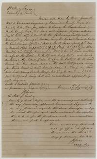 TransferEmanuel Lagrone of Harrison County, signing by mark, transfers the lost Davis certificate to Charles Lewis of Rusk County on 2 December 1853.General Land Office, file 780, page 18 · in the scan
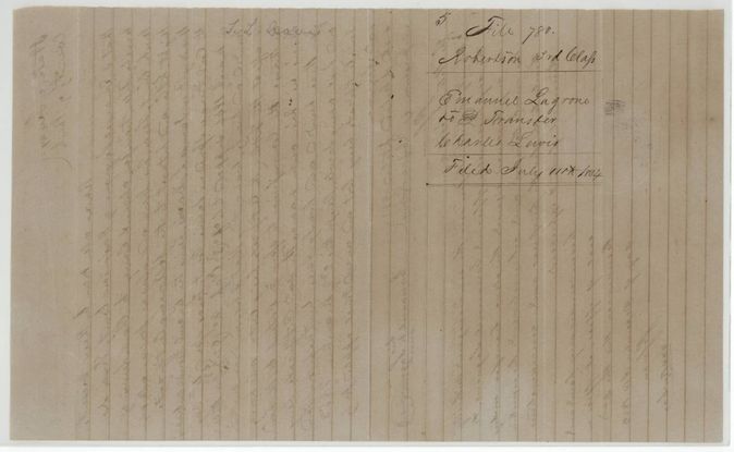
 WrapperWrapper no. 5 for the transfer Emanuel Lagrone to Charles Lewis, filed 11 July 1854.General Land Office, file 780, page 19 · in the scan
Scans courtesy of the Texas General Land Office, Austin, from its Land Grant Database.
Neighbouring surveys
Sources
- Texas General Land Office, Land Grant Database: Navarro County, Abstract 225
- The Land Office file, scanned (PDF, at the General Land Office)
- 1924 map: courtesy of the Texas General Land Office, Austin, Map 73249, used under licence. Topo: U.S. Geological Survey, The National Map. Aerial photographs: U.S. Department of Agriculture, National Agriculture Imagery Program, 2012, 2018 and 2022. Survey outlines: Railroad Commission of Texas, Original Texas Land Survey. Grant records and files: Texas General Land Office.