Blackland TX · ← All the original surveys
William Cox Survey, Abstract 179
- Granted to
- William Cox
- Kind of grant
- Headright, third classLand for later settlers, including the colonists of Mercer’s Colony.
- Land Office file
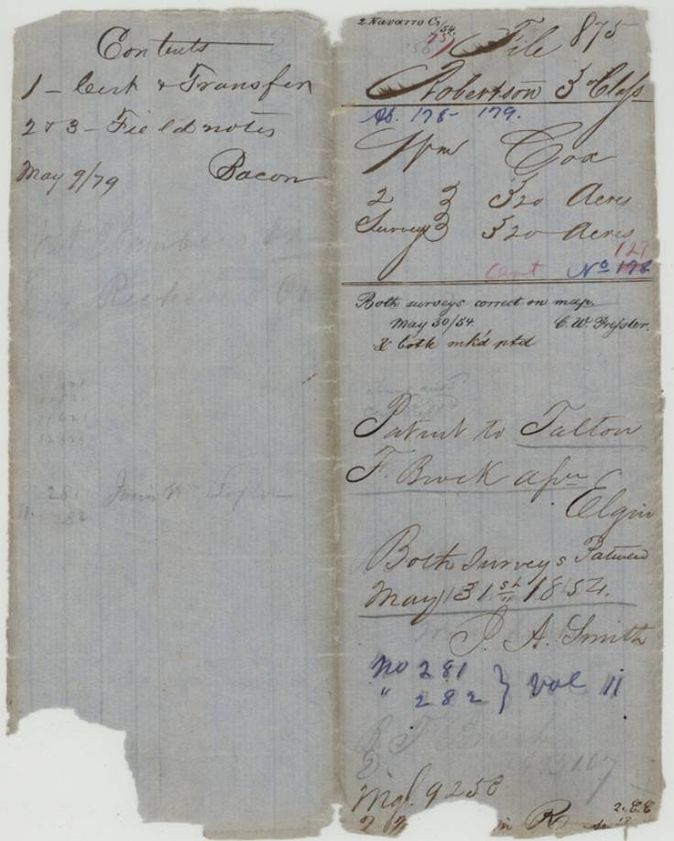
- Robertson 3rd class, file 875
- Certificate
- No. 129
- Acres
- 320
- Patented to
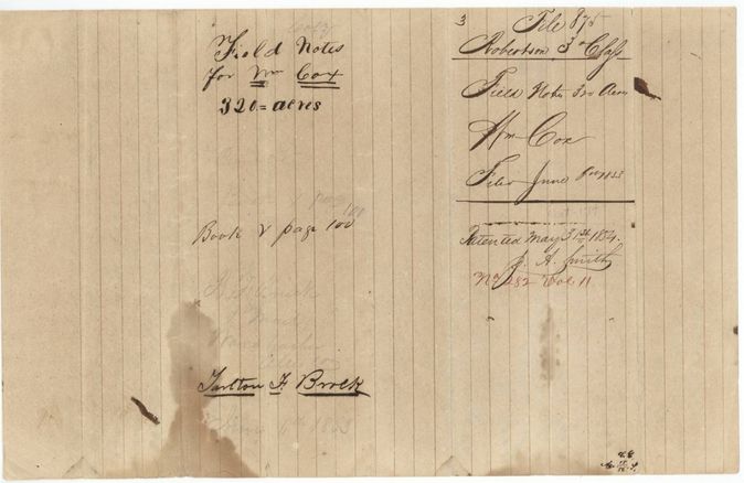
- Talton F. Brock
- Patent
- 31 May 1854 · No. 282, Vol. 11
Tap a survey to open its page.
What the file shows
William Cox received a 640-acre Mercer's Colony certificate at Corsicana in April 1850 and sold it for $20 to Talton F. Brock within days. It was located as two 320-acre tracts in Navarro County, one on Chambers Creek by Wm. L. Browning in July 1852 and one on Richland Creek by J. M. Eliot, and both were patented to Brock on 31 May 1854.
The certificate
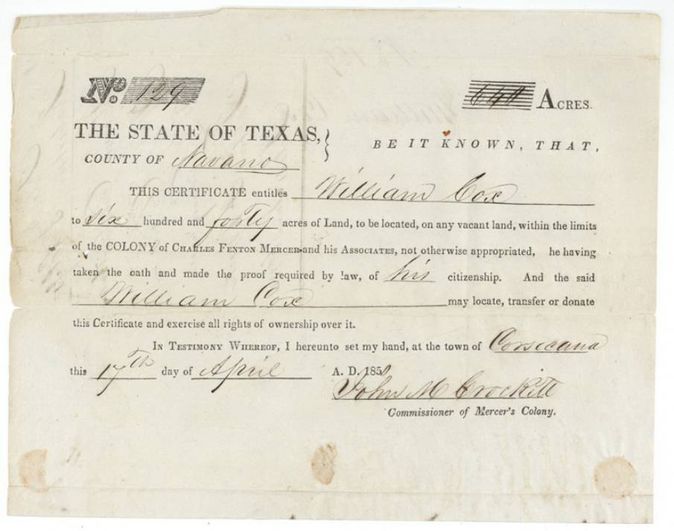
headright, Mercer's Colony certificate, No. 129 (jacket: '178' struck and corrected to 129 in pink; deed wrapper p3 reads 'Nos 127+128'), 640 (two 320-acre surveys in this file), John M. Crockett, Commissioner of Mercer's Colony, Corsicana, Navarro County, 17 Apr 1850.
Entitles William Cox to 640 acres within Charles Fenton Mercer's colony, he having taken the oath and made proof of his citizenship; he may locate, transfer or donate it.
Changes of hand
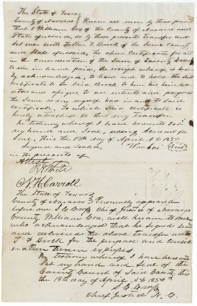
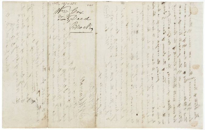
- 1850-04-19 (written 19th; acknowledged 18th)William Cox, of Navarro County → Talton F. Brock, of Navarro County, $20, Navarro County, Texas. Transfers the Mercer's Colony certificate with the certificate attached; wrapper says 'Wm Cox to Brock, Deed, Nos 127+128 [129?], 640'. The signing and acknowledgment dates are a day apart in the wrong order.
The survey
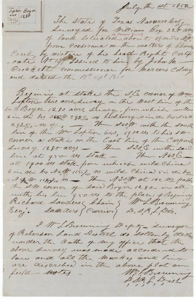
1 Jul 1852, Wm. L. Browning, Deputy Surveyor, Robertson Land District.
Navarro County (red-ink addition 'in Navarro County'), about 8 1/2 miles N.W. from Corsicana on the waters of Chambers Creek
Chain carriers: Richard Sanders, Benj. Sanders.
Book N, page 187
The survey
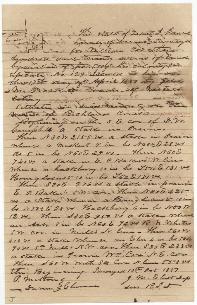
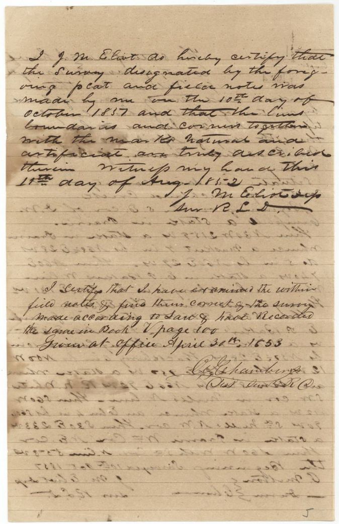
1837(?)-10-10 as written (surveyed 'Oct 1837'(?)); certified 1852-08-11(?), J. M. Eliot, Deputy Surveyor, Robertson Land District.
Navarro County on the waters of Richland Creek, about 7 1/2 miles S 58(?) W from Corsicana
Chain carriers: P. Melton, Duren(?).
Book V, page 100
The patent
31 May 1854, Nos. 281 (abst 178) and 282 (abst 179), Vol. 11, to Talton F. Brock, assignee, delivered to not stated.
Also in the file
- Field notes of abst 179 give the survey date as 10 October 1837, impossible for a colony certificate issued in 1850; probably a slip for 1851 or 1852.
- Wrapper for abst 178 seems to read 'Patented May 31/53' while the jacket and index say 31 May 1854(?).
- The transfer is signed 19 April but acknowledged 18 April 1850.
- Certificate number is 129 on the certificate but the transfer wrapper reads 127 + 128.
- The certificate was issued at Corsicana before any survey, then sold for only $20 for 640 acres.
- The Richland Creek survey (Abst. 179) closes on the NE corner of a 'Wm. M. Cox' survey, a red-ink correction; whether this is the same William Cox is not shown.
- Pencil on the back of the Abst. 179 field notes: 'T. F. Brock(?) ... Waxahachie, Ellis Co., June 6th 1853' - Brock was apparently at Waxahachie when the papers were filed.
Timeline
- 17 Apr 1850John M. Crockett issues Mercer's Colony certificate No. 129 for 640 acres to William Cox at Corsicana
- 18 Apr 1850Cox's sale to Talton F. Brock acknowledged before the Chief Justice of Navarro County
- 1 Jul 1852William L. Browning surveys 320 acres for Cox on Chambers Creek
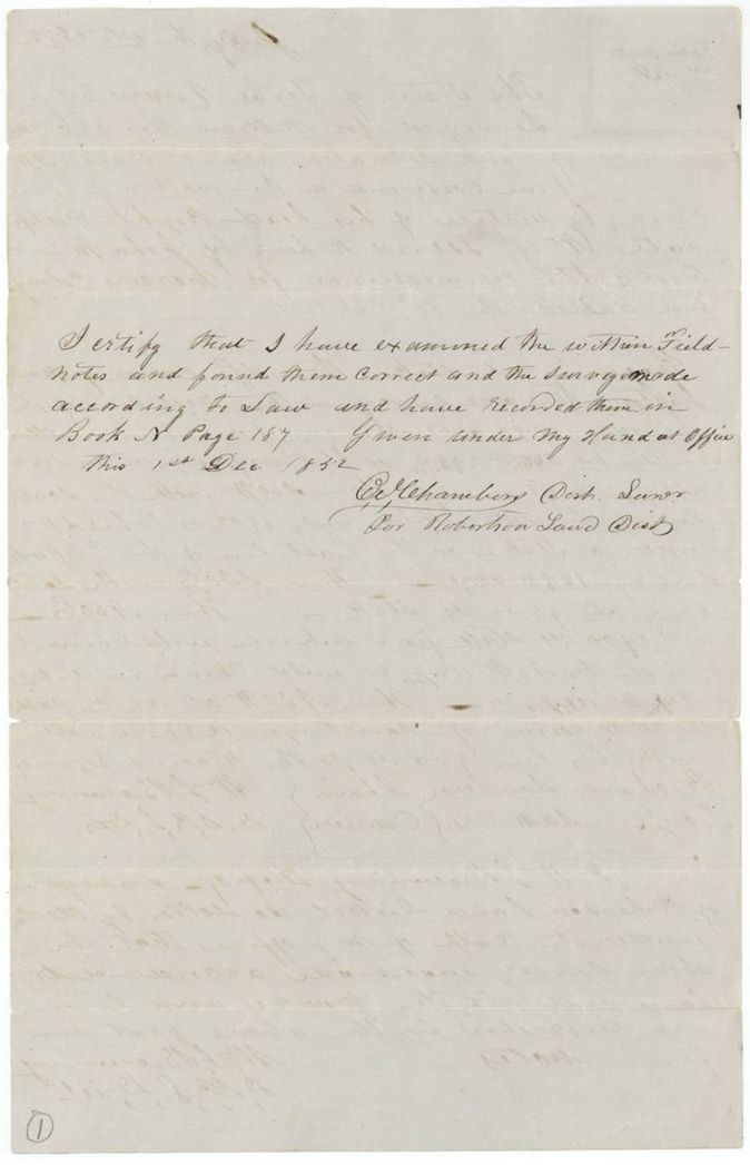
- 1 Dec 1852District surveyor examines and records the first survey, Book N p187
- 30 Apr 1853Second survey examined and recorded, Book V p100
- 6 Jun 1853Papers filed in the General Land Office
- 30 May 1854Both surveys checked correct on the map
- 31 May 1854Patents 281 and 282, Vol. 11, to Talton F. Brock
The papers in the file
Every page of the Land Office file, in the order the Land Office keeps them (11 pages). Tap a page to see it larger.
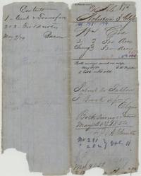 File jacketFile jacket 875, Robertson 3rd Class, Wm. Cox, two 320-acre surveys, abst 178-179, patented to Talton F. Brock 31 May 1854, Nos. 281-282 Vol 11.General Land Office, file 875, page 1 · in the scan
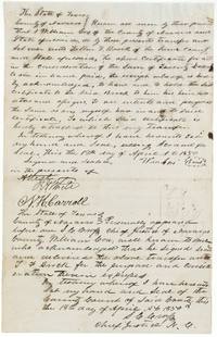 TransferWm. Cox of Navarro County transfers his certificate to Talton F. Brock for $20, acknowledged before the Chief Justice, April 1850.General Land Office, file 875, page 2 · in the scan
 WrapperWrapper for the deed from Wm. Cox to Brock for the 640-acre certificate.General Land Office, file 875, page 3 · in the scan
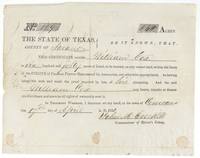 CertificateMercer's Colony certificate No. 129 entitling William Cox to 640 acres, signed John M. Crockett at Corsicana, 17 April 1850.General Land Office, file 875, page 4 · in the scan
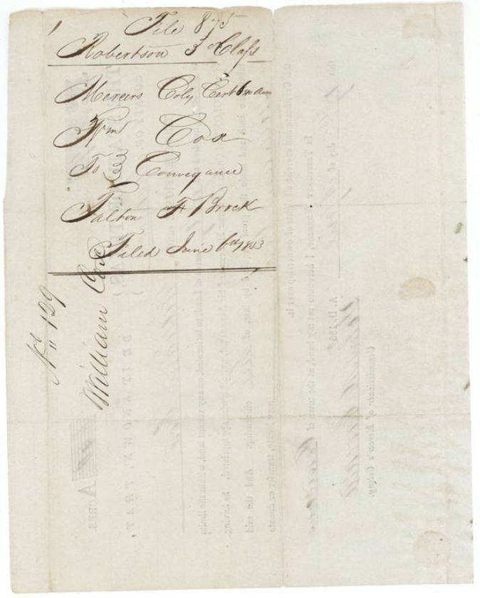
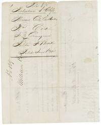 Back of the certificateBack of the certificate endorsed Mercer's Colony certificate, Wm. Cox, conveyance to Talton F. Brock, filed June 6th 1853.General Land Office, file 875, page 5 · in the scan
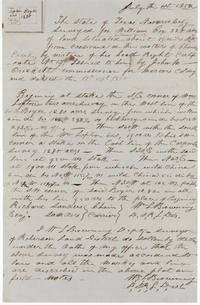 Field notesPlat and field notes for 320 acres for William Cox on Chambers Creek (abst 178), joining Wm. Lopton's 640, surveyed 1 July 1852 by Wm. L. Browning.General Land Office, file 875, page 6 · in the scan
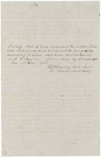 Surveyor's certificateDistrict surveyor's certificate that the Cox field notes were examined and recorded in Book N page 187, 1 Dec 1852.General Land Office, file 875, page 7 · in the scan
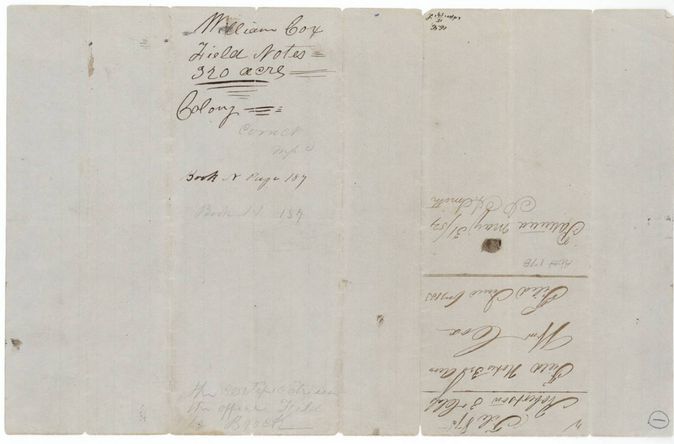
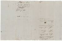 WrapperWrapper for the first 320-acre field notes, Abst 178, filed June 1853 and patented May 31, signed J. A. Smith.General Land Office, file 875, page 8 · in the scan
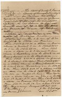 Field notesPlat and field notes for 320 acres for William Cox on Richland Creek (abst 179), surveyed by J. M. Eliot, deputy surveyor, with chain men P. Melton and Duren(?).General Land Office, file 875, page 9 · in the scan
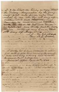 Surveyor's certificateEliot's certificate of survey and the district surveyor's examination, Book V page 100, 30 April 1853.General Land Office, file 875, page 10 · in the scan
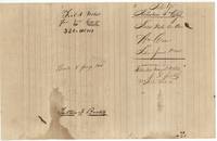 WrapperWrapper for the second 320-acre field notes, Abst 179, filed June 1853, patented 31 May 1854, No. 282 Vol 11, with Tarlton F. Brock's name.General Land Office, file 875, page 11 · in the scan
Scans courtesy of the Texas General Land Office, Austin, from its Land Grant Database.
Neighbouring surveys
Sources
- Texas General Land Office, Land Grant Database: Navarro County, Abstract 179
- The Land Office file, scanned (PDF, at the General Land Office)
- 1924 map: courtesy of the Texas General Land Office, Austin, Map 73249, used under licence. Topo: U.S. Geological Survey, The National Map. Aerial photographs: U.S. Department of Agriculture, National Agriculture Imagery Program, 2012, 2018 and 2022. Survey outlines: Railroad Commission of Texas, Original Texas Land Survey. Grant records and files: Texas General Land Office.