Blackland TX · ← All the original surveys
William Lapton Survey, Abstract 509
- Granted to
- William Lapton
- Kind of grant
- Bounty warrantLand paid for service in the army of the Republic.
- Land Office file
- Robertson Bounty, file 149
- Certificate
- No. 9966
- Acres
- 640
- Patented to
- William Lapton
- Patent
- 08 Oct 1846 · No. 174, Vol. 3
Tap a survey to open its page.
What the file shows
William Lapton served six months in 1836 and earned a 640-acre bounty certificate. Deputy surveyor B. J. Chambers located it in October 1840 on Chambers Creek, a branch of the Trinity, in what was then Robertson County. A replacement certificate was issued in 1842 and the patent followed on 8 October 1846. A 1950-51 resurvey found 703.643 acres and the excess was sold off.
The certificate
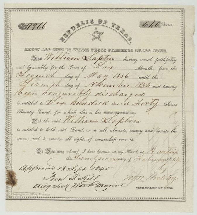
military bounty (6 months' service), No. 9966 (the survey and the back of the certificate cite an earlier No. 1368, issued 28 Dec 1836), 640 acres, Republic of Texas, War Department; signed by the Secretary of War (Geo. W. Hockley(?)) and approved 13 Sep 1845 by Ben F. Hill(?), Acting Secretary of War and Marine, Austin, 22 Feb 1842.
Served faithfully and honourably six months, 7 May 1836 to 7 Nov 1836, and was honourably discharged; entitled to 640 acres of bounty land
The survey
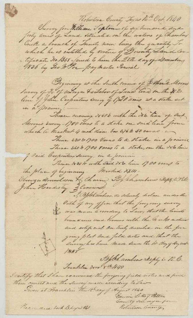
1840-10-16 (surveyor's oath at Franklin, 8 Nov 1840), B. J. Chambers, Deputy Surveyor (Dept. S. R. C.(?)).
Robertson County (original); now Navarro County; waters of Chambers Creek, a branch of the Trinity; jacket: 11 miles N 50 W (no town named; the 1951 papers put it 10-11 miles N 56-60 W of Corsicana)
Chain carriers: Ebenezer Donnoldson(?), John Hardisty(?).
Book B, page 141
The patent
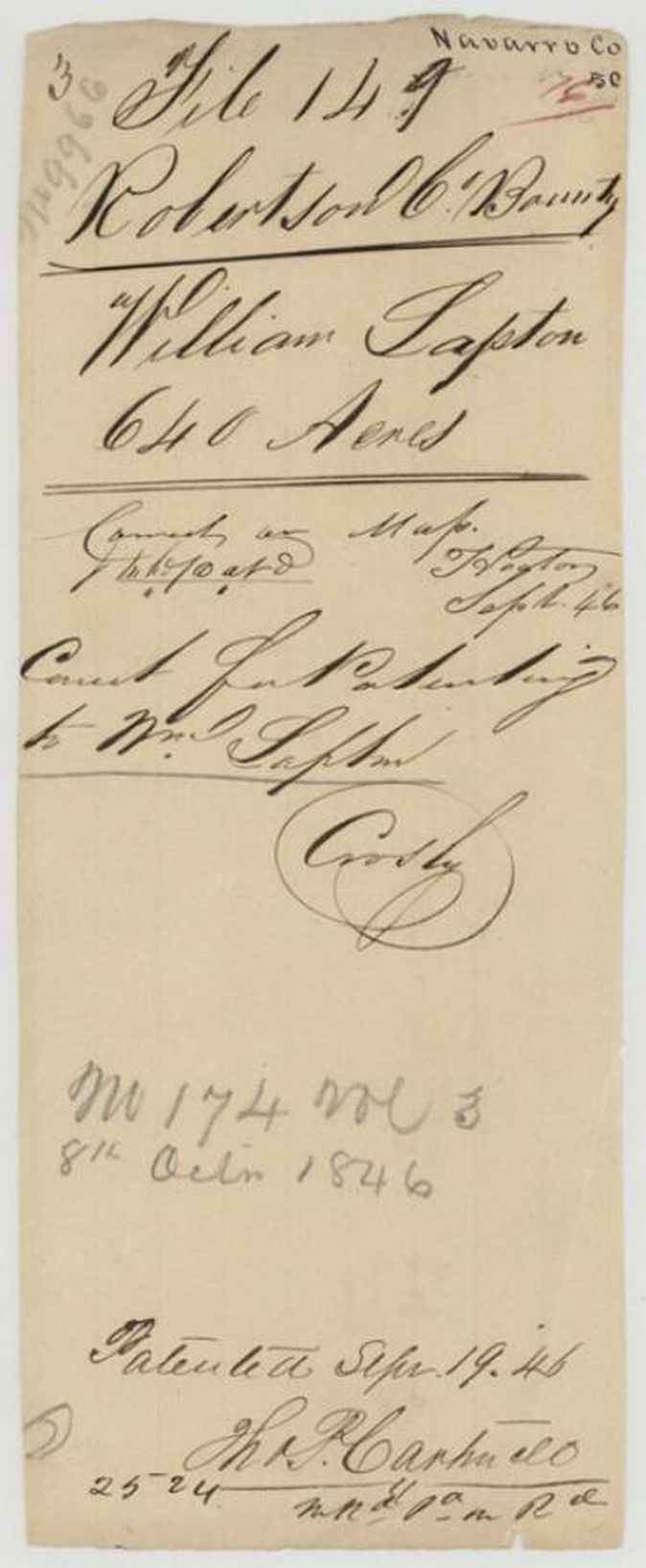
1846-10-08 (jacket p1: 'Patented Sept 1?/46' with 'Sept' struck through and 'Oct 8th' written above; patent jacket p6: 'No 174 Vol 3, 8th Octr 1846' and a clerk's note 'Patented Sept 19.46'), No. 174, Vol. 3, to William Lapton, delivered to not stated.
Also in the file
- Index says patent date 08 Oct 1846, No. 174, Vol. 3, 640 acres; the outer jacket has 'Sept' struck through and corrected to 'Oct 8th', while the patent jacket's clerk note reads 'Patented Sept 19.46' (the day the patent was written up(?)).
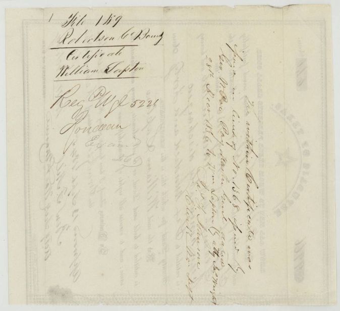
- The bounty certificate is numbered 9966 (issued 22 Feb 1842), but the 1840 field notes cite Certificate No. 1368 issued 28 Dec 1836 by Geo. W. Poe; the back of No. 9966 says it was issued in lieu of No. 1368.
- Patton's examination of the field notes is dated 12 Aug 1840, before the survey date of 16 Oct 1840 and the surveyor's oath of 8 Nov 1840; one date is a slip.
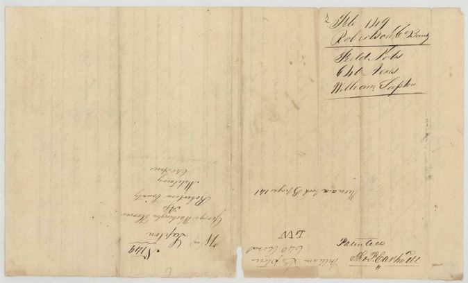
- An old endorsement on the back of the field notes (p5) reads 'Wm Lapton / George Washington Hoover / Ass.(?) / Robertson County / Military 640 Acres', suggesting Hoover held the certificate as assignee or agent, but no deed or assignment is in the file and the patent went to Lapton himself.
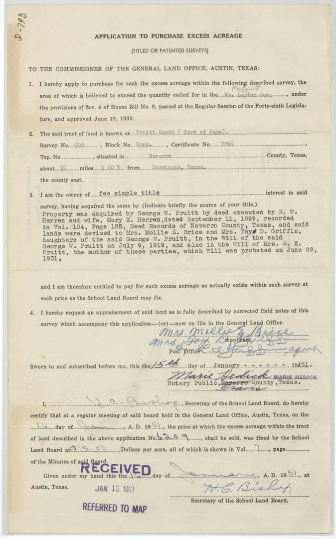
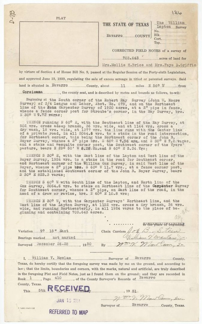
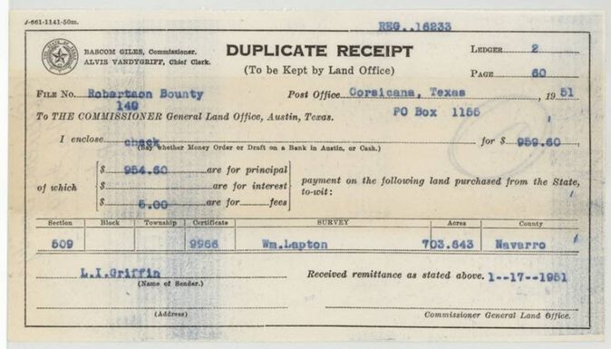
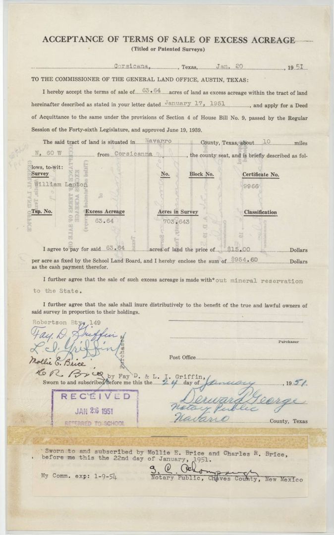
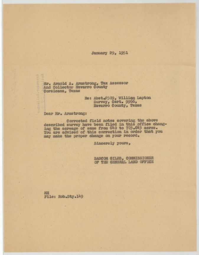
- The survey called 640 acres but a 1950 resurvey found 703.643 acres, so 63.64 excess acres were later bought from the State; the Land Office corrected its map and told the county tax office in January 1951. The 1951 resurvey identifies John W. Moore's 3/4 league as the Robert Ray survey, Abst. 679.
Timeline
- 7 May 1836William Lapton begins six months' service
- 7 Nov 1836Honourably discharged
- 28 Dec 1836Original bounty certificate No. 1368 issued by Paymaster General Geo. W. Poe
- 12 Aug 1840County surveyor Patton's examination date as written on the field notes
- 16 Oct 1840B. J. Chambers surveys 640 acres on Chambers Creek
- 22 Feb 1842Replacement bounty certificate No. 9966 issued at Austin
- 13 Sep 1845Certificate approved
- 8 Oct 1846Patent No. 174, Vol. 3, to William Lapton
The papers in the file
Every page of the Land Office file, in the order the Land Office keeps them (23 pages). Tap a page to see it larger.
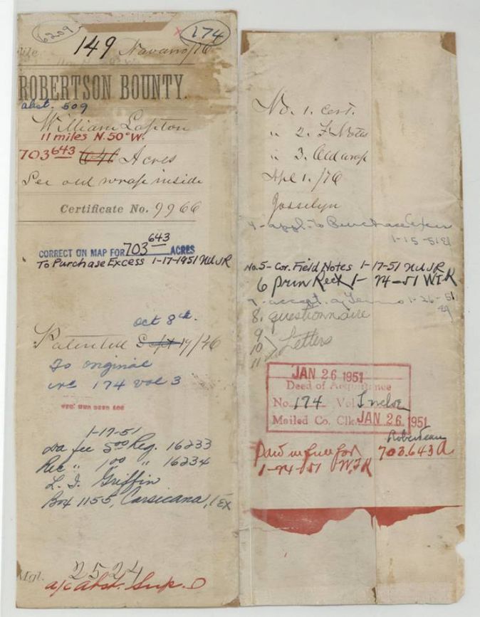
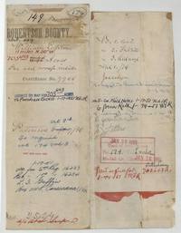 File jacketJacket and contents list for Robertson Bounty file 149, William Lapton, Abstract 509, with later notes correcting the acreage to 703.643.General Land Office, file 149, page 1 · in the scan
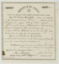 CertificateRepublic of Texas bounty certificate No. 9966 for 640 acres to William Lapton for six months' service in 1836, approved 13 Sep 1845.General Land Office, file 149, page 2 · in the scan
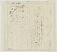 Back of the certificateBack of the certificate endorsed with the earlier certificate No. 1368 issued by Paymaster General Geo. W. Poe on 28 Dec 1836.General Land Office, file 149, page 3 · in the scan
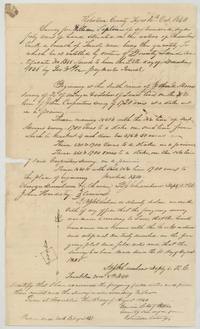 Field notesB. J. Chambers' field notes and plat for 640 acres on Chambers Creek, with chain carriers named and Patton's examination, recorded Book B page 141.General Land Office, file 149, page 4 · in the scan
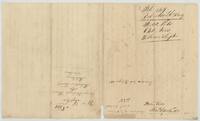 Field notesBack of the field notes, endorsed File 149 Robertson Bounty, 640 acres, William Lapton, with 'George Washington Hoover Ass.(?)' and patented by Thos. P. Carthwell(?).General Land Office, file 149, page 5 · in the scan
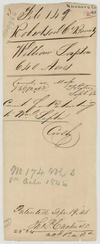 File jacketPatent jacket for William Lapton's 640 acres, checked correct on map Sept 1846, showing Patent No. 174 Vol. 3, 8 Oct 1846.General Land Office, file 149, page 6 · in the scan
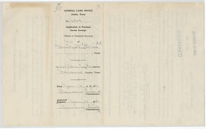
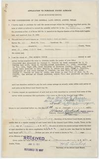 Other papersApplication to purchase excess acreage in the Lapton survey, sworn 15 Jan 1951.General Land Office, file 149, page 7 · in the scan
 WrapperBack of the excess-acreage application, filed and approved at the Land Office January 1951.General Land Office, file 149, page 8 · in the scan
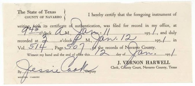
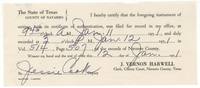 Other papersNavarro County clerk's recording certificate for the 1951 instrument, Vol. 514 page 507.General Land Office, file 149, page 9 · in the scan
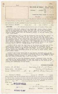 Field notesCorrected field notes resurveying the Lapton tract at 703.643 acres, surveyed 26-28 December 1950.General Land Office, file 149, page 10 · in the scan
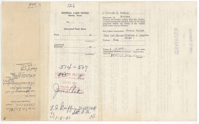
 Other papersBack of the corrected field notes with the surveyor's soil and value certificate of $15.00 an acre.General Land Office, file 149, page 11 · in the scan
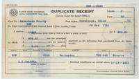 Other papersLand Office duplicate receipt for $959.60 paid for 63.64 excess acres.General Land Office, file 149, page 12 · in the scan
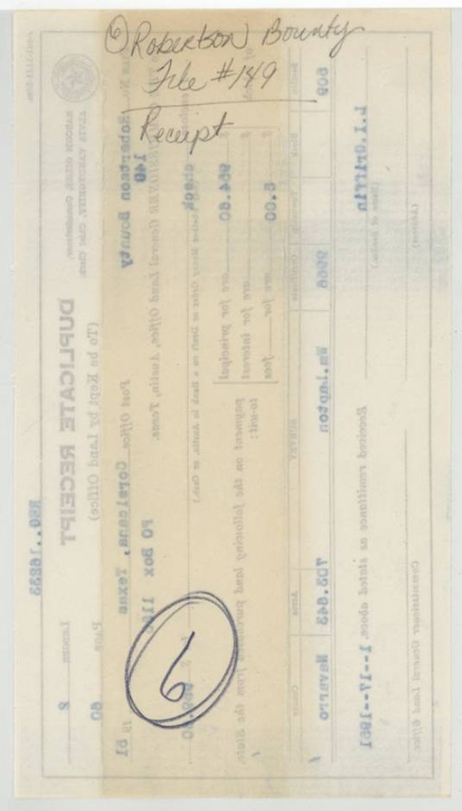
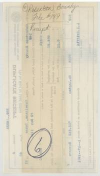 WrapperBack of the receipt, filed in the Robertson Bounty 149 file.General Land Office, file 149, page 13 · in the scan
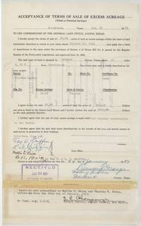 Other papersAcceptance of terms for 63.64 excess acres at $15.00 an acre.General Land Office, file 149, page 14 · in the scan
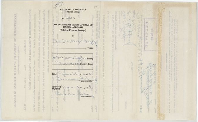
 WrapperBack of the acceptance, filed and approved at the Land Office 26 Jan 1951.General Land Office, file 149, page 15 · in the scan
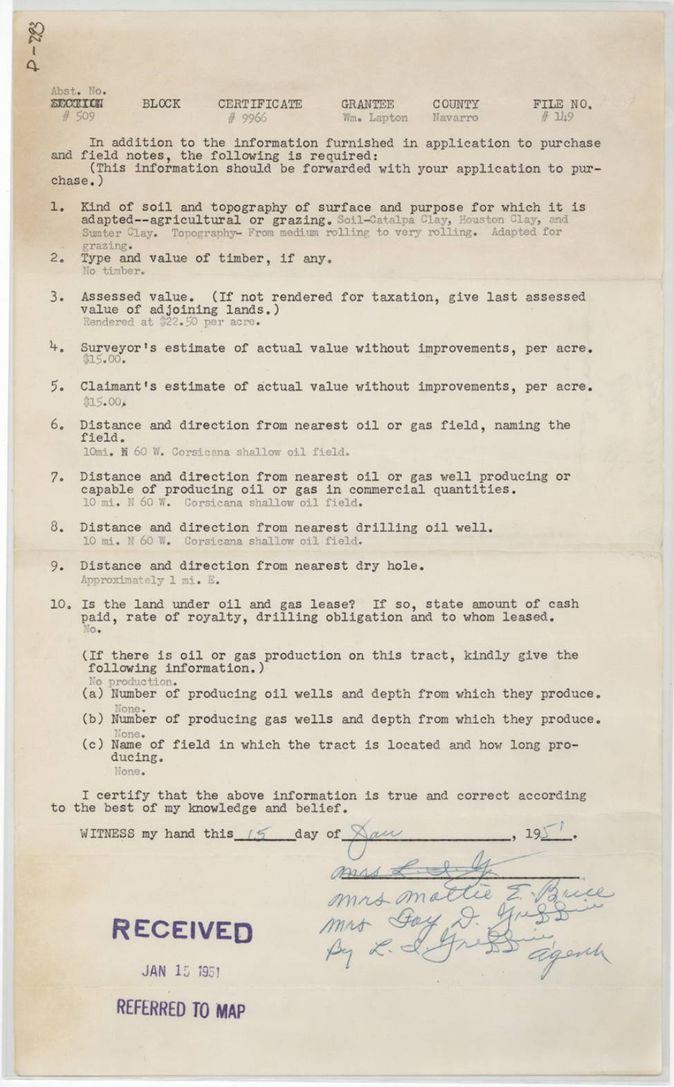
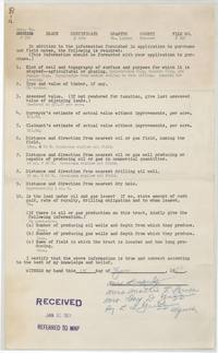 Other papersQuestionnaire on soil, timber, value and oil and gas for the excess acreage, answered with no production or lease.General Land Office, file 149, page 16 · in the scan
 WrapperBack of the questionnaire, marked Robertson County File 149.General Land Office, file 149, page 17 · in the scan
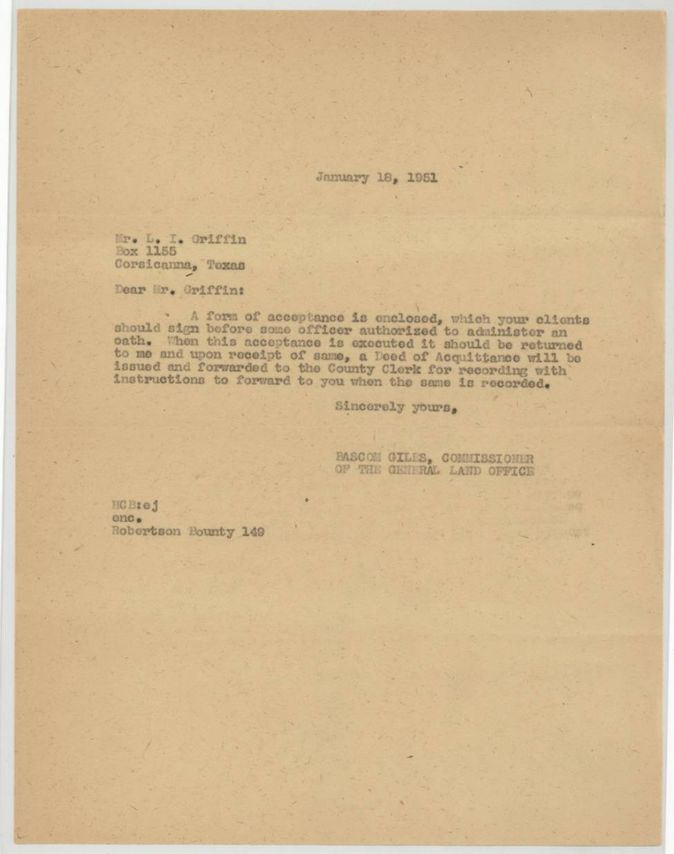
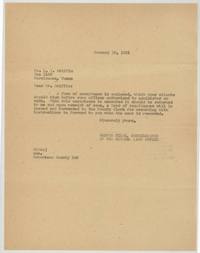 LetterLand Office letter sending the form of acceptance for the excess acreage.General Land Office, file 149, page 18 · in the scan
 WrapperBack of the letter, marked Robertson County File 149 Letter.General Land Office, file 149, page 19 · in the scan
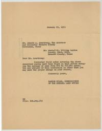 LetterLand Office letter to the Navarro County tax office correcting the survey from 640 to 703.643 acres.General Land Office, file 149, page 20 · in the scan
 WrapperBack of the tax-office letter, stamped assessor-collector notified 29 Jan 1951.General Land Office, file 149, page 21 · in the scan
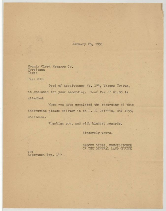
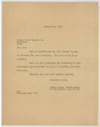 LetterLand Office letter sending Deed of Acquittance No. 174 Vol. 12 to the county clerk for recording.General Land Office, file 149, page 22 · in the scan
 WrapperBack of the county clerk letter, marked Robertson Bounty File 149 Letter.General Land Office, file 149, page 23 · in the scan
Scans courtesy of the Texas General Land Office, Austin, from its Land Grant Database.
Neighbouring surveys
Sources
- Texas General Land Office, Land Grant Database: Navarro County, Abstract 509
- The Land Office file, scanned (PDF, at the General Land Office)
- 1924 map: courtesy of the Texas General Land Office, Austin, Map 73249, used under licence. Topo: U.S. Geological Survey, The National Map. Aerial photographs: U.S. Department of Agriculture, National Agriculture Imagery Program, 2012, 2018 and 2022. Survey outlines: Railroad Commission of Texas, Original Texas Land Survey. Grant records and files: Texas General Land Office.