Blackland TX · ← All the original surveys
Robert Ray Survey, Abstract 679
- Granted to
- Robert Ray
- Kind of grant
- Headright, first classLand for settlers who were in Texas before independence, 2 March 1836.
- Land Office file
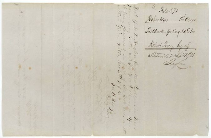
- Robertson 1st class, file 571
- Certificate
- No. 305
- Acres
- 3498
- Patented to
- Mc I. D. McKissick
- Patent
- 10 Sep 1852 · No. 442, Vol. 10
Tap a survey to open its page.
What the file shows
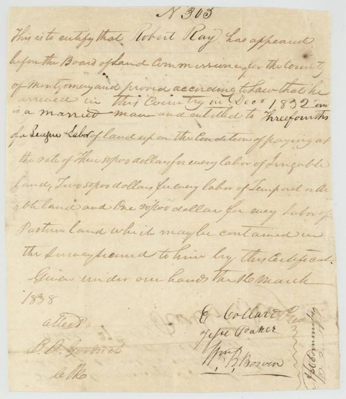
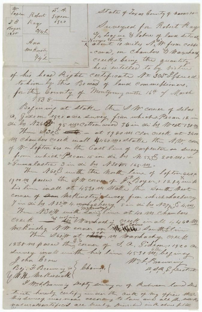
Robert Ray was certified by the Montgomery County land board on 16 March 1838 as a married man arriving December 1832 entitled to three-fourths of a league and a labor, on payment of fees by land type. He sold the certificate to McKissack in Grimes County for $150. Deputy surveyor William L. Browning located it on Chambers and Waxahachie creeks about 10 miles northwest of Corsicana on 10 May 1852, and it was patented to McKissick as assignee on 10 September 1852.
The certificate
headright 1st class (three-fourths of a league and one labor), conditional on payment per labor, No. 305, three-fourths league and one labor (index 3498 acres), Board of Land Commissioners for Montgomery County: E. Collard(?), President; Jesse Parker(?); Wm. B. Bowen(?); attested B. D. Goodrich(?), Clerk, Montgomery County, Republic of Texas, 16 Mar 1838.
Proved that he arrived in the country in December 1832, is a married man, and is entitled to three-fourths of a league and labor of land, on condition of paying $3 per labor of irrigable land, $2 per labor of temporal (arable) land and $1 per labor of pasture land contained in the survey
Changes of hand
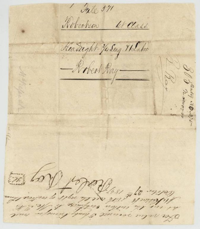
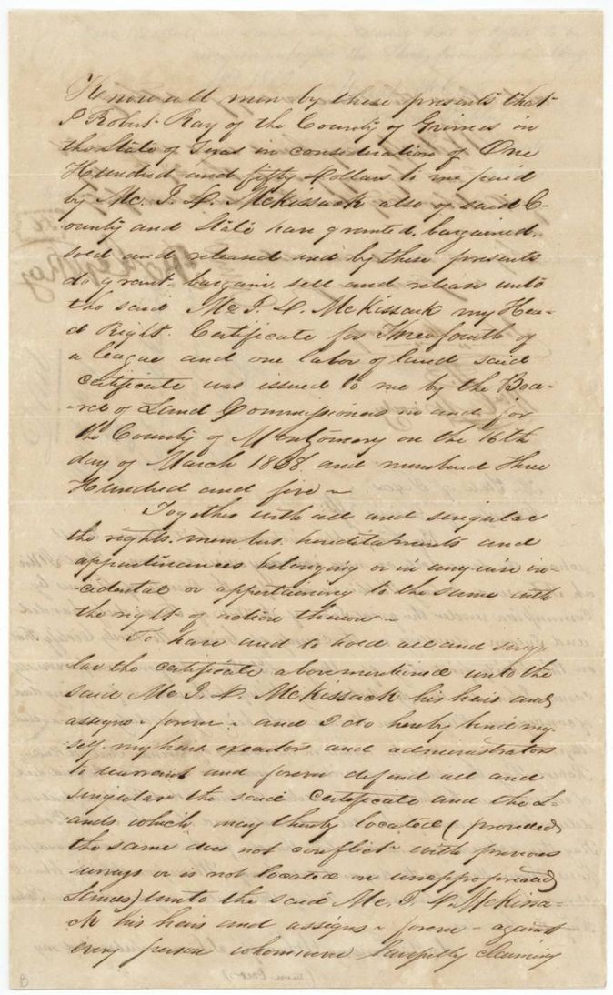
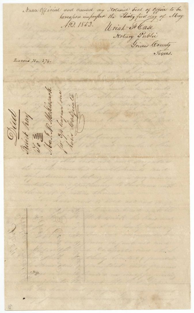
- 27 Oct 1847Robert Ray, of Grimes County → Mc. I. D. McKissack (McKissick), also of Grimes County, $150, Grimes County, Texas. Deed of conveyance of the headright certificate No. 305 for 3/4 league and one labor, dated 27 October 'eighteen hundred and forty seven'; a matching short assignment of the same date is written on the back of the certificate. Record No. 374; endorsed 'Deed Robert Ray to Mc. I. A. McKissack for 3/4 league one labor'.
The survey
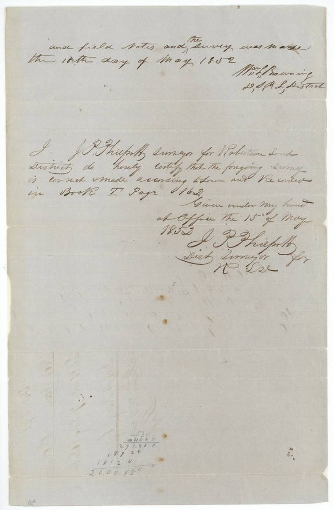
10 May 1852, Wm. L. Browning, Deputy Surveyor, Robertson Land District.
Navarro County, about 10 miles N 40 W from Corsicana, on Chambers and Waxahachie creeks
Chain carriers: John Crow, Benj. F. Browning(?), Wm. H. McKissick(?).
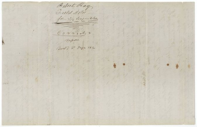
Book I, page 162
The patent
10 Sep 1852, No. 442, Vol. 10, to Mc. I. D. McKissick, assignee, delivered to not stated.
Also in the file
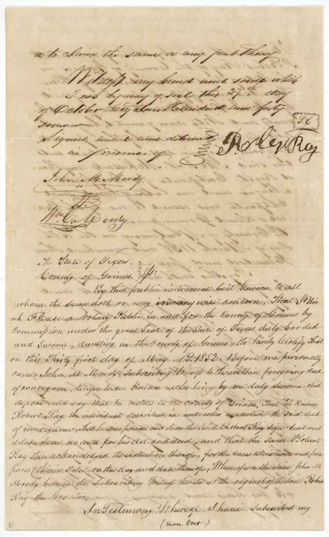
- The deed and the assignment on the certificate are both dated 27 Oct 1847; Ray's deed was proved before a Grimes County notary only in May 1852.
- The conveyance was proved before a notary only on 31 May 1852, three weeks after the survey and four and a half years after the sale, so the deed was proved up to support the patent.
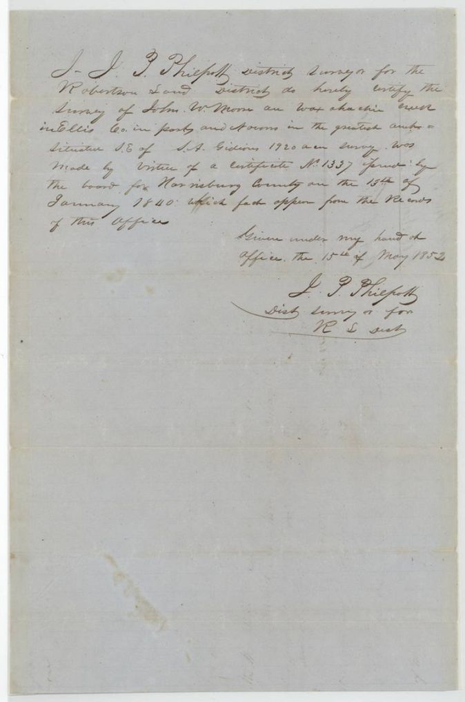
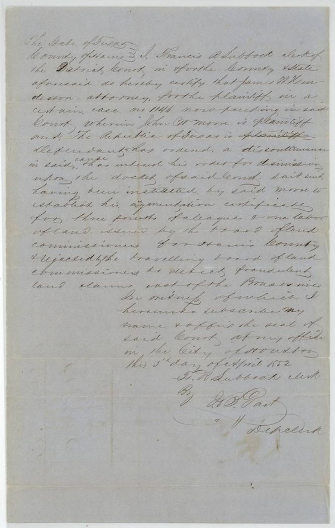
- Philpott's certificate and the Harris County clerk's certificate concern John W. Moore's augmentation certificate, which the Harris County board issued and the travelling board of land commissioners rejected as fraudulent; the cases were filed in the same file to show that nearby Moore claims were sound or flawed - their bearing on Ray's tract is not stated.
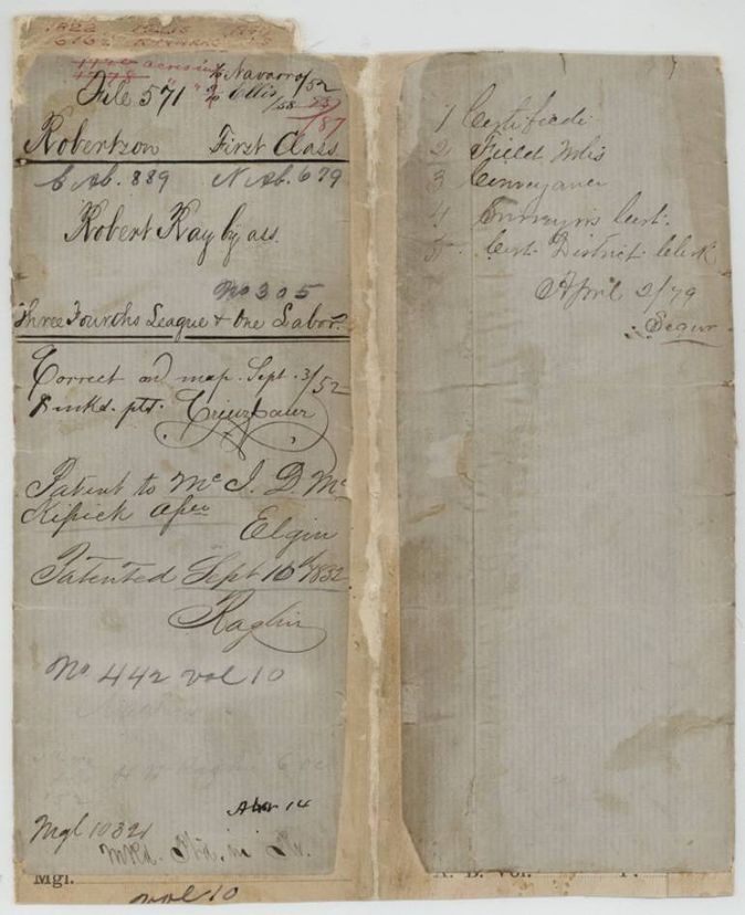
- Jacket cross-references 'S Abst. 889(?)' and 'N Abst. 679' - an old Navarro/other abstract number.
- Fee receipt on the field notes appears dated 6 Oct 1852, after the patent date of 10 Sep 1852 (index agrees on 10 Sep 1852).
Timeline
- Dec 1832Robert Ray says he arrived in the country
- 16 Mar 1838Montgomery County board issues certificate No. 305
- 27 Oct 1847Ray sells the certificate to McKissack for $150 (deed and assignment on the certificate)
- 5 Apr 1852Harris County district clerk certifies the John W. Moore case
- 10 May 1852Wm. L. Browning surveys the land in Navarro County
- 15 May 1852J. P. Philpott approves the survey, Book I p. 162; certificate on John W. Moore survey
- 31 May 1852Notary in Grimes County takes proof of the conveyance
- 3 Sep 1852Checked correct on map
- 10 Sep 1852Patent No. 442 Vol. 10 to McKissick, assignee
- 2 Apr 1879File contents list written on jacket
The papers in the file
Every page of the Land Office file, in the order the Land Office keeps them (15 pages). Tap a page to see it larger.
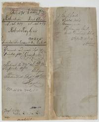 File jacketFile jacket for Robert Ray's three-fourths league and labor, certificate 305, patented to Mc. I. D. McKissick 10 Sept 1852, No. 442 Vol. 10.General Land Office, file 571, page 1 · in the scan
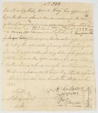 CertificateMontgomery County land board certificate 305 for Robert Ray, married man arrived December 1832, three-fourths league and labor on payment of fees.General Land Office, file 571, page 2 · in the scan
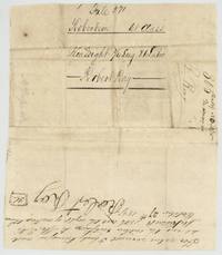 Back of the certificateBack of the certificate with file 571 docket and Ray's assignment of it to Mc. I. A. McKissack, dated October 27th 1847.General Land Office, file 571, page 3 · in the scan
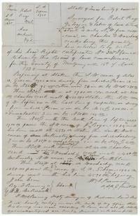 Field notesField notes of the Ray three-fourths league and labor on Chambers and Waxahachie creeks, Navarro County, surveyed by Wm. L. Browning, with marginal plat.General Land Office, file 571, page 4 · in the scan
 WrapperWrapper for the field notes, marked Correct, Book I page 162.General Land Office, file 571, page 5 · in the scan
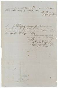 Surveyor's certificateBrowning's oath that the survey was made 10 May 1852 and Philpott's certificate of 15 May 1852 recording it in Book I page 162.General Land Office, file 571, page 6 · in the scan
 WrapperFile 571 docket 'Fieldnote 3/4 Leag. and Labr., Robert Ray by as., Patented Sept 10/52' and a clerk's receipt for fees.General Land Office, file 571, page 7 · in the scan
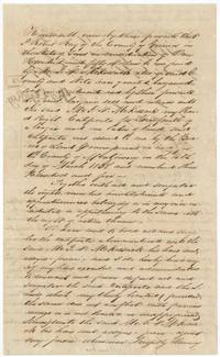 TransferRobert Ray of Grimes County sells his headright certificate 305 to Mc. I. A. McKissack for $150.General Land Office, file 571, page 8 · in the scan
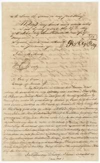 TransferSignature page of the Ray deed, 27 Oct 1847, with witnesses John M. Moody and Wm. C. Moody and the Grimes County notary's proof of 31 May 1852.General Land Office, file 571, page 9 · in the scan
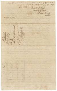 TransferNotary Uriah F. Case(?) closes the proof of the Ray deed, 31 May 1852; endorsed Record No. 374.General Land Office, file 571, page 10 · in the scan
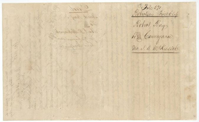
 WrapperBack of the Ray deed with file 571 docket 'Robert Ray to Conveyance, Mc. J. D. McKissick'.General Land Office, file 571, page 11 · in the scan
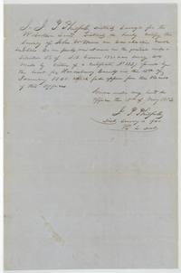 Surveyor's certificateJ. P. Philpott certifies that John W. Moore's Waxahachie Creek survey in Ellis County was made on certificate 1337 issued 15 Jan 1840.General Land Office, file 571, page 12 · in the scan
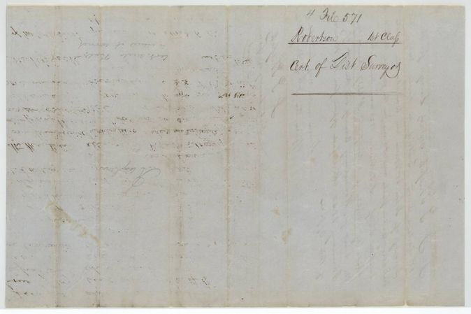
 WrapperBack of Philpott's certificate, docketed file 571 Cert. of Dist. Surveyor.General Land Office, file 571, page 13 · in the scan
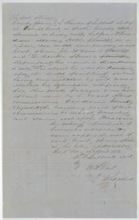 CertificateHarris County district clerk F. R. Lubbock certifies that John W. Moore's case about his augmentation certificate was discontinued, 5 April 1852.General Land Office, file 571, page 14 · in the scan
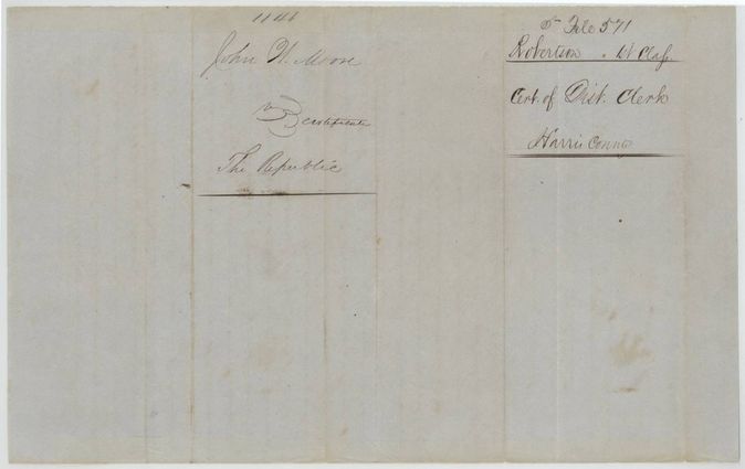
 WrapperBack of the Harris County clerk's certificate docketed John W. Moore v. The Republic, No. 1146.General Land Office, file 571, page 15 · in the scan
Scans courtesy of the Texas General Land Office, Austin, from its Land Grant Database.
Neighbouring surveys
Sources
- Texas General Land Office, Land Grant Database: Navarro County, Abstract 679
- The Land Office file, scanned (PDF, at the General Land Office)
- 1924 map: courtesy of the Texas General Land Office, Austin, Map 73249, used under licence. Topo: U.S. Geological Survey, The National Map. Aerial photographs: U.S. Department of Agriculture, National Agriculture Imagery Program, 2012, 2018 and 2022. Survey outlines: Railroad Commission of Texas, Original Texas Land Survey. Grant records and files: Texas General Land Office.