Blackland TX · ← All the original surveys
Joseph Garwood Survey, Abstract 929
- Granted to
- Joseph Garwood
- Kind of grant
- Bounty warrantLand paid for service in the army of the Republic.
- Land Office file
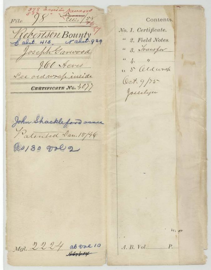
- Robertson Bounty, file 98
- Certificate
- No. 4077
- Acres
- 960
- Patented to
- John Shackelford
- Patent
- 15 Jan 1846 · No. 130, Vol. 2
Tap a survey to open its page.
What the file shows
Joseph Garwood earned a 960-acre Republic of Texas bounty certificate, No. 4077, for nine months' army service in 1836-37, and sold it within a week to Samuel M. Frost for $500. Frost sold it on to John Shackelford in 1840. B. J. Chambers surveyed the land on Chambers Creek in October 1840, and the patent, No. 130, Vol. 2, issued to Shackelford on 15 January 1846. The jacket splits the land between Navarro (378 acres) and Ellis counties.
The certificate
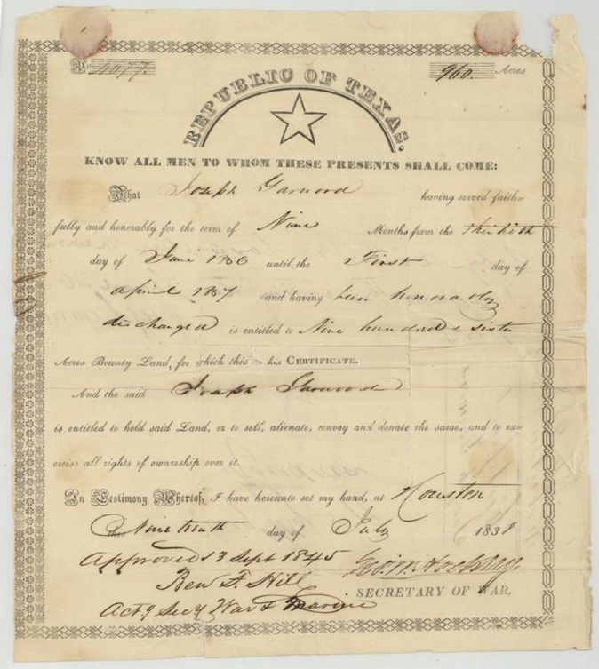
bounty land certificate (Republic of Texas, military service), No. 4077, 960 (jacket: 378 acres in Navarro County, 582 in Ellis County), George W. Hockley, Secretary of War; approved 3 Sept 1845 by Ben F. Hill(?), Acting Secretary of War and Marine, Houston, Republic of Texas, 19 Jul 1838.
Joseph Garwood served faithfully and honorably for nine months from 30 June 1836 until 1 April 1837 and was honorably discharged; entitled to 960 acres bounty land
Changes of hand
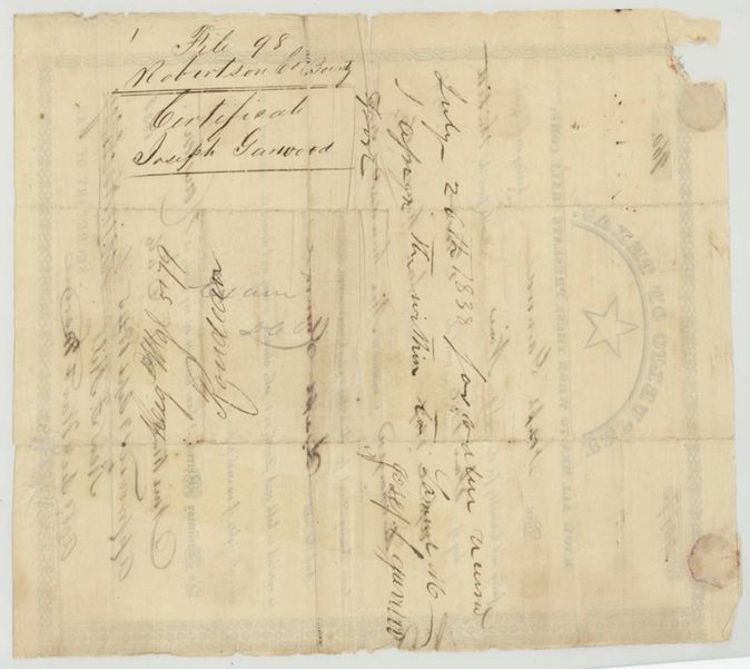
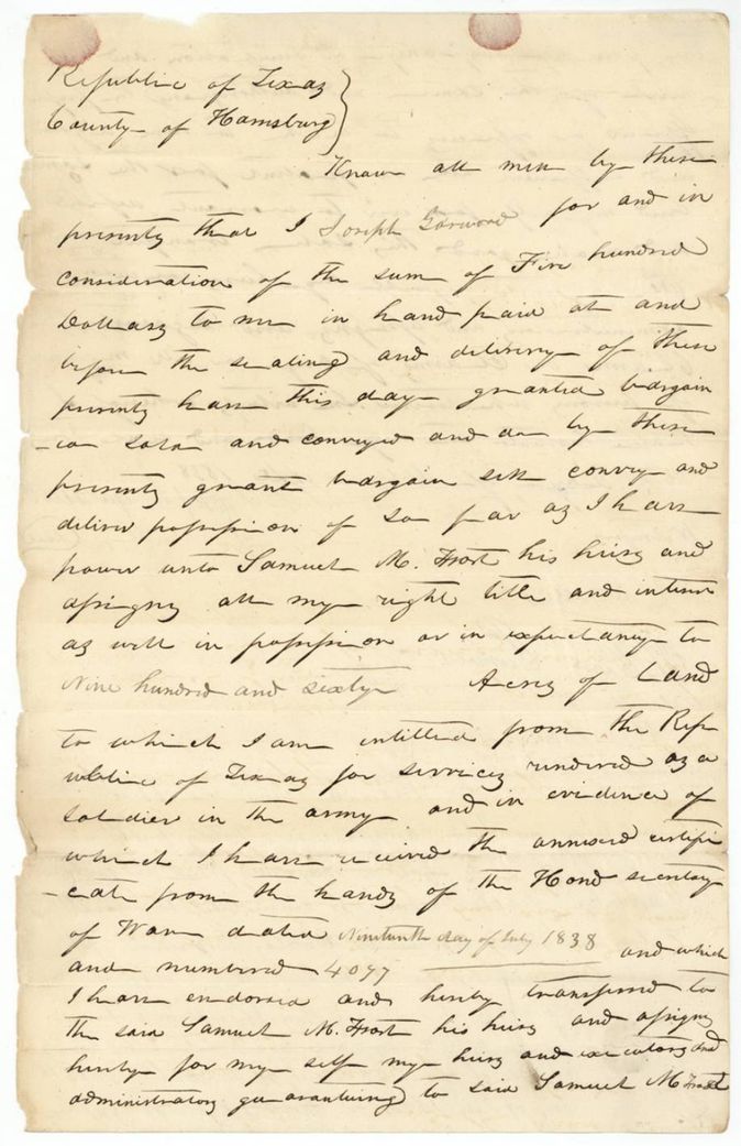
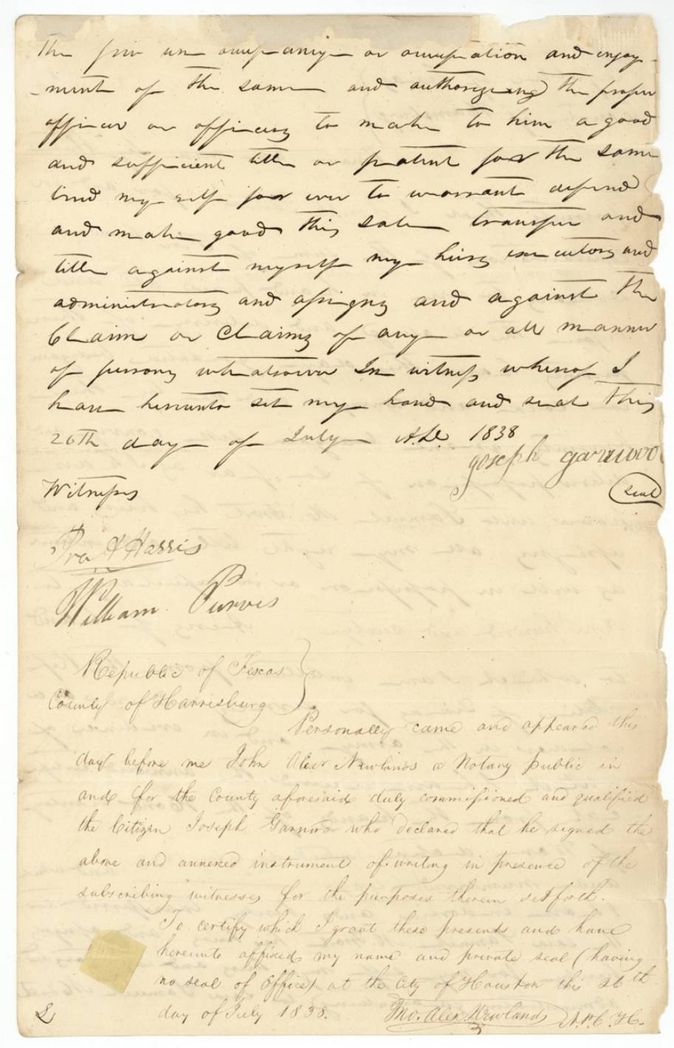
- 26 Jul 1838Joseph Garwood, of Harrisburg County → Samuel M. Frost, $500, Harrisburg County, Republic of Texas (acknowledged at Houston). Sells all right to the 960 acres and endorses certificate No. 4077
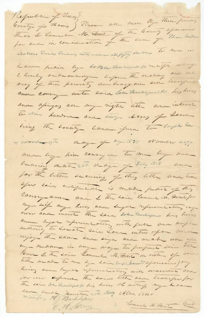
- 20 May 1840Samuel M. Frost, of Harris County → John Shackelford, $350(?) Texas money, Houston, Republic of Texas. Conveys the 960-acre bounty land certificate to Shackelford and empowers him to locate it
The survey
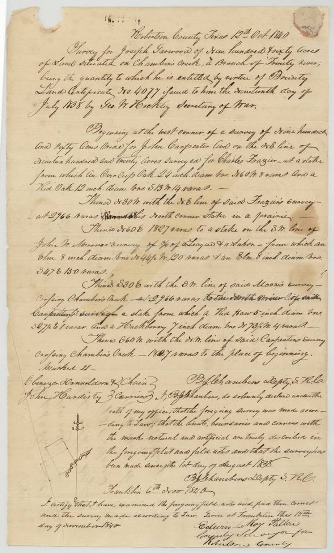
1840-10-12 (declared 1840-11-06), B. J. Chambers, Deputy Surveyor, Robertson County.
Robertson County, Texas (now Navarro County), on Chambers Creek, a branch of the Trinity River
Chain carriers: Ebenezer Donaldson, John Hardisty.
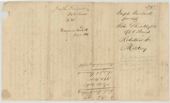
Navarro Book B, page 164 (back of field notes)
The patent
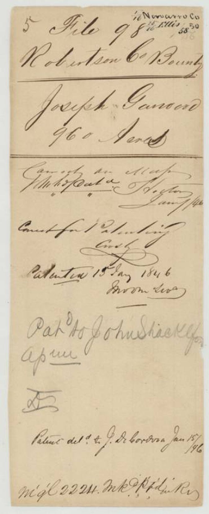
15 Jan 1846, No. 130, Vol. 2, to John Shackelford, assignee, delivered to J. De Cordova, 1846-01-15.
Also in the file
- One 960-acre bounty certificate was split between Navarro County (abstract 929, 378 acres per jacket) and Ellis County (abstract 415, 582 acres); the index shows 960 acres for abstract 929.
- The certificate was 'approved 3 Sept 1845', seven years after issue; a pencil note on the back of the field notes (p5) says 'The within warrant must be certified by the Secretary of War as genuine', which explains the late approval.
- A wrapper for Jacob Walker's bounty No. 38 (1920 acres, Nacogdoches Co.) is bound into this file by mistake.
- The survey is dated 12 Oct 1840 for a tract on Chambers Creek in Robertson County, which is Navarro County today (Navarro was cut from Robertson in 1846).
- The transfer to Frost is witnessed and acknowledged in 'Harrisburg' County on the same day, 26 July 1838, as an endorsement a week after the certificate was issued.
Timeline
- 30 Jun 1836Garwood's nine months of army service begin
- 1 Apr 1837Service ends with honourable discharge
- 19 Jul 1838Bounty certificate No. 4077 for 960 acres issued at Houston
- 26 Jul 1838Garwood sells the certificate to Samuel M. Frost for $500
- 20 May 1840Frost sells the certificate to John Shackelford
- 12 Oct 1840B. J. Chambers surveys 960 acres on Chambers Creek
- 19 Nov 1840County Surveyor examines the field notes
- 3 Sep 1845Certificate approved by the Acting Secretary of War
- 15 Jan 1846Patent No. 130, Vol. 2 to John Shackelford, assignee, delivered to J. De Cordova
The papers in the file
Every page of the Land Office file, in the order the Land Office keeps them (12 pages). Tap a page to see it larger.
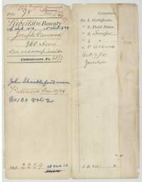 File jacketFile jacket 98 for Joseph Garwood's 960-acre bounty, Navarro abstract 929 and Ellis abstract 415, patented to John Shackelford 15 January 1846.General Land Office, file 98, page 1 · in the scan
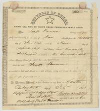 CertificateRepublic of Texas bounty certificate No. 4077 for 960 acres to Joseph Garwood for nine months' army service, 1838.General Land Office, file 98, page 2 · in the scan
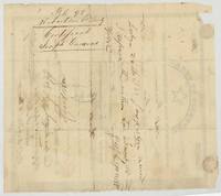 Back of the certificateBack of the certificate with the endorsement to Frost of 26 July 1838 and file labels.General Land Office, file 98, page 3 · in the scan
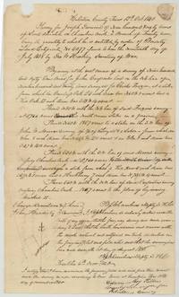 Field notesB. J. Chambers' field notes and plat of 960 acres on Chambers Creek for Garwood, 12 October 1840.General Land Office, file 98, page 4 · in the scan
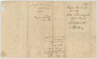 WrapperBack of the field notes endorsed Joseph Garwood per assignee John Shackelford, recorded Navarro Book B page 164, with a pencil note that the warrant needs War Department certification.General Land Office, file 98, page 5 · in the scan
 WrapperStray wrapper for Jacob Walker's 1920-acre bounty No. 38, Nacogdoches County, misfiled here.General Land Office, file 98, page 6 · in the scan
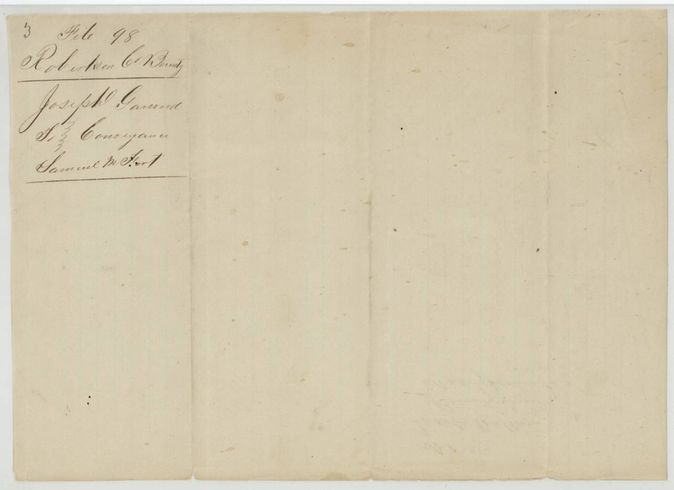
 WrapperWrapper labelled file 98 transfer, Joseph Garwood to Samuel M. Frost.General Land Office, file 98, page 7 · in the scan
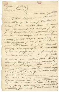 TransferJoseph Garwood sells his 960-acre bounty certificate No. 4077 to Samuel M. Frost for $500, 26 July 1838.General Land Office, file 98, page 8 · in the scan
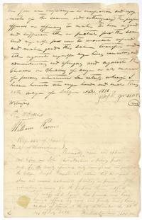 TransferGarwood signs before witnesses and notary John Alex Newland at Houston, 26 July 1838.General Land Office, file 98, page 9 · in the scan
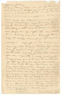 TransferSamuel M. Frost sells the 960-acre bounty certificate to John Shackelford at Houston, 20 May 1840.General Land Office, file 98, page 10 · in the scan
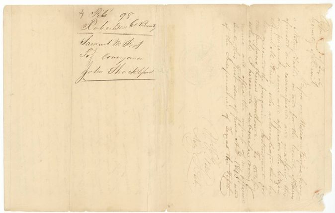
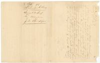 WrapperBack of the Frost to Shackelford conveyance, with William Fairfax Gray's notarial acknowledgement at Houston, 1 June 1840.General Land Office, file 98, page 11 · in the scan
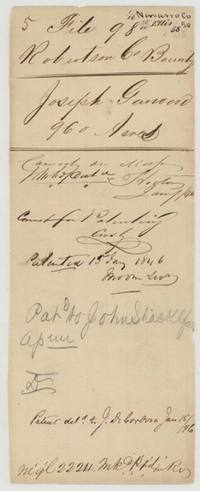 File jacketPatent jacket for file 98 recording the patent to John Shackelford, assignee, 15 January 1846, delivered to J. De Cordova.General Land Office, file 98, page 12 · in the scan
Scans courtesy of the Texas General Land Office, Austin, from its Land Grant Database.
Neighbouring surveys
Sources
- Texas General Land Office, Land Grant Database: Navarro County, Abstract 929
- The Land Office file, scanned (PDF, at the General Land Office)
- 1924 map: courtesy of the Texas General Land Office, Austin, Map 73249, used under licence. Topo: U.S. Geological Survey, The National Map. Aerial photographs: U.S. Department of Agriculture, National Agriculture Imagery Program, 2012, 2018 and 2022. Survey outlines: Railroad Commission of Texas, Original Texas Land Survey. Grant records and files: Texas General Land Office.