Blackland TX · ← All the original surveys
Joseph Linscomb Survey, Abstract 487
- Granted to
- Joseph Linscomb
- Kind of grant
- Headright, second classLand for settlers who came between independence and 1 October 1837.
- Land Office file
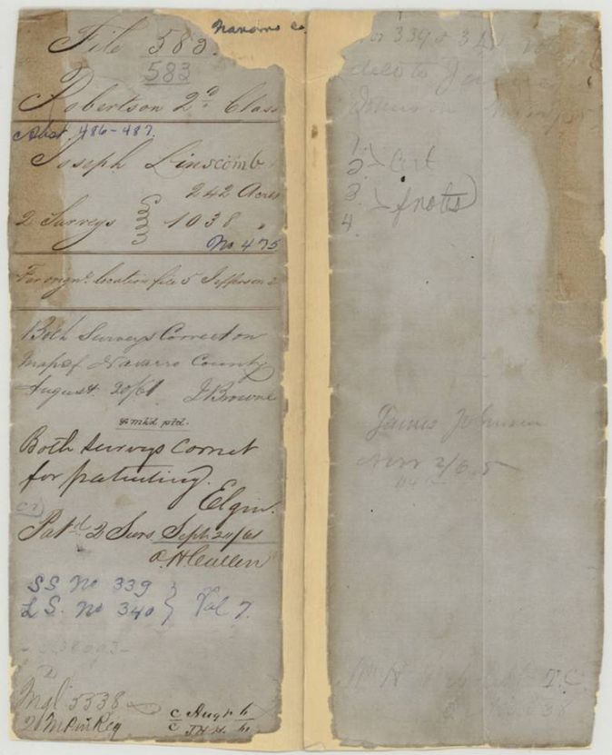
- Robertson 2nd class, file 583
- Certificate
- No. 475
- Acres
- 1038
- Patented to
- Joseph Linscomb
- Patent
- 20 Sep 1861 · No. 340, Vol. 7
Tap a survey to open its page.
What the file shows
Joseph Linscomb's 1280-acre second-class headright certificate no. 475 was issued at Jasper in 1838 for a married man who arrived in Texas in August 1837. It was located in Navarro County in two surveys by J. M. Eliot: 1038 acres on Briar Creek in 1857 and the remaining 242 acres on Richland Creek in 1859, both worked through W. H. Neblett. Both were patented together in September 1861 as abstracts 487 and 486.
The certificate
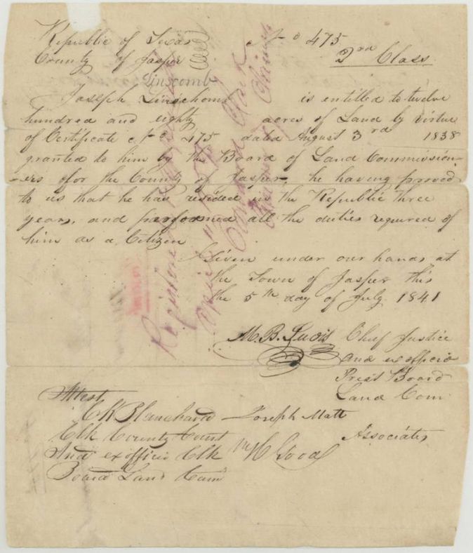
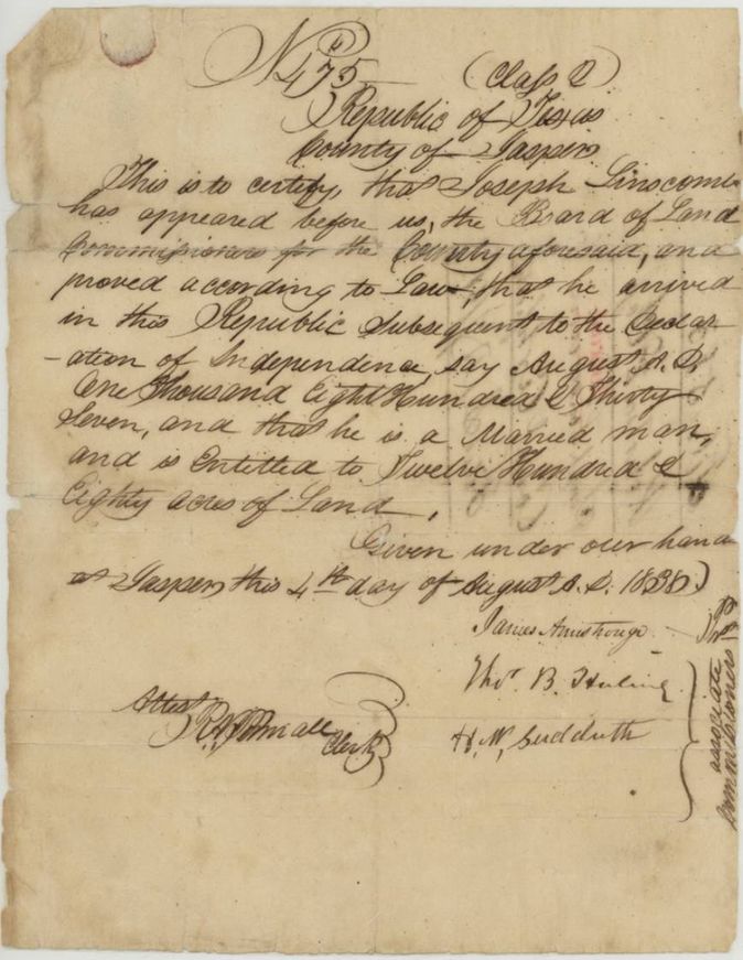
headright 2nd class (Republic of Texas; Jasper County Board of Land Commissioners), No. 475, 1280 (1038 + 242 located in this file), Board of Land Commissioners for Jasper County: James Armstrong, Thos. B. Huling(?), H. N. Sudduth(?), associates; attested by R. P. Pinnell(?), Clerk. Reissued/countersigned 5 July 1841 at Jasper by M. B. Lewis(?), Chief Justice and ex-officio President of the Board of Land Commissioners, with Joseph Matt(?) and another, associates; attested C. K. Blanchard(?), Clerk County Court and ex officio Clerk of the Board, Jasper, Republic of Texas, 1838-08-04 (second paper dated 1841-07-05; the 1841 paper says certificate dated August 3rd 1838).
Proved that he arrived in the Republic after the Declaration of Independence, in August 1837, and that he is a married man, entitled to twelve hundred and eighty acres; 1841 paper adds that he had resided in the Republic three years and performed all duties required of a citizen
The survey
1857-09-03 (certified 1857-09-12), J. M. Eliot, Deputy Surveyor for Robertson Land District (abstract 487).
Navarro County, on the waters of Briar Creek, about 6 1/2 miles N 50 W from Corsicana; red ink alters the distance to 9 miles and writes 63°(?) over the bearing
Chain carriers: W. C. Morgan, F. M. Johnson.
Book H(?), page not clear; wrapper 'Correct Book H pages(?)'
The survey
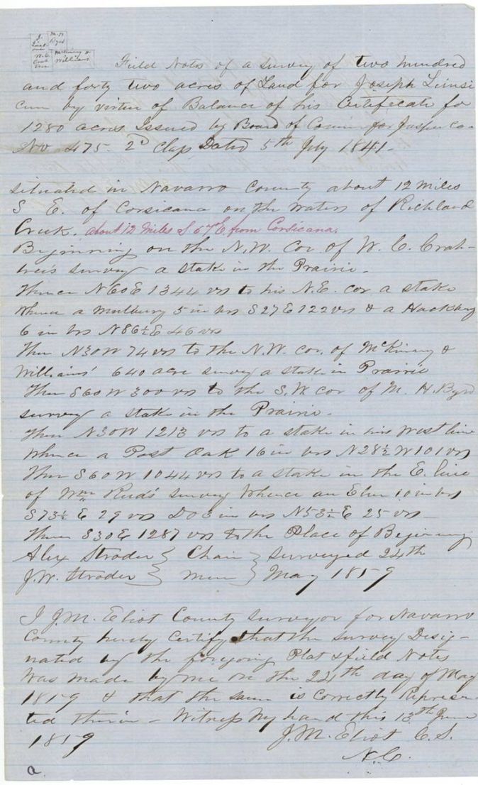
1859-05-24 (certified 1859-06-13), J. M. Eliot, County Surveyor for Navarro County (abstract 486).
Navarro County, about 12 miles SE of Corsicana on the waters of Richland Creek (red ink: about 12 miles S 57 E from Corsicana)
Chain carriers: Alex Strader, J. W. Strader.
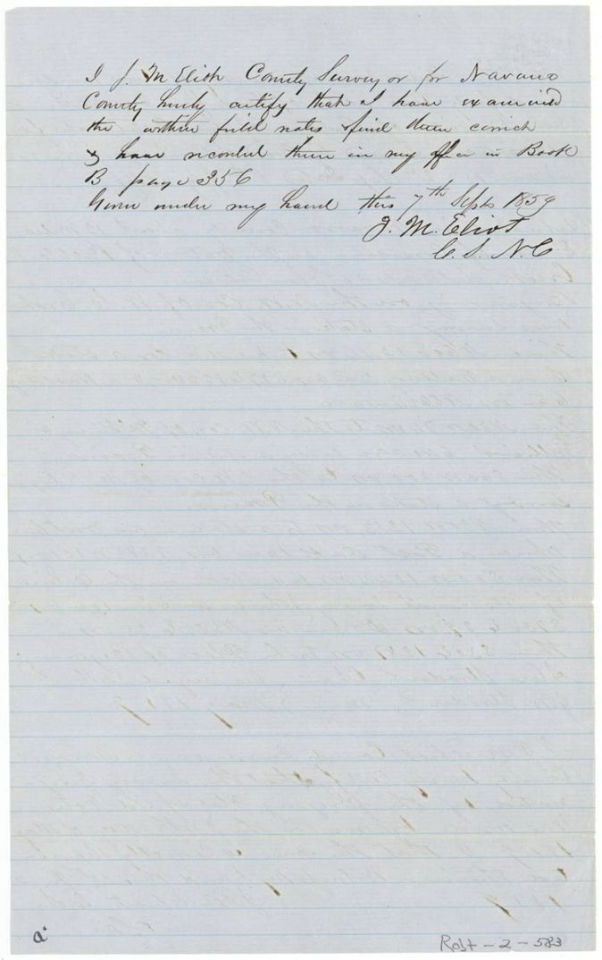
Book B, page 356
The patent
1861-09-24 (jacket 'Pat'd Sept 24/61'; index says 20 Sep 1861), SS (small survey) No. 339 and LS (large survey) No. 340, Vol. 7, to Joseph Linscomb (index); claimant on the field-note wrappers is W. H. Neblett, delivered to James Johnson (?), Nov 2/65(?) - pencil on jacket back.
Also in the file
- Index patent date is 20 Sep 1861; the jacket and both wrappers say 'Pat'd Sept 24/61'.
- Two papers for the same certificate: one dated 4 Aug 1838 (arrived Aug 1837, married man) and one dated 5 July 1841 (said to be dated Aug 3rd 1838, three years residence); the 1838 paper is the conditional certificate and the 1841 paper the unconditional one issued after three years' residence.
- The 1857 survey of 1038 acres was made in Briar Creek country northwest of Corsicana, yet the 1859 survey of 242 acres lies on Richland Creek about 12 miles SE; the two tracts are far apart.
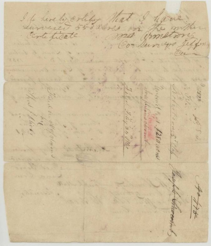
- A Jefferson County surveyor's note on the certificate says 55(?) acres were earlier surveyed on it, and the jacket points to an original location in Jefferson County file 5; the Navarro surveys are described as the remainder.
- Distance and bearing from Corsicana in the 1857 field notes are corrected in red ink (6 1/2 to 9 miles; bearing N 50 W marked 63°(?)).
- The year of Oliver's examination on page 7 reads 1854 but the survey is Sept 1857.
- The 1857 survey was relocated 1859 on application of W. H. Neblett, who appears to hold the certificate by purchase although no transfer is in the file.
- Total of 1038 + 242 = 1280 acres exactly uses up the certificate (index shows two abstracts).
Timeline
- Aug 1837Date he says he arrived in the Republic
- 4 Aug 1838Jasper County Board of Land Commissioners issue conditional certificate No. 475 for 1280 acres
- 5 Jul 1841Jasper County board issues the unconditional certificate after three years' residence
- 3 Sep 1857J. M. Eliot surveys 1038 acres on Briar Creek
- 12 Sep 1857Eliot certifies the 1038-acre survey
- 24 May 1859Eliot surveys 242 acres on Richland Creek
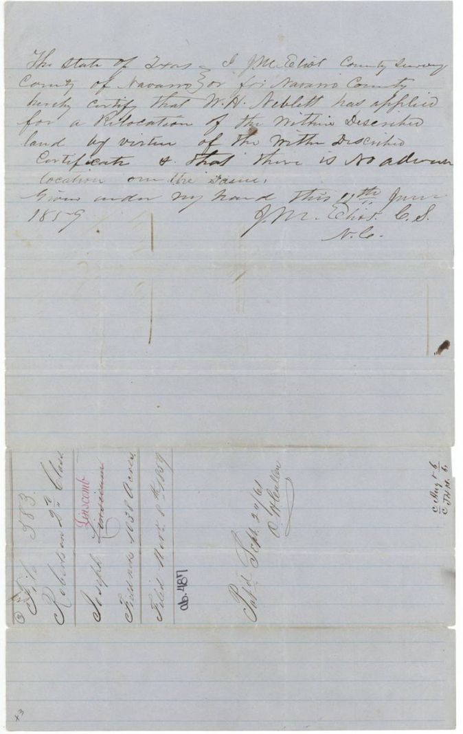
- 13 Jun 1859Eliot certifies the 242-acre survey; June 1859 relocation certificate for W. H. Neblett
- 7 Sep 1859242-acre notes examined and recorded, Book B p. 356
- 8 Nov 1859Field notes for both surveys filed in the General Land Office
- 24 Feb 1860Unconditional certificate filed in the Office of Claims by Thos. J. Oliver (year doubtful)
- 20 Aug 1861Both surveys checked correct on the Navarro County map
- 7 Sep 1861Conditional certificate filed
- 24 Sep 1861Patents issued, Nos. 339 and 340, Vol. 7 (index 20 Sep 1861)
The papers in the file
Every page of the Land Office file, in the order the Land Office keeps them (16 pages). Tap a page to see it larger.
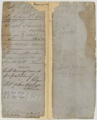 File jacketFile jacket for Joseph Linscomb, two surveys of 242 and 1038 acres, certificate 475, patented Sept 1861, Vol. 7 Nos. 339 and 340.General Land Office, file 583, page 1 · in the scan
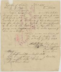 CertificateJasper County unconditional certificate of 5 July 1841: Joseph Linscomb, three years resident, entitled to 1280 acres by certificate 475 of 3 Aug 1838.General Land Office, file 583, page 2 · in the scan
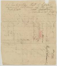 Back of the certificateBack of the unconditional certificate with a Jefferson County surveyor's note of an earlier survey and a docket 'Uncond. Cert. 1280 acres' filed Feb 24 1860(?).General Land Office, file 583, page 3 · in the scan
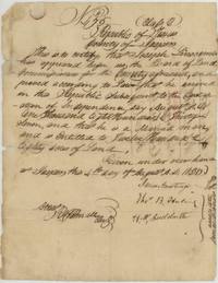 CertificateJasper County conditional certificate 475 of 4 Aug 1838: Joseph Linscomb, married man arrived August 1837, 1280 acres.General Land Office, file 583, page 4 · in the scan
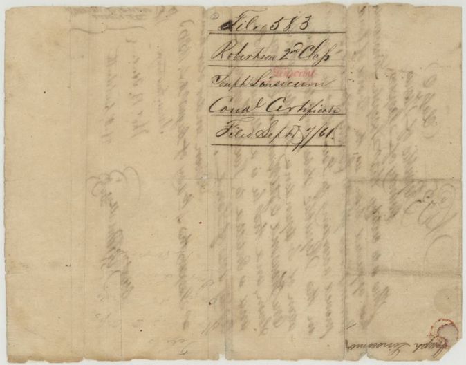
 WrapperBack of the certificate showing file 583 label 'Cond. Certificate' filed Sept 7/61.General Land Office, file 583, page 5 · in the scan
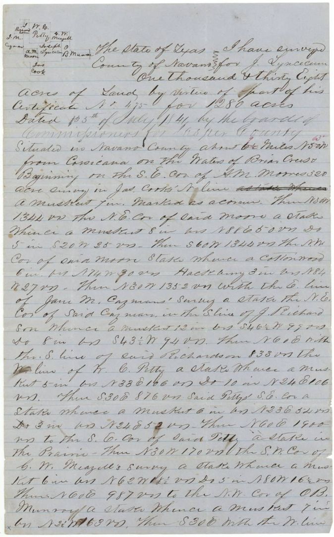
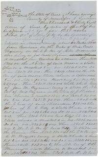 Field notesField notes of 1038 acres surveyed for J. Linscomb on Briar Creek, Navarro County, with plat sketch of neighbours.General Land Office, file 583, page 6 · in the scan
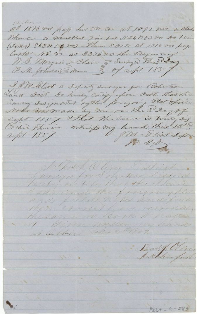
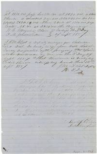 Surveyor's certificateEnd of the 1038-acre field notes with chain carriers W. C. Morgan and F. M. Johnson and J. M. Eliot's oath.General Land Office, file 583, page 7 · in the scan
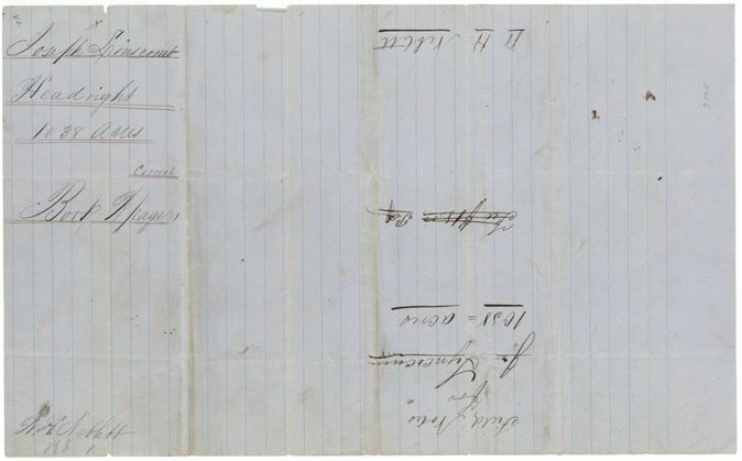
 WrapperWrapper for the 1038-acre field notes marked Headright, Correct, with W. H. Neblett's name.General Land Office, file 583, page 8 · in the scan
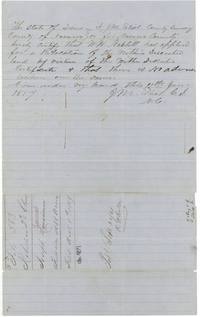 Surveyor's certificateJ. M. Eliot certifies that W. H. Neblett applied to relocate the land and there is no adverse location; file label dated Nov 8 1859.General Land Office, file 583, page 9 · in the scan
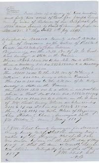 Field notesField notes of 242 acres for Joseph Linscomb, balance of certificate 475, on Richland Creek, surveyed 24 May 1859.General Land Office, file 583, page 10 · in the scan
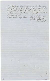 Surveyor's certificateJ. M. Eliot certifies the 242-acre notes examined and recorded in Book B page 356.General Land Office, file 583, page 11 · in the scan
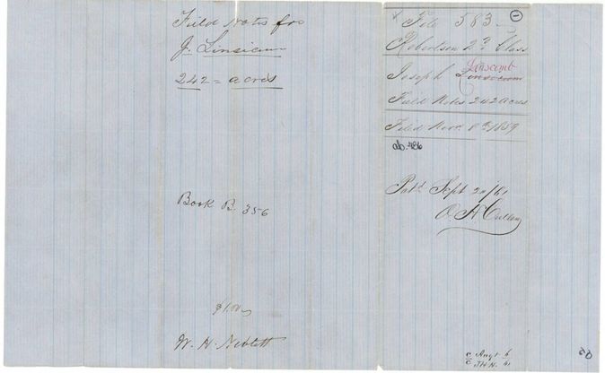
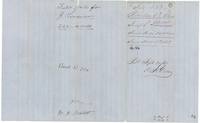 WrapperWrapper for the 242-acre field notes, file 583, filed Nov 8 1859, patented Sept 24 1861 by O. H. Cullen.General Land Office, file 583, page 12 · in the scan
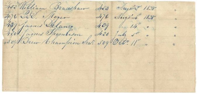
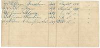 Other papersFragment of a Jasper County register listing certificates 420, 439, 453, 476 and 509 with their 1838 dates.General Land Office, file 583, page 13 · in the scan
 WrapperBack of a register fragment endorsed Rob. 2nd 583.General Land Office, file 583, page 14 · in the scan
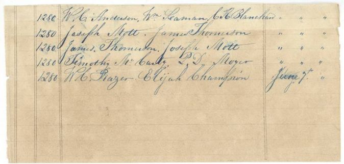
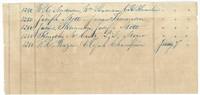 Other papersFragment listing five 1280-acre entries with names of commissioners or witnesses such as W. C. Anderson and Joseph Mott.General Land Office, file 583, page 15 · in the scan
 BlankBack of a register fragment endorsed 583 Rob. 2.General Land Office, file 583, page 16 · in the scan
Scans courtesy of the Texas General Land Office, Austin, from its Land Grant Database.
On this ground today
- CemeteryPattison
Places that stand inside this survey’s lines as the state’s survey map draws them.
Neighbouring surveys
Sources
- Texas General Land Office, Land Grant Database: Navarro County, Abstract 487
- The Land Office file, scanned (PDF, at the General Land Office)
- 1924 map: courtesy of the Texas General Land Office, Austin, Map 73249, used under licence. Topo: U.S. Geological Survey, The National Map. Aerial photographs: U.S. Department of Agriculture, National Agriculture Imagery Program, 2012, 2018 and 2022. Survey outlines: Railroad Commission of Texas, Original Texas Land Survey. Grant records and files: Texas General Land Office.