Blackland TX · ← All the original surveys
James Cook Survey, Abstract 174
- Granted to
- James Cook
- Kind of grant
- Headright, third classLand for later settlers, including the colonists of Mercer’s Colony.
- Land Office file
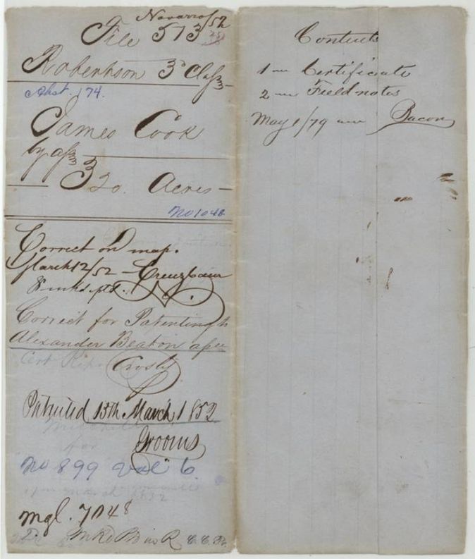
- Robertson 3rd class, file 513
- Certificate
- No. 1048
- Acres
- 320
- Patented to
- Alexander Beaton
- Patent
- 15 Mar 1852 · No. 899, Vol. 6
Tap a survey to open its page.
What the file shows
James Cook received Mercer's Colony certificate No. 1048 for 320 acres from Commissioner John M. Crockett at Corsicana on 7 June 1850 and sold it the same day to Alexander Beaton. Deputy surveyor David R. Mitchell located the 320 acres on Brier Creek on 12 October 1850, and the patent issued to Beaton as assignee on 15 March 1852.
The certificate
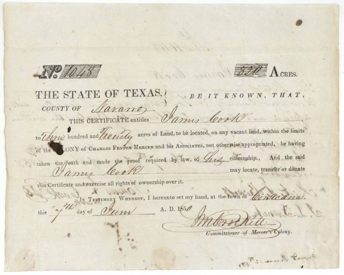
headright (Mercer's Colony certificate), 3rd class, No. 1048, 320 acres, John M. Crockett, Commissioner of Mercer's Colony, Corsicana, Navarro County, 7 Jun 1850.
Printed form: James Cook, having taken the oath and made the proof required by law of his citizenship, is entitled to 320 acres to be located on vacant land within the limits of the colony of Charles Fenton Mercer and his Associates.
Changes of hand
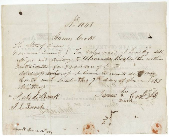
- 7 Jun 1850James Cook (signs by his mark) → Alexander Beaton, 'for value received' (amount not stated), Navarro County, Texas. Written on the back of Certificate No. 1048; sells, assigns and conveys the whole 320-acre certificate; endorsed 'Proved June 12th 1850'.
The survey
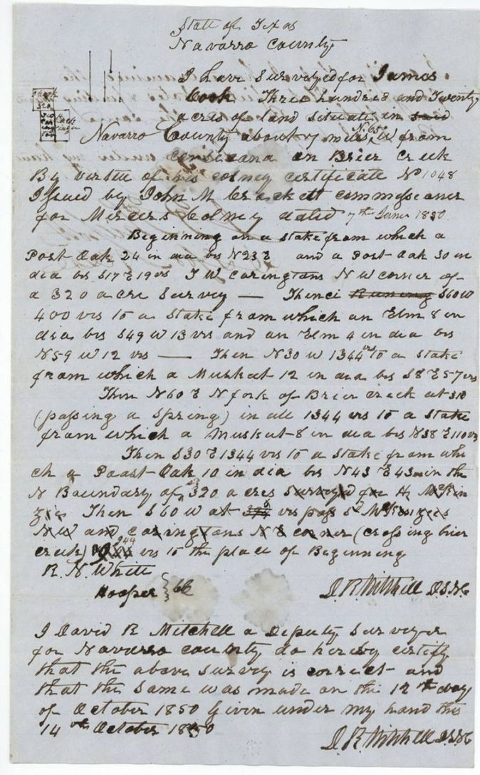
1850-10-12 (certified 1850-10-14), David R. Mitchell, Deputy Surveyor, Navarro County.
Navarro County, about 7(?) miles W (bearing 'N 65' interlined, i.e. N 65 W) from Corsicana, on Brier Creek
Chain carriers: R. N. White, Hooper.
Book I(?), page 258
The patent
15 Mar 1852, No. 899, Vol. 6, to Alexander Beaton, assignee, delivered to not stated.
Also in the file
- Certificate and transfer are the same day, 7 June 1850: Cook sold to Beaton at once, so the survey for 'James Cook' was made for Beaton.
- The word 'three' in the certificate form is written over 'two'(?) and the printed '320' is struck through and rewritten.
- Mercer's Colony certificate issued at Corsicana by John M. Crockett, yet patent class is recorded as Robertson 3rd class.
- The bearing from Corsicana is written 'W' with 'N 65' interlined above it (N 65 W); the distance is about 7(?) miles.
Timeline
- 7 Jun 1850Mercer's Colony certificate No. 1048 for 320 acres issued to James Cook at Corsicana; same day he assigns it to Alexander Beaton
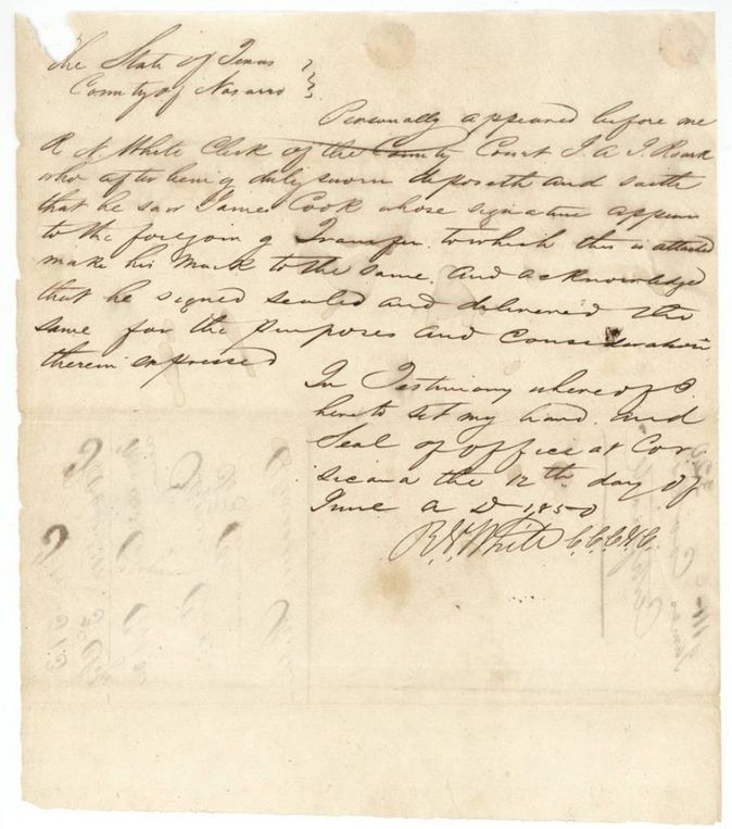
- 12 Jun 1850Transfer proved before R. N. White, Clerk of the County Court, Navarro County
- 12 Oct 1850David R. Mitchell surveys 320 acres on Brier Creek
- 14 Oct 1850Mitchell certifies the survey
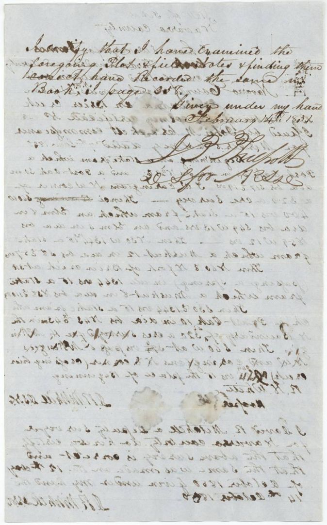
- 14 Feb 1851Examined and recorded by the district surveyor, Book I(?) page 258
- 12 Mar 1852Marked correct on the county map
- 15 Mar 1852Patent No. 899 Vol. 6 to Alexander Beaton, assignee
The papers in the file
Every page of the Land Office file, in the order the Land Office keeps them (8 pages). Tap a page to see it larger.
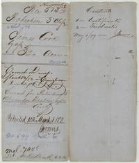 File jacketFile jacket for James Cook's 320 acres, Abst 174, by assignee, with the patent entry to Alexander Beaton, 15 March 1852, No. 899 Vol. 6.General Land Office, file 513, page 1 · in the scan
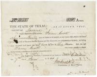 CertificateMercer's Colony Certificate No. 1048 for 320 acres to James Cook, signed by Commissioner J. M. Crockett at Corsicana, 7 June 1850.General Land Office, file 513, page 2 · in the scan
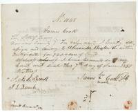 TransferBack of the certificate: James Cook, by his mark, sells and assigns it to Alexander Beaton on 7 June 1850, witnessed by Roark(?) and J. L. French.General Land Office, file 513, page 3 · in the scan
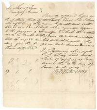 AffidavitNavarro County Clerk R. N. White certifies at Corsicana that Roark(?) swore he saw James Cook make his mark on the transfer, 12 June 1850.General Land Office, file 513, page 4 · in the scan
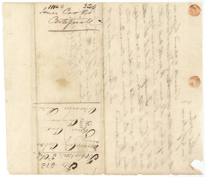
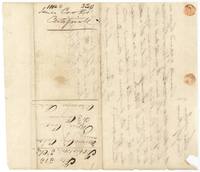 WrapperWrapper for James Cook's Mercer's Colony certificate No. 1048, 320 acres, File 513 Robertson 3rd class, with faint bleed-through of the written text.General Land Office, file 513, page 5 · in the scan
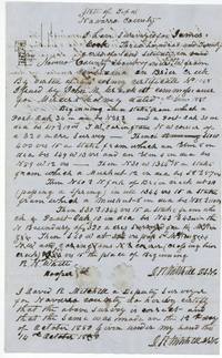 Field notesDavid R. Mitchell's field notes and sketch plat of 320 acres for James Cook on Brier Creek, about 7(?) miles N 65 W of Corsicana, surveyed 12 October 1850.General Land Office, file 513, page 6 · in the scan
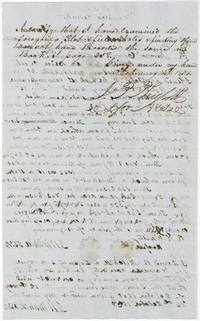 Surveyor's certificateDistrict surveyor's certificate of examination and recording in Book I page 258, 14 February 1851, written over the mirrored text of the field notes.General Land Office, file 513, page 7 · in the scan
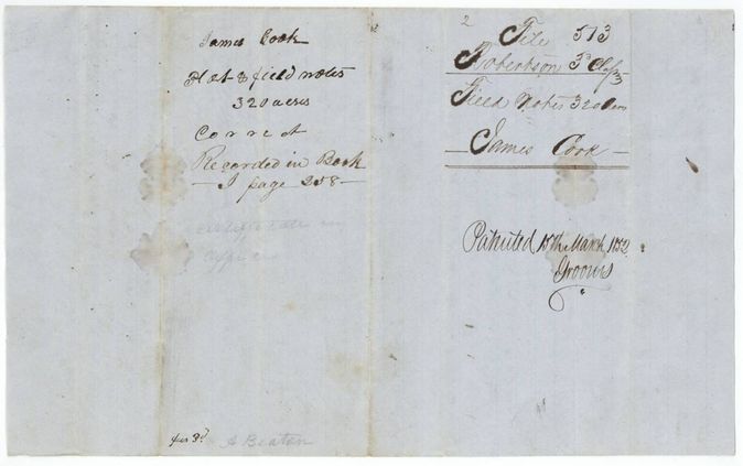
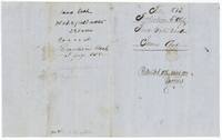 WrapperWrapper for the plat and field notes, endorsed File 513 Robertson 3rd class, patented 15 March 1852, and 'recorded in Book I page 258'.General Land Office, file 513, page 8 · in the scan
Scans courtesy of the Texas General Land Office, Austin, from its Land Grant Database.
Neighbouring surveys
Sources
- Texas General Land Office, Land Grant Database: Navarro County, Abstract 174
- The Land Office file, scanned (PDF, at the General Land Office)
- 1924 map: courtesy of the Texas General Land Office, Austin, Map 73249, used under licence. Topo: U.S. Geological Survey, The National Map. Aerial photographs: U.S. Department of Agriculture, National Agriculture Imagery Program, 2012, 2018 and 2022. Survey outlines: Railroad Commission of Texas, Original Texas Land Survey. Grant records and files: Texas General Land Office.