Blackland TX · ← All the original surveys
Stephen F. Minton Survey, Abstract 888
- Granted to
- Stephen F. Minton
- Kind of grant
- Headright, third classLand for later settlers, including the colonists of Mercer’s Colony.
- Land Office file
- Robertson 3rd class, file 5611
- Certificate
- No. 22/235
- Acres
- 117
- Patented to
- James Garrity
- Patent
- 11 Sep 1878 · No. 463 1/2, Vol. 44
Tap a survey to open its page.
What the file shows
In October 1877 the General Land Office issued Stephen F. Minton an unlocated balance certificate for 285 3/10 acres. County surveyor B. F. Marchbanks surveyed 121.51 acres 3 1/2 miles southeast of Corsicana (abstract 887) and 117 acres about 8 miles northwest (abstract 888). The first was found to lie on William Allen's older survey and could not be patented, while the second was patented to James Garrity as assignee in September 1878.
The certificate
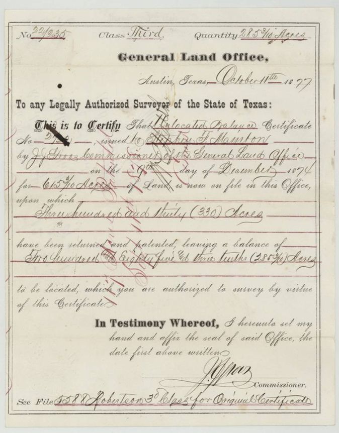
unlocated (relocated) balance certificate, 3rd class, bounty, No. 22/235 (issued from relocated balance certificate No. 2?20(?) of 9 Dec 1874), 285 3/10 (121.51 located in abstract 887; 117 in abstract 888), J. J. Groos, Commissioner of the General Land Office, Austin, 11 Oct 1877.
Relocated balance certificate issued to Stephen F. Minton by J. J. Groos on 9 December 1874 for 615 3/10 acres, on which 330 acres had been returned and patented, leaving a balance of 285 3/10 acres to be located; any legally authorized surveyor is authorized to survey it
The survey
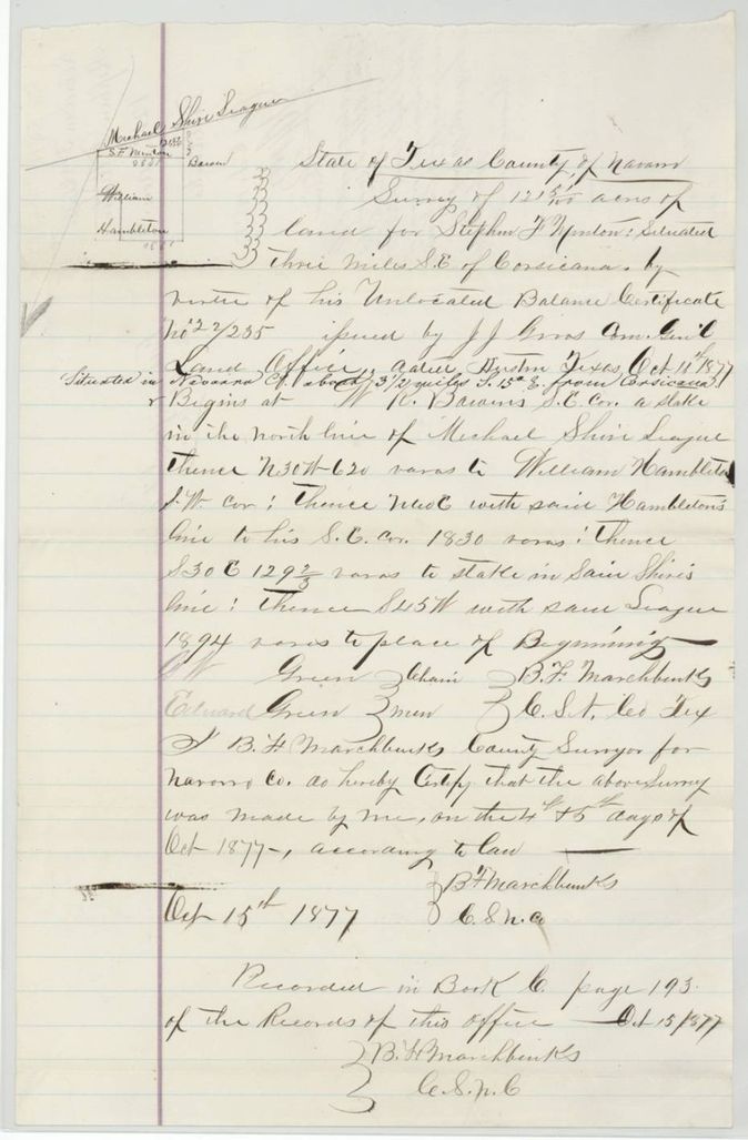
1877-10-04/05 (certified and recorded 1877-10-15), B. F. Marchbanks, County Surveyor of Navarro County.
Navarro County, about 3 1/2 miles S 15 E from Corsicana
Chain carriers: O. W. Green(?), Edward Green.
Book C, page 193
The survey
1877-10-17 (certificate date), B. F. Marchbanks, County Surveyor of Navarro County.
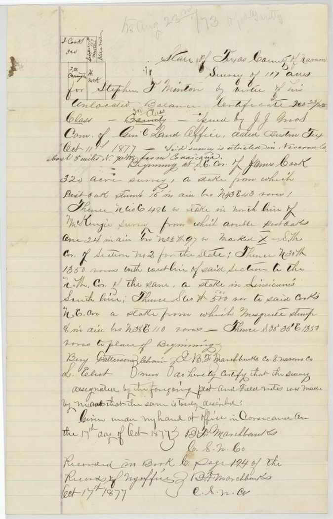
Navarro County, about 8 miles N 70(?) W from Corsicana
Chain carriers: Ben Patterson, L. Elliot(?).
Book C, page 194
The patent
1878-09-11 (abstract 888 only; abstract 887 not patented), No. 463 1/2, Vol. 44, to James Garrity, assignee, delivered to not stated.
Also in the file
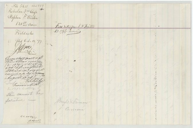
- The 121.51-acre survey (abstract 887) was never patented: it was meant to cover the part of William Allen's survey (file 3-1872) out of conflict, and the Land Office wrote 'Surrounded. 3-1872 is older. This cannot be patented.'
- Index shows no patentee or patent for abstract 887 and a patent to James Garrity for 888, consistent with the jacket; the jacket shows 121 51/100 struck out and 117 acres kept.
- Certificate quantity on the face is 285 3/10 acres; 121.51 + 117 = 238.51, so about 46.8 acres of the balance were not located in this file.
- The certificate is a relocated balance certificate issued to Minton in December 1874 for 615 3/10 acres, of which 330 acres had already been patented; the original certificate is in File 5588.
- The 117-acre survey is 8 miles from Corsicana while the 121.51-acre survey is 3 1/2 miles from town, so the two abstracts lie far apart despite sharing one file.
- No deed from Minton to Garrity is in the file; Garrity's title is shown only by the patent order 'to James Garrity, assignee' on the jacket. The jacket's red-ink note points to file 5548(?) for the original certificate and transfer(?).
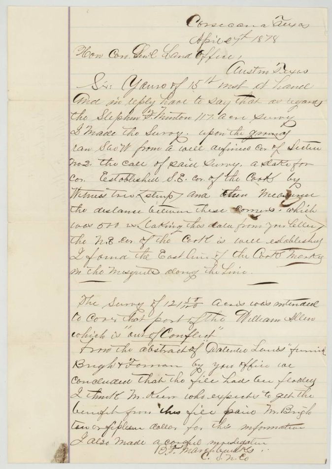
- Marchbanks' letter (page 10) says that from the Land Office abstract of 'Defective Lands' furnished to Bright & Forman 'we concluded that the file had been floated(?)', and that Mr. Kerr(?), who expected to benefit from this file, paid Mr. Bright ten or fifteen dollars for the information; the letter breaks off mid-sentence.
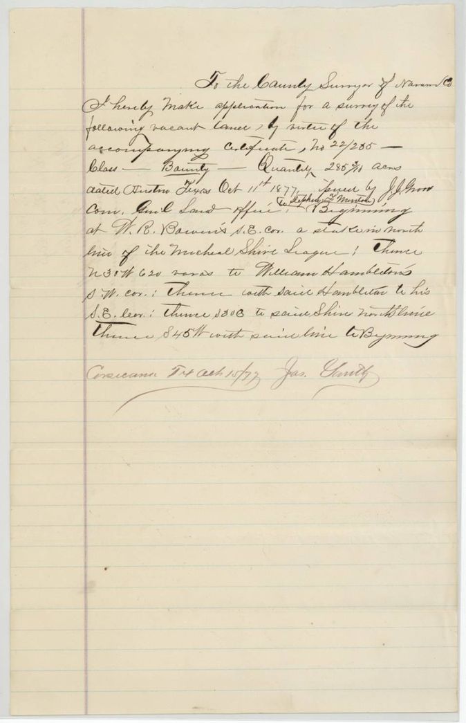
- Application page gives Jas. Smith as applicant, with 'Stephen F. Minton' written above the line.
- The 121.51-acre field notes say the survey was made on 4 and 5 October 1877, a week before the certificate they cite (issued 11 Oct 1877) existed; the application wrapper says it was filed 15 Oct 1877 and the survey made the same day at 12 M.
Timeline
- 9 Dec 1874J. J. Groos issues a relocated balance certificate to Stephen F. Minton for 615 3/10 acres
- 4 Oct 1877B. F. Marchbanks surveys 121.51 acres 3 1/2 miles S 15 E of Corsicana (4th and 5th, by his certificate - before the certificate he cites was issued)
- 11 Oct 1877General Land Office issues unlocated balance certificate 22/235 for 285 3/10 acres
- 15 Oct 1877121.51-acre survey certified and recorded in Book C p. 193; application for survey filed
- 17 Oct 1877117-acre survey certified and recorded in Book C p. 194
- 18 Oct 1877Certificate and field notes filed in the General Land Office
- 27 Apr 1878Marchbanks writes the Land Office about the 117-acre survey (day reads 27th(?))
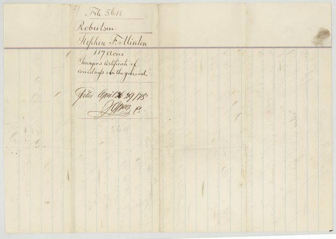
- 29 Apr 1878Surveyor's certificate of correctness filed
- 19 Aug 1878Surveys checked on the county map; 121.51 acres found surrounded by an older survey
- 20 Aug 1878Patent survey for 117 acres noted to James Garrity, assignee
- 11 Sep 1878Patent No. 463 1/2 Vol. 44 to James Garrity, assignee, for 117 acres
The papers in the file
Every page of the Land Office file, in the order the Land Office keeps them (11 pages). Tap a page to see it larger.
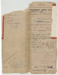 File jacketFile jacket 5611, Robertson Third Class, abstracts 887-888, Stephen F. Minton, 117 acres, patented to James Garrity 11 September 1878 as No. 463 1/2 Vol. 44.General Land Office, file 5611, page 1 · in the scan
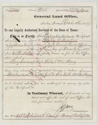 CertificateGeneral Land Office unlocated balance certificate 22/235 for 285 3/10 acres issued to Stephen F. Minton by Commissioner J. J. Groos, Austin, 11 October 1877.General Land Office, file 5611, page 2 · in the scan
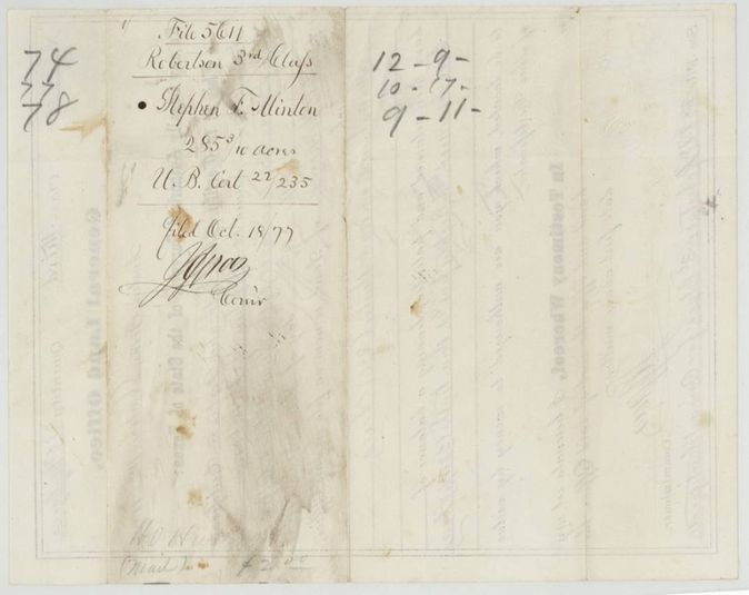
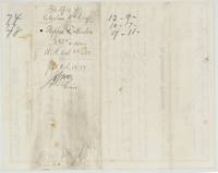 Back of the certificateBack of the certificate with docket naming Stephen F. Minton, 285 3/10 acres, filed 18 October 1877.General Land Office, file 5611, page 3 · in the scan
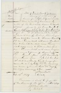 Field notesField notes and sketch of 121 51/100 acres for Minton 3 1/2 miles southeast of Corsicana by B. F. Marchbanks, recorded Book C page 193.General Land Office, file 5611, page 4 · in the scan
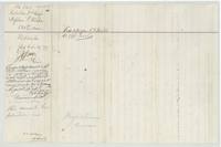 WrapperWrapper for the 121.51-acre field notes, with the Land Office note that it lies on William Allen's older survey and cannot be patented.General Land Office, file 5611, page 5 · in the scan
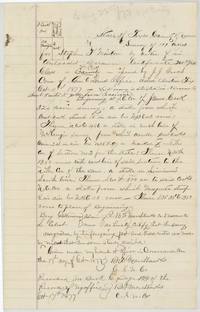 Field notesField notes and sketch of 117 acres for Minton about 8 miles northwest of Corsicana by B. F. Marchbanks, recorded Book C page 194.General Land Office, file 5611, page 6 · in the scan
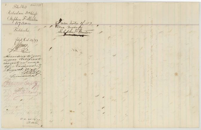
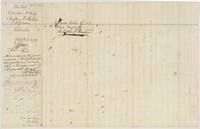 WrapperWrapper for the 117-acre field notes, checked on the county map 19 August 1878 and marked patented 11 September 1878.General Land Office, file 5611, page 7 · in the scan
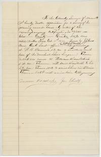 Other papersApplication by Jas. Smith to the Navarro County surveyor for a survey of vacant land by virtue of certificate 22/235, 15 October 1877.General Land Office, file 5611, page 8 · in the scan
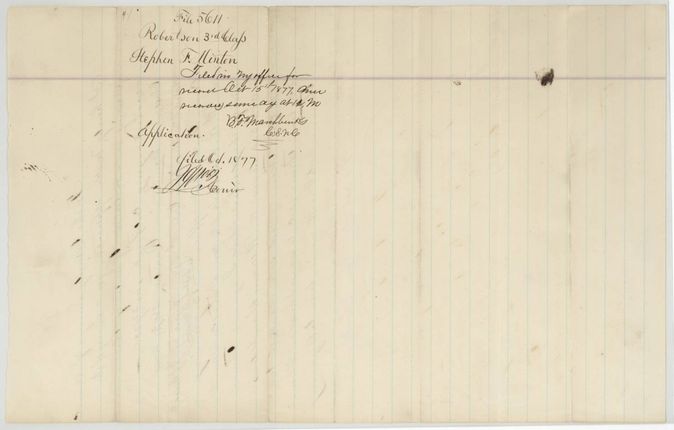
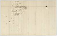 WrapperWrapper for the application with Marchbanks' note that it was filed 15 October 1877 and the survey made the same day.General Land Office, file 5611, page 9 · in the scan
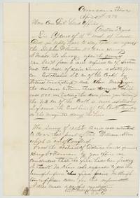 LetterMarchbanks' letter of April 1878 to the Commissioner: he ran the 117-acre survey from a corner of Section No. 2; Mr. Kerr(?) paid Bright for 'defective lands' information.General Land Office, file 5611, page 10 · in the scan
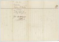 WrapperWrapper for the surveyor's certificate of correctness on the ground for the 117 acres, filed 29 April 1878.General Land Office, file 5611, page 11 · in the scan
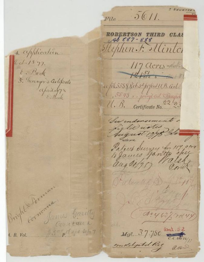
Scans courtesy of the Texas General Land Office, Austin, from its Land Grant Database.
Neighbouring surveys
Sources
- Texas General Land Office, Land Grant Database: Navarro County, Abstract 888
- The Land Office file, scanned (PDF, at the General Land Office)
- 1924 map: courtesy of the Texas General Land Office, Austin, Map 73249, used under licence. Topo: U.S. Geological Survey, The National Map. Aerial photographs: U.S. Department of Agriculture, National Agriculture Imagery Program, 2012, 2018 and 2022. Survey outlines: Railroad Commission of Texas, Original Texas Land Survey. Grant records and files: Texas General Land Office.