Blackland TX · ← All the original surveys
Thomas J. White Survey, Abstract 847
- Granted to
- Thomas J. White
- Kind of grant
- Headright, third classLand for later settlers, including the colonists of Mercer’s Colony.
- Land Office file
- Robertson 3rd class, file 1181
- Certificate
- No. 324
- Acres
- 320
- Patented to
- C. B. Chambers
- Patent
- 13 Sep 1854 · No. 516, Vol. 10
Tap a survey to open its page.
What the file shows
Thomas J. White held Mercer's Colony certificate No. 324 for 640 acres, issued at Corsicana on 22 April 1850. C. B. Chambers surveyed 320 acres on Chambers' Creek in January 1852 and bought the certificate from White for $80 a few weeks later; a second 320 acres was surveyed on Briar Creek by Wm. L. Browning in September 1853. The Briar Creek tract overlapped an older 1846 Carrington survey. The papers were filed in December 1853 and patents went to Chambers as assignee in June and September 1854 (28 June and 13 September).
The certificate
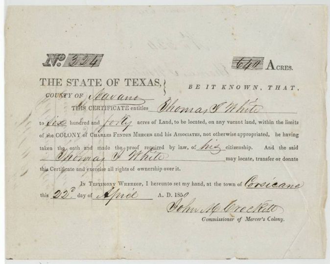
colony certificate, Mercer's Colony (3rd class), No. 324, 640 (two surveys of 320 acres each located in this file), John M. Crockett, Commissioner of Mercer's Colony, Corsicana, Navarro County, 22 Apr 1850.
Entitles Thomas J. White to 640 acres within the limits of the colony of Charles Fenton Mercer and his Associates, he having taken the oath and made the proof of citizenship required by law
Changes of hand
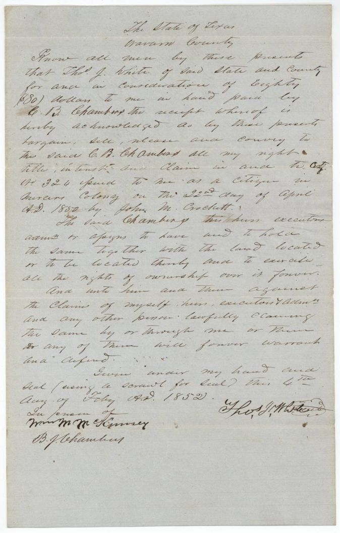
- 4 Feb 1852Thos. J. White, of Navarro County → C. B. Chambers, $80, Navarro County, Texas. Sells all right, title and claim in Certificate No. 324 and the land located or to be located; filed GLO 10 Dec 1853
The survey
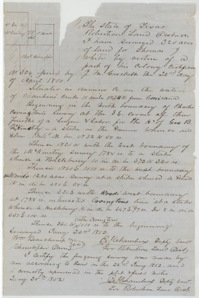
1852-01-22 (certified 1852-01-25), C. B. Chambers, Deputy Surveyor for Robertson Land District (abstract 940).
Navarro County on the waters of Chambers' Creek, 10 miles N 25 W from Corsicana
Chain carriers: Wm. Beauchamp, Christopher Davis.
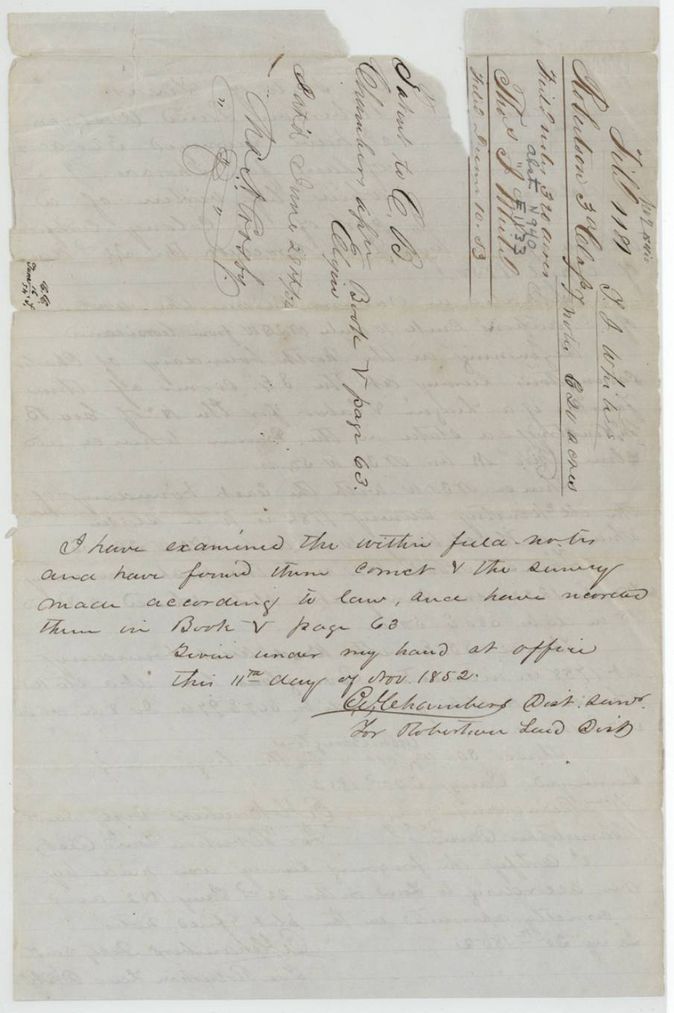
Book V, page 63
The survey
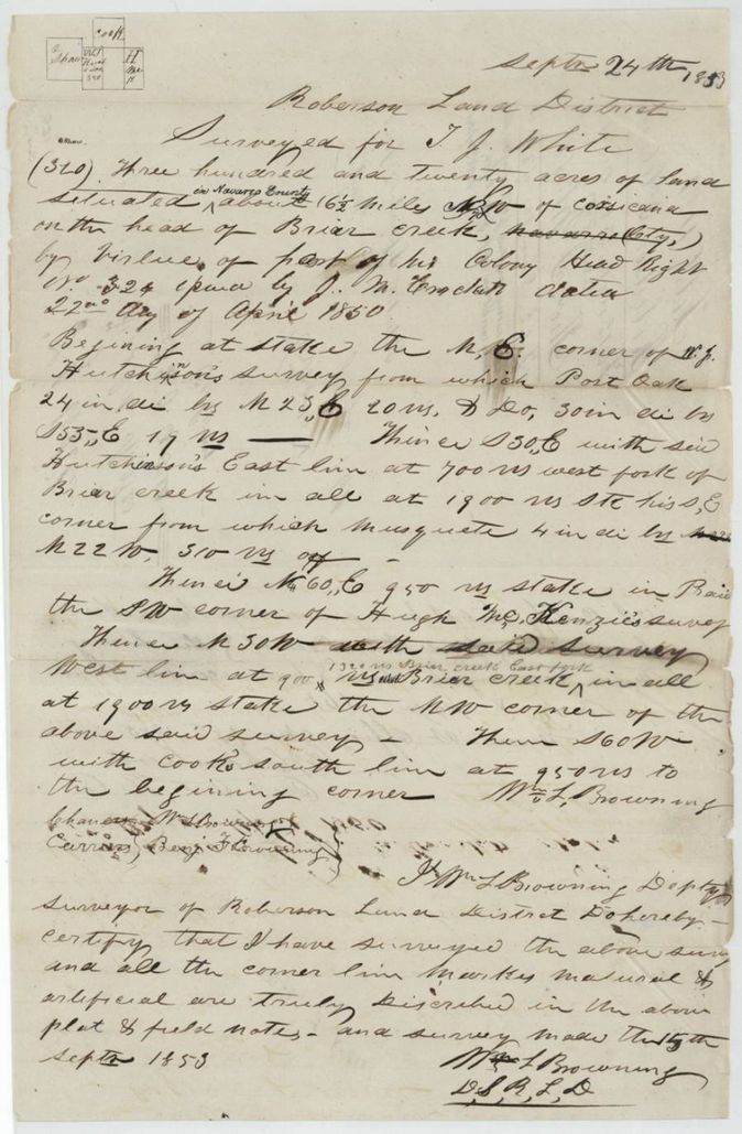
1853-09-24 (certified 1853-09-30), Wm. L. Browning, Deputy Surveyor, Robertson Land District (abstract 847).
Navarro County, about 6 1/2 miles NW(?) of Corsicana (a letter before W struck through) on the head of Briar Creek
Chain carriers: Benj. F. Browning, Chas(?) M. L. Browning.
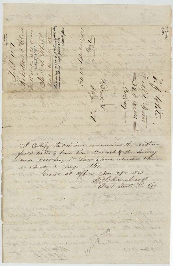
Book V, page 161
The patent
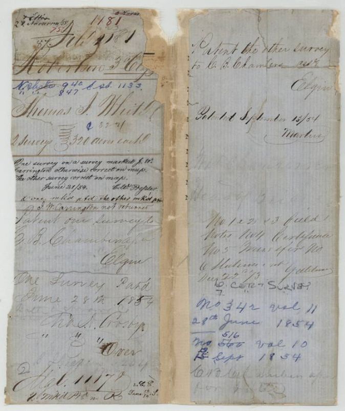
Abst. 940: 1854-06-28; Abst. 847: 1854-09-13 (field-notes wrapper p5 'Patented September 13/54'; jacket blue ink 13 written over 15; jacket black ink reads 'September 15/54'), Abst. 940: No. 342, Vol. 11; Abst. 847: No. 516 (written over 500(?)), Vol. 10, to C. B. Chambers, assignee, delivered to C. B. Chambers (jacket notes).
Also in the file
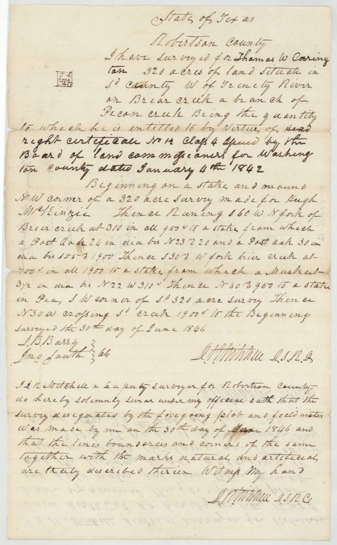
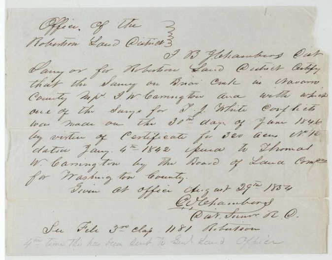
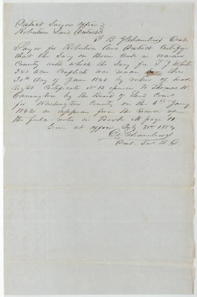
- The Browning survey (abstract 847) conflicts with the earlier Thomas W. Carrington survey of 30 June 1846 (head right certificate No. 12, Class 4, Washington County Board, 4 Jan 1842); two surveyor certificates were written about it and the jacket notes 'Carrington not returned'.
- C. B. Chambers examined and recorded the field notes as District Surveyor, and also made the first survey himself and then bought the certificate from White; the patents issued to him as assignee.
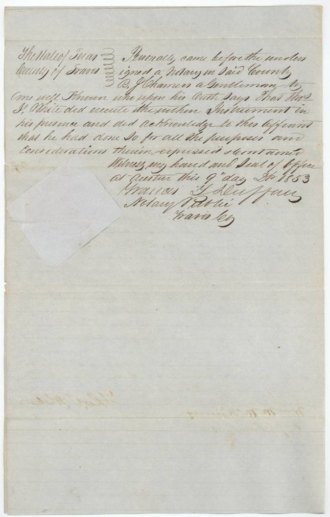
- The transfer is dated 4 Feb 1852 but was acknowledged at Austin in Dec 1853(?), nearly two years later, just before it was filed.
- The jacket carries a note that the conflict papers had been sent to the General Land Office a fourth time.
- Patent number for abstract 847 is overwritten on the jacket (516 over 500). The day is written 15 on the jacket in black ink, but the field-notes wrapper says September 13/54 and the blue-ink 13 is written over 15; the index also says 13 Sep 1854.
- The Carrington field notes (1846) place the Briar Creek land in Robertson County, west of the Trinity on a branch of Pecan Creek; by 1853 the same ground was in Navarro County, where Browning surveyed White's tract.
Timeline
- 4 Jan 1842Washington County Board issues head right certificate No. 12 to Thomas W. Carrington
- 30 Jun 1846J. R. Mitchell(?) surveys 320 acres on Briar Creek for Thomas W. Carrington
- 22 Apr 1850Mercer's Colony certificate No. 324 for 640 acres issued to Thomas J. White at Corsicana
- 22 Jan 1852C. B. Chambers surveys 320 acres on Chambers' Creek for White
- 4 Feb 1852White sells certificate No. 324 to C. B. Chambers for $80
- 11 Nov 1852Chambers survey examined and recorded, Book V p. 63
- 24 Sep 1853Wm. L. Browning surveys 320 acres at the head of Briar Creek for White
- 29 Nov 1853Browning survey examined and recorded, Book V p. 161
- 10 Dec 1853Certificate, transfer and field notes filed in the General Land Office
- 28 Jun 1854Patent No. 342, Vol. 11 (abstract 940) to C. B. Chambers
- 31 Jul 1854District Surveyor certifies the Carrington conflict
- 29 Aug 1854Second certificate on the Carrington conflict
- 13 Sep 1854Patent No. 516, Vol. 10 (abstract 847) to C. B. Chambers
The papers in the file
Every page of the Land Office file, in the order the Land Office keeps them (16 pages). Tap a page to see it larger.
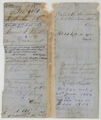 File jacketFile jacket 1181 for Thomas J. White's two 320-acre surveys, with patent notes to C. B. Chambers, 28 June and 13 September 1854.General Land Office, file 1181, page 1 · in the scan
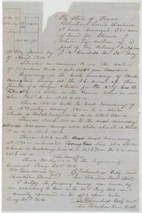 Field notesField notes and plat of 320 acres on Chambers' Creek for Thomas J. White, surveyed by C. B. Chambers, January 1852.General Land Office, file 1181, page 2 · in the scan
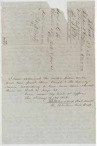 Surveyor's certificateBack of the Chambers field notes with the District Surveyor's examination, recorded Book V page 63, and the filing endorsement.General Land Office, file 1181, page 3 · in the scan
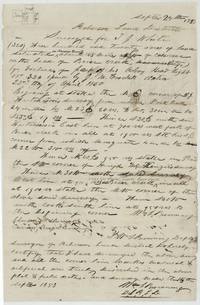 Field notesField notes and plat of 320 acres on the head of Briar Creek for T. J. White, surveyed by Wm. L. Browning, September 1853.General Land Office, file 1181, page 4 · in the scan
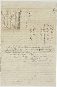 Surveyor's certificateWrapper and examination of the Browning survey, recorded Book V page 161, patented 13 September 1854, noting the Carrington conflict.General Land Office, file 1181, page 5 · in the scan
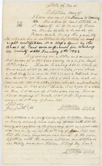 Field notesCopy of Thomas W. Carrington's 320-acre Briar Creek field notes, surveyed 30 June 1846 under head right certificate No. 12.General Land Office, file 1181, page 6 · in the scan
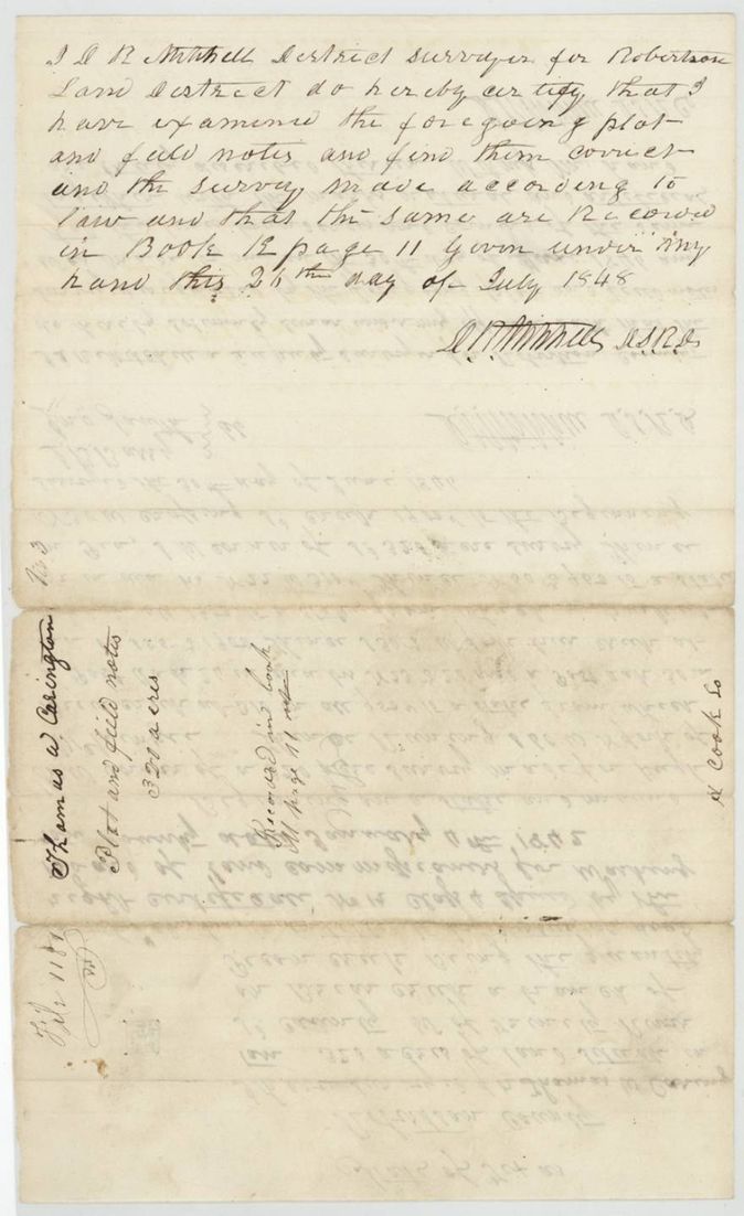
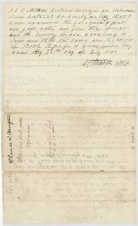 Surveyor's certificateDistrict Surveyor's certificate that the Carrington notes are correct and recorded, with the Carrington endorsement.General Land Office, file 1181, page 7 · in the scan
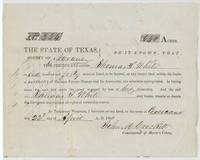 CertificateMercer's Colony certificate No. 324 for 640 acres to Thomas J. White, signed by John M. Crockett at Corsicana.General Land Office, file 1181, page 8 · in the scan
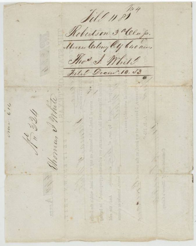
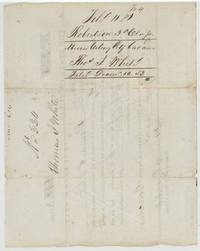 Back of the certificateBack of certificate 324 with the Land Office filing note, Thomas J. White, filed 10 December 1853.General Land Office, file 1181, page 9 · in the scan
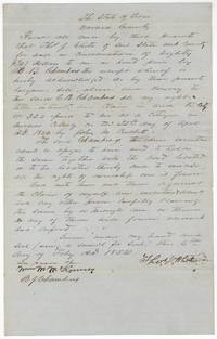 TransferThomas J. White sells his Certificate No. 324 to C. B. Chambers for $80, 4 February 1852.General Land Office, file 1181, page 10 · in the scan
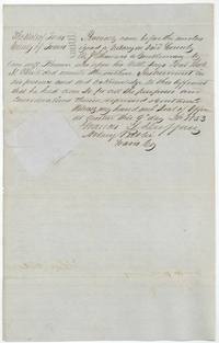 AffidavitTravis County notary's acknowledgement at Austin that White signed the transfer to Chambers, sworn by B. J. Chambers.General Land Office, file 1181, page 11 · in the scan
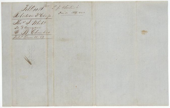
 WrapperFolded wrapper for the White to Chambers transfer, filed 10 December 1853.General Land Office, file 1181, page 12 · in the scan
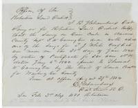 Surveyor's certificateC. B. Chambers certifies the Carrington survey of 30 June 1846 on Briar Creek conflicts with White's survey.General Land Office, file 1181, page 13 · in the scan
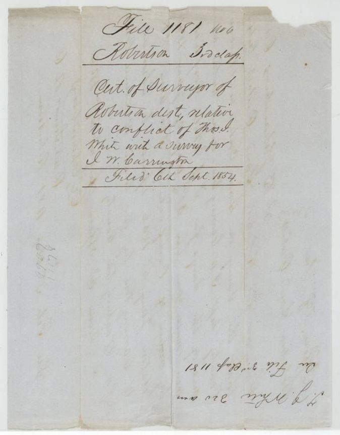
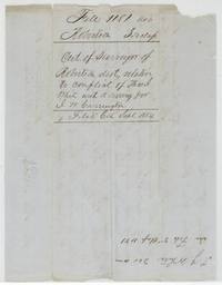 WrapperWrapper for the surveyor's certificate on the Carrington conflict, filed 6 September 1854.General Land Office, file 1181, page 14 · in the scan
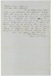 Surveyor's certificateEarlier certificate of 31 July 1854 by C. B. Chambers on the Carrington survey made under head right certificate No. 12.General Land Office, file 1181, page 15 · in the scan
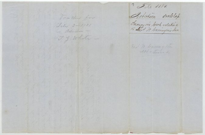
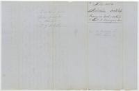 WrapperVoucher wrapper for file 3-1181 and a surveyor's certificate label for Thomas W. Carrington's survey, noted not returned.General Land Office, file 1181, page 16 · in the scan
Scans courtesy of the Texas General Land Office, Austin, from its Land Grant Database.
Neighbouring surveys
Sources
- Texas General Land Office, Land Grant Database: Navarro County, Abstract 847
- The Land Office file, scanned (PDF, at the General Land Office)
- 1924 map: courtesy of the Texas General Land Office, Austin, Map 73249, used under licence. Topo: U.S. Geological Survey, The National Map. Aerial photographs: U.S. Department of Agriculture, National Agriculture Imagery Program, 2012, 2018 and 2022. Survey outlines: Railroad Commission of Texas, Original Texas Land Survey. Grant records and files: Texas General Land Office.