Blackland TX · ← All the original surveys
Josephus Williams Survey, Abstract 862
- Granted to
- Josephus Williams
- Kind of grant
- Headright, third classLand for later settlers, including the colonists of Mercer’s Colony.
- Land Office file
- Robertson 3rd class, file 3812
- Certificate
- No. 4
- Acres
- 320
- Patented to
- William M. Love
- Patent
- 05 Feb 1862 · No. 68, Vol. 36
Tap a survey to open its page.
What the file shows
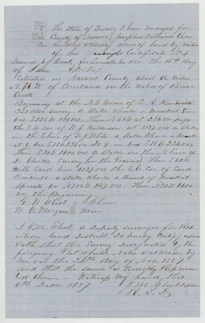
Josephus Williams's Limestone County augmentation certificate No. 4 for 320 acres (15 January 1847) went to James A. Johnson, then William L. Browning, who sold it in Navarro County in December 1856 to William M. Love for $125. J. M. Eliot surveyed it in November 1857 on the waters of Briar Creek about 6 1/2 miles from Corsicana, and the patent went to Love on 5 February 1862.
The certificate
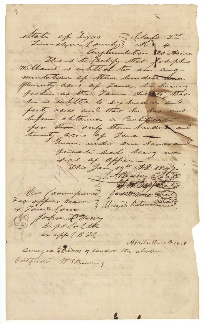
headright 3rd class, augmentation certificate, No. 4, 320 acres, Board of Land Commissioners, Limestone County: S. A. Blain(?), F. M. Copps(?), James W. Moore, Micajah Bateman; attested by John R. Henry, Deputy(?) Clerk and ex officio clerk of the Board, Limestone County, 15 Jan 1847.
Augmentation: Josephus Williams proved that under the law he was entitled to 640 acres and had before obtained a certificate for only 320, so was given an augmentation of 320 acres
Changes of hand
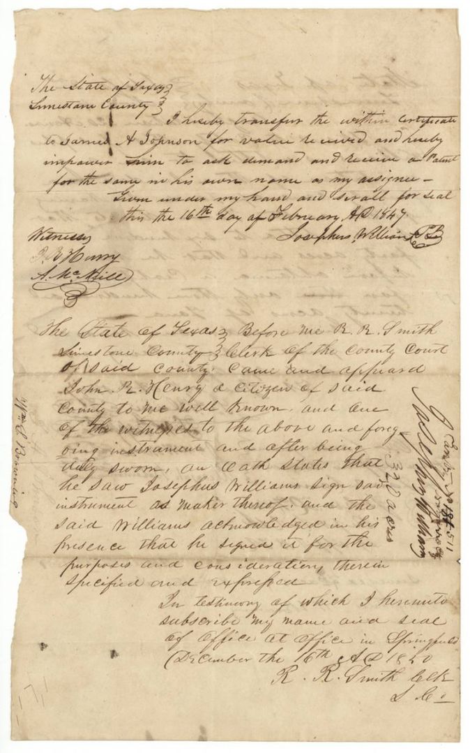
- 16 Feb 1847Josephus Williams → James A. Johnson, 'value received' (no sum named), Limestone County, Texas. Transfers the within certificate and empowers Johnson to ask, demand and receive a patent in his own name as assignee. Margin note 'Cert 4 Lim. 320 acres Josephus Williams'.
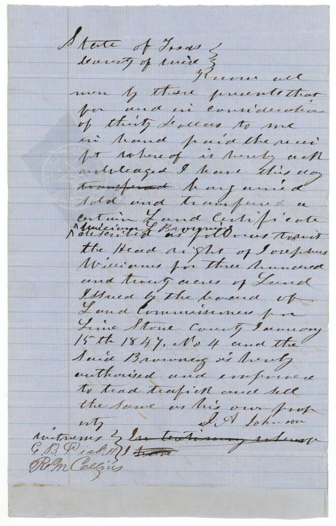
- undatedJames A. Johnson → William L. Browning, $30, Wise County, Texas. Bargains and sells the headright of Josephus Williams for 320 acres issued by the Limestone County Board of Land Commissioners 15 Jan 1847, No. 4, and authorises Browning to sell it as his own property. The deed itself is undated; wrapper filed Dec 21 1861.
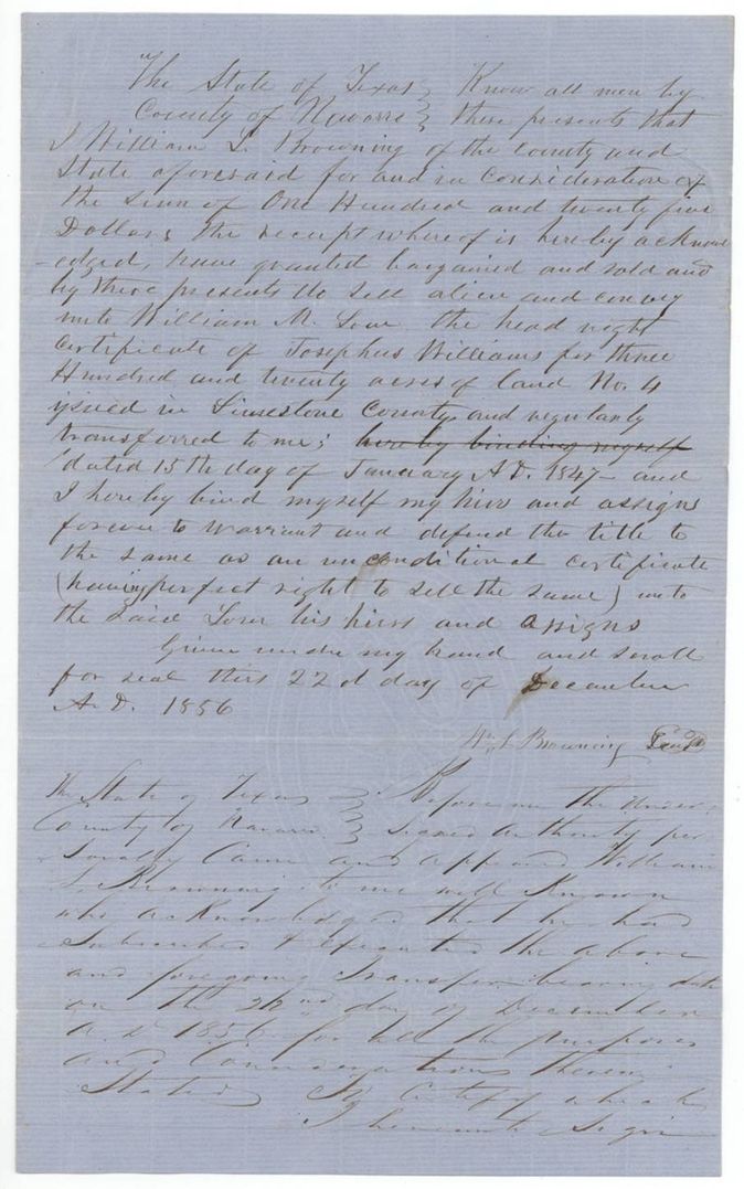
- 22 Dec 1856William L. Browning, of Navarro County → William M. Love, $125, Navarro County, Texas. Sells the headright certificate No. 4 of Josephus Williams for 320 acres 'regularly transferred to me' and warrants it as an unconditional certificate. Filed in the General Land Office 4 June 1860.
The survey
1857-11-24 (certified 1857-12-06), J. M. Eliot, Deputy Surveyor, Robertson Land District.
Navarro County, about 6 1/2 miles N 76(?) W of Corsicana, on the waters of Briar Creek
Chain carriers: G. W. Eliot, W. C. Morgan.
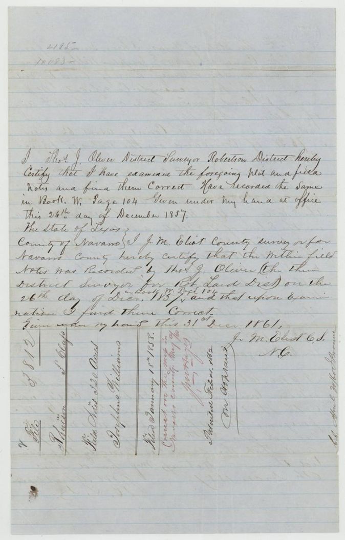
Book W, page 104
The patent
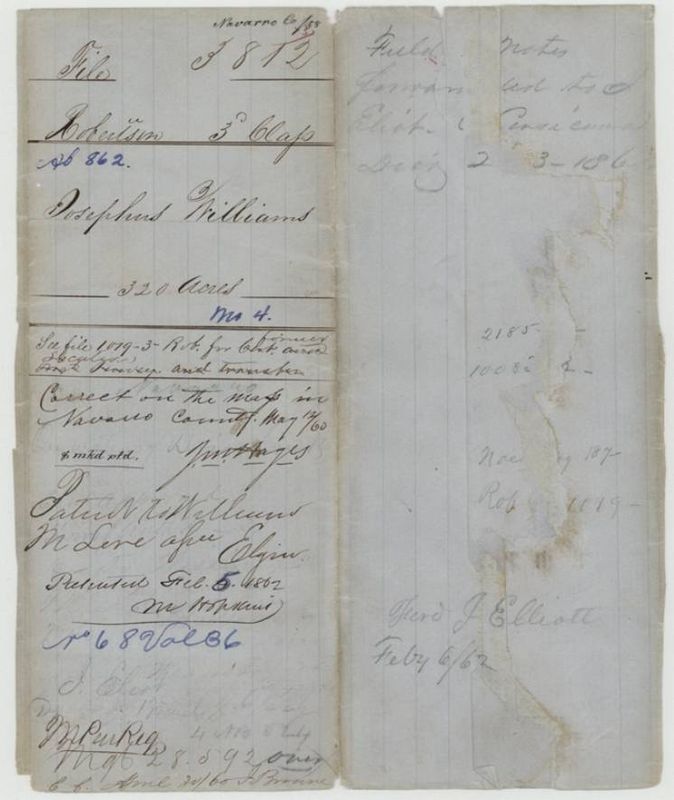
5 Feb 1862, No. 68, Vol. 36, to William M. Love (assignee of Josephus Williams), delivered to not stated; field notes forwarded to Eliot at Corsicana, Dec 23(?) 1861.
Also in the file
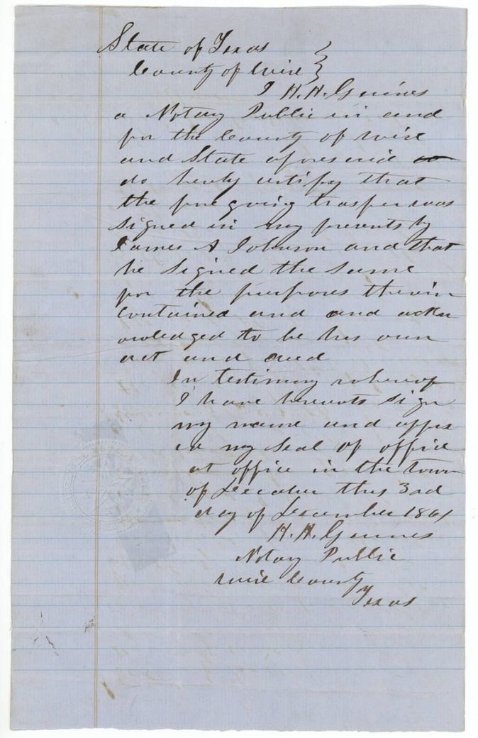
- Browning's sale to Love is dated 22 Dec 1856 but the Johnson-to-Browning deed (the link that gave Browning title) is acknowledged in Wise County on 3 Dec 1861, five years later, and filed 21 Dec 1861; the chain is documented out of order, probably to cure a gap before patenting.
- The certificate carries a 1851 endorsement 'surveyed ... acres, Wm. L. Browning', but the survey on file was made by J. M. Eliot in November 1857.
- The field notes give 15 June 1847 for the certificate; the certificate itself says 15 January 1847.
- The witness-clerk's certification on the Johnson transfer reads 1850 (?), nearly four years after the 1847 deed.
- Wrapper originally numbered 1019, struck out for 3812; jacket points to another file, 1019-3 Robertson, for the earlier certificate and transfer.
- Index says certificate 4, patent 5 Feb 1862, No. 68 Vol. 36: matches.
Timeline
- 15 Jan 1847Limestone County commissioners issue augmentation certificate No. 4 for 320 acres to Josephus Williams
- 16 Feb 1847Williams transfers it to James A. Johnson
- 16 Dec 1850Clerk R. R. Smith certifies witness John R. Henry's oath to the transfer (reading uncertain)
- 22 Dec 1856William L. Browning sells the certificate to William M. Love for $125
- 24 Nov 1857J. M. Eliot surveys 320 acres on Briar Creek
- 26 Dec 1857Thos. J. Oliver examines and records survey, Book W p. 104
- 1 Jan 1858Field notes filed in the General Land Office
- 17 May 1860Marked correct on the map of Navarro County
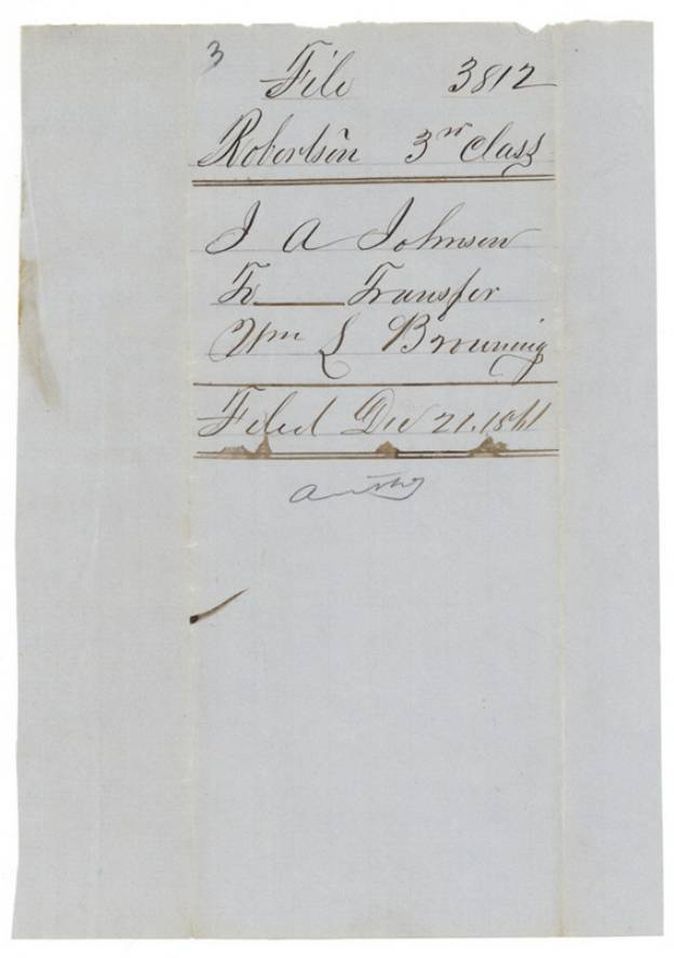
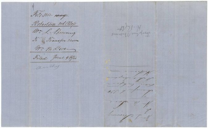
- 4 Jun 1860Browning to Love transfer filed in the General Land Office
- 3 Dec 1861Wise County notary H. H. Gaines certifies Johnson's signing of the transfer to Browning, at Decatur
- 31 Dec 1861Eliot, as county surveyor, re-certifies the field notes
- 5 Feb 1862Patent No. 68 Vol. 36 to William M. Love
The papers in the file
Every page of the Land Office file, in the order the Land Office keeps them (12 pages). Tap a page to see it larger.
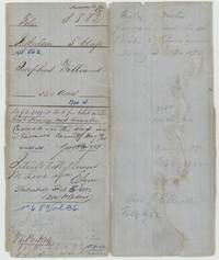 File jacketFile jacket for Josephus Williams's 320 acres, Robertson 3rd class, patented to W. M. Love 5 February 1862, No. 68 Vol. 36.General Land Office, file 3812, page 1 · in the scan
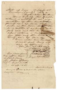 CertificateLimestone County augmentation certificate No. 4 for 320 acres to Josephus Williams, 15 January 1847, signed by four commissioners.General Land Office, file 3812, page 2 · in the scan
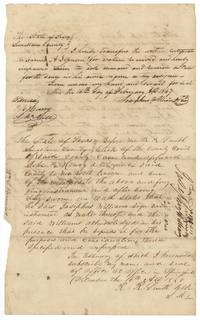 TransferWilliams transfers the certificate to James A. Johnson, 16 February 1847, with the clerk's proof at Springfield.General Land Office, file 3812, page 3 · in the scan
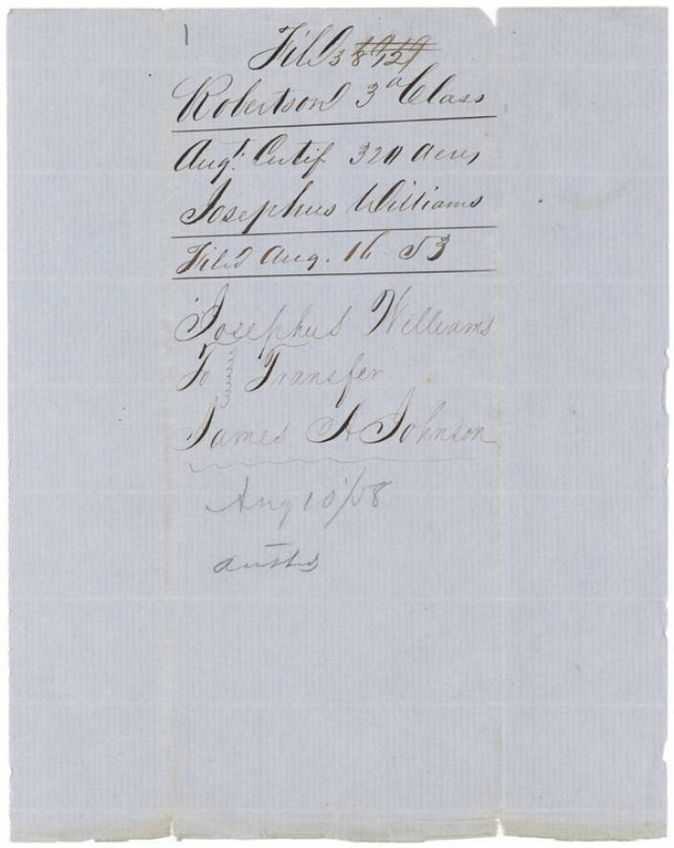
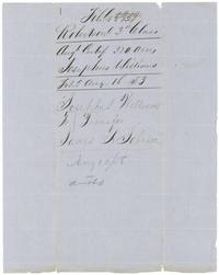 WrapperWrapper for the augmentation certificate, filed 16 August 1853, noting the transfer to James A. Johnson.General Land Office, file 3812, page 4 · in the scan
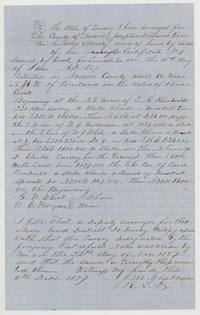 Field notesJ. M. Eliot's field notes and plat for 320 acres on Briar Creek, surveyed 24 November 1857, beside S. A. Kimbrell's survey.General Land Office, file 3812, page 5 · in the scan
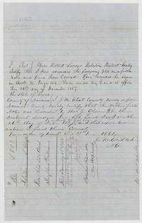 Surveyor's certificateThos. J. Oliver examines the field notes, recorded Book W p. 104, with Eliot's re-certification of 31 December 1861 and the patent note.General Land Office, file 3812, page 6 · in the scan
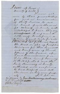 TransferJames A. Johnson sells Josephus Williams's headright for $30 to William L. Browning, Wise County, with two witnesses.General Land Office, file 3812, page 7 · in the scan
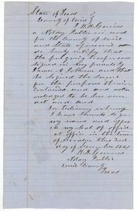 AffidavitWise County notary certifies that James A. Johnson signed the transfer to Browning in his presence, at Decatur.General Land Office, file 3812, page 8 · in the scan
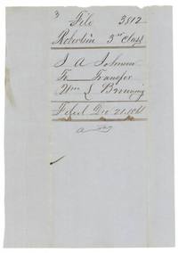 WrapperWrapper for the Johnson to Browning transfer, filed 21 December 1861.General Land Office, file 3812, page 9 · in the scan
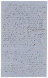 TransferWilliam L. Browning sells the Williams certificate No. 4 to William M. Love of Navarro County for $125, 22 December 1856.General Land Office, file 3812, page 10 · in the scan
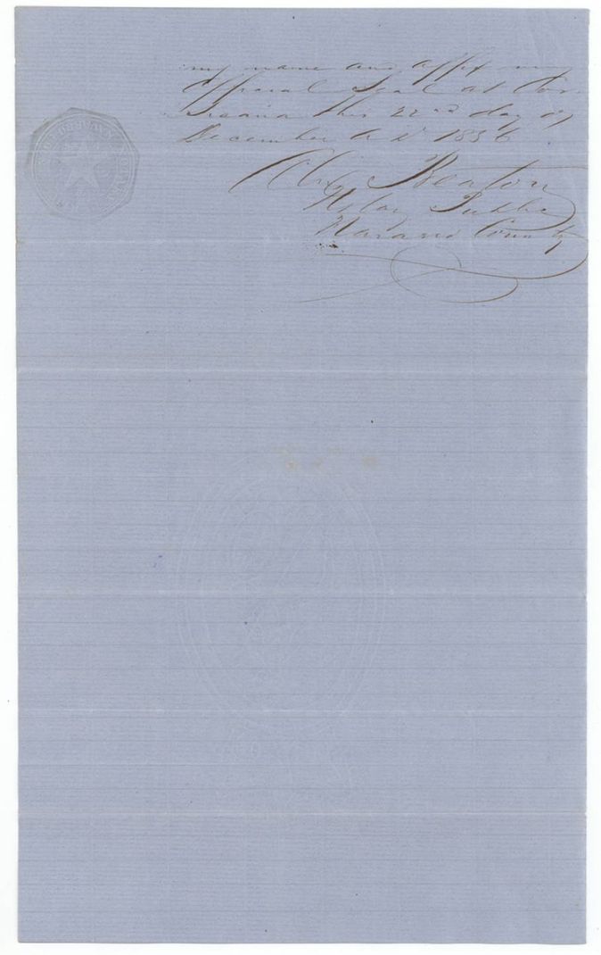
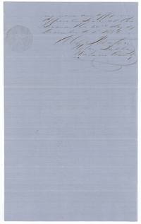 AffidavitNavarro County notary certifies Browning's acknowledgment of the sale to Love at Corsicana, 22 December 1856.General Land Office, file 3812, page 11 · in the scan
 WrapperWrapper for the Browning to Love transfer of 320 acres, filed 4 June 1860.General Land Office, file 3812, page 12 · in the scan
Scans courtesy of the Texas General Land Office, Austin, from its Land Grant Database.
Neighbouring surveys
Sources
- Texas General Land Office, Land Grant Database: Navarro County, Abstract 862
- The Land Office file, scanned (PDF, at the General Land Office)
- 1924 map: courtesy of the Texas General Land Office, Austin, Map 73249, used under licence. Topo: U.S. Geological Survey, The National Map. Aerial photographs: U.S. Department of Agriculture, National Agriculture Imagery Program, 2012, 2018 and 2022. Survey outlines: Railroad Commission of Texas, Original Texas Land Survey. Grant records and files: Texas General Land Office.