Blackland TX · ← All the original surveys
S. A. Kimble Survey, Abstract 471
- Granted to
- S. A. Kimble
- Kind of grant
- Bounty warrantLand paid for service in the army of the Republic.
- Land Office file
- Robertson Bounty, file 841
- Certificate
- No. 1841
- Acres
- 320
- Patented to
- S. A. Kimble
- Patent
- 20 Dec 1861 · No. 151, Vol. 11
Tap a survey to open its page.
What the file shows
S. A. Kimble served three months in the Texas army in 1836 and received a 320-acre bounty certificate in December 1854. Deputy surveyor J. M. Eliot located the land on Briar Creek about seven miles north-west of Corsicana in November 1857, and it was patented to Kimble on 20 December 1861.
The certificate
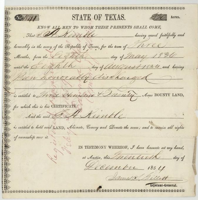
bounty, No. 1841, 320 acres, James S. Gillett, Adjutant General of the State of Texas, Austin, 20 Dec 1854.
Served faithfully and honorably in the army of the Republic of Texas for three months, 8 May 1836 to 8 August 1836, and was honourably discharged
The survey
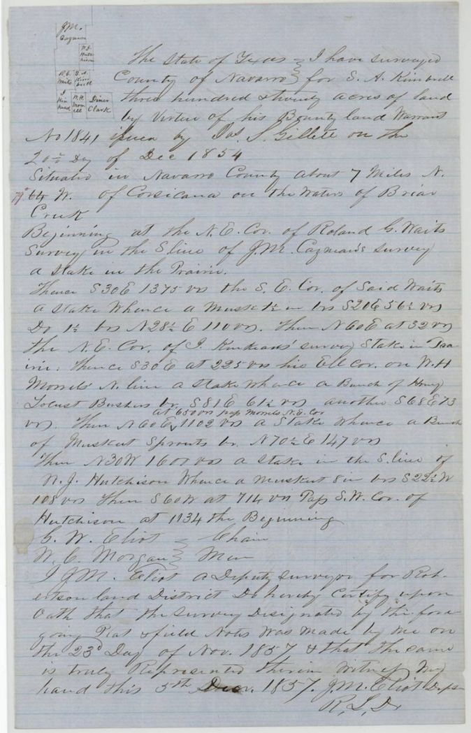
1857-11-23 (certified 1857-12-05), J. M. Eliot, Deputy Surveyor, Robertson Land District.
Navarro County, about 7 miles N 64 W of Corsicana on the waters of Briar Creek
Chain carriers: G. W. Eliot, N. C. Morgan.
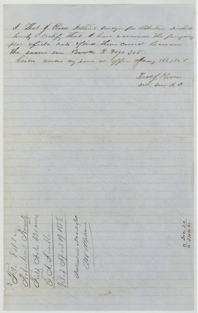
Book R p. 305
The patent
20 Dec 1861, No. 151, Vol. 11, to S. A. Kimble, delivered to not stated.
Also in the file
- The grantee is S. A. Kimble on the certificate and patent but 'Kimbrell' on the field notes and sketch.
- The certificate was issued in 1854 by the State for service in 1836 (three months, 8 May to 8 August 1836).
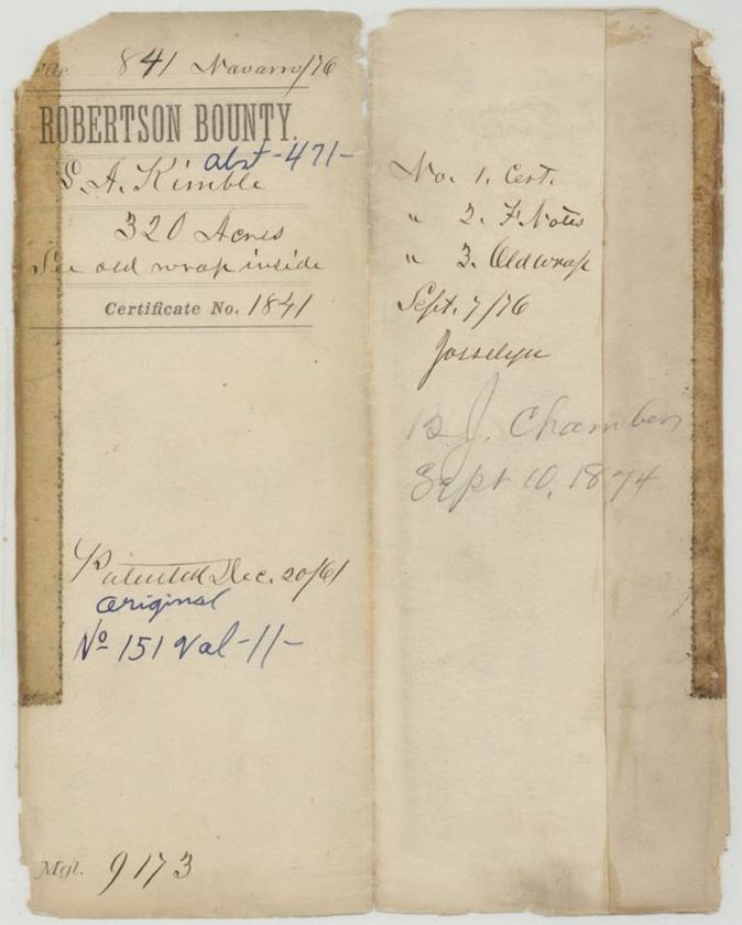
- The later jacket carries a pencil note 'B. J. Chambers Sept 10, 1874' (purpose not stated) and was made up 7 Sept 1876.
Timeline
- 8 May 1836Service begins
- 8 Aug 1836Honourably discharged
- 20 Dec 1854Bounty certificate 1841 issued at Austin
- 23 Nov 1857J. M. Eliot surveys 320 acres on Briar Creek
- 18 Jan 1858Survey examined, Book R p. 305
- 19 Apr 1858Papers filed at the General Land Office
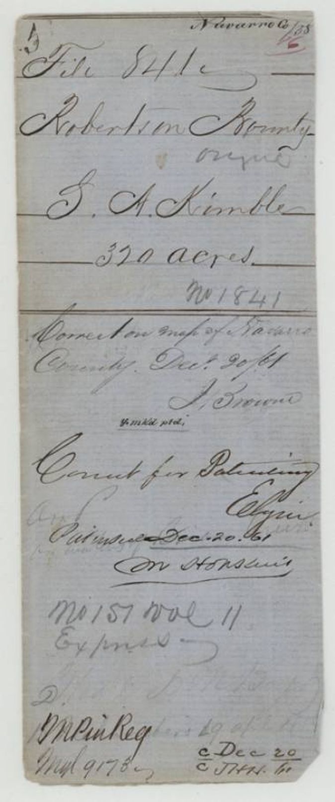
- 20 Dec 1861Checked on Navarro County map; patent No. 151 Vol. 11 issued
The papers in the file
Every page of the Land Office file, in the order the Land Office keeps them (6 pages). Tap a page to see it larger.
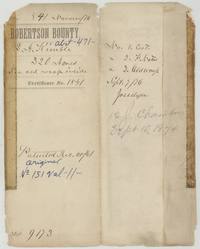 File jacketFile jacket, file 841 Robertson Bounty, abst. 471, S. A. Kimble, 320 acres, certificate 1841, patented 20 December 1861, No. 151 Vol. 11, with pencil note 'B. J. Chambers Sept 10, 1874'.General Land Office, file 841, page 1 · in the scan
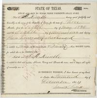 CertificateState of Texas bounty certificate No. 1841 for 320 acres to S. A. Kimble for three months' army service, 8 May to 8 August 1836, issued at Austin 20 December 1854 by Adjutant General James S. Gillett.General Land Office, file 841, page 2 · in the scan
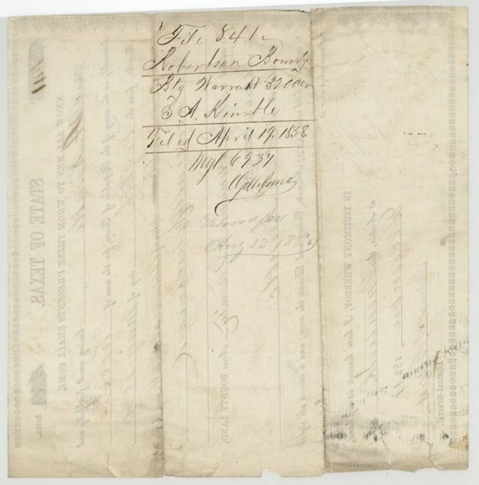
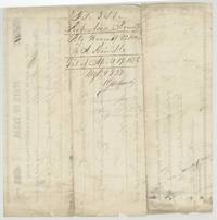 Back of the certificateBack of the certificate: wrapper 'Bty Warrant 320 acres S. A. Kimble', filed 19 April 1858, with a note of no transfer.General Land Office, file 841, page 3 · in the scan
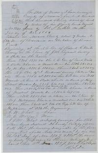 Field notesField notes for 320 acres for S. A. Kimble (Kimbrell(?)) on Briar Creek, 7 miles N 64 W of Corsicana, surveyed 23 November 1857 by J. M. Eliot, certified 5 December 1857.General Land Office, file 841, page 4 · in the scan
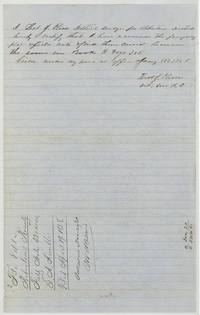 Surveyor's certificateThos. J. Oliver, District Surveyor, examines the notes and records them in Book R p. 305 on 18 January 1858; endorsement filed 19 April 1858, patented Dec. 20/61.General Land Office, file 841, page 5 · in the scan
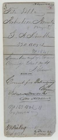 WrapperWrapper: S. A. Kimble 320 acres, correct on map of Navarro County 20 December 1861, correct for patenting, patented 20 December 1861, No. 151 Vol. 11.General Land Office, file 841, page 6 · in the scan
Scans courtesy of the Texas General Land Office, Austin, from its Land Grant Database.
Neighbouring surveys
Sources
- Texas General Land Office, Land Grant Database: Navarro County, Abstract 471
- The Land Office file, scanned (PDF, at the General Land Office)
- 1924 map: courtesy of the Texas General Land Office, Austin, Map 73249, used under licence. Topo: U.S. Geological Survey, The National Map. Aerial photographs: U.S. Department of Agriculture, National Agriculture Imagery Program, 2012, 2018 and 2022. Survey outlines: Railroad Commission of Texas, Original Texas Land Survey. Grant records and files: Texas General Land Office.