Blackland TX · ← All the original surveys
Jane M. Cazneau Survey, Abstract 154
- Granted to
- Jane M. Cazneau
- Kind of grant
- Headright, first classLand for settlers who were in Texas before independence, 2 March 1836.
- Land Office file
- Robertson 1st class, file 875
- Acres
- 2101.35
- Patented to
- Jane M. Cazneau
- Patent
- 31 Aug 1859 · No. 873, Vol. 11
Tap a survey to open its page.
What the file shows
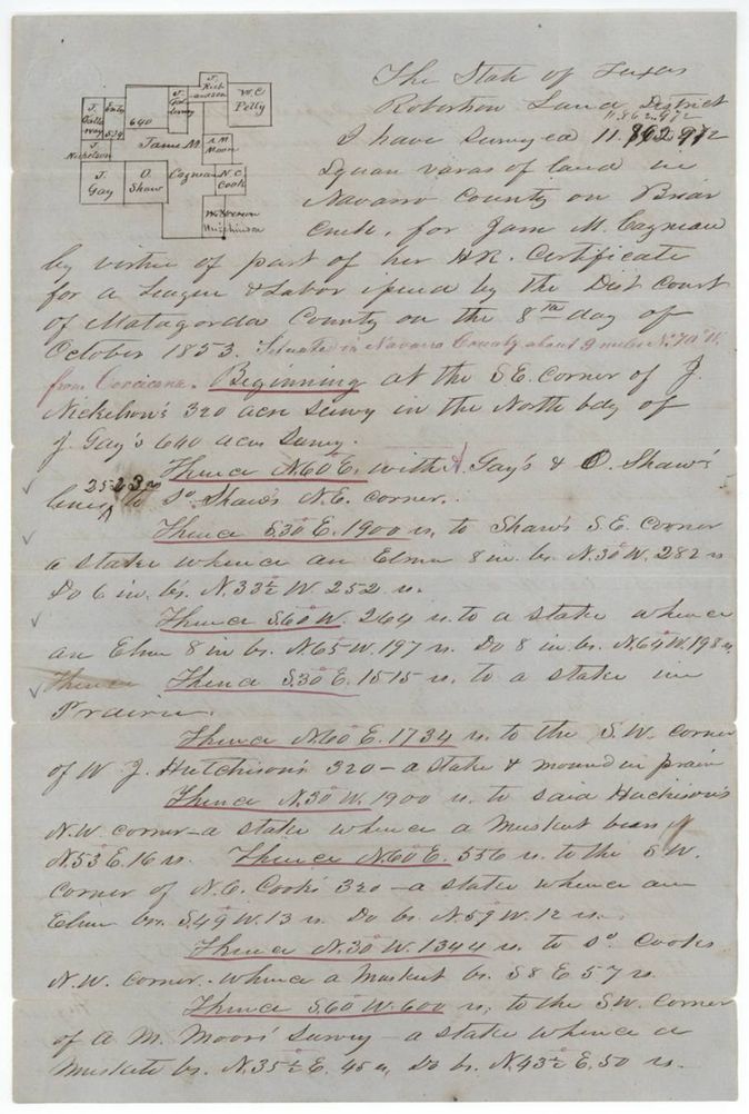
Jane M. Cazneau's headright certificate for a league and labor, granted by the Matagorda County district court on 8 October 1853, was partly located by deputy surveyor Milton Wright in May 1857 as 11,862,972 square varas (about 2,101 acres) on Briar Creek, about 9 miles northwest of Corsicana. A county surveyor's sketch followed in July 1859, and the patent issued to her on 31 August 1859.
The certificate
headright 1st class (league and labor), part of, No. not given in this file (jacket refers to other files 1102, 856, 1879(?) and 1980 for other surveys and the original certificate), 11,862,972 square varas (2,101.35 acres) located in this file, out of a league and labor, District Court of Matagorda County, Matagorda County, Texas, 8 Oct 1853.
Part of the headright certificate for a league and labor of land issued to Jane M. Cazneau by the district court of Matagorda County on 8 October 1853
The survey
1857-05-26 (certified 1857-08-03), Milton Wright, Deputy Surveyor for Robertson Land District.
Navarro County, on Briar Creek, about 9 miles N 70 W from Corsicana (red-ink addition)
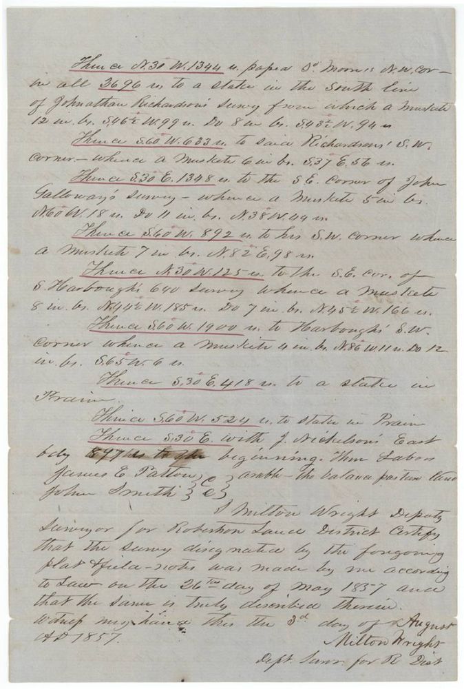
Chain carriers: James E. Patton, John Smith.
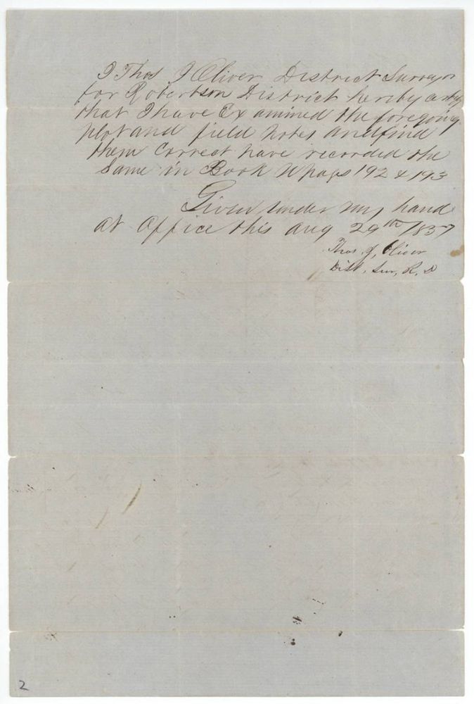
Book W, pages 192 and 193
The patent
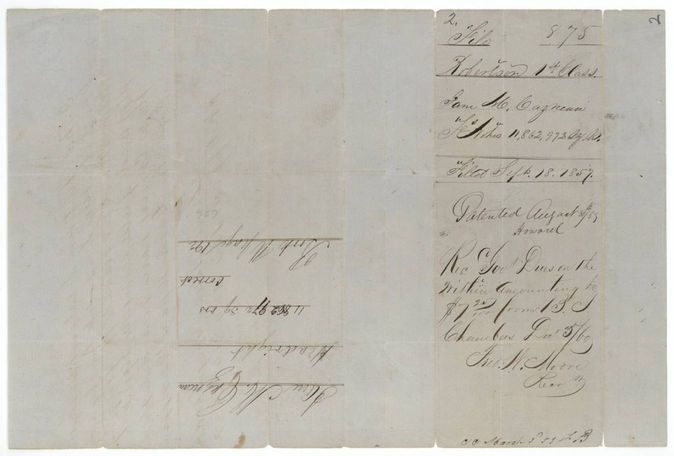
31 Aug 1859, No. 873, Vol. 11, to Jane M. Cazneau (index lists patentee Cazneau, Jane M), delivered to Receipt of Government dues $7.27 from B. J. Chambers, Dec 5/60, Fred. W. Moore, Receiver (p7); jacket: 'Ackd(?) Hon. Gregg for B. J. Chambers Dec 7/60' (p1).
Also in the file
- Patent date 31 Aug 1859 and No. 873 Vol. 11 agree with the index.
- The patent went to Jane M. Cazneau although B. J. Chambers paid the dues and received the patent in 1860, so he acted as her agent.
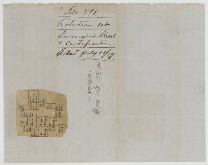
- The 1857 field notes were later supported by a county surveyor's sketch dated July 1859 and a map-check letter, apparently because the lines overlapped other surveys.
- Jacket cross-refers to four other surveys on the same certificate (files 1102, 856, 1879(?), 1980), so this is one of several Cazneau locations in Navarro County.
- Wrapper 'Filed Sept. 18, 1857'; field notes were certified 3 Aug 1857.
Timeline
- 8 Oct 1853District Court of Matagorda County issues headright certificate for a league and labor to Jane M. Cazneau
- 26 May 1857Milton Wright surveys 11,862,972 varas on Briar Creek
- 3 Aug 1857Wright certifies the survey
- 29 Aug 1857Thos. J. Oliver examines and records it, Book W pp 192-193
- 18 Sep 1857Field notes filed in the General Land Office
- 4 Jul 1859J. M. Eliot certifies a sketch of the survey from the Navarro County map
- 12 Aug 1859Checked correct on map
- 31 Aug 1859Patent No. 873 Vol. 11 to Jane M. Cazneau
- 5 Dec 1860Government dues of $7.27 received from B. J. Chambers
The papers in the file
Every page of the Land Office file, in the order the Land Office keeps them (7 pages). Tap a page to see it larger.
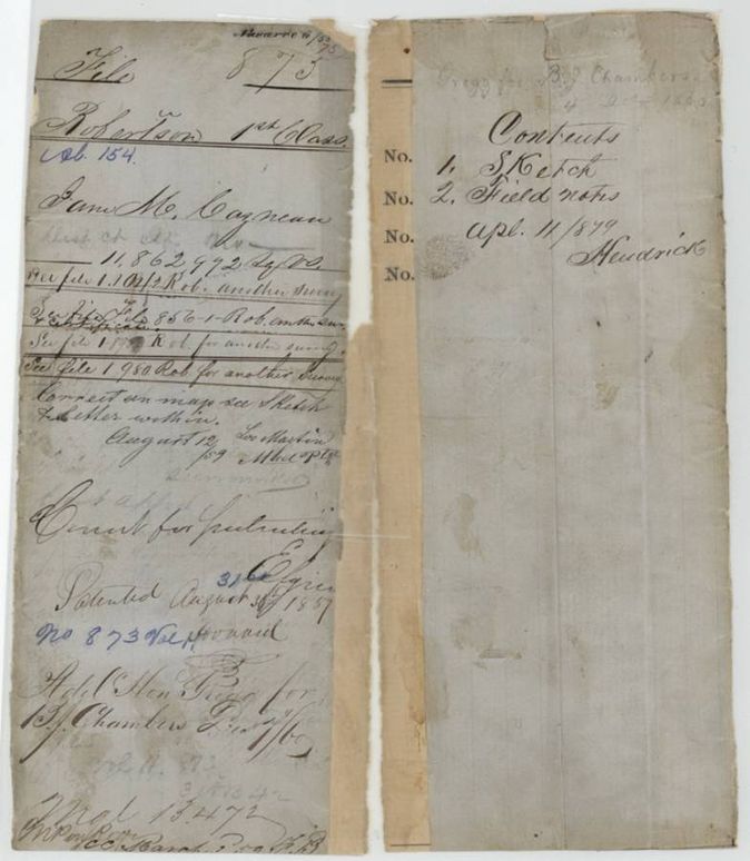
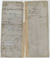 File jacketFile jacket for Jane M. Cazneau's 11,862,972 square varas, patented 31 Aug 1859, No. 873 Vol. 11, with cross-references to four other surveys.General Land Office, file 875, page 1 · in the scan
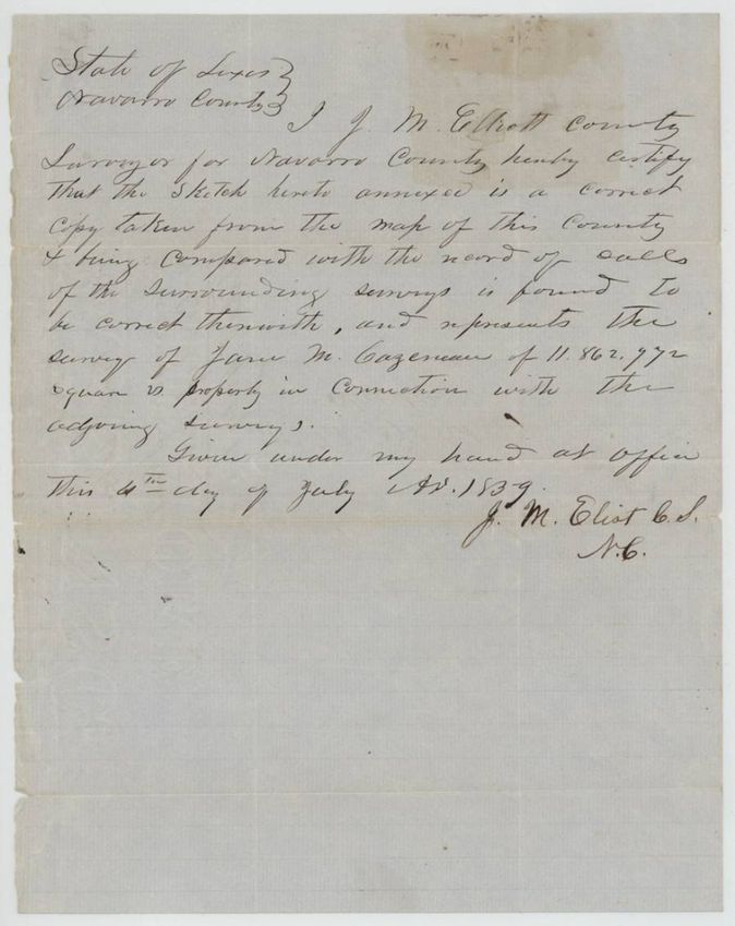
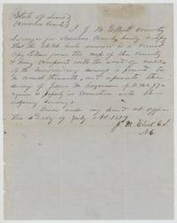 Surveyor's certificateJ. M. Eliot, County Surveyor, certifies the annexed sketch correctly shows Jane M. Cazneau's 11,862,972-vara survey and adjoining surveys.General Land Office, file 875, page 2 · in the scan
 PlatWrapper with a pasted sketch map of the Cazneau survey among neighbours Gay, Shaw, Hutchison and Cook, filed July 12/59.General Land Office, file 875, page 3 · in the scan
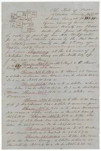 Field notesFirst page of Milton Wright's field notes of 11,862,972 varas for Jane M. Cazneau on Briar Creek, Navarro County, with plat.General Land Office, file 875, page 4 · in the scan
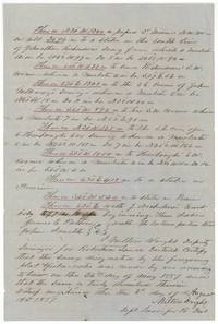 Field notesSecond page of the field notes ending the survey, chain carriers James E. Patton and John Smith, certified by Milton Wright 3 Aug 1857.General Land Office, file 875, page 5 · in the scan
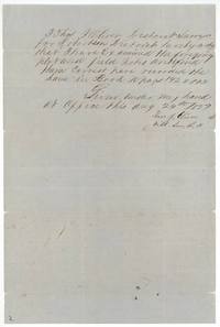 Surveyor's certificateThos. J. Oliver, District Surveyor, certifies the notes correct and recorded in Book W pages 192-193, 29 Aug 1857.General Land Office, file 875, page 6 · in the scan
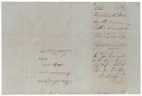 WrapperWrapper: Jane M. Cazneau 11,862,972 varas, filed Sept 18 1857, patented August 31 1859, with receipt of government dues $7.27.General Land Office, file 875, page 7 · in the scan
Scans courtesy of the Texas General Land Office, Austin, from its Land Grant Database.
Neighbouring surveys
Sources
- Texas General Land Office, Land Grant Database: Navarro County, Abstract 154
- The Land Office file, scanned (PDF, at the General Land Office)
- 1924 map: courtesy of the Texas General Land Office, Austin, Map 73249, used under licence. Topo: U.S. Geological Survey, The National Map. Aerial photographs: U.S. Department of Agriculture, National Agriculture Imagery Program, 2012, 2018 and 2022. Survey outlines: Railroad Commission of Texas, Original Texas Land Survey. Grant records and files: Texas General Land Office.