Blackland TX · ← All the original surveys
Appleton Gay Survey, Abstract 309
- Granted to
- Appleton Gay
- Kind of grant
- Headright, third classLand for later settlers, including the colonists of Mercer’s Colony.
- Land Office file
- Robertson 3rd class, file 421
- Certificate
- No. 476
- Acres
- 640
- Patented to
- Appleton Gay
- Patent
- 11 Apr 1851 · No. 614, Vol. 6
Tap a survey to open its page.
What the file shows
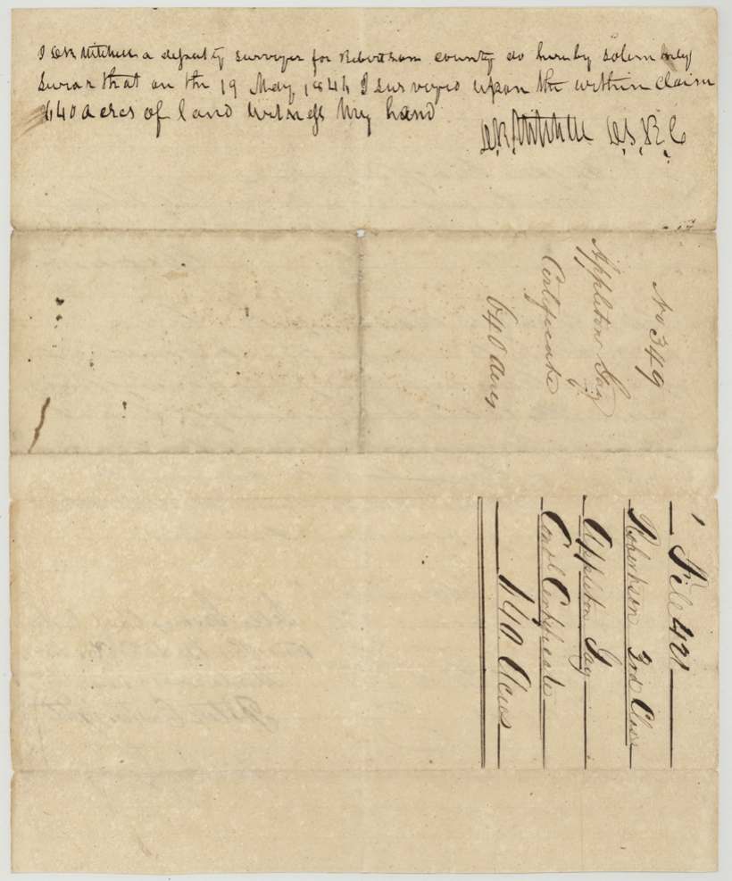
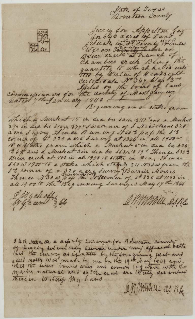
Appleton Gay, a married man who came to Texas in 1839, received a conditional 640-acre headright from the Montgomery County land board in January 1840. Deputy surveyor D. R. Mitchell surveyed it on 19 May 1844 on Briar Creek, a branch of Chambers Creek, about 8 miles west of Corsicana, next to a Burrell Morris survey. Gay handed this and Morris's soldier certificate to a locator in 1845 and assigned control to A. G. Perry(?) in 1848, but the patent issued in Gay's name on 11 April 1851, after the certificate was made unconditional in 1849, and was delivered to Mitchell.
The certificate
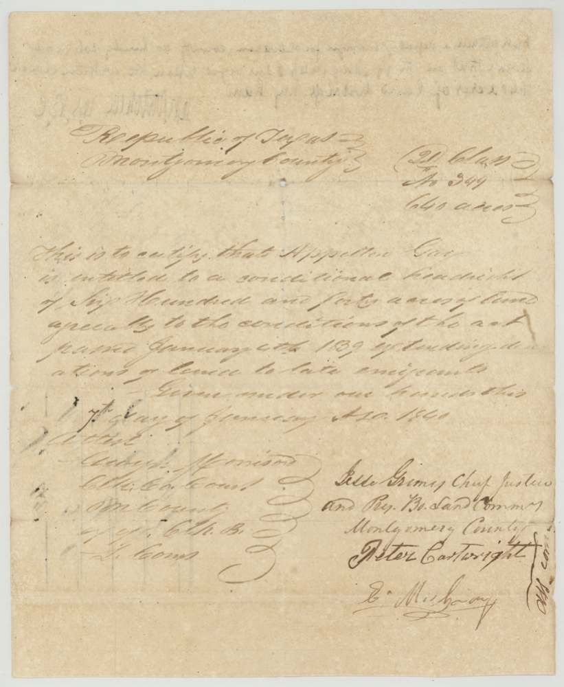
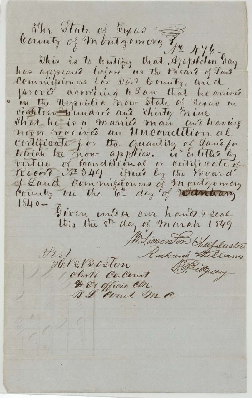
headright 3rd class, No. Conditional No. 349; Unconditional No. 476, 640 acres, Board of Land Commissioners of Montgomery County (conditional: Jesse Grimes, Chief Justice and President of the Board, with Peter Cartwright and E. Mc[Gaffey?](?); attest Andrew(?) Morrison, Clerk County Court and ex officio Clerk of the Board. Unconditional: W. Simonton, Chief Justice, Richard Williams, J. F. Ridgway(?); attest H. B. Boston, Clerk), Montgomery County, Conditional 1840-01-07 (later papers say 6 January 1840); Unconditional 1849-03-08.
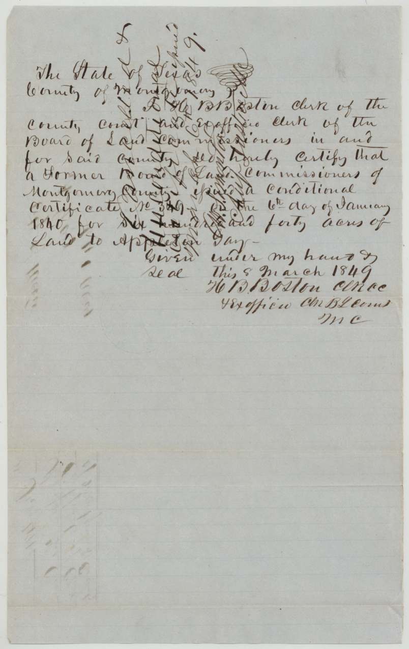
Conditional headright of 640 acres under the act of 4 January 1839 extending donations of land to late emigrants. The unconditional certificate says he proved he arrived in the Republic in 1839, is a married man, and had never received an unconditional certificate for the land.
Changes of hand
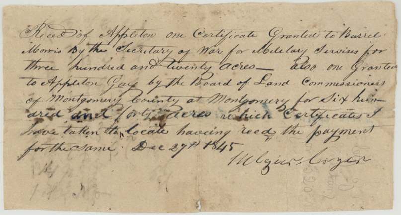
- 27 Dec 1845Appleton Gay → Algier(?) Coyzer(?) (locator), not stated ('having recd the payment for the same'), not stated. Receipt, not a deed: the signer acknowledges receiving from Gay this 640-acre certificate and a 320-acre military certificate granted to Burrel Morris by the Secretary of War, 'which certificates I have taken to locate'.
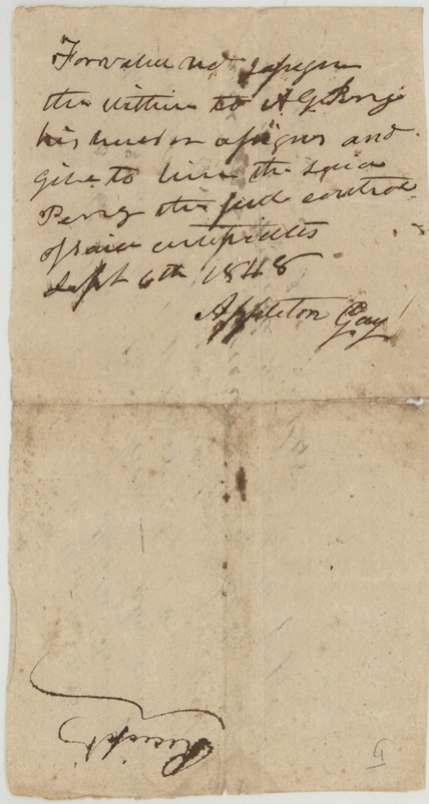
- 6 Sep 1848Appleton Gay → A. G. Perry(?), 'for value received', not stated. Endorsed on the back of the locator's receipt: assigns 'the within' to A. G. Perry(?) and gives him full control of the said certificates. The patent nevertheless issued in Gay's own name.
The survey
19 May 1844, D. R. Mitchell, Deputy Surveyor, Robertson County (later District Surveyor, Robertson Land District).
first written 'in R. Co. 14 miles W from Trinity River'; corrected to 'in Navarro County, about 8 miles W from Corsicana', on Briar Creek, a southern(?) branch of Chambers Creek
Chain carriers: J. Wyckoff, W. G. Grant(?).
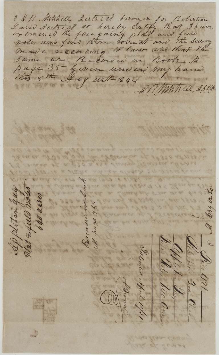
Book M, page 35
The patent
1851-04-11 (wrapper '10th' corrected to '11th'); field-note docket reads April 10/51, No. 614, Vol. 6, to Appleton Gay, delivered to D. R. Mitchell, April 12, 1851.
Also in the file
- The survey is dated May 1844, but the locator's receipt for taking the certificate 'to locate' is dated December 1845 — a year and a half after the survey.
- The conditional certificate is dated 7 January 1840, while the 1849 papers twice say 6 January 1840.
- The certificate is labelled second class on its face and in the field notes, but the file is third class, which matches Gay's arrival in 1839.
- Gay assigned control of his certificates to A. G. Perry(?) in 1848, yet the patent still issued to Gay and was handed to the surveyor, D. R. Mitchell.
- The same locator also took a soldier's certificate granted to Burrel Morris; a Burrell Morris 320-acre survey lies right beside Gay's tract.
- The location was first described as 14 miles west of the Trinity in Robertson County and rewritten after Navarro County was formed as about 8 miles west of Corsicana.
Timeline
- 1839Appleton Gay arrives in the Republic of Texas (per 1849 certificate)
- 7 Jan 1840Montgomery County board issues conditional headright No. 349, 640 acres
- 19 May 1844D. R. Mitchell surveys 640 acres on Briar Creek, branch of Chambers Creek
- 27 Dec 1845Locator receipts for Gay's certificate and Burrel Morris's 320-acre certificate
- 8 Aug 1848Field notes examined and recorded, Book M p. 35
- 6 Sep 1848Gay assigns control of the certificates to A. G. Perry(?)
- 8 Mar 1849Unconditional certificate No. 476 issued in Montgomery County
- 10 Apr 1851Checked correct on map (Creuzbaur)
- 11 Apr 1851Patent No. 614 Vol. 6 issued to Appleton Gay
- 12 Apr 1851Patent delivered to D. R. Mitchell
The papers in the file
Every page of the Land Office file, in the order the Land Office keeps them (11 pages). Tap a page to see it larger.
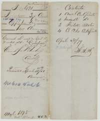 WrapperFile wrapper for Appleton Gay's 640 acres, listing two certificates, field notes and a clerk's certificate, and marked patented on 11 April 1851.General Land Office, file 421, page 1 · in the scan
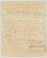 CertificateConditional headright certificate No. 349 for 640 acres to Appleton Gay, issued by the Board of Land Commissioners of Montgomery County, 7 January 1840.General Land Office, file 421, page 2 · in the scan
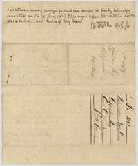 Back of the certificateBack of the conditional certificate, with deputy surveyor D. R. Mitchell's oath that he surveyed the claim on 19 May 1844.General Land Office, file 421, page 3 · in the scan
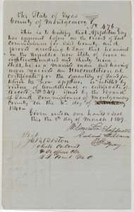 CertificateUnconditional certificate No. 476 for 640 acres to Appleton Gay, issued by the Board of Land Commissioners of Montgomery County, 8 March 1849.General Land Office, file 421, page 4 · in the scan
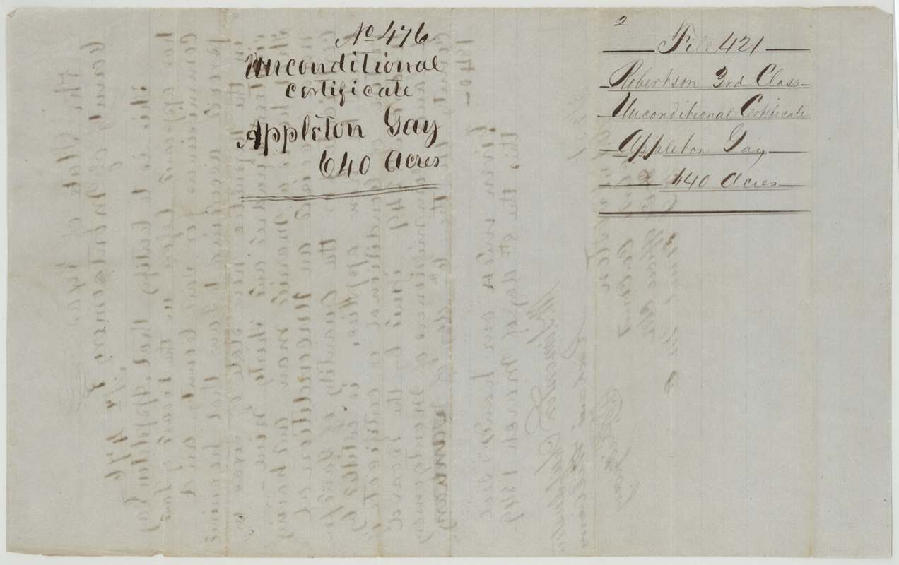
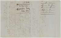 Back of the certificateBack of the unconditional certificate, endorsed Appleton Gay, 640 acres, with the Land Office filing marks.General Land Office, file 421, page 5 · in the scan
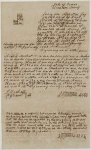 Field notesField notes for 640 acres on Briar Creek, a branch of Chambers Creek, surveyed for Appleton Gay by D. R. Mitchell, 19 May 1844.General Land Office, file 421, page 6 · in the scan
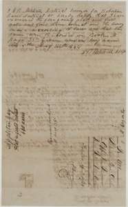 Surveyor's certificateBack of the field notes, with District Surveyor D. R. Mitchell's certificate of 8 August 1848 that they were examined and recorded in Book M, page 35.General Land Office, file 421, page 7 · in the scan
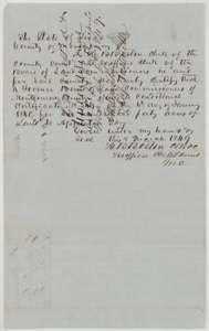 CertificateCertificate of H. B. Boston, clerk, 8 March 1849, that a former board issued conditional certificate No. 349 to Appleton Gay on 6 January 1840.General Land Office, file 421, page 8 · in the scan
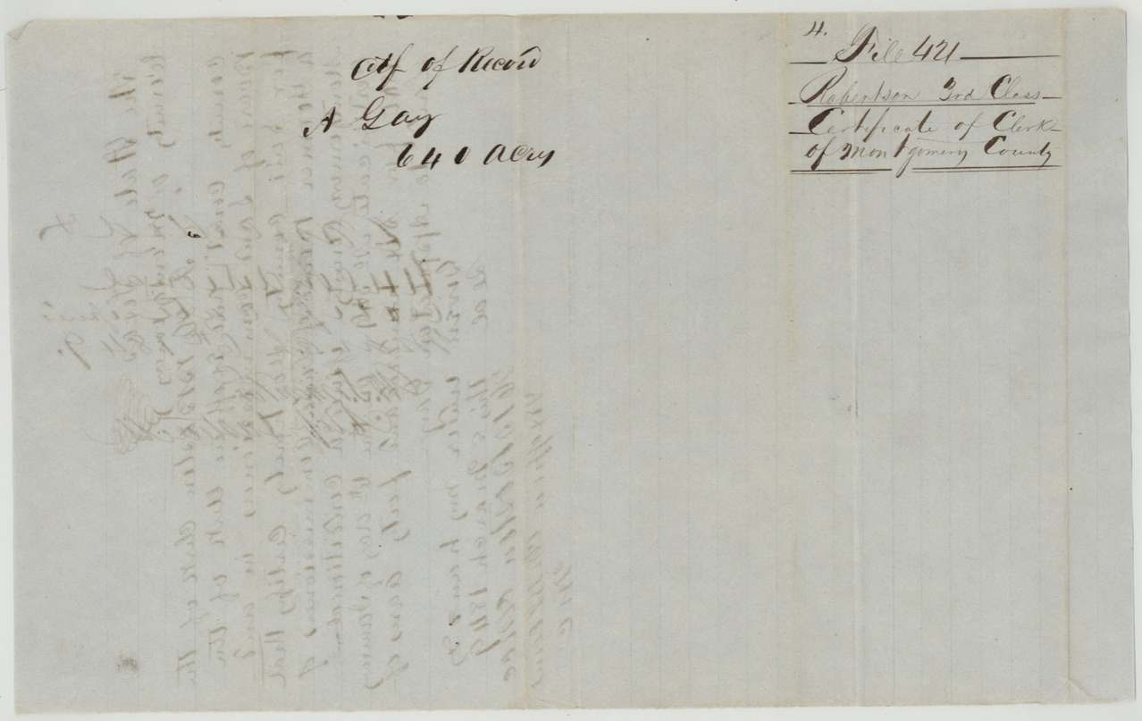
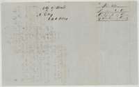 Back of the certificateBack of the clerk's certificate, with a filing note for Appleton Gay, 640 acres, certificate of the clerk of Montgomery County.General Land Office, file 421, page 9 · in the scan
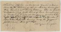 ReceiptReceipt of 27 December 1845 from a locator for Appleton Gay's 640-acre certificate and a 320-acre military certificate of Burrel Morris, taken to locate.General Land Office, file 421, page 10 · in the scan
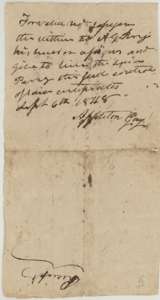 TransferBack of the receipt, with Appleton Gay's assignment of the certificates to A. G. Perry, 6 September 1848.General Land Office, file 421, page 11 · in the scan
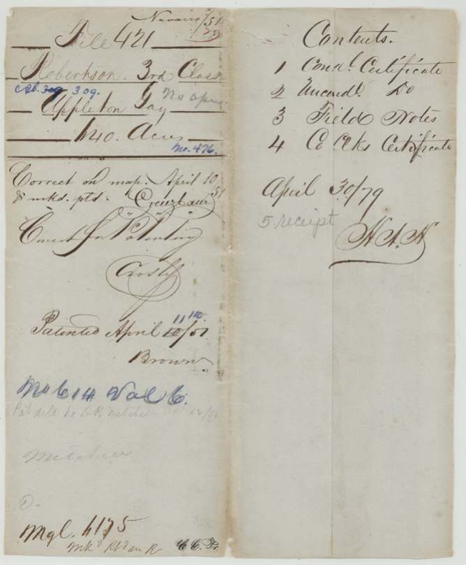
Scans courtesy of the Texas General Land Office, Austin, from its Land Grant Database.
Neighbouring surveys
Sources
- Texas General Land Office, Land Grant Database: Navarro County, Abstract 309
- The Land Office file, scanned (PDF, at the General Land Office)
- 1924 map: courtesy of the Texas General Land Office, Austin, Map 73249, used under licence. Topo: U.S. Geological Survey, The National Map. Aerial photographs: U.S. Department of Agriculture, National Agriculture Imagery Program, 2012, 2018 and 2022. Survey outlines: Railroad Commission of Texas, Original Texas Land Survey. Grant records and files: Texas General Land Office.