Blackland TX · ← All the original surveys
John McGown Survey, Abstract 528
- Granted to
- John McGown
- Kind of grant
- Headright, first classLand for settlers who were in Texas before independence, 2 March 1836.
- Land Office file
- Robertson 1st class, file 865
- Certificate
- No. 1654/1755
- Acres
- 1124.44
- Patented to
- John McGown
- Patent
- 30 Apr 1857 · No. 859, Vol. 11
Tap a survey to open its page.
What the file shows
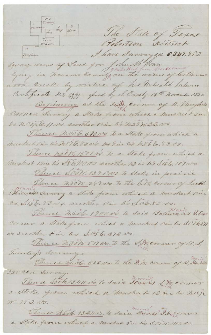
John McGown received a league-and-labor headright, No. 181, from the San Augustine County board in February 1838. In November 1850 the General Land Office issued him a certificate for the unlocated balance of 6,347,962 square varas. Locator James E. Patton applied in March 1857 to place it between Richland and Chambers Creeks, and deputy surveyor Milton Wright surveyed it in April 1857 on Cottonwood Creek waters, nine miles west of Corsicana, next to the Vaughn, Blum, Tumlin, Morris and Day surveys. It was patented to McGown in April 1859. Although Patton had asked for the patent to go to A. J. McGown, it was delivered in January 1860 to A. M. Branch, who paid the dues.
The certificate
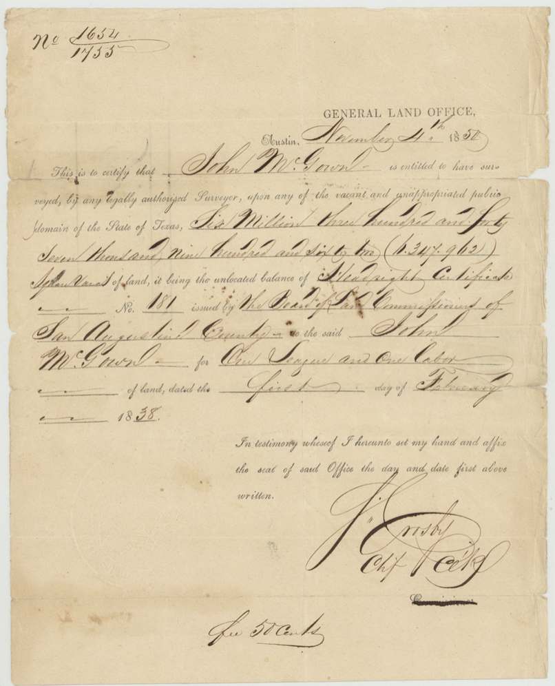
headright 1st class (unlocated balance certificate), No. 1654/1755 (balance certificate); original headright No. 181, 6,347,962 sq. varas (about 1,126 acres) — unlocated balance of one league and one labor, Balance certificate: General Land Office, Austin, signed J. Crosby, Chief Clerk (printed 'Commissioner' struck out). Original: Board of Land Commissioners of San Augustine County, Austin (balance); San Augustine County (original), Balance certificate 1850-11-04; original dated 1838-02-01.
Unlocated balance of headright certificate No. 181 for one league and one labor issued to John McGown; the file does not state his arrival date or marital status. Fee 50 cents.
Changes of hand
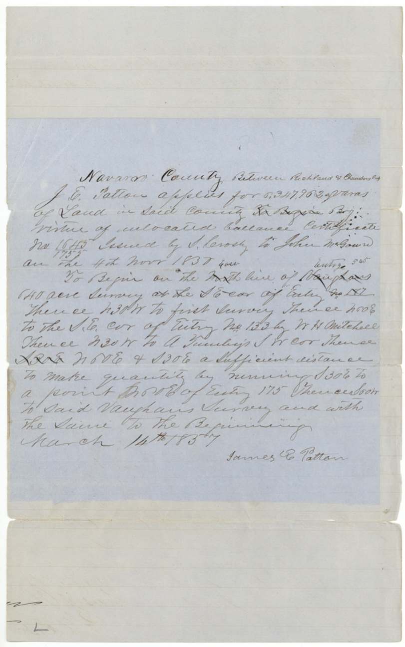
- 14 Mar 1857(certificate holder, not named) → James E. Patton (as locator/applicant), not stated, Navarro County. Patton's file application ('J. E. Patton applies for 6,347,962 sq. varas ... between Richland & Chambers Creeks ... by virtue of unlocated balance certificate No. 1654/1755 issued by J. Crosby to John McGown on the 4th Nov 1850'); entry No. 545(?). No deed of the certificate is in the file.
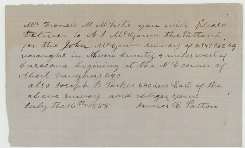
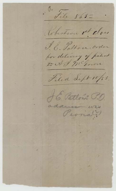
- 16 Jul 1858James E. Patton → A. J. McGown (patent delivery order), none, not stated. Letter to Francis M. White [GLO Commissioner]: 'please deliver to A. J. McGown the patent for the John McGown survey of 6,347,962 sq. varas in Navarro County 9 miles west of Corsicana beginning at the NE corner of Abert Vaughn's 640, also Joseph B. Parkes 640 acres east of the above survey.' Filed Sept 10/58. Pencil: 'J. E. Patton's P.O. address was Peoria(?)'.
The survey
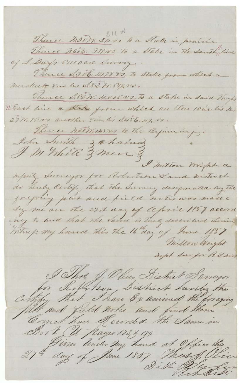
1857-04-27 (certified 1857-06-16), Milton Wright, Deputy Surveyor for Robertson Land District.
Navarro County, on the waters of Cottonwood Creek, 9 miles west from Corsicana (Patton's application: between Richland and Chambers Creeks)
Chain carriers: John Smith, J. M. White.
Book U(?), pages 173 & 174
The patent
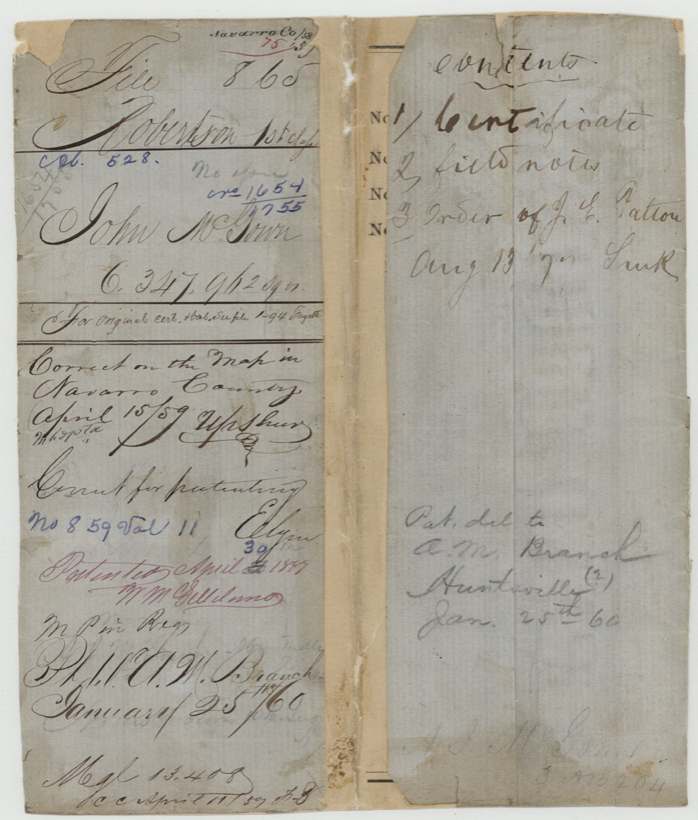
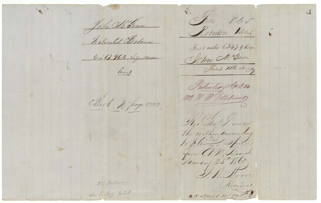
1859-04-26 (field-note docket; wrapper shows 26 altered to 30(?)), No. 859, Vol. 11, to John McGown, delivered to A. M. Branch, Huntsville(?), January 25, 1860.
Also in the file
- Patton asked in 1858 that the patent be handed to A. J. McGown, but the jacket records it was delivered in January 1860 to A. M. Branch, who also paid the dues — the order was not followed, or was superseded.
- The balance certificate is numbered 1654/1755, but the field notes and Patton's application write 1645/1755.
- The certificate is signed by the Chief Clerk, J. Crosby, with the word 'Commissioner' struck out; the field notes call him 'S. Crosby' and date it the 14th rather than the 4th of November 1850.
- A San Augustine County headright from 1838 was finally located near Corsicana almost twenty years later, by a locator (Patton) whose post office was apparently Peoria.
- The surveyor or office corrected neighbour names in red ink after the fact (Baliman to Blum, Davis to Morris).
Timeline
- 1 Feb 1838San Augustine County board issues headright No. 181 (league and labor) to John McGown
- 4 Nov 1850GLO issues unlocated balance certificate 1654/1755 for 6,347,962 sq. vrs
- 14 Mar 1857James E. Patton files application to locate the balance between Richland and Chambers Creeks
- 27 Apr 1857Milton Wright surveys the tract on Cottonwood Creek waters, 9 miles west of Corsicana
- 27 Jun 1857Thos. J. Oliver records field notes, Book U pp. 173-174
- 10 Aug 1857Certificate and field notes filed in GLO
- 16 Jul 1858Patton orders patent delivered to A. J. McGown
- 15 Apr 1859Map check: correct on Navarro map (Upshur)
- 26 Apr 1859Patent No. 859, Vol. 11 to John McGown
- 25 Jan 1860A. M. Branch pays $6.34 dues; patent delivered to him
The papers in the file
Every page of the Land Office file, in the order the Land Office keeps them (9 pages). Tap a page to see it larger.
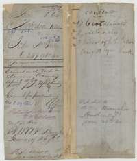 WrapperFile wrapper for John McGown's unlocated balance of 6,347,962 square varas, listing the certificate, field notes and an order, marked patented in 1859.General Land Office, file 865, page 1 · in the scan
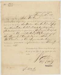 CertificateGeneral Land Office balance certificate No. 1654/1755, 4 November 1850, for John McGown's unlocated balance of one league and one labor, from headright No. 181 of 1 February 1838.General Land Office, file 865, page 2 · in the scan
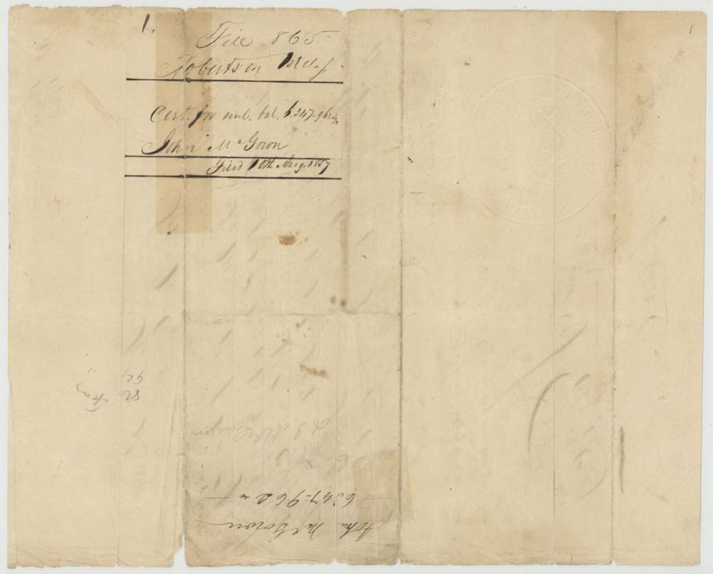
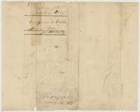 Back of the certificateBack of the balance certificate, endorsed John McGown, 6,347,962 square varas, filed 10 August 1857.General Land Office, file 865, page 3 · in the scan
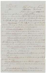 Field notesField notes for John McGown's 6,347,962 square varas on the waters of Cottonwood Creek, surveyed by deputy surveyor Milton Wright, 27 April 1857.General Land Office, file 865, page 4 · in the scan
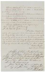 Field notesContinuation of the McGown field notes, with Milton Wright's certificate of 16 June 1857 and district surveyor Thos. J. Oliver's certificate of 21 June 1857, recorded in Book U.General Land Office, file 865, page 5 · in the scan
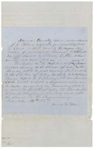 Other papersApplication of James E. Patton, 14 March 1857, to locate 6,347,962 square varas between Richland and Chambers Creeks on McGown's balance certificate.General Land Office, file 865, page 6 · in the scan
 DocketField-notes jacket for John McGown, patented 26 April 1859, with a receipt for government dues dated 25 January 1860.General Land Office, file 865, page 7 · in the scan
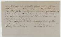 LetterOrder of James E. Patton, 16 July 1858, asking Commissioner Francis M. White to deliver the McGown patent to A. J. McGown.General Land Office, file 865, page 8 · in the scan
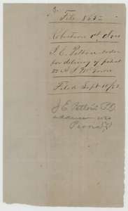 DocketFiling jacket for James E. Patton's order for delivery of the patent, filed 10 September 1858.General Land Office, file 865, page 9 · in the scan
Scans courtesy of the Texas General Land Office, Austin, from its Land Grant Database.
On this ground today
- Historical markersBarry, Barry Baptist Church
Places that stand inside this survey’s lines as the state’s survey map draws them.
Neighbouring surveys
Sources
- Texas General Land Office, Land Grant Database: Navarro County, Abstract 528
- The Land Office file, scanned (PDF, at the General Land Office)
- 1924 map: courtesy of the Texas General Land Office, Austin, Map 73249, used under licence. Topo: U.S. Geological Survey, The National Map. Aerial photographs: U.S. Department of Agriculture, National Agriculture Imagery Program, 2012, 2018 and 2022. Survey outlines: Railroad Commission of Texas, Original Texas Land Survey. Grant records and files: Texas General Land Office.