Blackland TX · ← All the original surveys
Heirs of Samuel Halloway Survey, Abstract 404
- Granted to
- Heirs of Samuel Halloway
- Kind of grant
- Donation warrantLand given for the battles of 1835–36: Bexar, the Alamo, San Jacinto.
- Land Office file
- Robertson Donation, file 1032
- Certificate
- No. 4/14
- Acres
- 414
- Patented to
- Heirs of Sam'l Halloway
- Patent
- 05 Apr 1870 · No. 349, Vol. 3
Tap a survey to open its page.
What the file shows
Samuel Holloway fell at the Alamo on 6 March 1836, and on 4 Dec 1858 Commissioner of Claims Edward Clark issued donation warrant No. 414 for 640 acres to his heirs. In July 1868 Robt. M. Elgin filed on two vacancies west of Corsicana, and County Surveyor J. M. Eliot surveyed 414 acres on Cottonwood Creek and 226 acres on the head of Little Briar Creek on 19 Aug 1868. Both surveys were patented to the heirs of Samuel Holloway, deceased, on 5 April 1870 (Nos. 348-349, Vol. 3), and the patents appear to have gone to Elgin in May 1870.
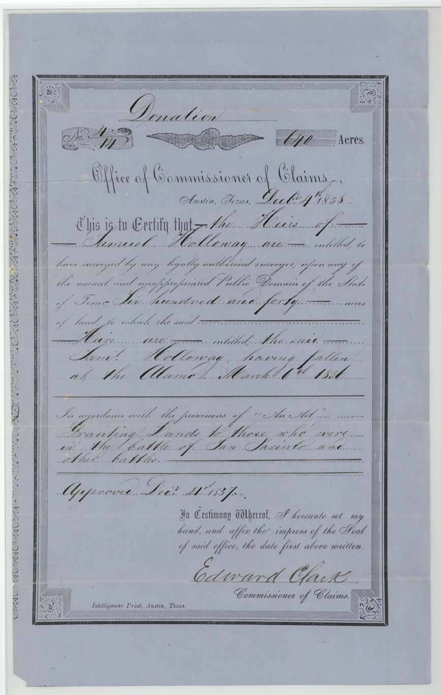
The certificate
donation, No. 414 (written 4/14 on the form), 640 acres, Edward Clark, Commissioner of Claims, Austin, Texas, 4 Dec 1858.
The Heirs of Samuel Holloway are entitled to 640 acres, 'the said Saml. Holloway having fallen at the Alamo March 6th 1836', under the Act granting lands to those who were in the battle of San Jacinto and other battles, approved Dec. 21, 1837.
The survey
19 Aug 1868 (certified 2 Sep 1868), J. M. Eliot.
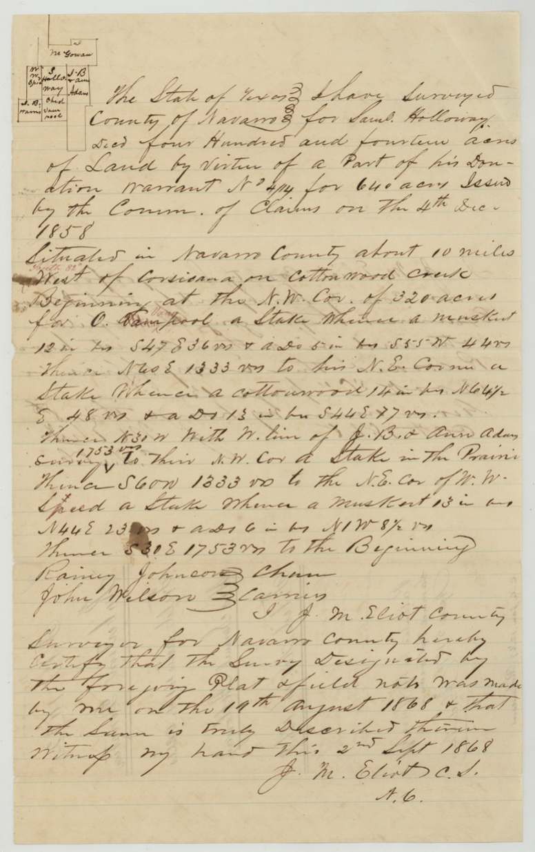
414 acres for Saml. Holloway decd, part of donation warrant No. 414; in Navarro County about 10 miles West (red correction: 'North 82°' added) of Corsicana on Cottonwood Creek. Beginning at the N.W. cor. of 320 acres for O. Vanpool (red correction of 'Vampool').
Chain carriers: Rainy Johnson, John Wilson.
Navarro County Book C, page 12(?)
The survey
19 Aug 1868 (certified 2 Sep 1868), J. M. Eliot.
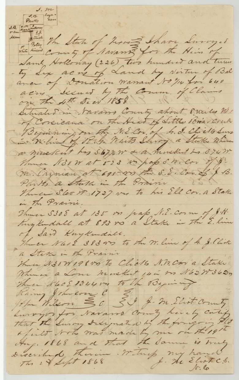
226 acres for the Heirs of Saml. Holloway, balance of donation warrant No. 414; in Navarro County about 8 miles W of Corsicana on the head of Little Briar Creek. Beginning on the N.E. cor. of G. J. Click's survey in W. line of R. G. Waits(?) survey.
Chain carriers: Rainy Johnson, John Wilson.
Navarro County Book C, page 13
The patent
5 April 1870 (jacket: 'March 2?/70' struck through), Nos. 348 and 349, Vol. 3, to The Heirs of Samuel Holloway, deceased (jacket: 'Patent to original grantee'), delivered to R. M. Elgin, May 16/70 (faint pencil on jacket flap; 'Rob. Elgin' also pencilled under the grantee name).
Also in the file
- The warrant states it is under the 1837 act for 'San Jacinto and other battles' but the basis is death at the Alamo, 6 March 1836; issued to heirs 22 years after his death and surveyed 32 years after.
- The heirs are never named in this file; the heirship affidavit is in file 913 Robertson 1st.
- Robt. M. Elgin, not the heirs, filed the application for survey and appears to have received the patents (May 16 1870), yet no transfer is in the file and the patent issued to the heirs ('original grantee').
- Survey 1 direction corrected in red from 'West' to 'North 82° West' of Corsicana; neighbour name corrected Vampool to Vanpool.
- Index spells the name Halloway; every document in the file spells it Holloway.
Timeline
- 6 Mar 1836Samuel Holloway falls at the Alamo (per certificate)
- 4 Dec 1858Commissioner of Claims Edward Clark issues donation cert. No. 414 (640 ac) to his heirs
- 11 Apr 1868Affidavit of heirship (in file 913 Rob 1st; date reading uncertain)
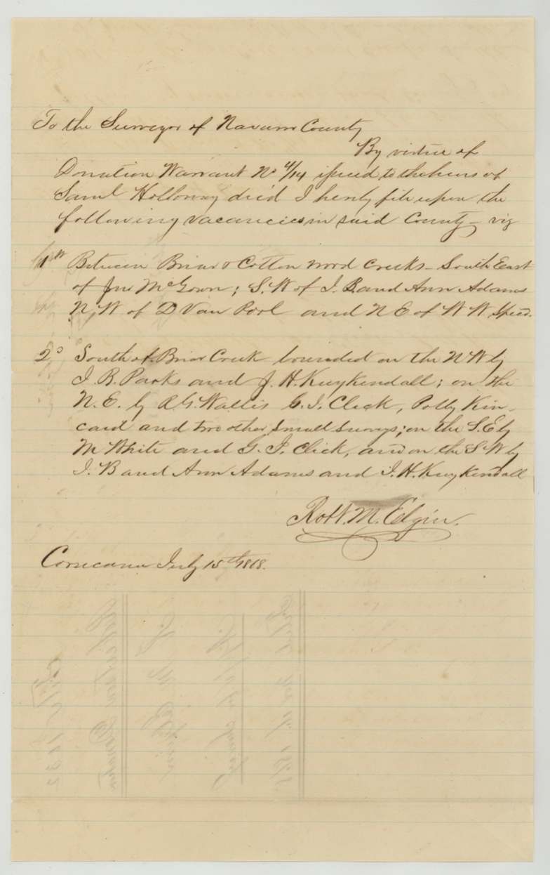
- 15 Jul 1868Robt. M. Elgin files application for survey at Corsicana on two vacancies
- 19 Aug 1868J. M. Eliot surveys 414 ac on Cottonwood Creek and 226 ac on head of Little Briar Creek
- 2 Sep 1868Eliot certifies both field notes
- 8 Oct 1868Recorded Navarro County Book C pp. 12(?)-13
- 16 Nov 1868Warrant, field notes and application filed in GLO
- 12 Jan 1869Checked by Richardson
- 19 Jan 1869C. W. Pressler finds both surveys correct on map (year read 69 from context)
- 15 Mar 1870Map re-checked by Thielepape
- 5 Apr 1870Both surveys patented to the heirs of Samuel Holloway, Nos. 348-349 Vol. 3
- 16 May 1870Patents to R. M. Elgin (delivery note)
The papers in the file
Every page of the Land Office file, in the order the Land Office keeps them (9 pages). Tap a page to see it larger.
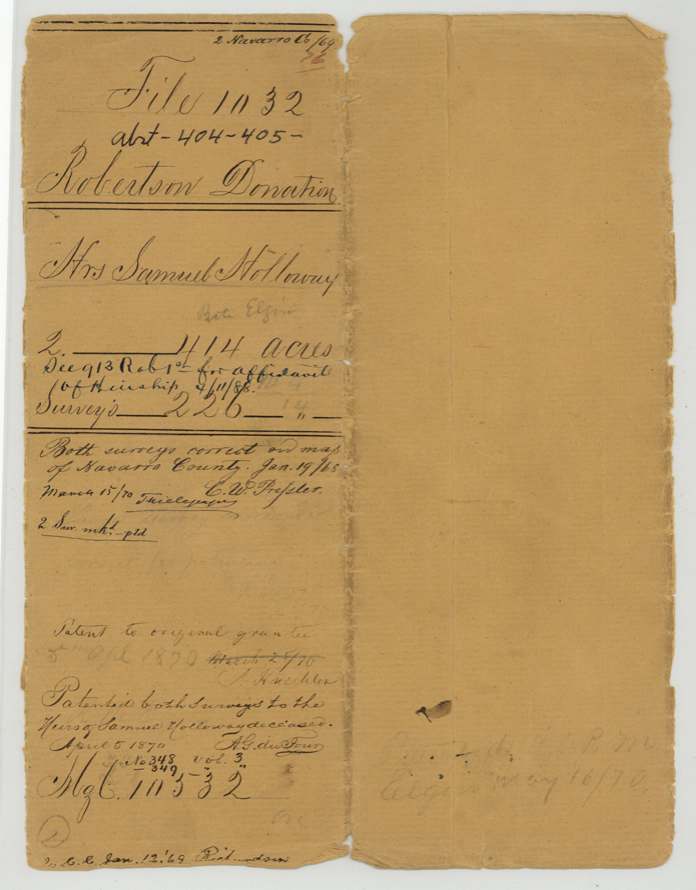
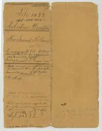 File jacketFile jacket for the donation warrant of the heirs of Samuel Holloway, 640 acres, surveyed in two tracts of 414 and 226 acres.General Land Office, file 1032, page 1 · in the scan
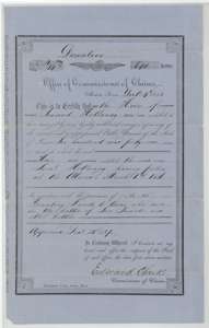 CertificateDonation certificate for 640 acres issued at Austin on 4 December 1858 by Commissioner of Claims Edward Clark to the heirs of Samuel Holloway, who fell at the Alamo.General Land Office, file 1032, page 2 · in the scan
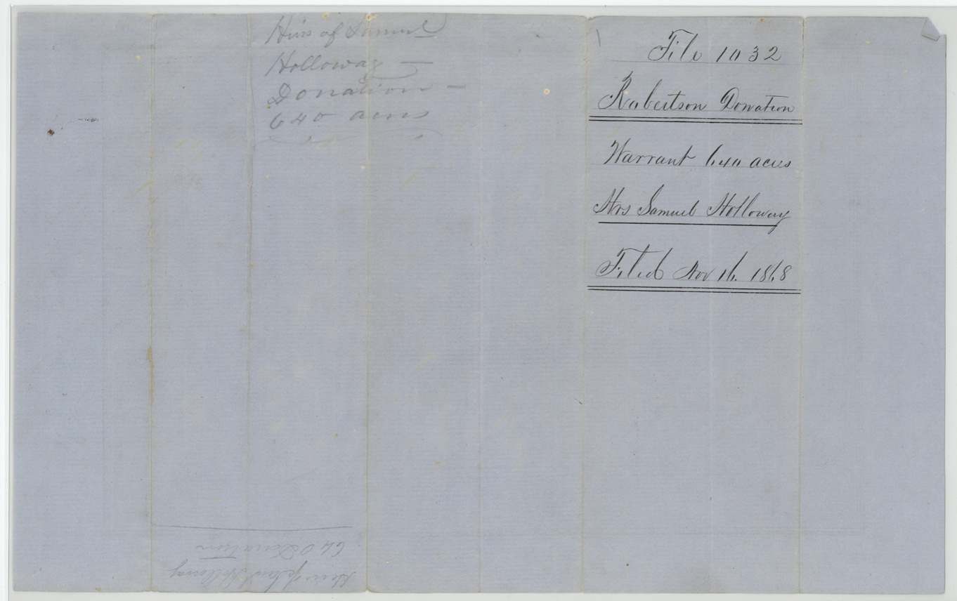
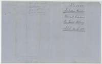 Back of the certificateBack of the donation certificate, with the Robertson Donation file docket, filed 16 November 1868.General Land Office, file 1032, page 3 · in the scan
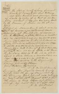 Field notesField notes and plat of 414 acres on Cottonwood Creek, west of Corsicana, for the heirs of Samuel Holloway, surveyed by county surveyor J. M. Eliot, 19 August 1868.General Land Office, file 1032, page 4 · in the scan
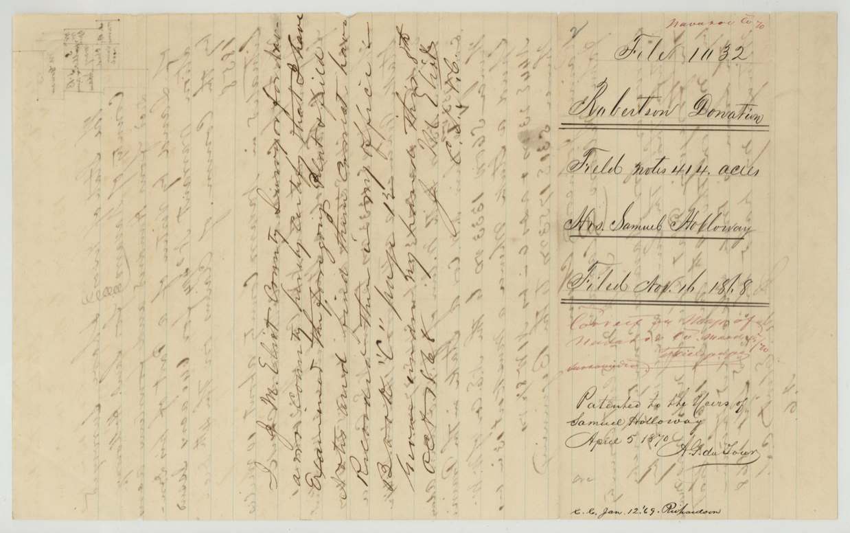
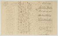 WrapperDocket wrapper for the 414-acre field notes, filed 16 November 1868, with the note of the patent to the heirs on 5 April 1870.General Land Office, file 1032, page 5 · in the scan
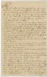 Field notesField notes and plat of 226 acres on the head of Little Briar Creek for the heirs of Samuel Holloway, surveyed by county surveyor J. M. Eliot, 19 August 1868.General Land Office, file 1032, page 6 · in the scan
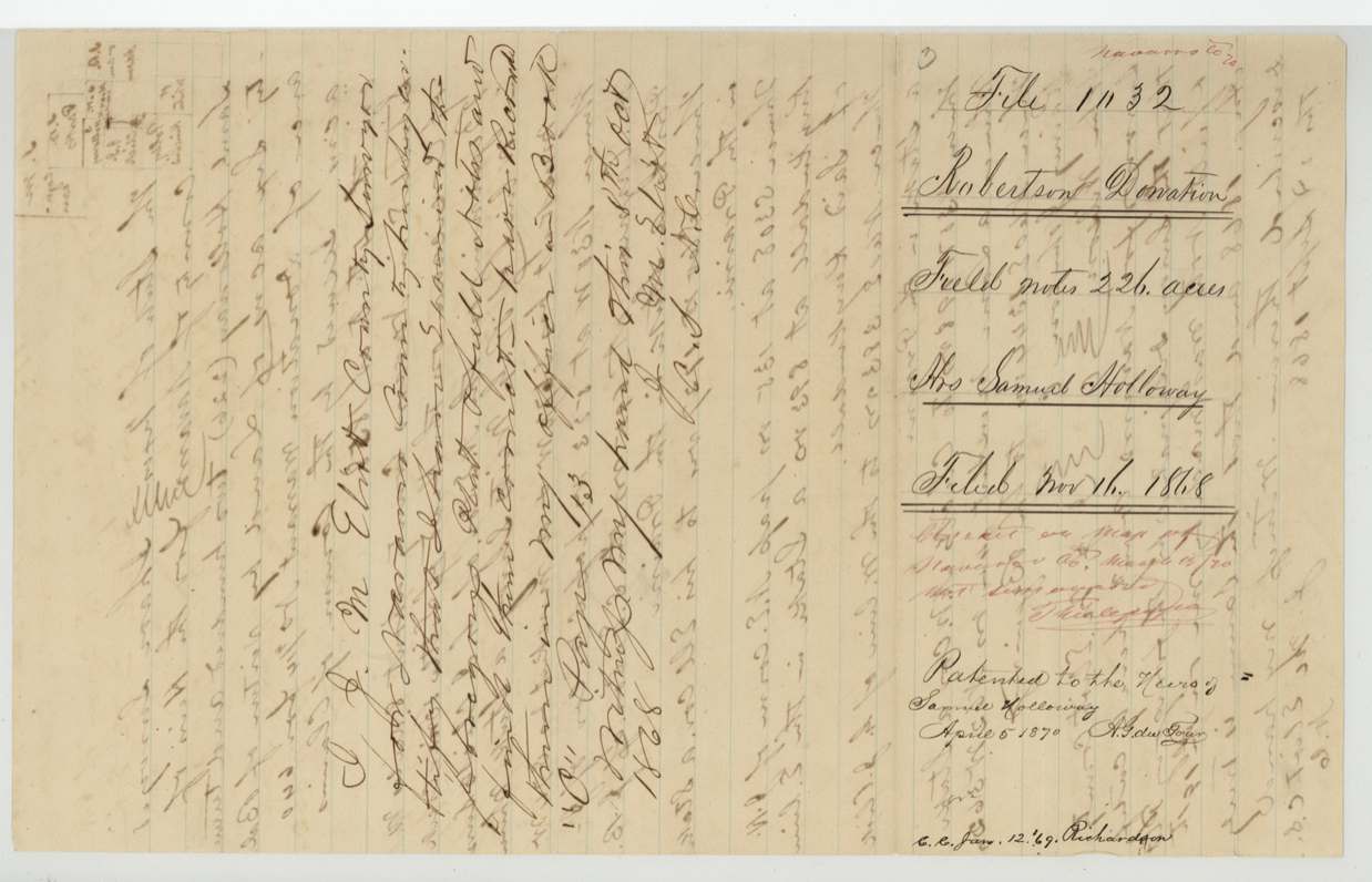
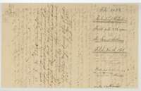 WrapperDocket wrapper for the 226-acre field notes, filed 16 November 1868, with the note of the patent to the heirs on 5 April 1870.General Land Office, file 1032, page 7 · in the scan
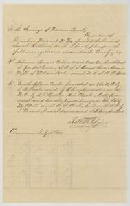 Other papersApplication of 15 July 1868 to the Navarro County surveyor to locate two vacant tracts by virtue of the Holloway donation warrant.General Land Office, file 1032, page 8 · in the scan
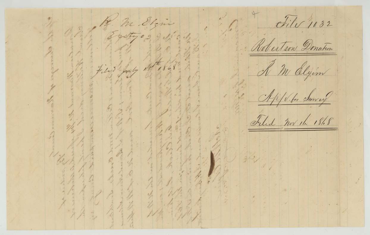
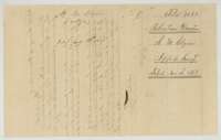 WrapperDocket wrapper for the application to survey the Holloway warrant, filed 16 November 1868.General Land Office, file 1032, page 9 · in the scan
Scans courtesy of the Texas General Land Office, Austin, from its Land Grant Database.
Neighbouring surveys
Sources
- Texas General Land Office, Land Grant Database: Navarro County, Abstract 404
- The Land Office file, scanned (PDF, at the General Land Office)
- 1924 map: courtesy of the Texas General Land Office, Austin, Map 73249, used under licence. Topo: U.S. Geological Survey, The National Map. Aerial photographs: U.S. Department of Agriculture, National Agriculture Imagery Program, 2012, 2018 and 2022. Survey outlines: Railroad Commission of Texas, Original Texas Land Survey. Grant records and files: Texas General Land Office.