Blackland TX · ← All the original surveys
John B. and Ann Adams Survey, Abstract 14
- Granted to
- John B. and Ann Adams
- Kind of grant
- Headright, first classLand for settlers who were in Texas before independence, 2 March 1836.
- Land Office file
- Robertson 1st class, file 864
- Acres
- 1081.14
- Patented to
- Heirs of John B. and Ann Adams
- Patent
- 16 Jan 1860 · No. 115, Vol. 16
Tap a survey to open its page.
What the file shows
In August 1856 the Texas Legislature passed a special act for the relief of the heirs of John B. and Ann Adams, and the Land Office issued them a certificate for a league and labor. William Adams of Lampasas County was sworn to be their only heir, and James E. Patton entered the land in March 1857. Deputy surveyor Milton Wright surveyed about 3,525 acres east of Waxahachie in Ellis County and about 1,081 acres west of Corsicana in Navarro County. Both tracts were patented to the heirs in January 1860.
The certificate
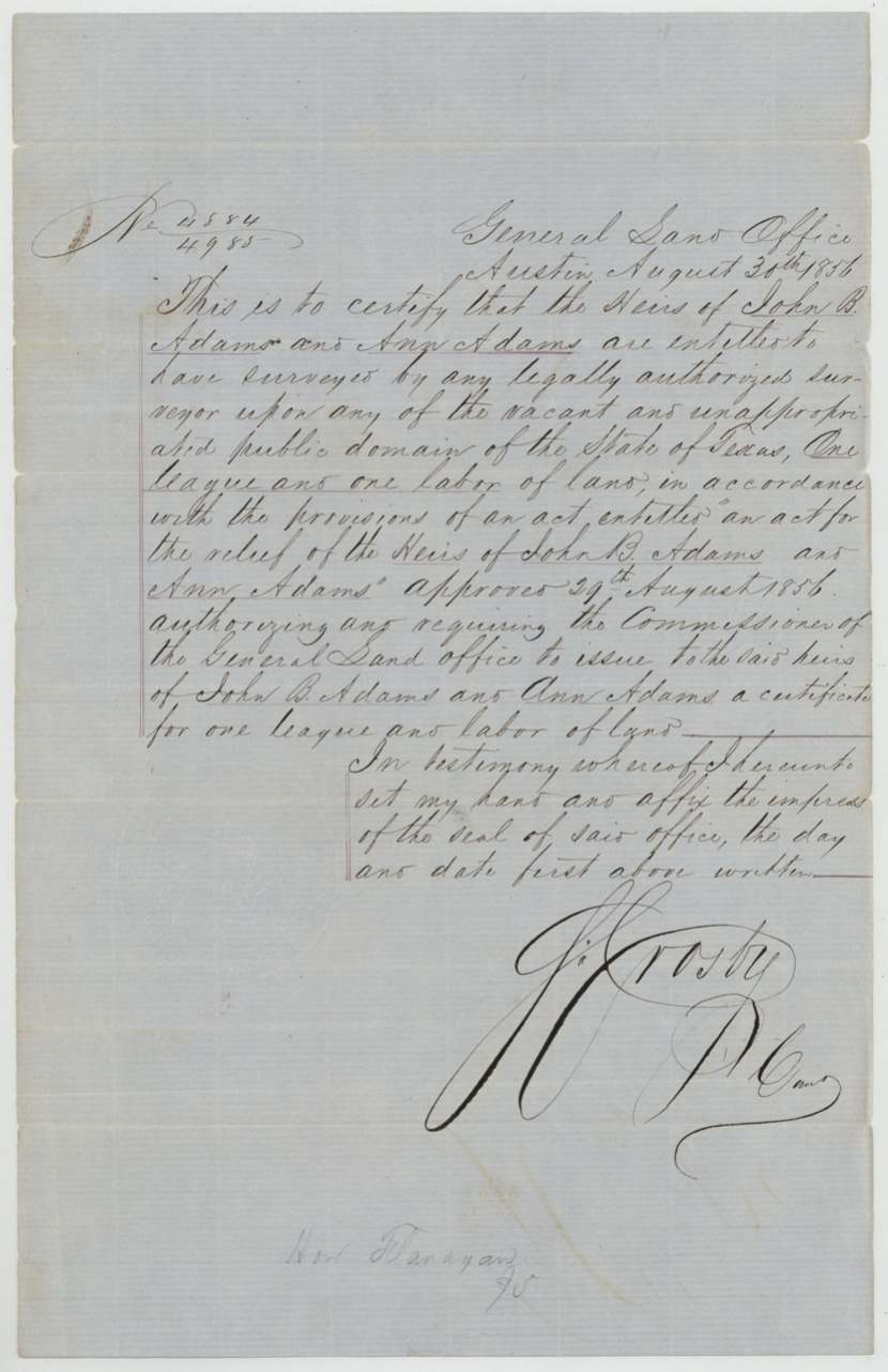
headright 1st class, No. 4884/4985 (written as a fraction), One league and one labor (26 labors), S. Crosby, Commissioner of the General Land Office, General Land Office, Austin, 30 Aug 1856.
Issued under a special act of the Legislature, 'An act for the relief of the Heirs of John B. Adams and Ann Adams', approved 29 Aug 1856, which required the Commissioner to issue the heirs a certificate for one league and labor
Changes of hand
- not statedHeirs of John B. and Ann Adams (William Adams) → James E. Patton. Not in the file: a struck-out contents note on the jacket says the 'chain of transfer to Jas. E. Patton' was forwarded to him 'for evidence in a suit', July 19/59. Patton made both entries.
The survey
1857-03-28 and 31 (certified 1857-04-23), Milton Wright, Deputy Surveyor, Robertson Land District.
Ellis County about 3 miles N 60(?) E from the town of Waxahachie; entry says east of Waxahachie between Grove and Mustang creeks
Chain carriers: J. H. Spencer, G. H. Cunningham.
Book U, pages 145-147
The survey
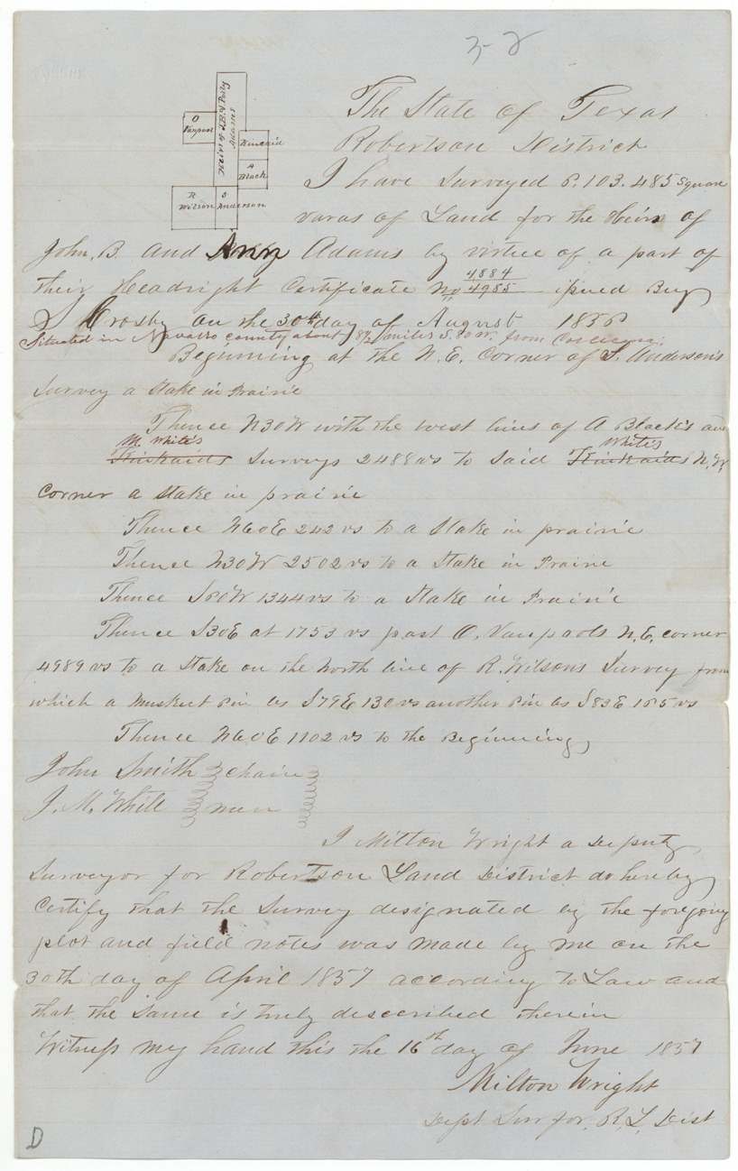
1857-04-30 (certified 1857-06-16), Milton Wright, Deputy Surveyor, Robertson Land District.
Navarro County about 8½ miles S 80 W from Corsicana (red ink); entry says between Richland and Chambers creeks
Chain carriers: John Smith, J. M. White.
Book U, page 172
The patent
1860-01-14 (Navarro survey) and 1860-01-16; jacket also shows '21 Jany 1859' beside one number, No. 887 Vol. 11 and No. 115 Vol. 16, to The heirs of John B. Adams and Ann Adams (both surveys), delivered to not stated.
Also in the file
- This league came not from an ordinary land board but from a special act of the Legislature passed for the Adams heirs in August 1856.
- The only heir proved in the file is William Adams of Lampasas County, yet the papers transferring the claim to James E. Patton were pulled from the file in 1859 and sent to him for use in a lawsuit.
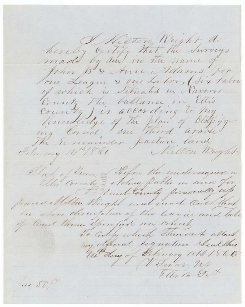
- Milton Wright's land classification is dated 14 February 1860, after the patents (January 1860), though it is docketed as filed January 1860.
- One patent number on the jacket carries the date 21 January 1859, a year before the other patent dates.
- The heirship affidavit's year is written 1857 over an earlier figure.
Timeline
- 29 Aug 1856Legislature passes an act for the relief of the heirs of John B. and Ann Adams
- 30 Aug 1856GLO issues certificate for one league and labor
- 13 Jan 1857Paces swear in Lampasas County that William Adams is the only heir
- 2 Mar 1857James E. Patton enters 17 labors east of Waxahachie
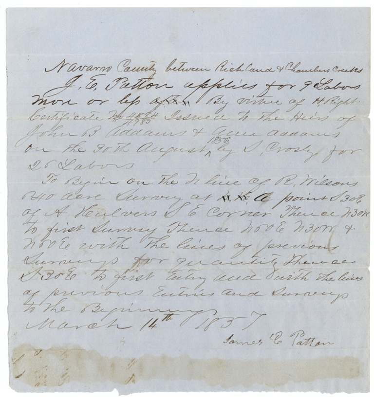
- 14 Mar 1857Patton enters 9 labors between Richland and Chambers creeks, Navarro County
- 31 Mar 1857Milton Wright completes Ellis County survey
- 30 Apr 1857Milton Wright surveys the Navarro County tract
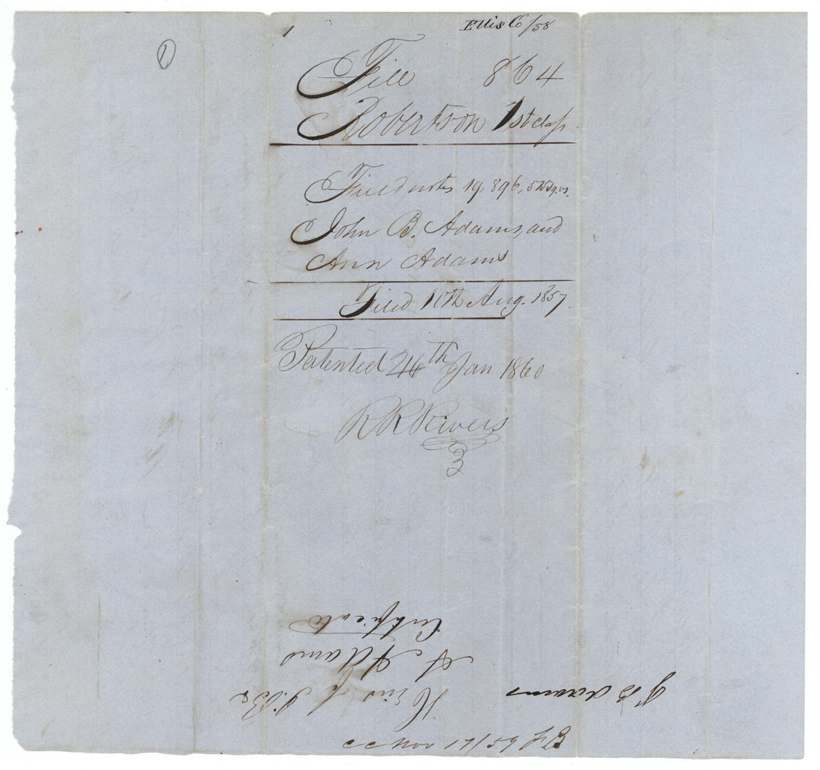
- 10 Aug 1857Field notes and certificate filed in the GLO
- 19 Jul 1859Chain of transfer sent to J. E. Patton for evidence in a suit
- 14 Jan 1860Patents issued to the heirs of John B. and Ann Adams
- 14 Feb 1860Milton Wright swears to the land classification
The papers in the file
Every page of the Land Office file, in the order the Land Office keeps them (17 pages). Tap a page to see it larger.
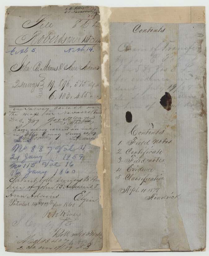
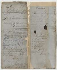 File jacketFile jacket for the headright claim of the heirs of John B. and Ann Adams, listing the field notes, certificate, evidence and classification.General Land Office, file 864, page 1 · in the scan
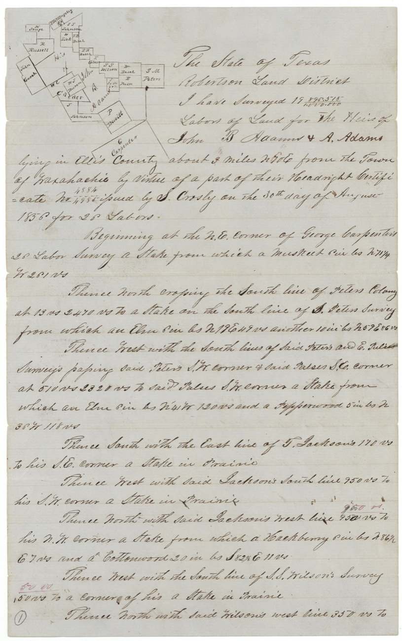
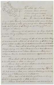 Field notesField notes with a plat for about 3,525 acres in Ellis County east of Waxahachie, surveyed for the heirs of John B. and Ann Adams by Milton Wright, March 1857.General Land Office, file 864, page 2 · in the scan
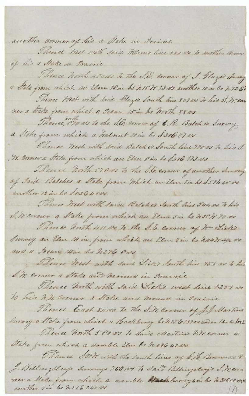
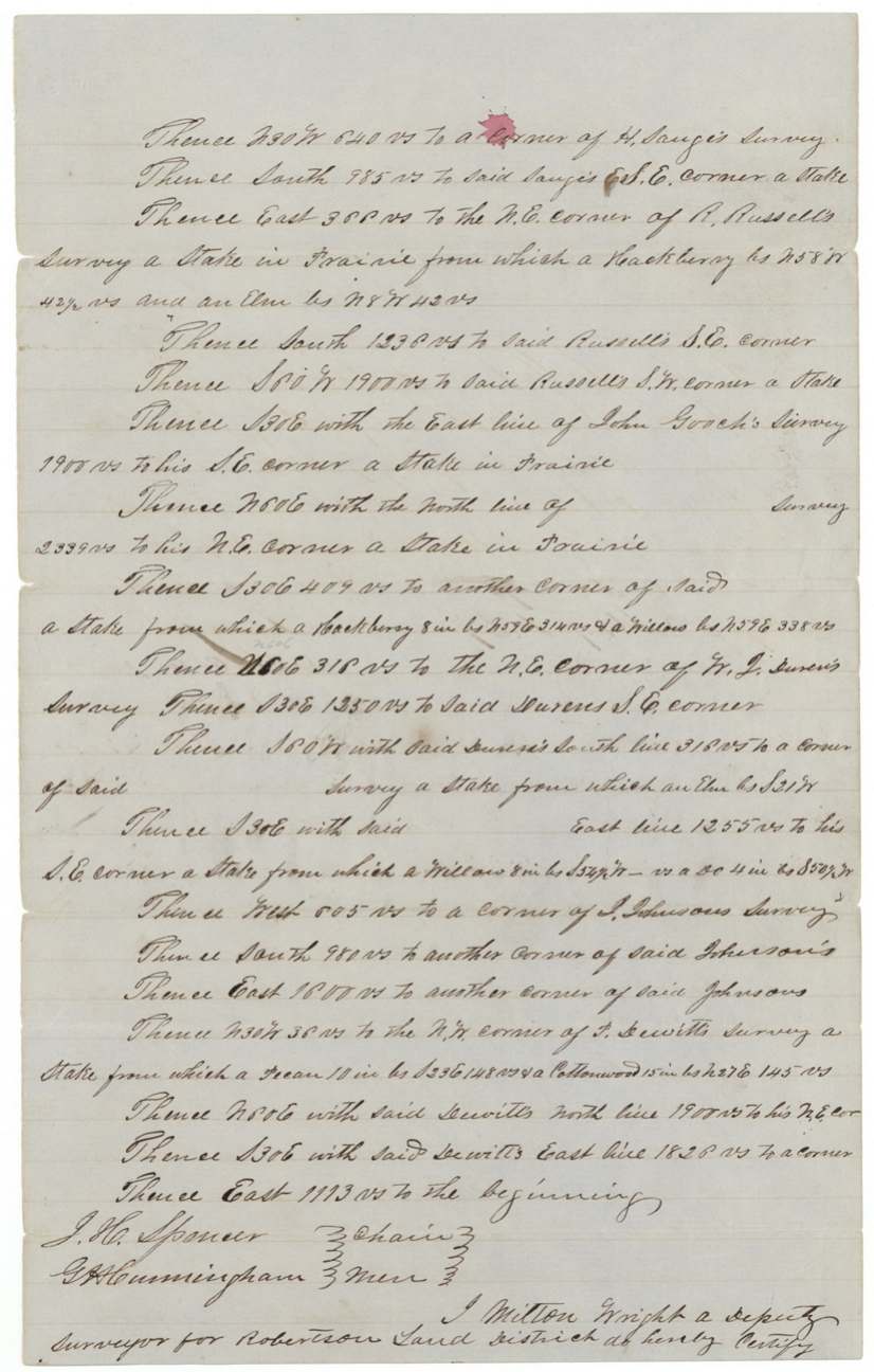
 Field notesSecond page of the Ellis County field notes, running the boundary past neighbouring surveys.General Land Office, file 864, page 3 · in the scan
 Field notesThird page of the Ellis County field notes, closing the boundary at the beginning corner.General Land Office, file 864, page 4 · in the scan
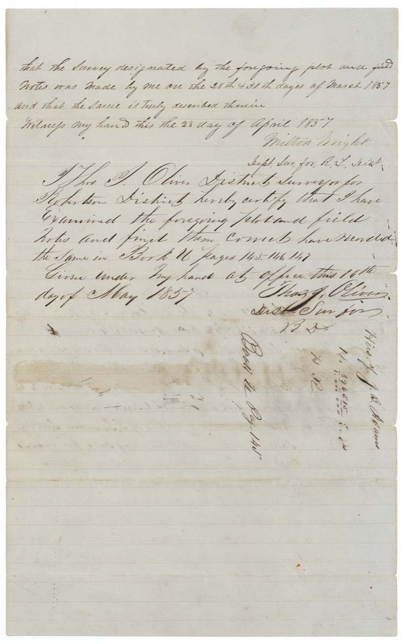
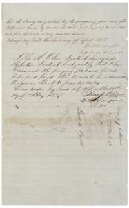 Field notesEnd of the Ellis County field notes, with Milton Wright's certificate of 23 April 1857 and the district surveyor's examination of 16 May 1857.General Land Office, file 864, page 5 · in the scan
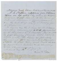 Other papersEntry by James E. Patton of 14 March 1857 for about nine labors of land in Navarro County between Richland and Chambers creeks.General Land Office, file 864, page 6 · in the scan
 WrapperFiling wrapper for the Adams papers, marked filed 10 August 1857 and patented 14 January 1860.General Land Office, file 864, page 7 · in the scan
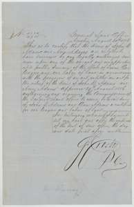 CertificateGeneral Land Office certificate of 30 August 1856 giving the heirs of John B. and Ann Adams one league and one labor, under a special act of the Legislature.General Land Office, file 864, page 8 · in the scan
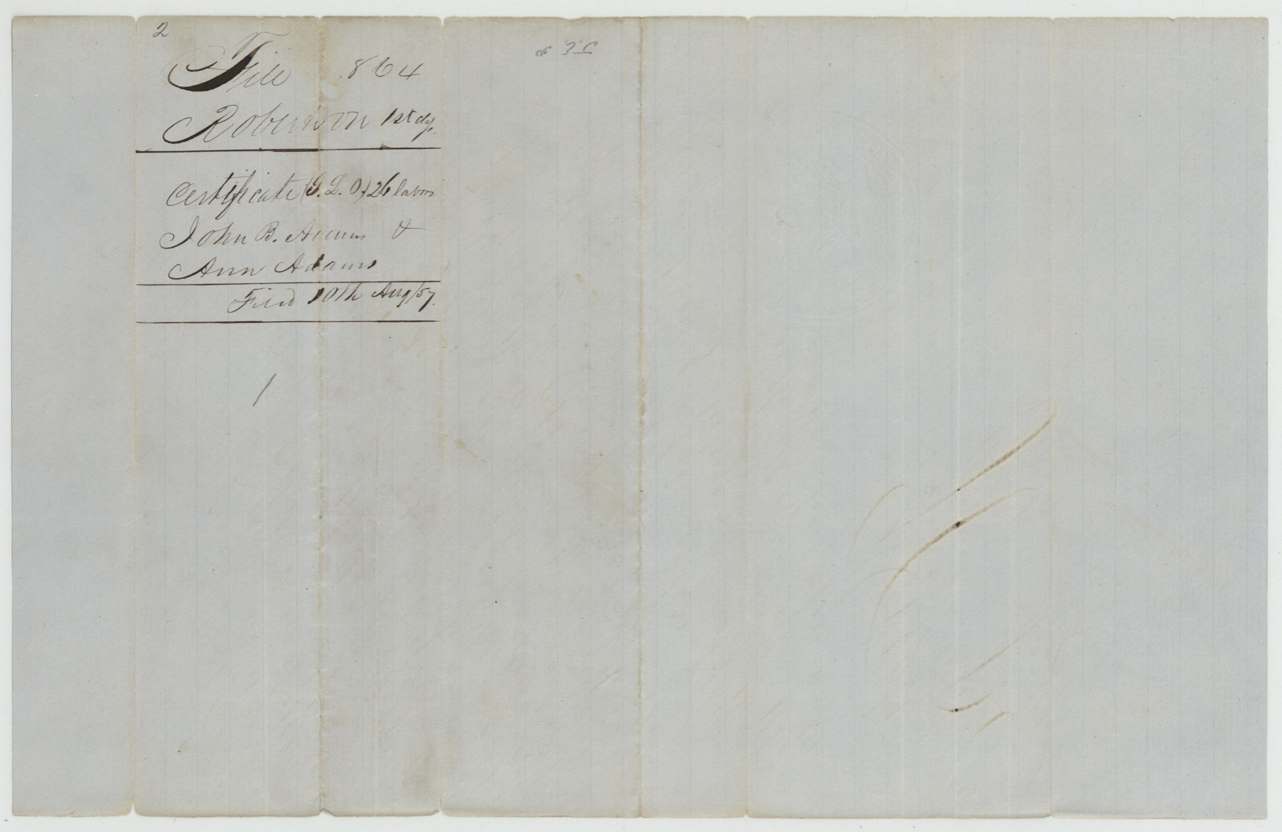
 Back of the certificateBack of the certificate, with the Land Office filing note of 10 August 1857.General Land Office, file 864, page 9 · in the scan
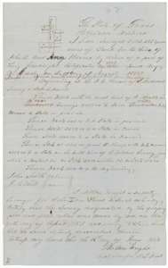 Field notesField notes with a plat for about 1,081 acres in Navarro County, surveyed for the heirs of John B. and Ann Adams by Milton Wright, 30 April 1857.General Land Office, file 864, page 10 · in the scan
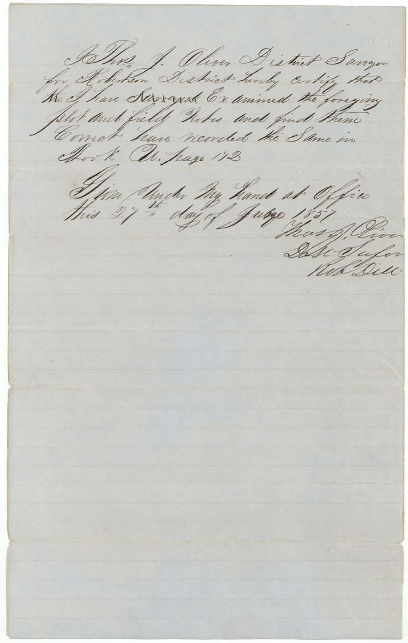
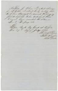 Surveyor's certificateDistrict surveyor Thos. J. Oliver's certificate that he examined the Navarro County field notes and found them correct, recorded 27 June 1857.General Land Office, file 864, page 11 · in the scan
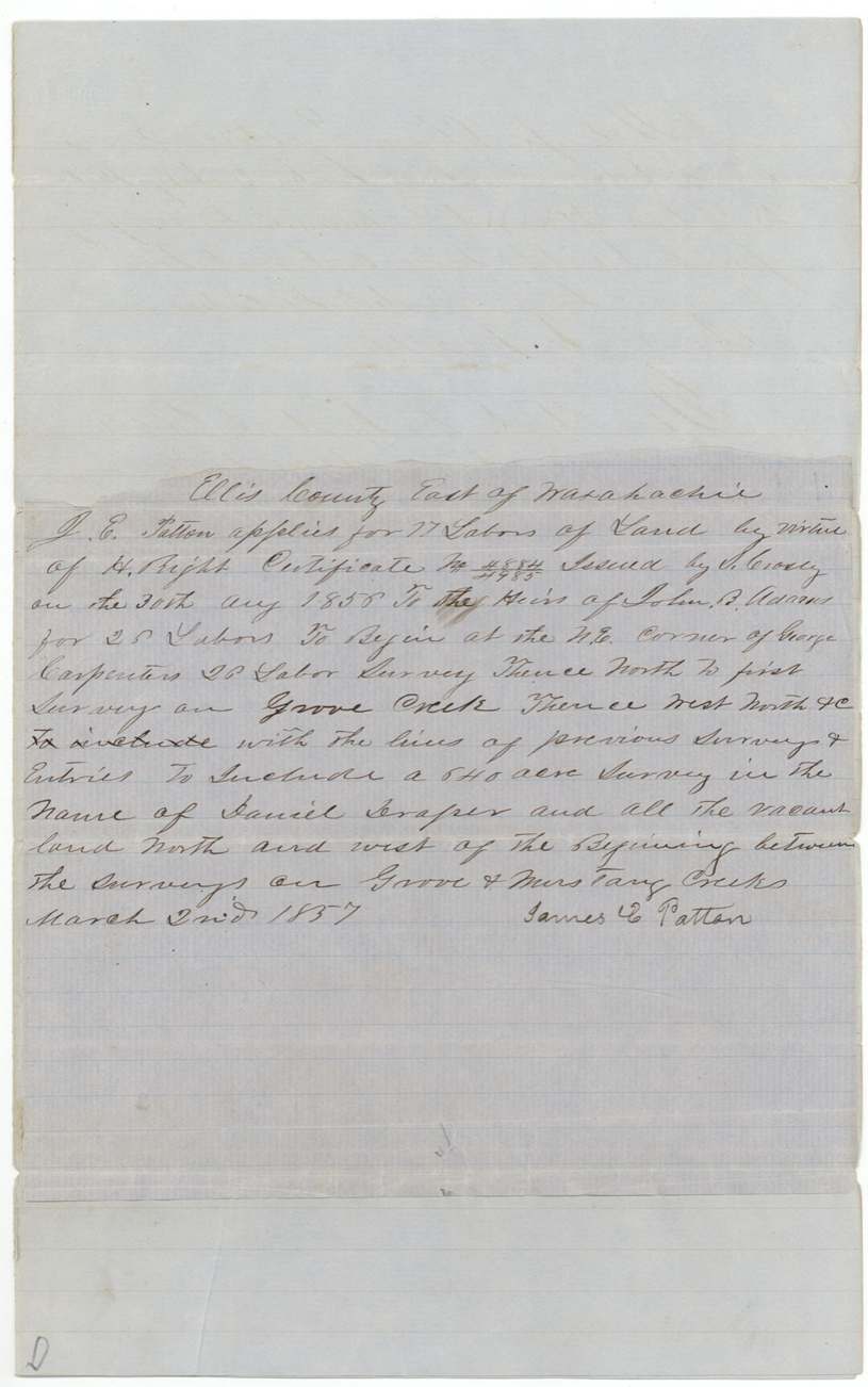
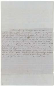 Other papersEntry by James E. Patton of 2 March 1857 for 17 labors of land in Ellis County between Grove and Mustang creeks.General Land Office, file 864, page 12 · in the scan
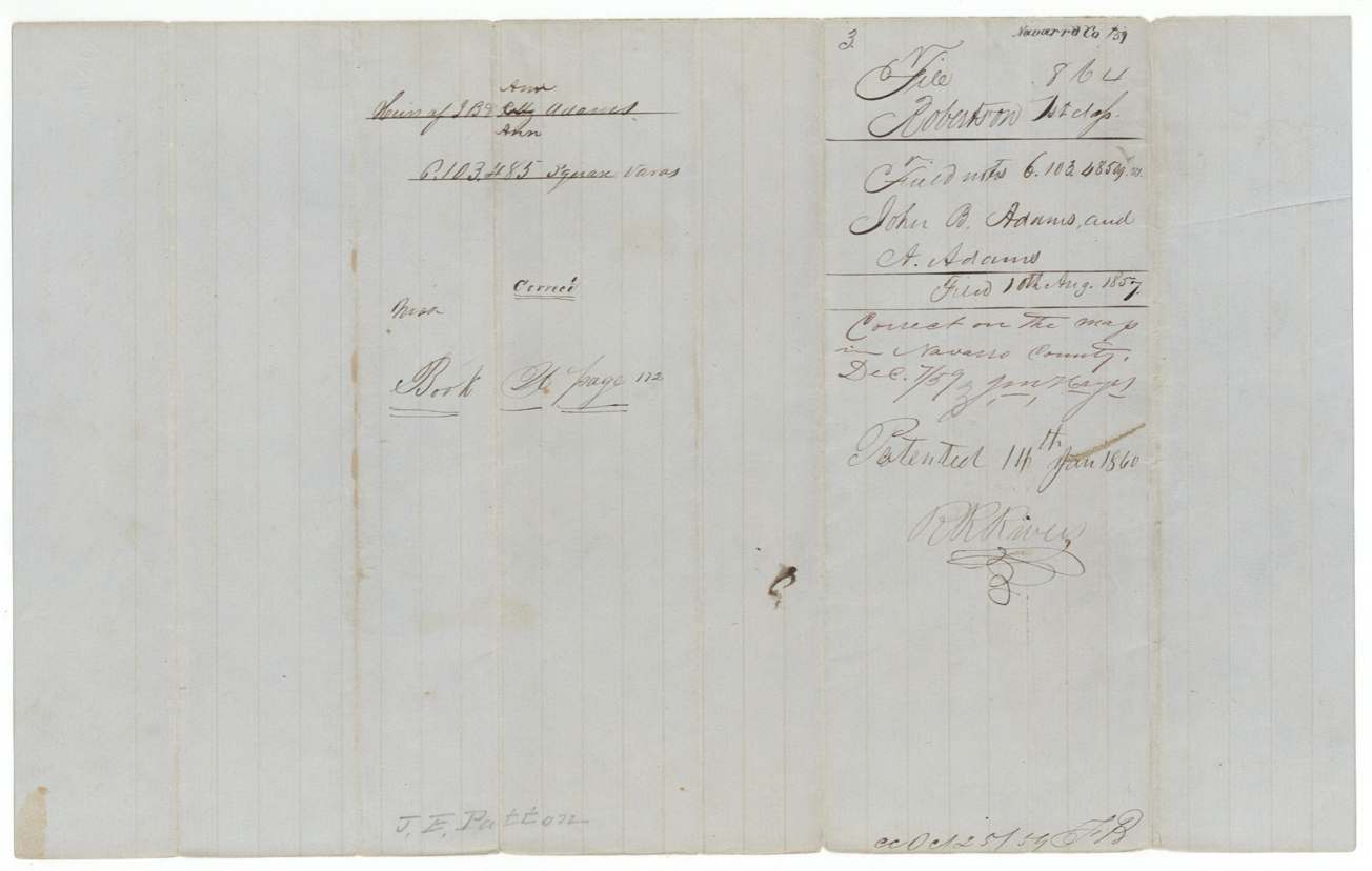
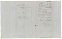 WrapperBack of the Adams papers with file notes, marked filed 10 August 1857 and patented 14 January 1860.General Land Office, file 864, page 13 · in the scan
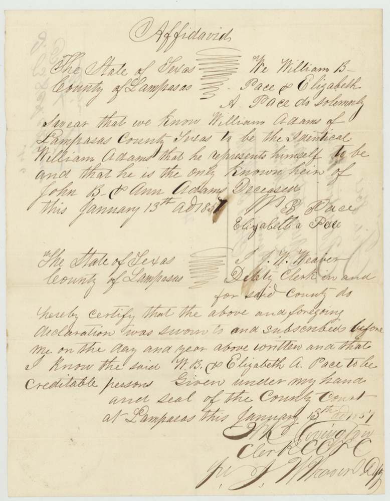
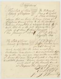 AffidavitAffidavit made in Lampasas County, 13 January 1857, that William Adams is the only known heir of John B. and Ann Adams.General Land Office, file 864, page 14 · in the scan
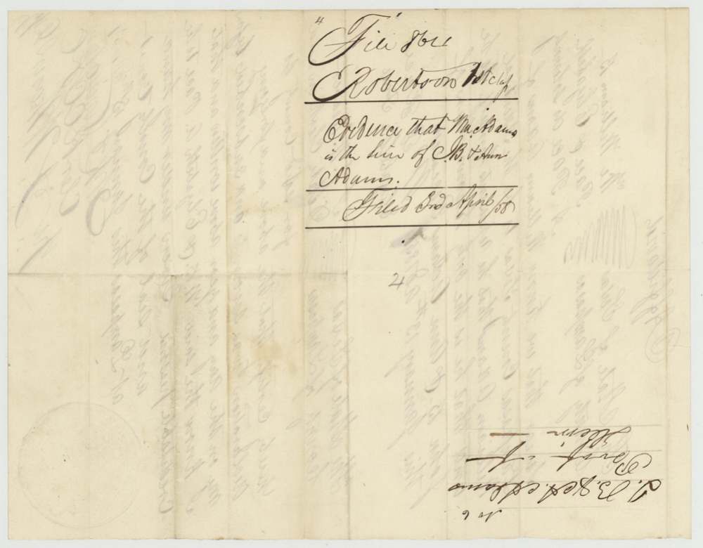
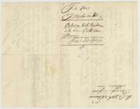 WrapperFiling wrapper for the affidavit about the heir, marked filed 3 April 1858.General Land Office, file 864, page 15 · in the scan
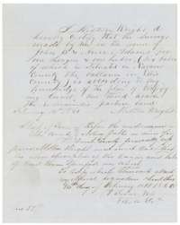 AffidavitMilton Wright's sworn statement of 14 February 1860 classifying the surveyed land as one third arable and the rest pasture.General Land Office, file 864, page 16 · in the scan
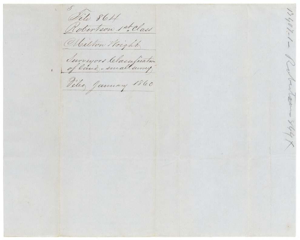
 WrapperFiling wrapper for the surveyor's classification of the land, filed January 1860.General Land Office, file 864, page 17 · in the scan
Scans courtesy of the Texas General Land Office, Austin, from its Land Grant Database.
Neighbouring surveys
Sources
- Texas General Land Office, Land Grant Database: Navarro County, Abstract 14
- The Land Office file, scanned (PDF, at the General Land Office)
- 1924 map: courtesy of the Texas General Land Office, Austin, Map 73249, used under licence. Topo: U.S. Geological Survey, The National Map. Aerial photographs: U.S. Department of Agriculture, National Agriculture Imagery Program, 2012, 2018 and 2022. Survey outlines: Railroad Commission of Texas, Original Texas Land Survey. Grant records and files: Texas General Land Office.