Blackland TX · ← All the original surveys
Solomon Anderson Survey, Abstract 22
- Granted to
- Solomon Anderson
- Kind of grant
- Headright, third classLand for later settlers, including the colonists of Mercer’s Colony.
- Land Office file
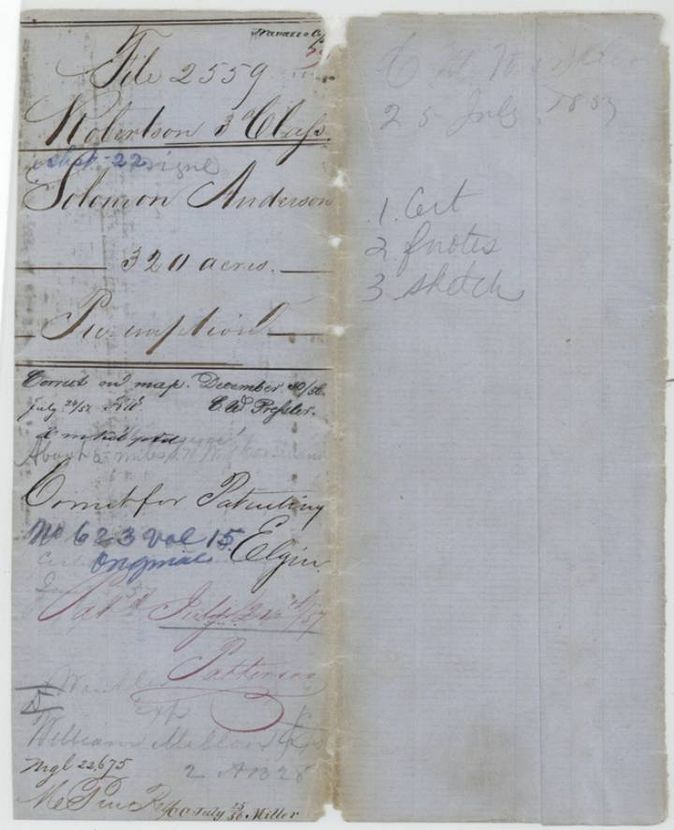
- Robertson 3rd class, file 2559
- Acres
- 320
- Patented to
- Solomon Anderson
- Patent
- 24 Jul 1857 · No. 623, Vol. 15
Tap a survey to open its page.
What the file shows
Solomon Anderson claimed a 320-acre preemption on vacant land about 8 miles southwest of Corsicana, settling in late 1853. Deputy Surveyor Wm. L. Browning surveyed it on 28 June 1854, and the Navarro County clerk certified in January 1857 that Anderson had lived on and cultivated it for three years. The patent issued to Anderson in July 1857.
The certificate
preemption (320 acres), No. none; preemption claim, no certificate number, 320 acres, Navarro County Clerk A. Duren(?), County Court clerk, certifying the settlement; sworn affidavit before B. P. Hollingsworth, Deputy Surveyor, Robertson Land District, Corsicana, Navarro County, 30 Jan 1857.
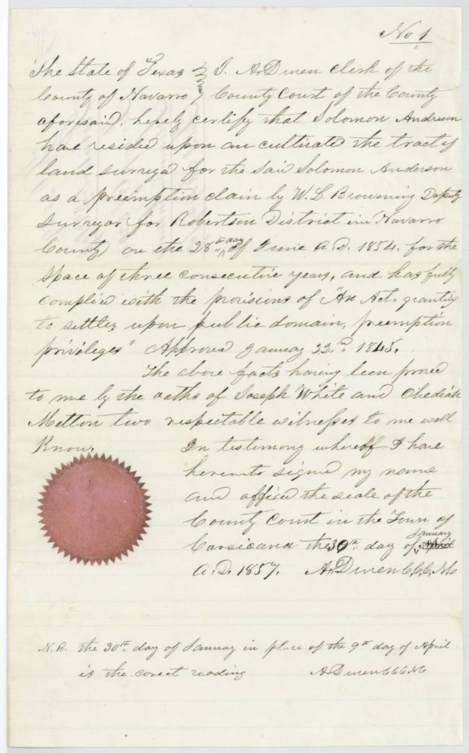
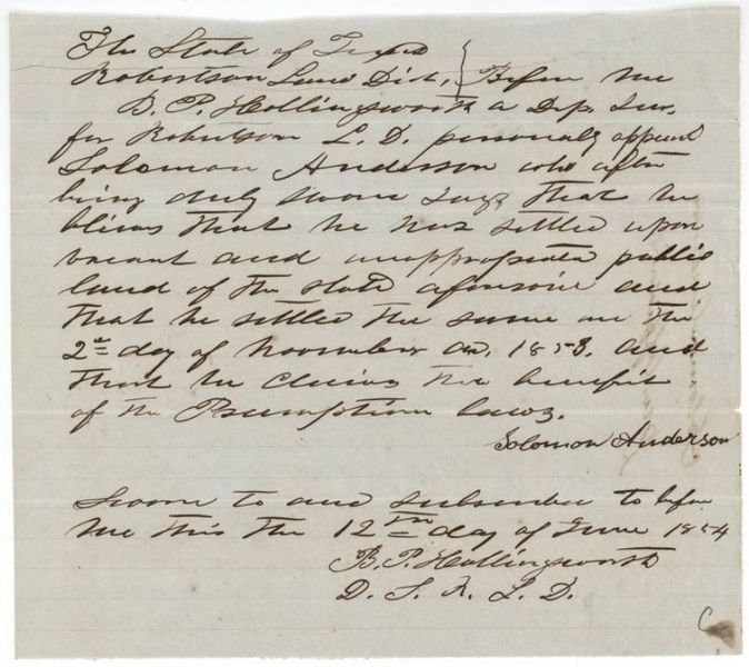
Clerk certifies, on the oaths of Joseph White and Obediah Melton, that Solomon Anderson resided upon and cultivated the tract surveyed for him as a preemption claim by W. L. Browning on 28 June 1854 for three consecutive years, complying with the act granting preemption privileges to settlers on the public domain, approved 22 Jan 1845. Anderson's own affidavit of 12 June 1854 says he settled the vacant public land on 2 November 1853(?) and claims the preemption laws.
The survey
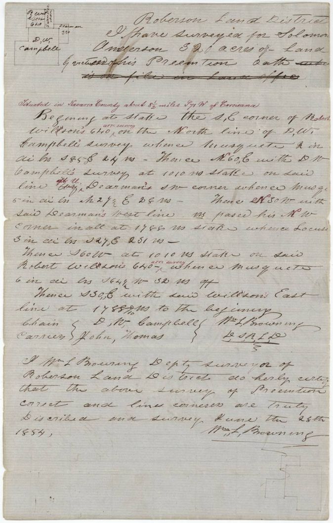
28 Jun 1854, Wm. L. Browning, Deputy Surveyor, Robertson Land District.
Navarro County, about 8 1/2 miles S 71 W of Corsicana (red-ink insertion)
Chain carriers: D. W. Campbell, John Thomas.
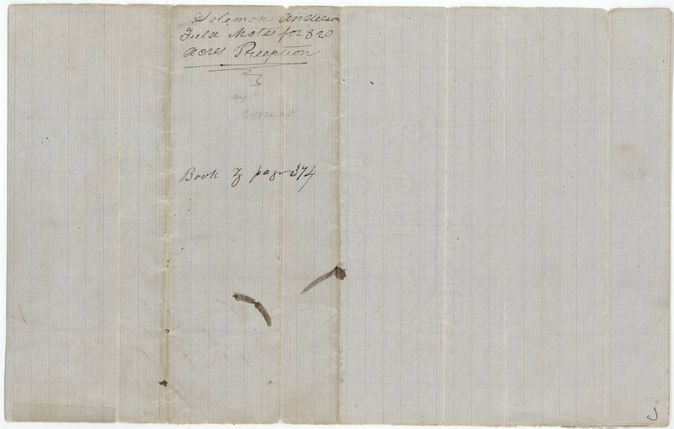
Book Z(?), page 374
The patent
24 Jul 1857, No. 623, Vol. 15, to Solomon Anderson, delivered to not stated.
Also in the file
- County clerk's certificate first dated 9 April 1857 was corrected in a note to 30 January 1857.
- Anderson swore he settled the land on 2 November 1853(?) in a June 1854 affidavit, yet the certificate says he lived on and cultivated the land for three consecutive years from the 28 June 1854 survey; filed 1857.
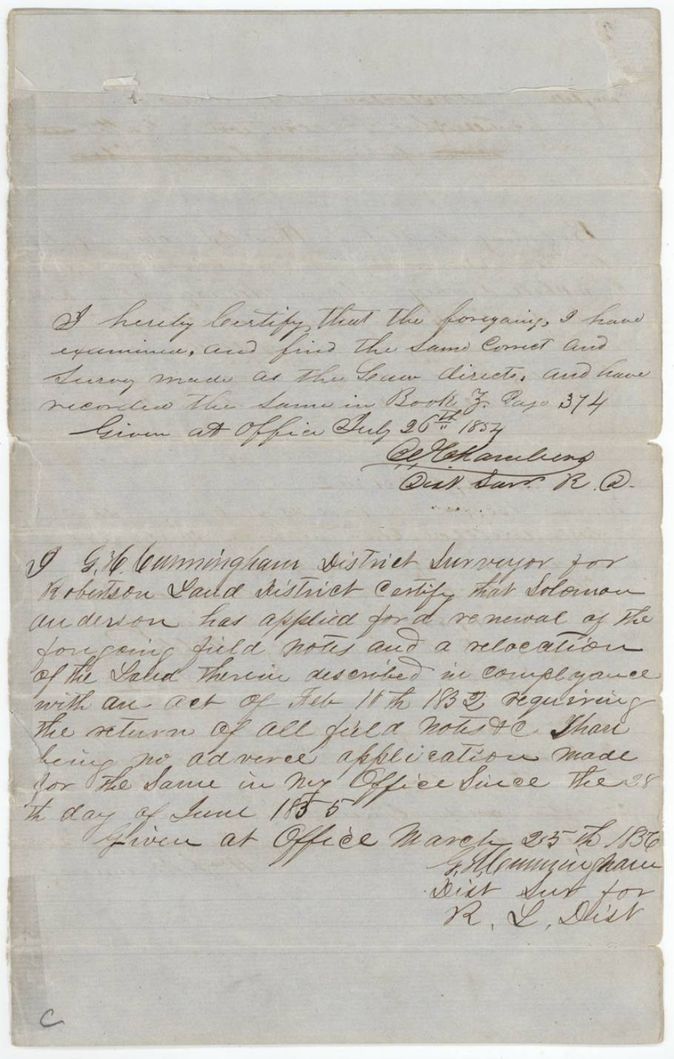
- Renewal certificate of March 1856 says no adverse claim since 28 June 1855(?), though the survey was dated 28 June 1854.
- Printed heading on the field notes struck out: 'oath ... is on file in Land Office'.
- Index matches the jacket: patent 24 July 1857, No. 623, Vol. 15, 320 acres; certificate blank because it is a preemption.
Timeline
- 22 Jan 1845Act granting preemption privileges to settlers on the public domain approved
- 2 Nov 1853Date Anderson swears he settled the vacant land (reading uncertain)
- 12 Jun 1854Anderson's preemption affidavit sworn before B. P. Hollingsworth
- 28 Jun 1854Wm. L. Browning surveys 320 acres for Anderson
- 26 Jul 1854District Surveyor examines and records the field notes
- 25 Mar 1856G. H. Cunningham certifies renewal and relocation of the field notes
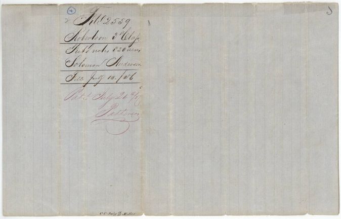
- 10 Jul 1856Field notes filed in the General Land Office
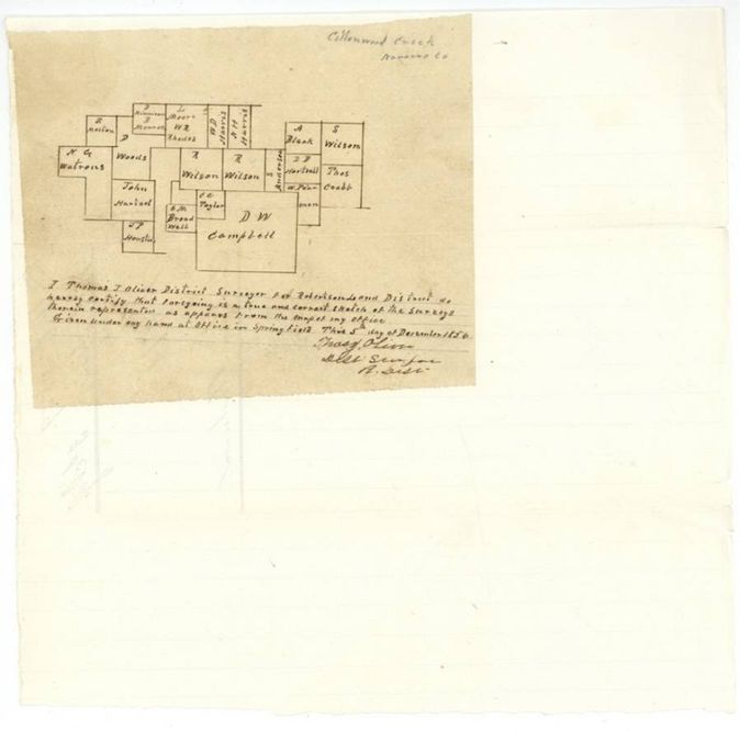
- 5 Dec 1856Thomas J. Oliver certifies sketch of surrounding surveys on Cottonwood Creek
- 30 Dec 1856Survey checked correct on map
- 30 Jan 1857Navarro County Clerk certifies three years' residence and cultivation
- 27 May 1857Preemption papers filed in the General Land Office
- 24 Jul 1857Patent No. 623, Vol. 15 to Solomon Anderson
The papers in the file
Every page of the Land Office file, in the order the Land Office keeps them (11 pages). Tap a page to see it larger.
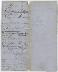 File jacketFile jacket for Solomon Anderson, 320-acre preemption, marked patented 24 July 1857, No. 623 Vol. 15, with contents list of certificate, field notes and sketch.General Land Office, file 2559, page 1 · in the scan
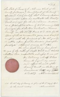 CertificateNavarro County clerk's preemption certificate that Solomon Anderson lived on and cultivated the surveyed tract for three years, proved by Joseph White and Obediah Melton.General Land Office, file 2559, page 2 · in the scan
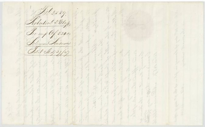
 WrapperWrapper no. 1 for the preemption certificate of 320 acres, filed 27 May 1857.General Land Office, file 2559, page 3 · in the scan
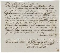 AffidavitSolomon Anderson's oath before Deputy Surveyor B. P. Hollingsworth that he settled vacant public land in November 1853 and claims preemption.General Land Office, file 2559, page 4 · in the scan
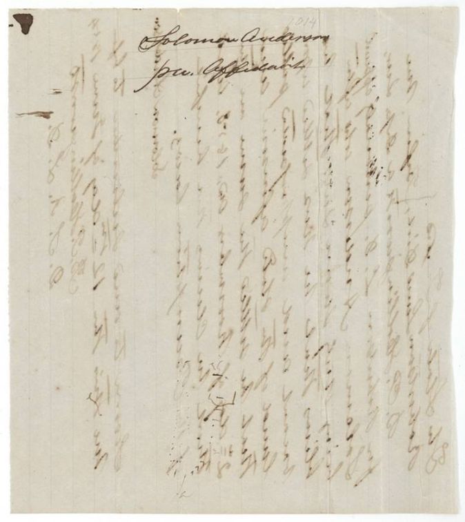
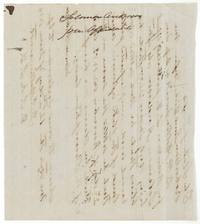 WrapperBack of the preemption affidavit, endorsed Solomon Anderson pre-emp. affidavit.General Land Office, file 2559, page 5 · in the scan
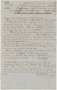 Field notesField notes and plat of 320 acres for Solomon Anderson about 8 1/2 miles S 71 W of Corsicana by Wm. L. Browning, 28 June 1854.General Land Office, file 2559, page 6 · in the scan
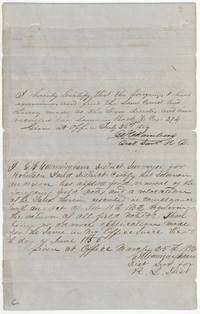 Surveyor's certificateDistrict Surveyor's certificates recording the field notes in July 1854 and renewing and relocating them on 25 March 1856 (G. H. Cunningham).General Land Office, file 2559, page 7 · in the scan
 WrapperBack of the field notes endorsed Solomon Anderson, field notes for 320 acres preemption, Book Z page 374, correct.General Land Office, file 2559, page 8 · in the scan
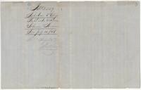 WrapperWrapper no. 2 for the field notes, filed 10 July 1856 and patented 24 July 1857.General Land Office, file 2559, page 9 · in the scan
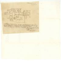 PlatSketch of the surveys near Cottonwood Creek, Navarro County, certified by District Surveyor Thomas J. Oliver at Springfield, 5 December 1856.General Land Office, file 2559, page 10 · in the scan
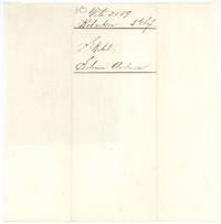 WrapperWrapper no. 3 labelled Sketch, Solomon Anderson.General Land Office, file 2559, page 11 · in the scan
Scans courtesy of the Texas General Land Office, Austin, from its Land Grant Database.
Neighbouring surveys
Sources
- Texas General Land Office, Land Grant Database: Navarro County, Abstract 22
- The Land Office file, scanned (PDF, at the General Land Office)
- 1924 map: courtesy of the Texas General Land Office, Austin, Map 73249, used under licence. Topo: U.S. Geological Survey, The National Map. Aerial photographs: U.S. Department of Agriculture, National Agriculture Imagery Program, 2012, 2018 and 2022. Survey outlines: Railroad Commission of Texas, Original Texas Land Survey. Grant records and files: Texas General Land Office.