Blackland TX · ← All the original surveys
Robert Wilson Survey, Abstract 879
- Granted to
- Robert Wilson
- Kind of grant
- Bounty warrantLand paid for service in the army of the Republic.
- Land Office file
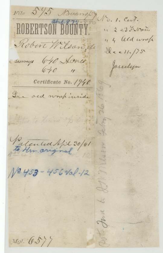
- Robertson Bounty, file 595
- Certificate
- No. 1940
- Acres
- 640
- Patented to
- Heirs of Robert Wilson
- Patent
- 30 Apr 1861 · No. 453, Vol. 12
Tap a survey to open its page.
What the file shows
Robert Wilson served from 19 January 1836 until his death on 27 March 1836, and the Republic issued a 1,280-acre bounty certificate (No. 1940) in his name at Houston in January 1838. Robertson County Surveyor C. C. Taylor located it in May 1844 as two adjoining 640-acre surveys (Nos. 14 and 15) on Richland and Cottonwood Creeks, about 9-10 miles southwest of Corsicana. A J. W. Wilson endorsed the warrant to Samuel Brumbary(?) in Montgomery County, but the Land Office treated it as a dead soldier's claim. Both surveys were patented to Wilson's heirs on 30 April 1861, and the patents were delivered to J. W. Wilson in 1869.
The certificate
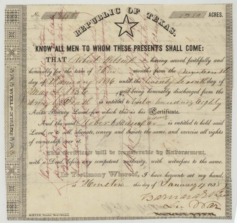
bounty, No. 1940, 1280 acres, Barnard E. Bee, Secretary of War, Republic of Texas, Houston, 1838-01-19 (certificate face reads 'January 1? 1838'; field notes give 19 January 1838).
Robert Wilson 'having served faithfully and honorably for the term of three months from the nineteenth day of January 1836 until the twenty seventh day of March 1836, and being honorably discharged from the army by death' — entitled to 1,280 acres bounty land; 'Robert Wilson or adm'r' entitled to hold it
Changes of hand
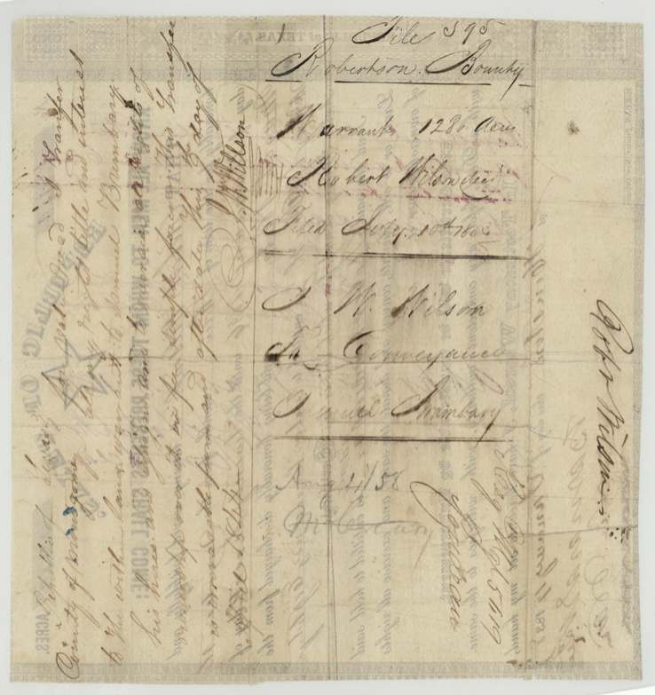
- April 1844(?) (day '7'(?); year read as 1844)J. W. Willson (Wilson) → Samuel Brumbary(?), 'for value received' — not stated, County of Montgomery, Republic of Texas. Endorsed on the back of the warrant: transfers all right, title and interest in the warrant to Samuel Brumbary(?), his heirs and assigns, 'irrevocable from and after date'. J. W. Wilson's relationship to Robert Wilson is not stated. The patents nonetheless issued to Robert Wilson's heirs.
The survey
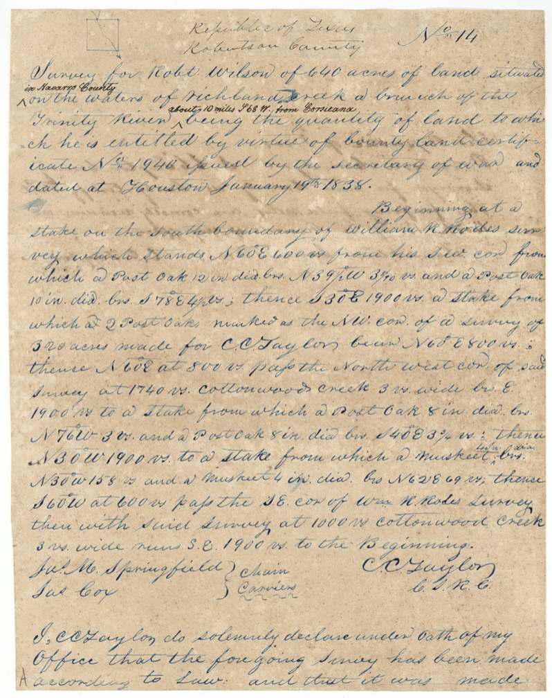
1844-05-27 (certified at Franklin 1844-07-26), C. C. Taylor, County Surveyor, Robertson County.
Then Robertson County, now Navarro County; on the waters of Richland Creek, a branch of the Trinity River, about 10 miles S 68 W from Corsicana (later addition)
Chain carriers: Jas. M. Springfield, Jas. Cox.
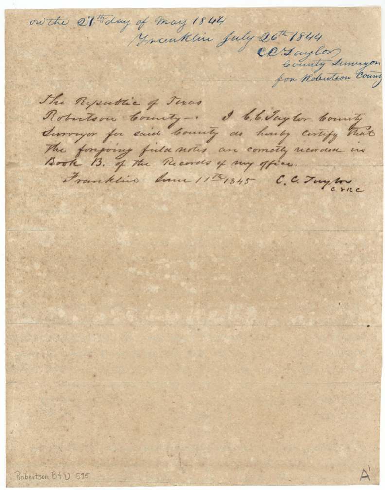
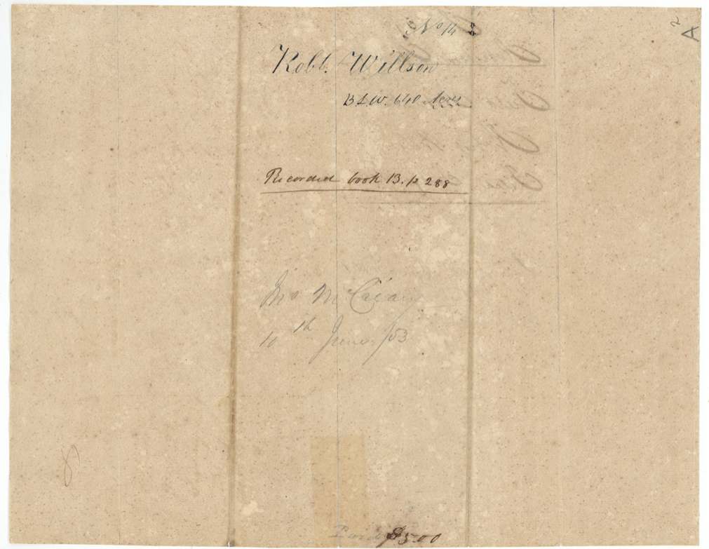
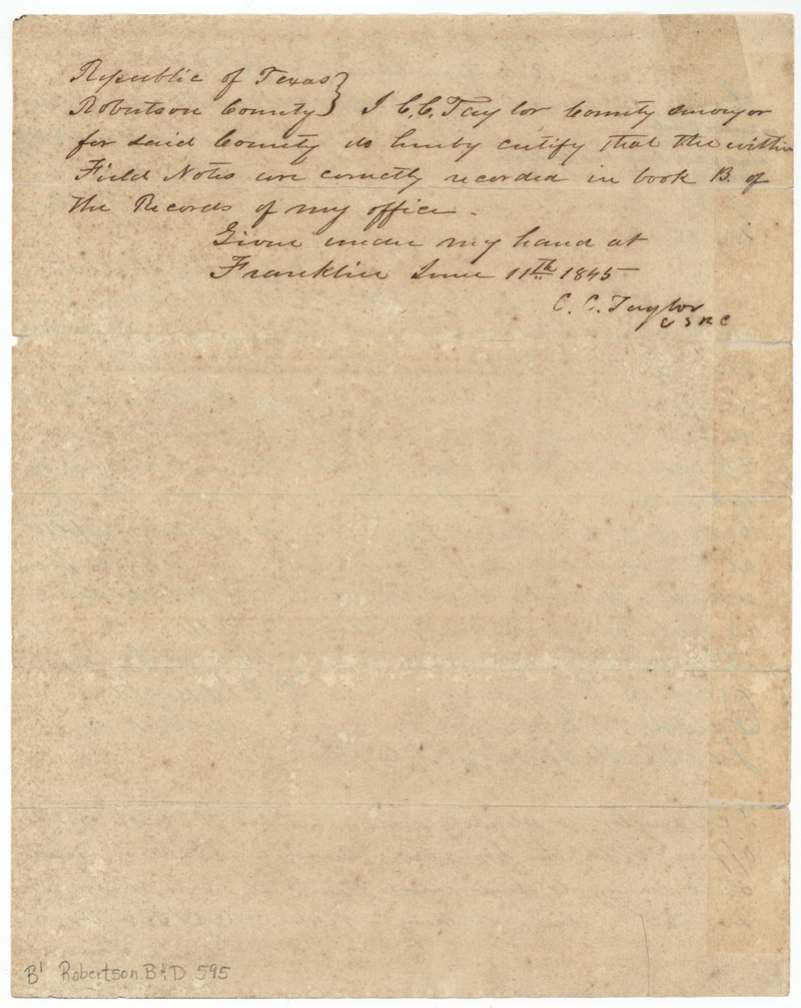
Robertson County surveyor's Book B (certified Franklin, 11 June 1845); endorsed 'Recorded book 13 p. 288'
The survey
1844-05 (day left blank in the surveyor's oath), C. C. Taylor, County Surveyor, Robertson County.
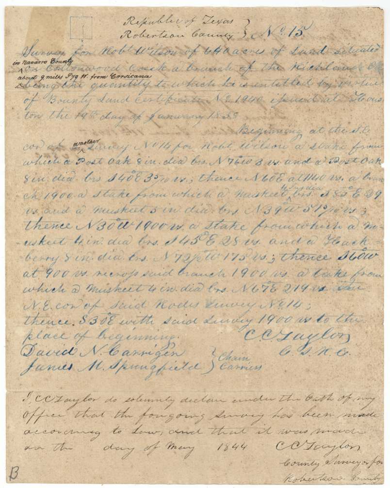
Then Robertson County, now Navarro County; on Cottonwood Creek, a branch of Richland Creek, about 9 miles S 79 W from Corsicana (later addition)
Chain carriers: David N. Carrigen(?), James M. Springfield.
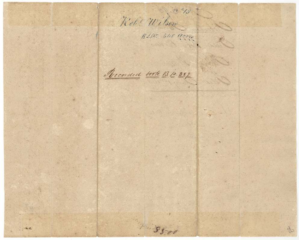
Robertson County Book B (certified Franklin, 11 June 1845); endorsed 'Recorded book 13 p. 287'
The patent
30 Apr 1861, Nos. 453 (Survey 14 / Abs. 879) and 456 (Survey 15 / Abs. 880), Vol. 12, to Heirs of Robert Wilson ('to Hrs. original'), delivered to J. W. Wilson, 26 Feb 1869 (pencil on jacket: 'Pats. dl'd(?) to J. W. Wilson Feby 26 1869').
Also in the file
- Robert Wilson was 'honorably discharged from the army by death' on 27 March 1836 — the day of the Goliad massacre — so the land went to his heirs.
- Someone named J. W. Wilson signed the warrant over to Samuel Brumbary(?) in Montgomery County in the 1840s, but the patents were still issued to the heirs, and a clerk warned that this 'dead soldier's claim' patent was not to be handed over without the heirs' authority. J. W. Wilson collected the patents in 1869.
- The surveys were made in 1844, when this land was still part of Robertson County, but the papers were not filed in the Land Office until 1853 and were not patented until 1861.
- The second survey's field notes call 'said Rodes survey No. 14', mixing up the neighbour's name with Wilson's own Survey No. 14.
Timeline
- 19 Jan 1836Robert Wilson's service begins
- 27 Mar 1836Service ends with his death
- 19 Jan 1838Bounty certificate No. 1940 for 1,280 acres issued at Houston
- Apr 1844J. W. Willson endorses the warrant to Samuel Brumbary(?) in Montgomery County (date uncertain)
- 27 May 1844C. C. Taylor surveys No. 14 (and No. 15 the same month) on Richland and Cottonwood Creeks
- 11 Jun 1845Field notes recorded in Robertson County Book B at Franklin
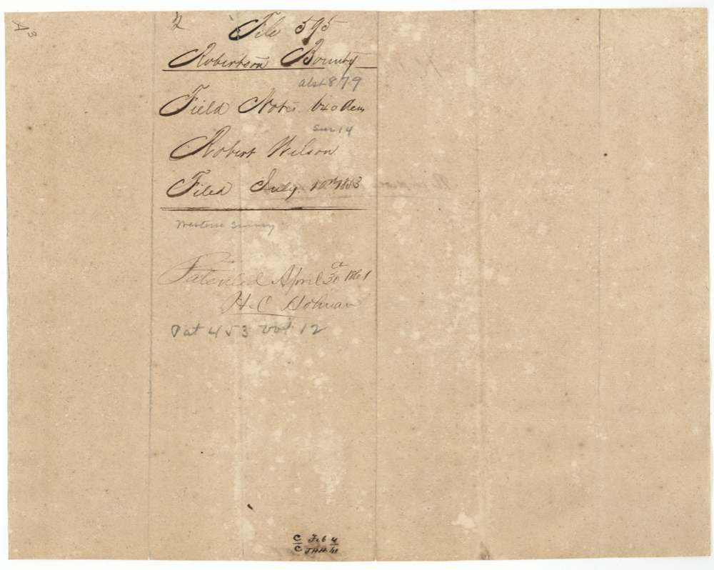
- 10 Jul 1853Warrant and field notes filed in the GLO
- 30 Apr 1861Both surveys patented to the heirs, Nos. 453 and 456 Vol. 12
- 26 Feb 1869Patents delivered to J. W. Wilson
The papers in the file
Every page of the Land Office file, in the order the Land Office keeps them (12 pages). Tap a page to see it larger.
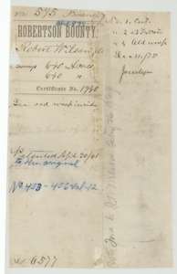 File jacketFile jacket for Robert Wilson's two 640-acre bounty surveys on bounty certificate No. 1940, patented to his heirs on 30 April 1861.General Land Office, file 595, page 1 · in the scan
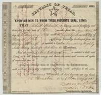 CertificateRepublic of Texas bounty certificate No. 1940 for 1,280 acres to Robert Wilson, signed by Secretary of War Barnard E. Bee at Houston, January 1838.General Land Office, file 595, page 2 · in the scan
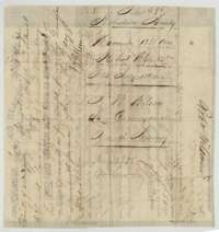 Back of the certificateBack of the certificate, with a transfer of the warrant to Samuel Brumbary and the filing note of 10 July 1853.General Land Office, file 595, page 3 · in the scan
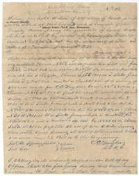 Field notesField notes for Survey No. 14, 640 acres on Richland Creek, surveyed for Robert Wilson by county surveyor C. C. Taylor, 27 May 1844.General Land Office, file 595, page 4 · in the scan
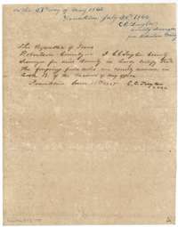 Surveyor's certificateClose of the Survey No. 14 field notes, with C. C. Taylor's certificates of 26 July 1844 and 11 June 1845 that they were recorded in Book B.General Land Office, file 595, page 5 · in the scan
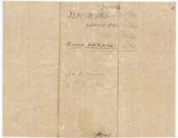 WrapperField-notes jacket for Robert Wilson's Survey No. 14, 640 acres, recorded in Book B, page 288.General Land Office, file 595, page 6 · in the scan
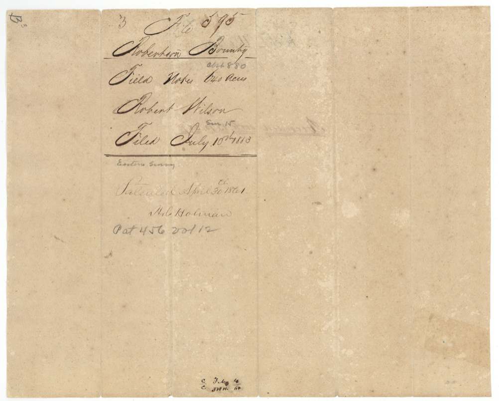
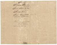 WrapperField-notes jacket for Robert Wilson's two surveys, filed 10 July 1853 and patented 30 April 1861.General Land Office, file 595, page 7 · in the scan
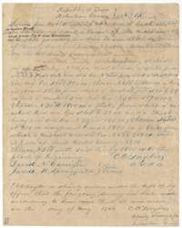 Field notesField notes for Survey No. 15, 640 acres on Cottonwood Creek, surveyed for Robert Wilson by county surveyor C. C. Taylor, May 1844.General Land Office, file 595, page 8 · in the scan
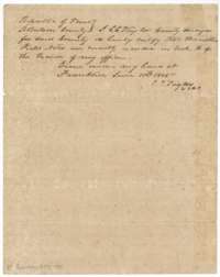 Surveyor's certificateCertificate of county surveyor C. C. Taylor, Franklin, 11 June 1845, that the Survey No. 15 field notes were recorded in Book B.General Land Office, file 595, page 9 · in the scan
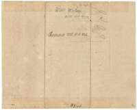 WrapperField-notes jacket for Robert Wilson's Survey No. 15, 640 acres, recorded in Book B, page 287.General Land Office, file 595, page 10 · in the scan
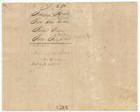 WrapperField-notes jacket for Robert Wilson's two surveys, filed 10 July 1853, marked patented in 1861.General Land Office, file 595, page 11 · in the scan
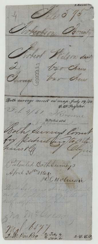
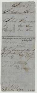 WrapperOld wrapper for Robert Wilson's two surveys, with map-check notes and the patent entry of 30 April 1861.General Land Office, file 595, page 12 · in the scan
Scans courtesy of the Texas General Land Office, Austin, from its Land Grant Database.
Neighbouring surveys
Sources
- Texas General Land Office, Land Grant Database: Navarro County, Abstract 879
- The Land Office file, scanned (PDF, at the General Land Office)
- 1924 map: courtesy of the Texas General Land Office, Austin, Map 73249, used under licence. Topo: U.S. Geological Survey, The National Map. Aerial photographs: U.S. Department of Agriculture, National Agriculture Imagery Program, 2012, 2018 and 2022. Survey outlines: Railroad Commission of Texas, Original Texas Land Survey. Grant records and files: Texas General Land Office.