Blackland TX · ← All the original surveys
Christopher C. Taylor Survey, Abstract 801
- Granted to
- Christopher C. Taylor
- Kind of grant
- Headright, third classLand for later settlers, including the colonists of Mercer’s Colony.
- Land Office file
- Robertson 3rd class, file 89
- Certificate
- No. 59
- Acres
- 320
- Patented to
- Christopher C. Taylor
- Patent
- 14 Oct 1847 · No. 267, Vol. 2
Tap a survey to open its page.
What the file shows
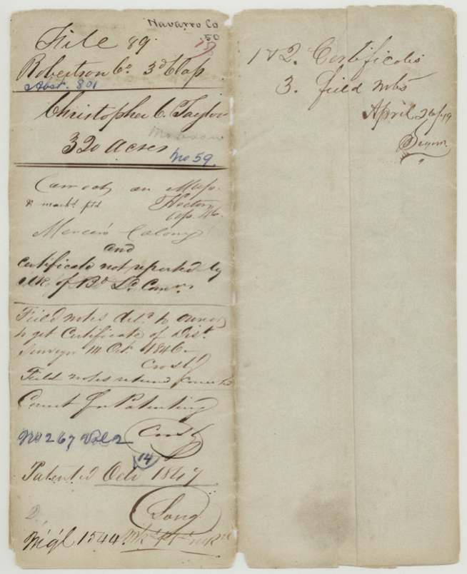
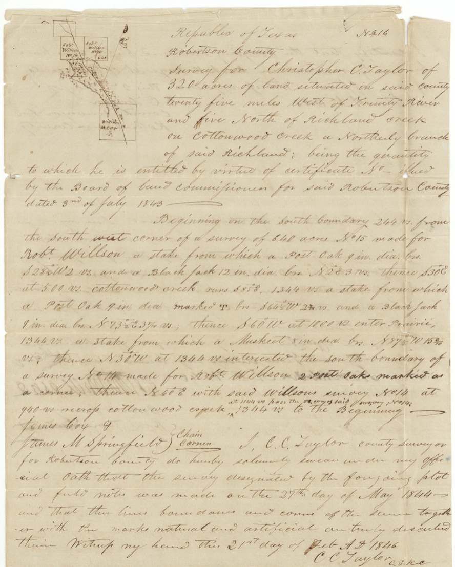
Christopher C. Taylor, a late emigrant, received a conditional third-class headright certificate for 320 acres from the Robertson County Board of Land Commissioners at Franklin on 3 July 1843, made unconditional (No. 59) on 5 August 1844 after he proved three years' citizenship. As county surveyor he surveyed the tract himself on 27 May 1844, on Cottonwood Creek five miles north of Richland Creek, beside two Robert Willson surveys. Because the land fell inside Mercer's Colony, the Land Office sent the notes back in 1846 until district surveyor David R. Mitchell certified the survey predated notice of the Mercer contract. The patent issued to Taylor himself in October 1847 (No. 267, Vol. 2).
The certificate
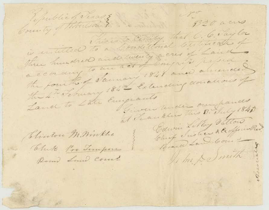
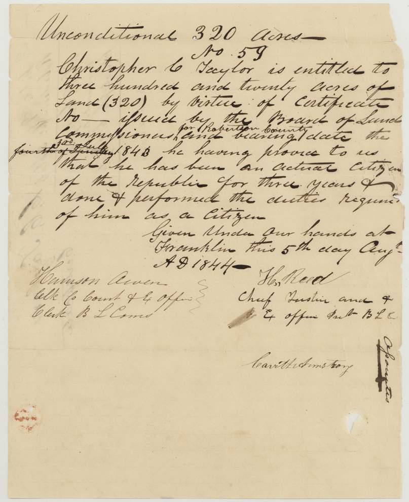
headright 3rd class, No. 59 (unconditional); conditional certificate number left blank, 320 acres, Board of Land Commissioners for Robertson County - conditional: Edwin LeRoy Patton, Chief Justice and ex officio President, and J. M.(?) Smith, Associate, attested by Clinton M. Winkler, Clerk pro tempore; unconditional: H. Reed, Chief Justice and ex officio President, Carroll(?) Armstrong, Associate, attested by Harrison Owen(?), Clerk of County Court and ex officio Clerk B.L.C., Franklin, Robertson County, 1843-07-03 (conditional); 1844-08-05 (unconditional).
Conditional certificate for 320 acres under the Act of Congress of 4 January 1841, amended 4 February 1842, 'extending donations of land to late emigrants'. Unconditional certificate issued on his proof that he had been an actual citizen of the Republic for three years and performed the duties required of a citizen.
The survey
27 May 1844, C. C. Taylor, County Surveyor of Robertson County (the grantee himself).
Robertson County (now Navarro), twenty-five miles west of the Trinity River and five miles north of Richland Creek, on Cottonwood Creek, a northerly branch of Richland
Chain carriers: James Coy(?), James M. Springfield.
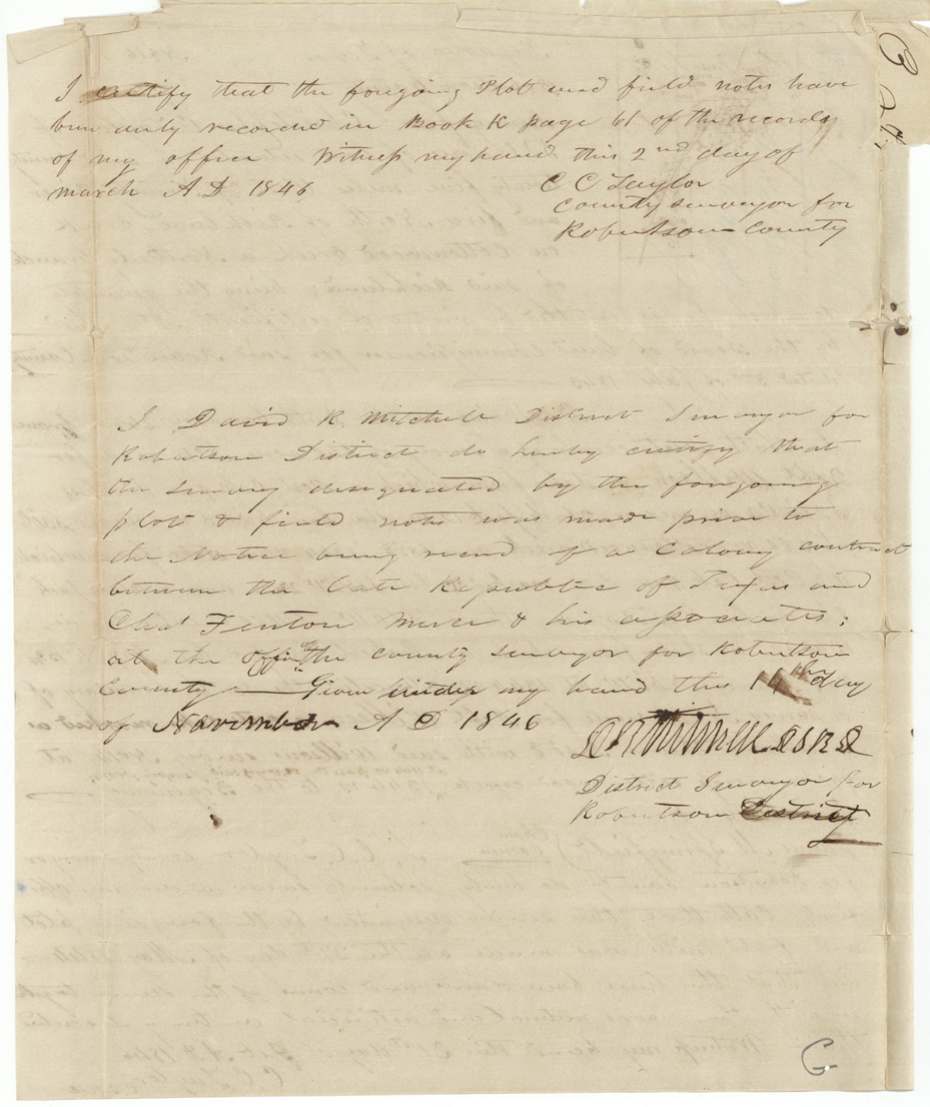
Book K, page 61, Robertson County surveyor's records (certified 2 March 1846)
The patent
1847-10-14(?), No. 267, Vol. 2, to Christopher C. Taylor.
Also in the file
- Christopher C. Taylor was the Robertson County surveyor and surveyed his own headright tract.
- The General Land Office held up the patent because the land lay inside Mercer's Colony and because the Board's clerk had not reported the certificate; Taylor had to get the district surveyor to certify the survey predated notice of the Mercer contract.
- The conditional certificate's number was never filled in.
Timeline
- 3 Jul 1843Robertson County Board issues conditional certificate for 320 acres at Franklin
- 27 May 1844Taylor, as county surveyor, surveys 320 acres on Cottonwood Creek
- 5 Aug 1844Board issues unconditional certificate No. 59
- 21 Feb 1846Taylor signs surveyor's oath
- 2 Mar 1846Field notes recorded in Book K, page 61
- Apr 1846Checked correct on GLO map
- 14 Oct 1846GLO returns field notes to owner to get district surveyor's certificate (Mercer Colony issue)
- 14 Nov 1846District Surveyor David R. Mitchell certifies survey predates Mercer Colony notice
- Oct 1847Patent No. 267, Vol. 2 issued to Taylor
The papers in the file
Every page of the Land Office file, in the order the Land Office keeps them (8 pages). Tap a page to see it larger.
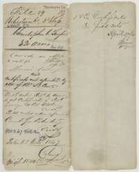 File jacketFile jacket for Christopher C. Taylor's 320 acres on Cottonwood Creek, a Robertson Third Class headright patented in October 1847.General Land Office, file 89, page 1 · in the scan
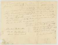 CertificateConditional headright certificate for 320 acres issued to C. C. Taylor by the Robertson County land board at Franklin, 3 July 1843.General Land Office, file 89, page 2 · in the scan
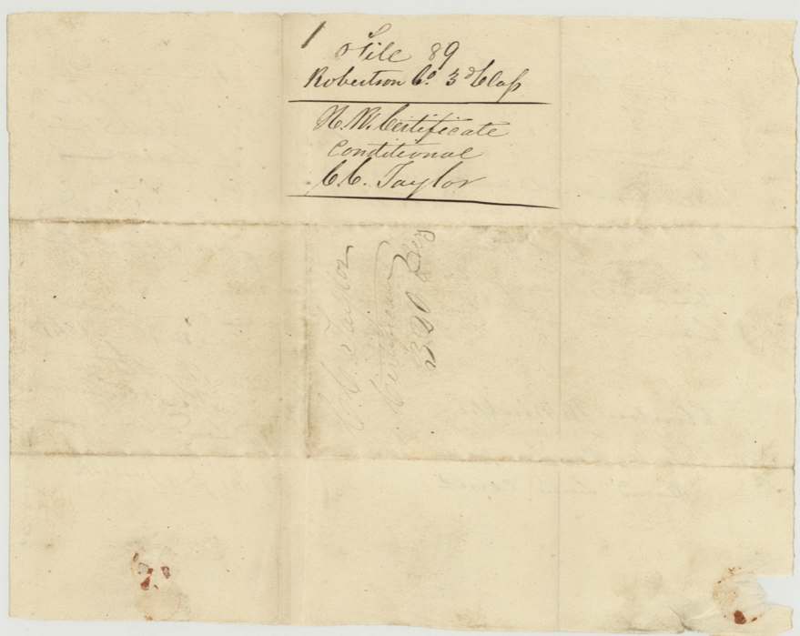
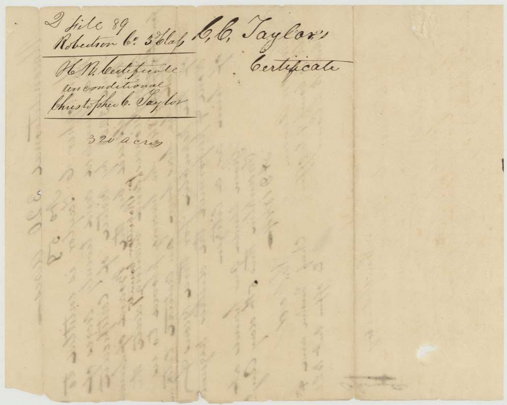
 Back of the certificateBack of the conditional certificate, endorsed with the file number and the name of Christopher C. Taylor.General Land Office, file 89, page 3 · in the scan
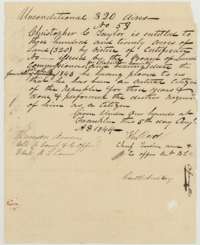 CertificateUnconditional certificate No. 59 for 320 acres issued to Christopher C. Taylor at Franklin on 5 August 1844, after proof of three years' citizenship.General Land Office, file 89, page 4 · in the scan
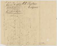 Back of the certificateBack of the unconditional certificate, endorsed with the file number and the name of Christopher C. Taylor.General Land Office, file 89, page 5 · in the scan
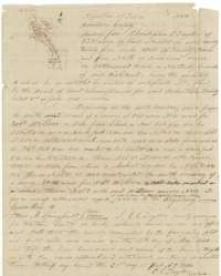 Field notesField notes and plat of Survey No. 16, 320 acres on Cottonwood Creek, surveyed 27 May 1844 for Christopher C. Taylor by county surveyor C. C. Taylor.General Land Office, file 89, page 6 · in the scan
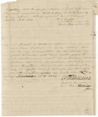 Surveyor's certificateCounty surveyor's certificate of 2 March 1846 that the notes were recorded in Book K, and district surveyor David R. Mitchell's certificate of 14 November 1846.General Land Office, file 89, page 7 · in the scan
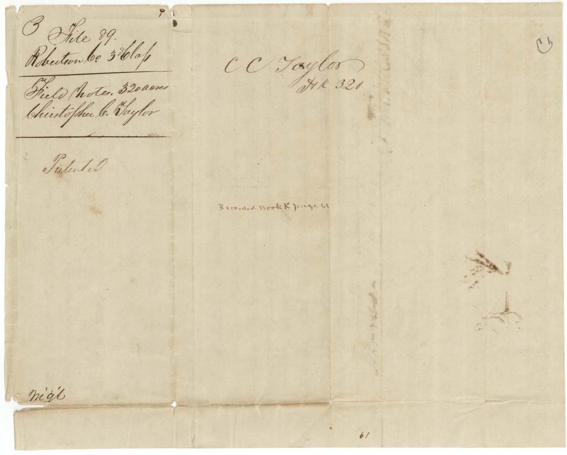
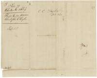 WrapperField-notes wrapper for Christopher C. Taylor's 320 acres, marked patented, with the Book K, page 61 record.General Land Office, file 89, page 8 · in the scan
Scans courtesy of the Texas General Land Office, Austin, from its Land Grant Database.
Neighbouring surveys
Sources
- Texas General Land Office, Land Grant Database: Navarro County, Abstract 801
- The Land Office file, scanned (PDF, at the General Land Office)
- 1924 map: courtesy of the Texas General Land Office, Austin, Map 73249, used under licence. Topo: U.S. Geological Survey, The National Map. Aerial photographs: U.S. Department of Agriculture, National Agriculture Imagery Program, 2012, 2018 and 2022. Survey outlines: Railroad Commission of Texas, Original Texas Land Survey. Grant records and files: Texas General Land Office.