Blackland TX · ← All the original surveys
George M. Broadwell Survey, Abstract 84
- Granted to
- George M. Broadwell
- Kind of grant
- Headright, third classLand for later settlers, including the colonists of Mercer’s Colony.
- Land Office file
- Robertson 3rd class, file 112
- Acres
- 320
- Patented to
- C. C. Taylor
- Patent
- 15 Nov 1848 · No. 841, Vol. 4
Tap a survey to open its page.
What the file shows
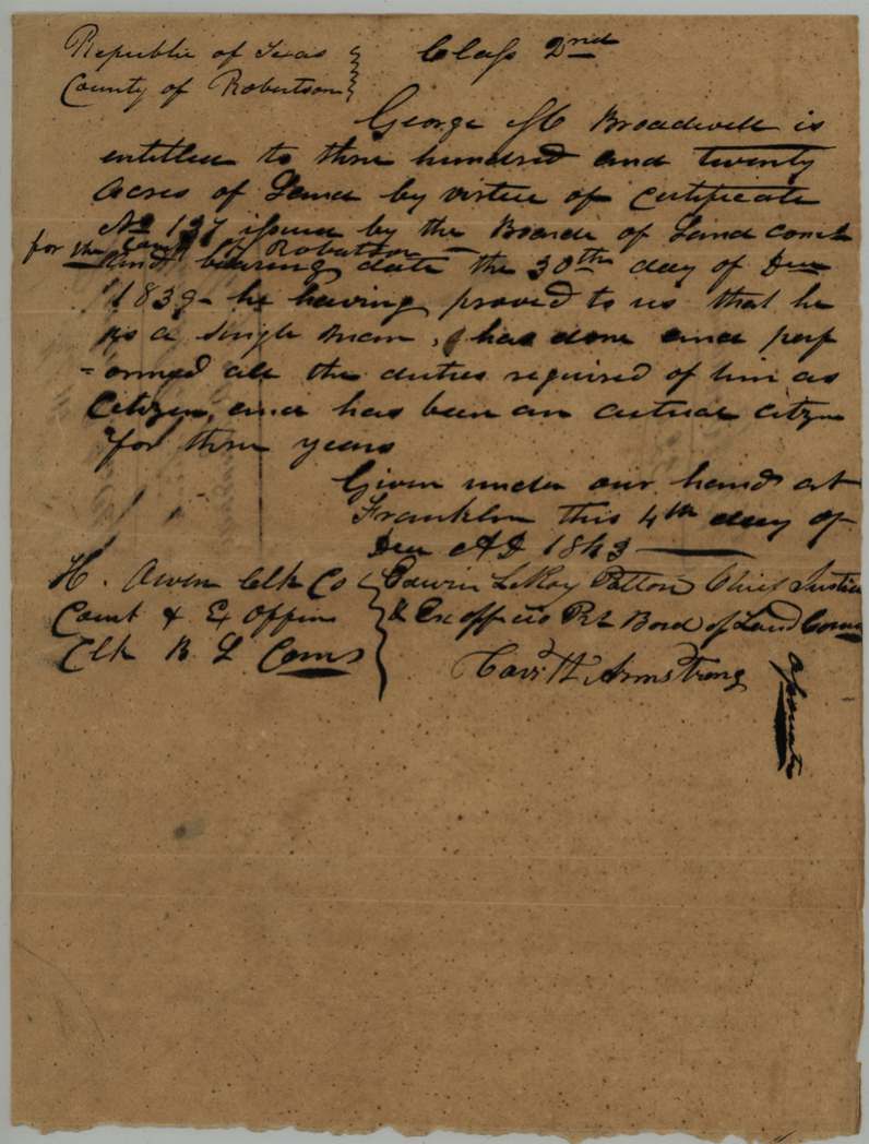
George M. Broadwell, a single man and three-year citizen, received an unconditional 320-acre headright from the Robertson County land board at Franklin on 4 December 1843, based on conditional certificate No. 137 of 30 December 1839. County surveyor C. C. Taylor located it on 26 May 1844 on Cottonwood Creek, a north branch of Richland Creek, right beside his own 320-acre survey, and swore it was made before news of the Mercer colony contract arrived. In March 1846 Broadwell sold the certificate to Taylor for $100, and in 1847 swore he had burned his old conditional certificate. The patent issued to C. C. Taylor as assignee on 15 November 1848 (No. 841, Vol. 4).
The certificate
headright (written 'Class 2nd' on the certificate; filed by the GLO as 3rd class) -- unconditional certificate on conditional No. 137, No. 137 (conditional), 320 acres, Board of Land Commissioners for Robertson County: Edwin LeRoy Patton, Chief Justice and ex officio President; Cav. H. Armstrong, Associate(?); attest H. Owen, Clerk County Court and ex officio Clerk Board of Land Commissioners, Franklin, Robertson County, 1843-12-04 (unconditional); conditional certificate No. 137 dated 30 Dec 1839.
Broadwell proved he is a single man, has done and performed all the duties required of a citizen, and has been an actual citizen for three years -- 320 acres (single man's share).
Changes of hand
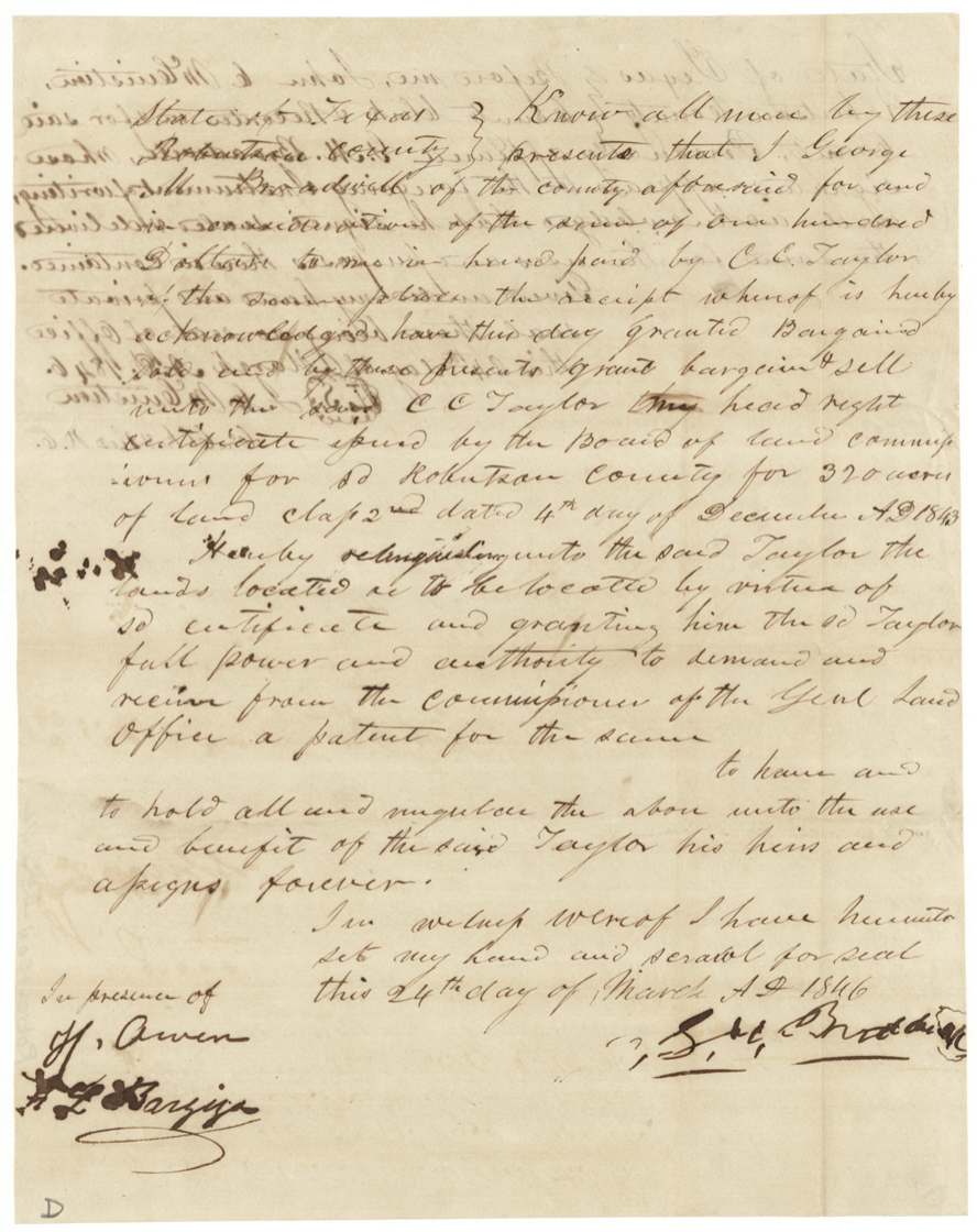
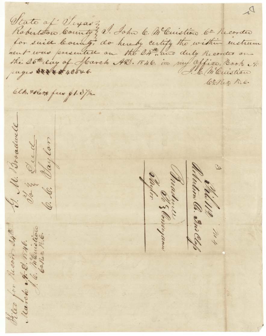
- 24 Mar 1846George M. Broadwell, of Robertson County → C. C. Taylor, $100, Robertson County. Sells the 320-acre second-class headright certificate dated 4 Dec 1843 and relinquishes the lands located or to be located under it, with power to demand the patent. Recorded Robertson County Book A pages 425-6, 25 Mar 1846; fee $1.37 1/2.
The survey
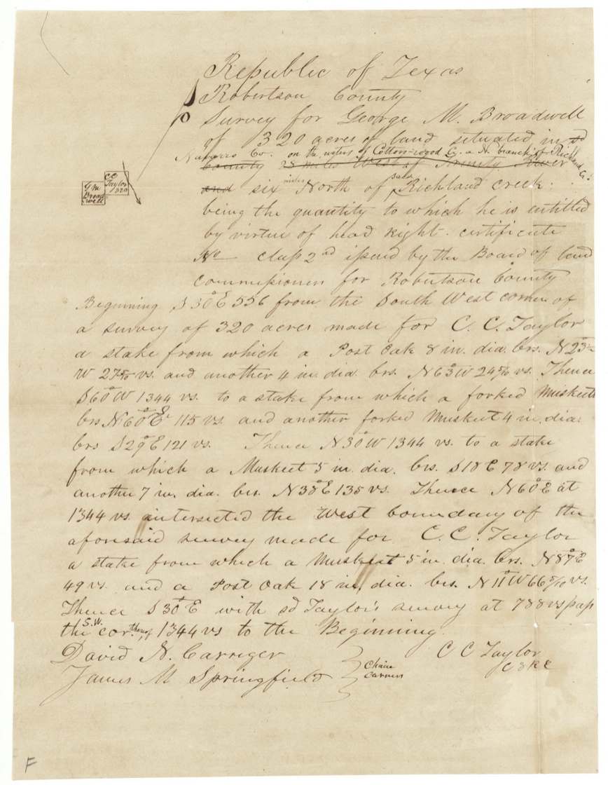
1844-05-26 (certified 2 Oct 1844), C. C. Taylor, County Surveyor for Robertson County (signed 'C. C. Taylor, C.S.R.C.').
Navarro Co. (inserted), on the waters of Cottonwood Creek, a north branch of Richland Creek, six miles north of Richland Creek ('25 miles west of Trinity River' struck out); adjoins the west side of C. C. Taylor's 320-acre survey
Chain carriers: David N. Carriger(?), James M. Springfield.
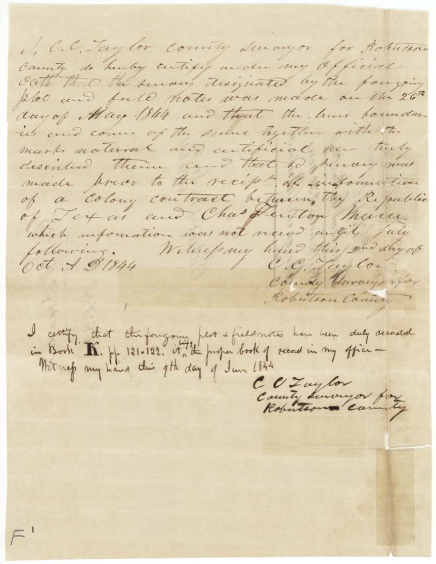
Book K, pages 121-122, 9 June 1844
The patent
15 Nov 1848, No. 841, Vol. 4, to C. C. Taylor, assignee, delivered to H. L. Bazzigo(?), Nov 15/48.
Also in the file
- The surveyor, C. C. Taylor, surveyed the land next to his own 320-acre survey and later bought the certificate himself and took the patent.
- Taylor had to swear the survey was made before word of the Mercer colony contract arrived (July 1844), because the colony grant covered this area and would have blocked new locations.
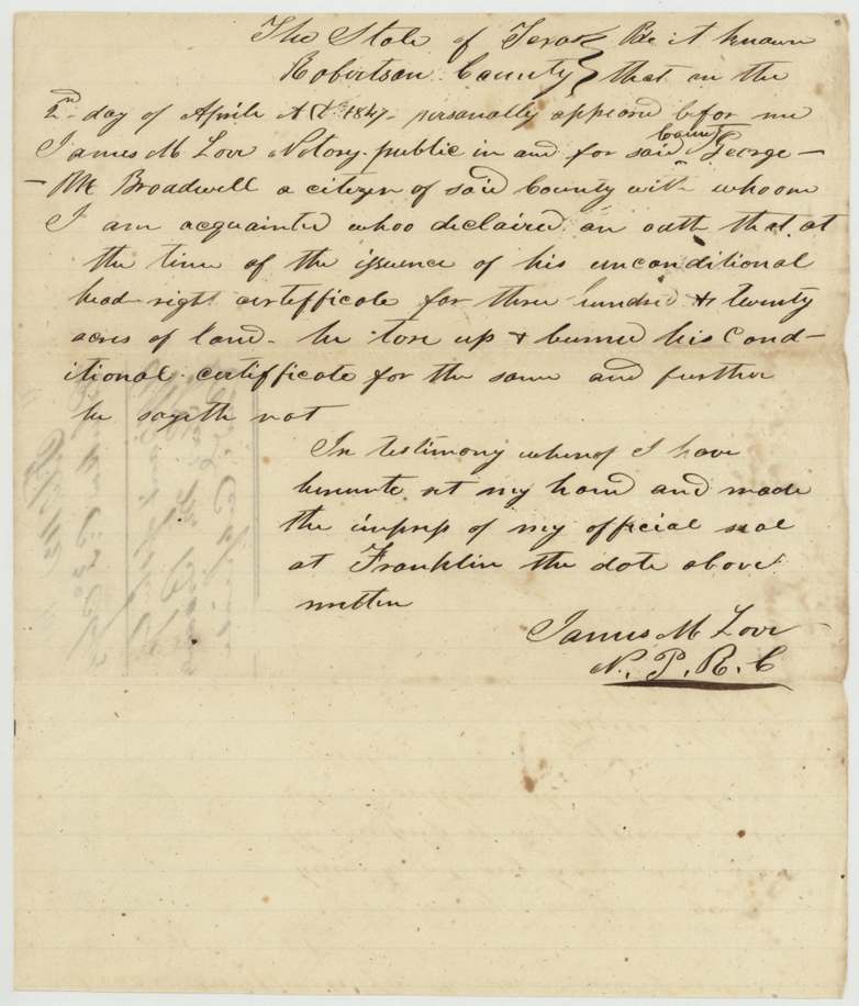
- Broadwell tore up and burned his conditional certificate, so he had to swear to its destruction before the patent could issue.
- The certificate says 'Class 2nd' but the land office filed it as third class.
- The field notes first said the land lay 25 miles west of the Trinity River; this was struck out and 'Navarro Co., on Cottonwood Creek' written in.
Timeline
- 30 Dec 1839Robertson County land board issues conditional certificate No. 137 to George M. Broadwell
- 4 Dec 1843Board at Franklin issues unconditional certificate for 320 acres; Broadwell a single man, three years a citizen
- 26 May 1844County surveyor C. C. Taylor surveys 320 acres on Cottonwood Creek adjoining his own survey
- 9 Jun 1844Field notes recorded, Book K pp. 121-122
- 2 Oct 1844Taylor swears the survey predates news of the Mercer colony contract
- 24 Mar 1846Broadwell sells the certificate to C. C. Taylor for $100
- 2 Apr 1847Broadwell swears he burned his conditional certificate
- 15 Nov 1848Patent No. 841 Vol. 4 issued to C. C. Taylor, assignee, and delivered
The papers in the file
Every page of the Land Office file, in the order the Land Office keeps them (11 pages). Tap a page to see it larger.
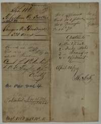 File jacketFile jacket for George M. Broadwell's 320-acre headright, listing the certificate, field notes, transfer and affidavit, with the patent entry of 15 November 1848.General Land Office, file 112, page 1 · in the scan
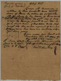 CertificateUnconditional headright certificate for 320 acres issued to George M. Broadwell by the Robertson County Board of Land Commissioners at Franklin, 4 December 1843.General Land Office, file 112, page 2 · in the scan
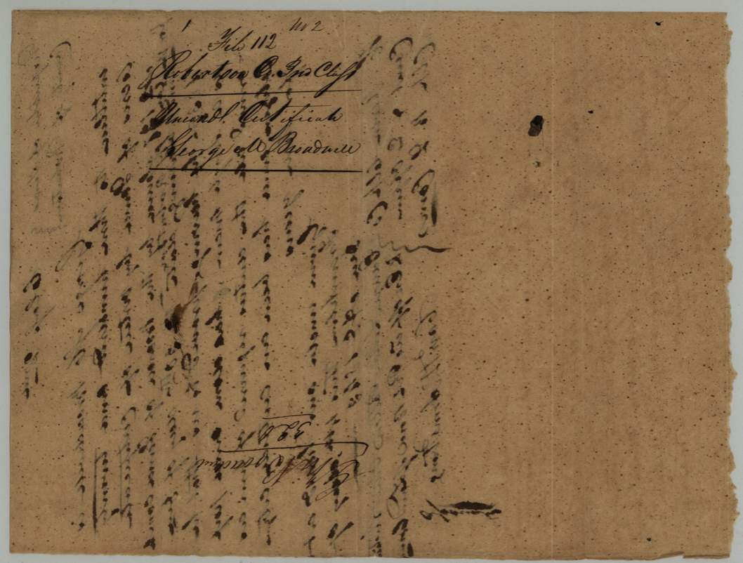
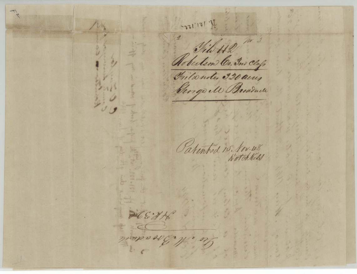
 Back of the certificateJacket for the certificate, marked with George M. Broadwell's name and 320 acres.General Land Office, file 112, page 3 · in the scan
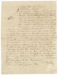 Field notesField notes and plat for 320 acres on Cottonwood Creek, surveyed for George M. Broadwell by county surveyor C. C. Taylor, 26 May 1844.General Land Office, file 112, page 4 · in the scan
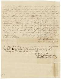 Surveyor's certificateSurveyor C. C. Taylor's oath of 2 October 1844 about the timing of the survey, with his certificate that the field notes were recorded in Book K, 9 June 1844.General Land Office, file 112, page 5 · in the scan
 WrapperWrapper for the Broadwell field notes of 320 acres, marked as patented on 15 November 1848.General Land Office, file 112, page 6 · in the scan
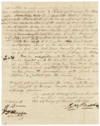 TransferDeed of 24 March 1846 in which George M. Broadwell sells his 320-acre headright certificate to C. C. Taylor for $100.General Land Office, file 112, page 7 · in the scan
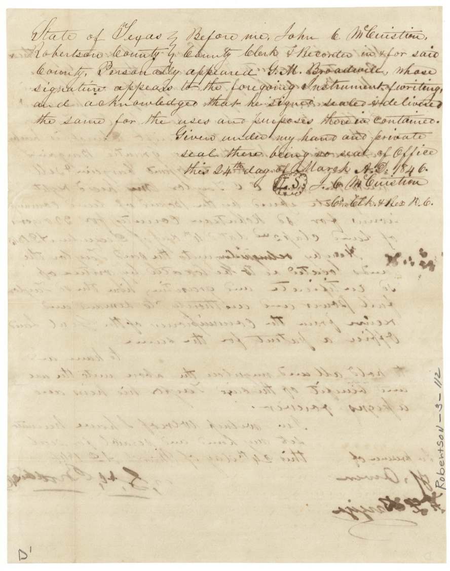
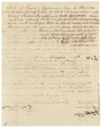 TransferAcknowledgment of the Broadwell deed taken before the Robertson County clerk, 24 March 1846.General Land Office, file 112, page 8 · in the scan
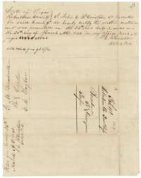 TransferRecording certificate for the Broadwell to Taylor deed, Robertson County Book A, 25 March 1846, with the endorsement on its back.General Land Office, file 112, page 9 · in the scan
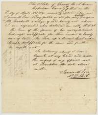 AffidavitAffidavit of 2 April 1847 in which George M. Broadwell swears before a notary at Franklin that he burned his conditional certificate.General Land Office, file 112, page 10 · in the scan
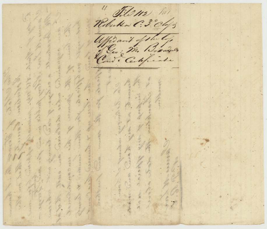
 AffidavitJacket for George M. Broadwell's affidavit about his conditional certificate.General Land Office, file 112, page 11 · in the scan
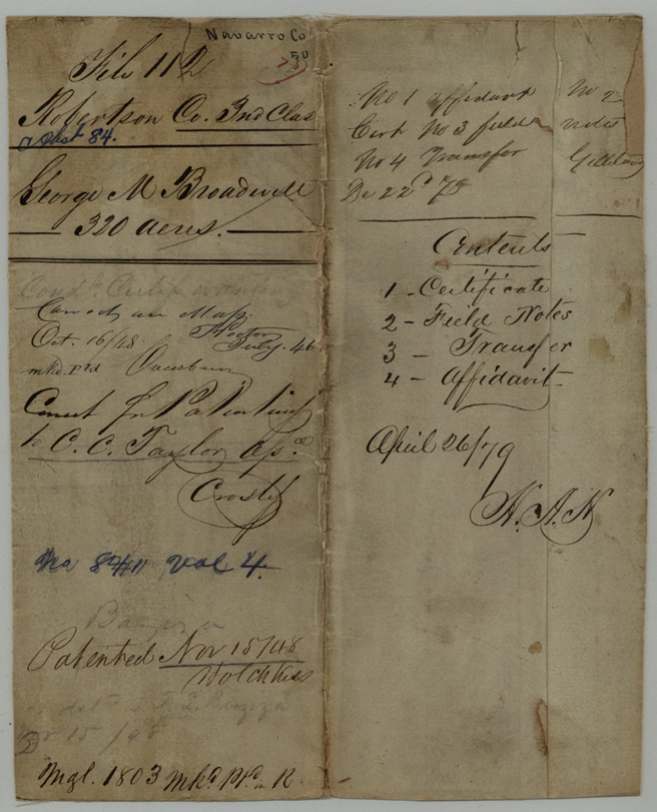
Scans courtesy of the Texas General Land Office, Austin, from its Land Grant Database.
Neighbouring surveys
Sources
- Texas General Land Office, Land Grant Database: Navarro County, Abstract 84
- The Land Office file, scanned (PDF, at the General Land Office)
- 1924 map: courtesy of the Texas General Land Office, Austin, Map 73249, used under licence. Topo: U.S. Geological Survey, The National Map. Aerial photographs: U.S. Department of Agriculture, National Agriculture Imagery Program, 2012, 2018 and 2022. Survey outlines: Railroad Commission of Texas, Original Texas Land Survey. Grant records and files: Texas General Land Office.