Blackland TX · ← All the original surveys
D. L. Colson Survey, Abstract 911
- Granted to
- D. L. Colson
- Kind of grant
- Land scripLand bought from the Republic with scrip.
- Land Office file
- Robertson Scrip, file 2220
- Acres
- 16.95
- Patent
- Not patented in the Land Office index
Tap a survey to open its page.
What the file shows
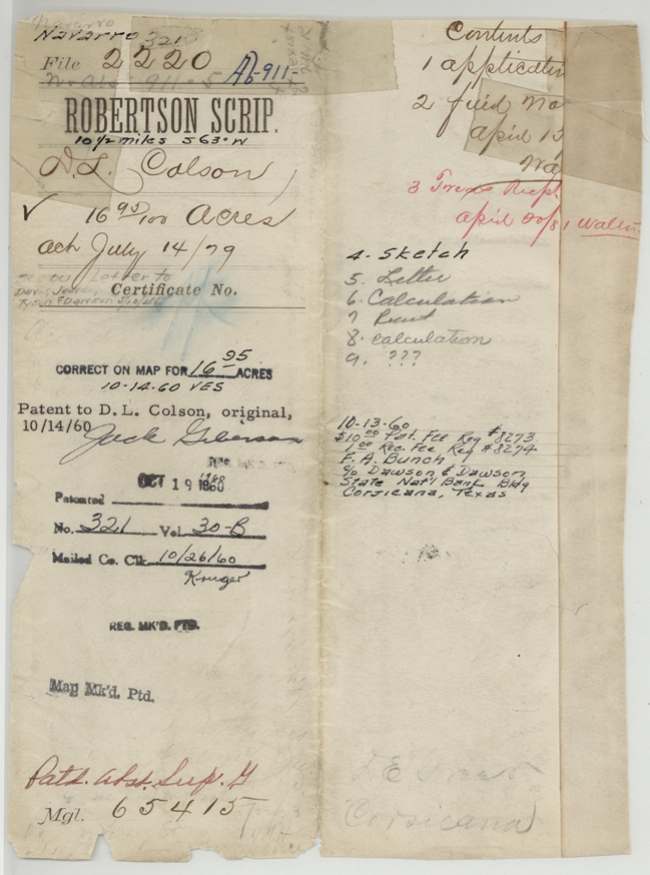
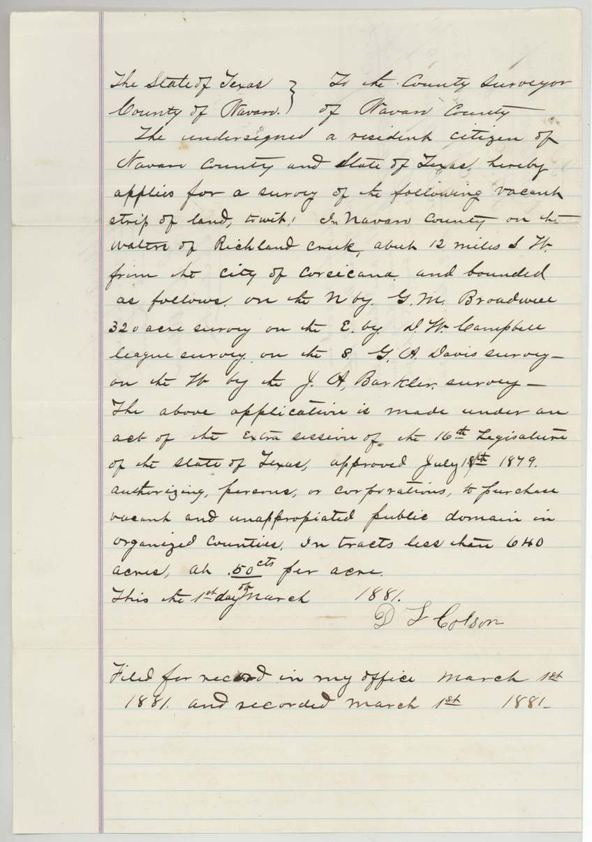
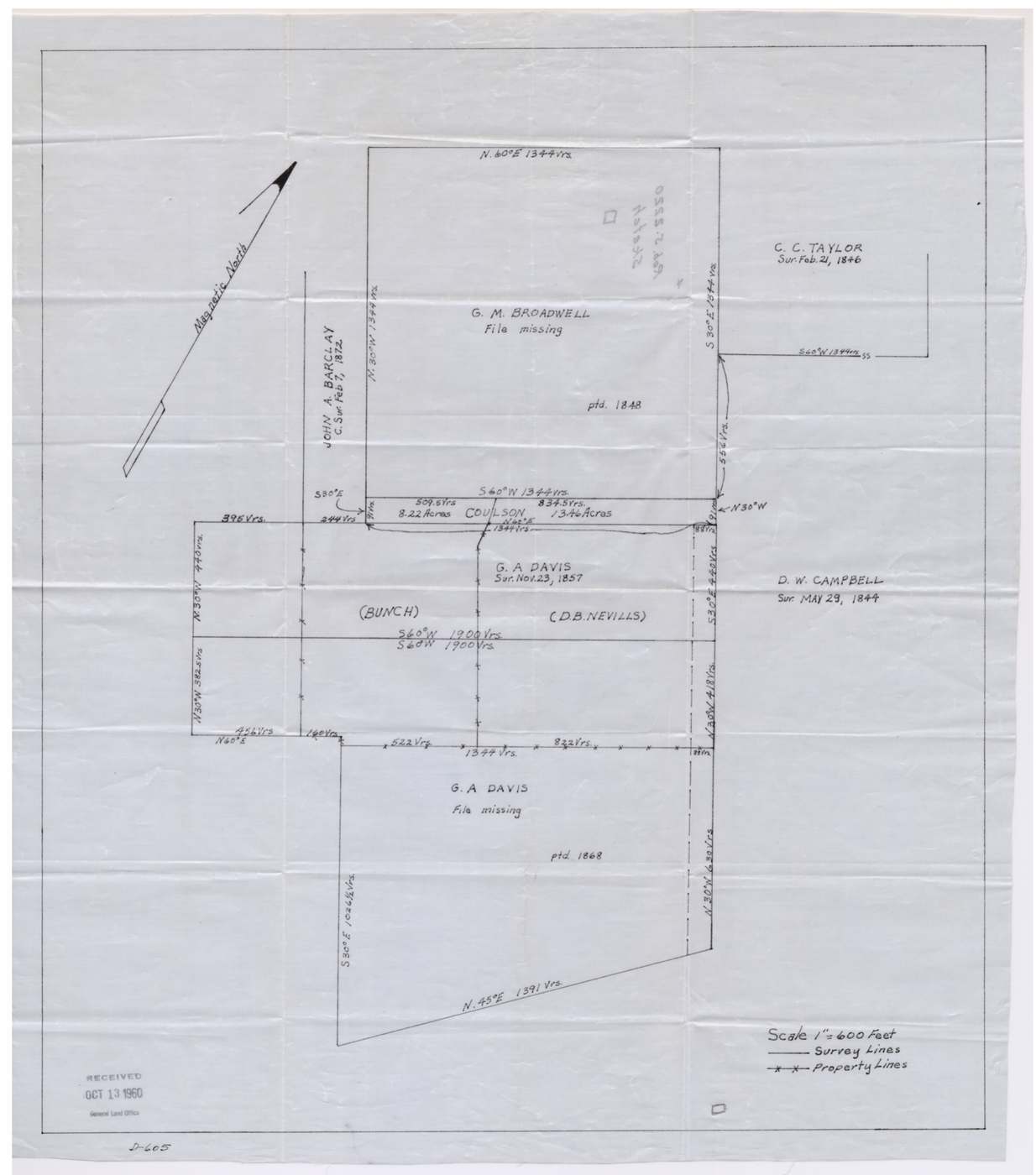
On 1 March 1881 D. L. Colson, a Navarro County resident, applied under the 1879 act to buy a vacant strip on the waters of Richland Creek about 10½ miles southwest of Corsicana, at 50 cents an acre. County Surveyor D. E. Greer surveyed it that day as 16.95 acres, a narrow sliver lying between the G. M. Broadwell and G. A. Davis surveys and bounded by the J. A. Barclay and D. W. Campbell surveys. Colson paid $8.50 at the State Treasury on 20 April 1881 and the papers were filed in the land office, but no patent followed for decades. After a 1946 review found overlaps with the neighbouring surveys and a bearing was corrected, the patent finally issued in October 1960 to D. L. Colson as original grantee.
The certificate
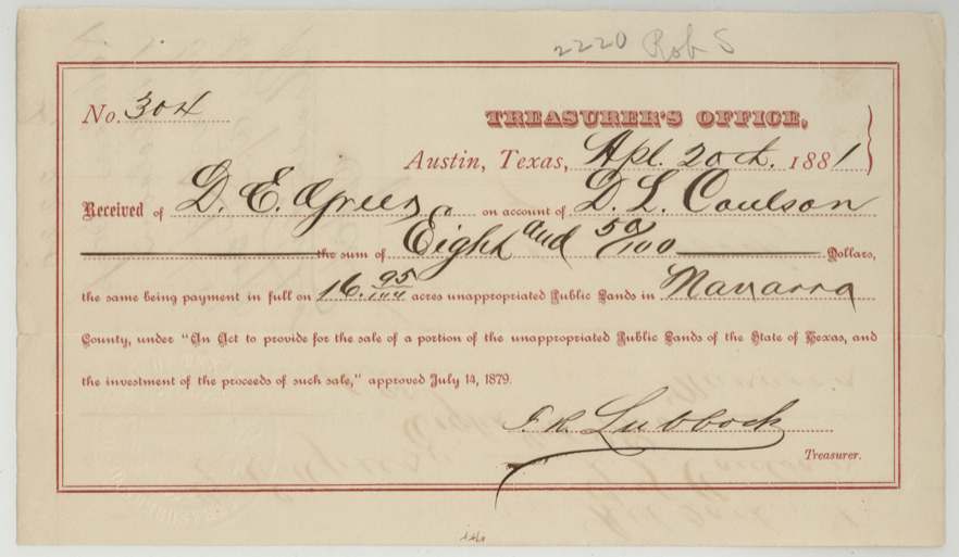
other (purchase of vacant public land under the 1879 sale act; no certificate), No. Treasurer's receipt No. 304, 16.95, Purchase by application to the Navarro County Surveyor; paid at the State Treasurer's Office, Austin (receipt signed F. R. Lubbock, Treasurer), Navarro County / Austin, Application 1881-03-01; payment 1881-04-20.
Act of the extra session of the 16th Legislature approved July 1879 authorising persons or corporations to buy vacant and unappropriated public domain in organised counties in tracts under 640 acres at 50 cents an acre. Colson, 'a resident citizen of Navarro County', applied for a vacant strip.
The survey
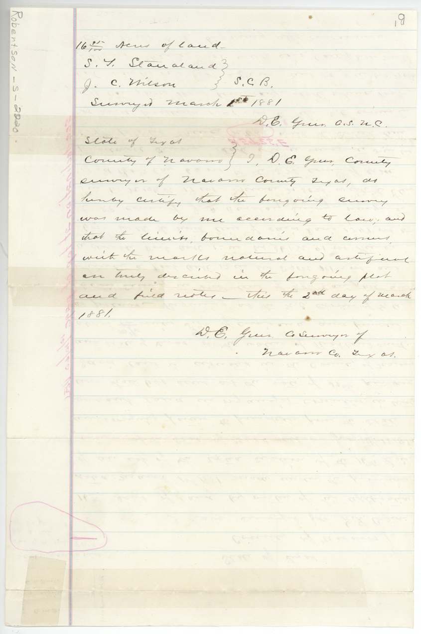
1881-03-01 (certified 1881-03-02), D. E. Greer, County Surveyor, Navarro County.
Navarro County on the waters of Richland Creek, about 10½ miles S 63 W of Corsicana (application said about 12 miles SW)
Chain carriers: S. T. Standland(?), J. C. Wilson.
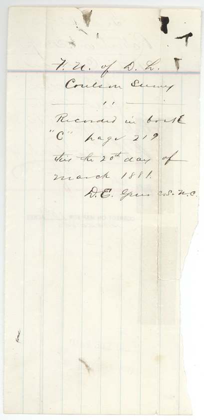
Navarro County Book C, page 219, 20 March 1881
The patent
1960-10-19 (stamped 'Oct 19 1960'; wrapper 'Patent to D. L. Colson, original, 10/14/60'), No. 321, Vol. 30-B, to D. L. Colson, original grantee, delivered to Mailed to Navarro County Clerk 10/26/60 for recording, then to the agent who paid the fees (named in story_leads).
Also in the file
- Colson bought the strip in 1881 for $8.50 but the patent did not issue until 1960, 79 years later, still in his name as original grantee.
- The tract is a sliver of leftover vacant land — about 64 to 78 varas wide — squeezed between two older surveys, the kind of gap the 1879 sale act was meant to sell off.
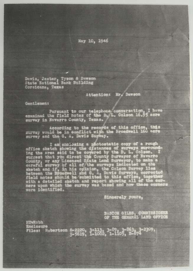
- A 1946 land office review found the Colson field notes conflicted with the Broadwell and G. A. Davis surveys; the 1960 office sketch shows the Broadwell and the northern Davis files as 'file missing'.
- The name is spelled Colson, Coulson and Cowson in different papers.
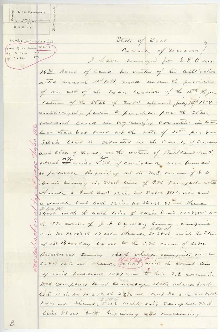
- The office corrected one bearing (N 60 E to N 59°25' E) before patenting.
Timeline
- 14 Jul 1879Act approved allowing purchase of small vacant tracts at 50 cents an acre
- 1 Mar 1881D. L. Colson applies to buy a vacant strip on Richland Creek; D. E. Greer surveys 16.95 acres
- 2 Mar 1881Survey certified
- 20 Mar 1881Field notes recorded, Navarro County Book C p. 219
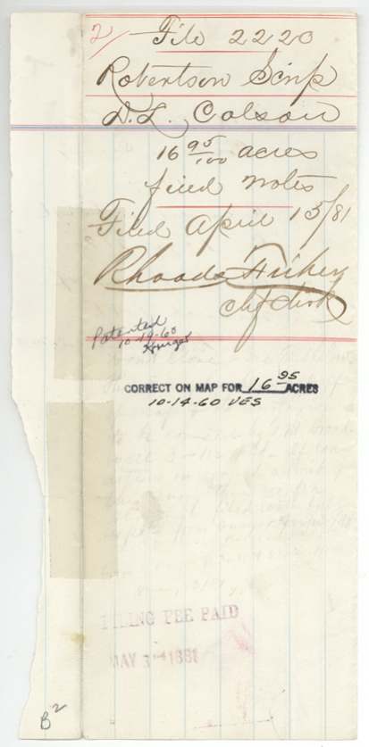
- 15 Apr 1881Application and field notes filed in the General Land Office
- 20 Apr 1881$8.50 paid at the State Treasury (receipt No. 304)
- 3 May 1881Filing fee paid
- 10 May 1946Land office review finds conflict with Broadwell and G. A. Davis surveys
- 14 Oct 1960Checked correct on map for 16.95 acres
- 19 Oct 1960Patent No. 321 Vol. 30-B issued to D. L. Colson, original grantee
- 26 Oct 1960Patent mailed to Navarro County Clerk for recording
The papers in the file
Every page of the Land Office file, in the order the Land Office keeps them (21 pages). Tap a page to see it larger.
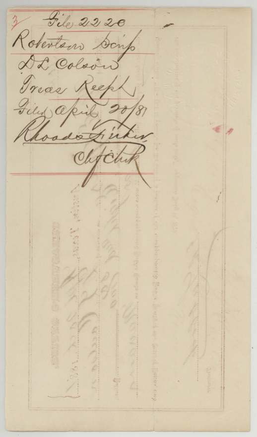
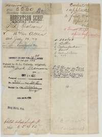 File jacketFile jacket for the Robertson Scrip file of D. L. Colson, 16.95 acres in Navarro County, listing the application, field notes, receipt and later papers.General Land Office, file 2220, page 1 · in the scan
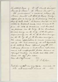 Other papersApplication of D. L. Colson, a Navarro County resident, to buy a strip of vacant land on Richland Creek under the 1879 sale act, dated 1 March 1881.General Land Office, file 2220, page 2 · in the scan
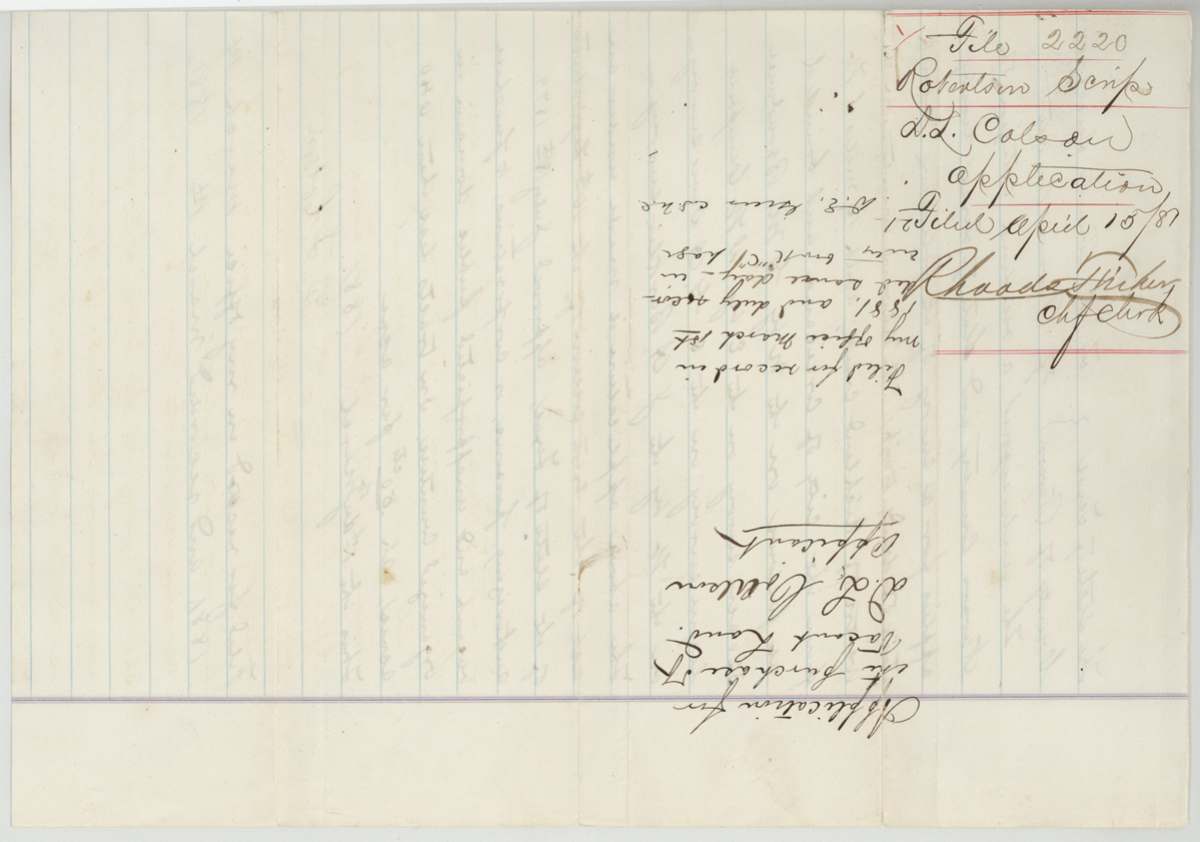
 Other papersFiling back of the application, marked as filed in the General Land Office on 15 April 1881 by Chief Clerk Rhoads Fisher.General Land Office, file 2220, page 3 · in the scan
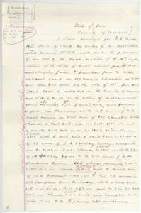 Field notesFirst page of field notes for 16.95 acres on Richland Creek, surveyed for D. L. Colson by county surveyor D. E. Greer under his application of 1 March 1881.General Land Office, file 2220, page 4 · in the scan
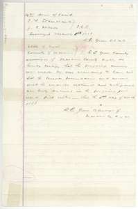 Surveyor's certificateClose of the field notes with the chain carriers' names and D. E. Greer's certificate that the survey was made according to law, dated 2 March 1881.General Land Office, file 2220, page 5 · in the scan
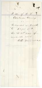 WrapperSurveyor's filing note recording the Colson field notes in Navarro County Book C, page 219, on 20 March 1881.General Land Office, file 2220, page 6 · in the scan
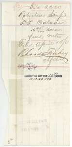 WrapperFiling note for the Colson field notes, received at the Land Office 15 April 1881 and marked correct on the map for 16.95 acres.General Land Office, file 2220, page 7 · in the scan
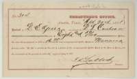 ReceiptState Treasurer's receipt No. 304, Austin, 20 April 1881, for $8.50 paid in full for 16.95 acres in Navarro County.General Land Office, file 2220, page 8 · in the scan
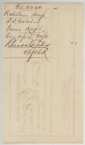 WrapperFiling note for the Treasurer's receipt of D. L. Colson, received at the Land Office 20 April 1881.General Land Office, file 2220, page 9 · in the scan
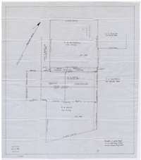 MapOffice sketch map showing the Colson strip between the Broadwell and G. A. Davis surveys, with the Barclay, Campbell and Taylor surveys around it.General Land Office, file 2220, page 10 · in the scan
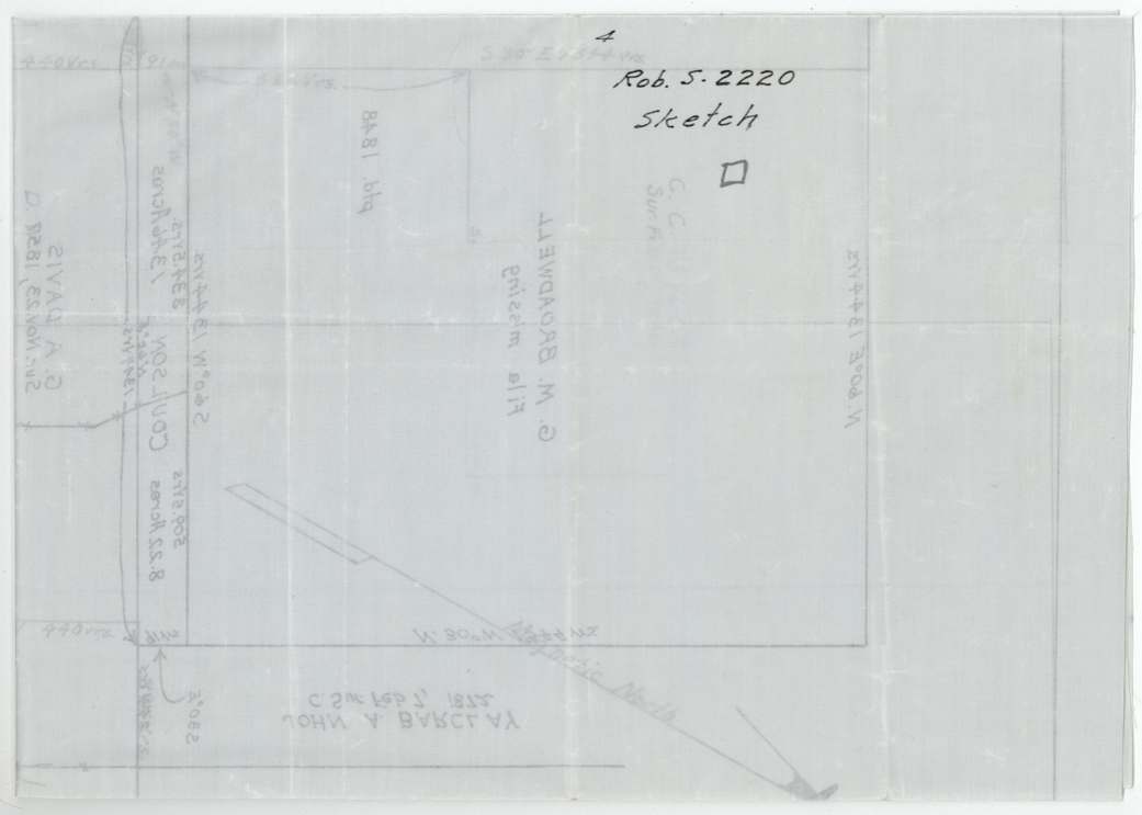
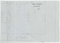 MapFaint pencil sketch of the neighboring surveys, filed with the Colson papers.General Land Office, file 2220, page 11 · in the scan
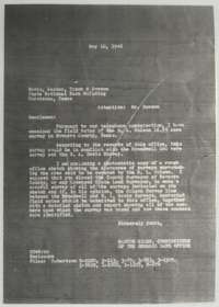 LetterTyped Land Office letter of 10 May 1946 to a Corsicana law firm about the Colson survey and its conflict with neighboring surveys.General Land Office, file 2220, page 12 · in the scan
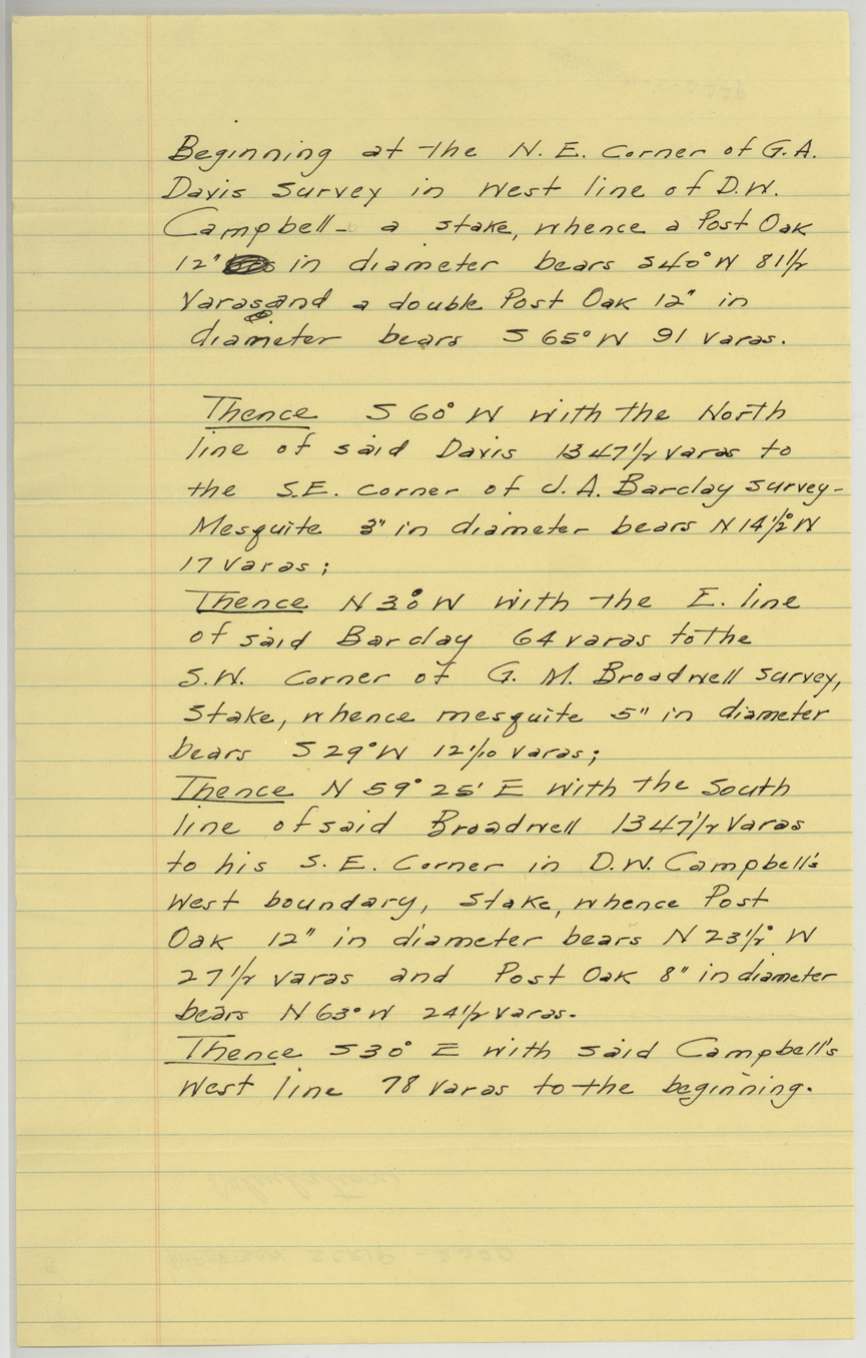
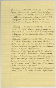 Field notesTyped copy of the Colson field notes, beginning at the corner of the G. A. Davis survey in the west line of the D. W. Campbell survey.General Land Office, file 2220, page 14 · in the scan
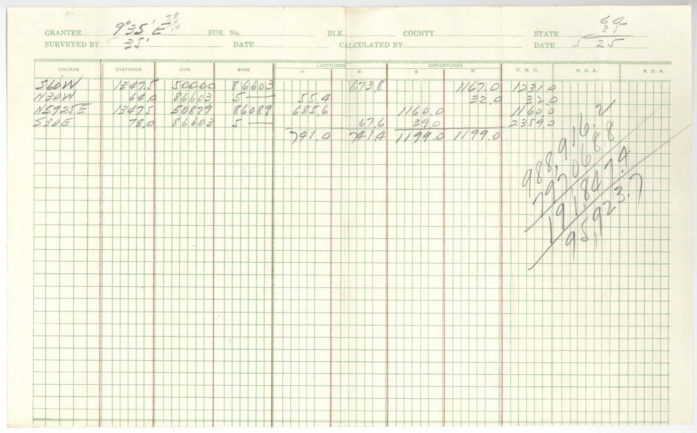
 Other papersHeading page of a calculation for the Colson survey, with handwritten figures.General Land Office, file 2220, page 15 · in the scan
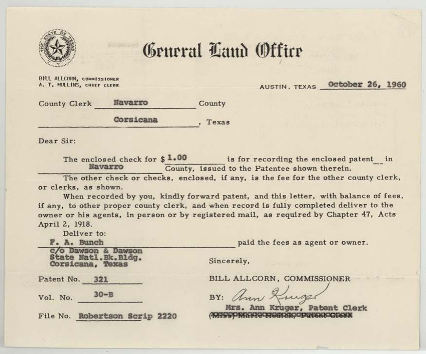
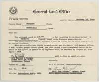 LetterGeneral Land Office letter of 26 October 1960 sending the patent to the Navarro County Clerk at Corsicana for recording.General Land Office, file 2220, page 16 · in the scan
 Other papersCarbon copy of a Land Office form letter on the recording of the patent for the Colson survey.General Land Office, file 2220, page 17 · in the scan
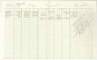 Other papersArea calculation sheet on ruled ledger paper for the Colson survey.General Land Office, file 2220, page 18 · in the scan
 Other papersLarge folded sheet headed as a calculation for the Colson survey.General Land Office, file 2220, page 19 · in the scan
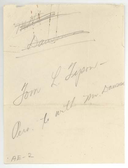
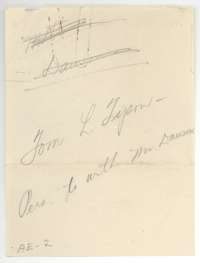 Other papersPencil notes on a small slip about the Colson survey.General Land Office, file 2220, page 20 · in the scan
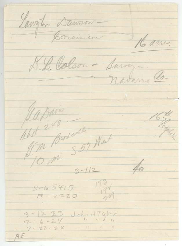
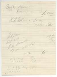 Other papersHandwritten notes naming the Colson survey in Navarro County and neighboring surveys.General Land Office, file 2220, page 22 · in the scan
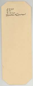 WrapperSmall file tag marked with the file number 2220 and the date 12 September 1960.General Land Office, file 2220, page 24 · in the scan
Scans courtesy of the Texas General Land Office, Austin, from its Land Grant Database.
Neighbouring surveys
Sources
- Texas General Land Office, Land Grant Database: Navarro County, Abstract 911
- The Land Office file, scanned (PDF, at the General Land Office)
- 1924 map: courtesy of the Texas General Land Office, Austin, Map 73249, used under licence. Topo: U.S. Geological Survey, The National Map. Aerial photographs: U.S. Department of Agriculture, National Agriculture Imagery Program, 2012, 2018 and 2022. Survey outlines: Railroad Commission of Texas, Original Texas Land Survey. Grant records and files: Texas General Land Office.