Blackland TX · ← All the original surveys
Harvey White Survey, Abstract 845
- Granted to
- Harvey White
- Kind of grant
- Headright, third classLand for later settlers, including the colonists of Mercer’s Colony.
- Land Office file
- Robertson 3rd class, file 2309
- Certificate
- No. 12
- Acres
- 160
- Patented to
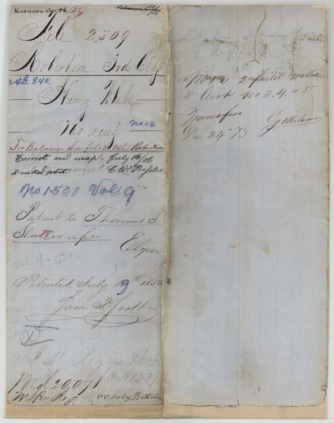
- Thomas S. Slater
- Patent
- 19 Jul 1856 · No. 1501, Vol. 9
Tap a survey to open its page.
What the file shows
Harvey White proved his citizenship in Mercer's colony before the Navarro County District Court and received certificate No. 12 for 320 acres on 7 June 1854. Two days later he sold it to Alexander Beaton for $100; Beaton sold it to district clerk James M. Riggs in October 1854, and Riggs sold half (160 acres) to Thomas S. Slater on 25 June 1855. Deputy surveyor Wm. L. Browning had already laid off 160 acres in White's name on Rush Creek, about 10 1/2 miles southwest of Corsicana, in January 1855. The patent (No. 1501, Vol. 9) issued to Thomas S. Slater in July 1856.
The certificate
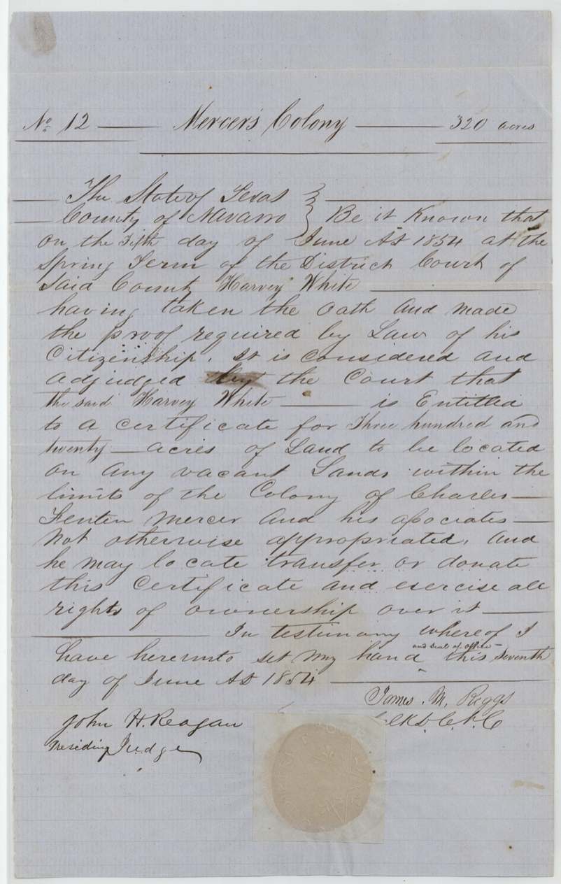
No. 12, 320 acres, District Court of Navarro County, Spring Term (James M. Riggs, Clerk D.C.N.C.; John H. Reagan, Presiding Judge), Navarro County (Corsicana), 7 Jun 1854.
Mercer Colony certificate: on 5 June 1854 Harvey White took the oath and made the proof required by law of his citizenship (in Mercer's colony); entitled to 320 acres of vacant land within the colony of Charles Fenton Mercer and associates, which he may locate, transfer or donate
Changes of hand
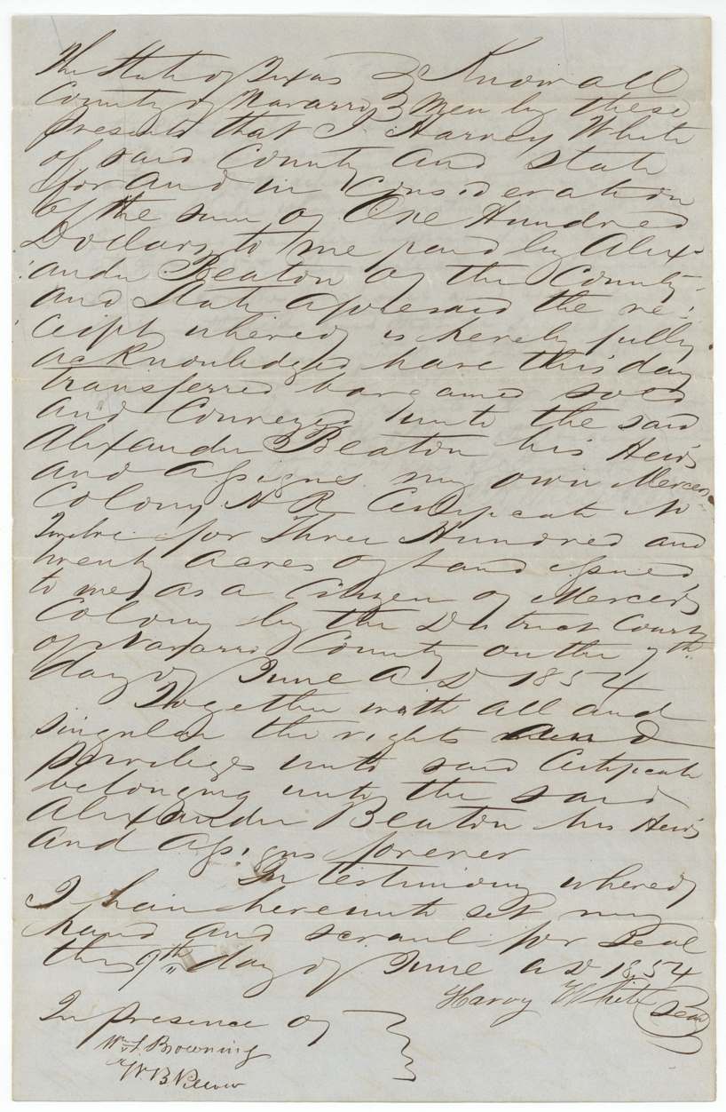
- 9 Jun 1854Harvey White → Alexander Beaton, $100, Navarro County. Whole 320-acre certificate. The clerk's proof gives the transfer date as 9 June 1855, the deed itself 9 June 1854.
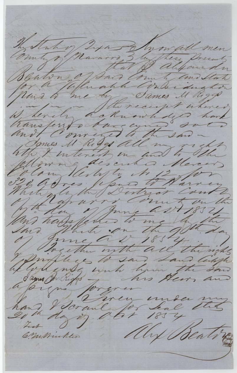
- 20 Oct 1854Alexander Beaton → James M. Riggs, a valuable consideration, Navarro County. Whole certificate No. 12
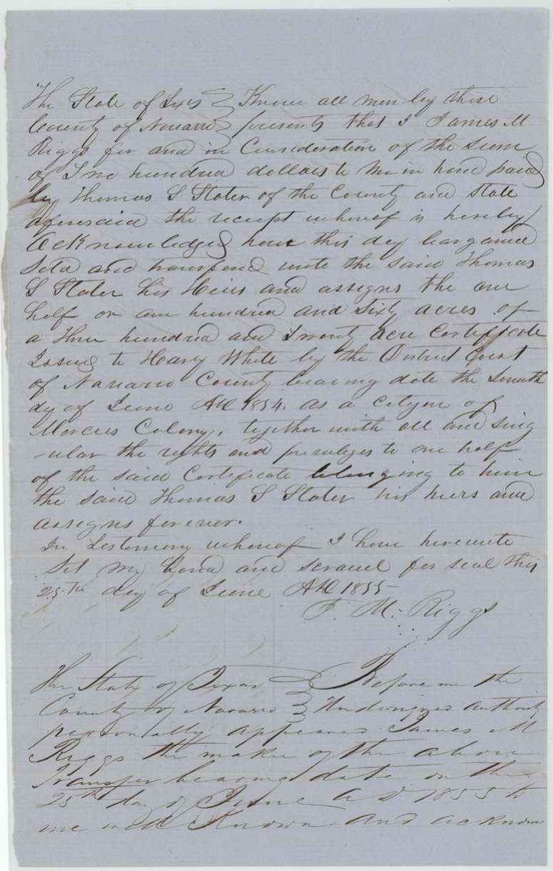
- 25 Jun 1855James M. Riggs → Thomas S. Slater, $100, Navarro County. One half (160 acres) of the certificate
The survey
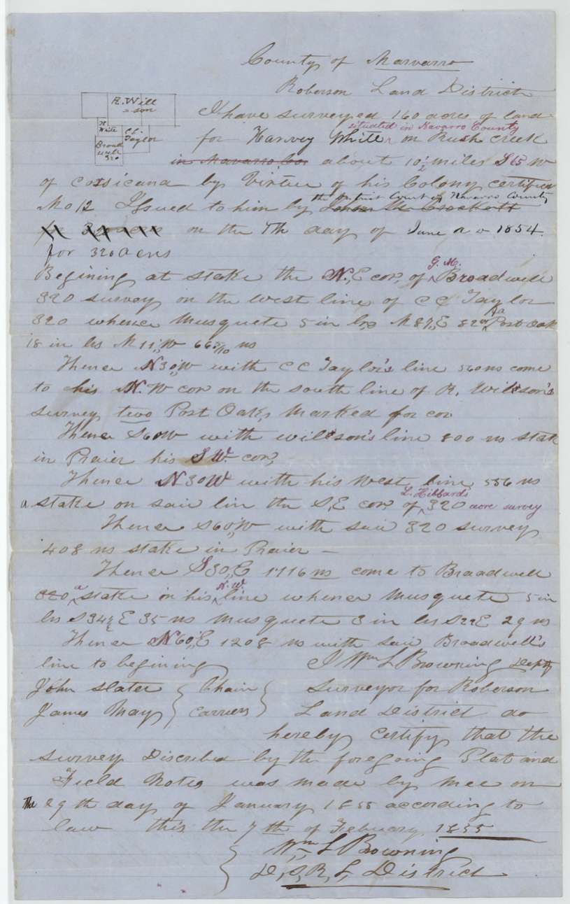
29 Jan 1855, Wm. L. Browning, Deputy Surveyor, Robertson Land District.
On Rush Creek, Navarro County, about 10 1/2 miles S 65 W of Corsicana
Chain carriers: John Slater, James May.
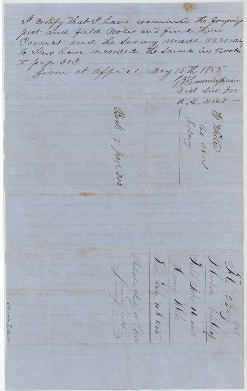
Book V, page 302
The patent
19 Jul 1856, No. 1501, Vol. 9, to Thomas S. Slater.
Also in the file
- James M. Riggs, the district clerk who signed White's certificate, later bought the certificate himself.
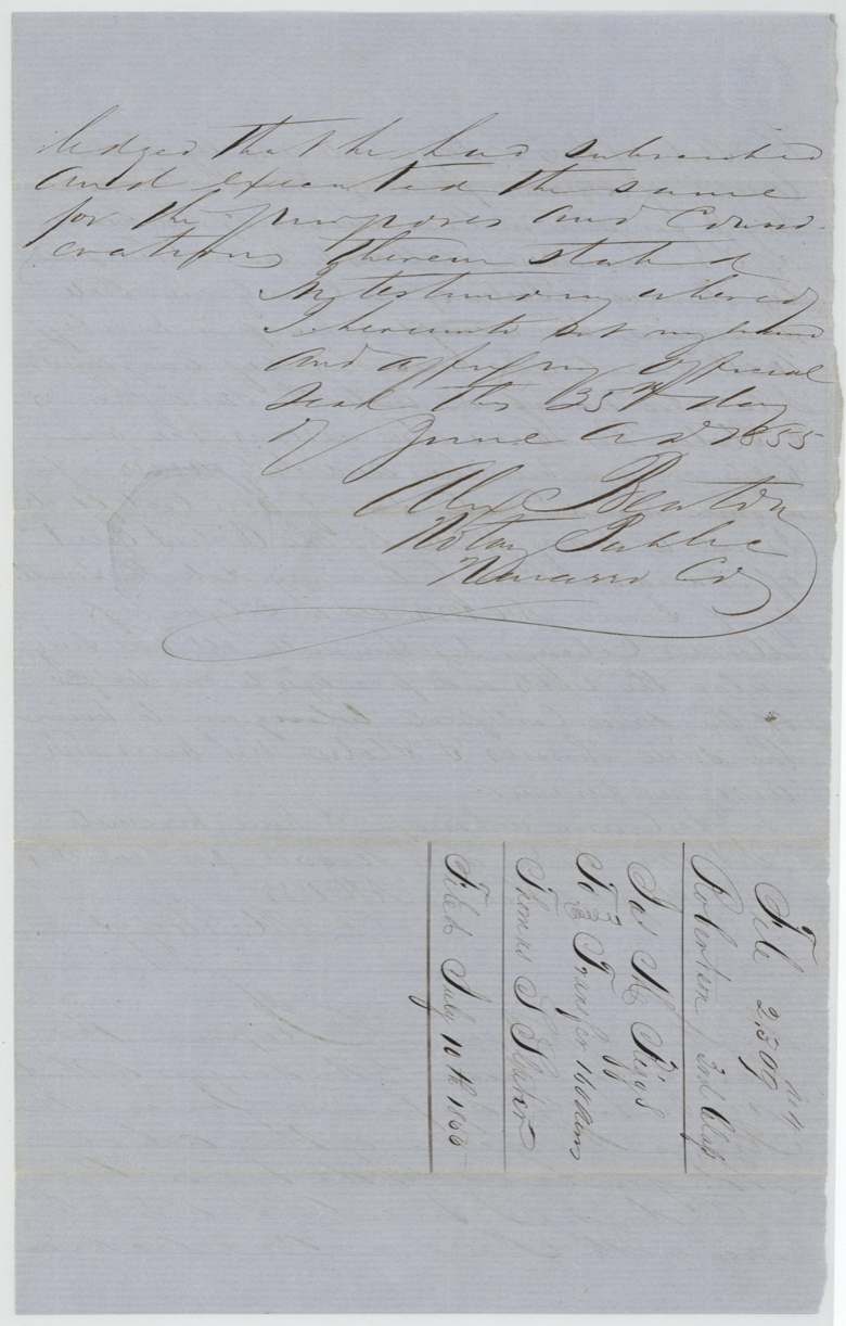
- Alexander Beaton, who bought the certificate from White, was the notary who took Riggs's acknowledgment when Riggs sold half of it on.
- White sold the certificate two days after it issued.
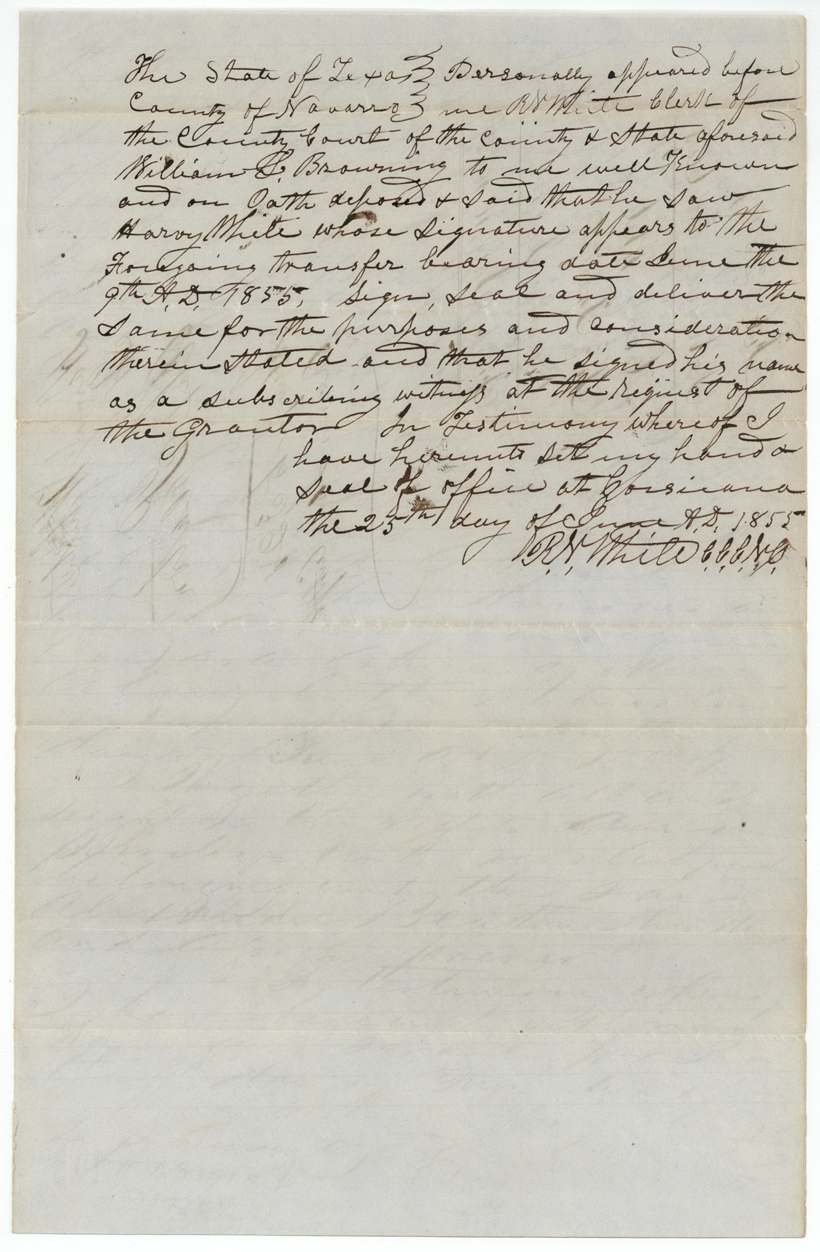
- The witness proof dates White's sale to 9 June 1855, a year later than the deed (9 June 1854).
- The surveyor first wrote that the certificate came from John M. Crockett (the Mercer Colony commissioner), then corrected it to the district court.
- John Slater carried chain on the survey; Thomas S. Slater ended up with the patent.
- Indexed as Robertson 3rd class although the right is a Mercer Colony citizenship certificate.
Timeline
- 5 Jun 1854Harvey White proves citizenship in Navarro County District Court
- 7 Jun 1854Mercer's Colony certificate No. 12 for 320 acres issued
- 9 Jun 1854White sells certificate to Alexander Beaton for $100
- 20 Oct 1854Beaton sells certificate to James M. Riggs
- 29 Jan 1855Wm. L. Browning surveys 160 acres on Rush Creek
- 15 May 1855District Surveyor records field notes, Book V p. 302
- 25 Jun 1855Riggs sells half of certificate to Thomas S. Slater; transfers acknowledged at Corsicana
- 10 Jul 1856Papers filed in General Land Office
- 19 Jul 1856Patent No. 1501 Vol. 9 issued to Thomas S. Slater
The papers in the file
Every page of the Land Office file, in the order the Land Office keeps them (12 pages). Tap a page to see it larger.
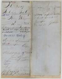 File jacketFile jacket for Harvey White's 160-acre Mercer's Colony survey, noting the patent of 19 July 1856 to Thomas S. Slater as assignee.General Land Office, file 2309, page 1 · in the scan
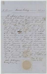 CertificateMercer's Colony certificate No. 12 for 320 acres, granted to Harvey White by the Navarro County District Court, 7 June 1854.General Land Office, file 2309, page 2 · in the scan
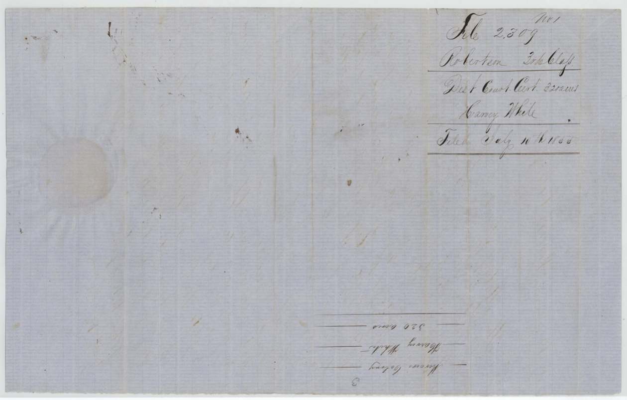
 WrapperBack of the certificate, with the docket naming Harvey White and the Land Office filing note of 10 July 1855.General Land Office, file 2309, page 3 · in the scan
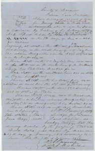 Field notesField notes for 160 acres on Rush Creek, surveyed for Harvey White by deputy surveyor Wm. L. Browning, 29 January 1855, with a small plat.General Land Office, file 2309, page 4 · in the scan
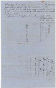 Surveyor's certificateDistrict surveyor's certificate of 15 May 1855 that the plat and field notes were correct and recorded in Book V, page 302, with a file docket.General Land Office, file 2309, page 5 · in the scan
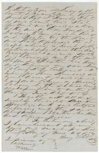 TransferTransfer from Harvey White to Alexander Beaton of his 320-acre Mercer's Colony certificate for $100, 9 June 1854.General Land Office, file 2309, page 6 · in the scan
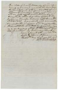 TransferCounty clerk's proof of 25 June 1855 of Harvey White's transfer to Alexander Beaton, sworn by witness William L. Browning.General Land Office, file 2309, page 7 · in the scan
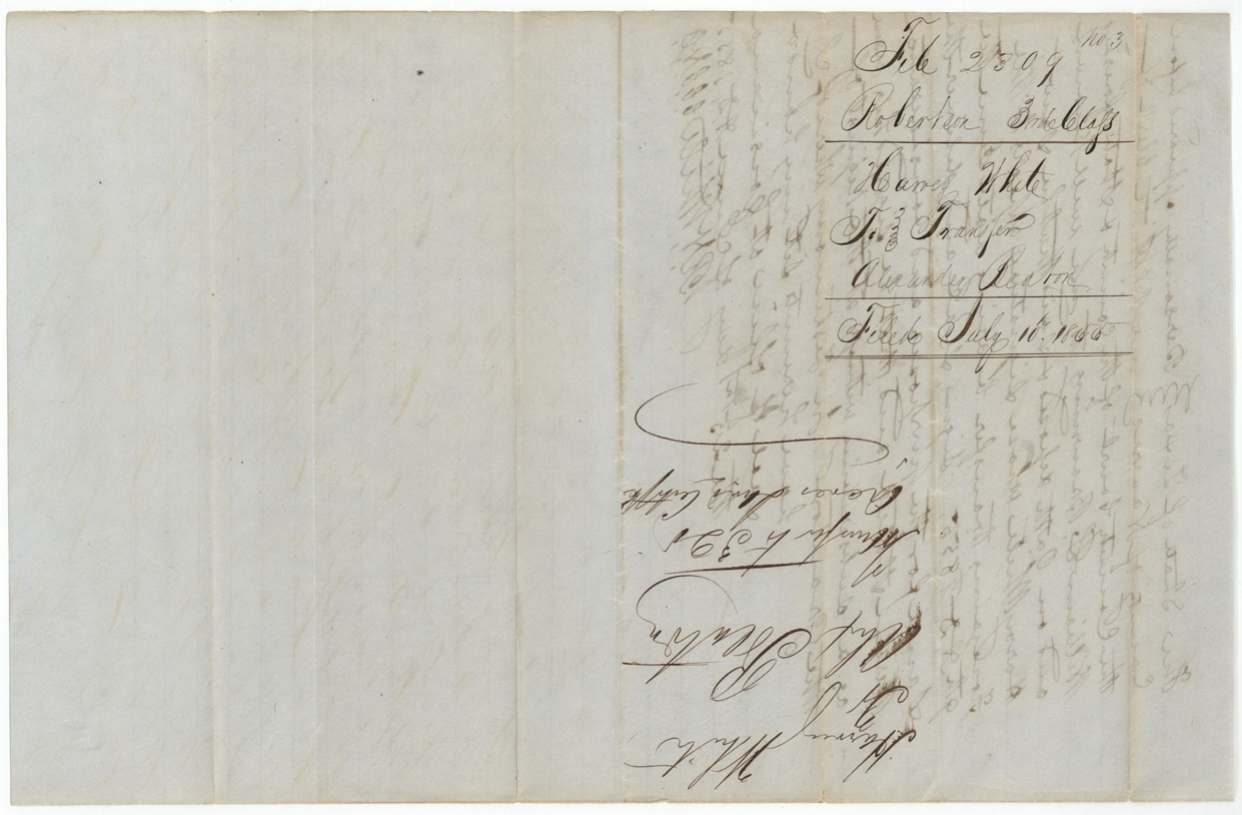
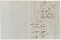 WrapperBack of the White transfer, with the docket and the Land Office filing note of 10 July 1855.General Land Office, file 2309, page 8 · in the scan
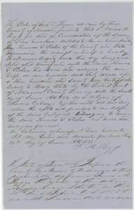 TransferTransfer from James M. Riggs to Thomas S. Slater of half of the certificate, 160 acres, for $200, 25 June 1855.General Land Office, file 2309, page 9 · in the scan
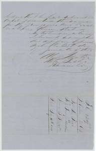 TransferNotary's acknowledgment of the Riggs to Slater transfer, with the docket and filing note of 10 July 1855.General Land Office, file 2309, page 10 · in the scan
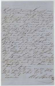 TransferTransfer from Alexander Beaton to James M. Riggs of the Mercer's Colony certificate originally issued to Harvey White, 20 October 1854.General Land Office, file 2309, page 11 · in the scan
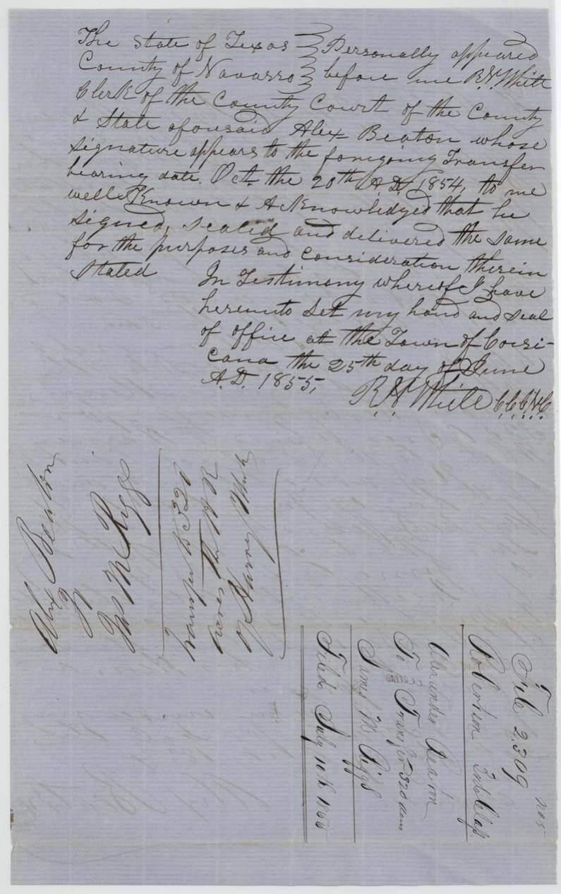
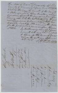 TransferCounty clerk's acknowledgment of Beaton's transfer to Riggs, 25 June 1855, with the docket and filing note of 10 July 1855.General Land Office, file 2309, page 12 · in the scan
Scans courtesy of the Texas General Land Office, Austin, from its Land Grant Database.
Neighbouring surveys
Sources
- Texas General Land Office, Land Grant Database: Navarro County, Abstract 845
- The Land Office file, scanned (PDF, at the General Land Office)
- 1924 map: courtesy of the Texas General Land Office, Austin, Map 73249, used under licence. Topo: U.S. Geological Survey, The National Map. Aerial photographs: U.S. Department of Agriculture, National Agriculture Imagery Program, 2012, 2018 and 2022. Survey outlines: Railroad Commission of Texas, Original Texas Land Survey. Grant records and files: Texas General Land Office.