Blackland TX · ← All the original surveys
Lucius Hibbard Survey, Abstract 356
- Granted to
- Lucius Hibbard
- Kind of grant
- Headright, third classLand for later settlers, including the colonists of Mercer’s Colony.
- Land Office file
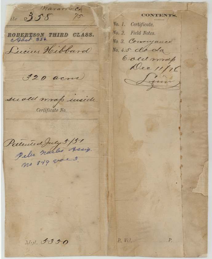
- Robertson 3rd class, file 358
- Acres
- 320
- Patented to
- Peter Narbo
- Patent
- 05 Jul 1851 · No. 849, Vol. 3
Tap a survey to open its page.
What the file shows
The Fort Bend County Board of Land Commissioners at Richmond issued Lucius Hibbard, a single man who swore he came to Texas in 1836, an unconditional 4th class certificate for 320 acres on 5 July 1845. Hibbard, signing by mark, sold it at Hodges Bend that September to James Craft for $50; Craft sold it to John Welch of Navarro County for $100 in 1847, and Welch sold it to Peter Narbo of Dallas County for $320 in 1848. D. R. Mitchell surveyed the 320 acres on Cottonwood Creek, a branch of Richland Creek about eleven miles WSW of Corsicana, on 11 May 1846, and recorded it himself in Book M p.40 in 1848. After the first deed was re-proved in 1851, the patent (No. 849, Vol. 3) issued to Narbo as assignee on 5 July 1851.
The certificate
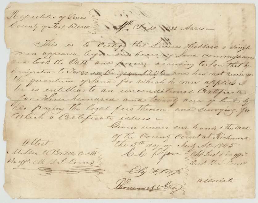
headright 4th class (filed under Robertson 3rd), No. not stated (field notes leave 'No.' blank), 320 acres, Board of Land Commissioners, Fort Bend County: C. C. Dyer(?), Chief Justice & ex officio Pres. B.L.C.; Eli(?) F. Ross(?) and Thomas(?) C. Grey, associates; attest Mills M. Battle, Co. Clk & ex officio Clk B.L.C., Richmond, Fort Bend County, 5 Jul 1845.
Lucius Hibbard, a single man, took the oath and proved according to law that he emigrated to Texas in the year 1836 (phrase underlined in the original) and has not received the quantum of land for which he now applies; entitled to an unconditional certificate for 320 acres on paying legal fees and surveying.
Changes of hand
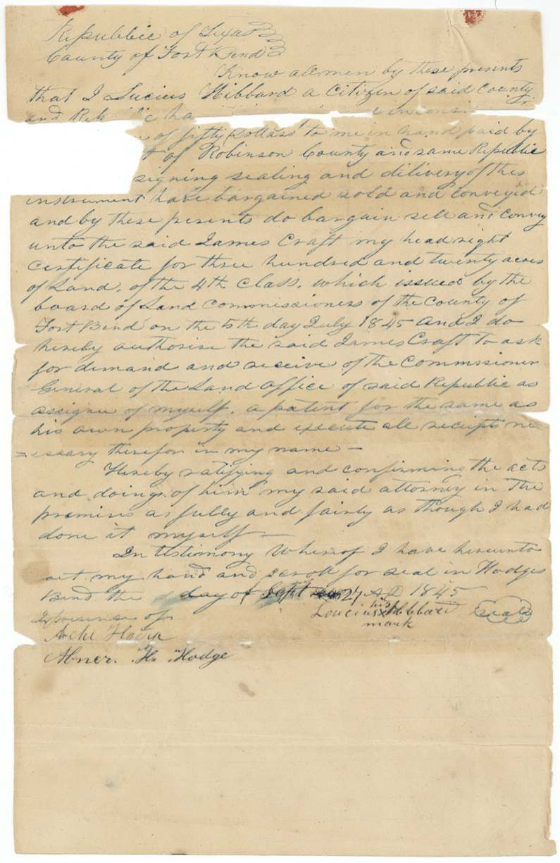
- 27 Sep 1845Lucius Hibbard, citizen of Fort Bend County (signs by his mark) → James Craft, of 'Robinson' County, $50, Hodges Bend, Fort Bend County. Conveyance of the headright certificate with authority for Craft to receive patent as assignee; a companion power of attorney of the same date and witnesses names Craft attorney to receive the patent. Notary fee 50 cents.
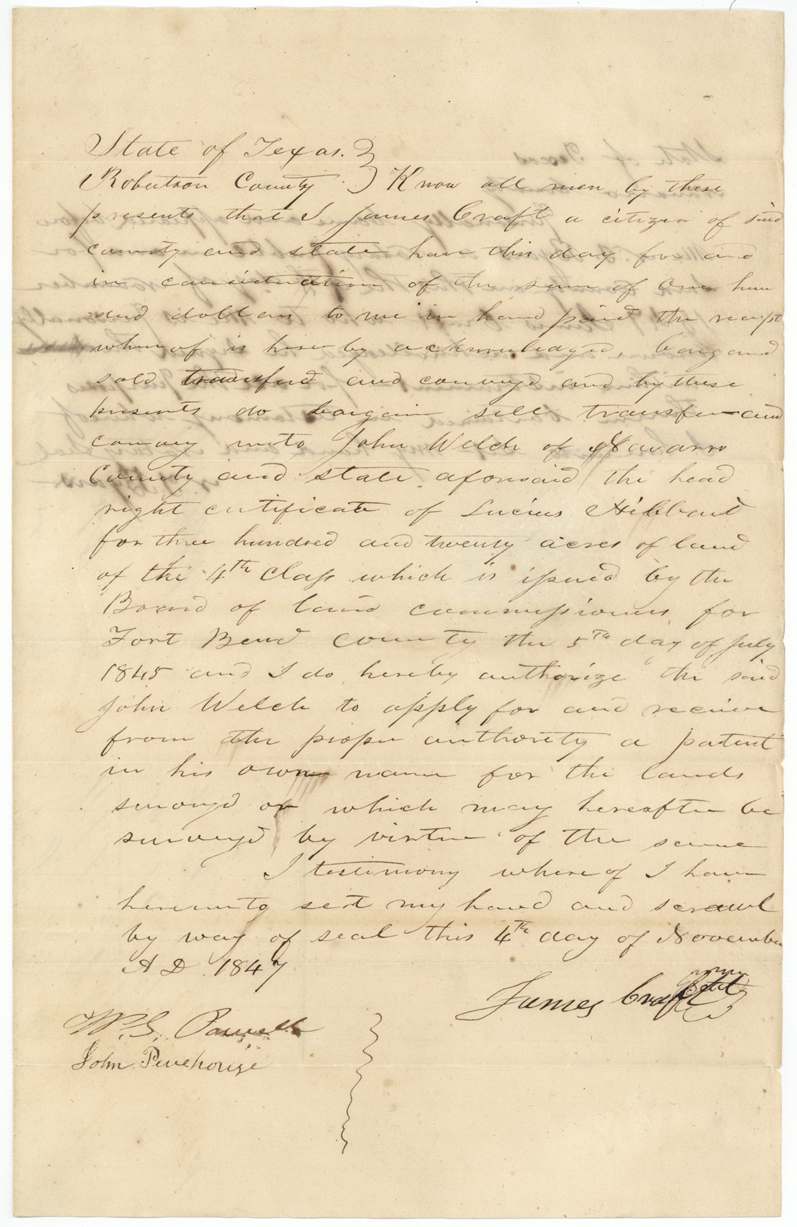
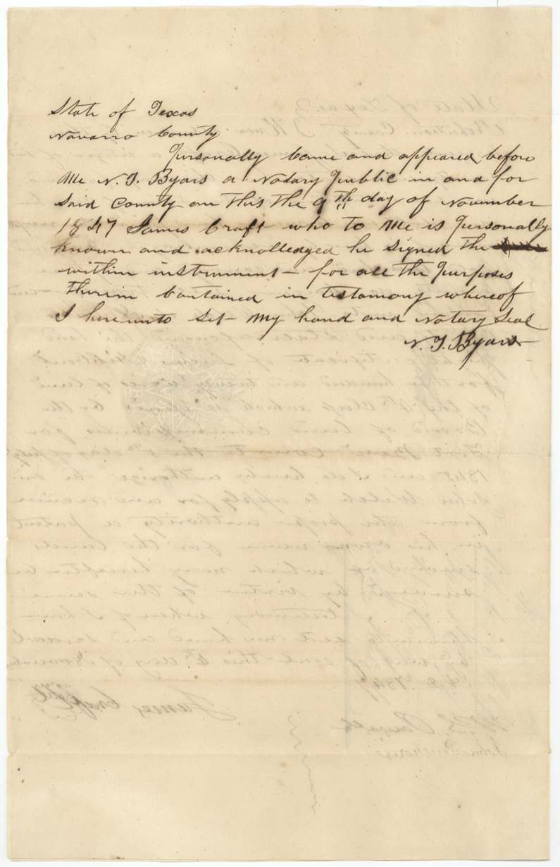
- 4 Nov 1847James Craft, citizen of Robertson County → John Welch, of Navarro County, $100, Robertson County (acknowledged in Navarro County). Sells the Hibbard 4th class headright certificate, authorizing Welch to take patent in his own name.
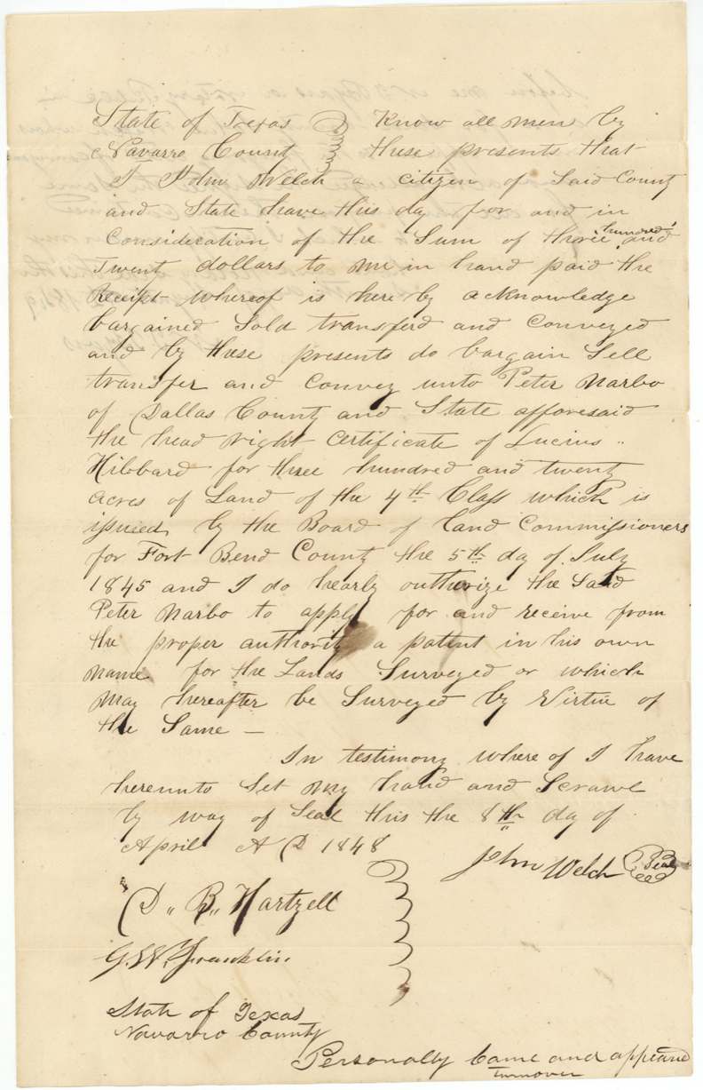
- 8 Apr 1848John Welch, citizen of Navarro County → Peter Narbo, of Dallas County, $320, Navarro County. 'three hundred and twenty dollars' with 'hundred and' interlined; authorizes Narbo to take patent in his own name. Docket: 'Peter Narbo to obtain patent'.
The survey
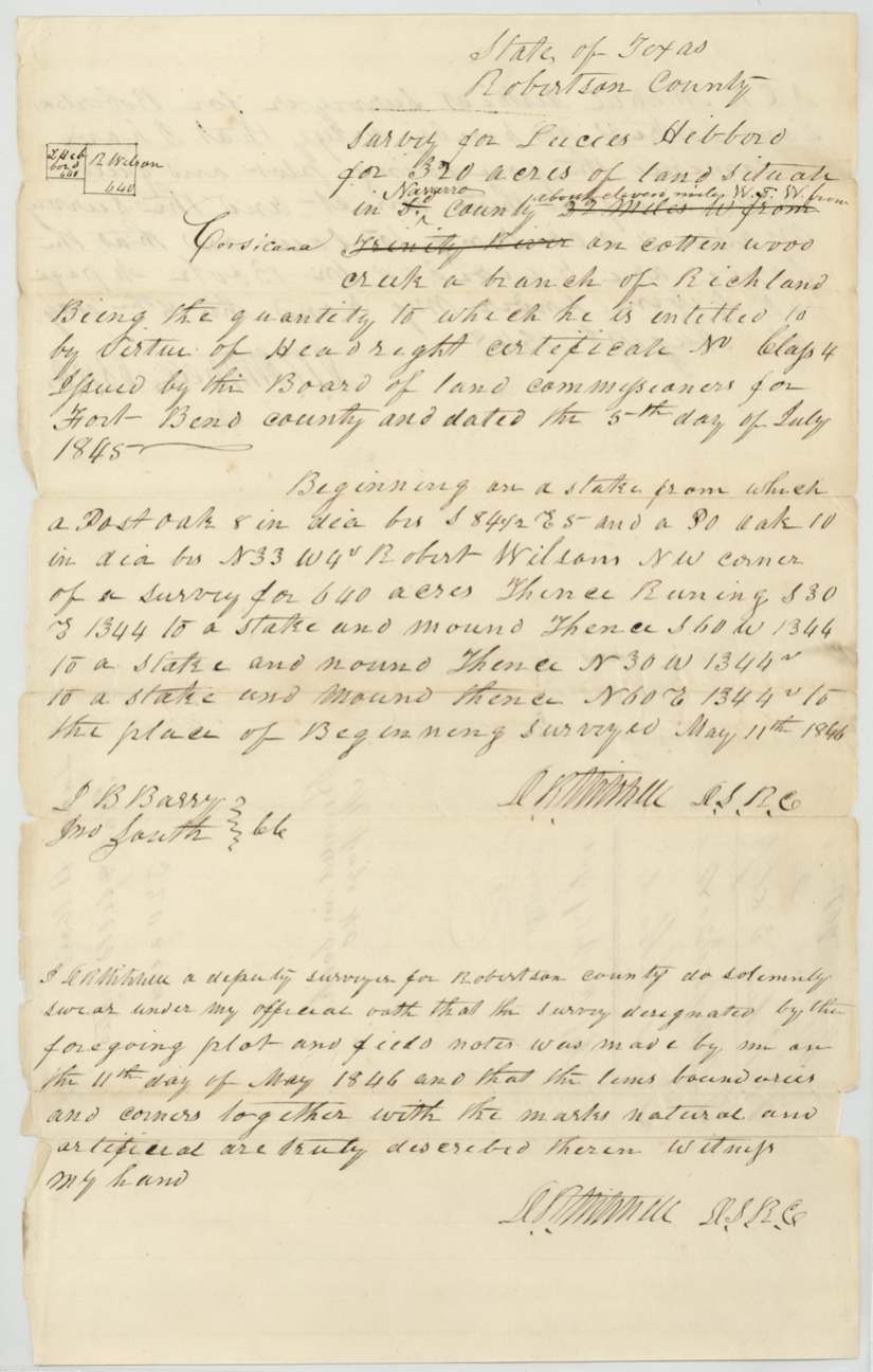
11 May 1846, D. R. Mitchell.
Navarro County (over struck original), about eleven miles W.S.W. from Corsicana (interlined; original '32 miles W from Trinity River' struck), on Cottonwood Creek, a branch of Richland. Begins at a stake (post oak 8 in. bears S 84 1/2 E 5 vrs; post oak 10 in. bears N33W 4 vrs) at Robert Wilson's NW corner of a survey for 640 acres; S30E 1344, S60W 1344, N30W 1344, N60E 1344 to beginning.
Chain carriers: I. B. Barry(?), Jno South.
Book M page 40
The patent
5 Jul 1851, No. 849, Vol. 3, to Peter Narbo, assignee, delivered to Forwarded to J. E.(?) Crockett, July 8/51.
Also in the file
- Certificate is 4th class (normally later arrivals) yet states Hibbard emigrated to Texas in 1836; the year is underlined in the original, as if queried.
- File is classed Robertson 3rd although every document calls the certificate 4th class.
- Price climbs at each sale: $50 (1845), $100 (1847), $320 (1848).
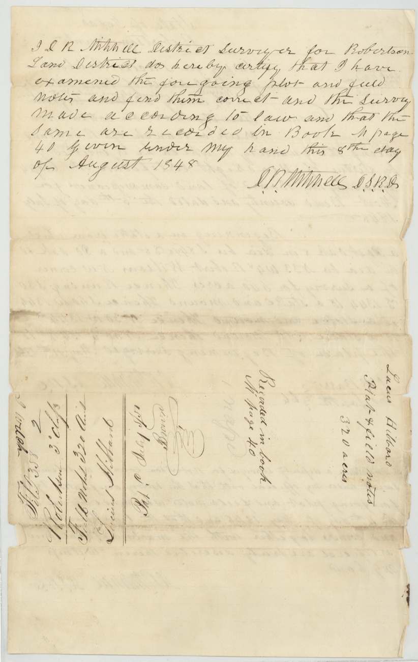
- D. R. Mitchell both made the survey (1846) and, as district surveyor, examined and recorded it (1848).
- Location originally written as '32 miles W from Trinity River', struck and replaced with 'about eleven miles W.S.W. from Corsicana'.
- Hibbard-Craft deed re-proved in 1851, six years after the sale, apparently to satisfy the GLO before patent.
Timeline
- 5 Jul 1845Fort Bend County board issues Lucius Hibbard an unconditional 4th class certificate for 320 acres at Richmond
- 27 Sep 1845Hibbard, by his mark, sells the certificate to James Craft for $50 at Hodges Bend and gives him power of attorney
- 3 Oct 1845Archie Hodge proves the instruments before Mills M. Battle
- 11 May 1846D. R. Mitchell surveys 320 acres on Cottonwood Creek, branch of Richland, ~11 miles WSW of Corsicana
- 4 Nov 1847Craft sells to John Welch for $100 (acknowledged before N. T. Byars Nov 9)
- 8 Apr 1848Welch sells to Peter Narbo of Dallas County for $320
- 8 Aug 1848Field notes examined and recorded Book M p.40
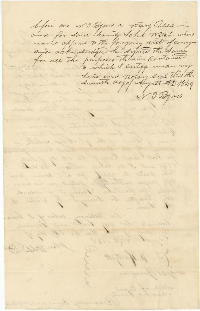
- 7 Aug 1849Welch acknowledges the Narbo deed before N. T. Byars
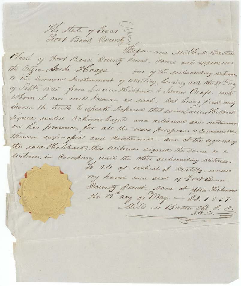
- 19 May 1851Archie Hodge re-proves the Hibbard-Craft deed in Fort Bend County
- 5 Jul 1851Patent No. 849 Vol. 3 to Peter Narbo, assignee
- 8 Jul 1851Patent forwarded to J. E.(?) Crockett
The papers in the file
Every page of the Land Office file, in the order the Land Office keeps them (16 pages). Tap a page to see it larger.
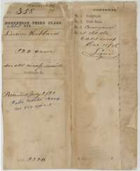 File jacketFile jacket for Lucius Hibbard's 320-acre fourth-class headright, listing the certificate, field notes and conveyances, marked patented in July 1851.General Land Office, file 358, page 1 · in the scan
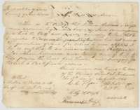 CertificateCertificate of the Fort Bend County land board, 5 July 1845, that Lucius Hibbard, a single man who came to Texas in 1836, is entitled to 320 acres.General Land Office, file 358, page 2 · in the scan
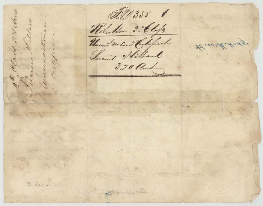
 Back of the certificateBack of the certificate, endorsed as the unconditional certificate of Lucius Hibbard, 320 acres, fourth class.General Land Office, file 358, page 3 · in the scan
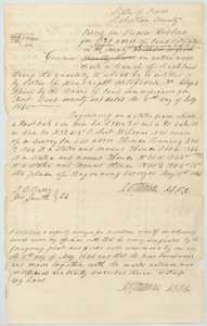 Field notesField notes for 320 acres on Cottonwood Creek, a branch of Richland Creek, surveyed for Lucius Hibbard by deputy surveyor D. R. Mitchell, 11 May 1846.General Land Office, file 358, page 4 · in the scan
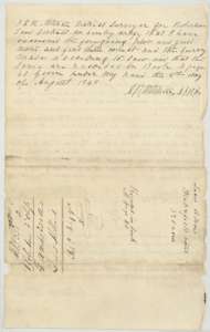 Surveyor's certificateDistrict surveyor D. R. Mitchell's certificate of 8 August 1848 that the Hibbard field notes were examined and recorded in Book M, page 40, with the field-notes jacket.General Land Office, file 358, page 5 · in the scan
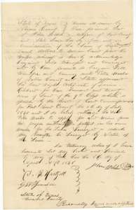 TransferConveyance of 8 April 1848 by John Welch of Navarro County to Peter Narbo of Dallas County of the Hibbard headright certificate for $320.General Land Office, file 358, page 6 · in the scan
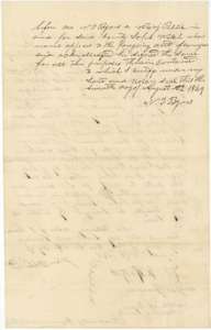 TransferAcknowledgment of the Welch to Narbo conveyance before notary N. T. Byars, 7 August 1849.General Land Office, file 358, page 7 · in the scan
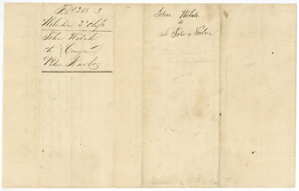
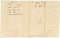 WrapperJacket for the conveyance from John Welch to Peter Narbo.General Land Office, file 358, page 8 · in the scan
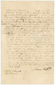 TransferConveyance of 4 November 1847 by James Craft to John Welch of the Hibbard headright certificate for $100.General Land Office, file 358, page 9 · in the scan
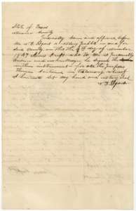 TransferAcknowledgment of the Craft to Welch conveyance before notary N. T. Byars in Navarro County, 9 November 1847.General Land Office, file 358, page 10 · in the scan
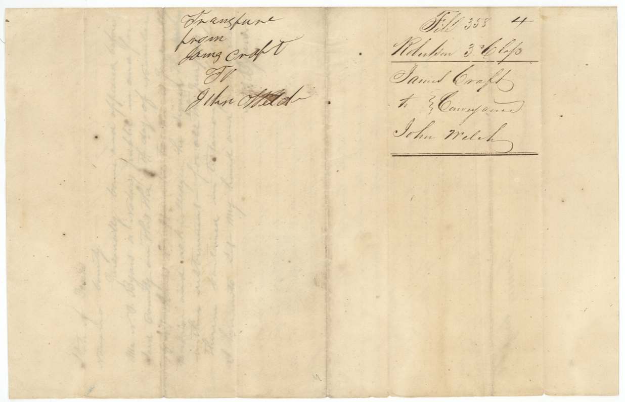
 WrapperJacket for the conveyance from James Craft to John Welch.General Land Office, file 358, page 11 · in the scan
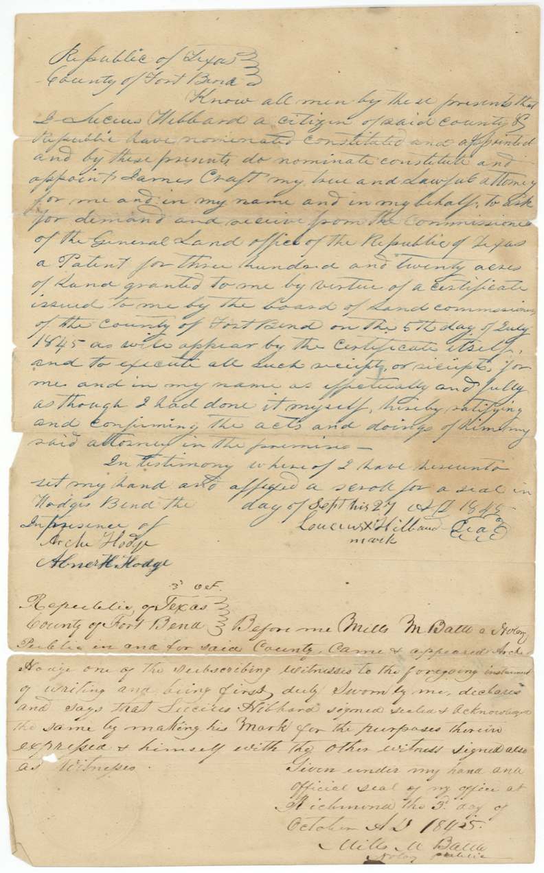
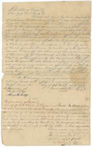 Power of attorneyPower of attorney of 27 September 1845 in which Lucius Hibbard names James Craft to receive his patent, proved before Mills M. Battle at Richmond.General Land Office, file 358, page 12 · in the scan
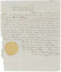 AffidavitAffidavit of Archie Hodge before Fort Bend County clerk Mills M. Battle, 19 May 1851, proving Lucius Hibbard's signature on the transfer to James Craft.General Land Office, file 358, page 13 · in the scan
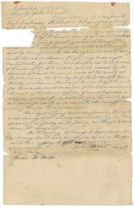 TransferConveyance of 27 September 1845 by Lucius Hibbard to James Craft of his 320-acre headright certificate for $50, signed at Hodges Bend.General Land Office, file 358, page 14 · in the scan
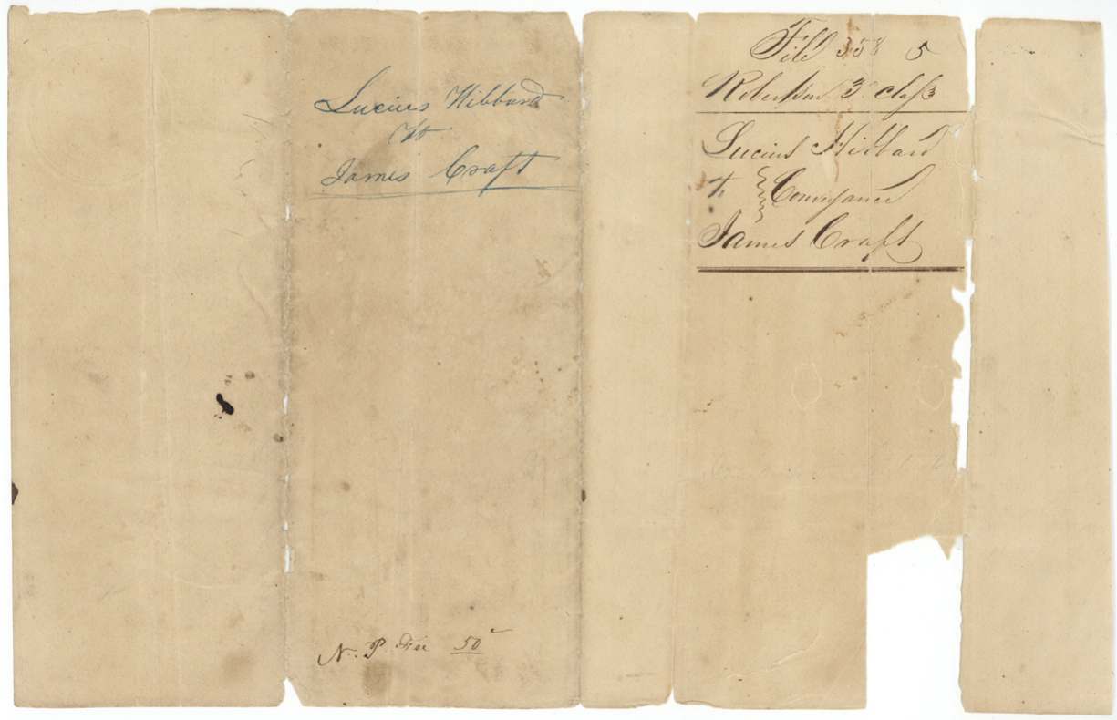
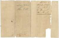 WrapperJacket for the conveyance from Lucius Hibbard to James Craft.General Land Office, file 358, page 15 · in the scan
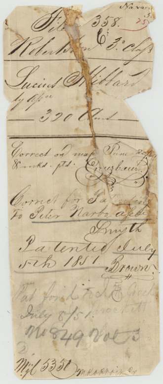
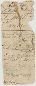 WrapperOld wrapper from the Hibbard file, with map-check notes and the patent entry of July 1851.General Land Office, file 358, page 16 · in the scan
Scans courtesy of the Texas General Land Office, Austin, from its Land Grant Database.
Neighbouring surveys
Sources
- Texas General Land Office, Land Grant Database: Navarro County, Abstract 356
- The Land Office file, scanned (PDF, at the General Land Office)
- 1924 map: courtesy of the Texas General Land Office, Austin, Map 73249, used under licence. Topo: U.S. Geological Survey, The National Map. Aerial photographs: U.S. Department of Agriculture, National Agriculture Imagery Program, 2012, 2018 and 2022. Survey outlines: Railroad Commission of Texas, Original Texas Land Survey. Grant records and files: Texas General Land Office.