Blackland TX · ← All the original surveys
David Wood Survey, Abstract 836
- Granted to
- David Wood
- Kind of grant
- Headright, second classLand for settlers who came between independence and 1 October 1837.
- Land Office file
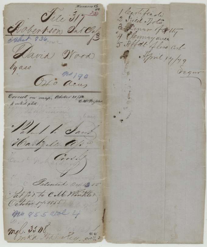
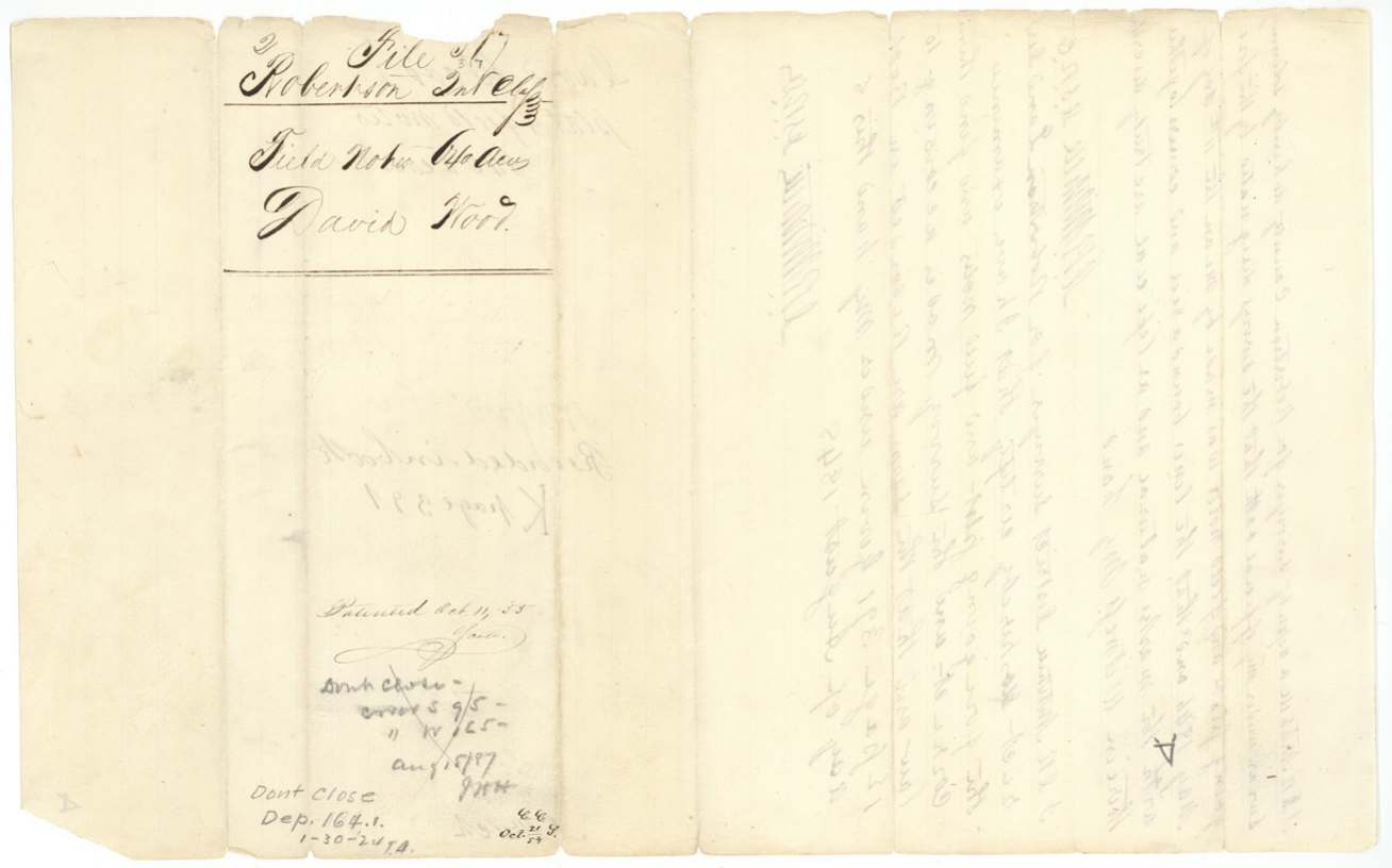
- Robertson 2nd class, file 317
- Certificate
- No. 190
- Acres
- 640
- Patented to
- Jacob Hartzell
- Patent
- 13 Oct 1855 · No. 855, Vol. 4
Tap a survey to open its page.
What the file shows
David Wood proved three years' residence and citizenship before the Nacogdoches board, which issued conditional certificate No. 180 in 1839 and unconditional headright certificate No. 190 for 640 acres on 4 July 1842. He gave a power of attorney to P. E. Bean, which passed by assignment through several Beans to Jacob Hartzell in 1848, and a deed in Wood's name by Bean conveyed the headright to Hartzell for $100. D. R. Mitchell surveyed the land on 11 May 1846 on Cottonwood Creek about 12 miles S 70 W of Corsicana, beginning at E. Melton's southeast corner, and after Hartzell swore at Corsicana in 1855 that the certificate was lost, the land was patented to him as assignee in October 1855 (No. 855, Vol. 4), the patent going to C. M. Winkler.
The certificate
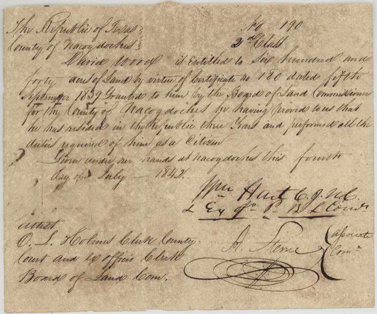
headright 2nd class (unconditional certificate replacing conditional cert. No. 180), No. 190, 640 acres, Board of Land Commissioners for Nacogdoches County: Wm. Hart, C.J.N.C. & ex off. Pres. B.L. Com.; A. Sterne, Associate Com.; attest O. L. Holmes(?), Clerk County Court and ex officio Clerk Board of Land Com., Nacogdoches, 4 July 1842.
David Wood is entitled to 640 acres by virtue of (conditional) certificate No. 180 dated 5 Sept 1839 granted by the Nacogdoches board, 'he having proved to us that he has resided in the Republic three years and performed all the duties required of him as a citizen'.
Changes of hand
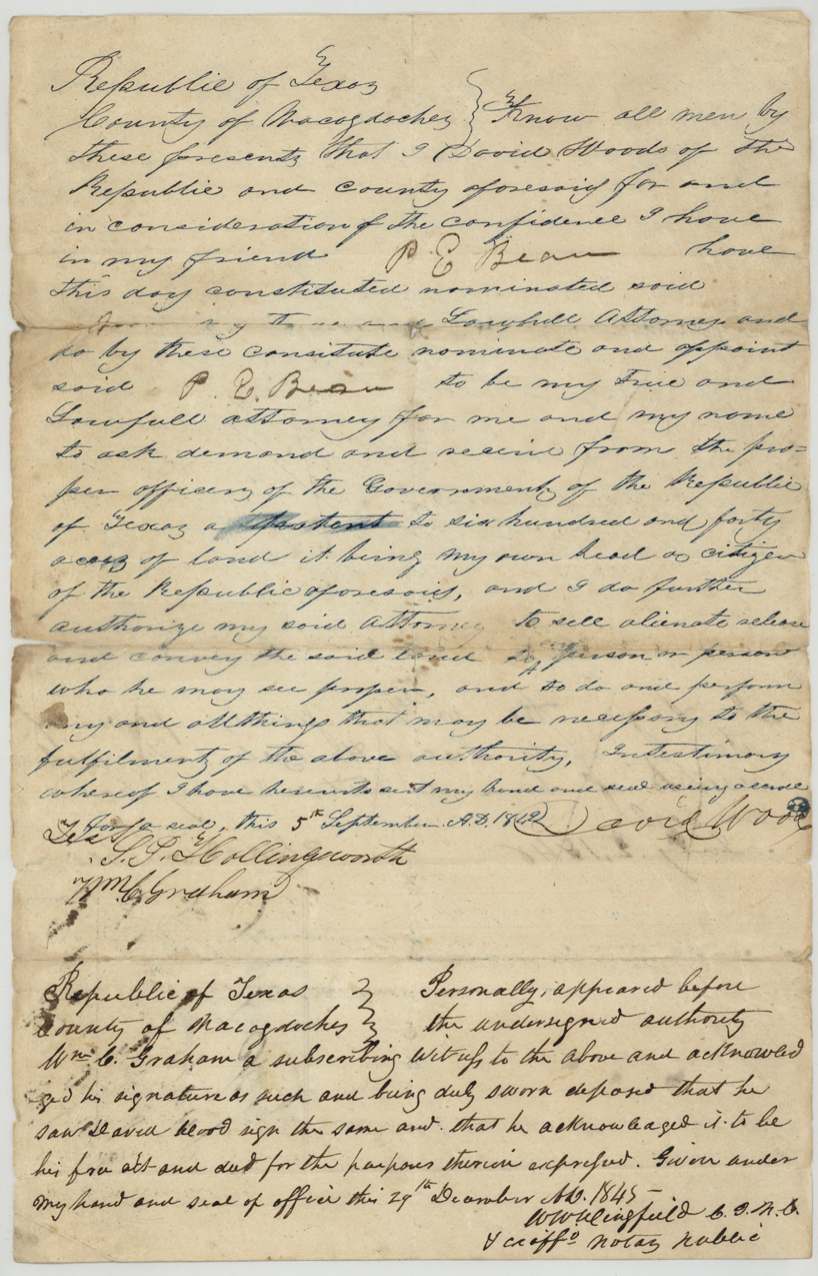
- 5 Sept 1842 (year as written; could be read 1840)David Wood(s), of Nacogdoches County → P. E. Bean (attorney in fact), none ('in consideration of the confidence I have in my friend'), Nacogdoches County. Power of attorney to obtain patent for 640 acres 'it being my own head as citizen' and to sell, alienate and convey the land to whom he sees proper.
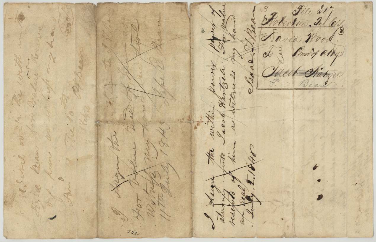
- Jan 10 1842 (as written)P. E. Bean → Israel(?) Bean, for value received. Assignment of the power of attorney written on its reverse; faint.
- 11 July 1843Josiah(?) P. Bean → J. T. Bean, for value received. Assignment on reverse of the power of attorney; crossed out.
- 2 Jul 1848Isaac T. Bean → Jacob Hartzell, for value received. Assignment of the power of attorney to Hartzell, on its reverse (also lightly crossed).
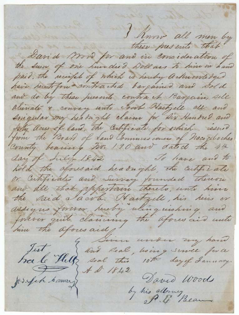
- 10 Jan 1842 (as written)David Woods, by his attorney P. E. Bean → Jacob Hartzell, $100. Sells 'all and singular my headright claim for 640 acres', certificate No. 190 dated 4 July 1842 from the Nacogdoches board, with any survey founded thereon.
The survey
11 May 1846, D. R. Mitchell.
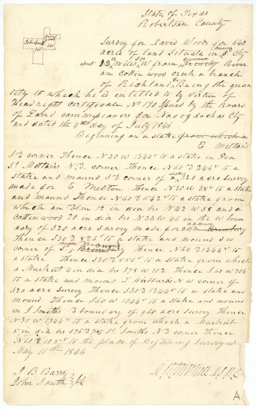
State of Texas, Robertson County [heading]: 640 acres situate in Navarro County (inserted) about 12 (written over 10?) miles S 70 W from Corsicana (struck: 'Trinity River') on Cottonwood creek a branch of Richland Cr. Beginning on a stake, E. Melton's S.E. corner; N 30 W 1344 vrs to a stake in Pea(?)... Sd. Melton's N.E. corner; then to S.E. corner of another 320-acre survey made for E. Melton; along W boundary of 320-acre survey made for O. B. Monroe (struck: 'Bromberry'); to L. Hibbard's N.W. corner of 320-acre survey; to J. Smith's E. boundary of 960-acre survey and Smith's N.E. corner.
Chain carriers: J. B. Barry, John Smith.
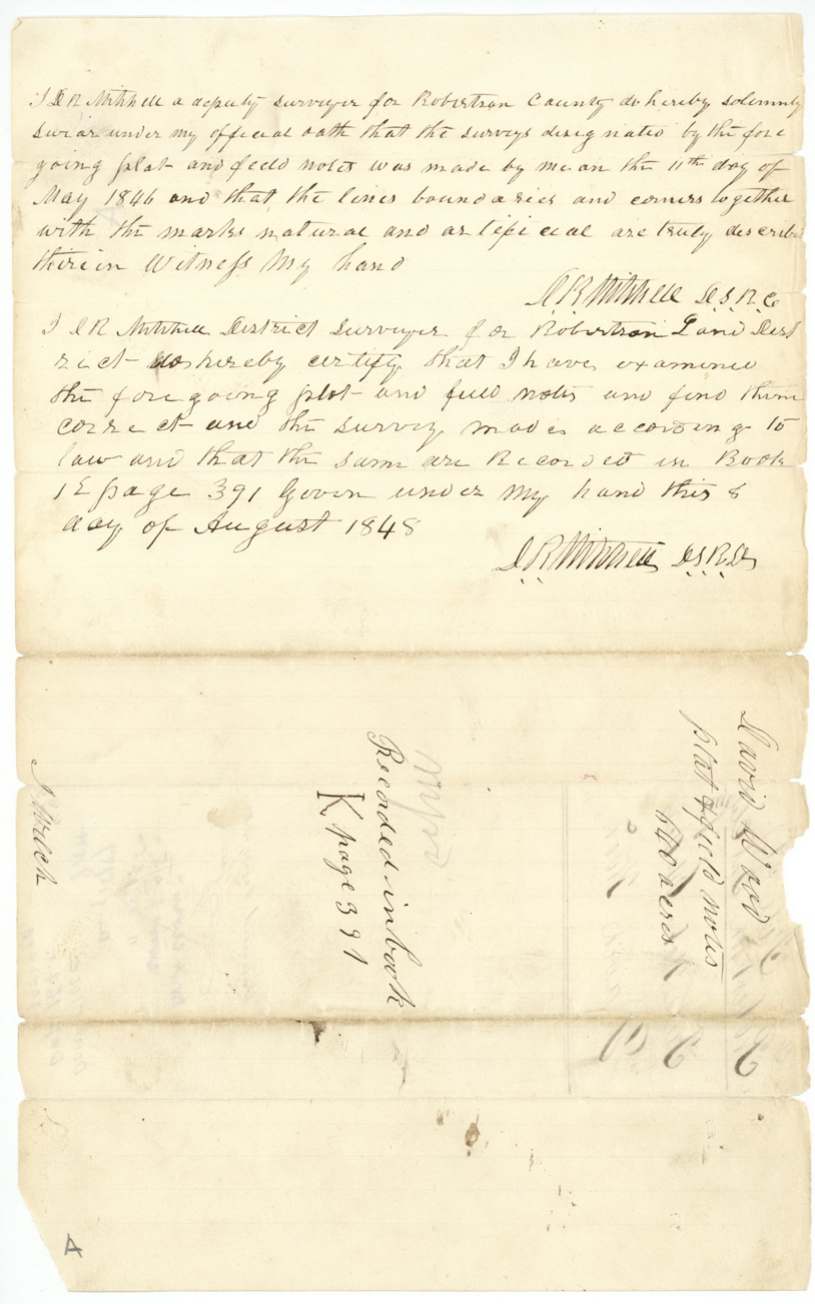
Book K, page 391
The patent
Oct 1855 (field-note docket 'Oct. 11 '55'; jacket 'Oct 13(?) 55'), No. 855, Vol. 4, to Jacob Hartzell, assignee, delivered to Pat. fr'd (forwarded) to C. M. Winkler, October 17 1855.
Also in the file
- Date tangle: the deed to Hartzell is dated 10 Jan 1842, before the certificate it sells (4 July 1842) and before the power of attorney that authorises it (5 Sept 1842); the first assignment of the power is also dated Jan 10 1842. The field notes date the certificate 4 July 1846 and Hartzell's affidavit dates it 4 July 1840.
- The power of attorney passed hand to hand among Beans (P. E. Bean, Israel(?) Bean, Josiah(?) P. Bean, J. T. Bean, Isaac T. Bean) before reaching Hartzell in 1848, treated like a negotiable instrument.
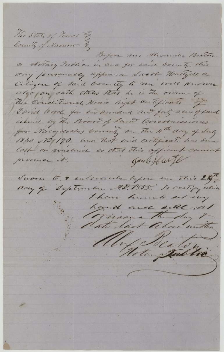
- Hartzell swore in 1855 that the 'conditional' certificate was lost, yet the unconditional certificate No. 190 is in the file.
- Neighbour name 'Bromberry' was struck and replaced by 'O. B. Monroe' (twice, once in red).
- Faint pencil 'in the reserve' on the jacket, as on file 2466 (Abst 493).
- Pencil 'Dont close' notes of 1887 ('errors') and 1924 ('Dep. 164.1') show the file was reopened long after patent.
- Survey made under a Robertson County heading in May 1846, with 'Navarro' inserted and 'Trinity River' replaced by 'Corsicana'.
Timeline
- 5 Sep 1839Nacogdoches board issues conditional cert. No. 180 to David Wood
- 10 Jan 1842Date written on deed Wood (by Bean) to Hartzell, $100, and on first assignment of the power
- 4 Jul 1842Unconditional cert. No. 190 (640 ac) issued at Nacogdoches
- 5 Sep 1842Power of attorney David Wood to P. E. Bean (year as written)
- 11 Jul 1843Assignment of the power to J. T. Bean (later crossed out)
- 29 Dec 1845Witness Wm. C. Graham proves the power of attorney at Nacogdoches
- 11 May 1846D. R. Mitchell surveys 640 ac on Cottonwood Creek from E. Melton's SE corner, ~12 mi S 70 W of Corsicana
- 2 Jul 1848Isaac T. Bean assigns the power of attorney to Jacob Hartzell
- 8 Aug 1848Mitchell examines and records, Book K p. 391
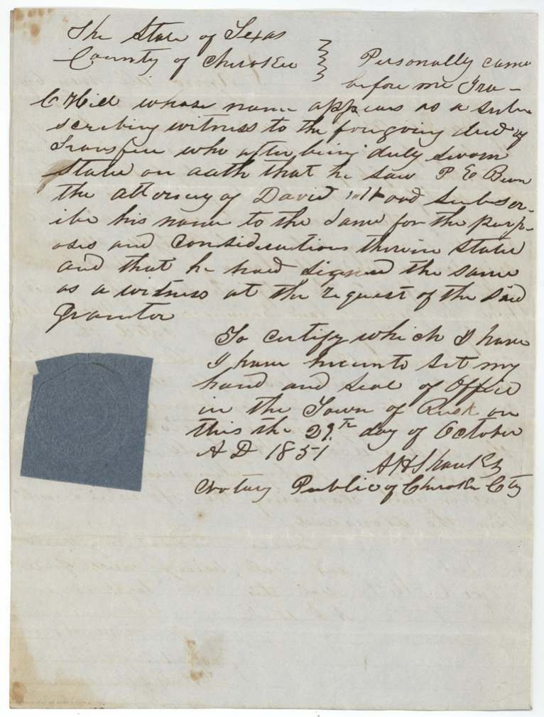
- 29 Oct 1851Isaac C. Hill proves the deed to Hartzell at Rusk, Cherokee County
- 21 Oct 1854Checked (C.C.) and found correct on map by C. W. Pressler
- 29 Sep 1855Hartzell swears before Alexander Beaton at Corsicana that the certificate is lost
- 11 Oct 1855Patented to Jacob Hartzell, assignee, No. 855 Vol. 4
- 17 Oct 1855Patent forwarded to C. M. Winkler
- 15 Aug 1887Pencil note 'Dont close — errors' (J.H.H.)
- 30 Jan 1924Pencil note 'Dont close Dep. 164.1' (T.A.)
The papers in the file
Every page of the Land Office file, in the order the Land Office keeps them (13 pages). Tap a page to see it larger.
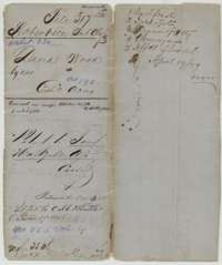 File jacketFile jacket for David Wood's 640 acres in Navarro County, Robertson 2nd Class, with the October 1855 patent entry to Jacob Hartzell.General Land Office, file 317, page 1 · in the scan
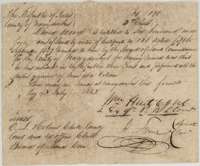 CertificateHeadright certificate No. 190 for 640 acres, issued to David Wood by the Nacogdoches County land board, 4 July 1842.General Land Office, file 317, page 2 · in the scan
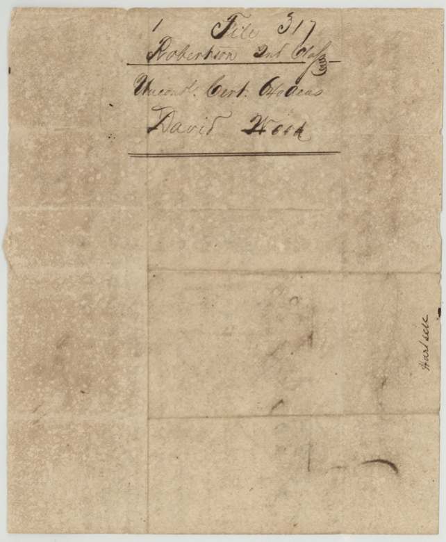
 Back of the certificateBack of the Wood certificate, with the file docket Robertson 2nd Class, unconditional certificate for 640 acres.General Land Office, file 317, page 3 · in the scan
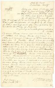 Field notesField notes and sketch of 640 acres on Cottonwood Creek, a branch of Richland Creek, surveyed for David Wood by deputy surveyor D. R. Mitchell, 11 May 1846.General Land Office, file 317, page 4 · in the scan
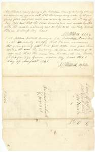 Surveyor's certificateSurveyor's oath of 11 May 1846 and district surveyor D. R. Mitchell's certificate of 8 August 1848 that the Wood survey is recorded in Book K, page 391.General Land Office, file 317, page 5 · in the scan
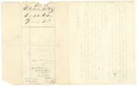 WrapperWrapper for the Wood field notes, noting their record in Book K, page 391.General Land Office, file 317, page 6 · in the scan
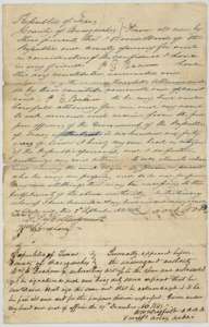 Power of attorneyPower of attorney in which David Wood names P. E. Bean to obtain his land, with witness proof of 29 December 1845.General Land Office, file 317, page 7 · in the scan
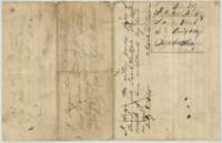 Power of attorneyBack of the power of attorney, carrying the later assignments of it ending with Jacob Hartzell, and the file docket.General Land Office, file 317, page 8 · in the scan
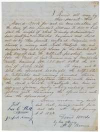 TransferDeed in which David Wood, by his attorney P. E. Bean, sells his 640-acre headright to Jacob Hartzell for $100.General Land Office, file 317, page 9 · in the scan
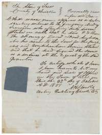 AffidavitCherokee County notary's proof, 29 October 1851, that the Wood to Hartzell deed was signed by the attorney.General Land Office, file 317, page 10 · in the scan
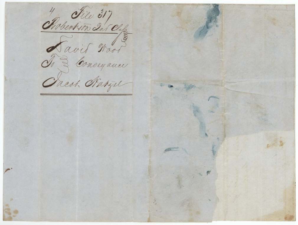
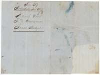 WrapperWrapper for the conveyance from David Wood to Jacob Hartzell.General Land Office, file 317, page 11 · in the scan
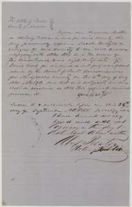 AffidavitAffidavit of Jacob Hartzell before a Corsicana notary, September 1855, that he owns the Wood certificate and that it has been lost.General Land Office, file 317, page 12 · in the scan
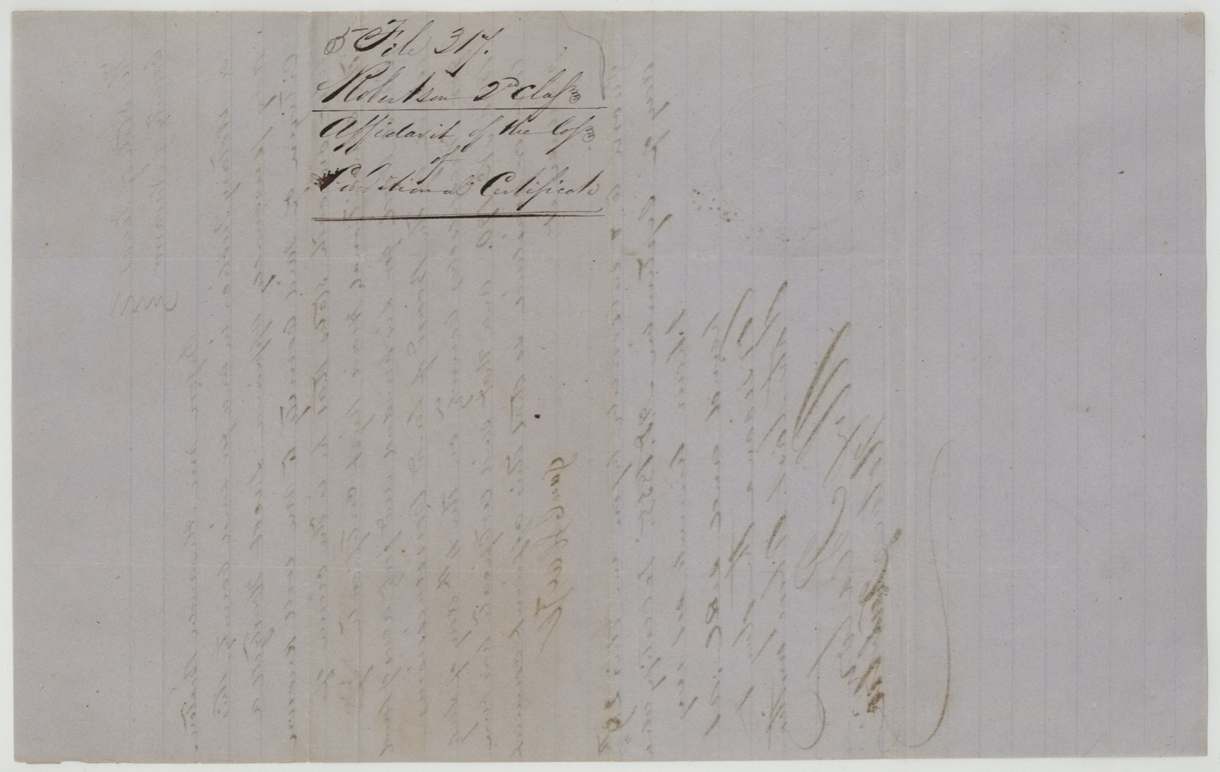
 WrapperWrapper for the affidavit of the loss of the certificate, with faint writing.General Land Office, file 317, page 13 · in the scan
Scans courtesy of the Texas General Land Office, Austin, from its Land Grant Database.
Neighbouring surveys
Sources
- Texas General Land Office, Land Grant Database: Navarro County, Abstract 836
- The Land Office file, scanned (PDF, at the General Land Office)
- 1924 map: courtesy of the Texas General Land Office, Austin, Map 73249, used under licence. Topo: U.S. Geological Survey, The National Map. Aerial photographs: U.S. Department of Agriculture, National Agriculture Imagery Program, 2012, 2018 and 2022. Survey outlines: Railroad Commission of Texas, Original Texas Land Survey. Grant records and files: Texas General Land Office.