Blackland TX · ← All the original surveys
John Smith Survey, Abstract 771
- Granted to
- John Smith
- Kind of grant
- Bounty warrantLand paid for service in the army of the Republic.
- Land Office file
- Robertson Bounty, file 63
- Certificate
- No. 1583
- Acres
- 960
- Patented to
- Nathaniel H. Watrous
- Patent
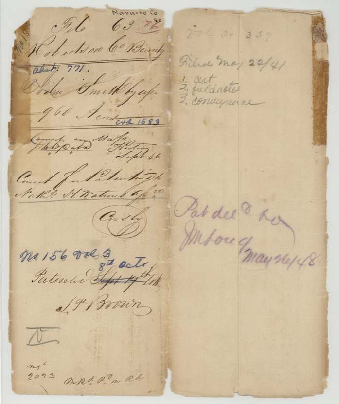
- 08 Oct 1846 · No. 156, Vol. 3
Tap a survey to open its page.
What the file shows
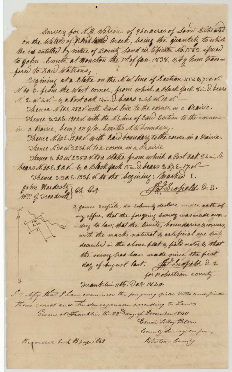
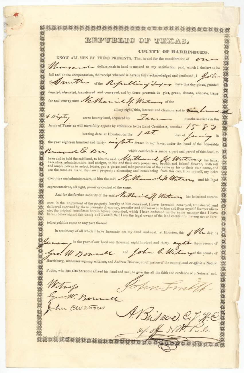
John Smith served ten months in the army, from 14 February 1837 to 1 January 1838, and was given a bounty warrant for 960 acres at Houston on the day his service ended. Five days later, on 6 January 1838, he sold it to Nathaniel H. Watrous for $1,000. James Scofield surveyed it for Watrous on the waters of Richland Creek on 11 December 1840, and it was patented to Watrous, as assignee, on 8 October 1846.
The certificate
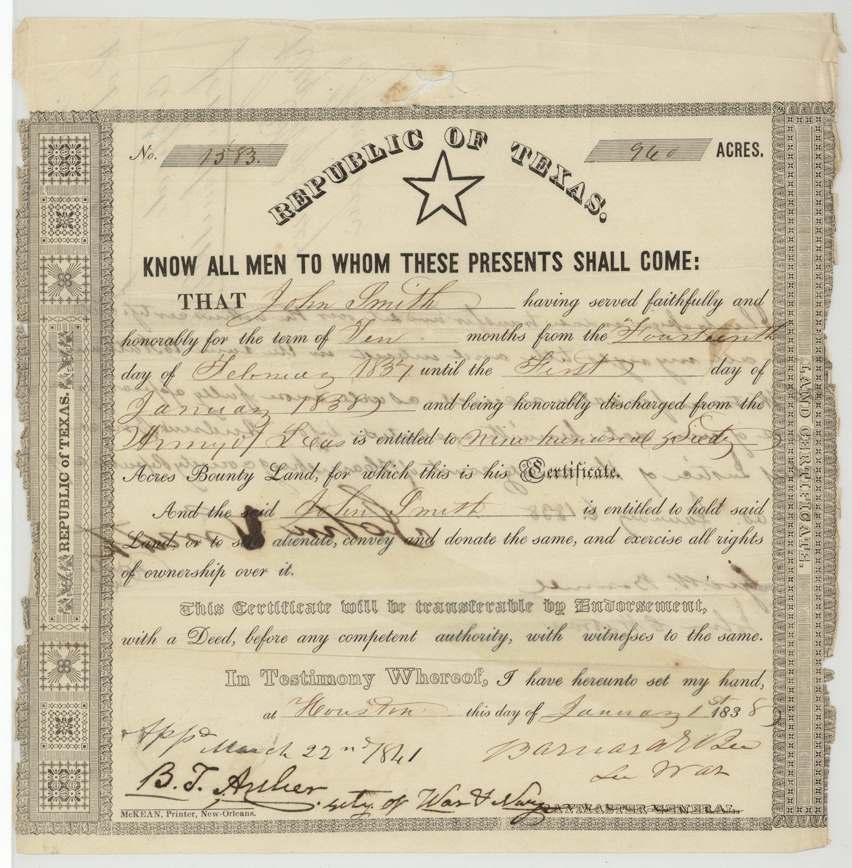
Bounty warrant, No. 1583, 960 acres, Barnard E. Bee, Secretary of War, Houston, 1 Jan 1838.
Ten months' service, 14 Feb 1837 to 1 Jan 1838. Approved 22 Mar 1841 by B. T. Archer, Secretary of War and Navy.
Changes of hand
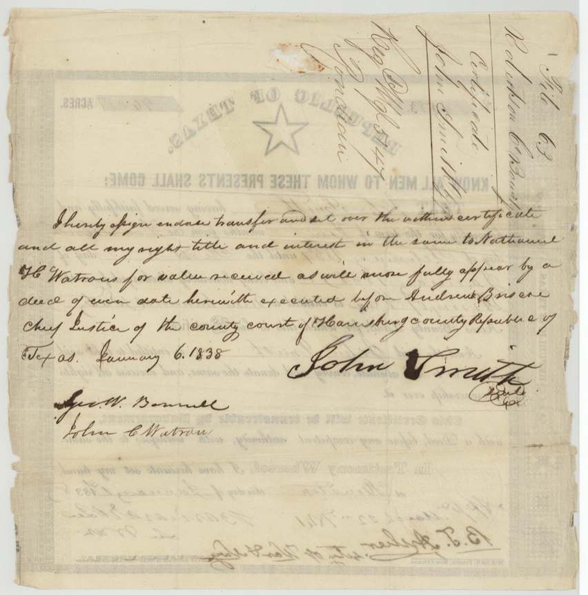
- 6 Jan 1838John Smith → Nathaniel H. Watrous, $1,000, Houston, Harrisburg County. Witnesses Geo. W. Bonnell and John C. Watrous; sworn before Andrew Briscoe, Chief Justice
The survey
11 Dec 1840, James Scofield, Deputy Surveyor, Robertson County.
Waters of Richland Creek; begins on the NW line of Section XIV and calls J. M. Smith's NW boundary
Chain carriers: John Hardesty, Wm. J. Treadwell.
Book B, pp. 148–149; examined by Edwin LeRoy Patton, County Surveyor, 22 Dec 1840
The patent
8 Oct 1846, No. 156, Vol. 3, to Nathaniel H. Watrous, assignee, Delivered May 1848.
Also in the file
- The sale is endorsed on the back of the warrant itself.
- Filed in the General Land Office 22 May 1841.
Timeline
- 14 Feb 1837Smith's service begins
- 1 Jan 1838Bounty warrant No. 1583 issued at Houston
- 6 Jan 1838Smith sells it to Watrous for $1,000
- 11 Dec 1840Surveyed by James Scofield
- 22 Mar 1841Warrant approved
- 8 Oct 1846Patented to Watrous
The papers in the file
Every page of the Land Office file, in the order the Land Office keeps them (8 pages). Tap a page to see it larger.
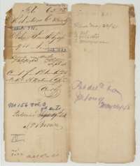 File jacketFile jacket for John Smith's bounty warrant for 960 acres in Navarro County, listing the certificate, field notes and conveyance; patented 8 October 1846.General Land Office, file 63, page 1 · in the scan
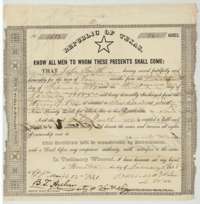 CertificateRepublic of Texas bounty warrant No. 1583 for 960 acres, issued at Houston to John Smith for ten months' army service, 14 February 1837 to 1 January 1838.General Land Office, file 63, page 2 · in the scan
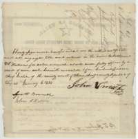 Back of the certificateBack of the warrant, where John Smith signed it over to Nathaniel H. Watrous on 6 January 1838, with witnesses.General Land Office, file 63, page 3 · in the scan
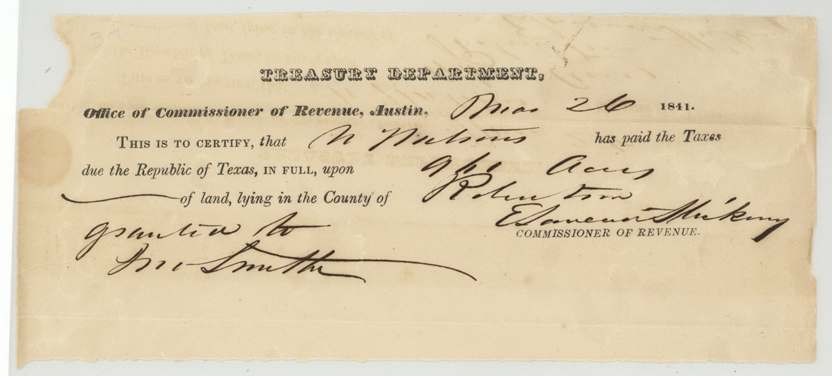
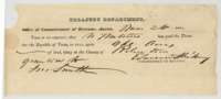 ReceiptTreasury Department receipt of 1841 showing that N. Watrous paid the Republic of Texas taxes due on 960 acres of land in Robertson County granted to John Smith.General Land Office, file 63, page 4 · in the scan
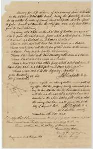 Field notesField notes for 960 acres on the waters of Richland Creek surveyed for N. H. Watrous by deputy surveyor James Scofield, 11 December 1840.General Land Office, file 63, page 5 · in the scan
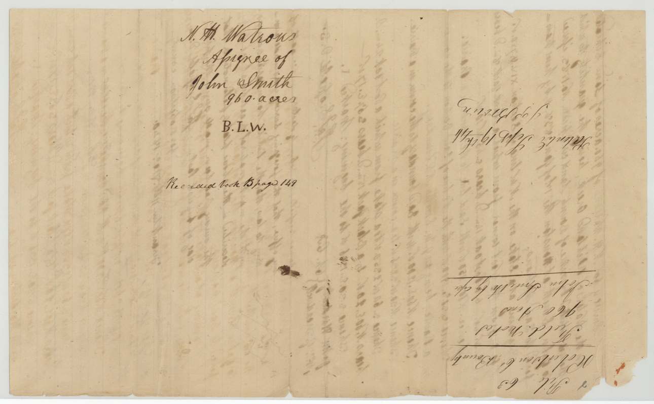
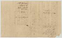 WrapperFolded wrapper for the field notes of N. H. Watrous, assignee of John Smith, 960 acres, recorded in Book B, page 148.General Land Office, file 63, page 6 · in the scan
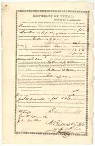 TransferDeed of 6 January 1838 in which John Smith sells his 960-acre bounty land to Nathaniel H. Watrous for $1,000, signed at Houston before Andrew Briscoe.General Land Office, file 63, page 7 · in the scan
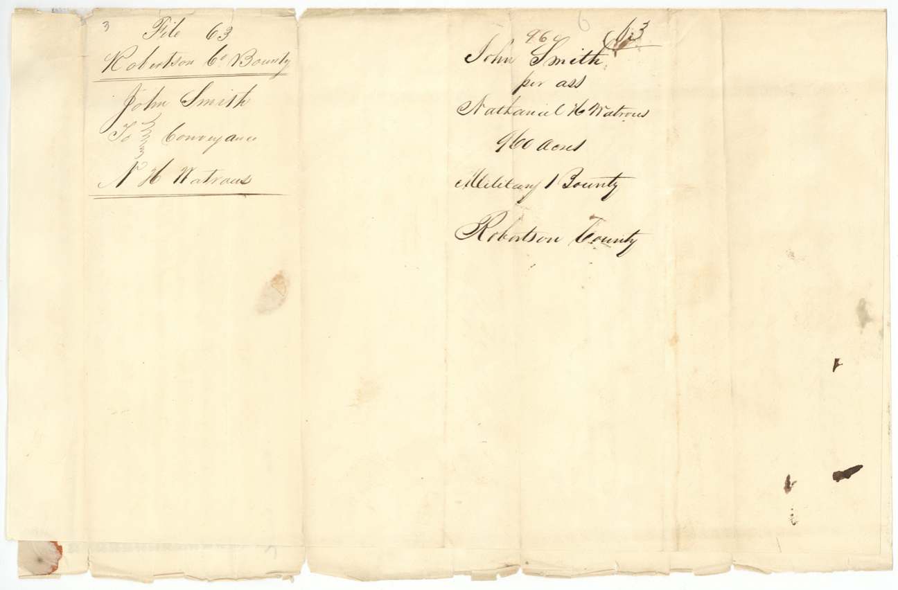
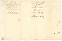 WrapperWrapper for the conveyance from John Smith to Nathaniel H. Watrous of a 960-acre military bounty in Robertson County.General Land Office, file 63, page 8 · in the scan
Scans courtesy of the Texas General Land Office, Austin, from its Land Grant Database.
Neighbouring surveys
Sources
- Texas General Land Office, Land Grant Database: Navarro County, Abstract 771
- The Land Office file, scanned (PDF, at the General Land Office)
- 1924 map: courtesy of the Texas General Land Office, Austin, Map 73249, used under licence. Topo: U.S. Geological Survey, The National Map. Aerial photographs: U.S. Department of Agriculture, National Agriculture Imagery Program, 2012, 2018 and 2022. Survey outlines: Railroad Commission of Texas, Original Texas Land Survey. Grant records and files: Texas General Land Office.