Blackland TX · ← All the original surveys
James M. Smith Survey, Abstract 720
- Granted to
- James M. Smith
- Kind of grant
- Headright, first classLand for settlers who were in Texas before independence, 2 March 1836.
- Land Office file
- Robertson 1st class, file 267
- Certificate
- No. 298
- Acres
- 4428.40
- Patented to
- James M. Smith
- Patent
- 05 Nov 1845 · No. 236, Vol. 3
Tap a survey to open its page.
What the file shows
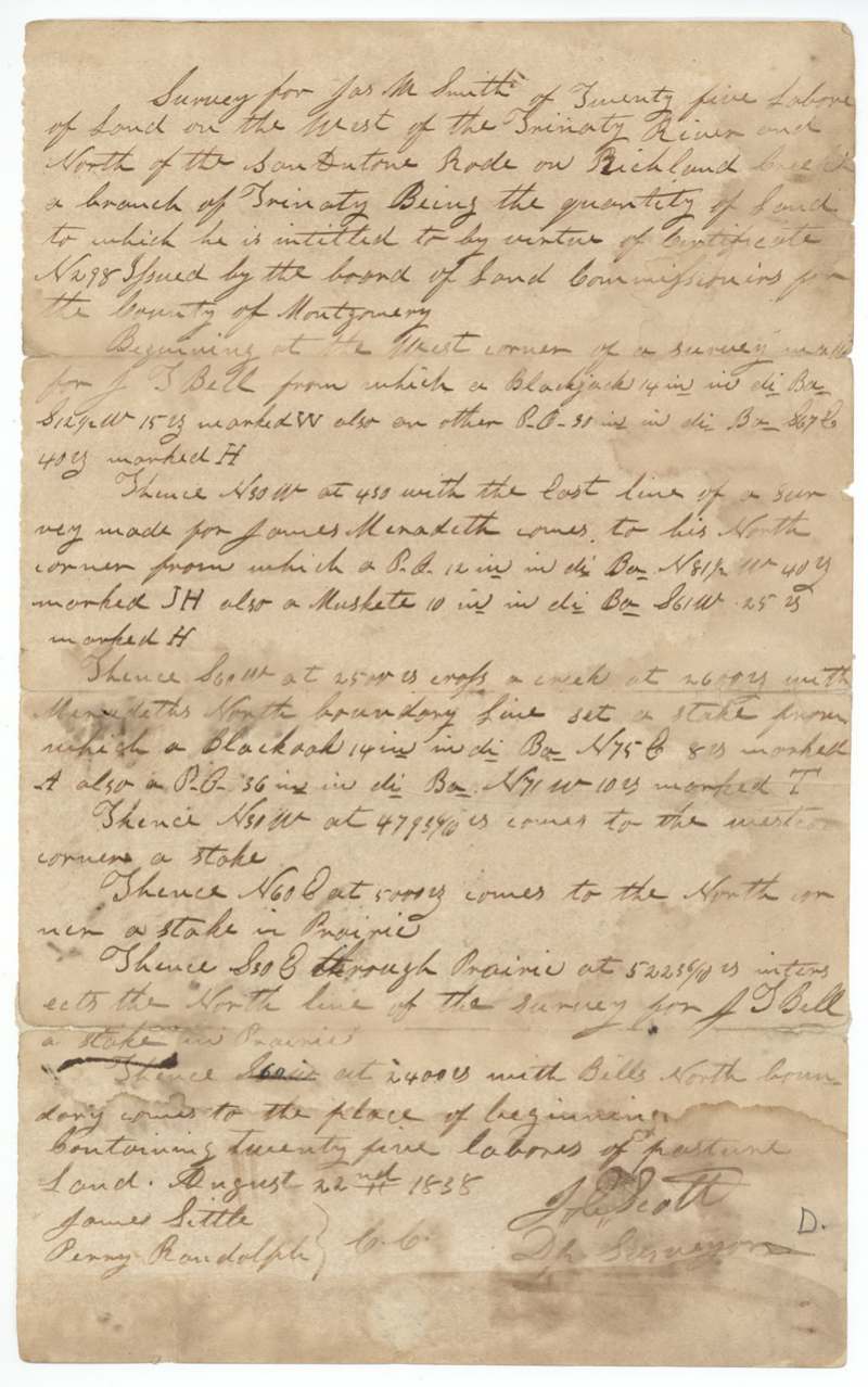
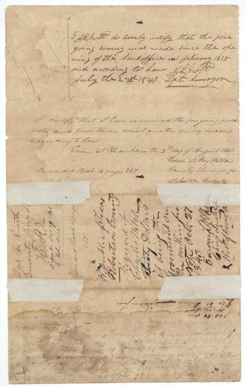
James M. Smith proved to the Montgomery County land board that he had arrived in Texas in December 1835 as a married man, and on 16 March 1838 received first-class headright certificate No. 298 for a league of land. Deputy surveyor J. H.(?) Scott laid the whole league — 25 labors of pasture land — on Richland Creek west of the Trinity and north of the San Antonio Road on 22 August 1838, adjoining the James Meredith and J. T. Bell surveys. The notes were approved at Franklin in August 1840 and deposited by John Welch; Charles Welch paid the $60 in government dues in two instalments in 1842 and 1843. Smith was patented in his own name on 5 November 1845 (No. 236, Vol. 3).
The certificate
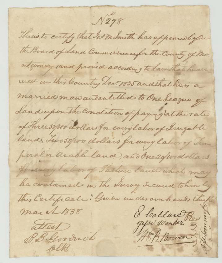
headright 1st class, No. 298, one league (this survey: 25 labors of pasture land), Board of Land Commissioners for the County of Montgomery — E. Collard, President; Jesse Parker and Wm. R. Bowen, Associate Commissioners; attest P. B. Goodrich, Clerk, Montgomery County, 16 Mar 1838.
Jas. M. Smith proved according to law that he arrived in this country in December 1835 and is a married man, entitled to one league
The survey
1838-08-22 (Scott certified 1840-07-02 that it was made since the opening of the land office in February 1838), J. H.(?) Scott.
West of the Trinity River and north of the San Antonio Road, on Richland Creek, a branch of the Trinity [Robertson County]
Chain carriers: James Little, Perry Randolph.
Book C, page 247
The patent
5 Nov 1845, No. 236, Vol. 3, to James M. Smith.
Also in the file
- The government dues on this league — $60 at the pasture-land rate — were paid in two halves a year apart by Charles Welch, the first half in government paper (a Treasury warrant issued to another man).
- James Meredith already had a survey on the creek in 1838 that this one calls for; the Meredith half-labor in Abstract 511 was surveyed later (1844), so the Merediths appear to have had more than one tract here.
- Surveyed in August 1838, but the surveyor did not certify the work until July 1840, and the patent came in November 1845 — seven years after survey.
Timeline
- Dec 1835James M. Smith arrives in Texas (as proved to the board)
- 16 Mar 1838Montgomery County land board issues certificate No. 298 for one league to Smith as a married man
- 22 Aug 1838J. H.(?) Scott surveys 25 labors on Richland Creek between the Meredith and Bell surveys
- 2 Jul 1840Scott certifies the survey was made after the land office opened in Feb. 1838
- 3 Aug 1840County Surveyor Edwin LeRoy Patton approves the field notes at Franklin; recorded Book C p. 247
- 29 Dec 1840Papers deposited by John Welch
- 7 Nov 1842Charles(?) Welch pays $30 of the $60 government dues in government paper
- 27 Oct 1843Charles Welch pays the balance; receipt by E. L. R. Patton, Chief Justice
- 5 Nov 1845Patent No. 236, Vol. 3, to James M. Smith
The papers in the file
Every page of the Land Office file, in the order the Land Office keeps them (7 pages). Tap a page to see it larger.
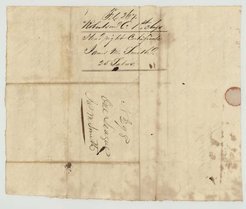
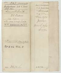 File jacketFile jacket for James M. Smith's one-league headright of 25 labors, with the patent note of 5 November 1845.General Land Office, file 267, page 1 · in the scan
 CertificateMontgomery County headright certificate No. 298 of 16 March 1838 entitling James M. Smith to one league of land.General Land Office, file 267, page 2 · in the scan
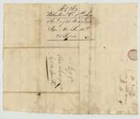 Back of the certificateBack of the certificate, folded and labelled as the headright certificate of James M. Smith, 25 labors.General Land Office, file 267, page 3 · in the scan
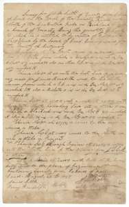 Field notesField notes of 25 labors on Richland Creek surveyed for James M. Smith by deputy surveyor Scott, 22 August 1838.General Land Office, file 267, page 4 · in the scan
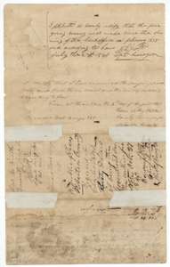 Surveyor's certificateEnd of the Smith field notes, with the surveyor's certificate, County Surveyor Edwin LeRoy Patton's examination of 3 August 1840 and receipts for government dues.General Land Office, file 267, page 5 · in the scan
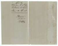 WrapperWrapper for the Smith field notes of 25 labors, with the patent note of 5 November 1845.General Land Office, file 267, page 6 · in the scan
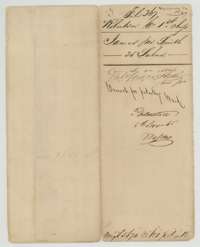 WrapperWrapper for the Smith headright certificate, with map-check and patent notes of November 1845.General Land Office, file 267, page 7 · in the scan
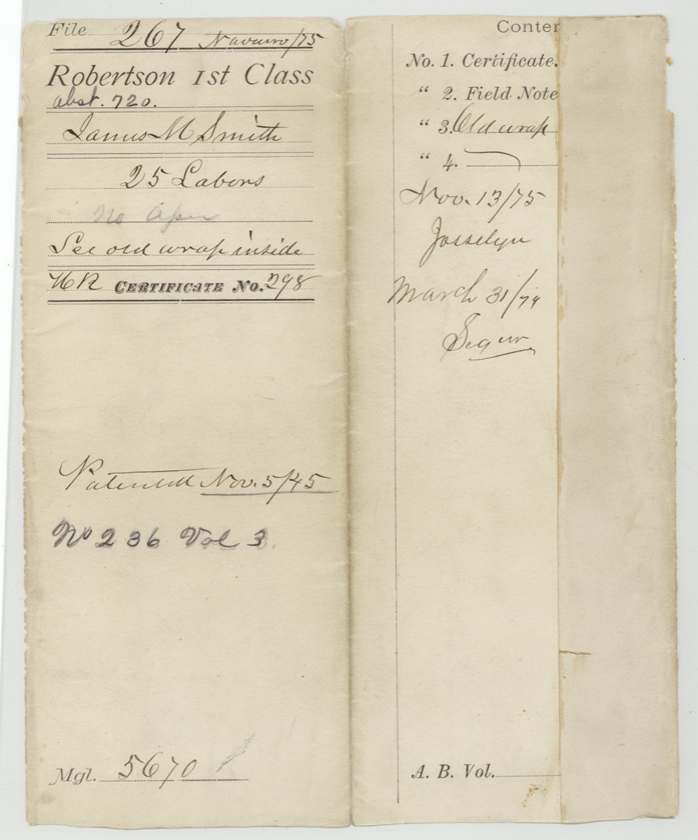
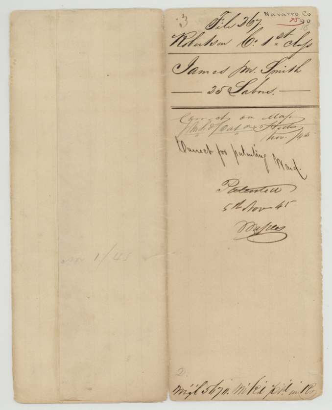
Scans courtesy of the Texas General Land Office, Austin, from its Land Grant Database.
Neighbouring surveys
Sources
- Texas General Land Office, Land Grant Database: Navarro County, Abstract 720
- The Land Office file, scanned (PDF, at the General Land Office)
- 1924 map: courtesy of the Texas General Land Office, Austin, Map 73249, used under licence. Topo: U.S. Geological Survey, The National Map. Aerial photographs: U.S. Department of Agriculture, National Agriculture Imagery Program, 2012, 2018 and 2022. Survey outlines: Railroad Commission of Texas, Original Texas Land Survey. Grant records and files: Texas General Land Office.