Blackland TX · ← All the original surveys
Benjamin S. Vivion Survey, Abstract 817
- Granted to
- Benjamin S. Vivion
- Kind of grant
- Bounty warrantLand paid for service in the army of the Republic.
- Land Office file
- Robertson Bounty, file 135
- Certificate
- No. 2527
- Acres
- 320
- Patented to
- Benjamin S. Vivion
- Patent
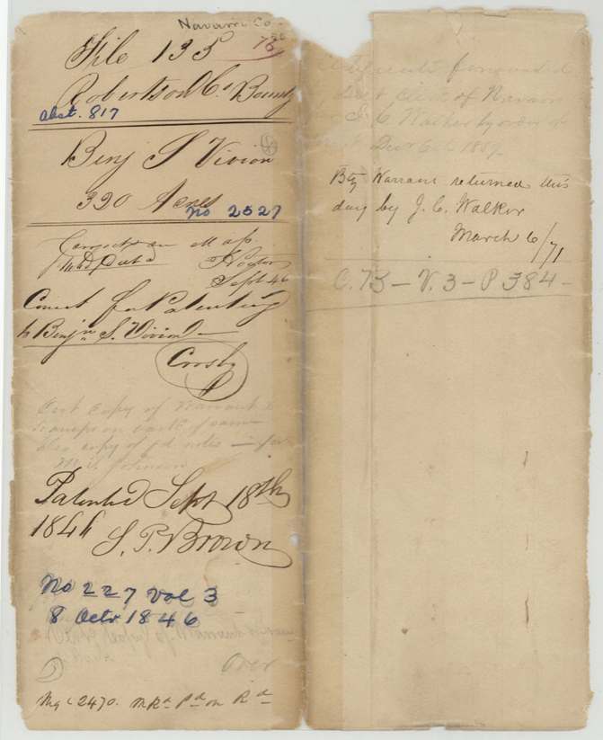
- 08 Oct 1846 · No. 227, Vol. 3
Tap a survey to open its page.
What the file shows
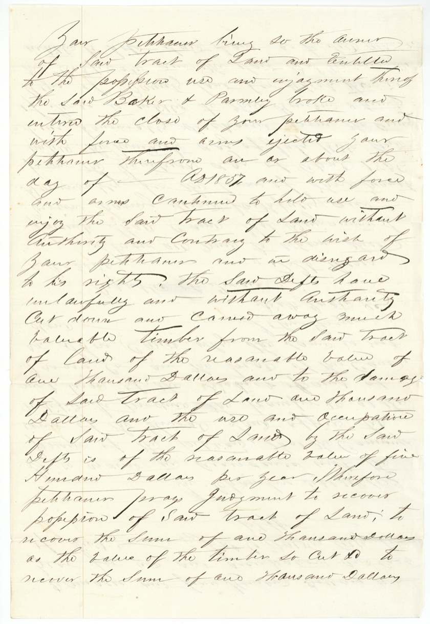
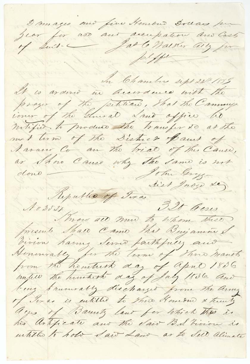
Benjamin S. Vivion served three months in the Army of Texas in the spring and summer of 1836 and received 320-acre bounty certificate No. 2527 at Houston on March 3, 1838. Seven weeks later in San Augustine County he sold it to Thomas Wright for $100, but the sale was never proven before an officer. James Scofield surveyed the land on the waters of Richland Creek in December 1841, and the patent issued in Vivion's name in 1846 (No. 227, Vol. 3). In 1859 Wright sued Samuel Parmeley and Ozias Baker in Navarro District Court for throwing him off the land and cutting its timber, and had the original certificate pulled from the Land Office as evidence; it was not returned until 1871.
The certificate
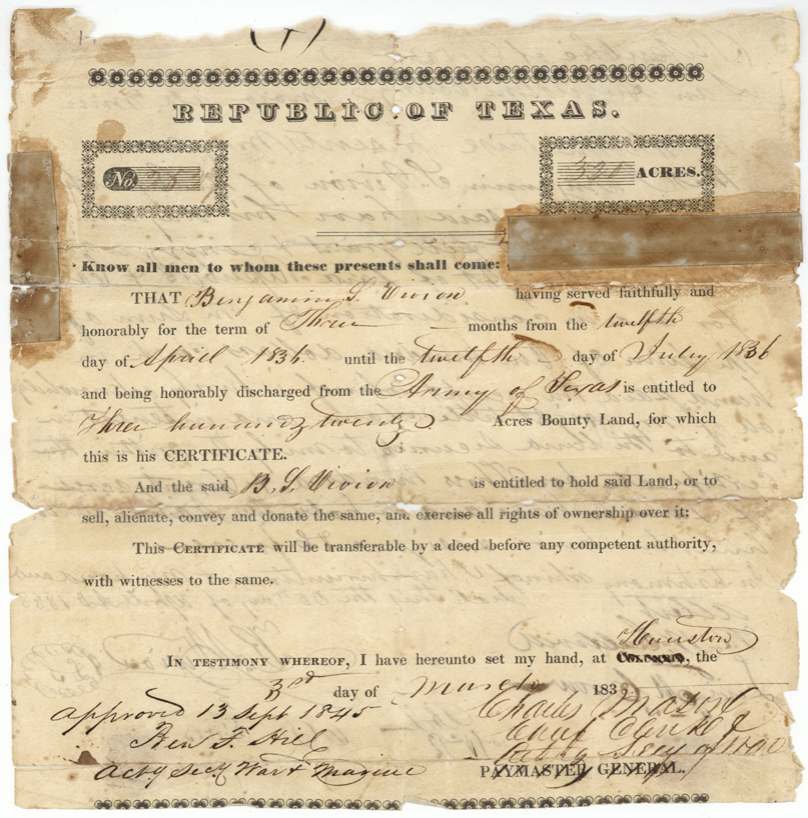
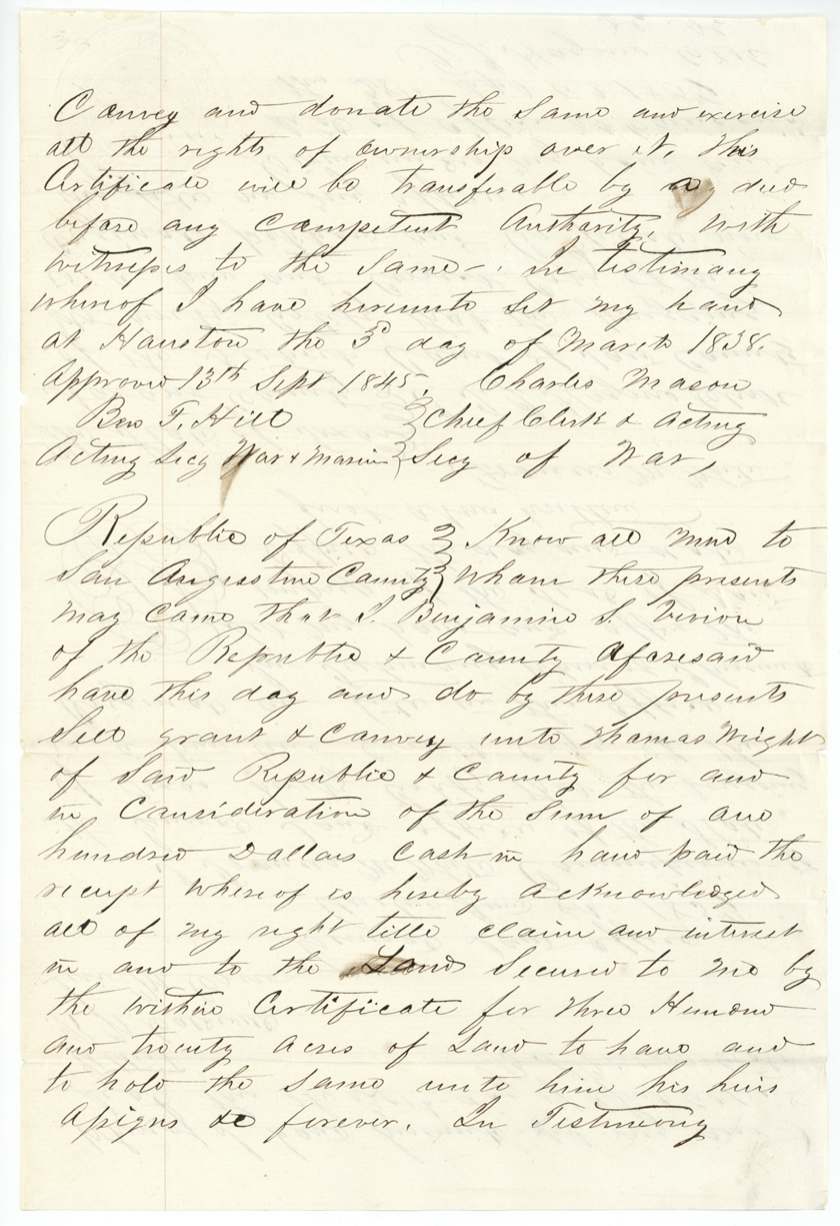
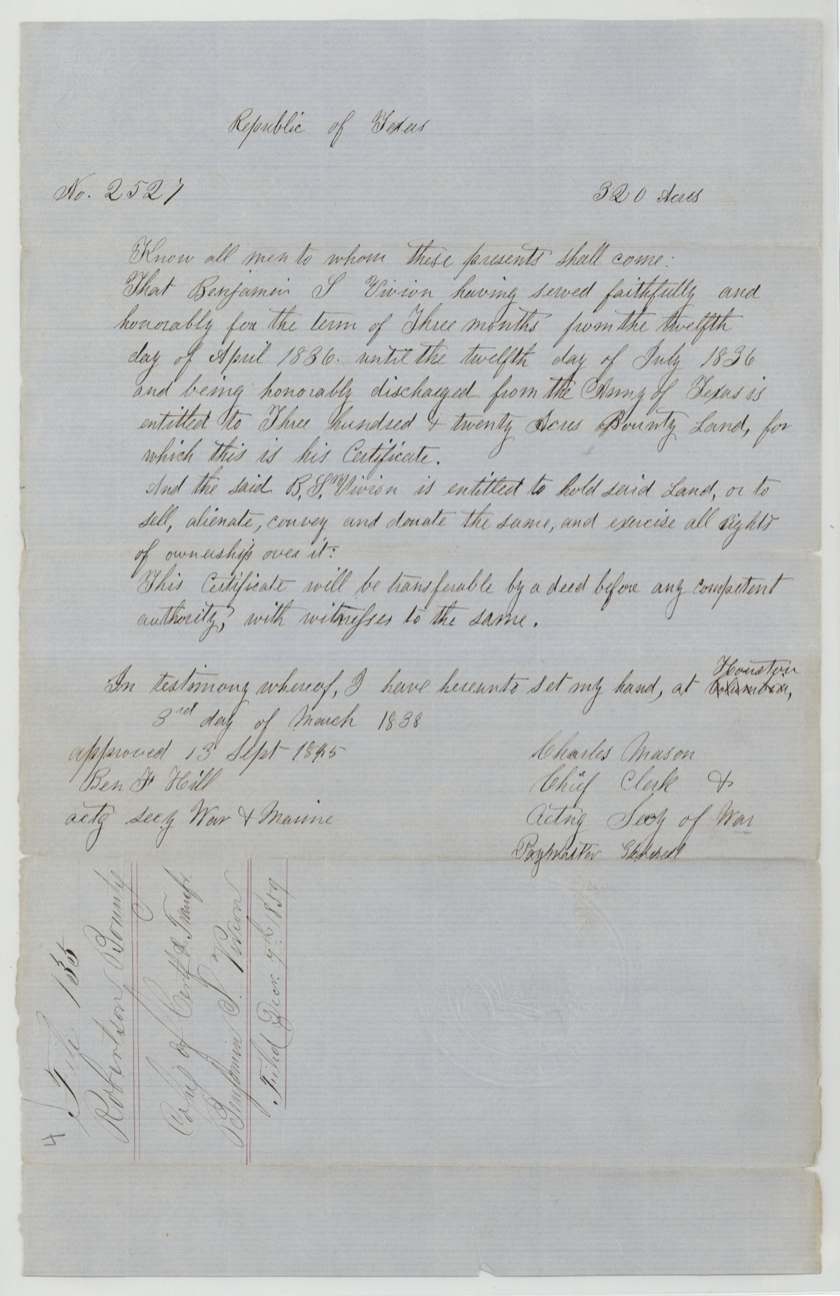
bounty, No. 2527, 320 acres, Charles Mason, Chief Clerk and Acting Secretary of War (printed form signed as Paymaster General); approved 13 Sept 1845 by Ben F. Hill, Acting Secretary of War & Marine, Houston, 3 Mar 1838.
Served faithfully and honorably in the Army of Texas for three months, from 12 April 1836 to 12 July 1836, and honorably discharged
Changes of hand
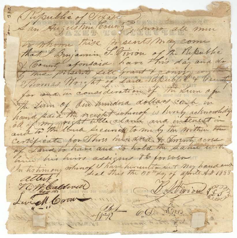
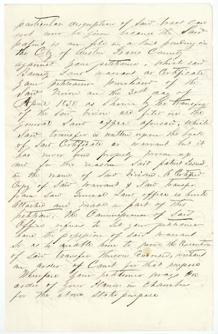
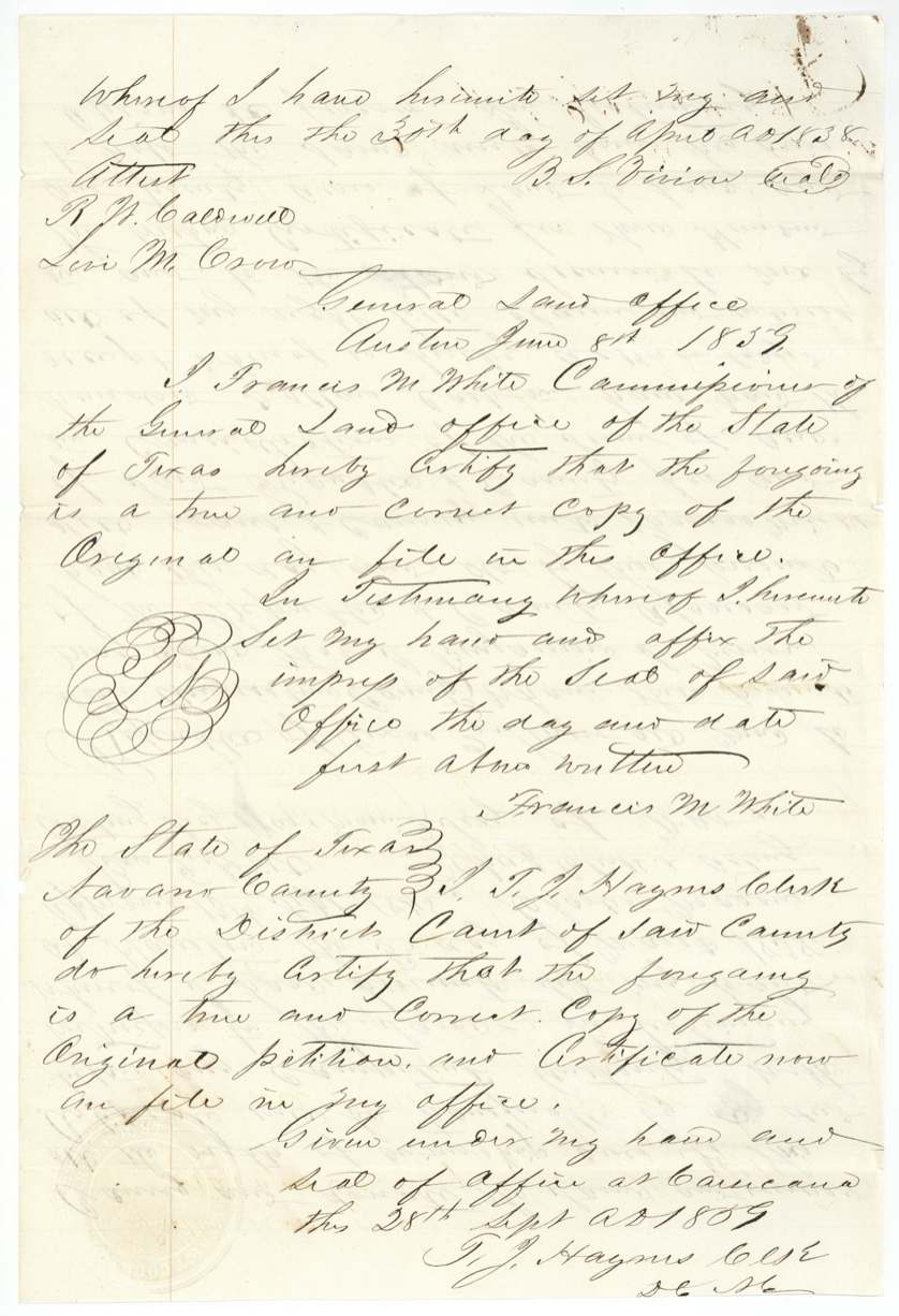
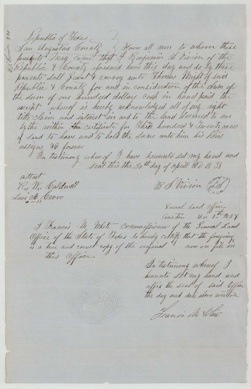
- 30 Apr 1838Benjamin S. Vivion, of San Augustine County → Thomas Wright, of San Augustine County, $100 cash, San Augustine County, Republic of Texas. Written on the back of the certificate. Per the 1859 petition it was 'never properly proven up', which is why the patent went to Vivion rather than Wright.
The survey
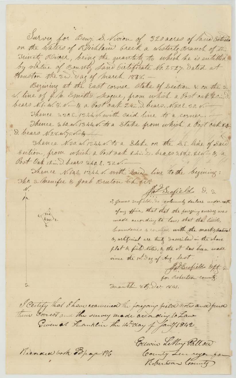
1841-12-08 (sworn at Franklin; examined 1842-01-14), James Scofield, Deputy Surveyor for Robertson County.
On the waters of Richland Creek, a westerly branch of the Trinity River (then Robertson County, now Navarro)
Chain carriers: Thos. S. Menifee, Joab Bruton.
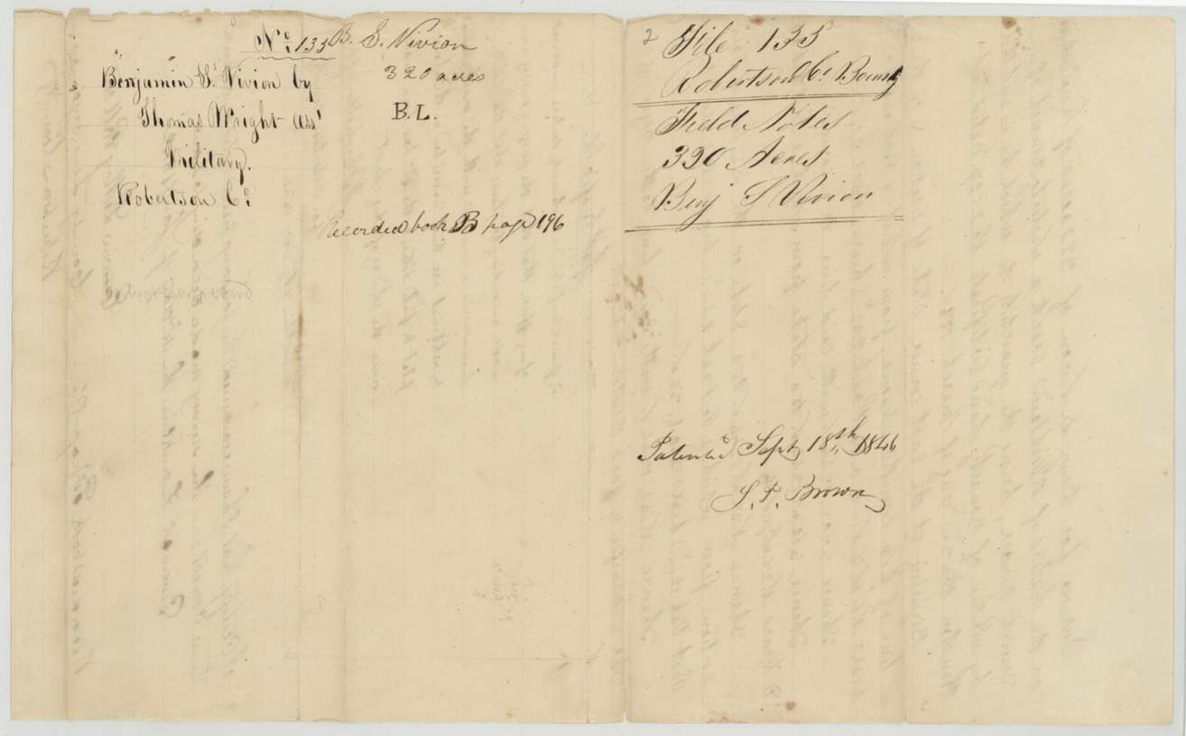
Book B, page 196 (Robertson County)
The patent
1846-09-18 (wrapper, signed S. P. Brown); blue note and 1859 petition give 8 October 1846, No. 227, Vol. 3, to Benjamin S. Vivion, delivered to not stated.
Also in the file
- Vivion sold his bounty certificate to Thomas Wright for $100 within two months of receiving it, but the sale was only witnessed, never proven before an officer, so the land was patented in 1846 in Vivion's name, not Wright's.
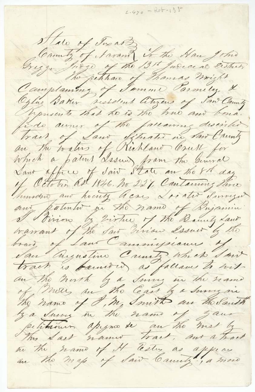
- Twenty years later this paperwork gap turned into a lawsuit: Wright said Samuel Parmeley and Ozias Baker forcibly threw him off the land in 1857 and cut $1,000 worth of timber; he had to get a district judge to order the Land Commissioner to send the original certificate to Corsicana as evidence.
- The original warrant left the Land Office in December 1859 and did not come back until March 1871 — it spent the whole Civil War and Reconstruction in Navarro County court hands.
- The petition calls it a warrant issued by 'the board of land commissioners of San Augustine County', but the certificate itself was issued by the Secretary of War at Houston; San Augustine is only where the sale took place.
- The certificate was dated 1838 but only 'approved' by the Acting Secretary of War in September 1845 — part of the Republic's late audit of bounty claims.
- The wrapper gives the patent date as Sept 18, 1846, while the blue note and the 1859 petition both say Oct 8, 1846.
- The petition mentions a separate suit pending against Wright in Travis County in which the patent itself was an exhibit.
Timeline
- 12 Apr 1836Vivion begins three months' service in the Army of Texas
- 12 Jul 1836Service ends; honorably discharged
- 3 Mar 1838Bounty certificate No. 2527 for 320 acres issued at Houston
- 30 Apr 1838Vivion sells certificate to Thomas Wright for $100 in San Augustine County
- 8 Dec 1841James Scofield surveys 320 acres on Richland Creek waters
- 14 Jan 1842Field notes examined by E. L. Patton at Franklin; recorded Book B p. 196
- 13 Sep 1845Certificate approved by Acting Secretary of War Ben F. Hill
- 18 Sep 1846Patent No. 227, Vol. 3 to B. S. Vivion (petition gives Oct 8, 1846)
- 1857Wright says Parmeley and Baker ejected him by force and cut timber
- 22 Sep 1859Judge John Gregg orders GLO to produce the certificate and transfer
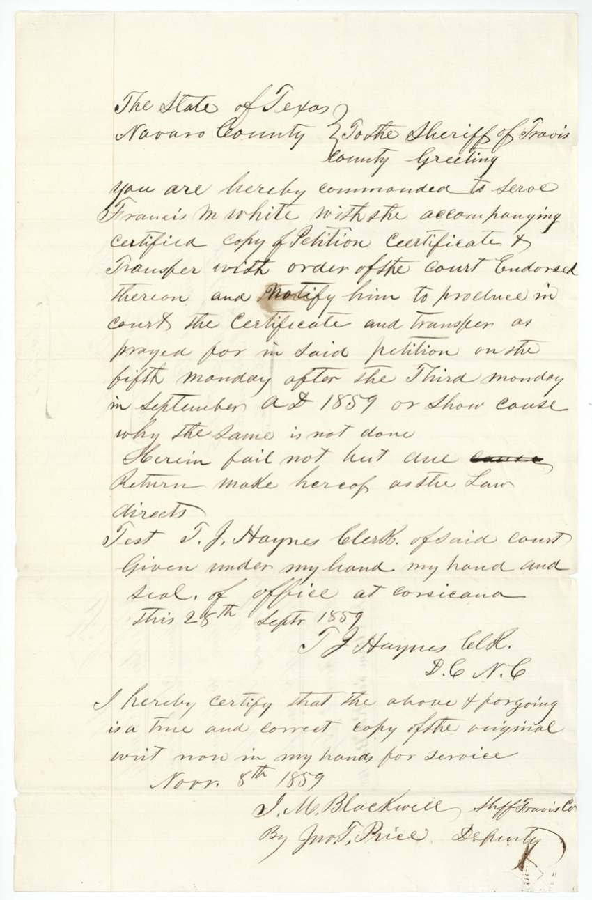
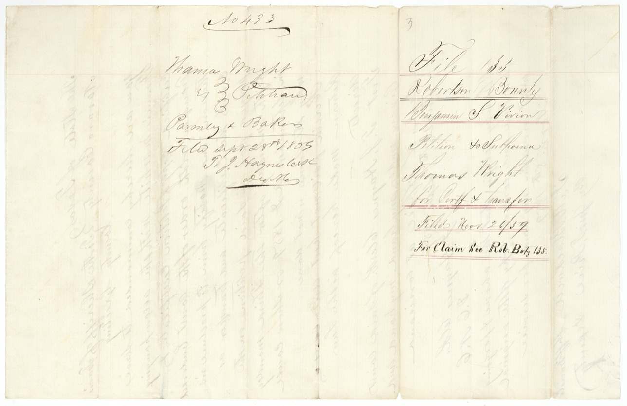
- 28 Sep 1859Wright's petition filed in Navarro District Court (Case 453); writ issued to Travis sheriff
- 8 Nov 1859Writ in hand of Travis County sheriff for service on Commissioner White
- 6 Dec 1859Original certificate forwarded to Navarro district clerk via J. C. Walker
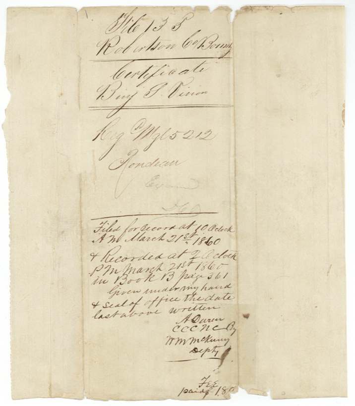
- 21 Mar 1860Certificate recorded in Navarro County, Book B p. 361
- 6 Mar 1871Bounty warrant returned to the GLO by J. C. Walker
The papers in the file
Every page of the Land Office file, in the order the Land Office keeps them (16 pages). Tap a page to see it larger.
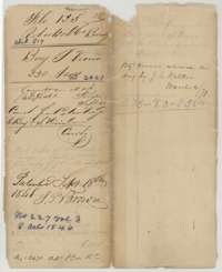 WrapperOuter wrapper for Benjamin S. Vivion's 320-acre bounty file, with the patent entry of September 1846, No. 227, Volume 3.General Land Office, file 135, page 1 · in the scan
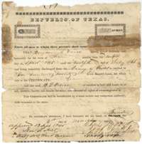 CertificateRepublic of Texas bounty certificate No. 2527 for 320 acres, issued at Houston on 3 March 1838 to Benjamin S. Vivion for three months' service in 1836.General Land Office, file 135, page 2 · in the scan
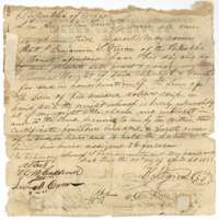 Back of the certificateBack of the bounty certificate, where Benjamin S. Vivion sold his right to Thomas Wright on 30 April 1838 for 100 dollars.General Land Office, file 135, page 3 · in the scan
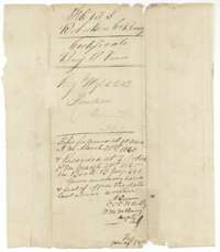 File jacketJacket for the certificate, with a note that it was recorded in Navarro County deed records on 21 March 1860.General Land Office, file 135, page 4 · in the scan
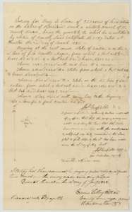 Field notesField notes and plat for 320 acres on Richland Creek, surveyed for Benjamin S. Vivion by James Scofield, sworn at Franklin 8 December 1841.General Land Office, file 135, page 5 · in the scan
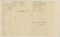 DocketBack of the field notes, with the docket for Benjamin S. Vivion by Thomas Wright, assignee, and the patent entry of September 1846.General Land Office, file 135, page 6 · in the scan
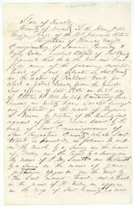 Other papersOpening of Thomas Wright's 1859 petition to the Navarro County district court, claiming the Vivion land on Richland Creek.General Land Office, file 135, page 7 · in the scan
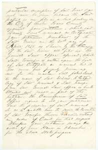 Other papersWright's petition continues, saying the transfer was never proven and the land office would not release the certificate without a court order.General Land Office, file 135, page 8 · in the scan
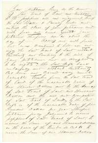 Other papersWright's petition continues, claiming he was forced off the land in 1857 and that timber was cut, and asking for damages.General Land Office, file 135, page 9 · in the scan
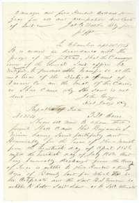 Other papersEnd of the petition and Judge John Gregg's order of 22 September 1859 that the land office produce the transfer, with the start of a copied certificate.General Land Office, file 135, page 10 · in the scan
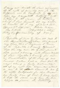 Other papersCertified copy of the Vivion bounty certificate and the transfer of 30 April 1838 to Thomas Wright, with the approval of 13 September 1845.General Land Office, file 135, page 11 · in the scan
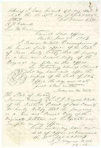 Other papersGeneral Land Office certification of the copied papers, and the district clerk's certificate of 28 September 1859 that the petition copy is true.General Land Office, file 135, page 12 · in the scan
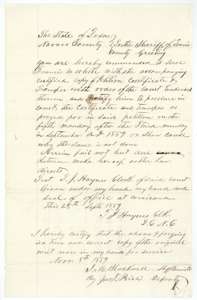 Other papersWrit to the sheriff of Travis County, issued at Corsicana in September 1859, to serve the land commissioner and require the certificate and transfer in court.General Land Office, file 135, page 13 · in the scan
 DocketDocket for the case of Thomas Wright against Parmeley and Baker, petition filed 28 September 1859, with the land office note.General Land Office, file 135, page 14 · in the scan
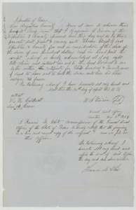 TransferLand office certified copy, dated 7 December 1859, of Benjamin S. Vivion's transfer of 30 April 1838 selling his bounty right to Thomas Wright.General Land Office, file 135, page 15 · in the scan
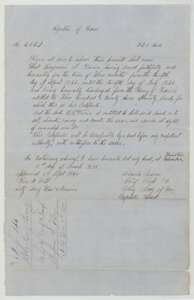 CertificateCopy of bounty certificate No. 2527 for Benjamin S. Vivion, 320 acres, with a docket marking it filed 7 December 1859.General Land Office, file 135, page 16 · in the scan
Scans courtesy of the Texas General Land Office, Austin, from its Land Grant Database.
Neighbouring surveys
Sources
- Texas General Land Office, Land Grant Database: Navarro County, Abstract 817
- The Land Office file, scanned (PDF, at the General Land Office)
- 1924 map: courtesy of the Texas General Land Office, Austin, Map 73249, used under licence. Topo: U.S. Geological Survey, The National Map. Aerial photographs: U.S. Department of Agriculture, National Agriculture Imagery Program, 2012, 2018 and 2022. Survey outlines: Railroad Commission of Texas, Original Texas Land Survey. Grant records and files: Texas General Land Office.