Blackland TX · ← All the original surveys
John H. Mills Survey, Abstract 595
- Granted to
- John H. Mills
- Kind of grant
- Bounty warrantLand paid for service in the army of the Republic.
- Land Office file
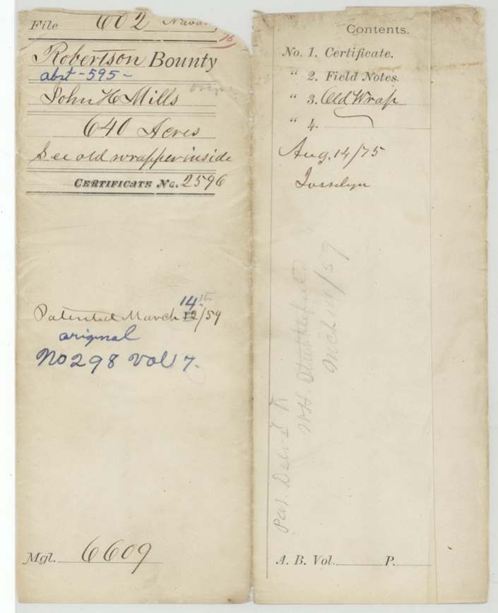
- Robertson Bounty, file 602
- Certificate
- No. 2596
- Acres
- 640
- Patented to
- John H. Mills
- Patent
- 14 Mar 1859 · No. 298, Vol. 7
Tap a survey to open its page.
What the file shows
John H. Mills served six months in the Army of Texas, 1 June to 1 December 1836, and was issued bounty warrant No. 2596 for 640 acres at Houston on 9 March 1838 by acting Secretary of War Charles Mason. Deputy surveyor James Scofield located it in late 1840 on Richland Creek, adjoining J. M. Smith, with Wm. J. Treadwell and Noah McCuistion carrying chain, and Robertson County surveyor Edwin LeRoy Patton recorded it in Book B p. 172 in June 1841. The papers did not reach the GLO until August 1853; with no transfer on file, the patent (No. 298 Vol. 7) issued to Mills himself in March 1859 and was delivered to W. H. Stubblefield(?).
The certificate
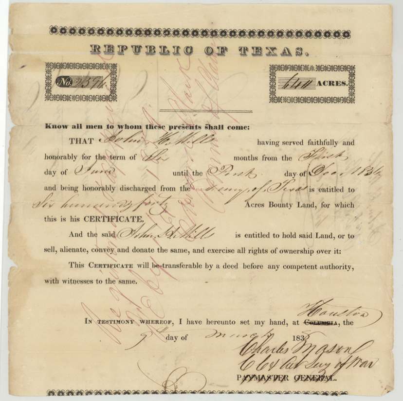
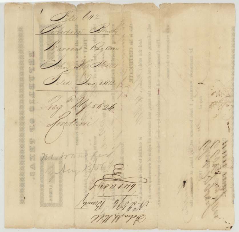
bounty, No. 2596, 640 acres, Charles Mason, Chf Clk & Act. Secy of War, signing on the Paymaster General's printed form, Houston ('Columbia' struck through on the printed form), 1838-03-09 (year on the certificate obscured after '183'; field notes give 9 March 1838).
John H. Mills served faithfully and honorably for six months, from 1 June until 1 December 1836, and was honorably discharged from the Army of Texas.
The survey
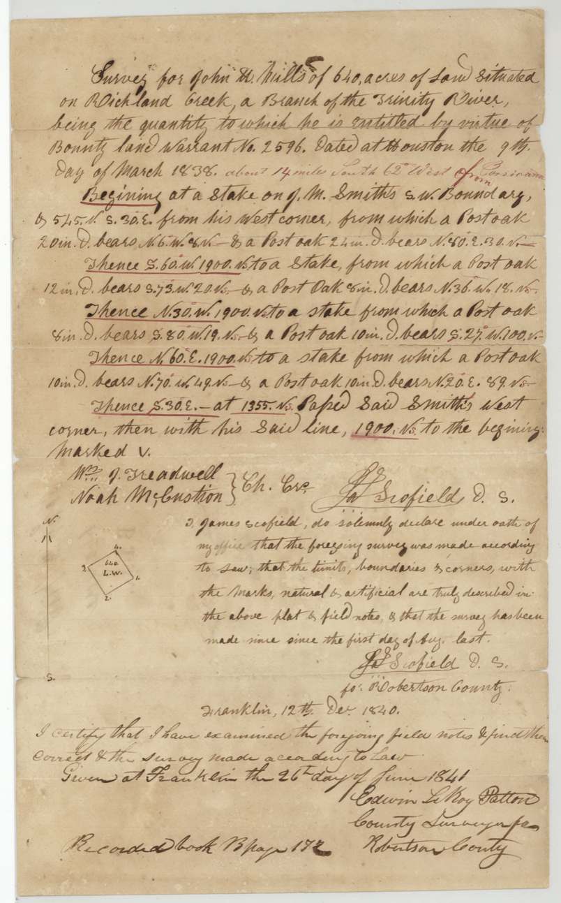
between 1 Aug 1840 and 12 Dec 1840 (oath at Franklin 1840-12-12 says survey made since 1 Aug last), James Scofield.
640 acres on Richland Creek, a branch of the Trinity River; 'about 14 miles South 62 West from Corsicana' added later in another ink; begins at a stake on J. M. Smith's SW boundary, 545 vrs S30E from his west corner
Chain carriers: Wm. J. Treadwell, Noah McCuistion.
Book B, page 172
The patent
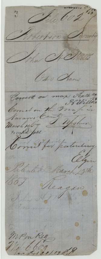
1859-03-12 (old wrapper; modern jacket alters 12 to 14), No. 298, Vol. 7, to John H. Mills, original grantee, delivered to W. H. Stubblefield(?), March 14/59 (pencil 'Pat. Del'd to ...').
Also in the file
- Eighteen-plus years from warrant (1838) to patent (1859); survey done in 1840 but papers not filed at the GLO until 1 Aug 1853.
- Certificate printed for issue at Columbia; 'Columbia' struck and 'Houston' written in — the capital had moved.
- Patent date conflict: 12 March 1859 on the old wrapper vs 14 March on the modern jacket (which is also the delivery date).
- Location 'about 14 miles S 62 W from Corsicana' added later — Corsicana did not exist when the land was surveyed in 1840.
- 'No transfer' noted 1858 — patented to the soldier himself.
Timeline
- 1 Jun 1836John H. Mills begins six months' service in the Army of Texas
- 1 Dec 1836Service ends; honorably discharged
- 9 Mar 1838Bounty warrant No. 2596 for 640 acres issued at Houston by Charles Mason, acting Secretary of War
- 1840James Scofield surveys 640 acres on Richland Creek (after 1 Aug)
- 12 Dec 1840Scofield's oath at Franklin
- 26 Jun 1841County Surveyor Edwin LeRoy Patton approves; recorded Book B p. 172
- 1 Aug 1853Warrant and field notes filed at GLO
- 29 Sep 1856Correct on map (Wilke?)
- 13 Aug 1858'No transfer' noted on warrant
- 10 Mar 1859Correct on map of Navarro County (Upshur?)
- 12 Mar 1859Patent No. 298 Vol. 7 to John H. Mills
- 14 Mar 1859Patent delivered to W. H. Stubblefield(?)
The papers in the file
Every page of the Land Office file, in the order the Land Office keeps them (6 pages). Tap a page to see it larger.
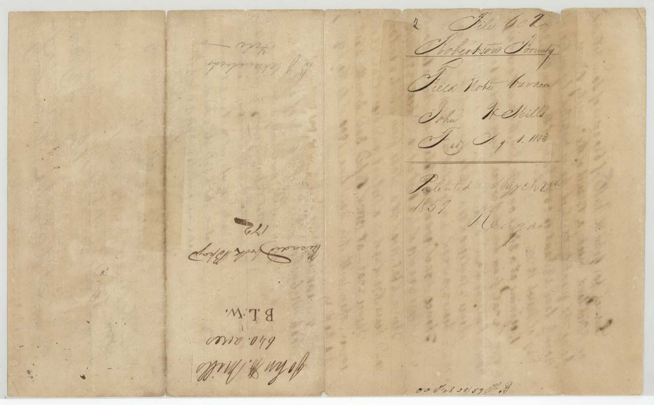
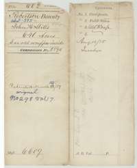 File jacketFile jacket for John H. Mills's 640-acre Robertson bounty claim, certificate No. 2596, patented March 1859.General Land Office, file 602, page 1 · in the scan
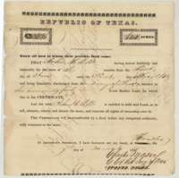 CertificateRepublic of Texas bounty land certificate No. 2596 issued at Houston on 9 March 1838 to John H. Mills for six months' army service, 640 acres.General Land Office, file 602, page 2 · in the scan
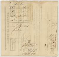 Back of the certificateBack of the certificate, with Land Office registry notes and the note of 13 August 1858 that no transfer was recorded.General Land Office, file 602, page 3 · in the scan
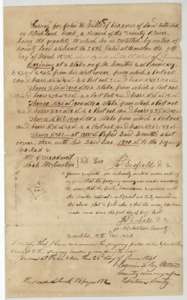 Field notesField notes and plat for 640 acres on Richland Creek, surveyed for John H. Mills by deputy surveyor James Scofield in 1840 and approved 26 June 1841.General Land Office, file 602, page 4 · in the scan
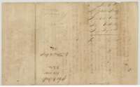 WrapperOld wrapper for the field notes of John H. Mills's 640 acres, filed at the Land Office 1 August 1853.General Land Office, file 602, page 5 · in the scan
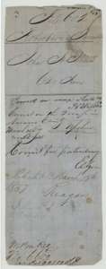 WrapperEarlier file wrapper for the Mills claim, with map-check notes and the patent endorsement of March 1859.General Land Office, file 602, page 6 · in the scan
Scans courtesy of the Texas General Land Office, Austin, from its Land Grant Database.
Neighbouring surveys
Sources
- Texas General Land Office, Land Grant Database: Navarro County, Abstract 595
- The Land Office file, scanned (PDF, at the General Land Office)
- 1924 map: courtesy of the Texas General Land Office, Austin, Map 73249, used under licence. Topo: U.S. Geological Survey, The National Map. Aerial photographs: U.S. Department of Agriculture, National Agriculture Imagery Program, 2012, 2018 and 2022. Survey outlines: Railroad Commission of Texas, Original Texas Land Survey. Grant records and files: Texas General Land Office.