Blackland TX · ← All the original surveys
E. Quimley Survey, Abstract 670
- Granted to
- E. Quimley
- Kind of grant
- Bounty warrantLand paid for service in the army of the Republic.
- Land Office file
- Robertson Bounty, file 112
- Certificate
- No. 2514
- Acres
- 640
- Patented to
- E. Quimley
- Patent
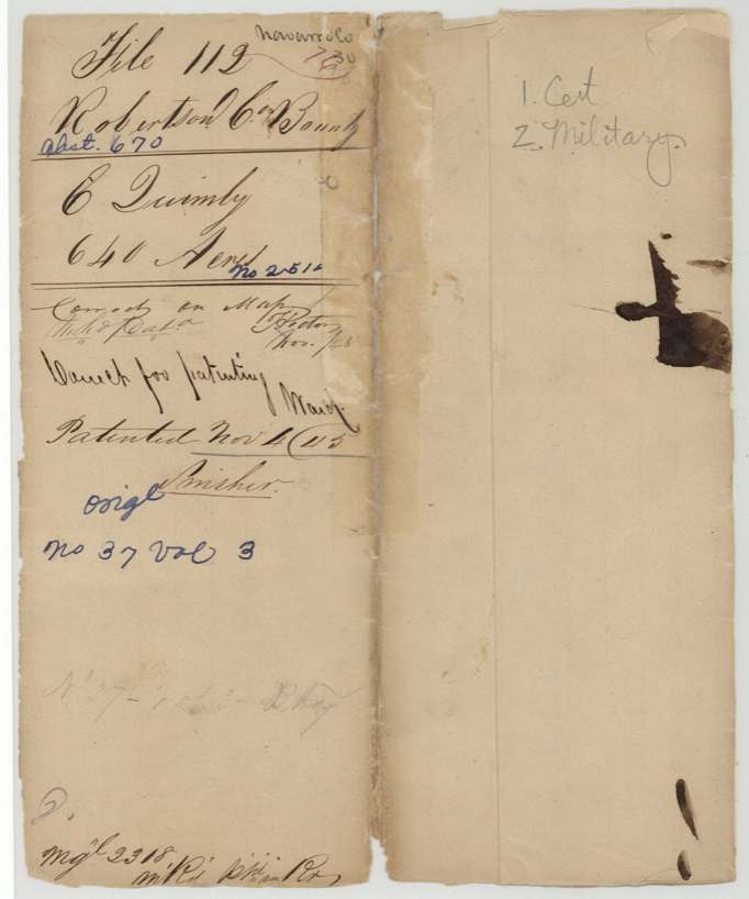
- 04 Nov 1845 · No. 37, Vol. 3
Tap a survey to open its page.
What the file shows
E. Quimby served in the Army of Texas from 20 April to 17 November 1836 and on 1 March 1838 received bounty certificate No. 2514 for 640 acres at Houston, signed by acting Secretary of War Charles Mason. Deputy surveyor James Scofield located it on the Post Oak fork of Richland Creek, starting from J. M. Smith's corner on Section No. V, and signed the field notes at Franklin on 1 Feb 1841; they were recorded in Robertson County Book B p. 190. The certificate was approved in September 1845 and the land was patented to Quimby himself on 4 Nov 1845 (No. 37, Vol. 3).
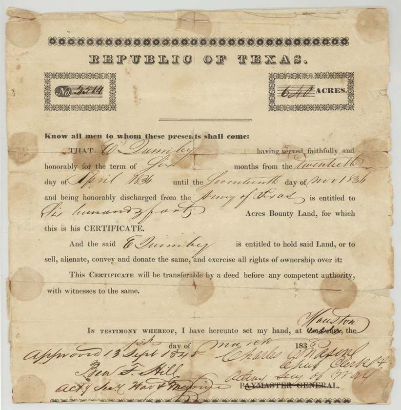
The certificate
bounty, No. 2514, 640 acres, Charles Mason, Chief Clerk & Acting Secretary of War, Republic of Texas (printed 'Paymaster General' struck through), Houston (printed 'Columbia' struck through), 1 March 1838.
E. Quimby 'having served faithfully and honorably for the term of six(?) months from the twentieth day of April 1836 until the seventeenth day of Nov 1836 and being honorably discharged from the Army of Texas' is entitled to 640 acres bounty land; may hold, sell, alienate, convey and donate it; transferable by deed before competent authority with witnesses.
The survey
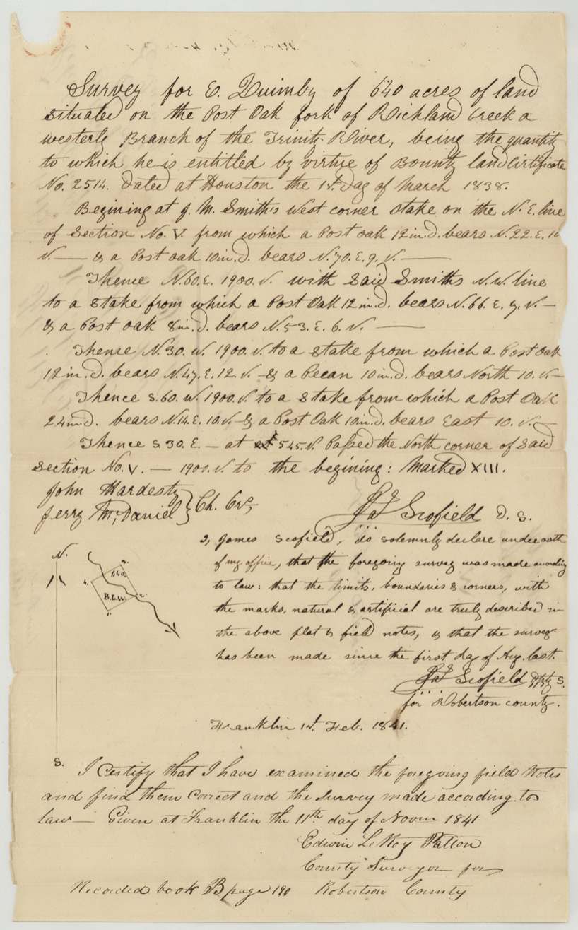
Made 'since the first day of Aug. last'; signed Franklin, 1 Feb 1841, Jas. (James) Scofield.
640 acres situated on the Post Oak fork of Richland Creek, a westerly branch of the Trinity River. Beginning at J. M. Smith's west corner stake on the N.E. line of Section No. V; 1900 vrs per side; passing the north corner of said Section No. V. Marked XIII.
Chain carriers: John Hardesty, Jerry McDaniel.
Book B, page 190 (Robertson County)
The patent
4 Nov 1845, No. 37, Vol. 3, to E. Quimby (original grantee; jacket 'orig.').
Also in the file
- Name: the file consistently reads 'E. Quimby'; the GLO index spells 'Quimley'.
- Certificate issued 1838 but not approved by the acting Secretary of War until 13 Sept 1845, then patented 4 Nov 1845.
- Field notes refer to a numbered 'Section No. V' and mark the survey 'XIII', suggesting a block of numbered surveys laid out together on the Post Oak fork.
- No transfers: patented to the soldier himself.
- The survey is not given a distance from Corsicana (it predates the town); it is located only by the Post Oak fork of Richland Creek.
Timeline
- 20 Apr 1836E. Quimby's service in the Army of Texas begins (per certificate)
- 17 Nov 1836Service ends, honorably discharged
- 1 Mar 1838Bounty cert. No. 2514 for 640 ac issued at Houston by Charles Mason
- 1840-08-01 or laterJas. Scofield surveys 640 ac on Post Oak fork of Richland Creek
- 1 Feb 1841Scofield signs field notes at Franklin
- 11 Nov 1841County surveyor examines; recorded Book B p. 190
- 13 Sep 1845Certificate approved by Ben F. Hill, Acting Sec. of War & Marine
- Nov 1845Correct on map
- 4 Nov 1845Patented to E. Quimby, No. 37 Vol. 3
The papers in the file
Every page of the Land Office file, in the order the Land Office keeps them (5 pages). Tap a page to see it larger.
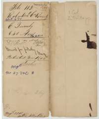 File jacketFile jacket for E. Quimby's 640-acre bounty survey in Robertson County, with the patent entry of 4 November 1845.General Land Office, file 112, page 1 · in the scan
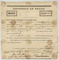 CertificateRepublic of Texas bounty certificate No. 2514 for 640 acres, issued at Houston on 1 March 1838 to E. Quimby for his service in the Army of Texas in 1836.General Land Office, file 112, page 2 · in the scan
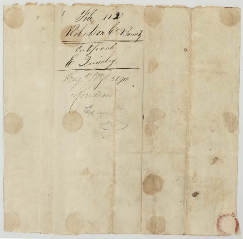
 Back of the certificateBack of the bounty certificate, with the docket for E. Quimby's file.General Land Office, file 112, page 3 · in the scan
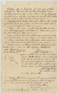 Field notesField notes and plat of 640 acres on the Post Oak fork of Richland Creek, surveyed for E. Quimby by deputy surveyor James Scofield, signed 1 February 1841.General Land Office, file 112, page 4 · in the scan
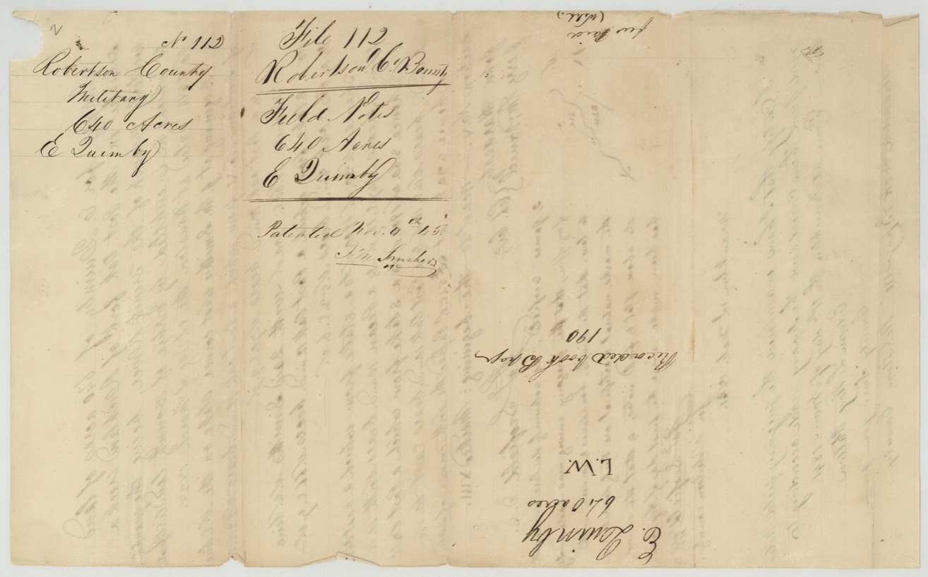
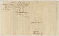 DocketBack of the field notes, with dockets for E. Quimby's 640 acres, recorded in Book B, page 190, and patented 4 November 1845.General Land Office, file 112, page 5 · in the scan
Scans courtesy of the Texas General Land Office, Austin, from its Land Grant Database.
On this ground today
- CemeteryOld Raleigh
Places that stand inside this survey’s lines as the state’s survey map draws them.
Neighbouring surveys
Sources
- Texas General Land Office, Land Grant Database: Navarro County, Abstract 670
- The Land Office file, scanned (PDF, at the General Land Office)
- 1924 map: courtesy of the Texas General Land Office, Austin, Map 73249, used under licence. Topo: U.S. Geological Survey, The National Map. Aerial photographs: U.S. Department of Agriculture, National Agriculture Imagery Program, 2012, 2018 and 2022. Survey outlines: Railroad Commission of Texas, Original Texas Land Survey. Grant records and files: Texas General Land Office.