Blackland TX · ← All the original surveys
Hiram M. Estes Survey, Abstract 250
- Granted to
- Hiram M. Estes
- Kind of grant
- Headright, third classLand for later settlers, including the colonists of Mercer’s Colony.
- Land Office file
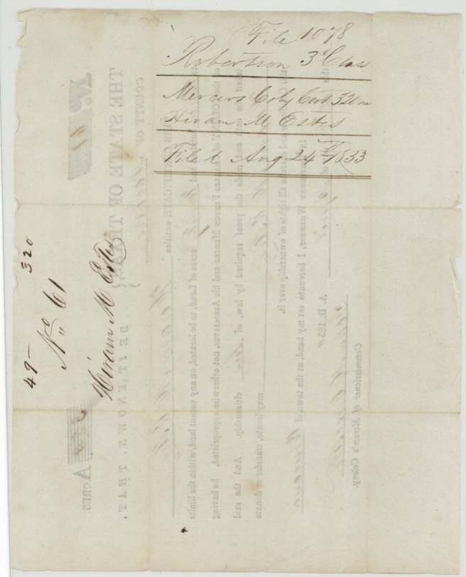
- Robertson 3rd class, file 1078
- Certificate
- No. 61
- Acres
- 187
- Patented to
- Hiram M. Estes
- Patent
- 12 Sep 1856 · No. 130, Vol. 15
Tap a survey to open its page.
What the file shows
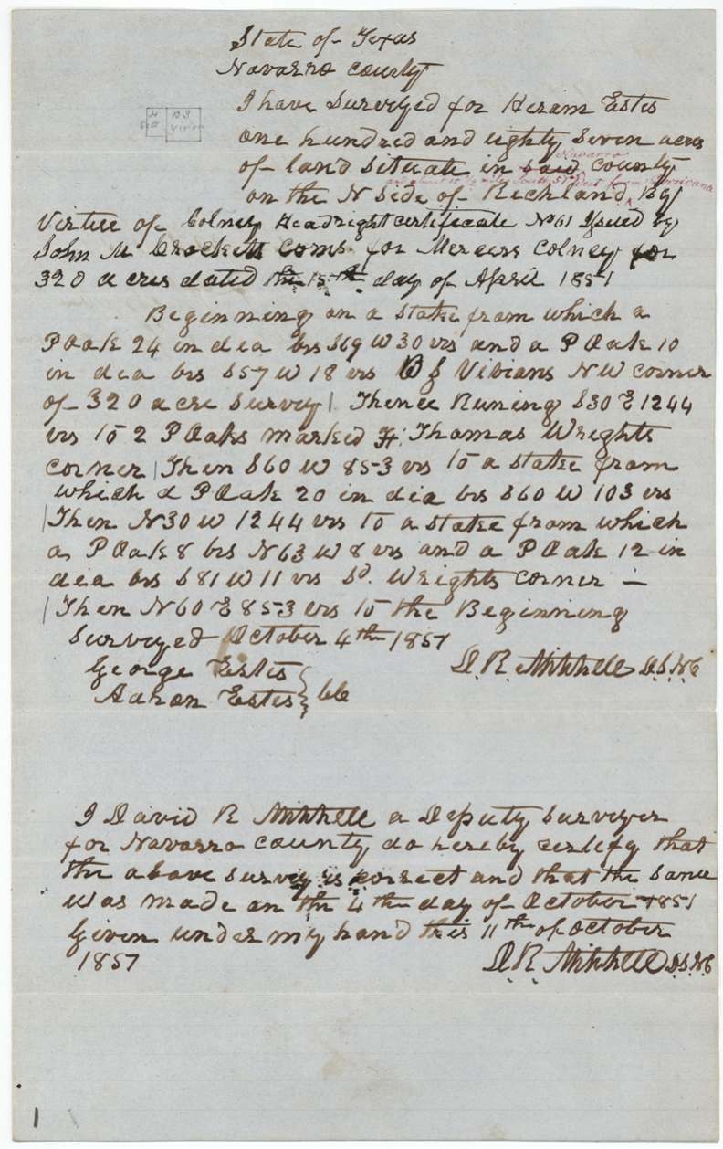
Hiram M. Estes received Mercer's Colony certificate No. 61 for 320 acres from colony commissioner John M. Crockett at Corsicana on 15 April 1850. Deputy surveyor David R. Mitchell, with George and Aaron Estes carrying the chain, located 187 acres of it on 4 October 1851 on the north side of Richland Creek about 15 miles southwest of Corsicana, next to the Vivian and Thomas Wright lands. The Land Office found in 1854 that the survey fell on a league in Thomas Wright's name, but cleared it in September 1856, and the patent issued to Estes himself on 12 September 1856 (No. 130, Vol. 15).
The certificate
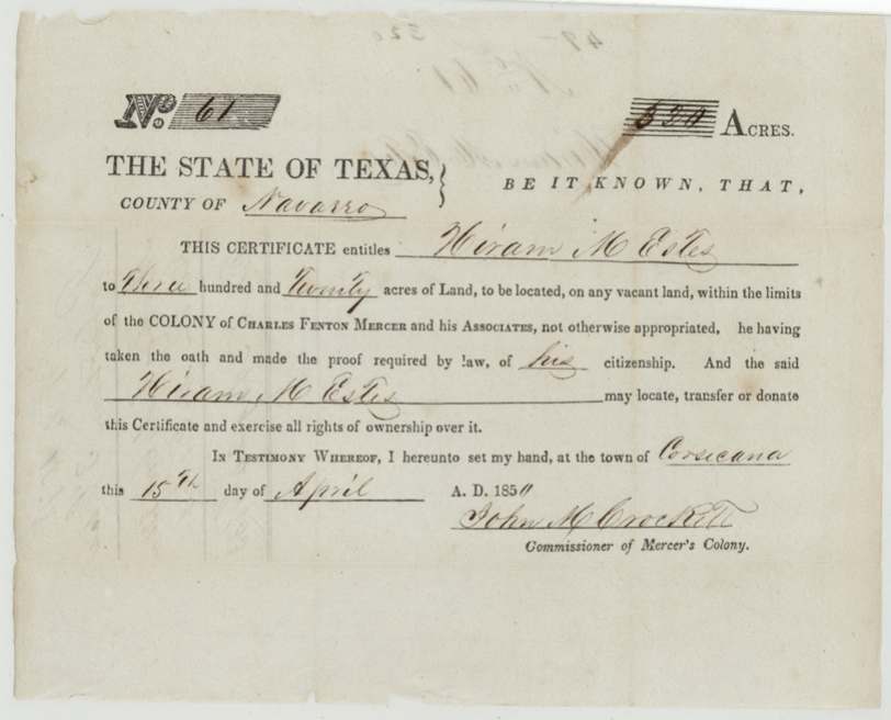
No. 61, 320 (certificate); 187 located in this survey, John M. Crockett, Commissioner of Mercer's Colony, Town of Corsicana, Navarro County, 15 Apr 1850.
Printed Mercer's Colony certificate entitling Hiram M. Estes to 320 acres on vacant land within the colony of Charles Fenton Mercer and his associates, 'he having taken the oath and made the proof required by law of his citizenship'; he may locate, transfer or donate it.
The survey
4 Oct 1851, David R. Mitchell, deputy surveyor for Navarro County.
Navarro County, on the north side of Richland [Creek], about 15 1/2 miles S 57 W from Corsicana (added in red)
Chain carriers: George Estes, Aaron Estes.
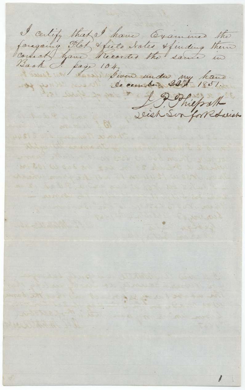
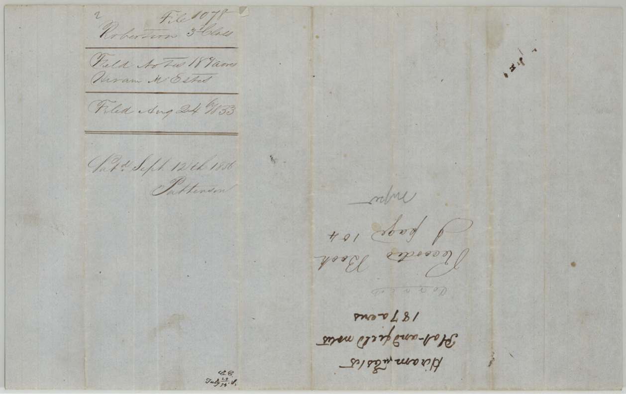
Book J, page 104
The patent
12 Sep 1856, No. 130, Vol. 15, to Hiram M. Estes, delivered to D. R. Mitchell(?) (faint name below patent number).
Also in the file
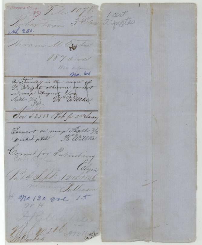
- In 1854 the Land Office's map clerk found this survey lay on a league already surveyed in the name of T. (Thomas) Wright, holding up the patent for two years until it was cleared in September 1856.
- Only 187 of the certificate's 320 acres were located here; the jacket points to Robertson 3rd class file 2588 for a second survey.
- Both chain carriers were Esteses (George and Aaron), presumably family of the grantee.
- The surveyor's handwriting makes 1851 look like 1857, and the field notes misdate the certificate to 1851 instead of 1850.
Timeline
- 15 Apr 1850John M. Crockett, Mercer's Colony commissioner, issues certificate No. 61 for 320 acres at Corsicana
- 4 Oct 1851David R. Mitchell surveys 187 acres north of Richland Creek
- 23 Dec 1851District Surveyor J. P. Philpott records field notes, Book J p. 104
- 24 Aug 1853Certificate and field notes filed in GLO
- 4 Aug 1854Map check finds overlap with T. Wright league
- 3 Sep 1856Cleared as correct on map
- 12 Sep 1856Patent No. 130, Vol. 15 issued to Hiram M. Estes
The papers in the file
Every page of the Land Office file, in the order the Land Office keeps them (6 pages). Tap a page to see it larger.
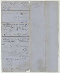 File jacketFile jacket for the Robertson Third Class file of Hiram M. Estes, 187 acres, patented 12 September 1856 as No. 130, Volume 15.General Land Office, file 1078, page 1 · in the scan
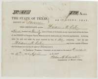 CertificateMercer's Colony certificate No. 61 for 320 acres, issued at Corsicana on 15 April 1850 by Commissioner John M. Crockett to Hiram M. Estes.General Land Office, file 1078, page 2 · in the scan
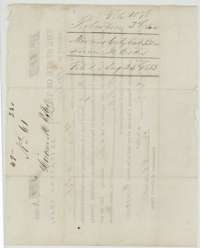 Back of the certificateBack of the colony certificate, marked as the certificate of Hiram M. Estes, 320 acres, filed 24 August 1853.General Land Office, file 1078, page 3 · in the scan
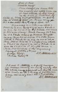 Field notesField notes for 187 acres on the north side of Richland Creek, surveyed for Hiram Estes by deputy surveyor David R. Mitchell on 4 October 1851.General Land Office, file 1078, page 4 · in the scan
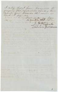 Surveyor's certificateCertificate of District Surveyor J. P. Philpott, 23 December 1851, that he examined the Estes field notes and recorded them in Book J, page 104.General Land Office, file 1078, page 5 · in the scan
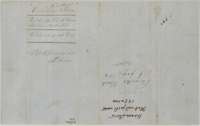 File jacketJacket for the plat and field notes of Hiram M. Estes, 187 acres, filed 24 August 1853.General Land Office, file 1078, page 6 · in the scan
Scans courtesy of the Texas General Land Office, Austin, from its Land Grant Database.
Neighbouring surveys
Sources
- Texas General Land Office, Land Grant Database: Navarro County, Abstract 250
- The Land Office file, scanned (PDF, at the General Land Office)
- 1924 map: courtesy of the Texas General Land Office, Austin, Map 73249, used under licence. Topo: U.S. Geological Survey, The National Map. Aerial photographs: U.S. Department of Agriculture, National Agriculture Imagery Program, 2012, 2018 and 2022. Survey outlines: Railroad Commission of Texas, Original Texas Land Survey. Grant records and files: Texas General Land Office.