Blackland TX · ← All the original surveys
Thomas Wright Survey, Abstract 820
- Granted to
- Thomas Wright
- Kind of grant
- Headright, first classLand for settlers who were in Texas before independence, 2 March 1836.
- Land Office file
- Robertson 1st class, file 236
- Certificate
- No. 442
- Acres
- 3975.85
- Patented to
- Joseph French
- Patent
- 07 Aug 1845 · No. 109, Vol. 4
Tap a survey to open its page.
What the file shows
Thomas Wright, a married man who arrived in Texas in 1834, received first-class headright certificate No. 442 for a league and labor from the San Augustine County land board on 8 March 1838. About 630 acres were surveyed in San Augustine County in 1839; in July 1841, after the certificate passed the board to detect fraudulent claims, Wright sold it to Joseph French for $1,000. James Scofield surveyed the balance, 22.445 labors, as Section I on Richland Creek, adjoining Alphonso Steel's and J. Treadwell's sections, and it was examined at Franklin in January 1842. The patent issued to Joseph French as assignee in August 1845 (No. 109, Vol. 4).
The certificate
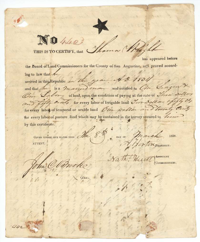
headright 1st class, No. 442, One league and one labor (26 labors); this file covers the balance of 22 445,297/1,000,000 labors, Board of Land Commissioners for the County of San Augustine: A. Horton, President; Nathl. Hunt(?), Assistant Commissioner; attest John C. Brooke, Clerk, San Augustine County, 8 Mar 1838.
Thomas Wright proved that he arrived in the Republic in 1834 and is a married man, entitled to one league and one labor, on condition of paying $3.50 per labor of irrigable land, $2.50 per labor of temporal (arable) land and $1.20 per labor of pasture land.
Changes of hand
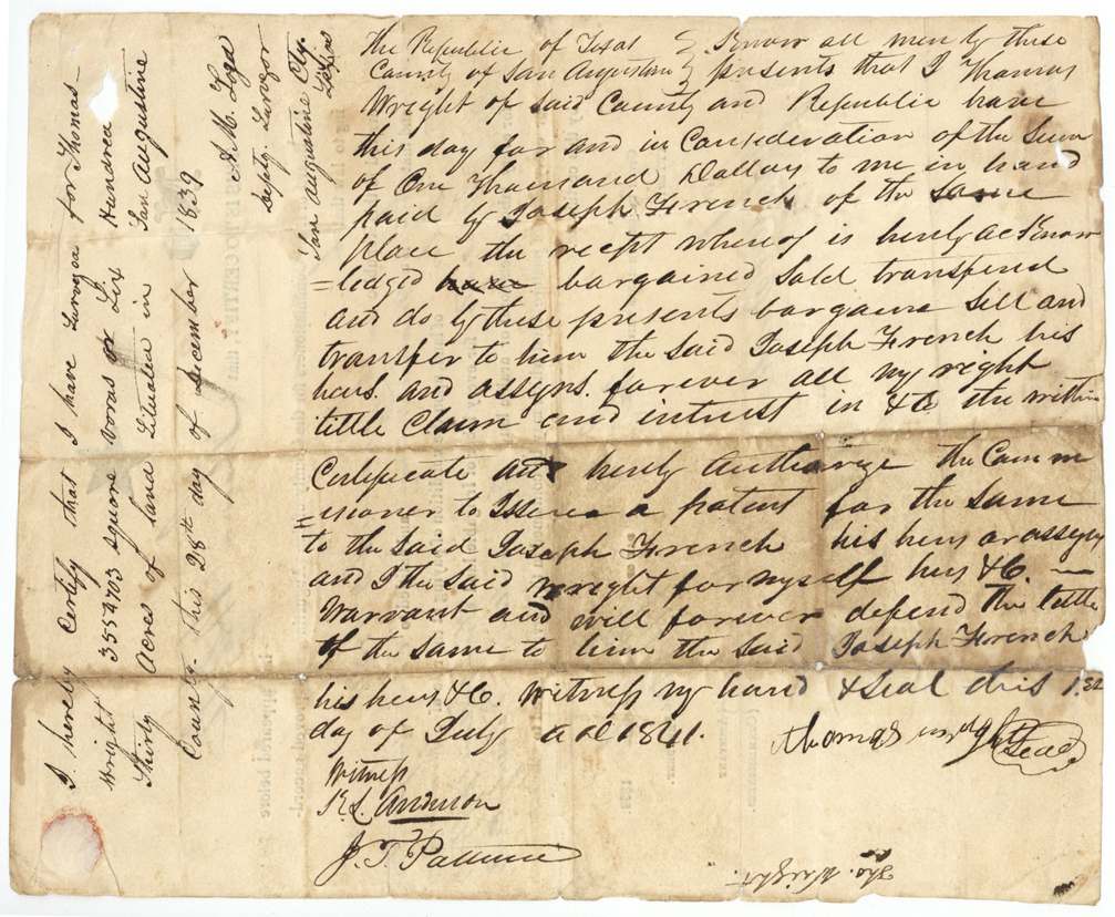
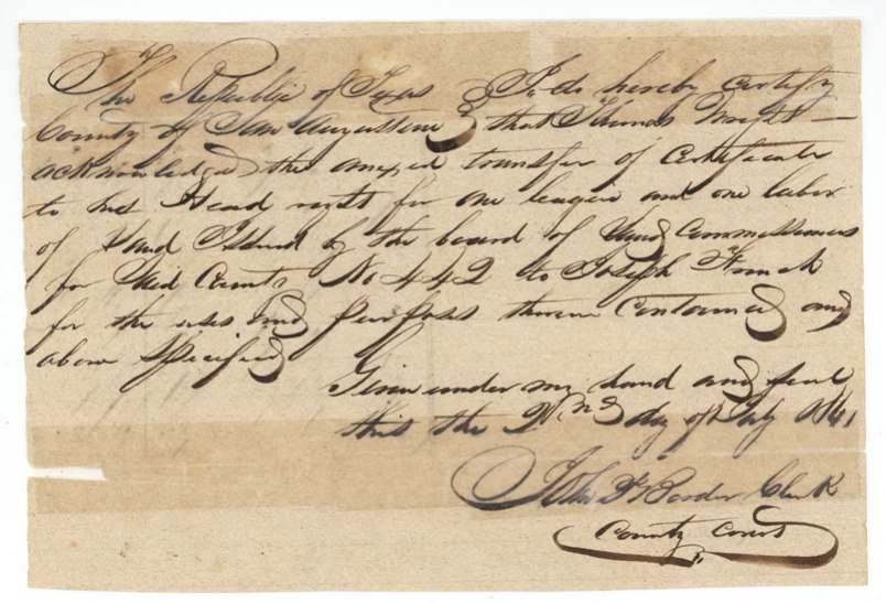
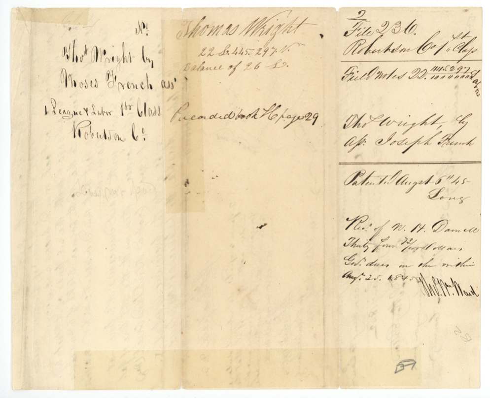
- 1841-07-13(?)Thomas Wright, of San Augustine County → Joseph French, of the same place, $1,000, San Augustine County, Republic of Texas. Sells all his right, title, claim and interest in the certificate and authorizes the Commissioner to issue the patent to French. Signed by mark ('Thomas his mark Wright'). An outer docket names the assignee as 'Moses French' rather than Joseph.
The survey
28 Dec 1839, San Augustine County: A. M. Fogo(?), deputy surveyor.
San Augustine County
The survey
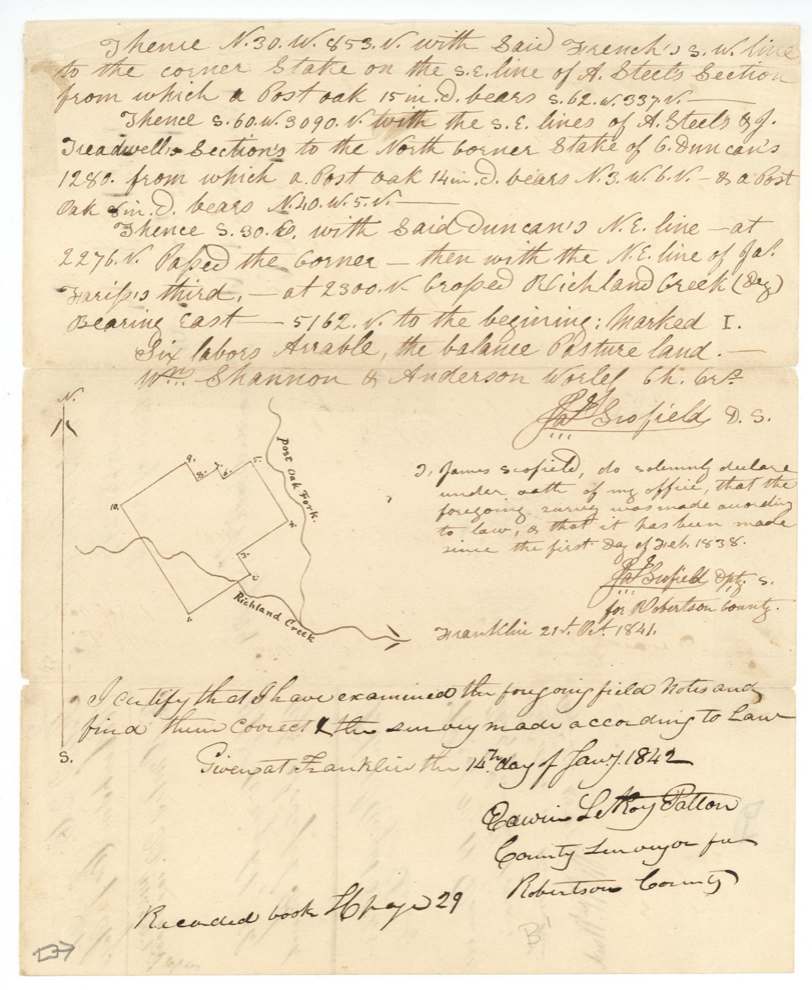
made after 1 Feb 1838; oath dated Franklin, 21 Oct 1841, James Scofield, Deputy Surveyor for Robertson County.
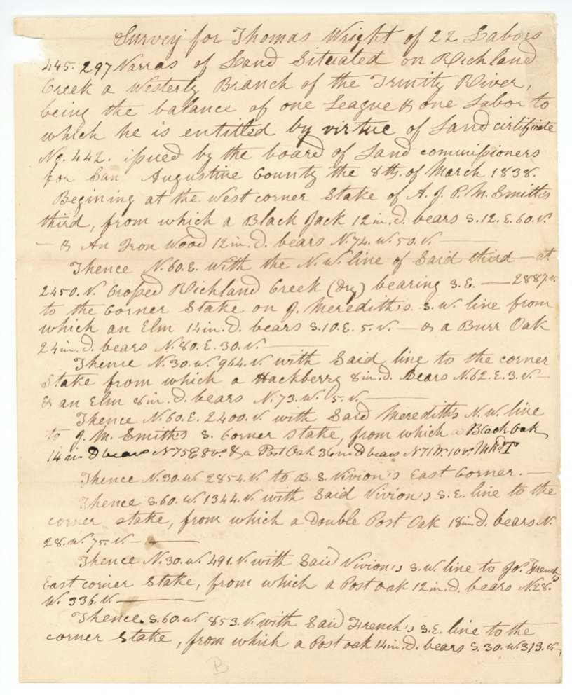
On Richland Creek, a westerly branch of the Trinity River (plat also shows Post Oak Fork); crosses Richland Creek (dry) twice
Chain carriers: Wm. Shannon, Anderson Worley.
Book H(?), page 29
The patent
1845-08-07 (wrapper; field-notes jacket reads Aug 6th 45), No. 109, Vol. 4, to Joseph French, assignee, delivered to W. H. Daniel(?), 25 Aug 1845.
Also in the file
- The certificate was split: about 630 acres were surveyed in San Augustine County in 1839, and the balance (about 3,975 acres) was laid out on Richland Creek in the future Navarro County.
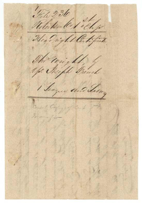
- The assignee is Joseph French in the deed and patent but 'Moses French' on one docket.
- Wright signed the sale by his mark.
- Two different patent days appear: August 6 and August 7, 1845.
- The tract adjoins Alphonso Steel's San Jacinto donation section and was surveyed by the same surveyor with the same chain carriers.
Timeline
- 1834Thomas Wright arrives in Texas as a married man (per certificate)
- 8 Mar 1838San Augustine County land board issues first-class certificate No. 442 for a league and labor
- 28 Dec 1839About 630 acres of the certificate surveyed in San Augustine County
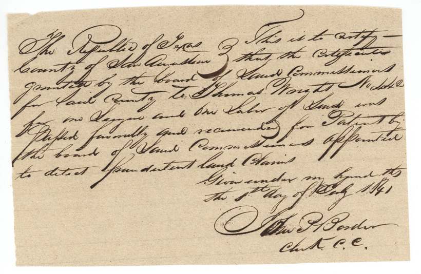
- Jul 1841Certificate passes the board to detect fraudulent land claims; Wright sells it to Joseph French for $1,000
- 21 Oct 1841James Scofield certifies his survey of the balance, Section I on Richland Creek
- 14 Jan 1842Field notes examined at Franklin by County Surveyor E. L. R. Patton
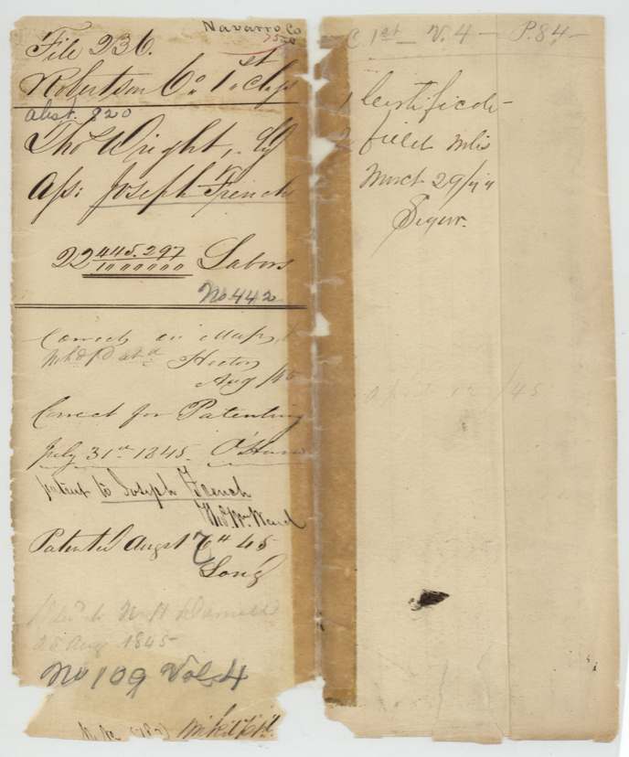
- 29 Mar 1844Certificate and field notes filed (flap note)
- 31 Jul 1845Found correct for patenting
- 7 Aug 1845Patent No. 109 Vol. 4 issued to Joseph French, assignee
- 25 Aug 1845W. H. Daniel pays $34.72 government dues; patent delivered
The papers in the file
Every page of the Land Office file, in the order the Land Office keeps them (9 pages). Tap a page to see it larger.
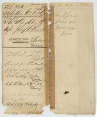 File jacketFile jacket for the headright of Thomas Wright, the balance of a league and labor, listing the certificate, transfer and field notes.General Land Office, file 236, page 1 · in the scan
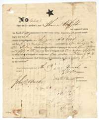 CertificateHeadright certificate No. 442 issued 8 March 1838 by the Board of Land Commissioners of San Augustine County to Thomas Wright for a league and labor.General Land Office, file 236, page 2 · in the scan
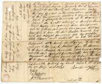 TransferDeed of July 1841 in which Thomas Wright of San Augustine County sells his headright certificate to Joseph French for $1,000.General Land Office, file 236, page 3 · in the scan
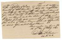 CertificateCertificate of the San Augustine County clerk, July 1841, that Wright's certificate No. 442 was recommended for patent by the board of land claims.General Land Office, file 236, page 4 · in the scan
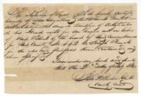 CertificateSecond certificate of the San Augustine County clerk, July 1841, confirming Wright's transfer of his certificate to Joseph French.General Land Office, file 236, page 5 · in the scan
 WrapperFiling wrapper for Thomas Wright's headright certificate and its assignment to Joseph French.General Land Office, file 236, page 6 · in the scan
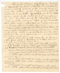 Field notesField notes for 22 labors on Richland Creek, the balance of Thomas Wright's league and labor, surveyed by deputy surveyor James Scofield.General Land Office, file 236, page 7 · in the scan
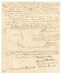 Field notesEnd of the field notes, with a small plat of the tract and the county surveyor's certificate of 14 January 1842.General Land Office, file 236, page 8 · in the scan
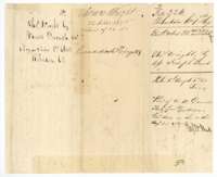 WrapperWrapper for the Wright field notes, recorded in Book H, page 29, and marked patented in August 1845.General Land Office, file 236, page 9 · in the scan
Scans courtesy of the Texas General Land Office, Austin, from its Land Grant Database.
On this ground today
- CemeteriesFrench Cemetery, Navarro Mills
- Historical markersNavarro Mills Community, Near Site of Trading Post of Dr. George Washington Hill, Spring Hill
Places that stand inside this survey’s lines as the state’s survey map draws them.
Neighbouring surveys
Sources
- Texas General Land Office, Land Grant Database: Navarro County, Abstract 820
- The Land Office file, scanned (PDF, at the General Land Office)
- 1924 map: courtesy of the Texas General Land Office, Austin, Map 73249, used under licence. Topo: U.S. Geological Survey, The National Map. Aerial photographs: U.S. Department of Agriculture, National Agriculture Imagery Program, 2012, 2018 and 2022. Survey outlines: Railroad Commission of Texas, Original Texas Land Survey. Grant records and files: Texas General Land Office.