Blackland TX · ← All the original surveys
John Treadwell Survey, Abstract 795
- Granted to
- John Treadwell
- Kind of grant
- Headright, second classLand for settlers who came between independence and 1 October 1837.
- Land Office file
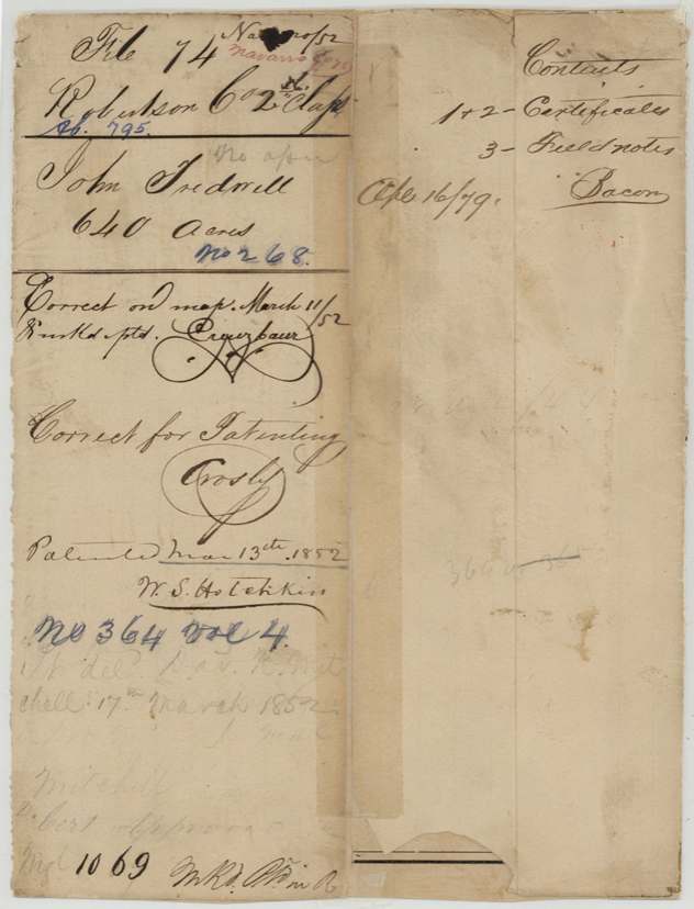
- Robertson 2nd class, file 74
- Certificate
- No. 268
- Acres
- 640
- Patented to
- John Treadwell
- Patent
- 13 Mar 1852 · No. 364, Vol. 4
Tap a survey to open its page.
What the file shows
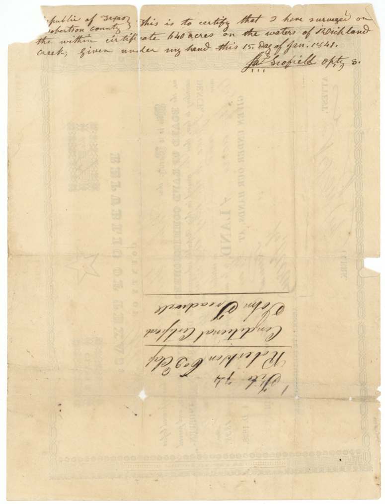
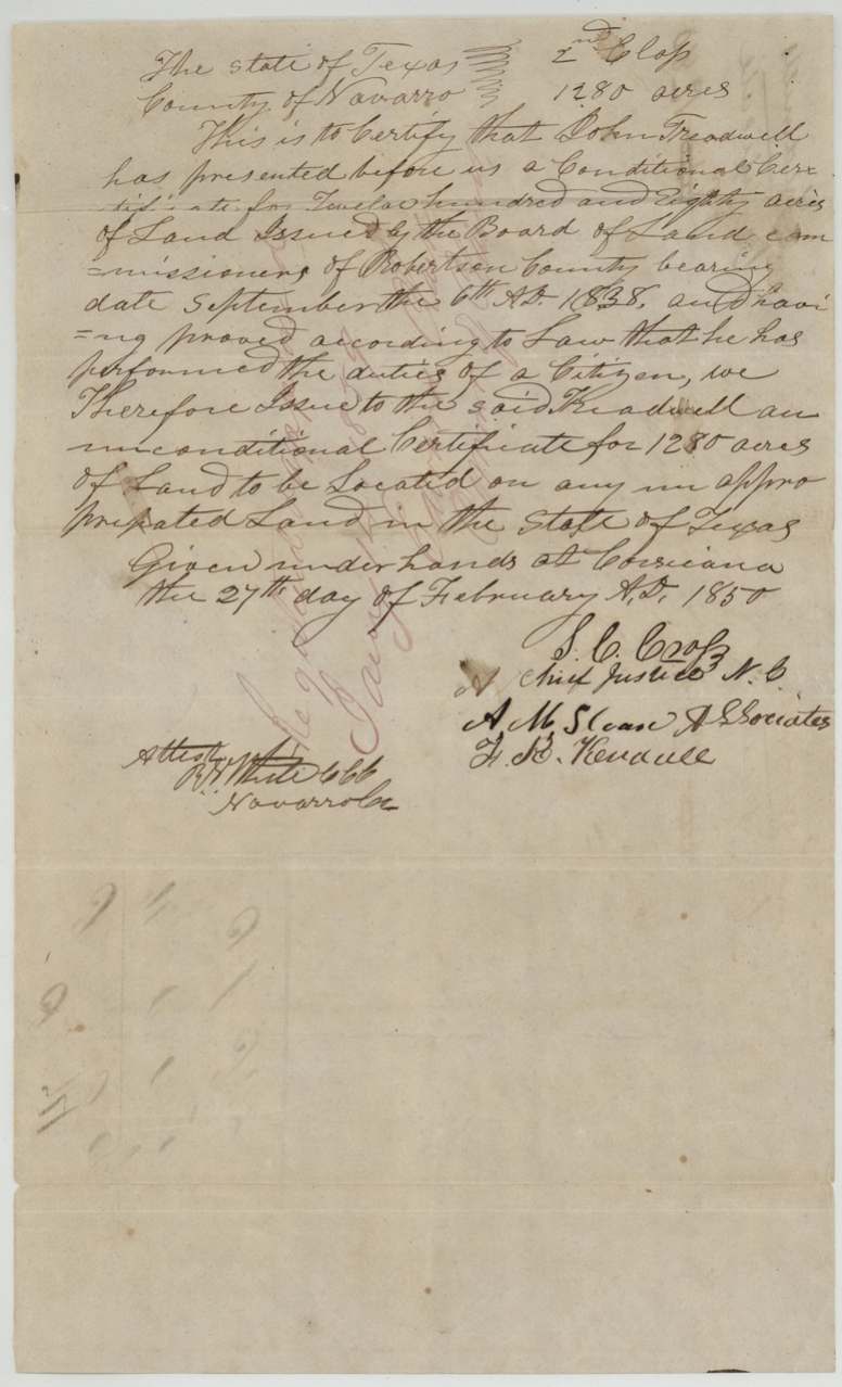
John Treadwell, a married man who came to Texas between the Declaration of Independence and October 1837, received a conditional 2nd-class certificate (No. 57) for 1280 acres from the Robertson County board at Franklin on 6 September 1838. Deputy surveyor James Scofield laid off half of it, 640 acres on Richland Creek, in January 1841. After the Navarro County court issued his unconditional certificate at Corsicana in February 1850, a certified copy of the old field notes was sent in, and the patent (No. 364, Vol. 4) issued to Treadwell on 13 March 1852 and was delivered to Dav. H. Mitchell.
The certificate
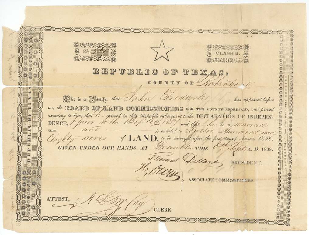
headright 2nd, No. 57 (conditional); unconditional issued 1850, 1280 acres, Board of Land Commissioners, Robertson County (Thomas Dillard, President; H. Owen(?), Associate Commissioner; attest A. S. McCoy(?), Clerk), Franklin, 6 Sep 1838.
Arrived in the Republic after the Declaration of Independence and prior to 1 Oct 1837; a married man; 1280 acres to be surveyed after 1 Aug 1838
The survey
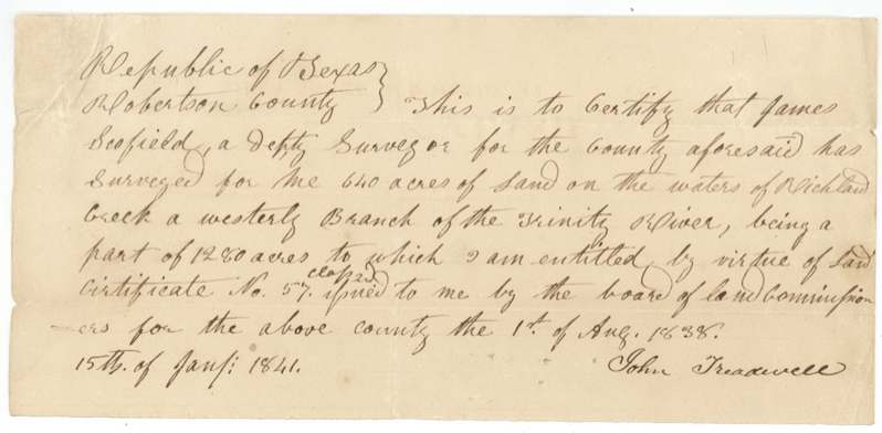
1841-01-15 (signed at Franklin; survey made since 1 Aug 1840), James Scofield, Deputy Surveyor, Robertson County.
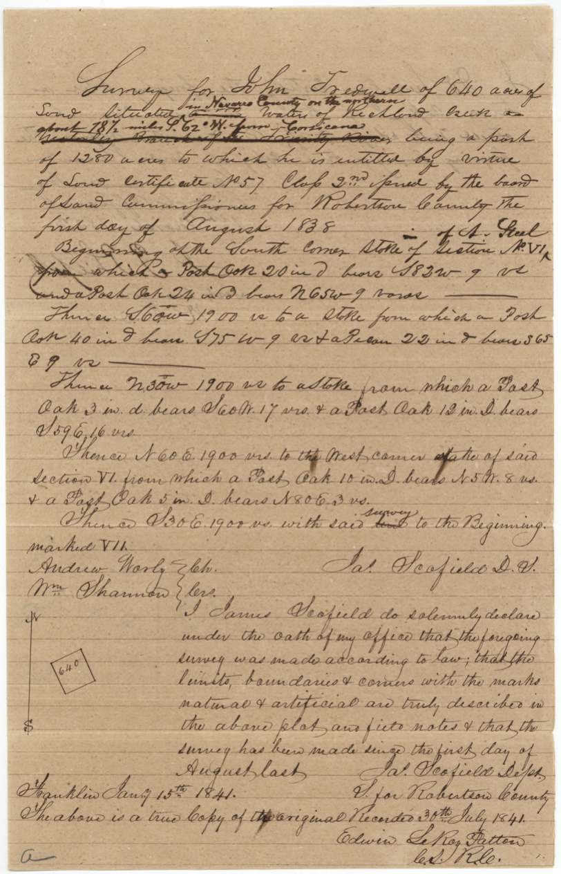
Waters of Richland Creek, a westerly branch of the Trinity River; interlined on the copy: 'in Navarro County on the northern(?) waters of Richland Creek about 18 1/2 miles S 62 W from Corsicana'
Chain carriers: Andrew Worly(?), Wm. Shannon.
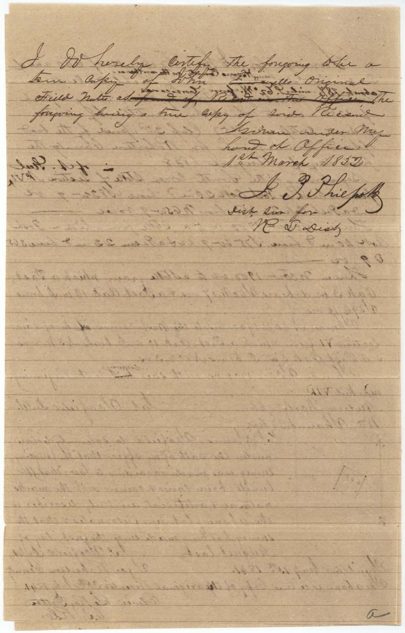
Robertson County Surveyor's records 30 July 1841 (copy certified by Edwin LeRoy Patton(?), C.S.R.C.); certified copy by J. P. Philpott(?), District Surveyor R. L. Dist., 1 March 1852
The patent
13 Mar 1852, No. 364, Vol. 4, to John Treadwell, delivered to Dav. H. Mitchell, 17 March 1852.
Also in the file
- The field notes are an 1852 certified copy of an 1841 survey; the words 'in Navarro County ... from Corsicana' were written in later over the original 'westerly branch of the Trinity River', since neither the county nor the town existed in 1841.
- The survey papers date the certificate 1 August 1838, but the certificate itself is dated 6 September 1838 (1 August 1838 is the date after which it could be surveyed).
- The land was surveyed in 1841 but not patented until 1852, after Treadwell got his unconditional certificate in 1850.
- No sale of the certificate is in the file; the patent went to Treadwell himself and was delivered to Dav. H. Mitchell.
Timeline
- 6 Sep 1838Robertson County board at Franklin issues conditional 2nd-class certificate No. 57 for 1280 acres to John Treadwell, married, arrived before Oct 1837
- 15 Jan 1841James Scofield surveys 640 acres on Richland Creek for Treadwell
- 30 Jul 1841Field notes recorded in Robertson County
- 27 Feb 1850Navarro County court at Corsicana issues unconditional certificate
- 1 Mar 1852District surveyor certifies copy of field notes
- 11 Mar 1852Checked correct on map
- 13 Mar 1852Patent No. 364 Vol. 4 issued to John Treadwell
- 17 Mar 1852Patent delivered to Dav. H. Mitchell
The papers in the file
Every page of the Land Office file, in the order the Land Office keeps them (9 pages). Tap a page to see it larger.
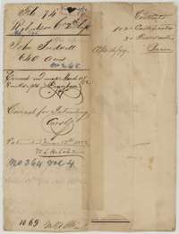 File jacketFile jacket for John Treadwell's 640-acre headright, Robertson second class, with the patent of 13 March 1852.General Land Office, file 74, page 1 · in the scan
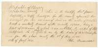 Other papersJohn Treadwell's statement of 15 January 1841 that deputy surveyor James Scofield surveyed 640 acres for him on Richland Creek.General Land Office, file 74, page 2 · in the scan
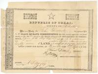 CertificateConditional headright certificate No. 57 for 1,280 acres issued to John Treadwell by the Robertson County land board at Franklin, 6 September 1838.General Land Office, file 74, page 3 · in the scan
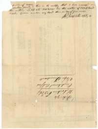 WrapperBack of the certificate, with surveyor Scofield's endorsement of 15 January 1841 that he surveyed 640 acres on Richland Creek, and a file docket.General Land Office, file 74, page 4 · in the scan
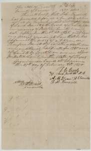 CertificateUnconditional certificate for 1,280 acres issued to John Treadwell by the Navarro County court at Corsicana, 27 February 1850.General Land Office, file 74, page 5 · in the scan
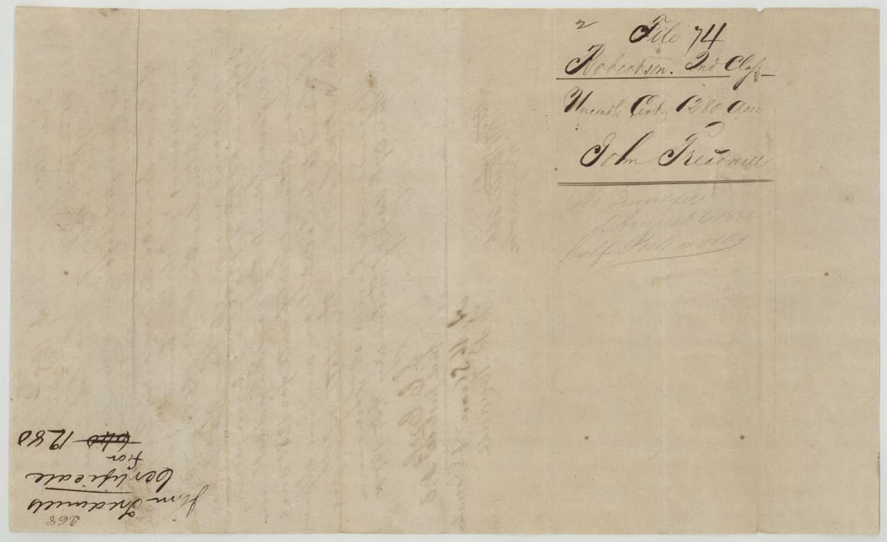
 WrapperBack of the unconditional certificate, with the file docket naming John Treadwell.General Land Office, file 74, page 6 · in the scan
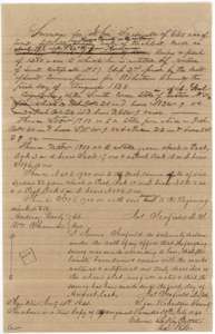 Field notesCopy of field notes for 640 acres on Richland Creek, surveyed for John Treadwell by deputy surveyor James Scofield, 15 January 1841, with a small plat.General Land Office, file 74, page 7 · in the scan
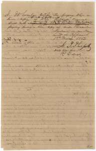 Surveyor's certificateDistrict surveyor's certificate of 1 March 1852 that the foregoing is a true copy of John Treadwell's field notes.General Land Office, file 74, page 8 · in the scan
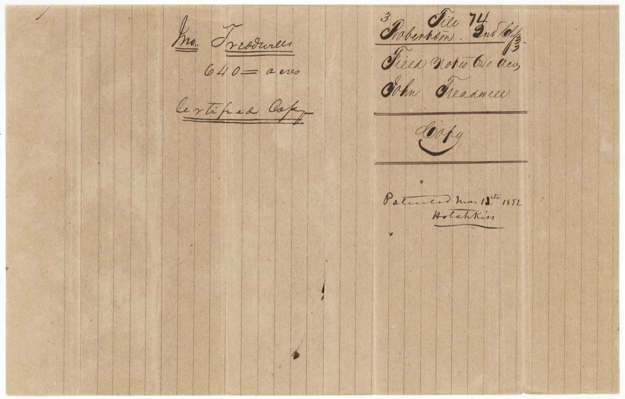
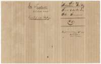 WrapperField notes jacket marked as a certified copy for John Treadwell's 640 acres, with the patent note of 13 March 1852.General Land Office, file 74, page 9 · in the scan
Scans courtesy of the Texas General Land Office, Austin, from its Land Grant Database.
Neighbouring surveys
Sources
- Texas General Land Office, Land Grant Database: Navarro County, Abstract 795
- The Land Office file, scanned (PDF, at the General Land Office)
- 1924 map: courtesy of the Texas General Land Office, Austin, Map 73249, used under licence. Topo: U.S. Geological Survey, The National Map. Aerial photographs: U.S. Department of Agriculture, National Agriculture Imagery Program, 2012, 2018 and 2022. Survey outlines: Railroad Commission of Texas, Original Texas Land Survey. Grant records and files: Texas General Land Office.