Blackland TX · ← All the original surveys
John White Survey, Abstract 826
- Granted to
- John White
- Kind of grant
- Headright, first classLand for settlers who were in Texas before independence, 2 March 1836.
- Land Office file
- Robertson 1st class, file 1095
- Certificate
- No. 1070
- Acres
- 76
- Patented to
- Jacob Eliot
- Patent
- 07 Jun 1866 · No. 327, Vol. 17
Tap a survey to open its page.
What the file shows
John White held first-class headright certificate No. 1070 from the Harrisburg County board, issued under a special act of the Legislature; after other land was located, an unlocated balance remained. In April 1866 Navarro County Surveyor J. M. Eliot surveyed 76 acres of that balance on the waters of Richland Creek, about 18 miles southwest of Corsicana, filling a gap between the Moss, Seely, McDaniel, Treadwell and Lothlin surveys, and a J. Eliot applied for it. The field notes were recorded in Book B, page 426, and filed in Austin in June 1866. The patent, No. 327, Vol. 12, issued June 7, 1866 to Jacob Eliot as assignee of White.
The certificate
headright 1st class (part of unlocated balance), No. 1070, 76 acres used here (429,050 sq. varas) from the unlocated balance; full certificate amount not stated in this file, Board of Land Commissioners for Harrisburg County, 'under special act of the Legislature', Harrisburg County, left blank in the field notes ('on the __ day of __ 18__').
not stated — the certificate itself is not in this file
The survey
1866-04-12 (sworn and recorded 1866-05-22 at Corsicana), J. M. Eliot, County Surveyor, Navarro County.
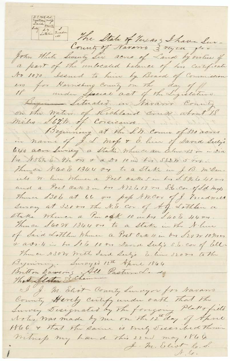
Navarro County, on the waters of Richland Creek, about 18 miles S 62 W of Corsicana
Chain carriers: Britton Dawson, Thos. Slater.
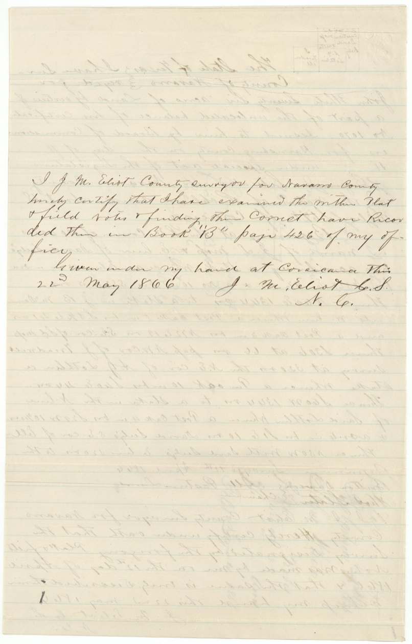
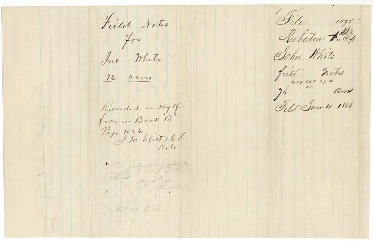
Book B, page 426, Navarro County surveyor's records
The patent
7 Jun 1866, No. 327, Vol. 12, to Jacob Eliot, assignee of John White, delivered to faint pencil 'J. M. Eliott' on wrapper (probably delivered to J. M. Eliot) (?).
Also in the file
- The surveyor who ran the lines (J. M. Eliot, Navarro county surveyor), the man who applied for the land (J. Eliot) and the man who received the patent (Jacob Eliot, 'assignee') all share a surname — the county surveyor was in effect locating a leftover scrap of an old certificate for himself or his family.
- No assignment from John White to Jacob Eliot is in this file, though the patent was issued to Eliot 'as assignee'; the certificate and any transfers are said to be in Robertson file 187.
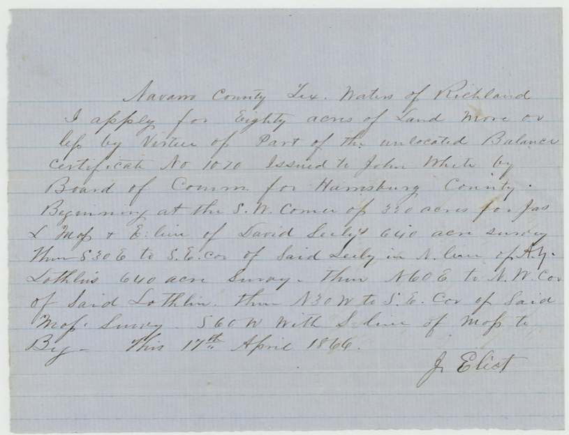
- The application for survey is dated April 17, 1866 — five days AFTER the survey itself (April 12).
- The field notes leave the certificate's issue date blank, and say it was issued 'under special act of the Legislature'.
- This is a 76-acre filler tract squeezed between existing surveys, patented in June 1866, just after the Civil War.
Timeline
- 12 Apr 1866J. M. Eliot surveys 76 acres on Richland Creek waters for John White's certificate No. 1070
- 17 Apr 1866J. Eliot signs application for about 80 acres of the vacancy
- 22 May 1866Field notes sworn and recorded, Book B p. 426, at Corsicana
- 4 Jun 1866Field notes and application filed in GLO
- 6 Jun 1866Checked correct on Navarro map (C. W. Pressler)
- 7 Jun 1866Patent No. 327, Vol. 12 issued to Jacob Eliot, assignee
The papers in the file
Every page of the Land Office file, in the order the Land Office keeps them (6 pages). Tap a page to see it larger.
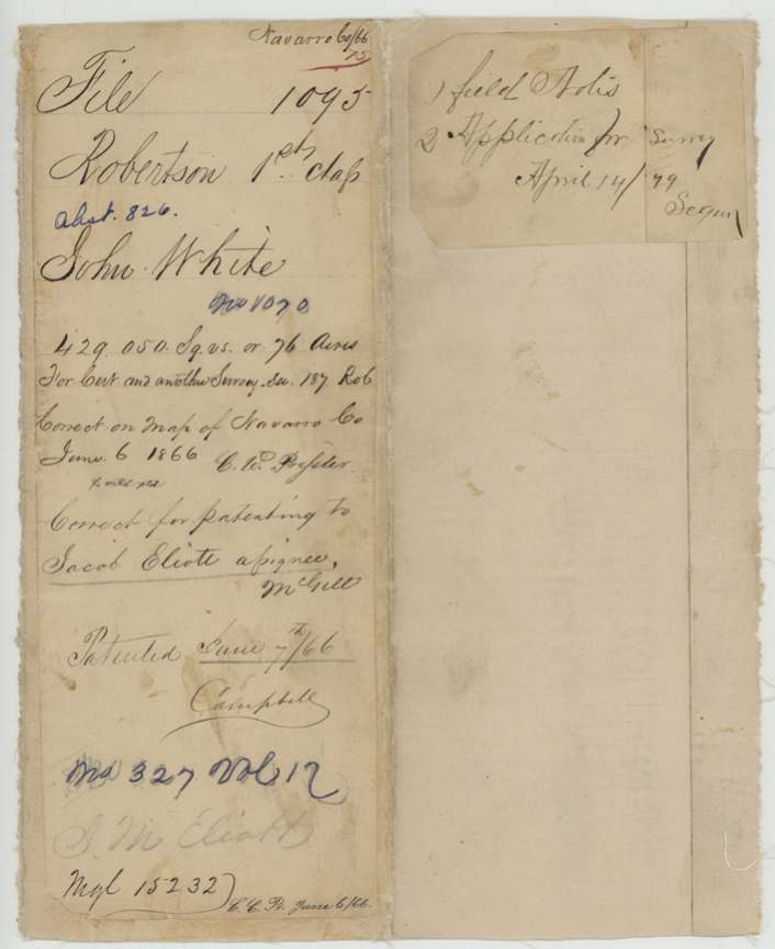
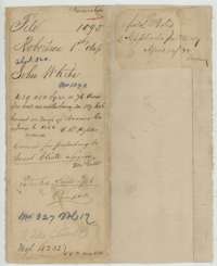 File jacketFile jacket for John White's headright, 76 acres in Navarro County, patented to Jacob Eliot, assignee, in June 1866.General Land Office, file 1095, page 1 · in the scan
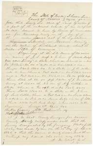 Field notesField notes and plat of 76 acres on the waters of Richland Creek for John White, surveyed by county surveyor J. M. Eliot, 12 April 1866.General Land Office, file 1095, page 2 · in the scan
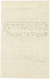 Surveyor's certificateCertificate of county surveyor J. M. Eliot, Corsicana, 22 May 1866, that the White survey is recorded in Book B, page 426.General Land Office, file 1095, page 3 · in the scan
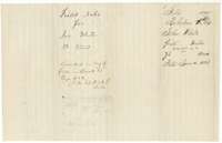 WrapperDocket wrapper for the field notes of 76 acres for John White, recorded in Book B, page 426, filed 4 June 1866.General Land Office, file 1095, page 4 · in the scan
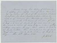 Other papersApplication of 17 April 1866 to locate about 80 acres on Richland Creek under part of John White's unlocated balance certificate.General Land Office, file 1095, page 5 · in the scan
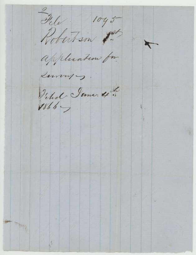
 WrapperDocket wrapper for the application to survey land for John White, filed 4 June 1866.General Land Office, file 1095, page 6 · in the scan
Scans courtesy of the Texas General Land Office, Austin, from its Land Grant Database.
On this ground today
- Historical markerBrushie Prairie Methodist Church
Places that stand inside this survey’s lines as the state’s survey map draws them.
Neighbouring surveys
Sources
- Texas General Land Office, Land Grant Database: Navarro County, Abstract 826
- The Land Office file, scanned (PDF, at the General Land Office)
- 1924 map: courtesy of the Texas General Land Office, Austin, Map 73249, used under licence. Topo: U.S. Geological Survey, The National Map. Aerial photographs: U.S. Department of Agriculture, National Agriculture Imagery Program, 2012, 2018 and 2022. Survey outlines: Railroad Commission of Texas, Original Texas Land Survey. Grant records and files: Texas General Land Office.