Blackland TX · ← All the original surveys
James L. Moss Survey, Abstract 591
- Granted to
- James L. Moss
- Kind of grant
- Bounty warrantLand paid for service in the army of the Republic.
- Land Office file
- Robertson Bounty, file 397
- Certificate
- No. 1589
- Acres
- 320
- Patented to
- David Seeley
- Patent
- 10 Jan 1850 · No. 583, Vol. 4
Tap a survey to open its page.
What the file shows
James L. Moss served three months in the Army of Texas in the summer of 1836 and received a 320-acre bounty certificate at Houston in January 1838. In September 1843 he sold it to David Seeley for $200. After an abandoned attempt to place it on the Trinity, Robertson County surveyor C. C. Taylor surveyed 320 acres on the waters of Richland(?) Creek, about 18 miles west-southwest of Corsicana, in May 1844, and later swore the survey predated the Mercer colony contract. The patent issued to Seeley as assignee on 10 July 1850.
The certificate
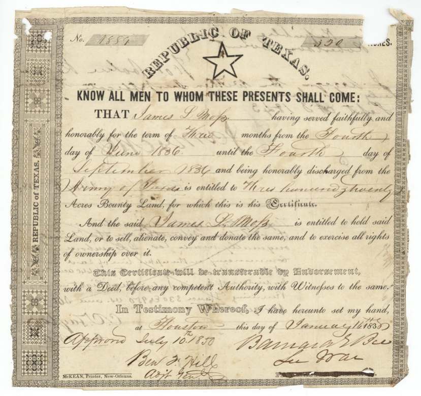
bounty, No. 1889 (printed-form number read as 1889/1559(?); the deed spells out 'one thousand eight hundred and eighty nine'; the field notes say No. 1774), 320 acres, Barnard E. Bee, Secretary of War, Republic of Texas, Houston, 14 Jan 1838.
Served faithfully and honorably for three months, 4 June 1836 to 4 September 1836, and honorably discharged from the Army of Texas
Changes of hand
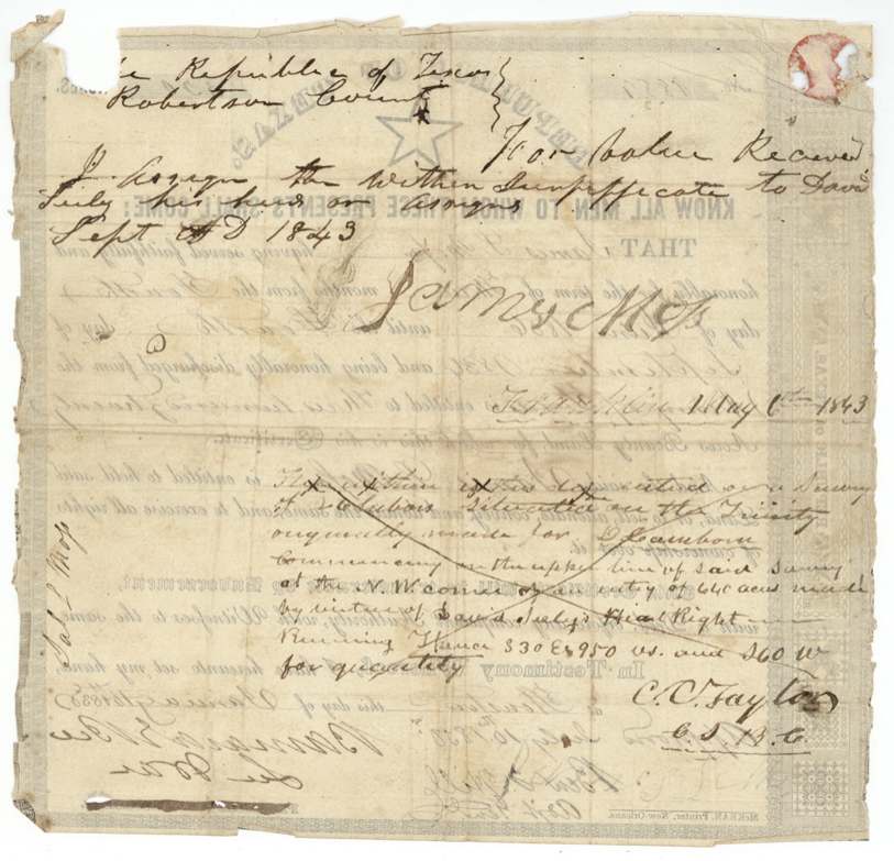
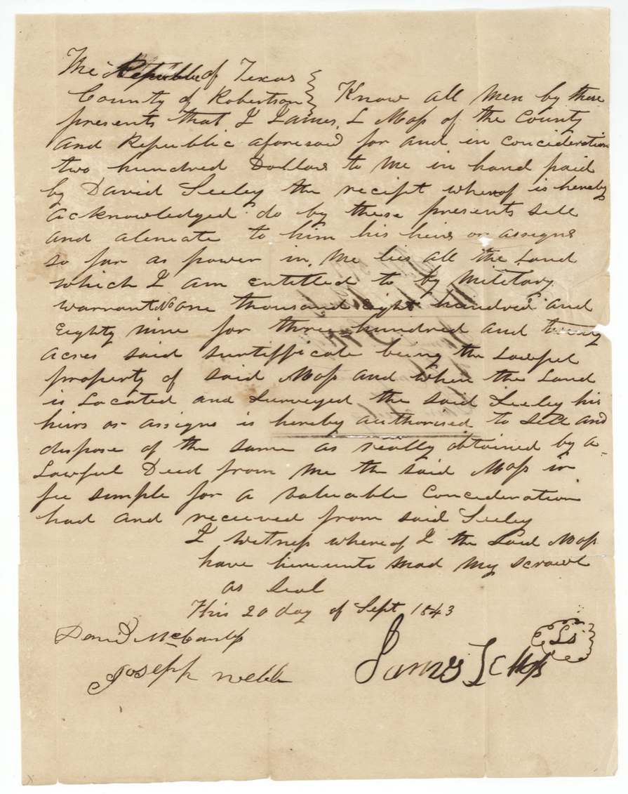
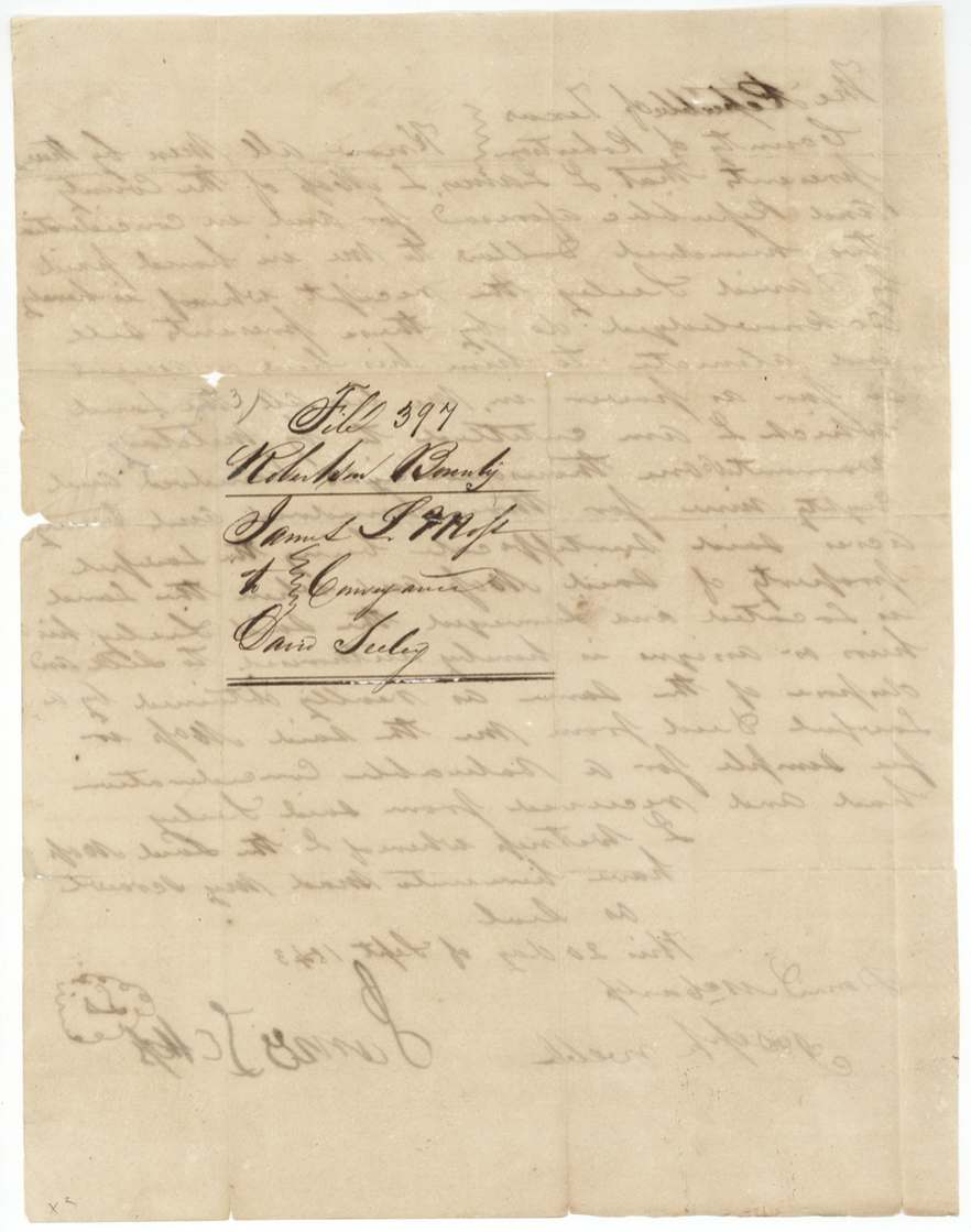
- 20 Sep 1843James L. Moss, of Robertson County → David Seeley, $200, Robertson County. Deed sells all land Moss is entitled to by military warrant No. 1889 for 320 acres and authorises Seeley to sell it once located and surveyed. A short endorsement on the back of the certificate also assigns it to David Seeley, 'Sept __ AD 1843'.
The survey
1843-05-06 (written 'Franklin May 6th 1843'), C. C. Taylor, County Surveyor, Robertson County.
on the Trinity, on a 4-labor survey originally made for D. Cambron(?), beginning at the NW corner of a 640-acre entry made by virtue of Seeley's headright; S30E 950 vs then S60W for quantity
The survey
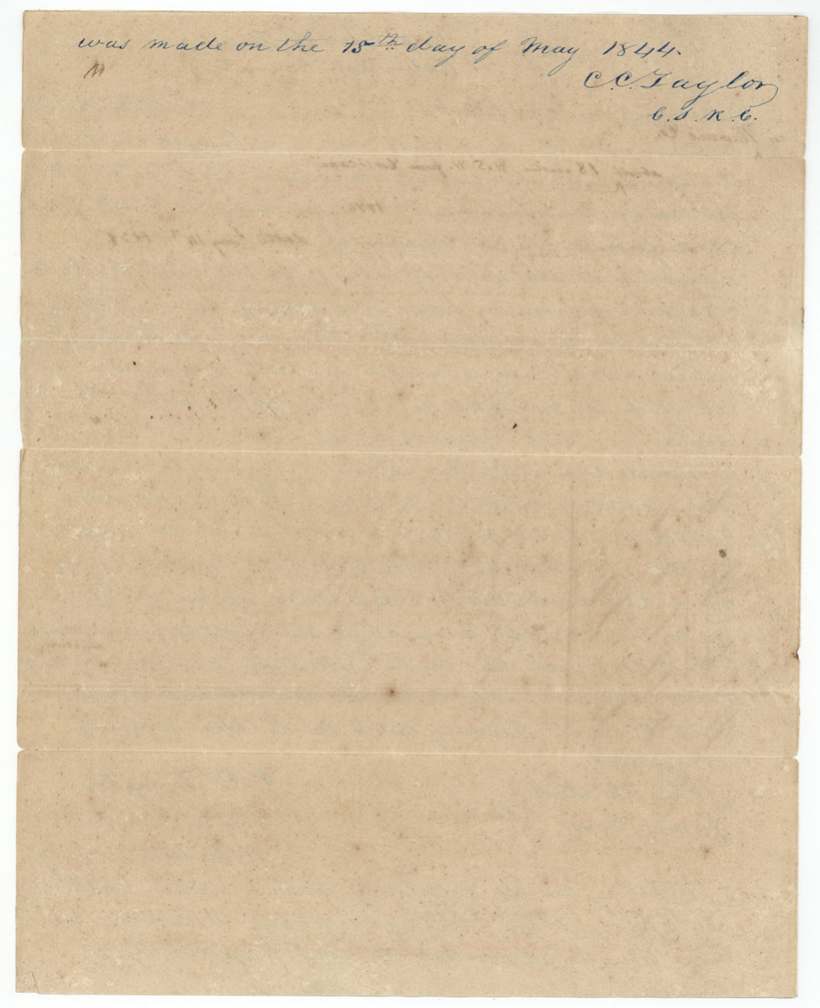
15 May 1844, C. C. Taylor, County Surveyor for Robertson County.
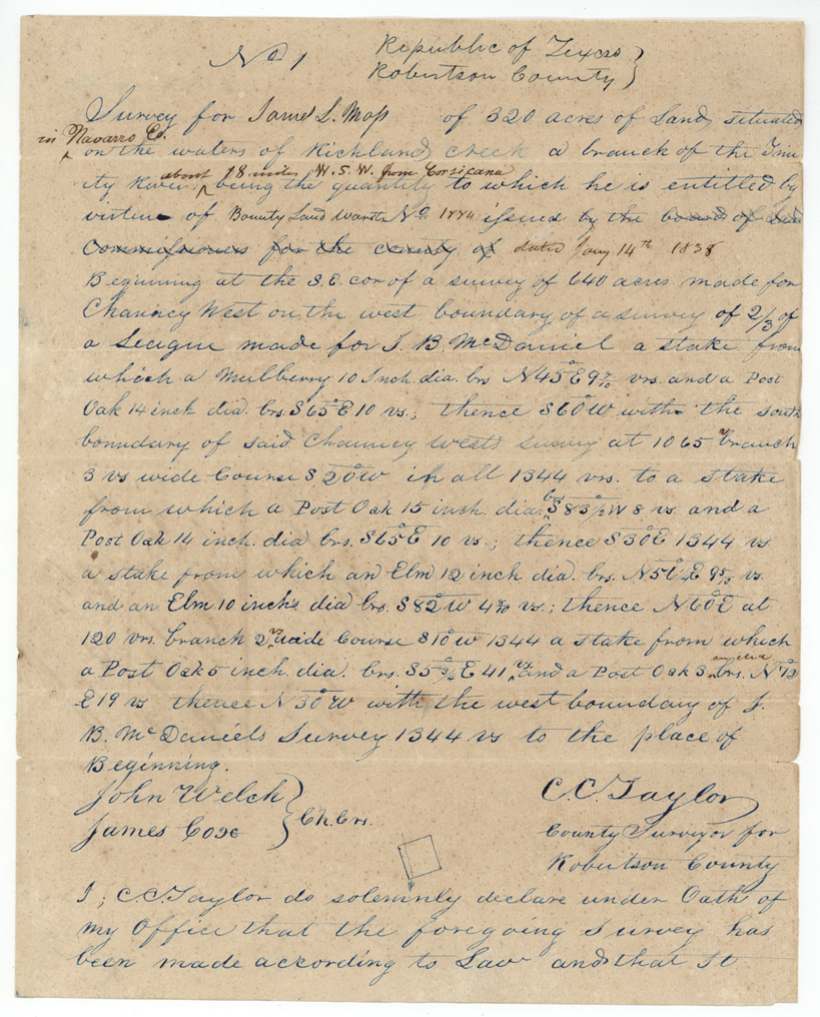
in Navarro Co. (added), on the waters of Richland(?) Creek, a branch of the Trinity River, about 18 miles W.S.W. from Corsicana (added later)
Chain carriers: John Welch, James Cose(?).
Book B, page 304, records of the Robertson County surveyor (certified 1846-03-10)
The patent
10 Jul 1850, No. 583, Vol. 4, to David Seeley, assignee of James L. Moss, delivered to not stated.
Also in the file
- The warrant number differs inside the file: the certificate and the deed give 1889, but the field notes say 1774.
- The field notes say the warrant came from a county board of land commissioners, but the certificate itself was issued by the Secretary of War at Houston.
- The certificate was first placed on a tract on the Trinity in May 1843 (before the September 1843 sale to Seeley); that location was crossed out and the land was instead surveyed in what became Navarro County a year later.
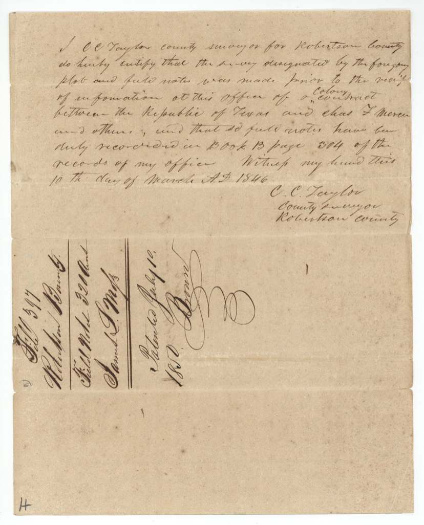
- The surveyor had to swear in 1846 that the survey was made before he knew of the Mercer colony contract, which would otherwise have reserved this area for colonists.
- Moss served only the three summer months after San Jacinto (June to September 1836) and sold his 320-acre right for $200.
Timeline
- 4 Jun 1836James L. Moss begins three months' service in the Army of Texas
- 4 Sep 1836Moss honorably discharged
- 14 Jan 1838320-acre bounty certificate issued at Houston by Sec. of War Barnard E. Bee
- 6 May 1843Certificate located on a Trinity tract at Franklin by C. C. Taylor (later struck out)
- 20 Sep 1843Moss sells the warrant to David Seeley for $200
- 15 May 1844C. C. Taylor surveys 320 acres on the waters of Richland(?) Creek
- 10 Mar 1846Taylor certifies survey predates Mercer colony notice; recorded Book B p. 304
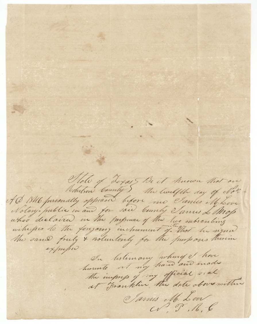
- 12 Nov 1846Moss acknowledges the deed before notary James M. Love at Franklin
- 15 Jun 1850Checked correct on map (Creuzbaur)
- 10 Jul 1850Certificate approved by Adj. Gen. Ben F. Hill and patent issued to David Seeley, No. 583 Vol. 4
The papers in the file
Every page of the Land Office file, in the order the Land Office keeps them (11 pages). Tap a page to see it larger.
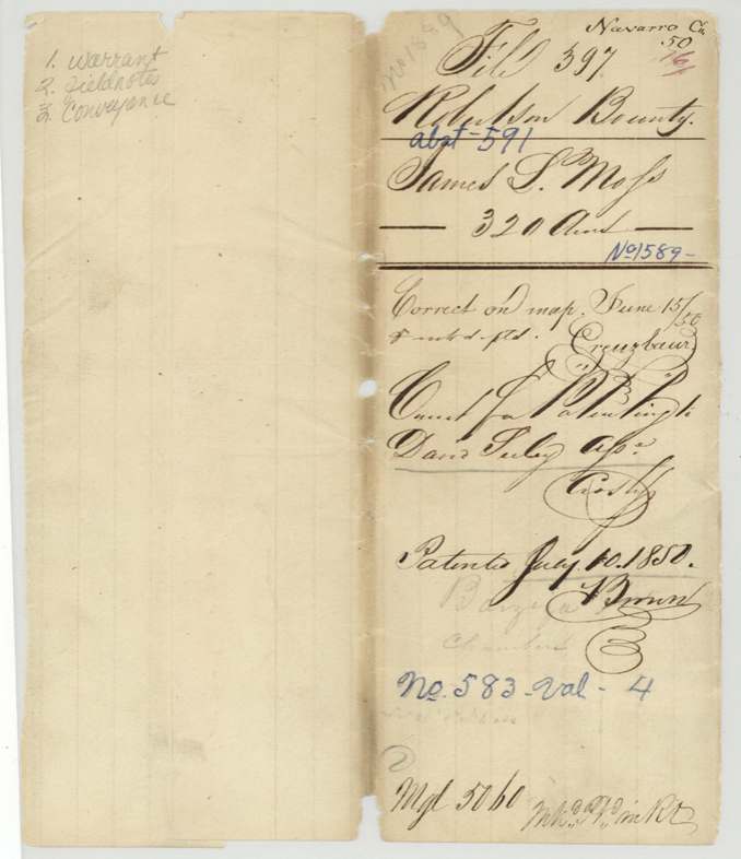
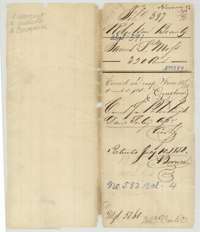 WrapperOuter wrapper for James L. Moss's 320-acre bounty file, listing the warrant, field notes and conveyance, with the patent entry of 10 July 1850.General Land Office, file 397, page 1 · in the scan
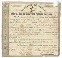 CertificateRepublic of Texas bounty certificate for 320 acres, issued at Houston on 14 January 1838 to James L. Moss for three months' service in 1836.General Land Office, file 397, page 2 · in the scan
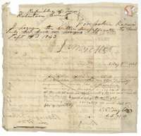 Back of the certificateBack of the bounty certificate, with the assignment to David Seeley in September 1843 and a struck-out location of 6 May 1843.General Land Office, file 397, page 3 · in the scan
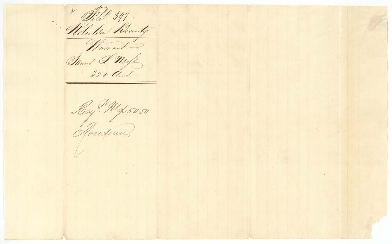
 File jacketJacket for the bounty warrant of James L. Moss, 320 acres, Robertson Bounty file.General Land Office, file 397, page 4 · in the scan
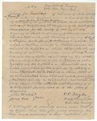 Field notesField notes for 320 acres on Richland Creek, surveyed for James L. Moss by county surveyor C. C. Taylor, 15 May 1844.General Land Office, file 397, page 5 · in the scan
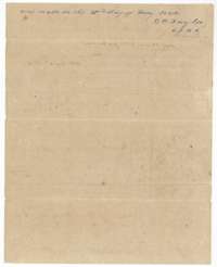 Field notesContinuation of the field notes, with the surveyor's oath dated 15 May 1844.General Land Office, file 397, page 6 · in the scan
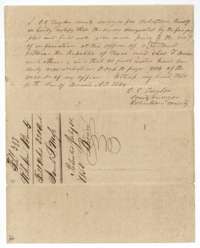 Surveyor's certificateSurveyor C. C. Taylor certifies on 10 March 1846 that the survey was made before notice of the Mercer colony contract, recorded in Book B.General Land Office, file 397, page 7 · in the scan
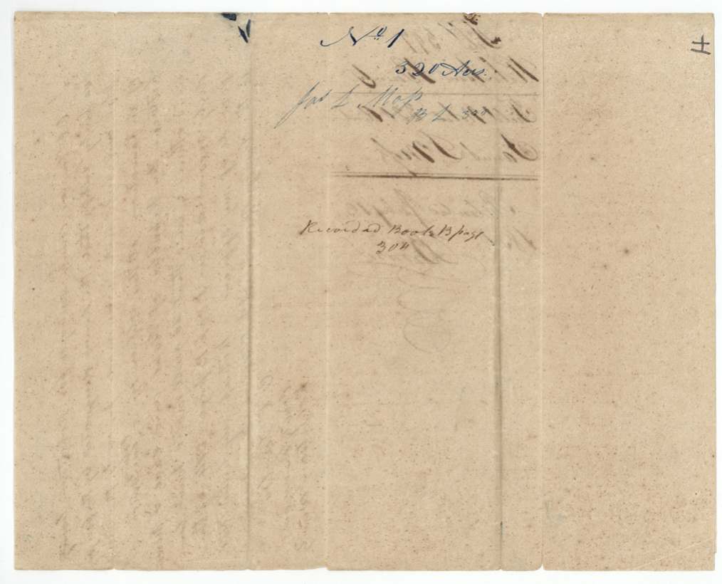
 DocketBack of the field notes, with the docket for survey No. 1, 320 acres, for James L. Moss.General Land Office, file 397, page 8 · in the scan
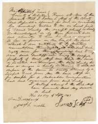 TransferDeed of 20 September 1843 in which James L. Moss sells his bounty warrant right to 320 acres to David Seeley for 200 dollars.General Land Office, file 397, page 9 · in the scan
 DocketBack of the deed, with the file docket for the conveyance from James L. Moss to David Seeley.General Land Office, file 397, page 10 · in the scan
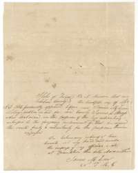 AffidavitNotary's acknowledgment, dated 12 November 1846 at Franklin, that James L. Moss signed the deed to David Seeley.General Land Office, file 397, page 11 · in the scan
Scans courtesy of the Texas General Land Office, Austin, from its Land Grant Database.
Neighbouring surveys
Sources
- Texas General Land Office, Land Grant Database: Navarro County, Abstract 591
- The Land Office file, scanned (PDF, at the General Land Office)
- 1924 map: courtesy of the Texas General Land Office, Austin, Map 73249, used under licence. Topo: U.S. Geological Survey, The National Map. Aerial photographs: U.S. Department of Agriculture, National Agriculture Imagery Program, 2012, 2018 and 2022. Survey outlines: Railroad Commission of Texas, Original Texas Land Survey. Grant records and files: Texas General Land Office.