Blackland TX · ← All the original surveys
Thomas P. Shapard Survey, Abstract 723
- Granted to
- Thomas P. Shapard
- Kind of grant
- Headright, first classLand for settlers who were in Texas before independence, 2 March 1836.
- Land Office file
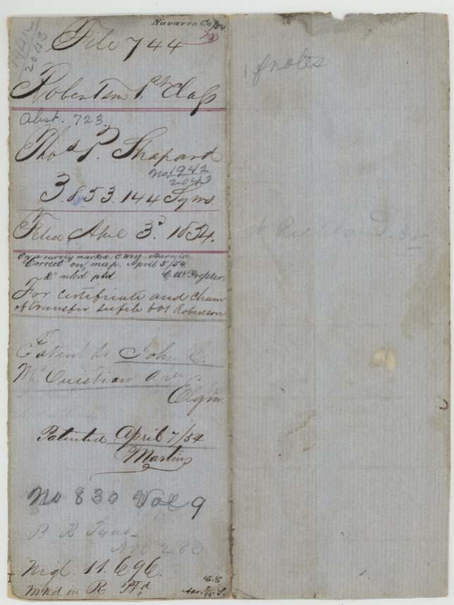
- Robertson 1st class, file 744
- Certificate
- No. 1942/2043
- Acres
- 682.52
- Patented to
- John C. McCuistion
- Patent
- 07 Apr 1854 · No. 830, Vol. 9
Tap a survey to open its page.
What the file shows
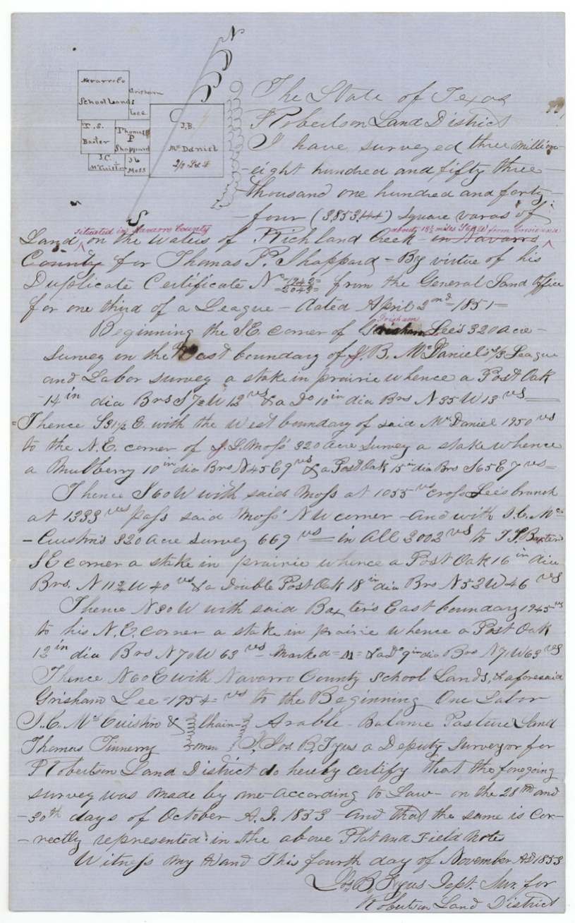
Thomas P. Shapard held a duplicate first-class certificate (No. 1942/2043, dated 2 April 1851) for one-third of a league; the original certificate and his transfer to John C. McCuistion are in file Robertson 601. Deputy surveyor Tyus laid out 3,853,144 square varas on the waters of Richland Creek on 28-30 October 1853, with McCuistion himself carrying chain, between the Grisham Lee, McDaniel, Moss, McCuistion and Baxter surveys. The GLO map showed the tract overlapping a 640-acre bounty survey for Chauncy West, but passed it, and the patent (No. 830, Vol. 9) issued to McCuistion as assignee on 7 April 1854.
The certificate
headright 1st class (duplicate certificate), No. 1942/2043, one third of a league (this survey 3,853,144 sq. varas = 3 85/100 labors), General Land Office (duplicate certificate), 2 Apr 1851.
Not stated in this file — certificate and chain of transfer are in file Robertson 601 ('For certificate and chain of transfer see file 601 Robertson')
Changes of hand
- undatedThomas P. Shapard → John C. McCuistion. Transfer papers are in file Rob. 601; patent issued to McCuistion as assignee.
The survey
1853-10-28 to 1853-10-30 (certified 1853-11-04), Jos.(?) B. Tyus, Deputy Surveyor, Robertson Land District.
Navarro County, on the waters of Richland Creek, about 18½(?) miles S 60(?) W from Corsicana (red-ink addition)
Chain carriers: J. C. McCuistion, Thomas Tinnery(?).
Book I(?), page 339
The patent
7 Apr 1854, No. 830, Vol. 9, to John C. McCuistion, assignee, delivered to B. R. Tyus (wrapper 'B. R. Tyus' — he paid the dues).
Also in the file
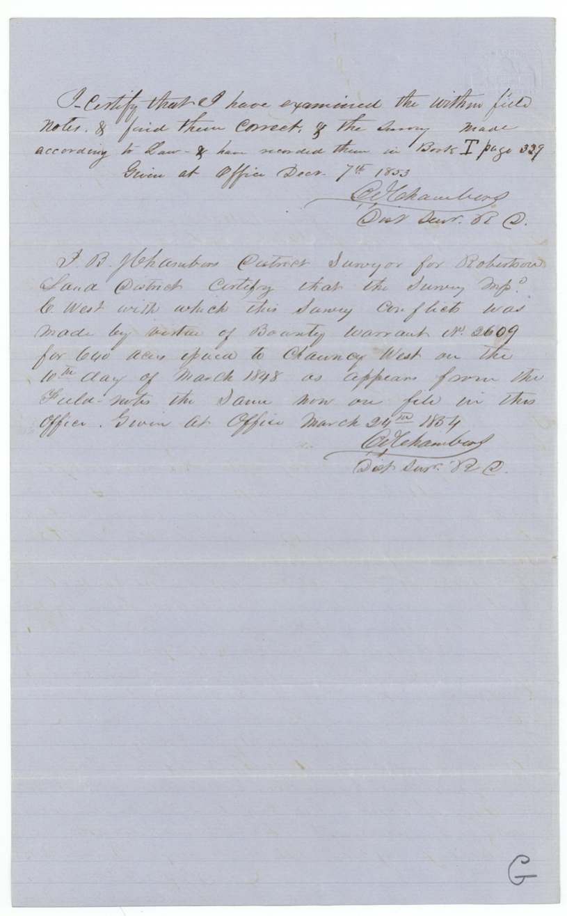
- The survey overlapped land marked on the GLO map for C. West, a 640-acre bounty-warrant survey (Warrant No. 2609, issued to Chauncy West in 1848); the GLO still passed it 'otherwise correct'.
- The man who received the patent, John C. McCuistion, also carried the chain on the survey and owned the next survey to the south.
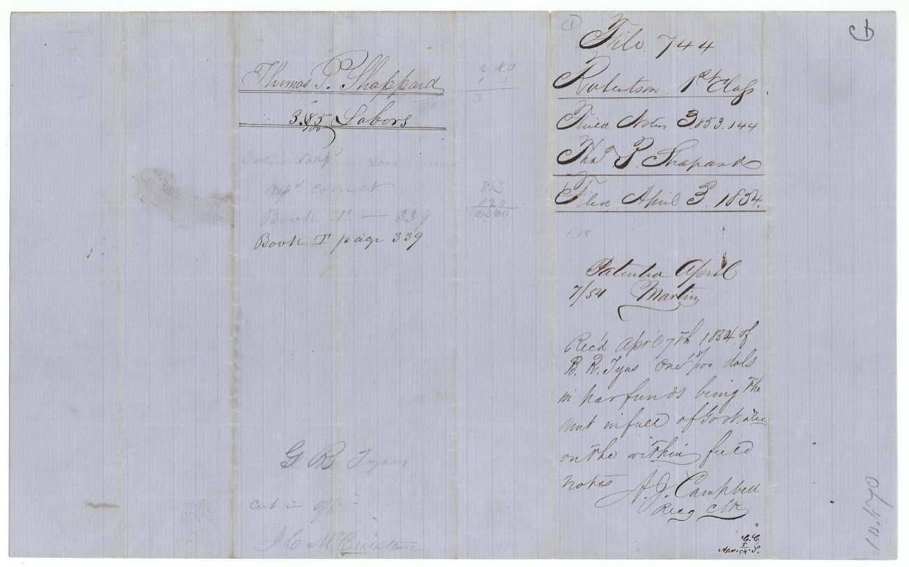
- The government fee was only about one dollar and eighteen cents, paid 'in par funds'.
Timeline
- 10 Mar 1848Bounty Warrant No. 2609 issued to Chauncy West (the conflicting survey)
- 2 Apr 1851GLO issues duplicate certificate No. 1942/2043 to Thomas P. Shapard for ⅓ league
- 28 Oct 1853Deputy surveyor Tyus surveys 3,853,144 sq. vs. on Richland Creek waters (to 30 Oct)
- 7 Dec 1853B. J. Chambers records field notes, Book I p. 339
- 24 Mar 1854Chambers certifies details of the conflicting C. West survey
- 3 Apr 1854Field notes filed in GLO
- 5 Apr 1854Map check by C. W. Pressler notes conflict with C. West
- 7 Apr 1854Dues paid by B. R. Tyus; patent No. 830 Vol. 9 to John C. McCuistion, assignee
The papers in the file
Every page of the Land Office file, in the order the Land Office keeps them (4 pages). Tap a page to see it larger.
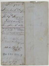 File jacketFile jacket for the Thomas P. Shapard survey of 3,853,144 square varas, with the patent entry of 7 April 1854 to John C. McCuistion, assignee.General Land Office, file 744, page 1 · in the scan
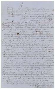 Field notesField notes with sketch plat for 3,853,144 square varas on the waters of Richland Creek, surveyed for Thomas P. Shapard by deputy surveyor Tyus, 28 to 30 October 1853.General Land Office, file 744, page 2 · in the scan
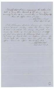 Surveyor's certificateDistrict surveyor B. J. Chambers certifies the field notes correct on 7 December 1853, and on 24 March 1854 describes the conflicting Chauncy West survey.General Land Office, file 744, page 3 · in the scan
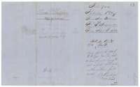 DocketBack of the file, with the docket for the Shapard survey and the receipt of 7 April 1854 for the government dues paid on the patent.General Land Office, file 744, page 4 · in the scan
Scans courtesy of the Texas General Land Office, Austin, from its Land Grant Database.
Neighbouring surveys
Sources
- Texas General Land Office, Land Grant Database: Navarro County, Abstract 723
- The Land Office file, scanned (PDF, at the General Land Office)
- 1924 map: courtesy of the Texas General Land Office, Austin, Map 73249, used under licence. Topo: U.S. Geological Survey, The National Map. Aerial photographs: U.S. Department of Agriculture, National Agriculture Imagery Program, 2012, 2018 and 2022. Survey outlines: Railroad Commission of Texas, Original Texas Land Survey. Grant records and files: Texas General Land Office.